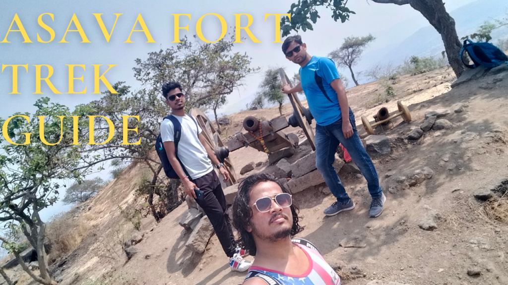
- Asava fort/Killa Trek guide
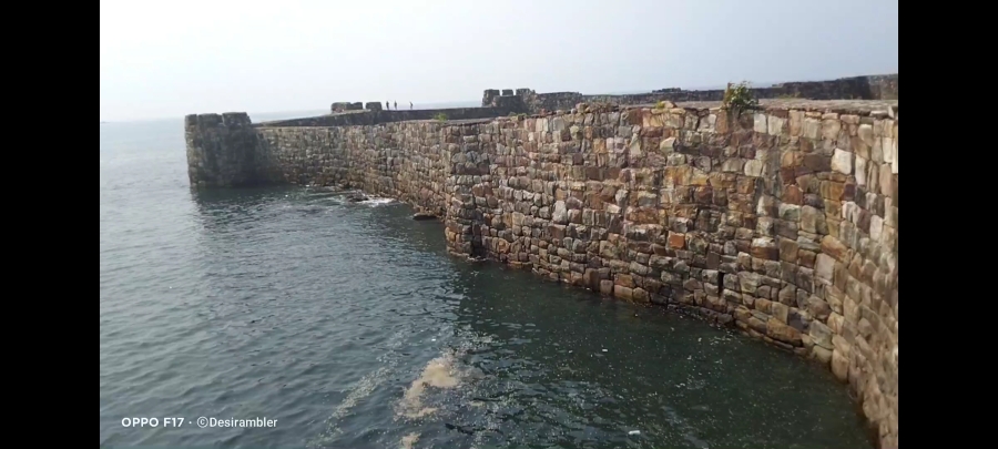
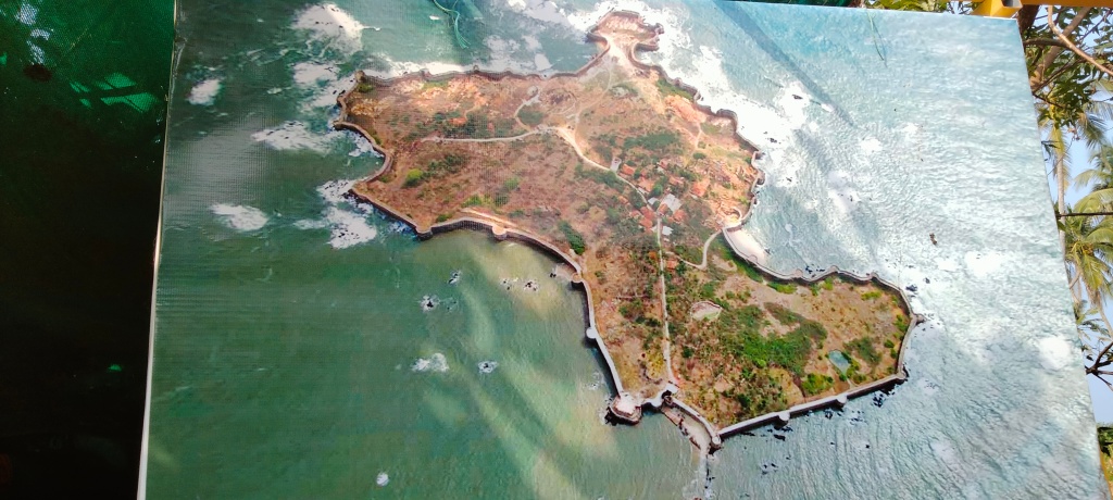
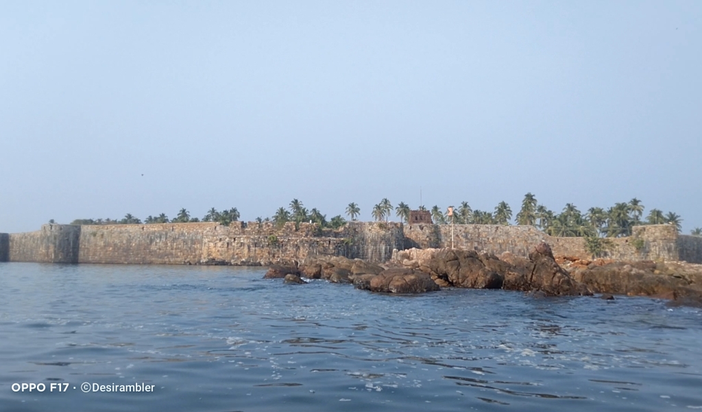
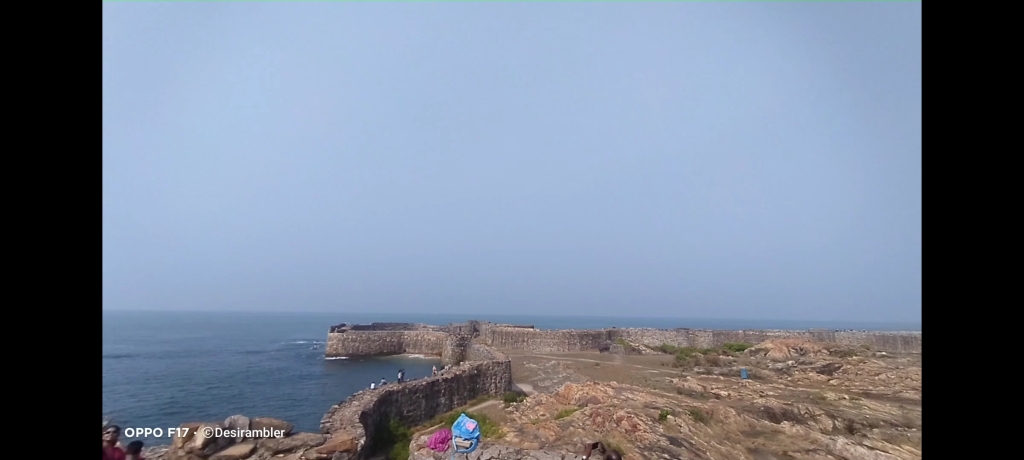
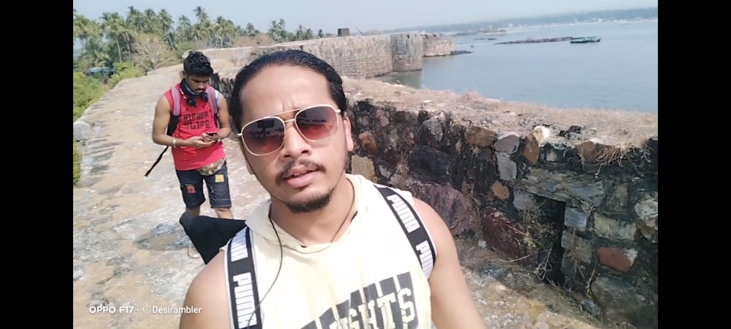
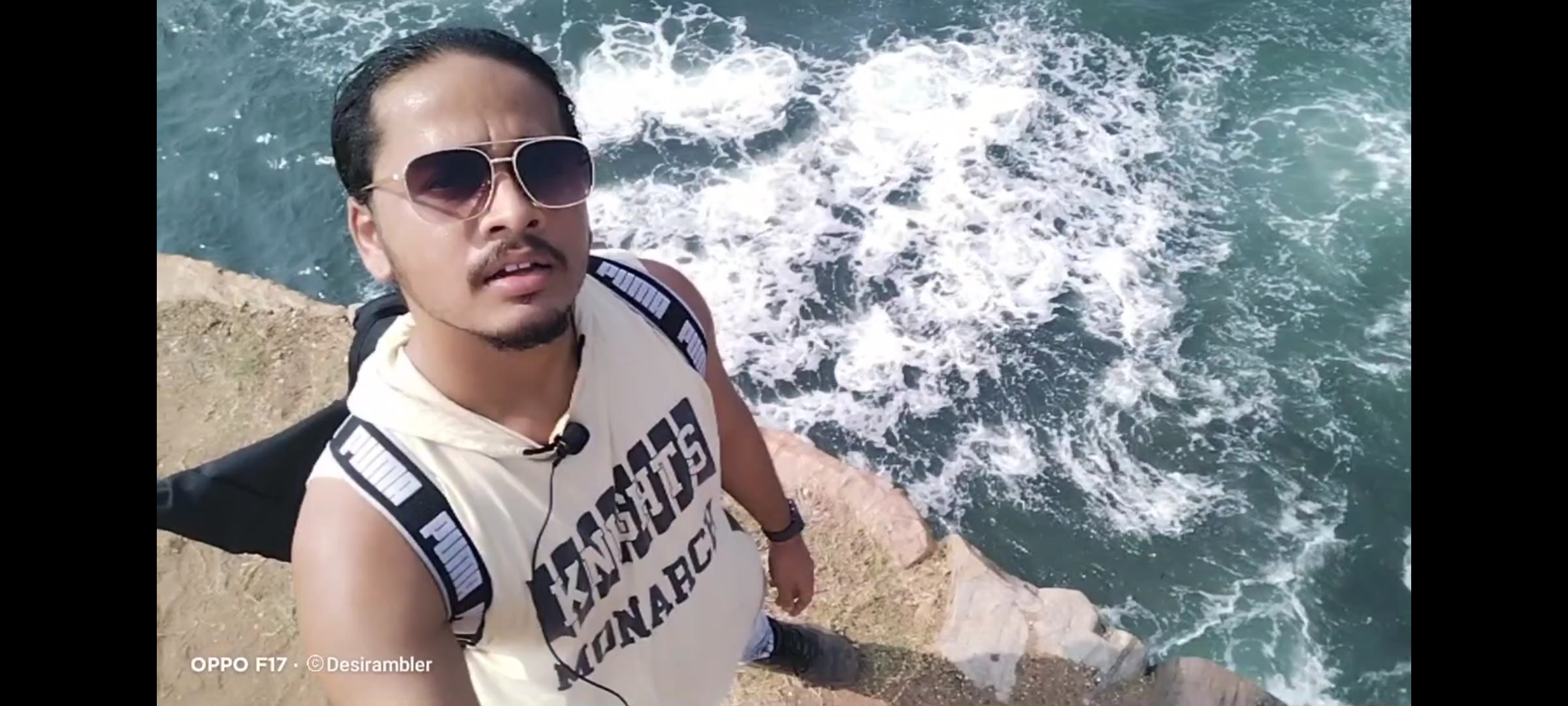
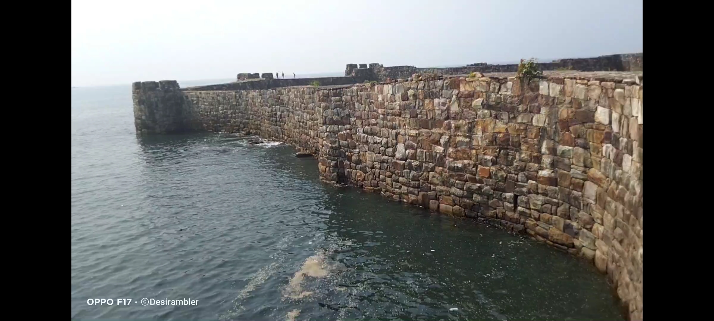
- Sindhudurg fort”Malvan Killa”
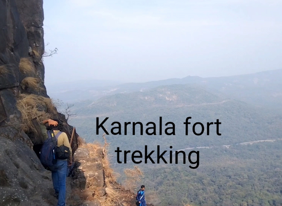
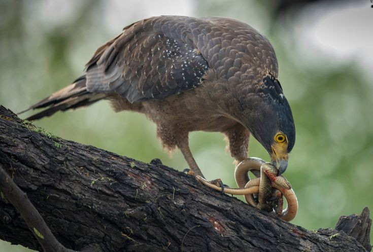
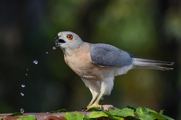
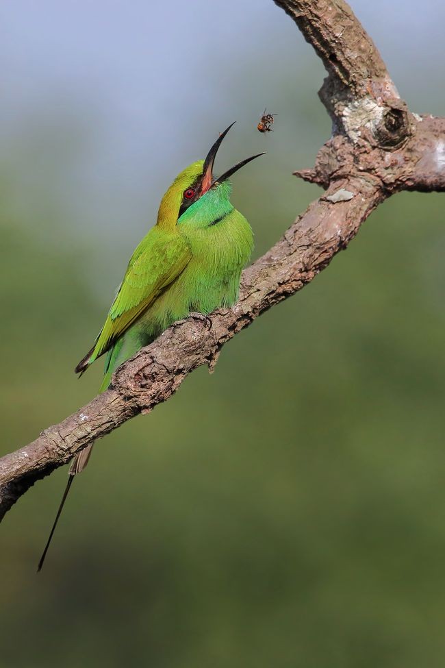
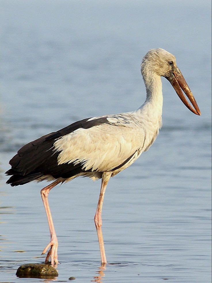
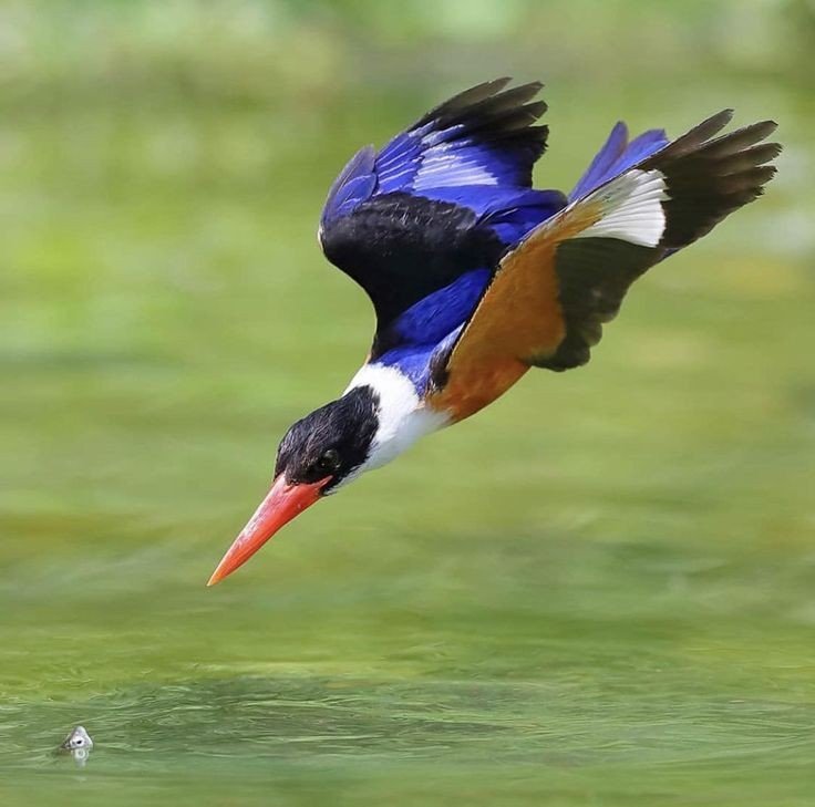
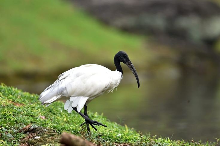
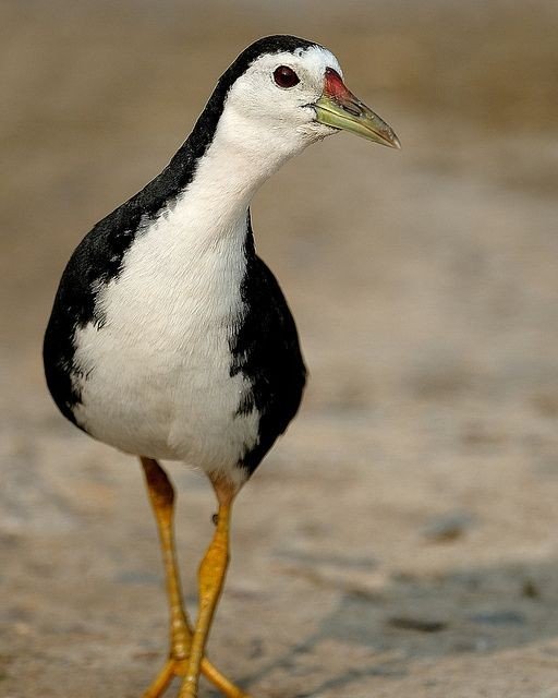
- Karnala fort and Bird Scantuary (guide)
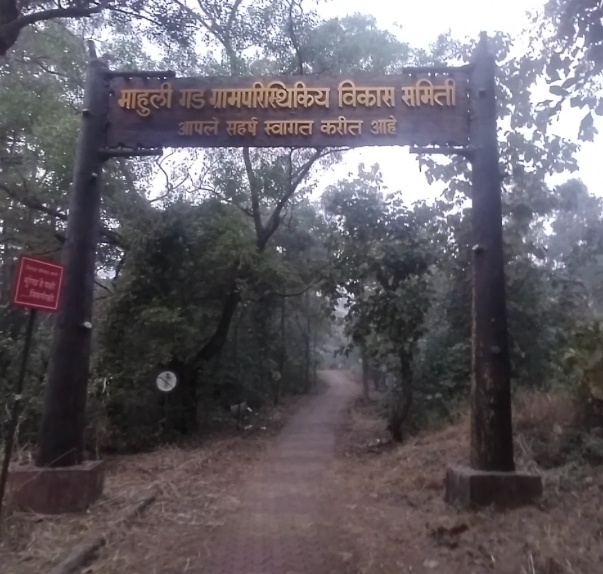
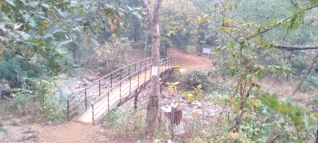
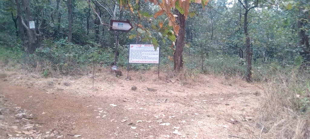
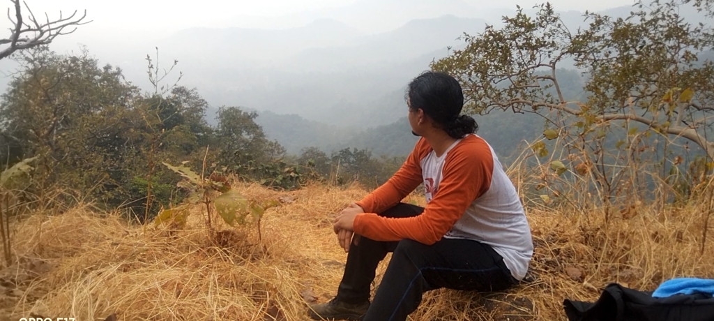
- Mahuli trek with full guide
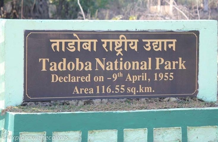
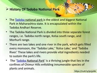
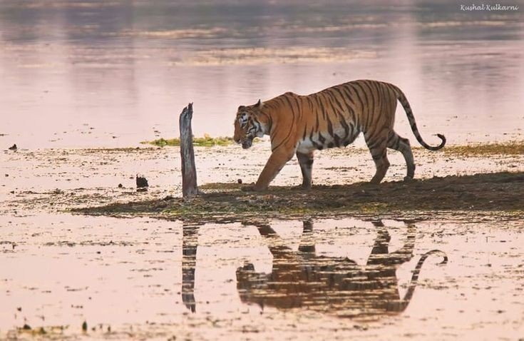
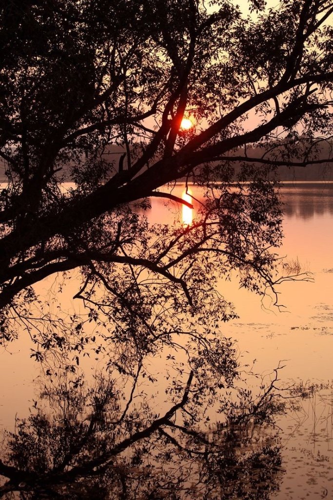
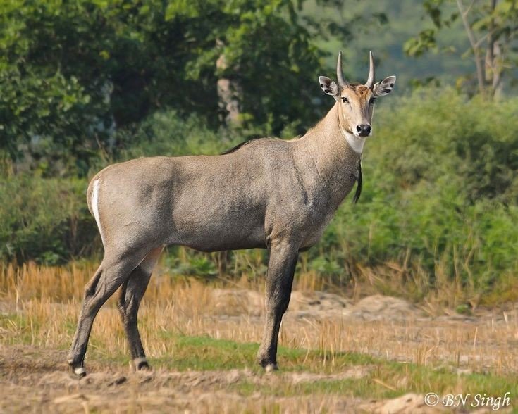
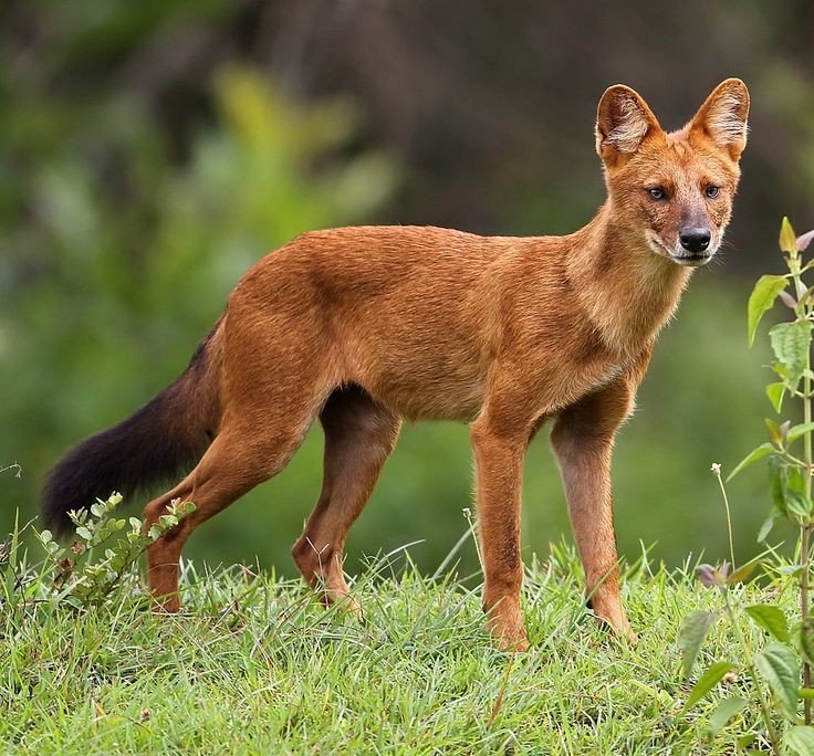
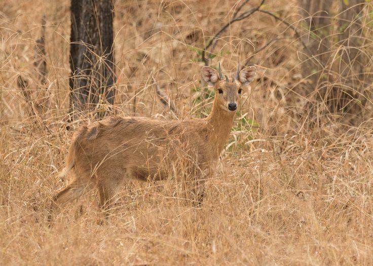
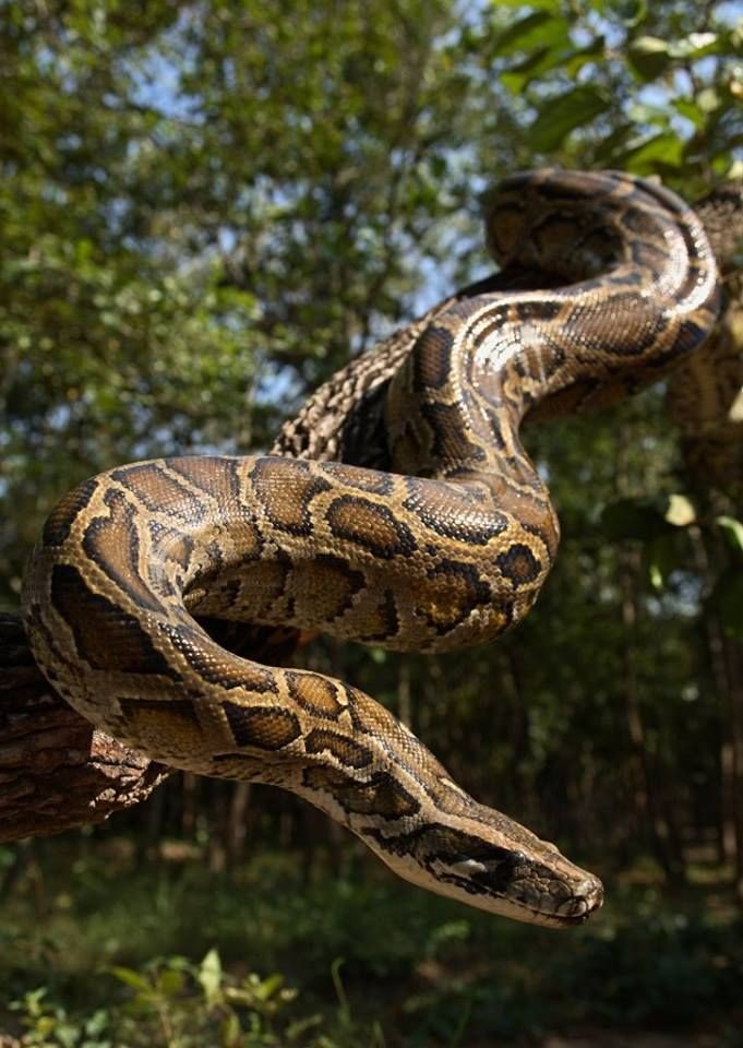
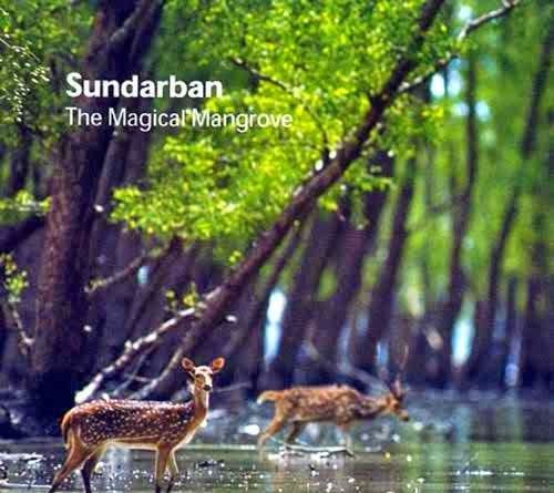
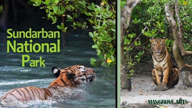
- Tadoba Andhari Tiger Reserve
Fort Info
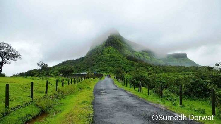
Name:- Asawa/ Asava
Height:- 1080ft
Place:- Boisar, Maharashtra, India
Difficulty:- Moderate
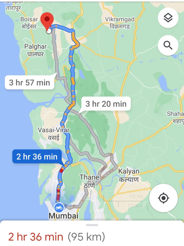
Distance:- 95km from Mumbai
Trek Duration:- 1hr 30min Max/1hr 15min minimum
Personal Experience
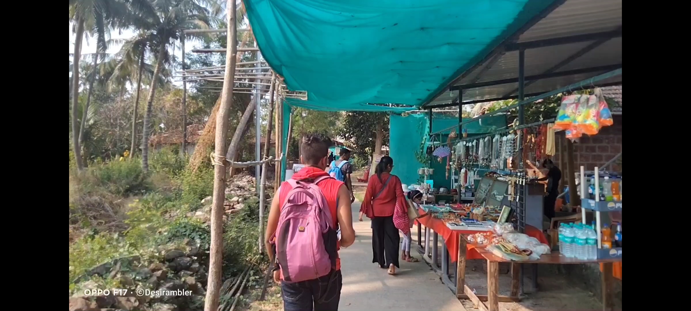
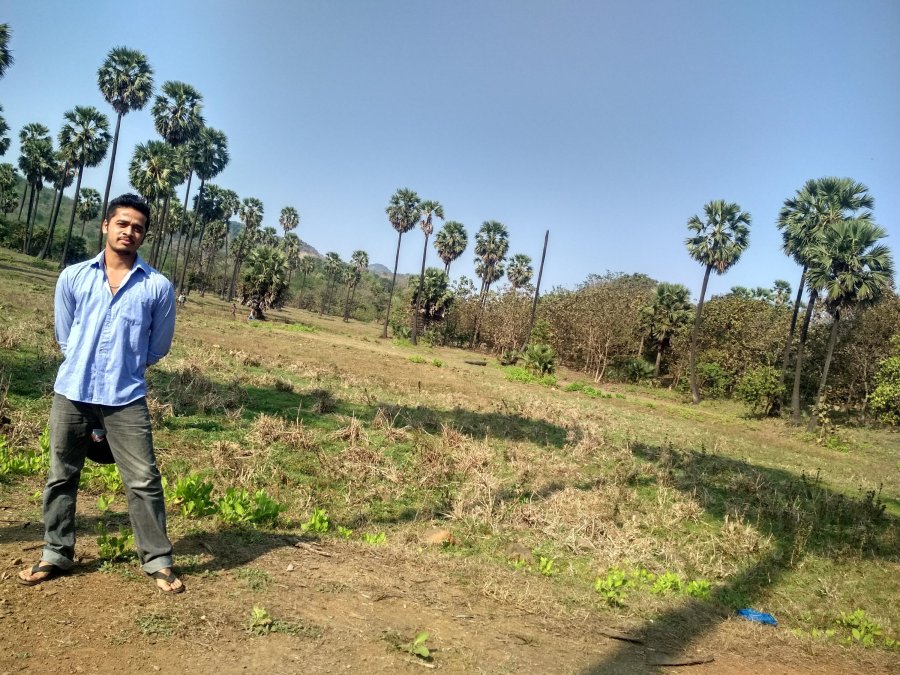
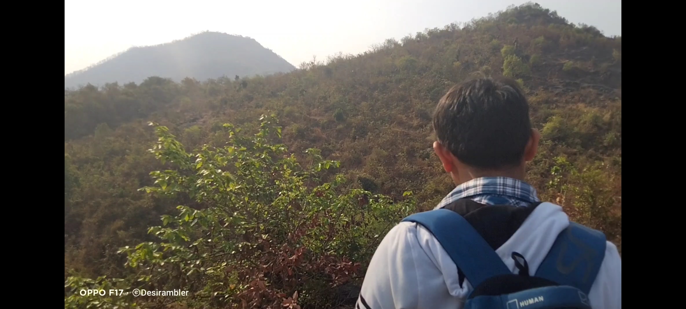
Started my journey to Asava/ Asawa fort which is situated in Boisar, Palghar District at 6:00@m early morning as I always prefer to go Solo but while watching my blogs and vlogs on my You Tube channel “Desirambler” they also came with me so the joy of Trekking gets more, it was and it is the time of Corona pandemic so there were few restrictions like lack of Road Transport and it was complete shutdown of Railway so Personal Vehicle was the best choice, 2 bikes for 3 person including me, our road trip started from the place where we met in Mumbai, as per the Google map it showed 2hr 36min, but with the descent speed and empty road we reached in 2hrs, the real confusion was to find the road to Fort through Village Warangade, it took 15 mins to find the actual way. we started our trail by 9:00 am after having breakfast.
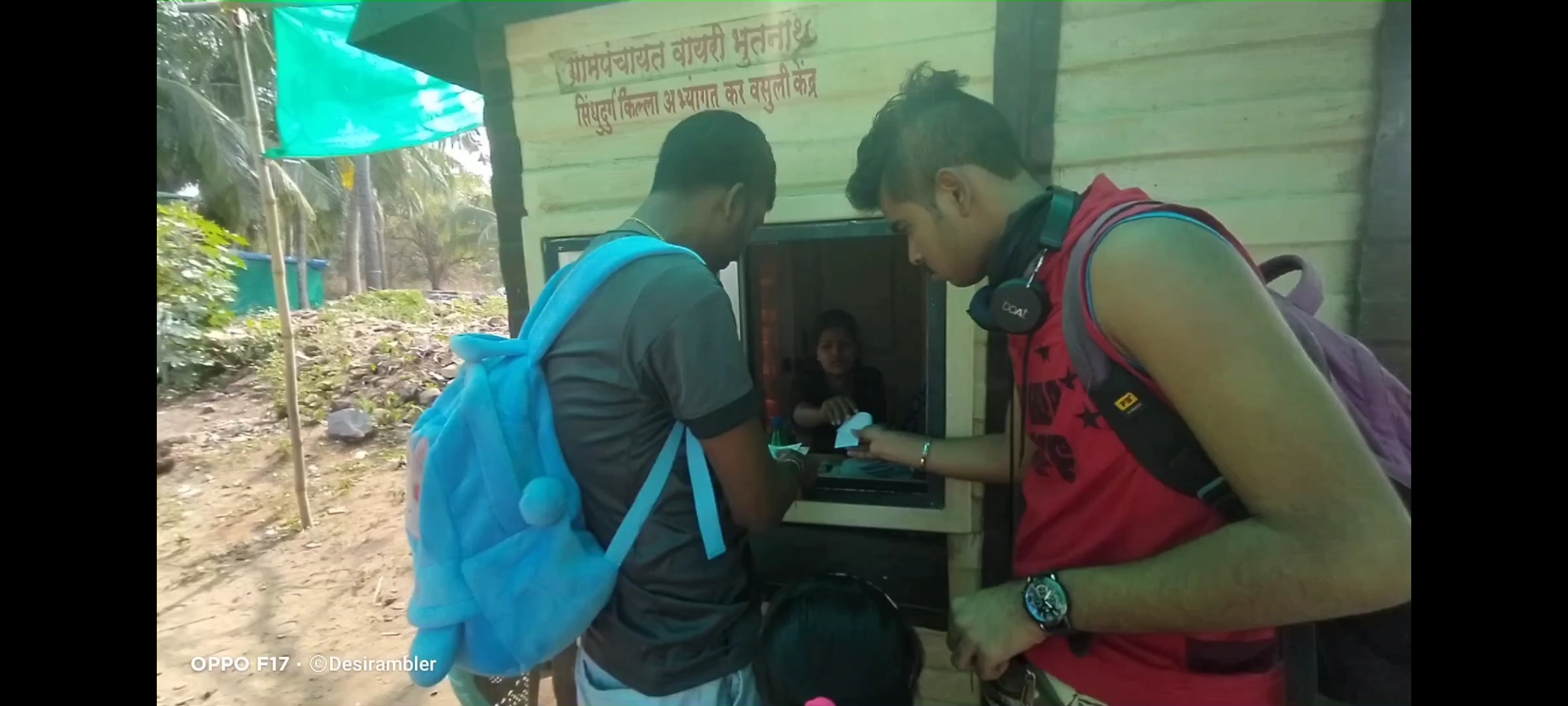
You will find no parking facility near the fort, you can park bike or car in the Village on your own risks, we parked our bikes at the starting point of the trek which was 10 mins away from the Warangade Village, if you still got confused in finding the way through the village first reach near Viraj Industry which is the biggest industry at that place.
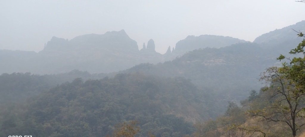
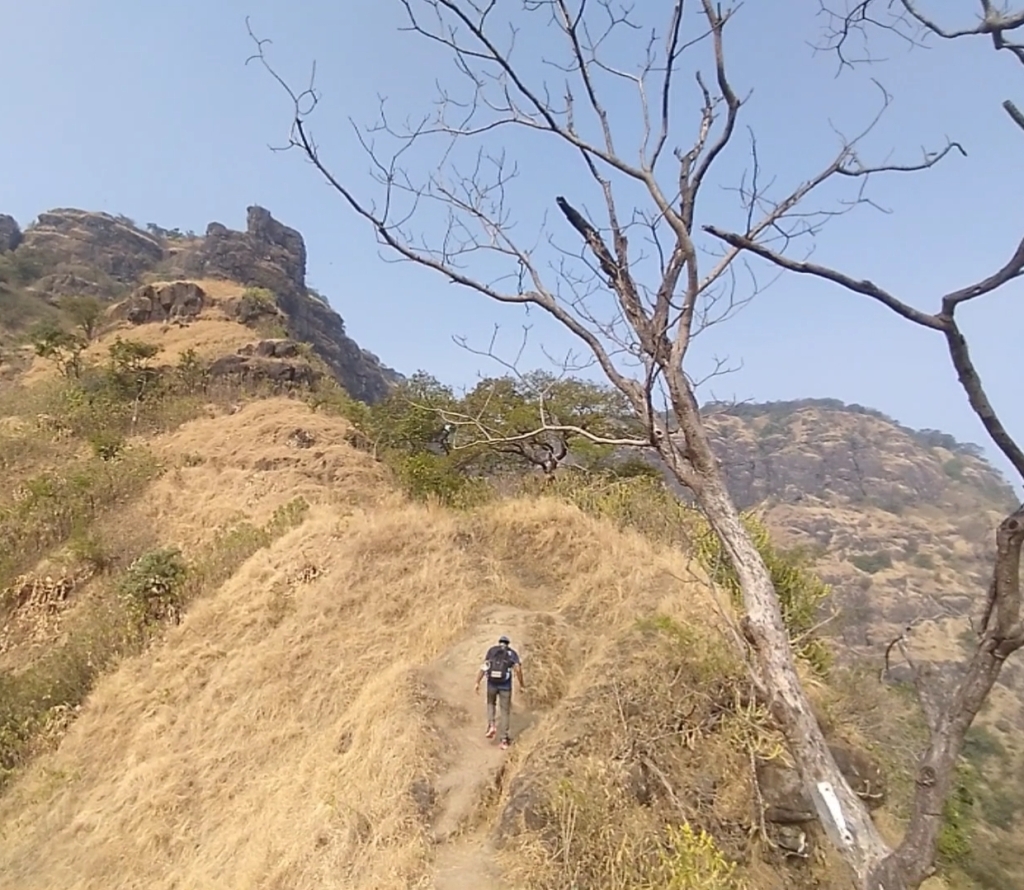
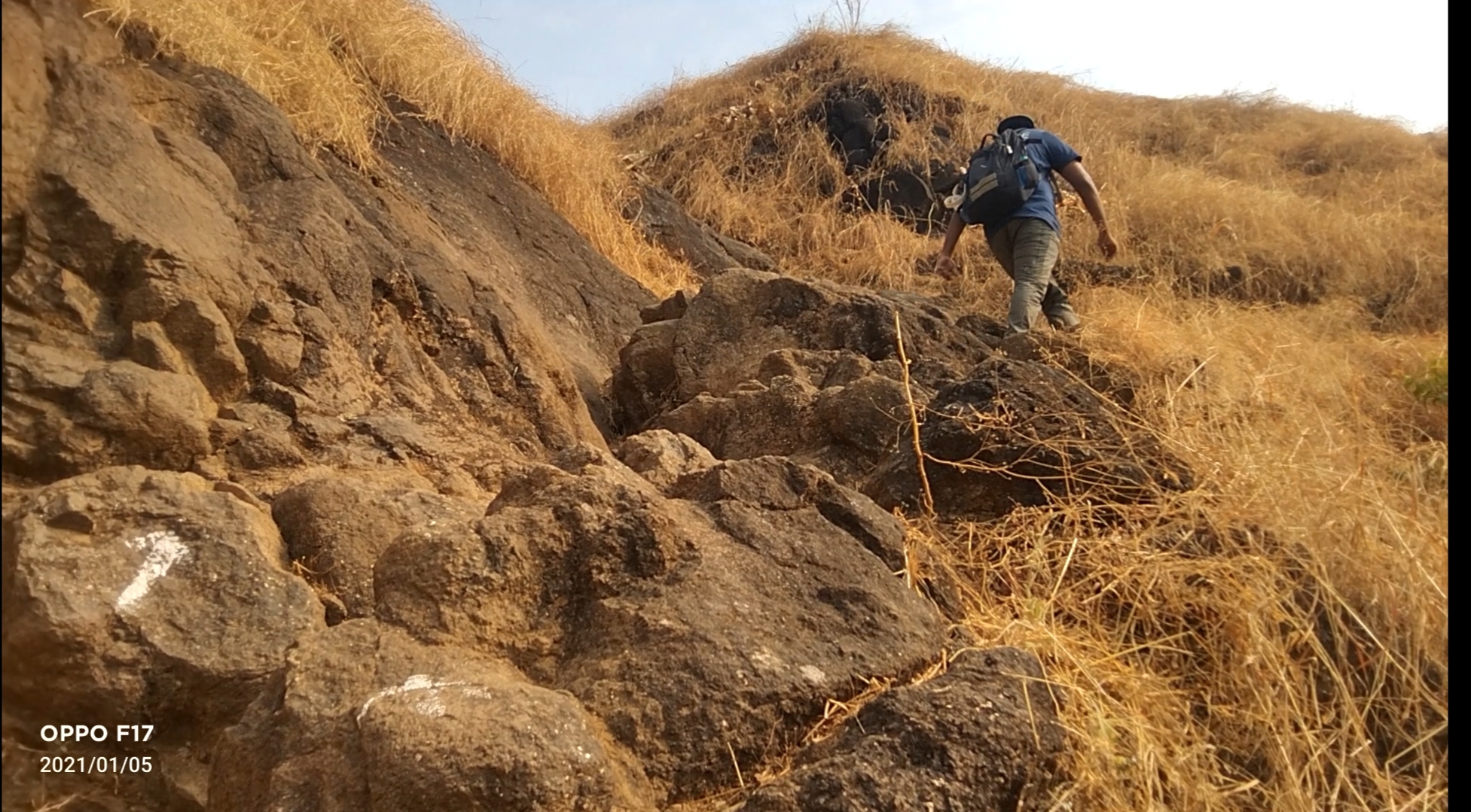
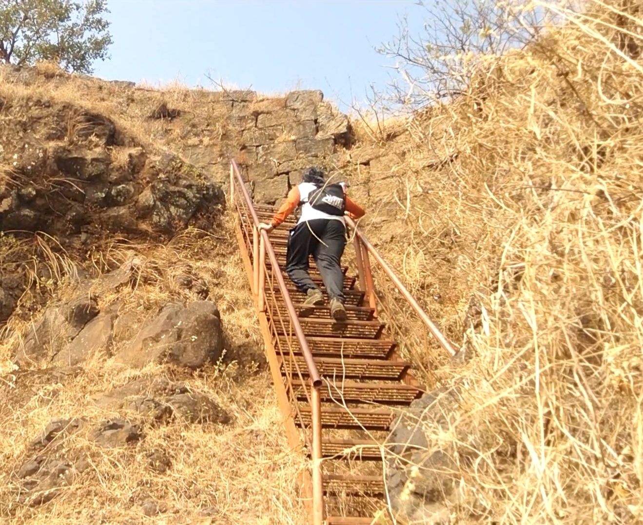
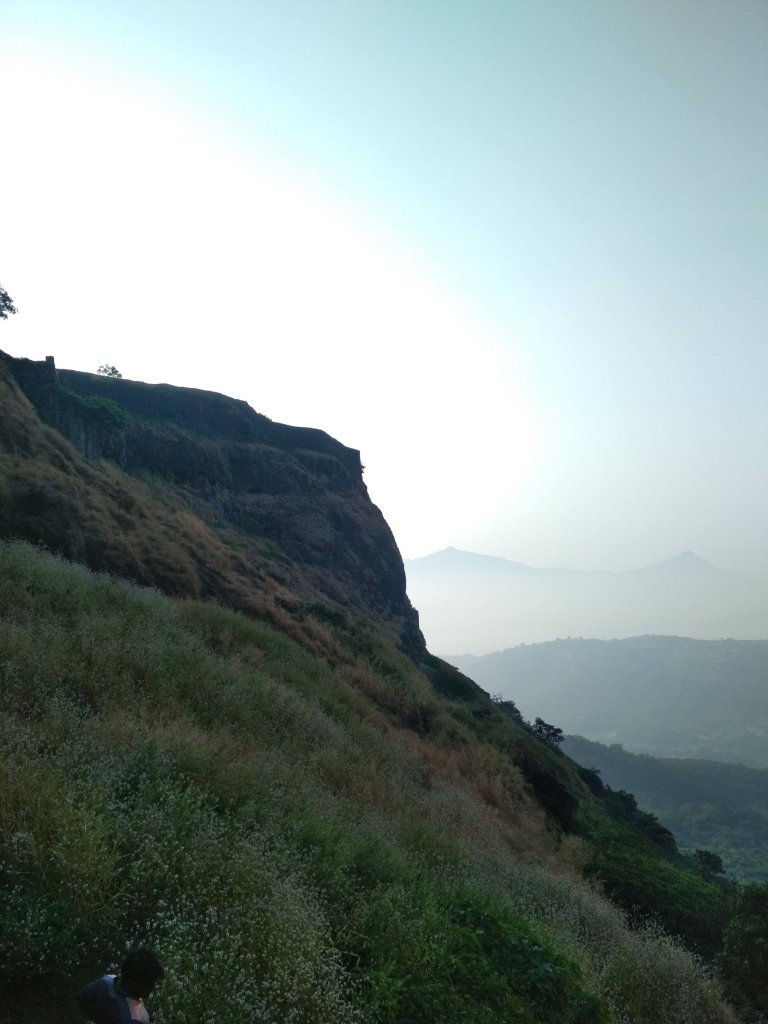
Don’t ever judge the difficulty of the Trek by its height, because I did so and got trapped in climbing the 2nd and final mountain by underestimating the way. as compare to my previous trek experience the climb was with rocks and the rocks gives legs support to climb, but at this fort the climb was full of slippery rocky way which gave our legs lots of tension to climb.
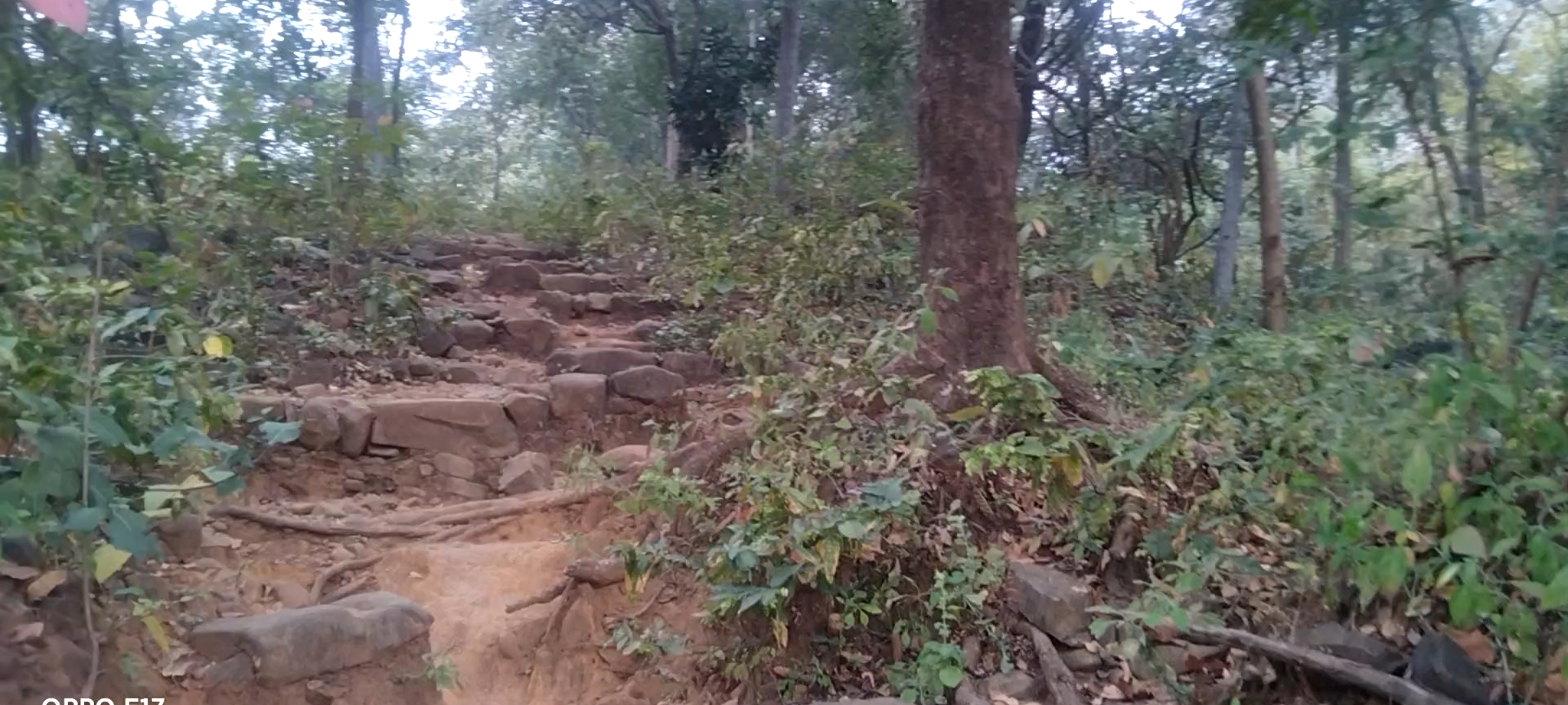
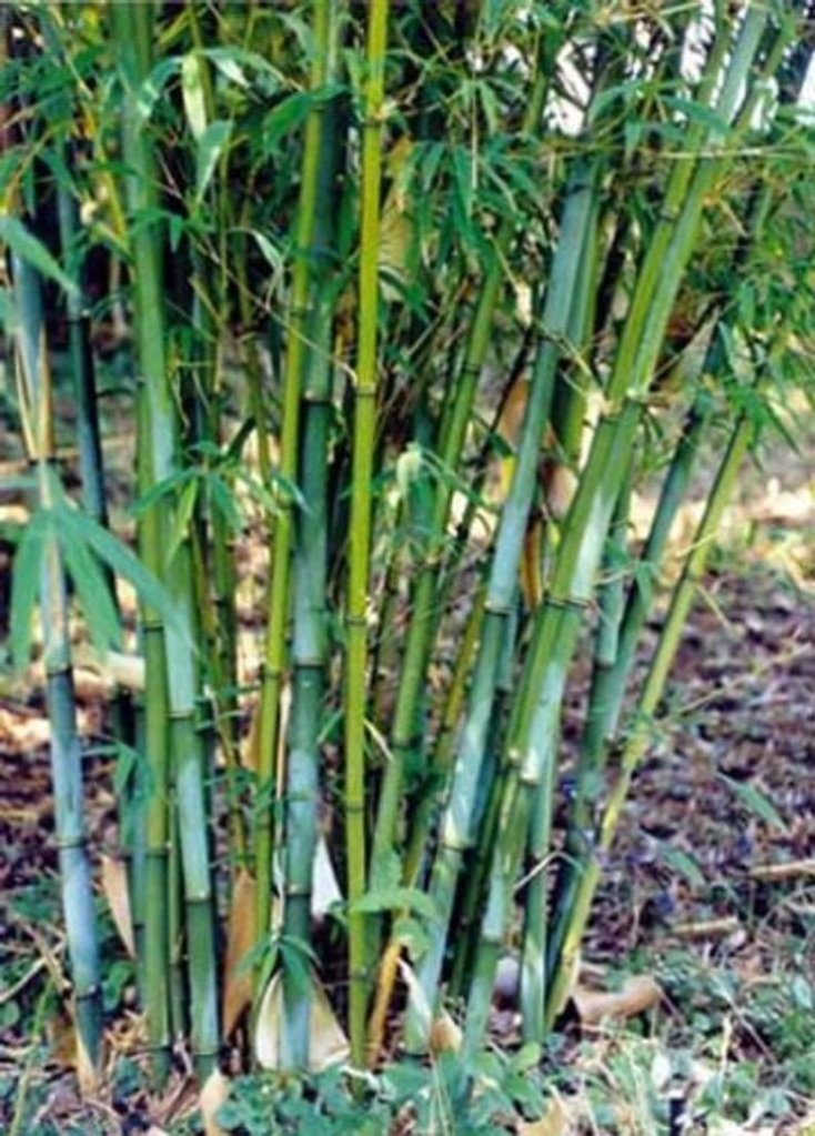
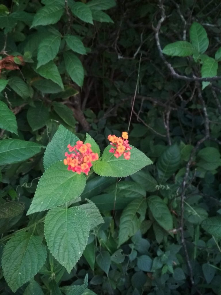
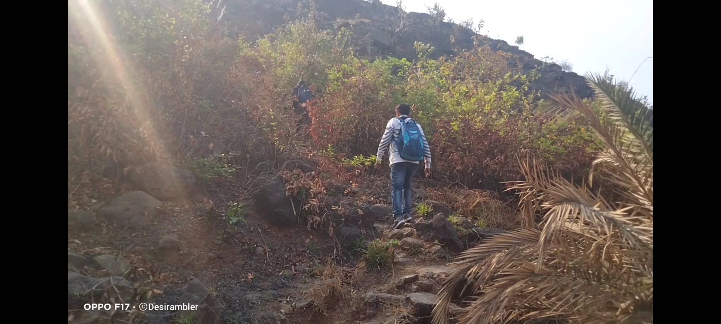
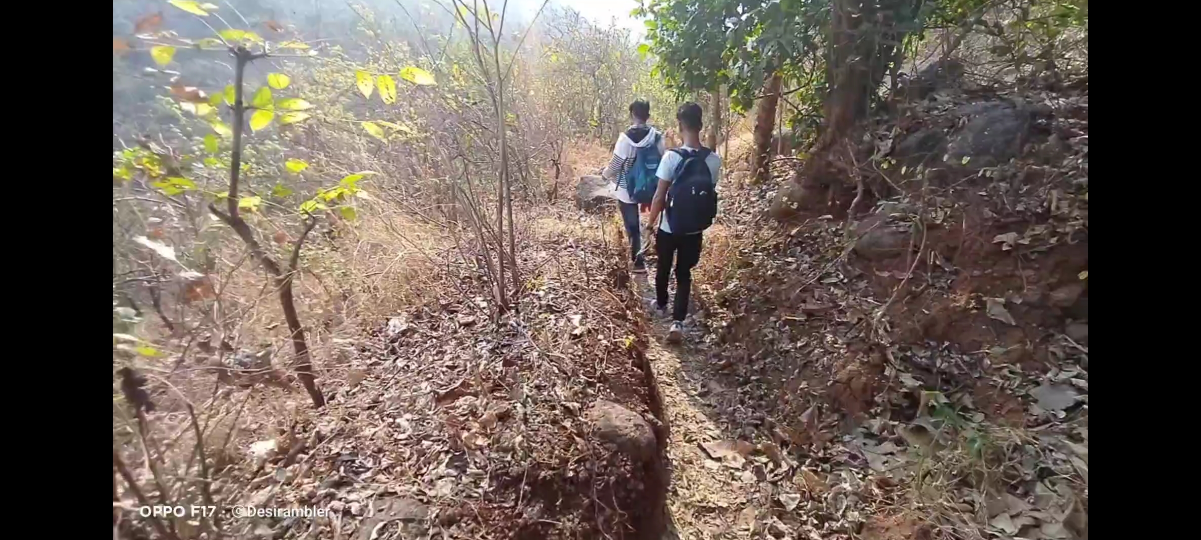
Plz don’t forget to bring enough water bottles, I recommend 3liters per person and dehydration pills if possible, carry non oily snacks as I suggest in my every Trek, on the other hand no Stores for water and snacks in between the way, the trail is full of Woodland forest with no air flowing in summer,
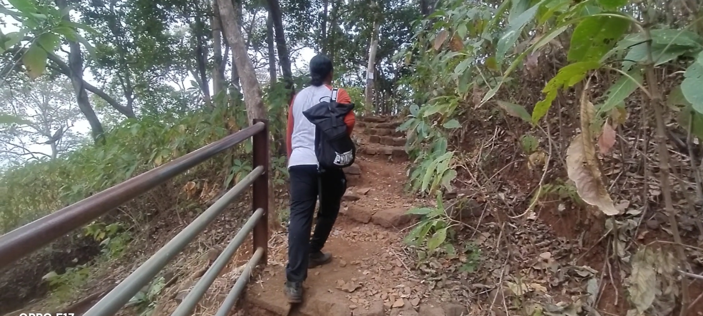
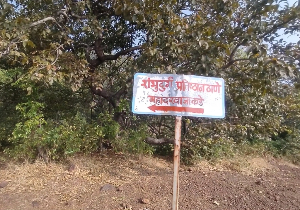
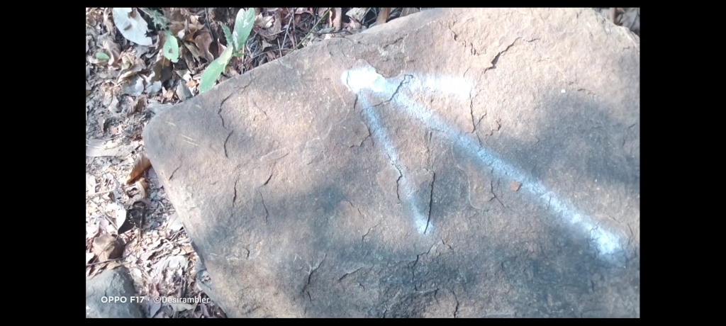
No chances of getting lost in the jungle because the villagers have marked arrow like picture on some countable rocks in the way to help the trekkers like us to find the route,
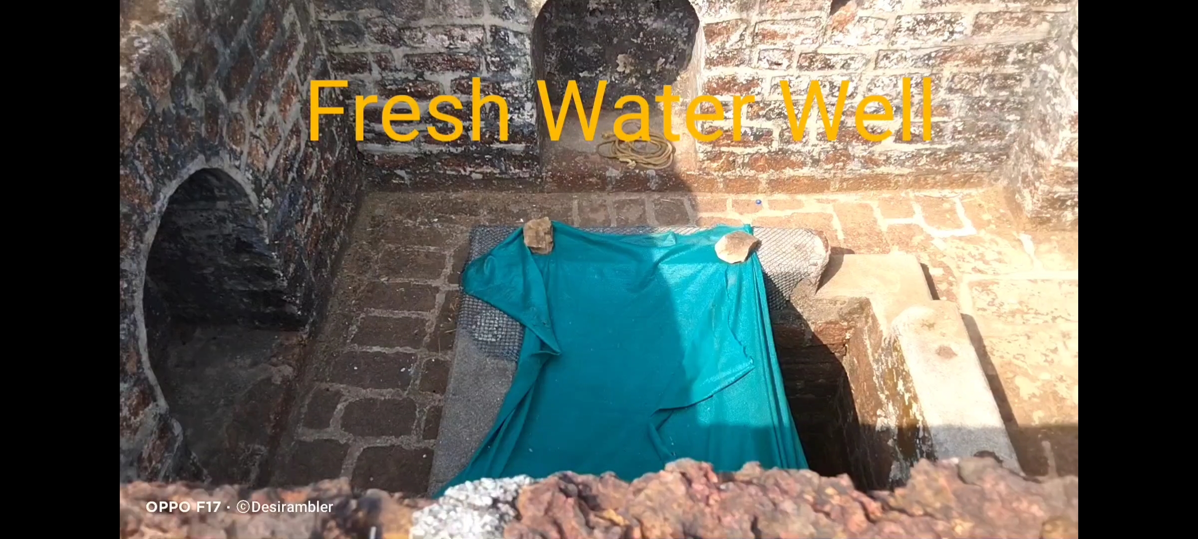
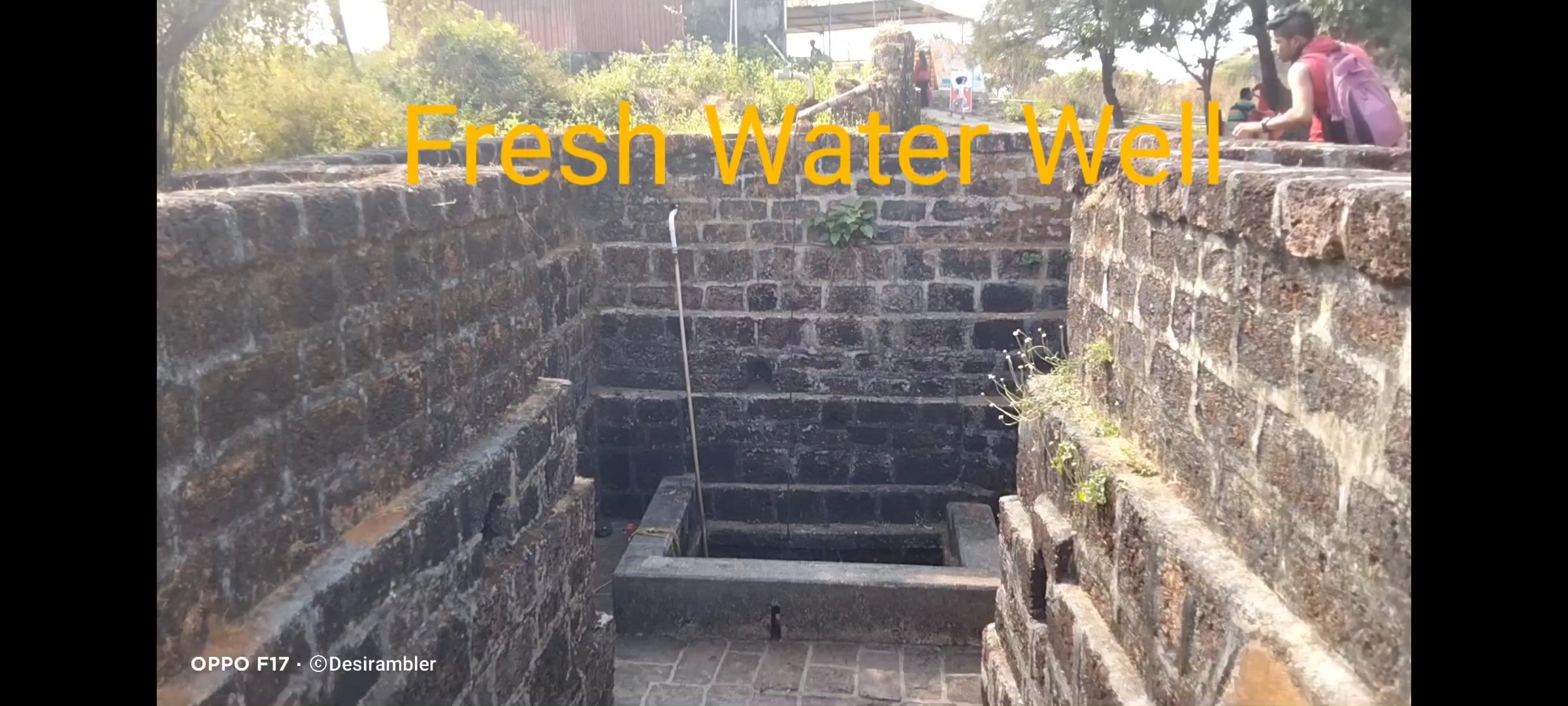
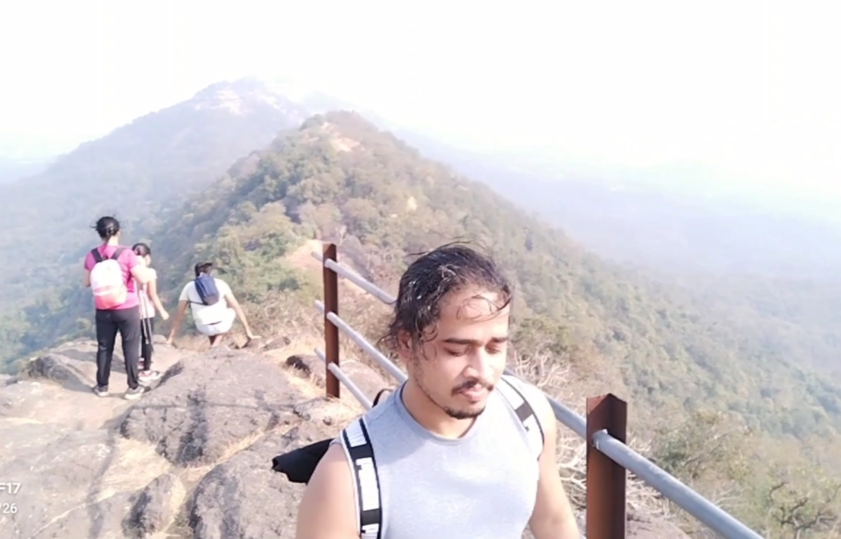
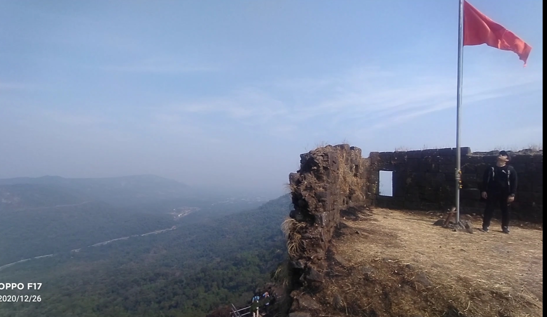
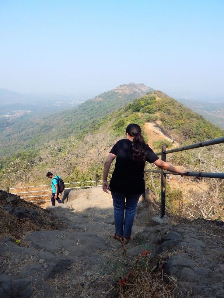
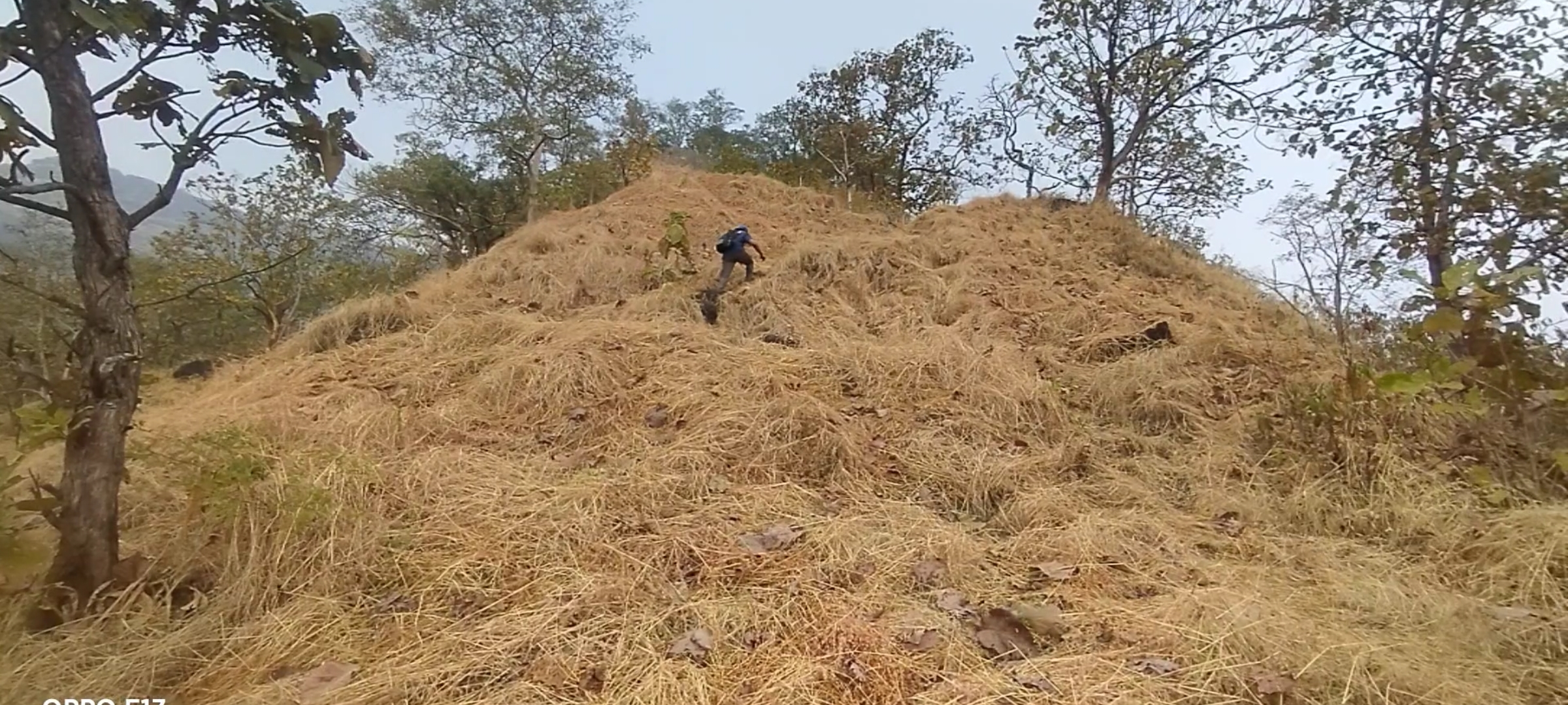
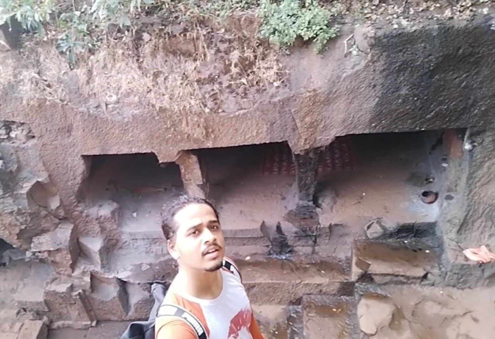
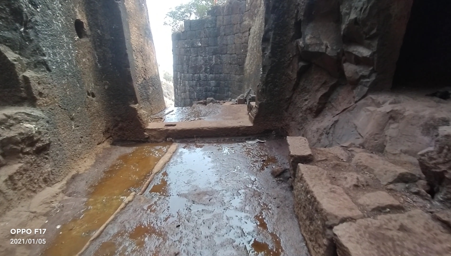
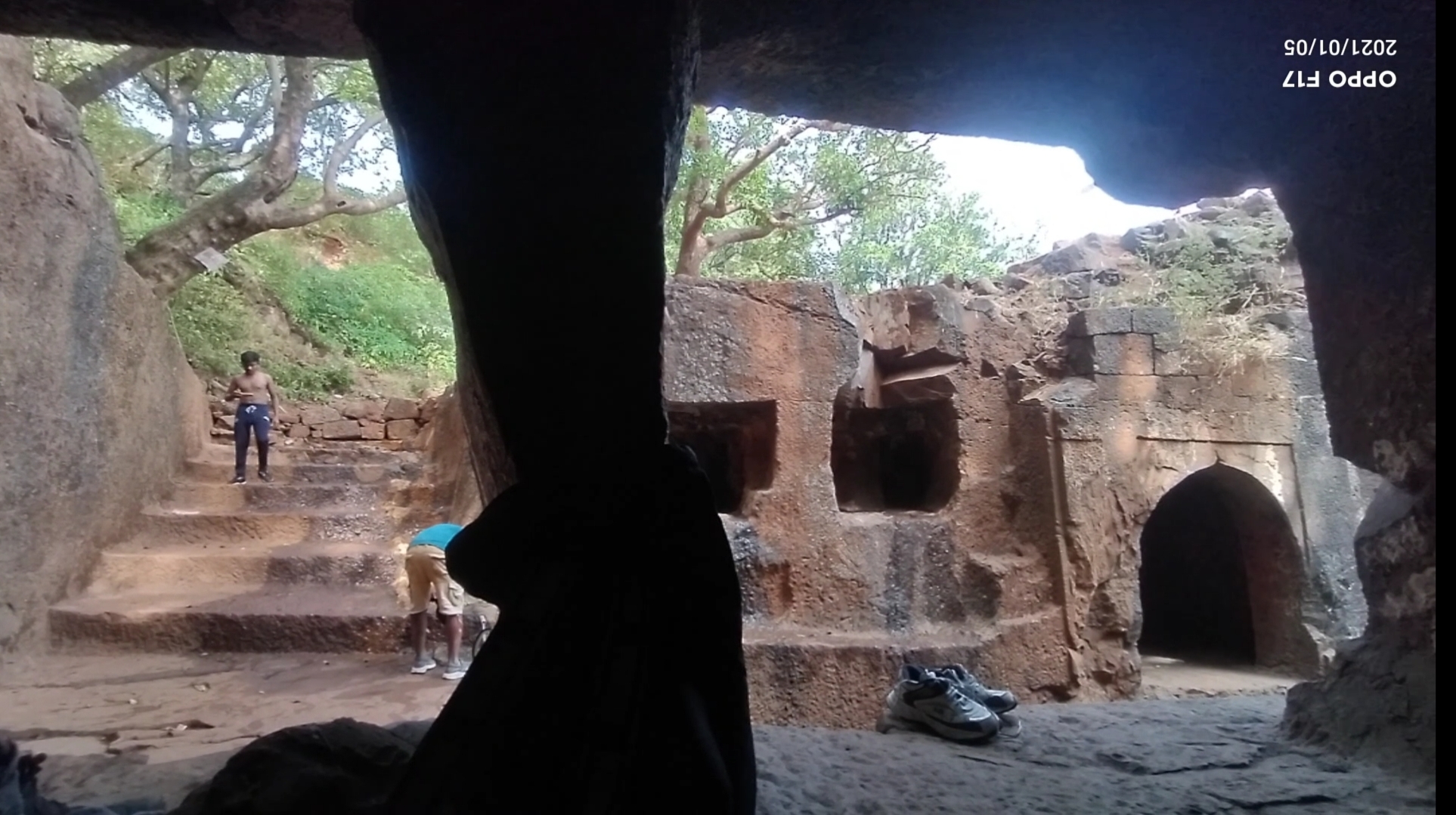
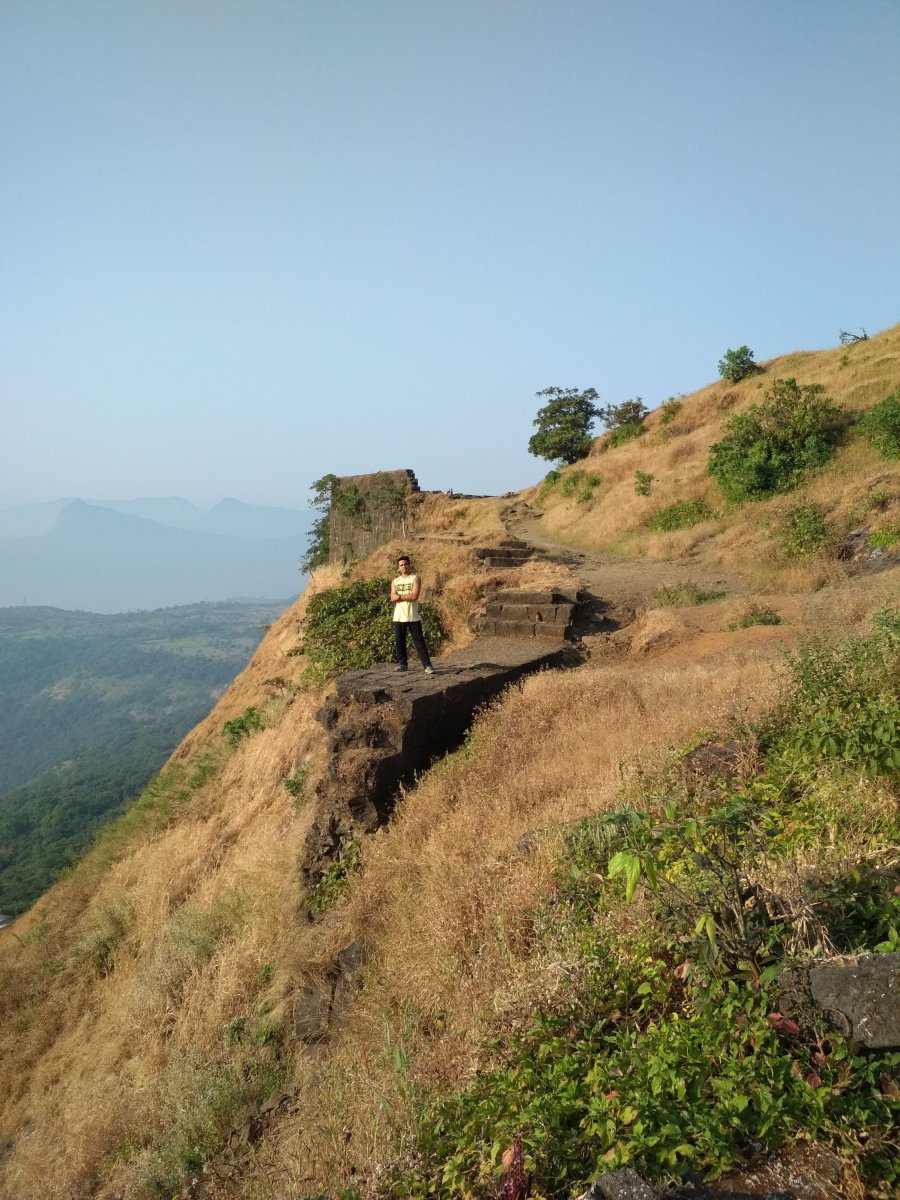
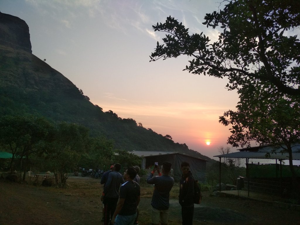
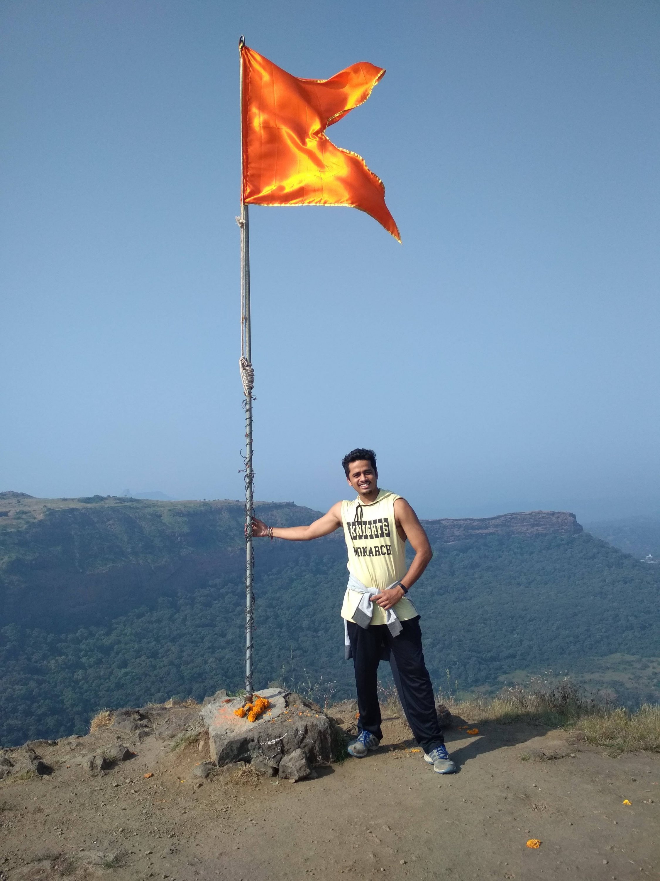
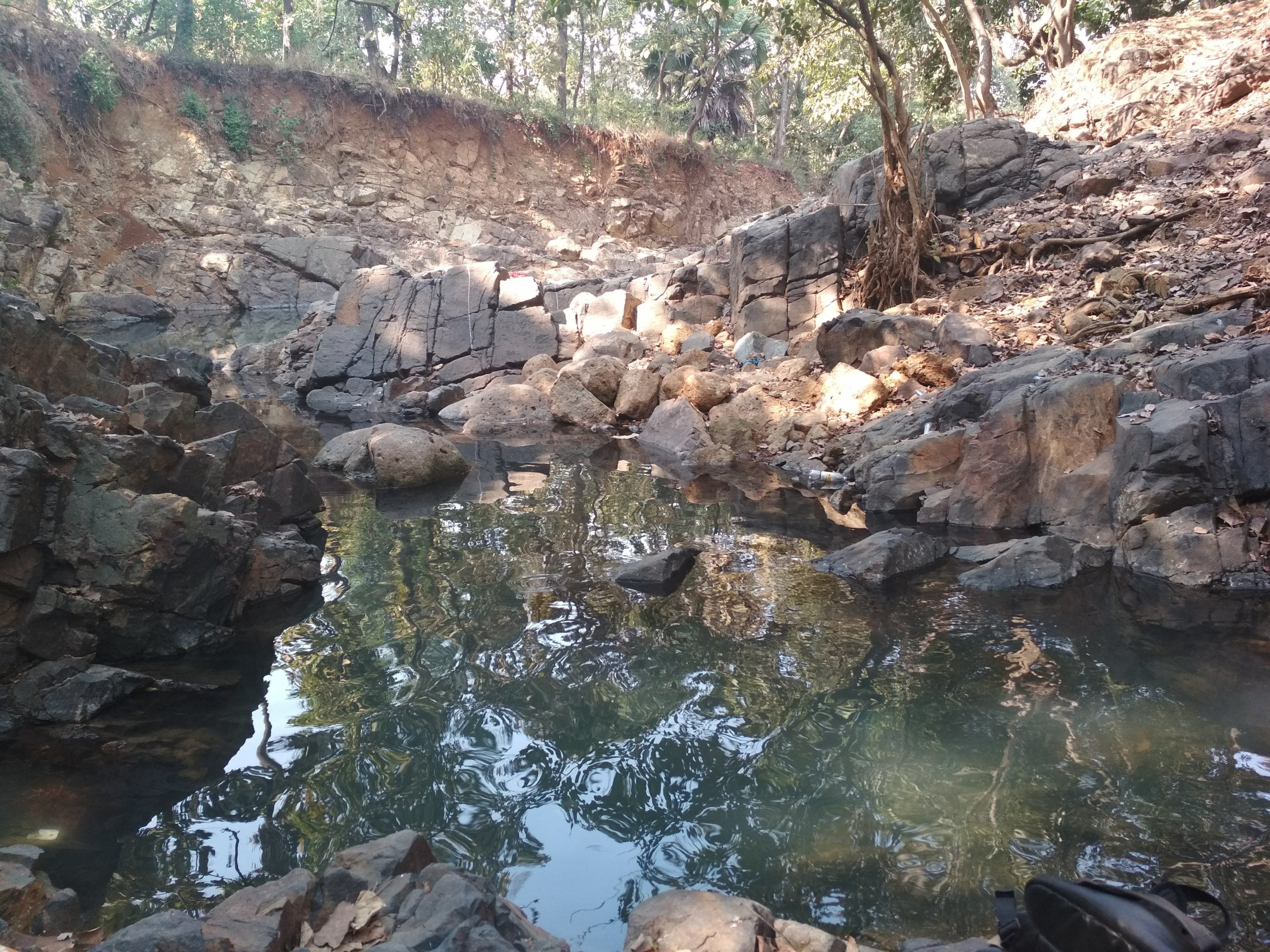
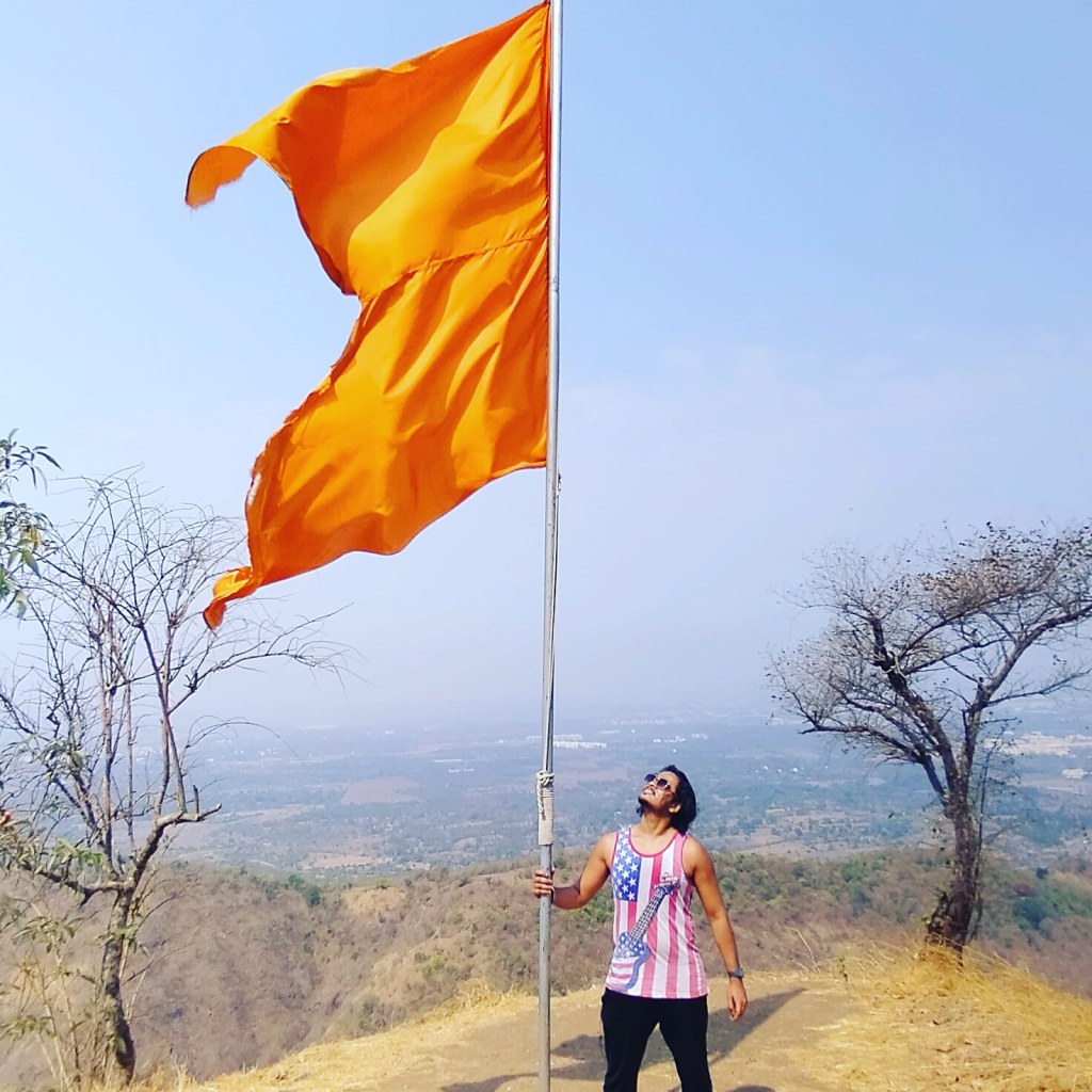
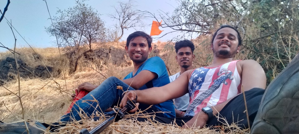
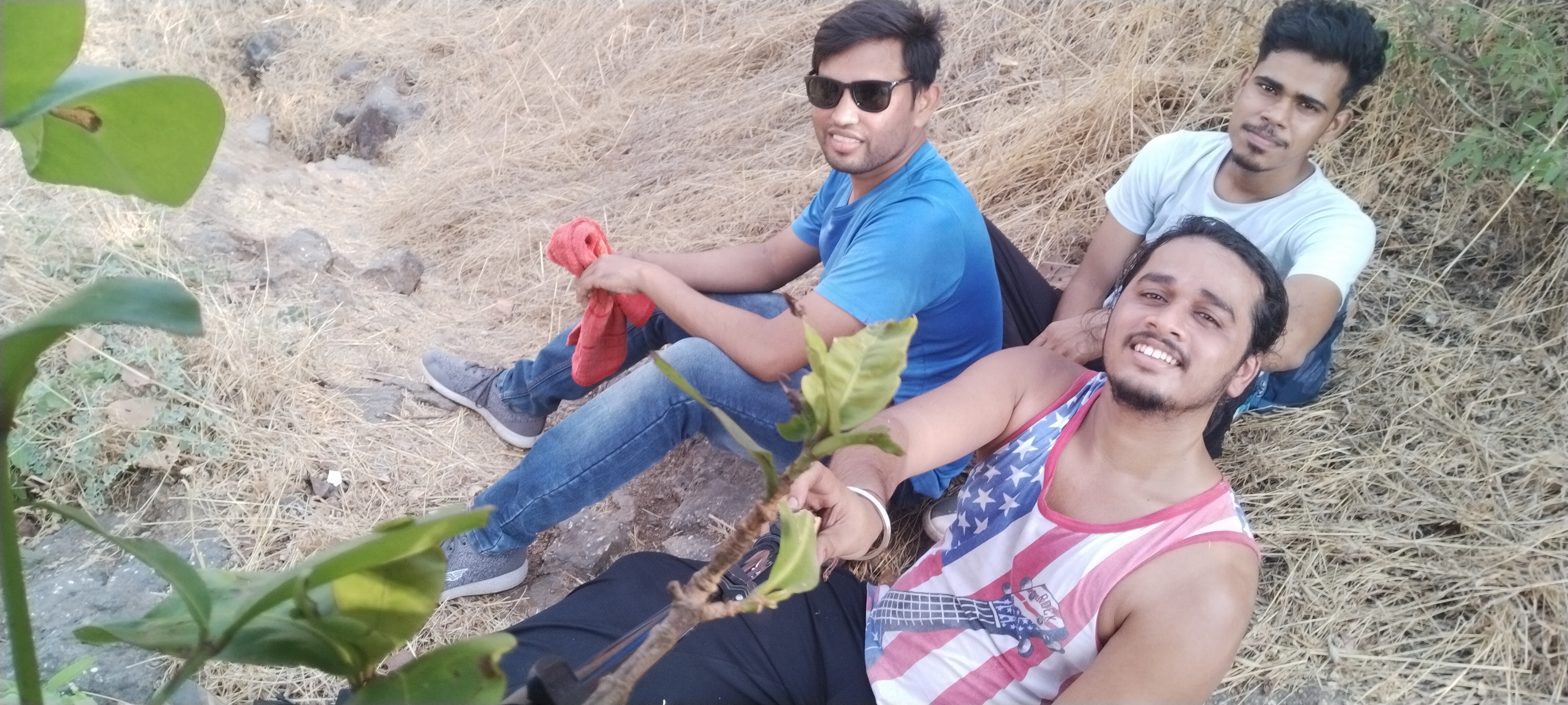
Me and my friends experienced a lot of humidity in the Climate, as i told you before there were no store in between the trail to buy water or snacks so i suggest to drink water sip by sip because the sweat i drained was incredible after 45mins of trekking my shirt was full of sweat so we decided to take our first break, i changed my shirt we had some non oily snacks and drank water our break last for 20 min which was a big one, now there was only on mountain to climb and this was the steepest one with slippery rocky way as i told you before, time comes when the climb becomes so hard that you lose self motivation and think of quiting the trek but you have to believe in yourself and keep trying look at th top the saffron colored flag and imagine yourself at that same place holding flag this thinking will energize your mind and allow the body to move forward, still 45 min still to climb after taking break, this time we found two local people climbing the fort as we were moving forward, as it was the occasion of Mahashivratri so they were going for worshiping Shiva Temple at the fort. They told us some interesting facts about the fort and some special places to Visit like the cave and the water stream which is 365 days of supply fresh chilling water as compare to us they lot more experienced in Climbing mountains because they were 15 to 20 years elder then us, i have always noticed that the final 100 steps remaining are the tougher steps to Climb.
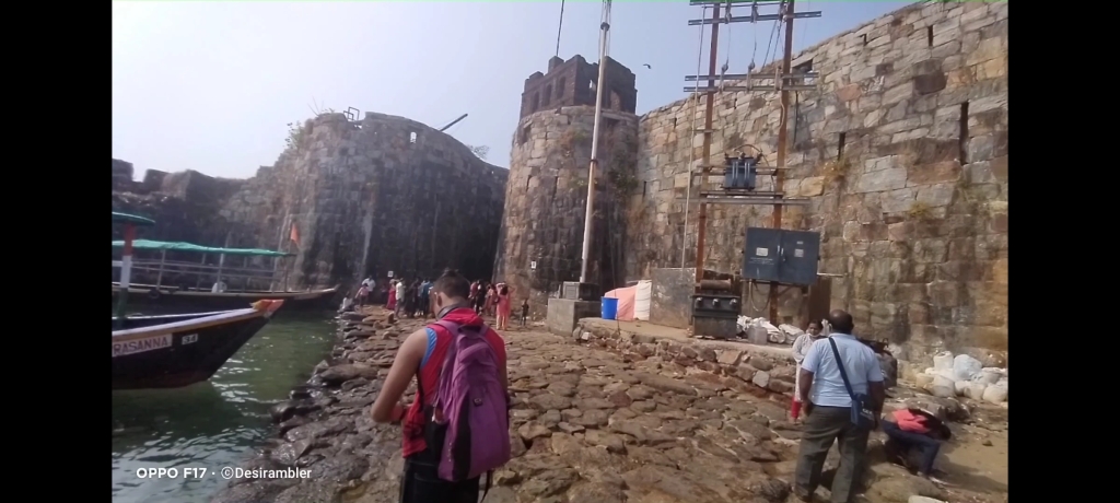
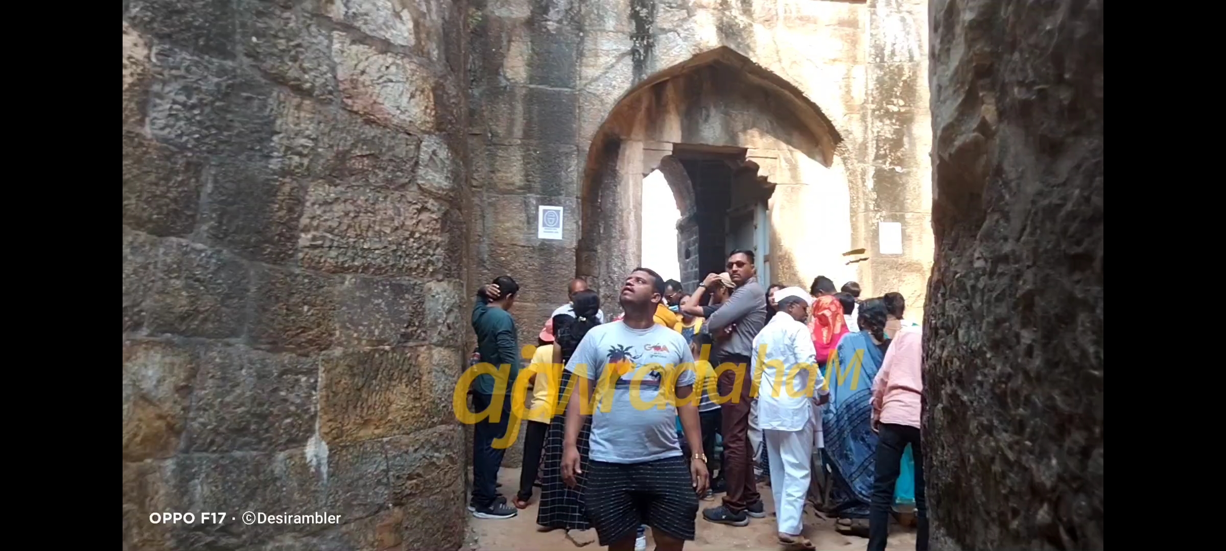
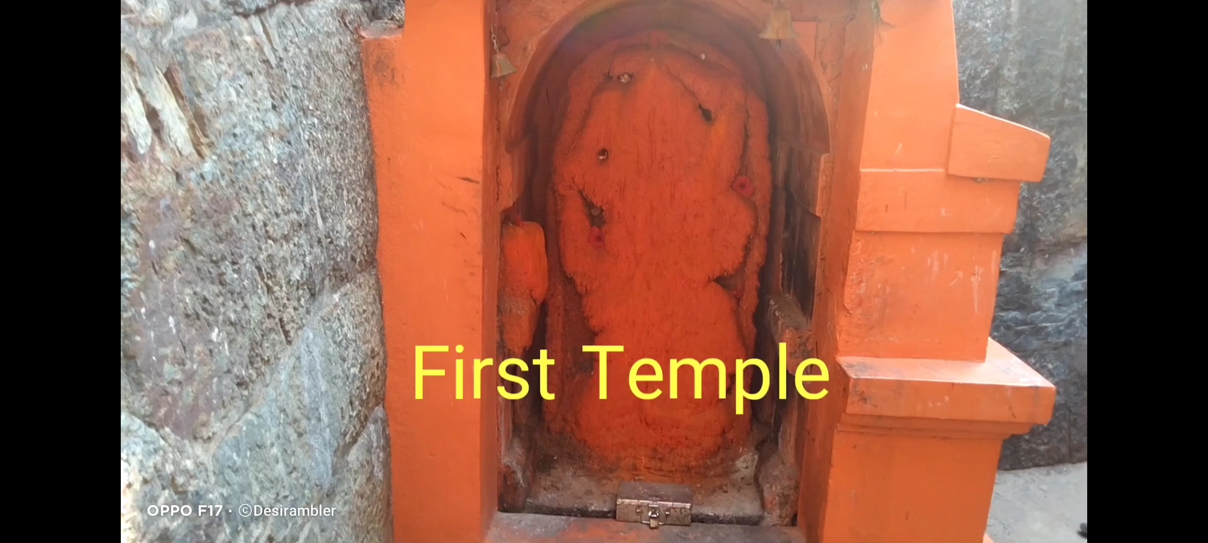
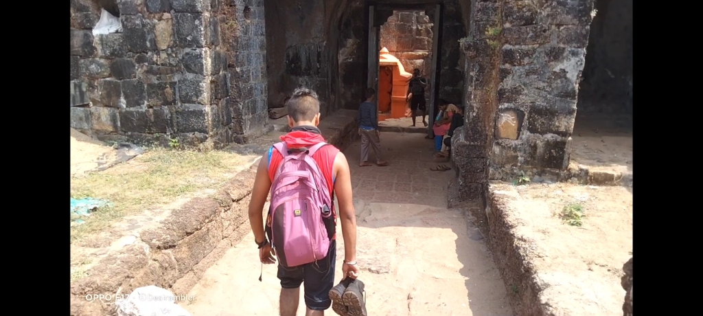
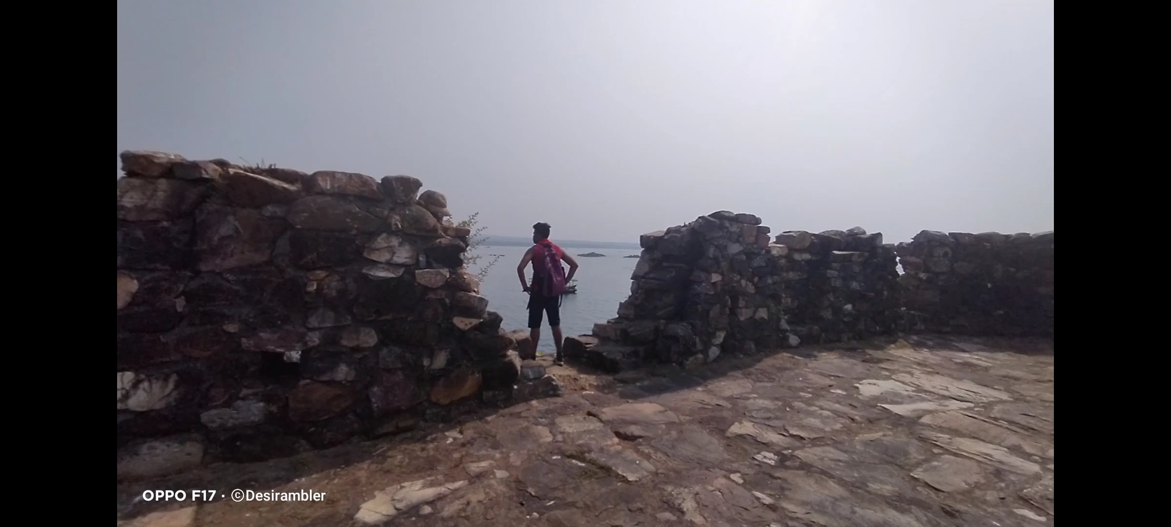
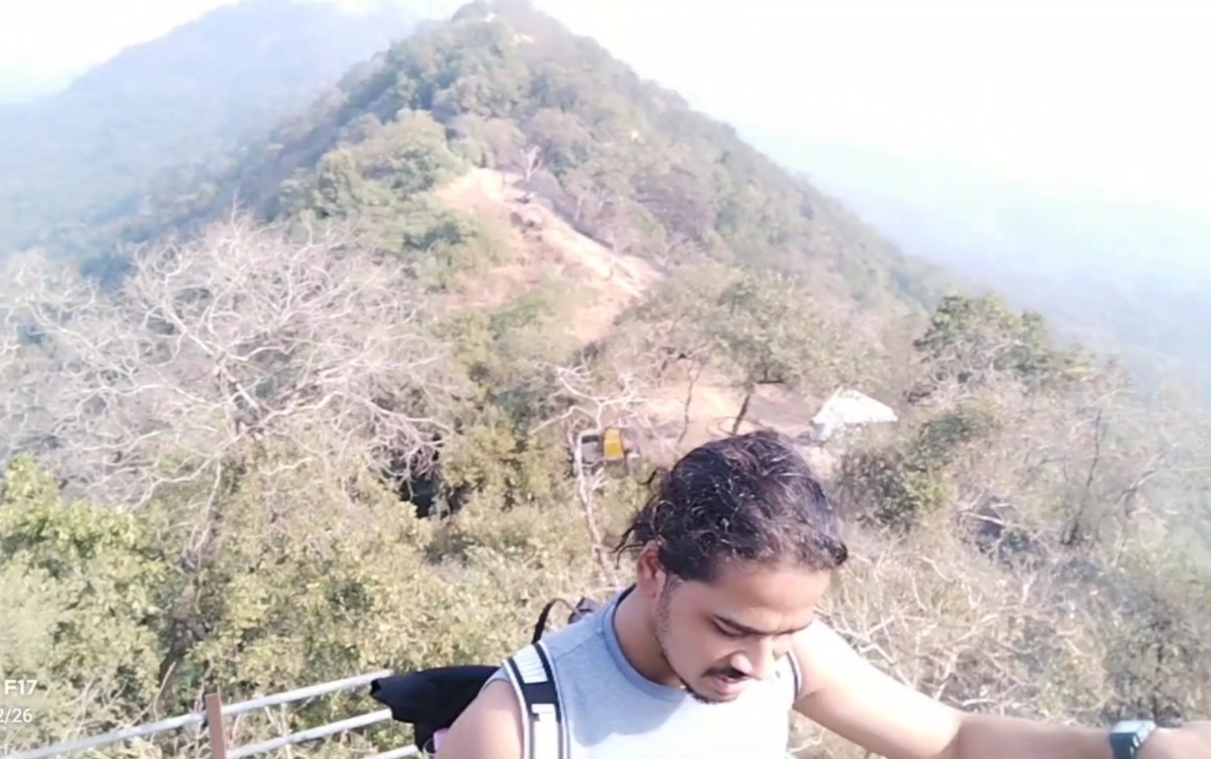
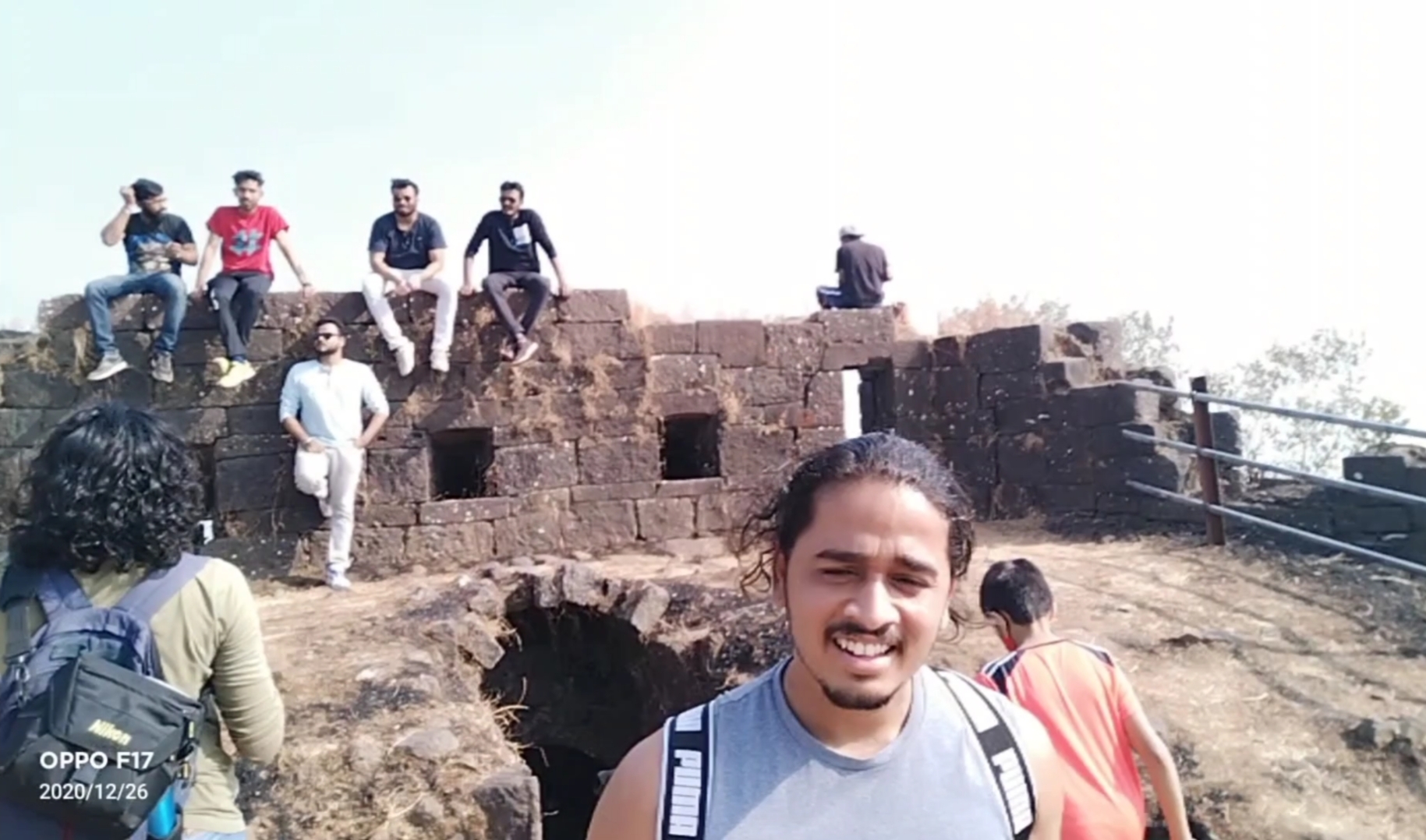
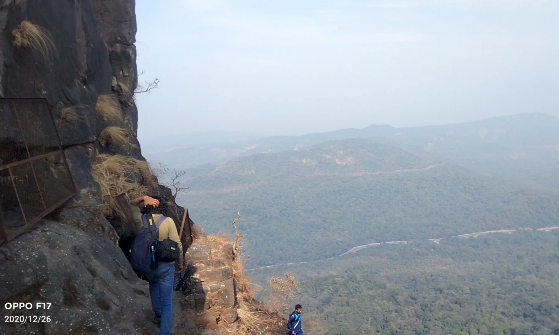
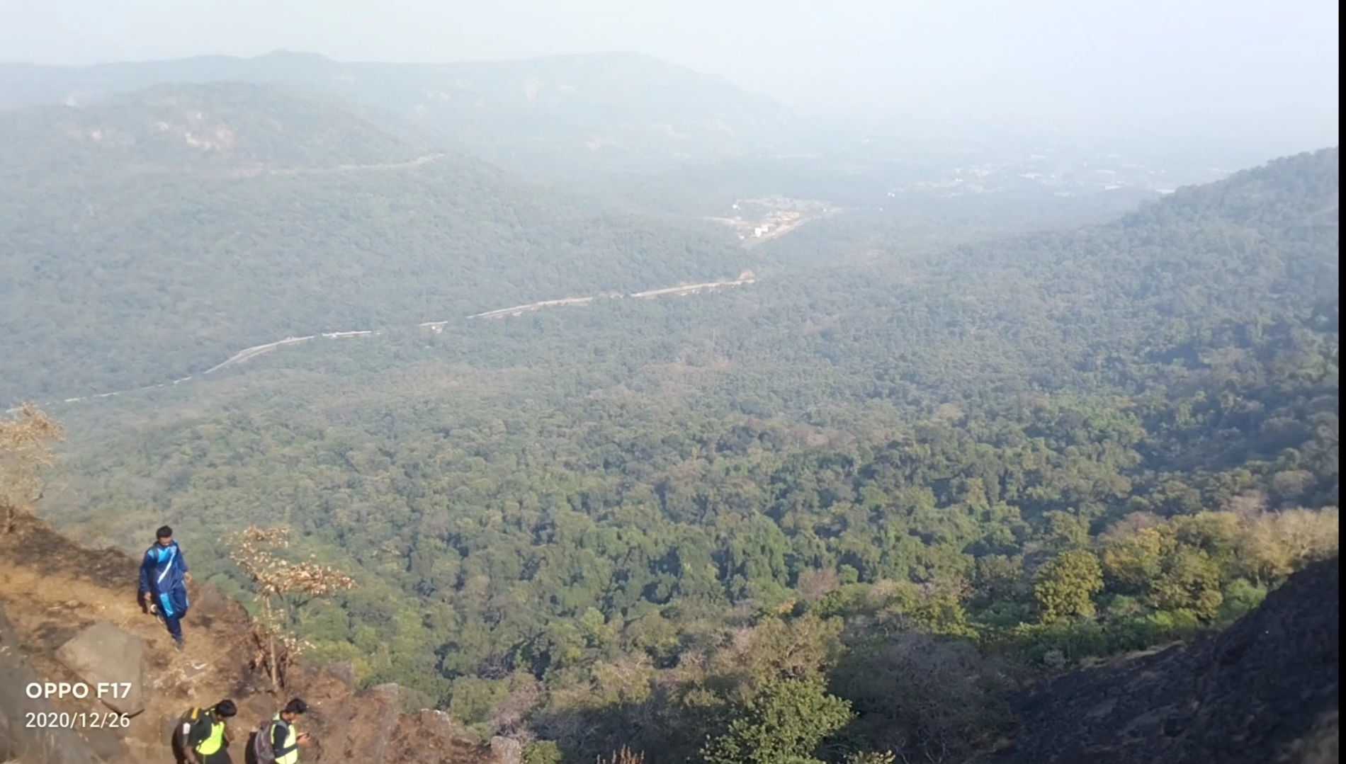
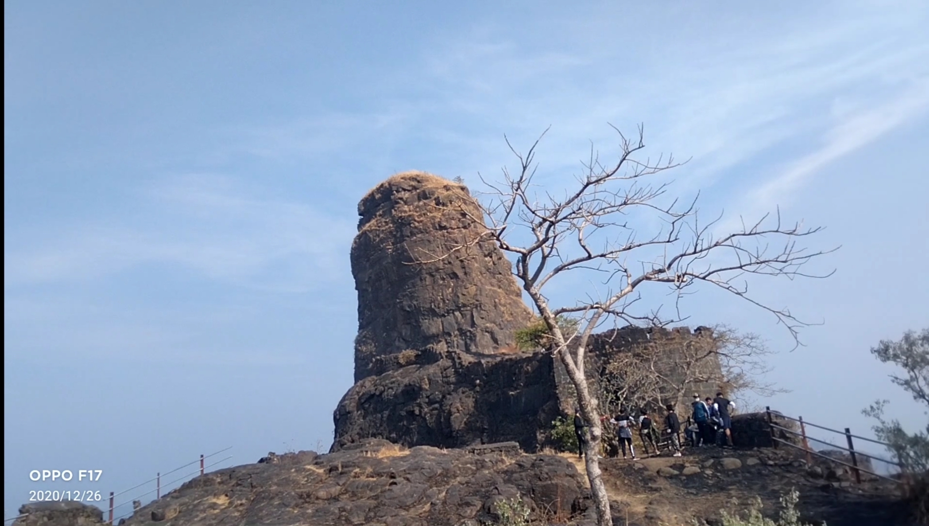
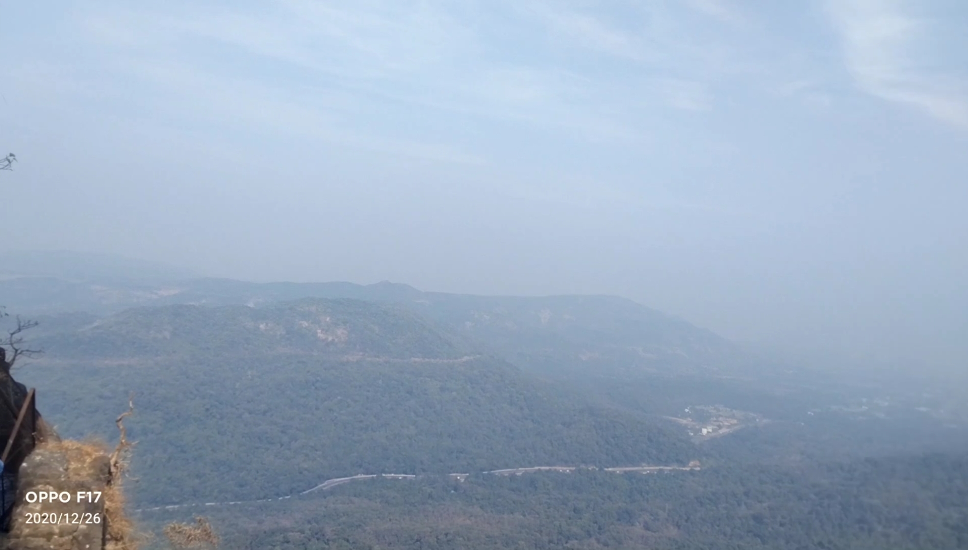
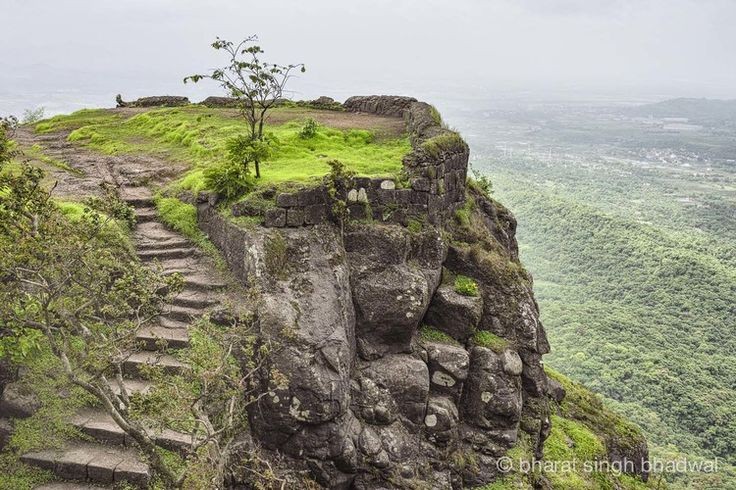
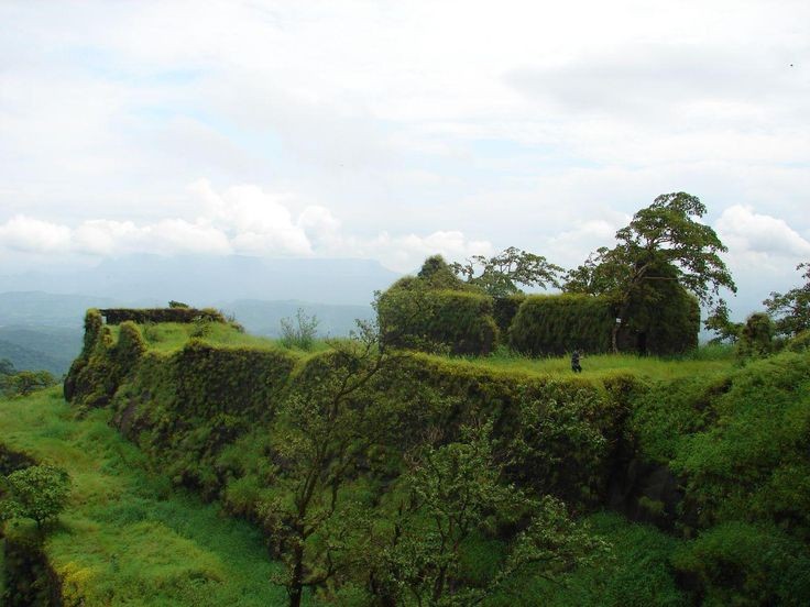
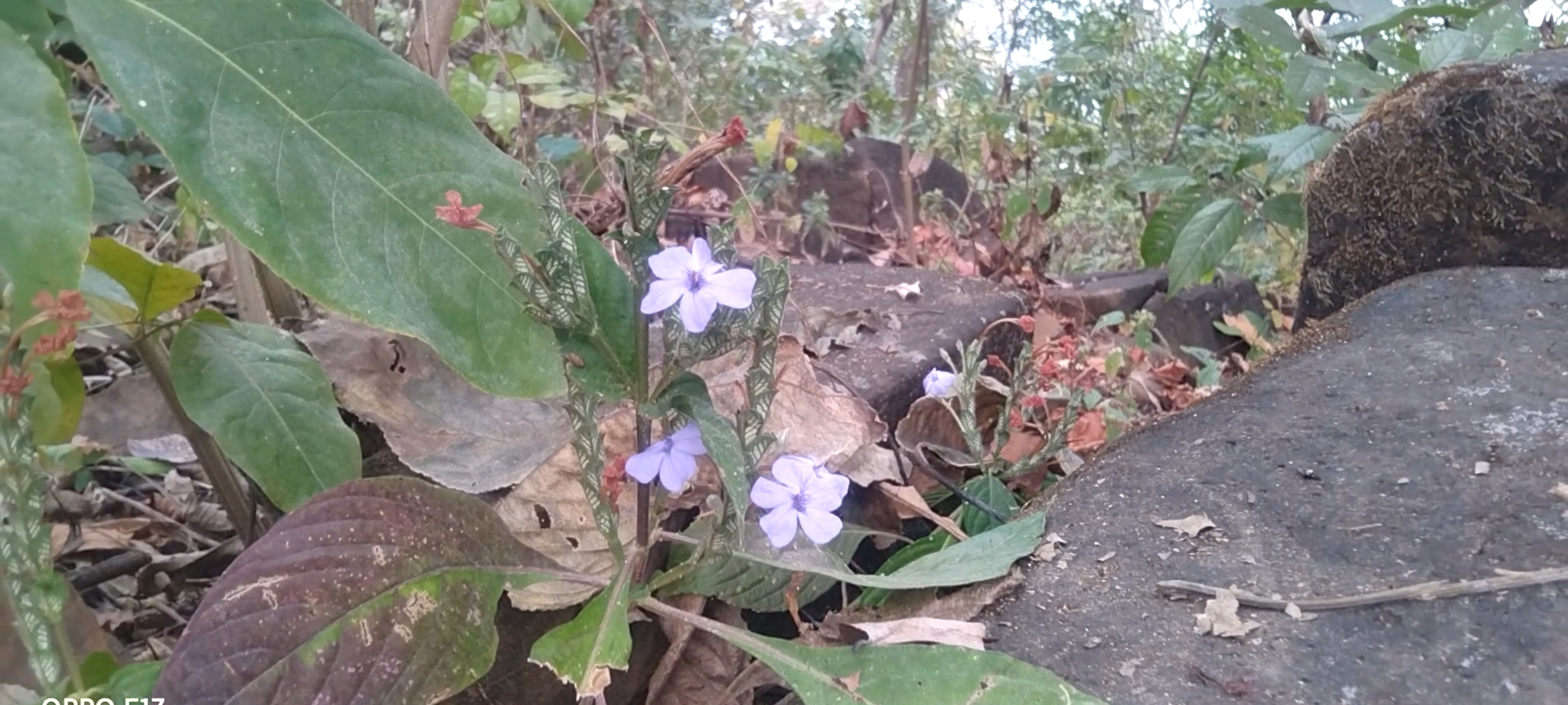
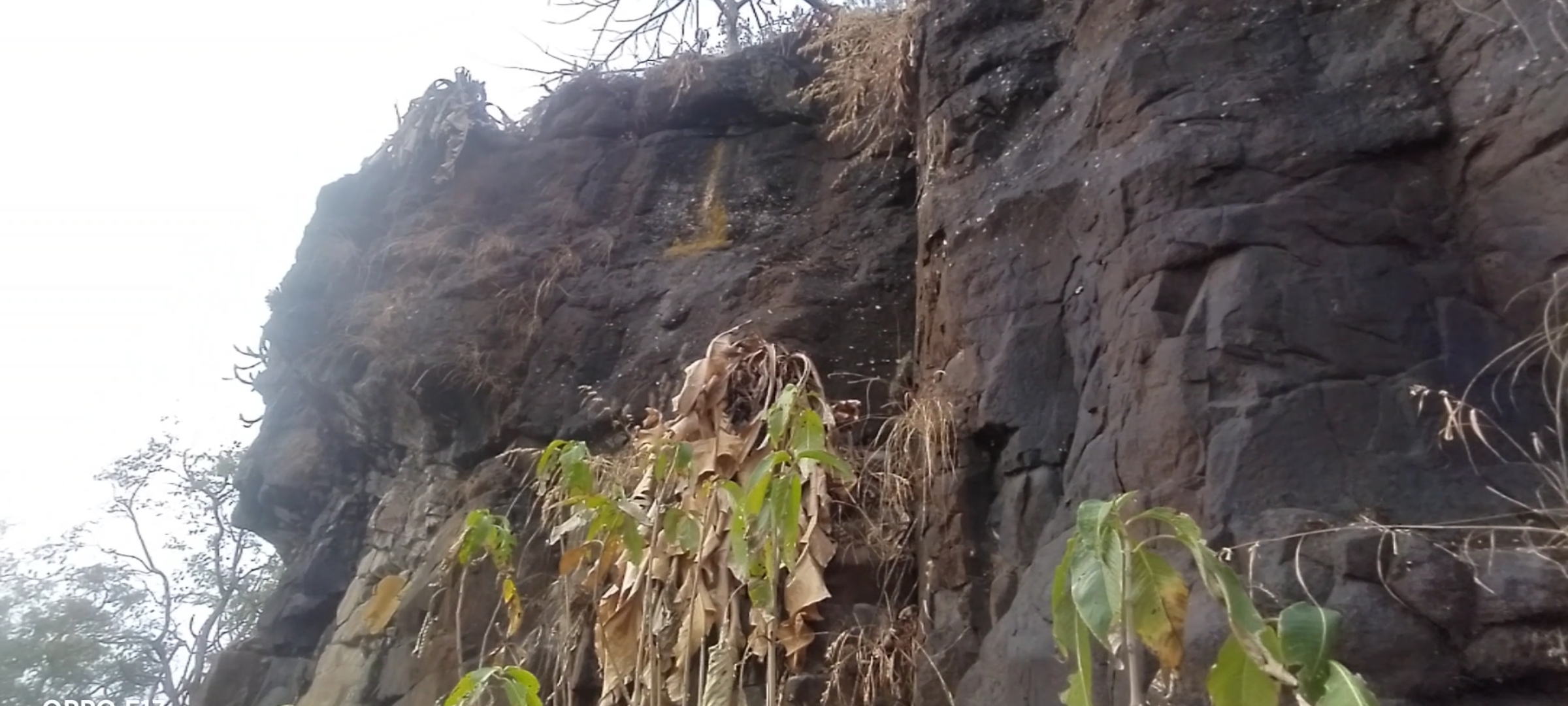
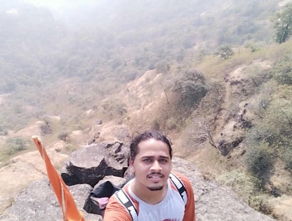
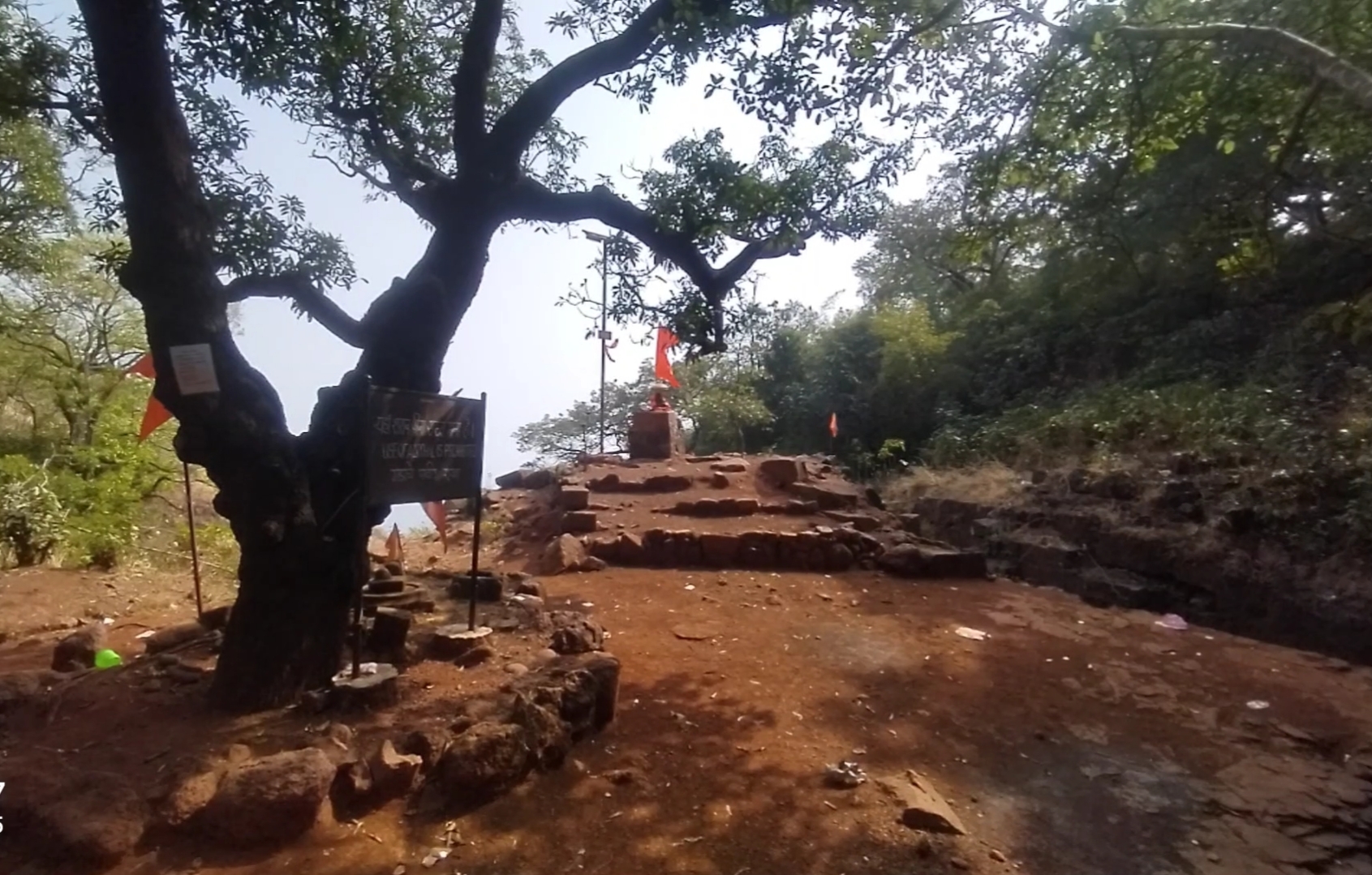
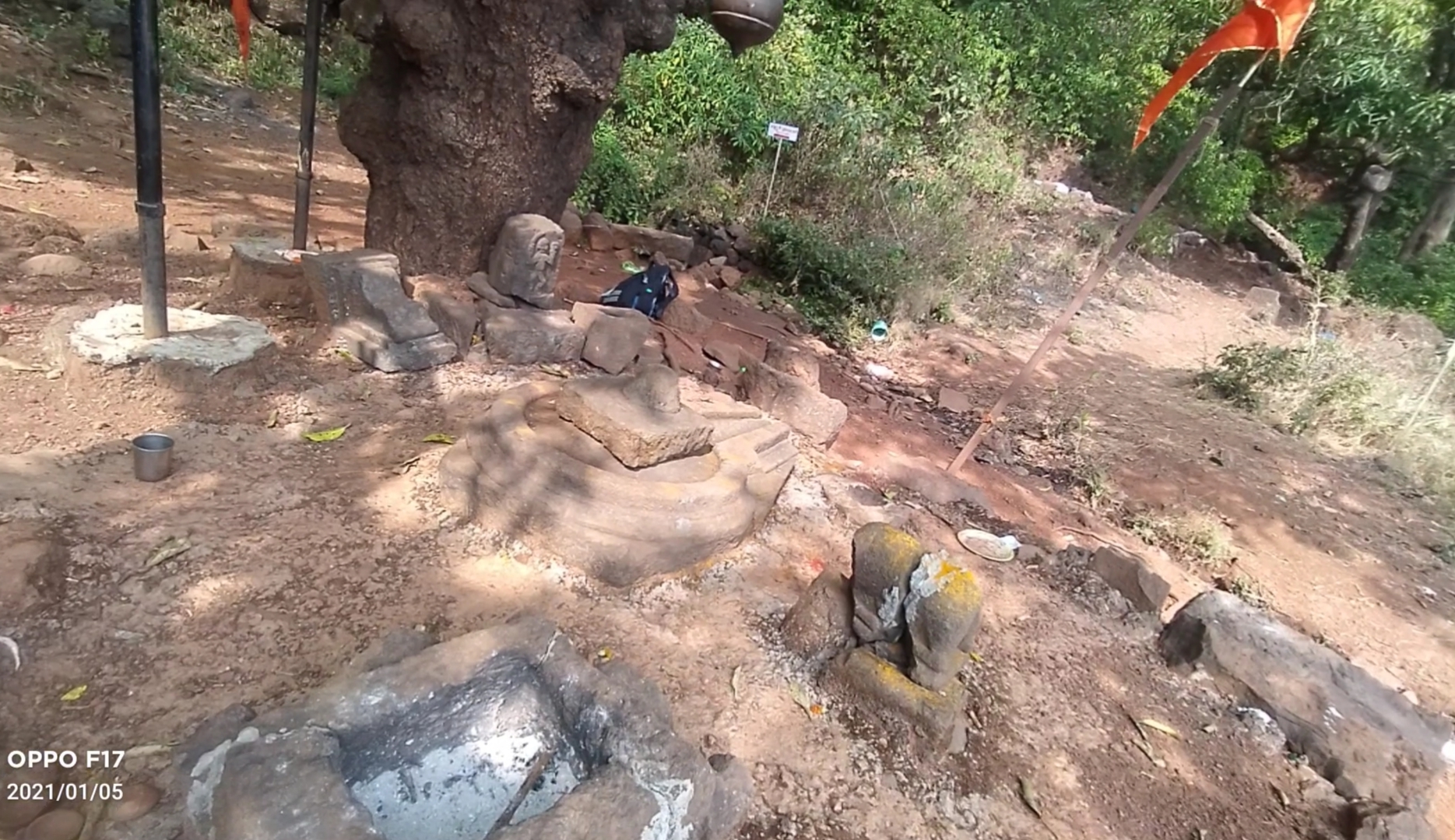
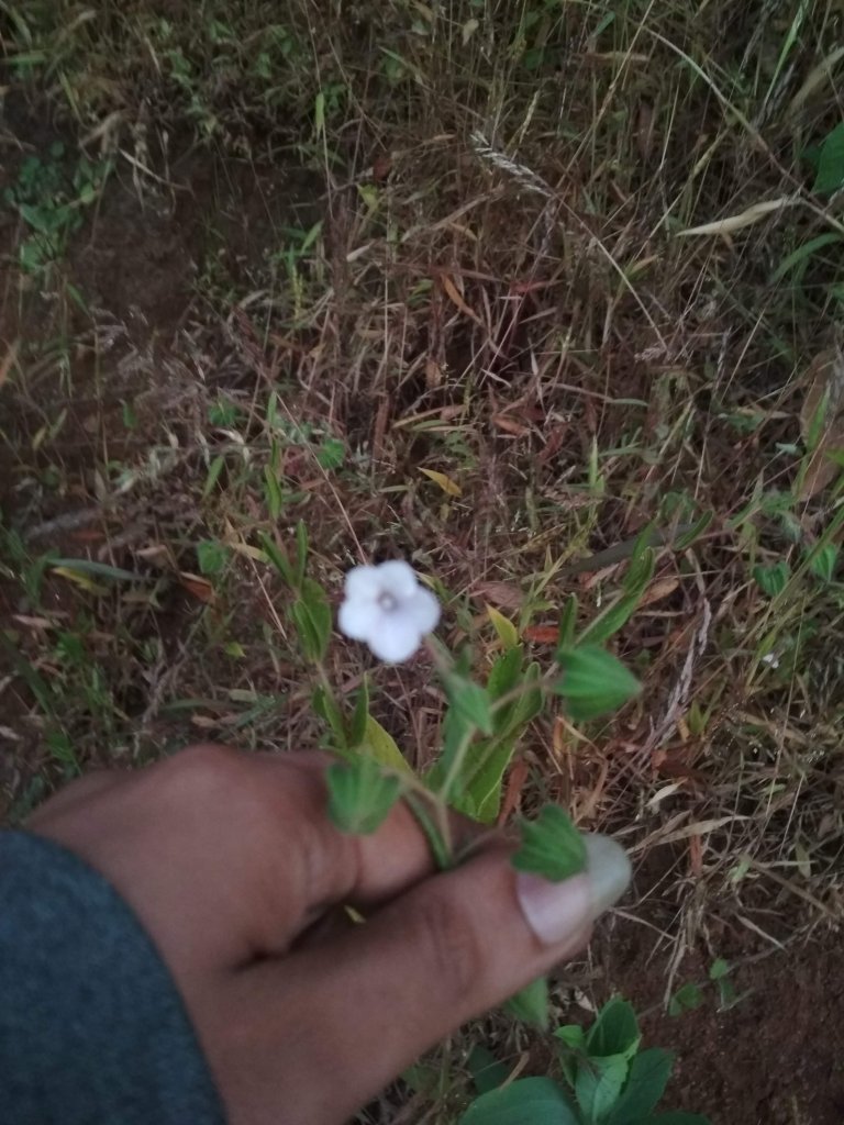
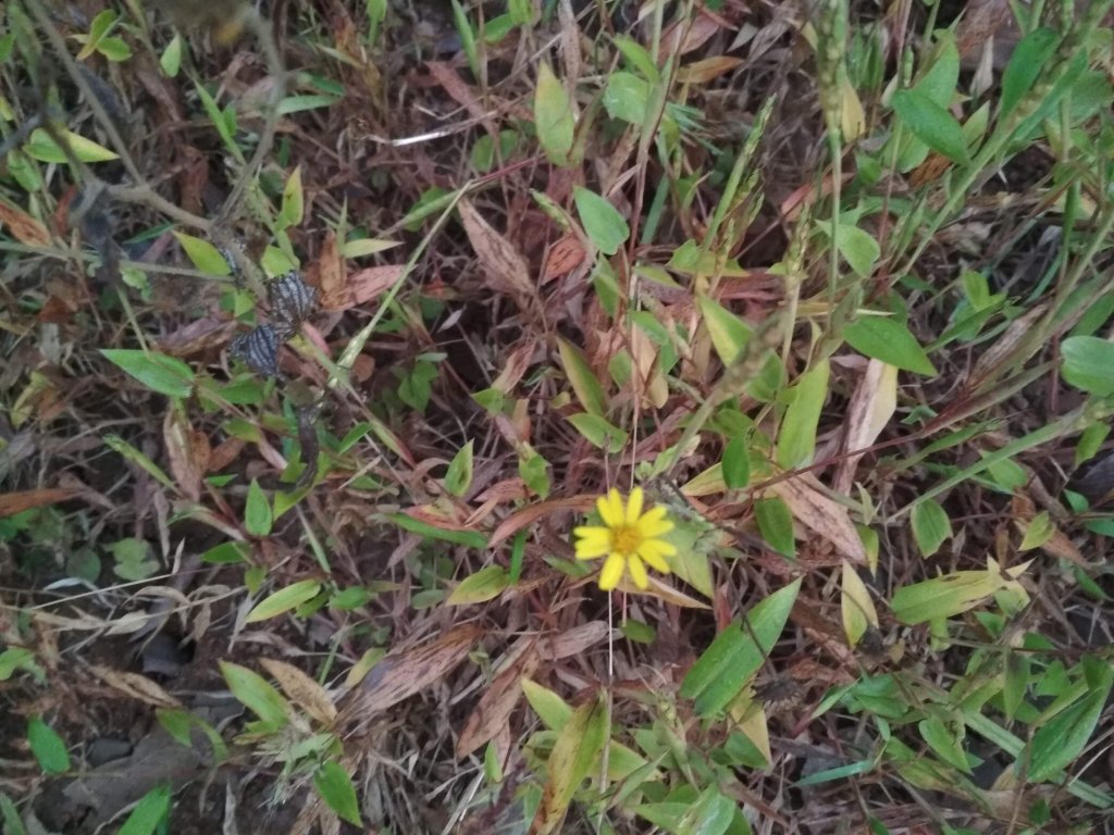
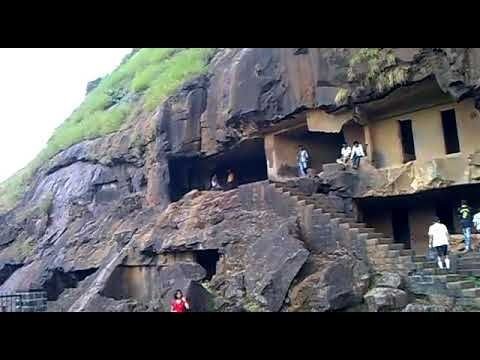
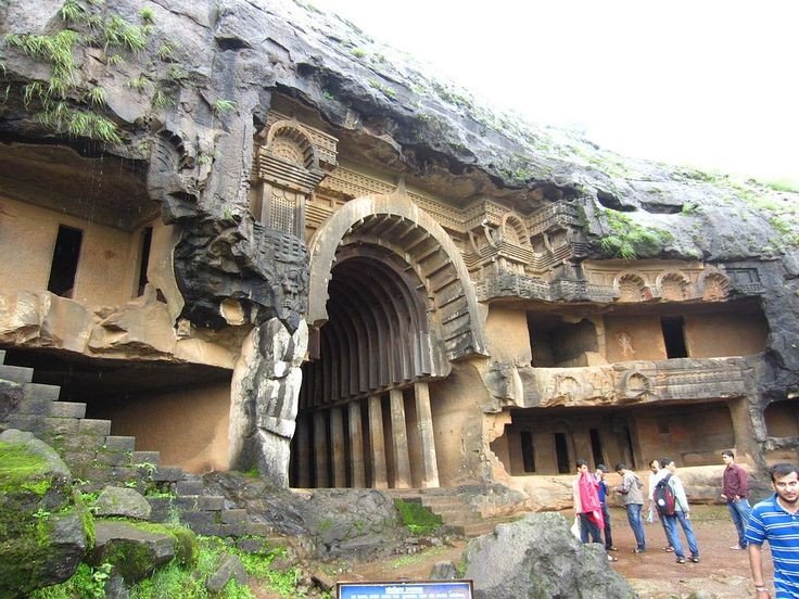
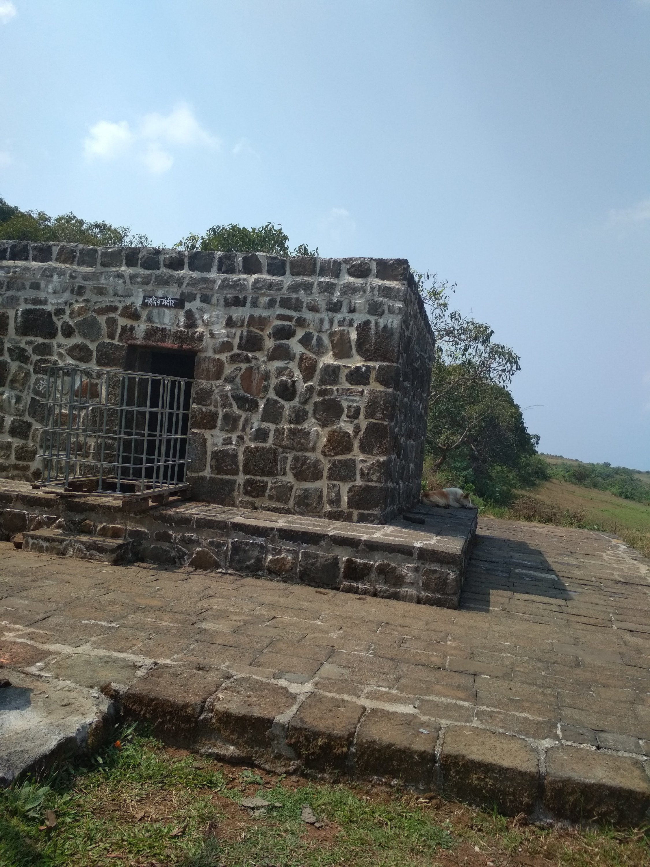
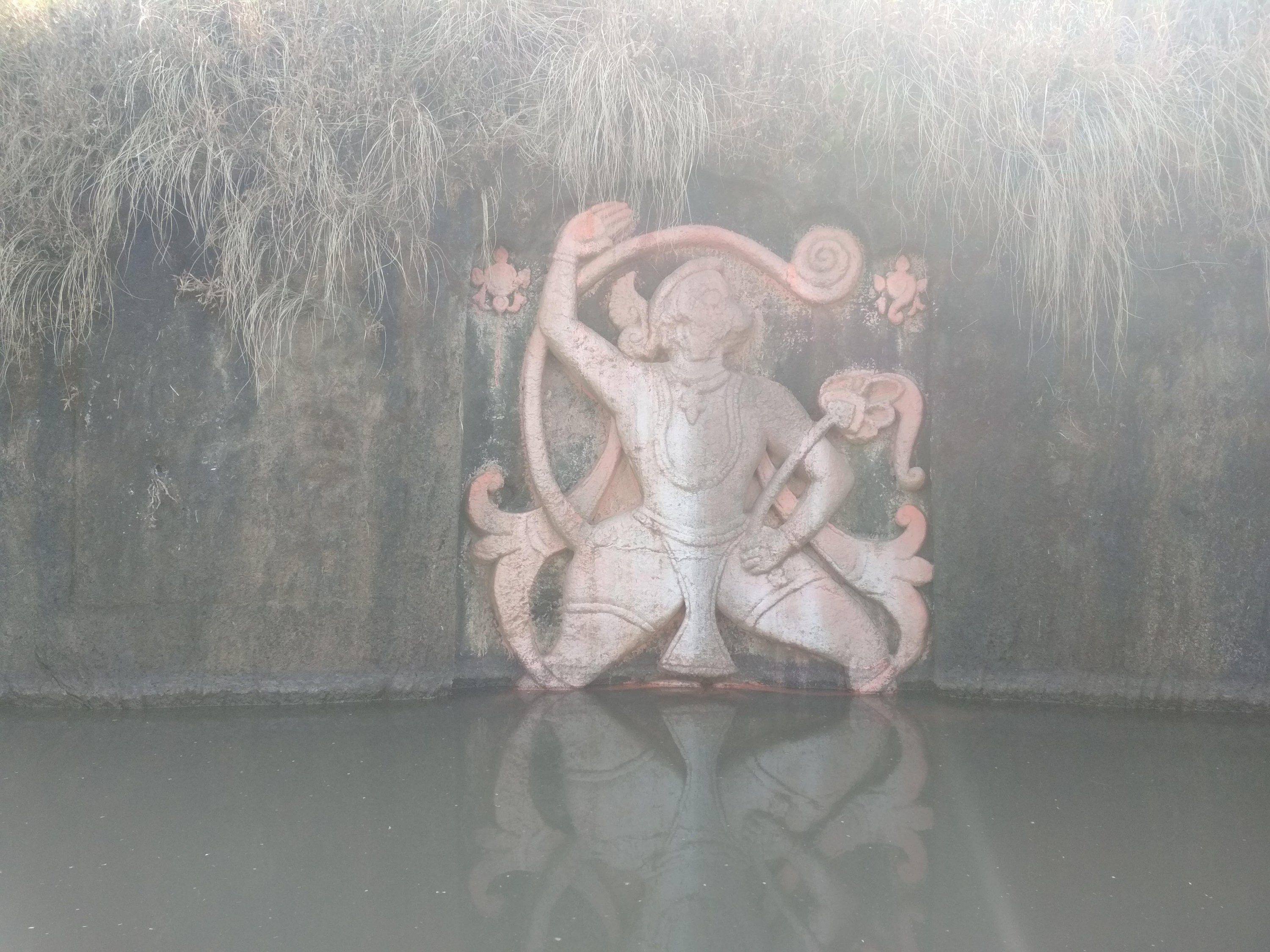
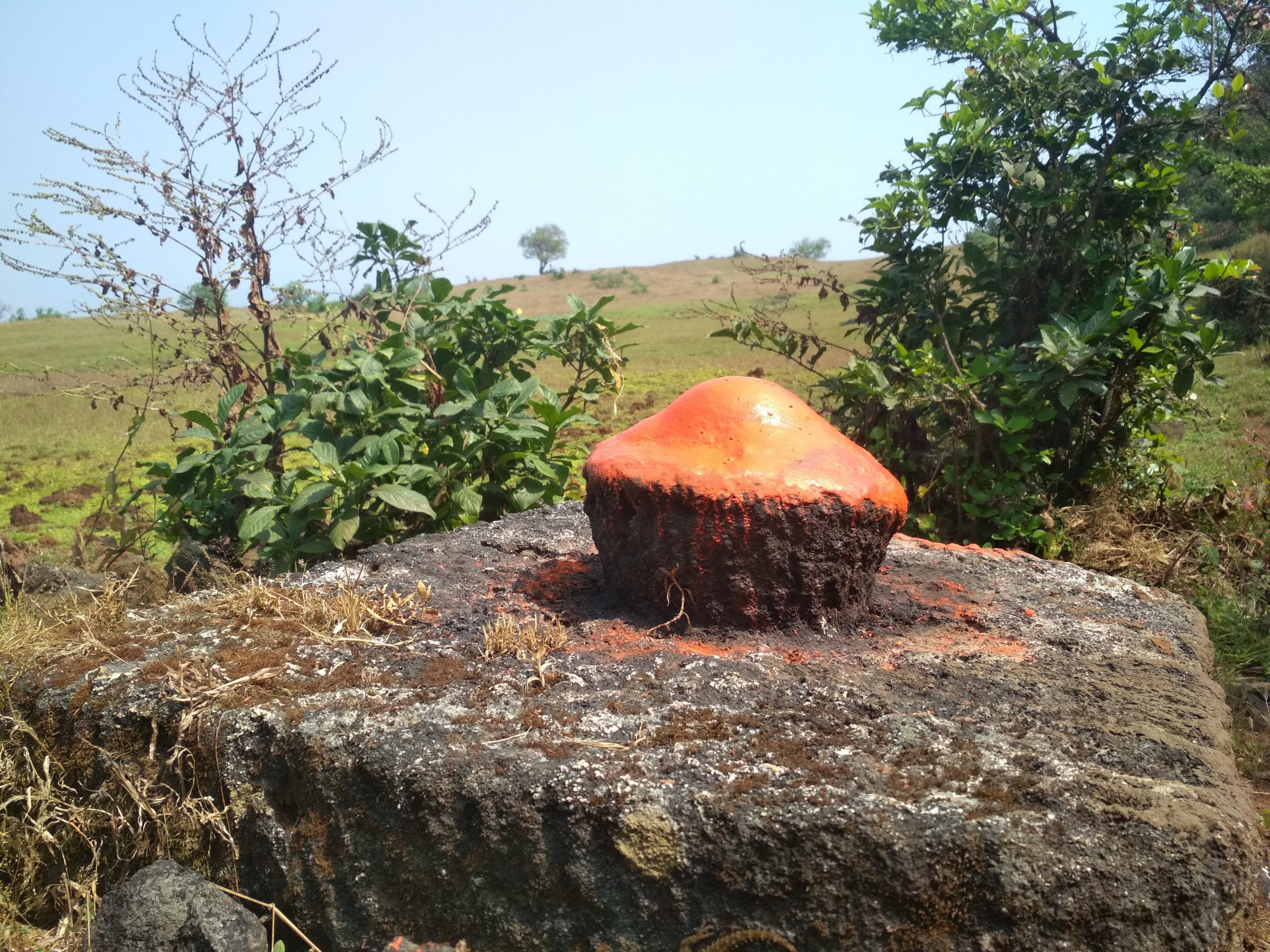
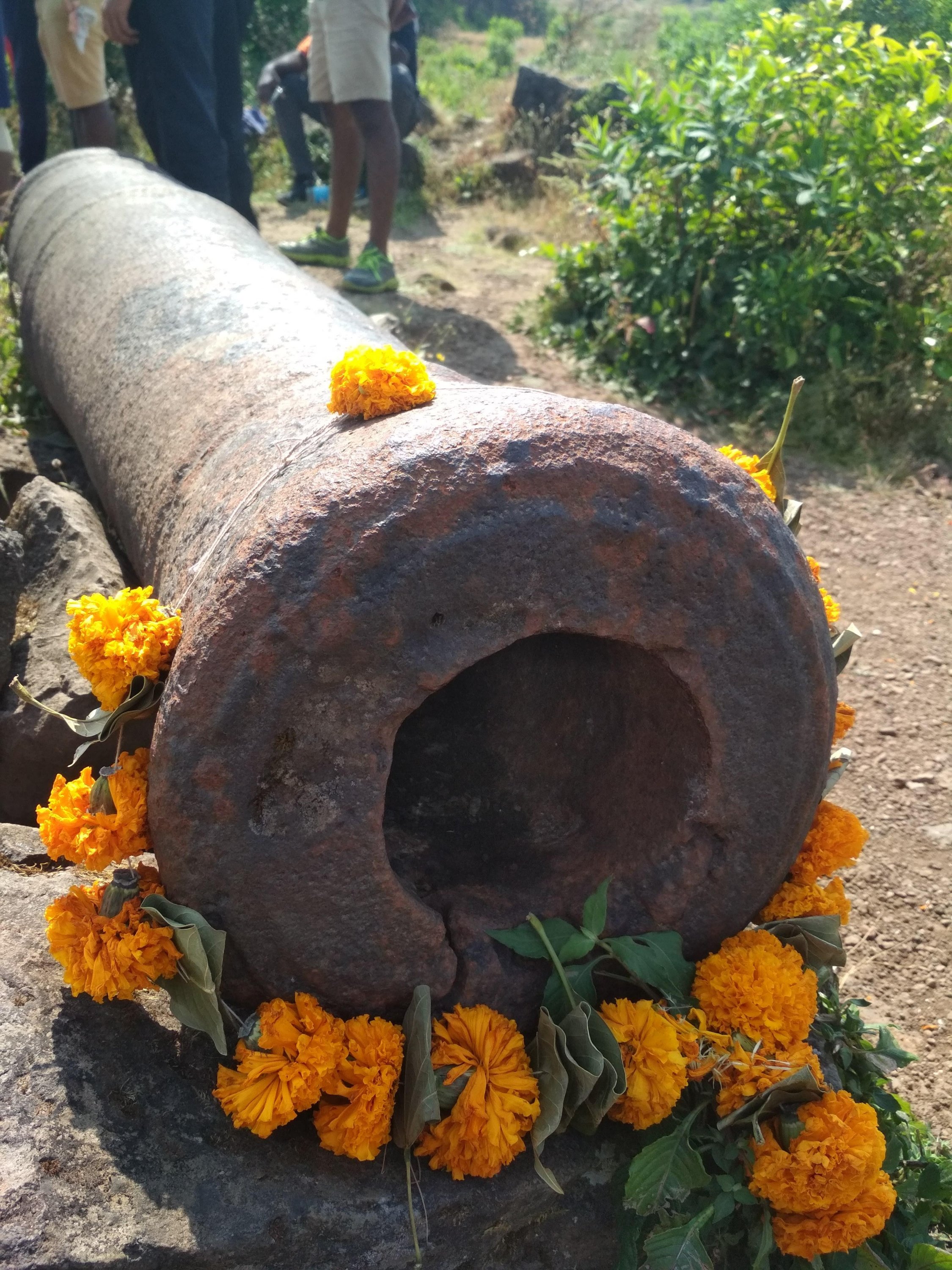
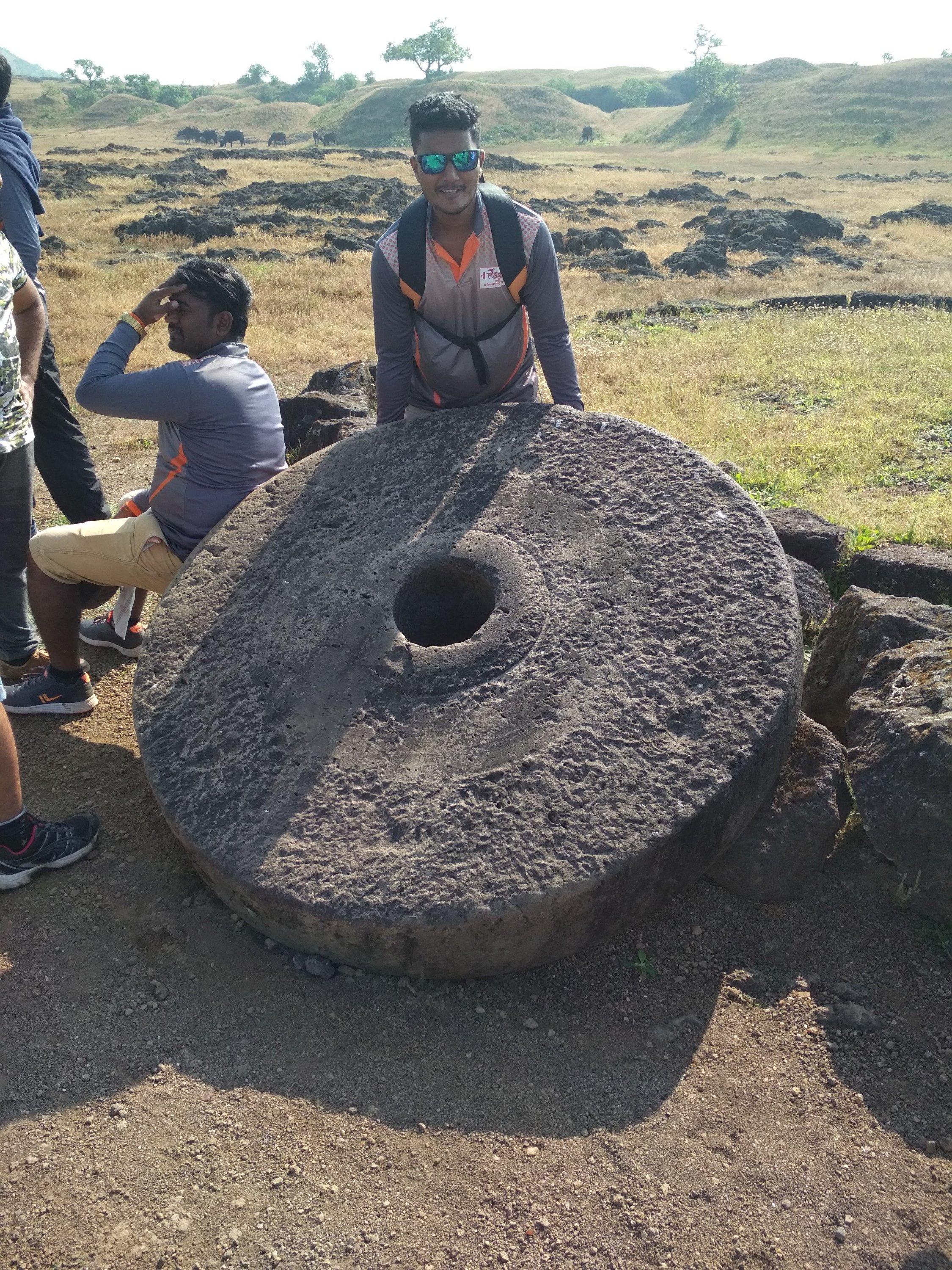
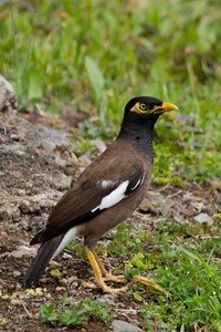
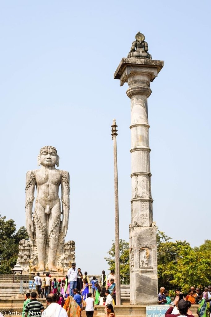
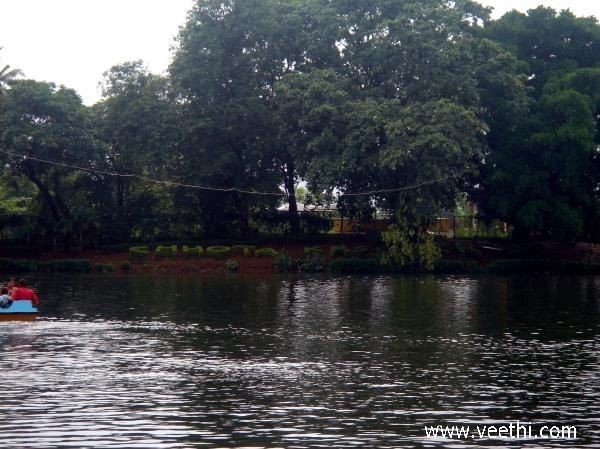
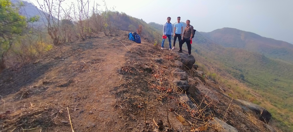
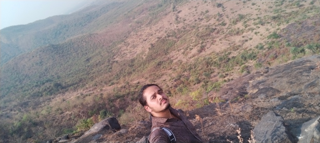
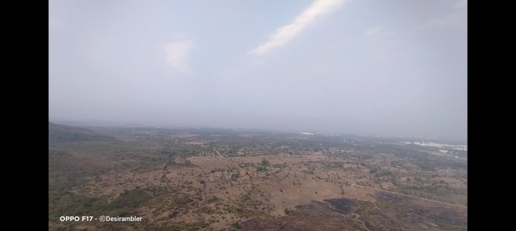
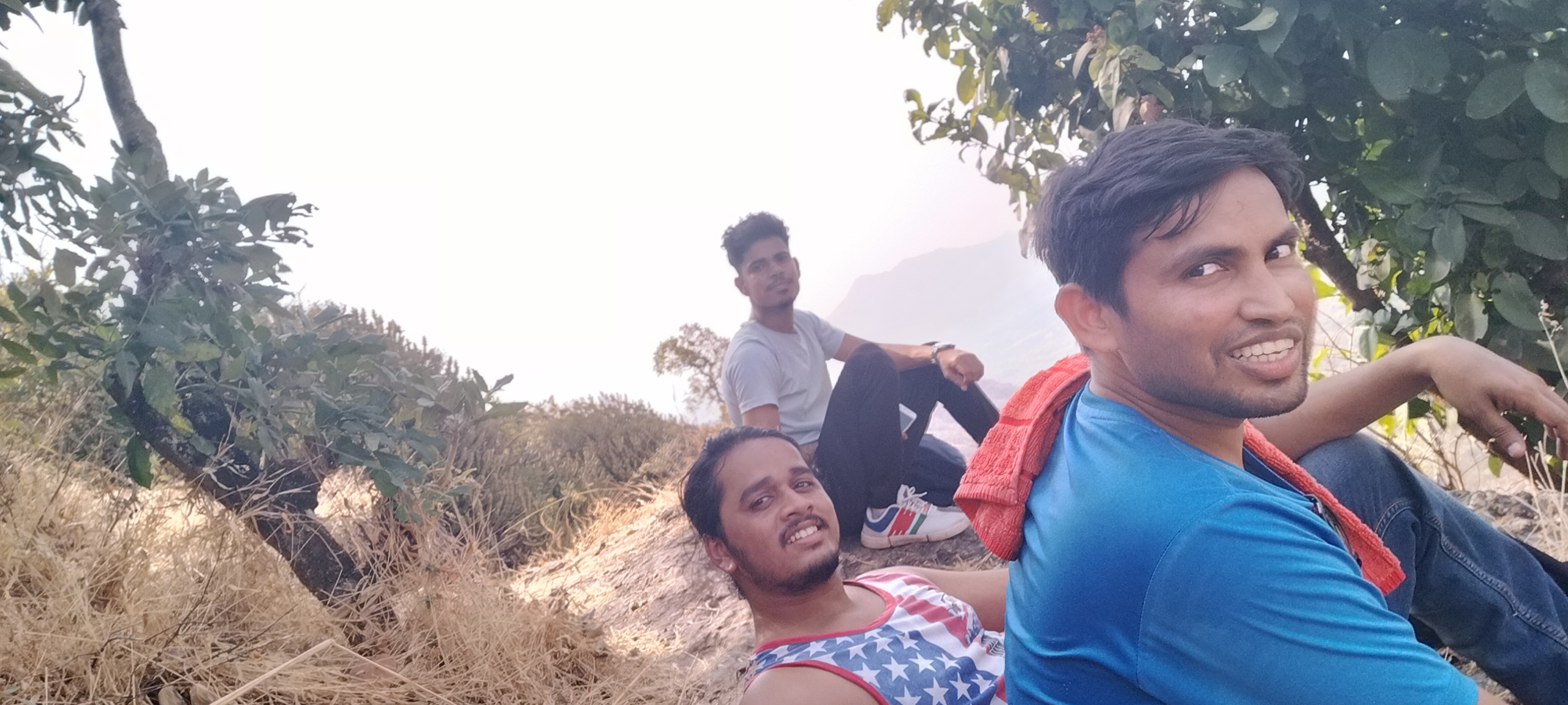
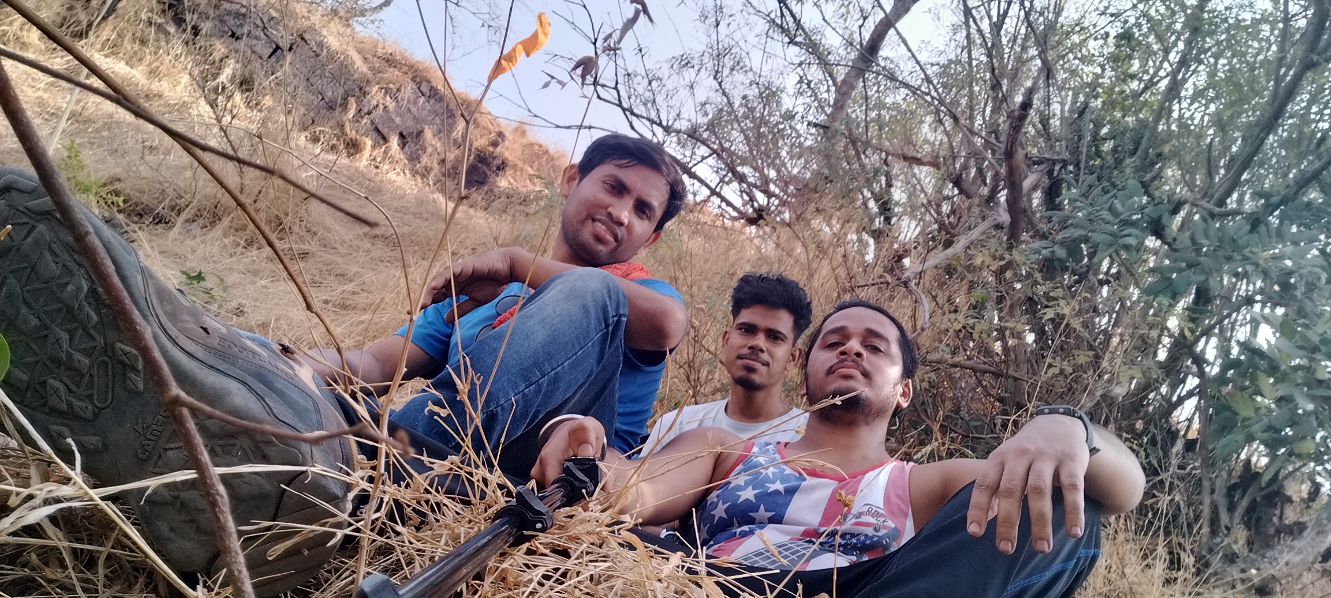
Below are the few pics clicked inside the fort
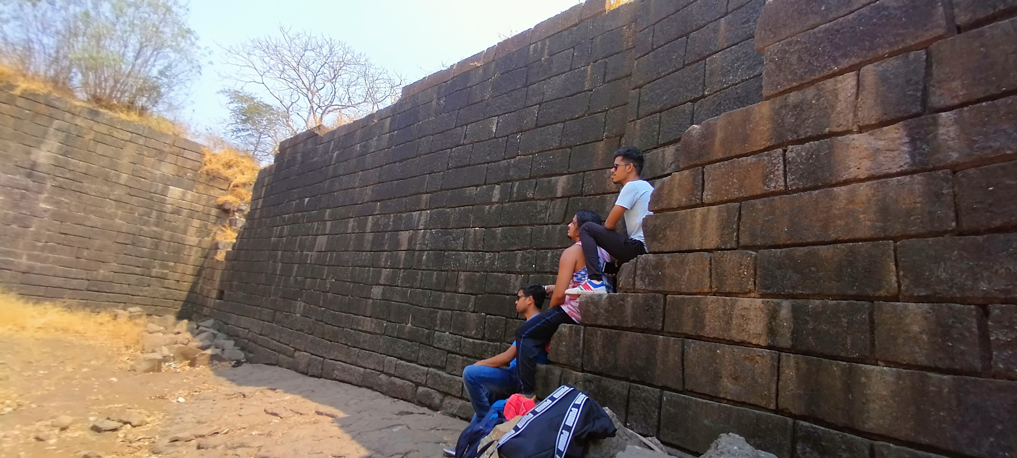
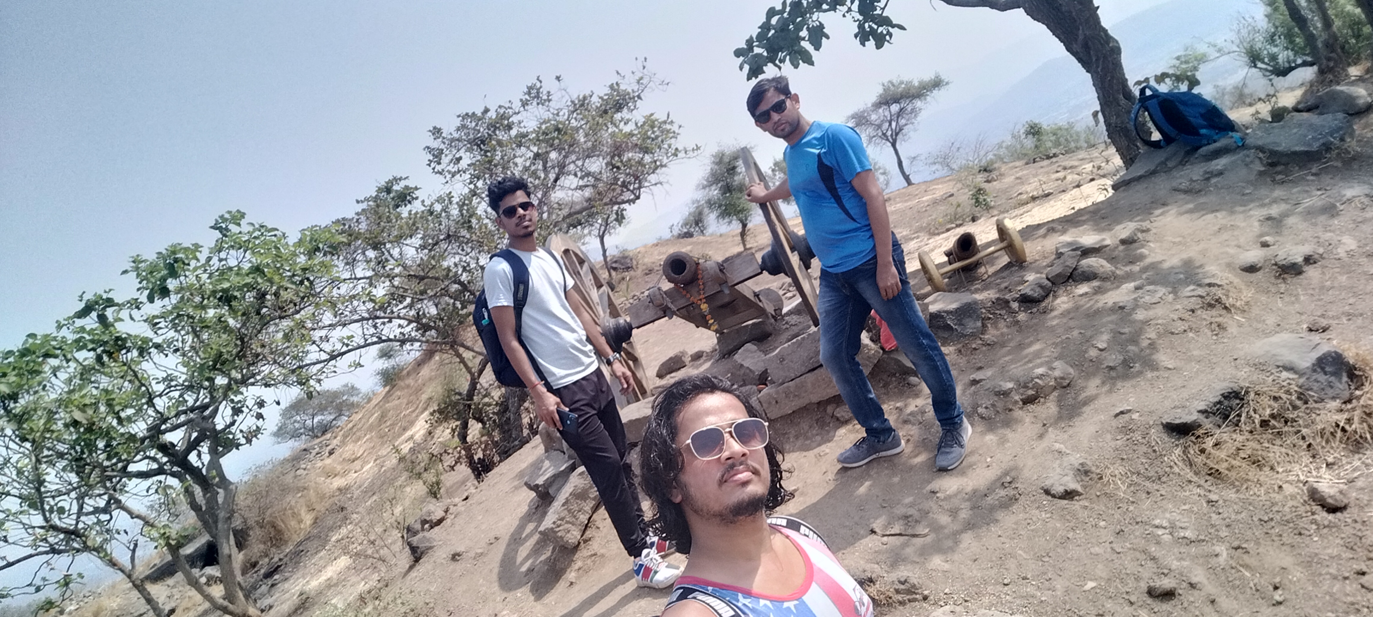
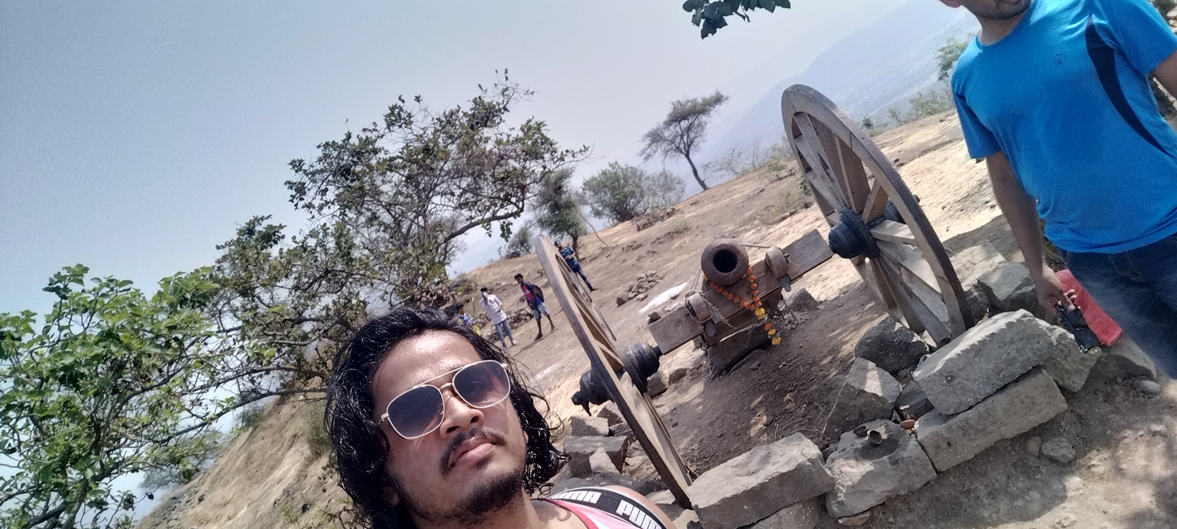
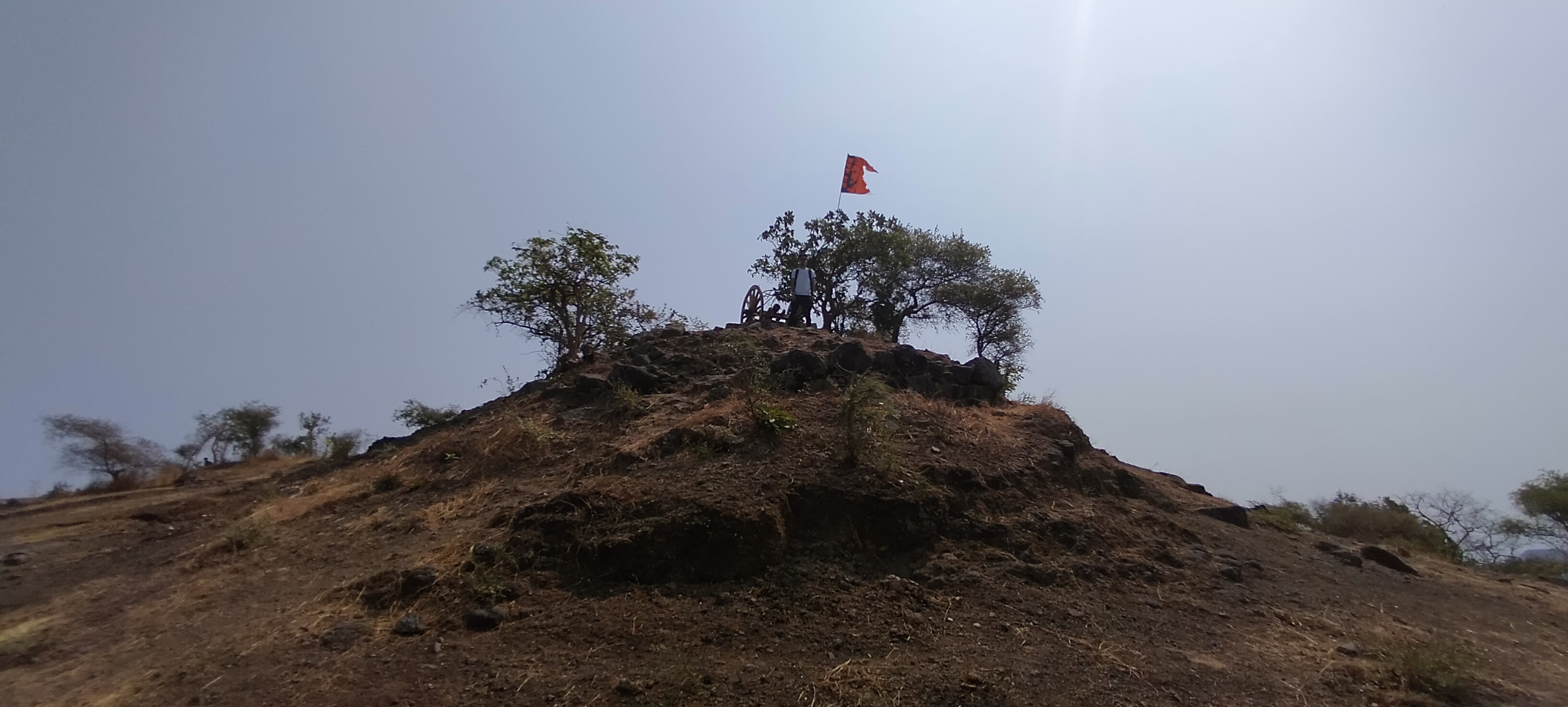
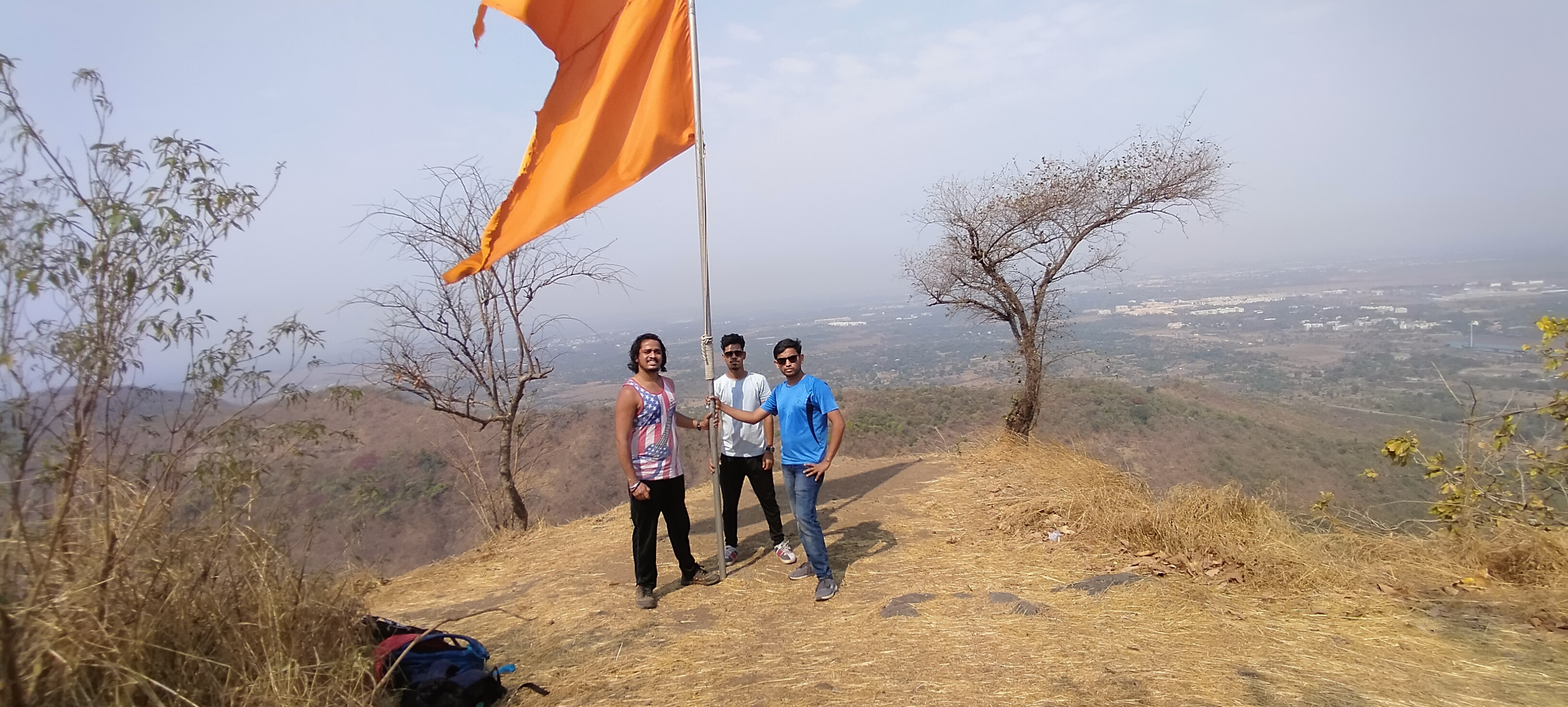
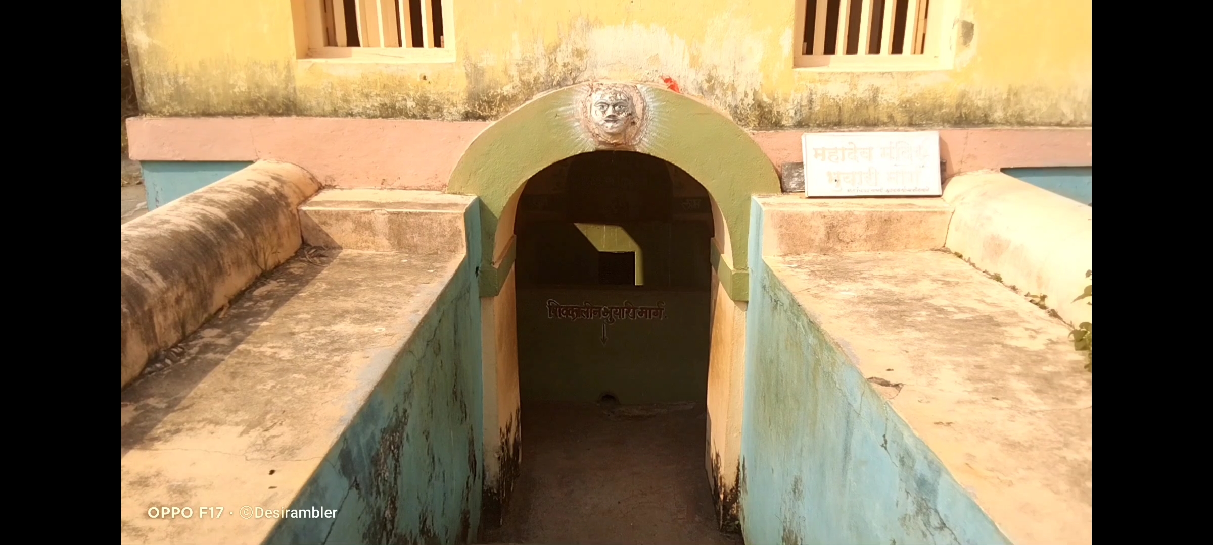
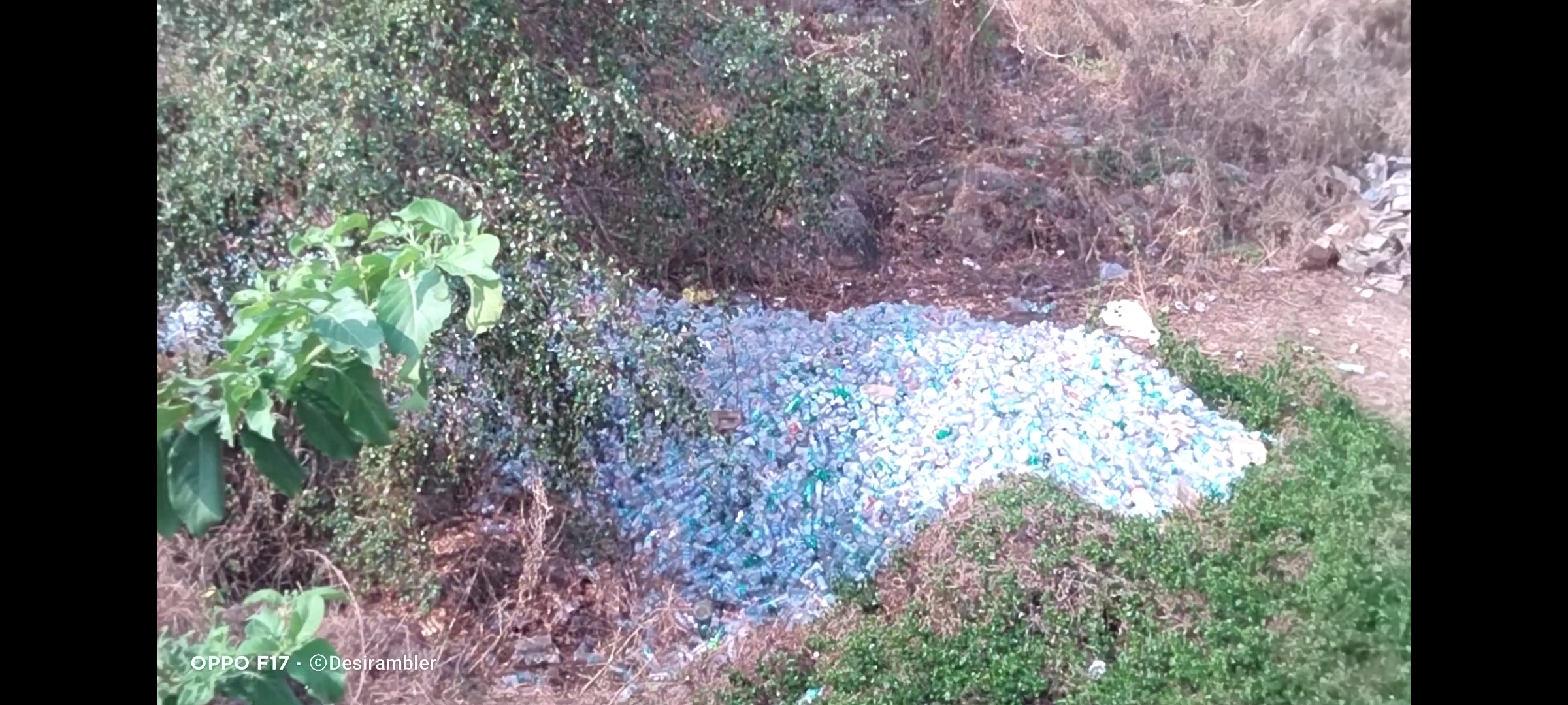
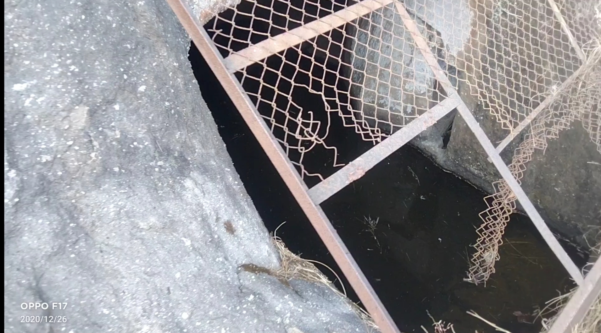
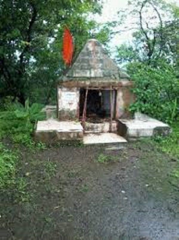
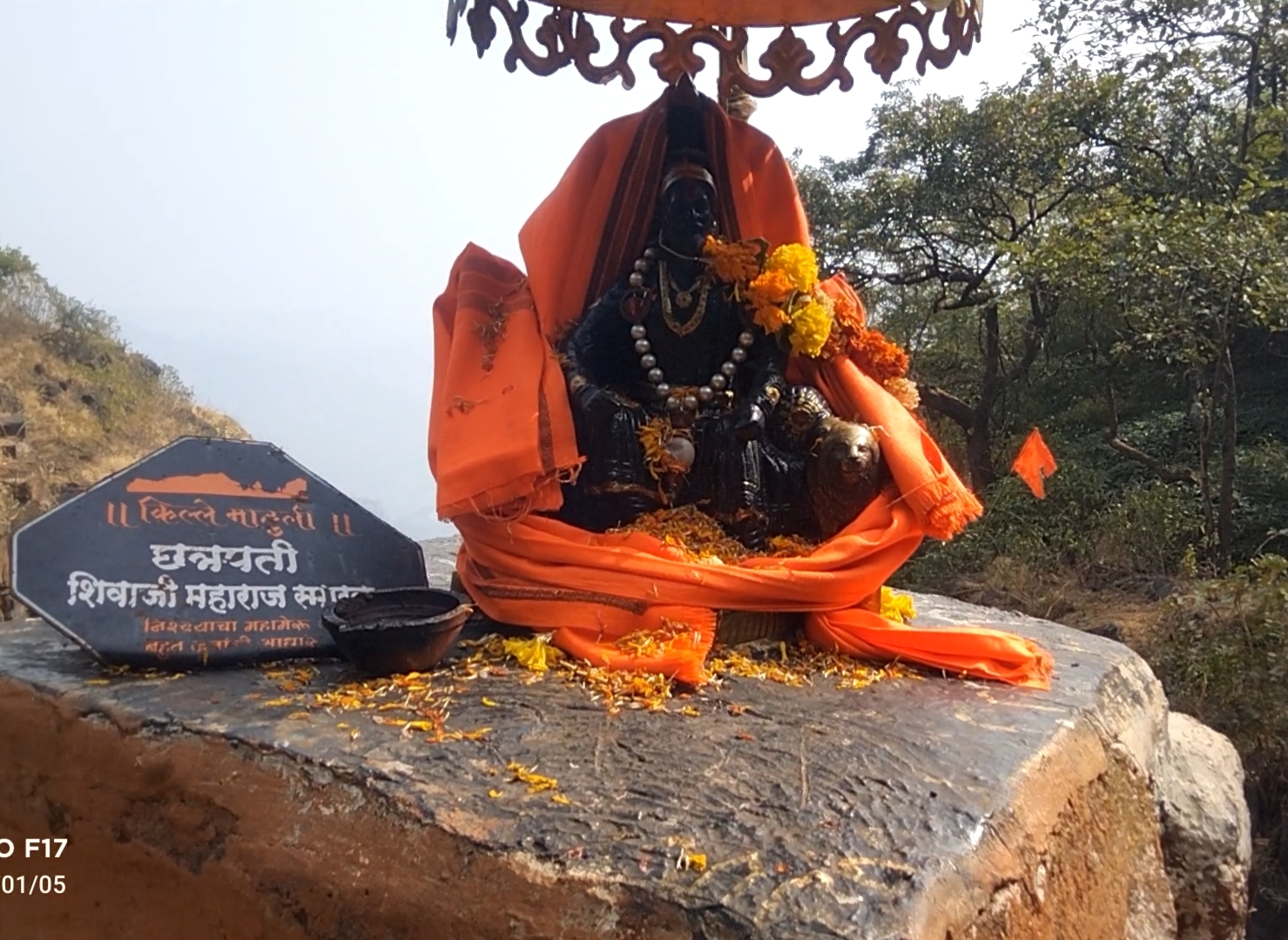
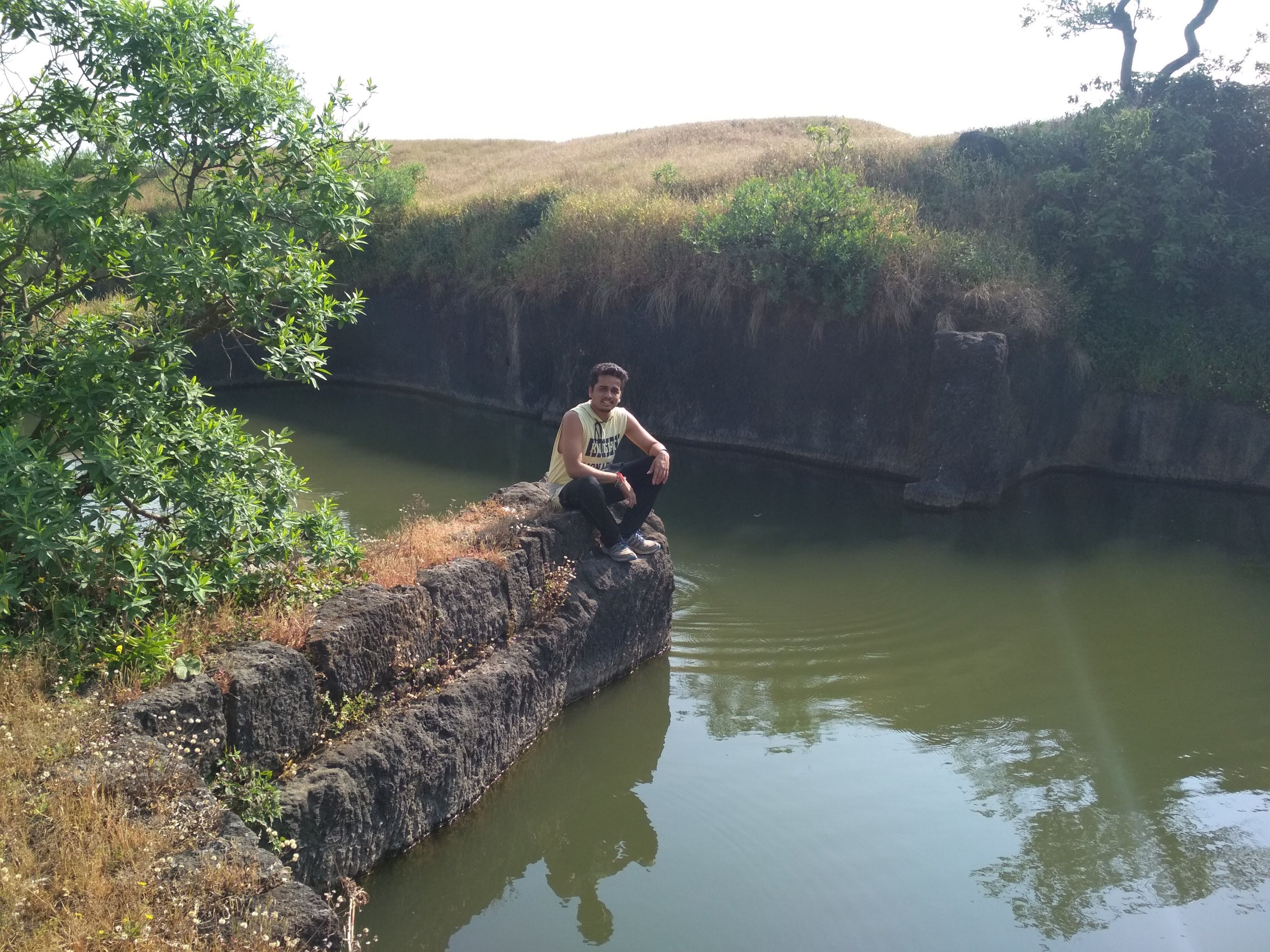
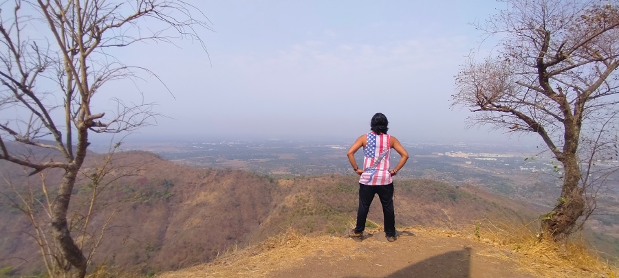
After reaching the top i saw that this fort is not big enough to roam and take rest as there no place to rest Like other big forts Like Mahuli, Sindhudurg fort and Prabhalgad, we decided to take to walk around the fort to see what it has like we found 4 water tank of which 1 was huge as you can see at the below picture and small Temple, small cannon many of the monuments was flushed away due to heavy rains and also no protection facility made by Government to protect it. the cave ans water stream as i mentioned was build in between the Climbing way but at the other side which was impossible to descent and Climb again because there is only one way to exit the fort if you are First time trekker at this fort like me, we spend 1hr at the fort at the raging sun was on our head which made us exhausted and Hungry, started our exiting way as soon as possible because our water supply was going to end soon, it was much difficult to go down because there were no support of rocks or any tree and the way was too steep, if unfortunately some thing happens and we slide down it could hurt us Badly. in 1 Hr we reach the start point and exited the place in hurry because we all were starving like hell.
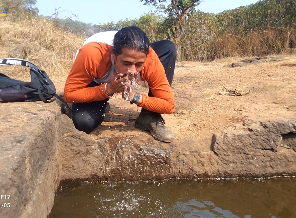
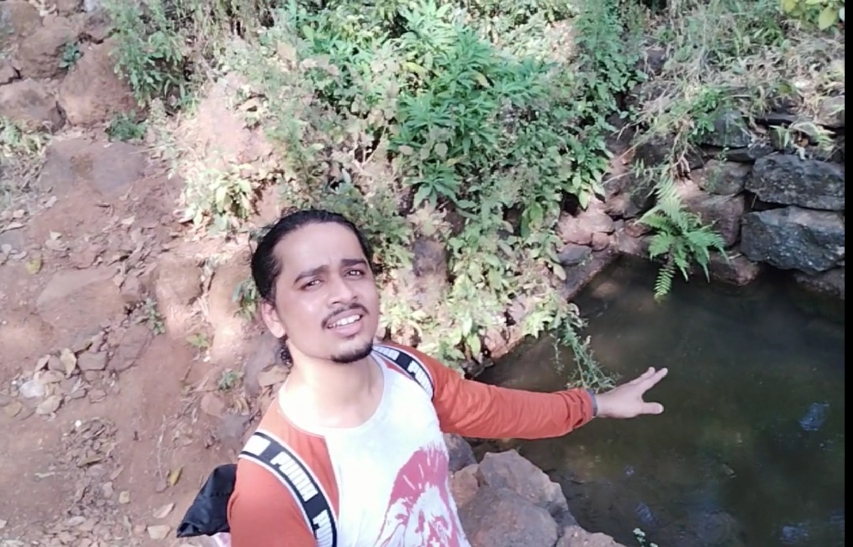
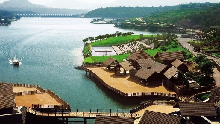
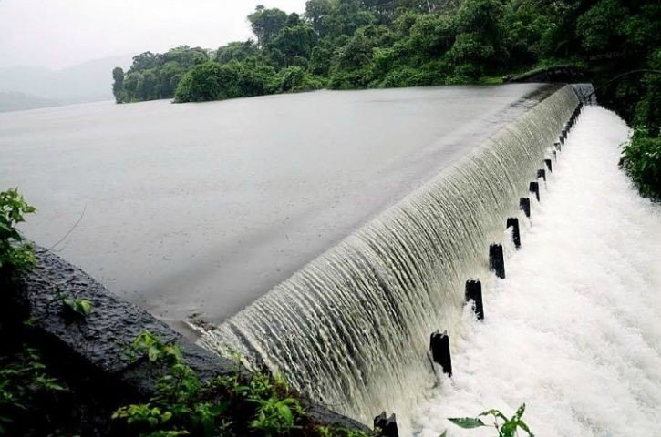
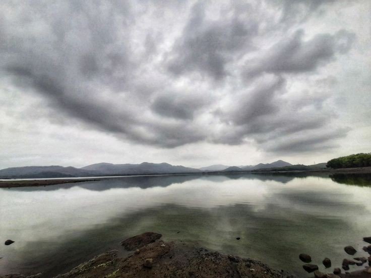
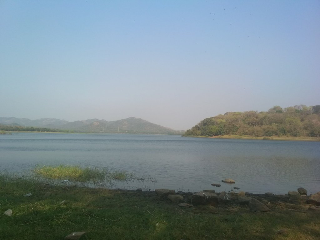
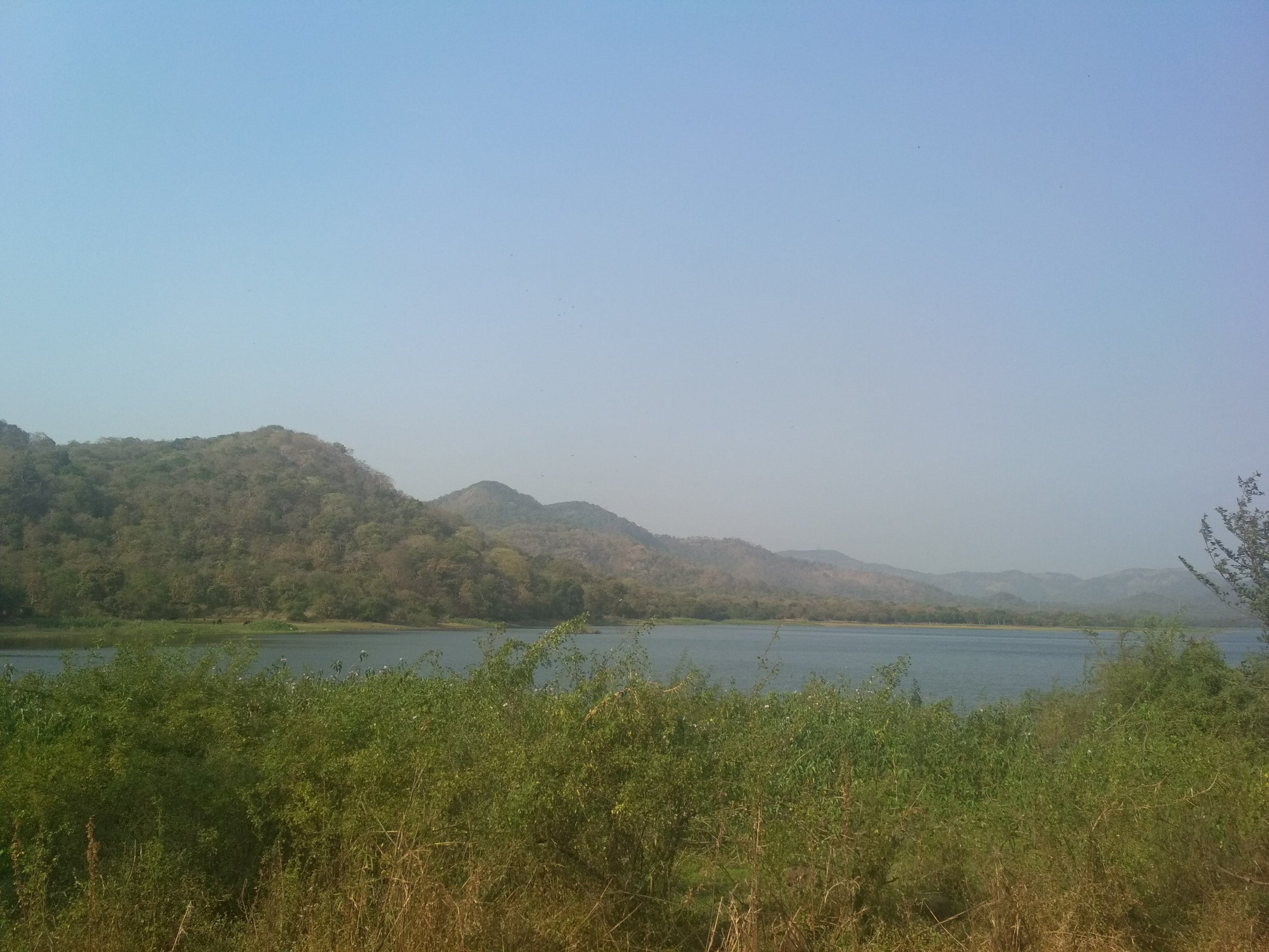
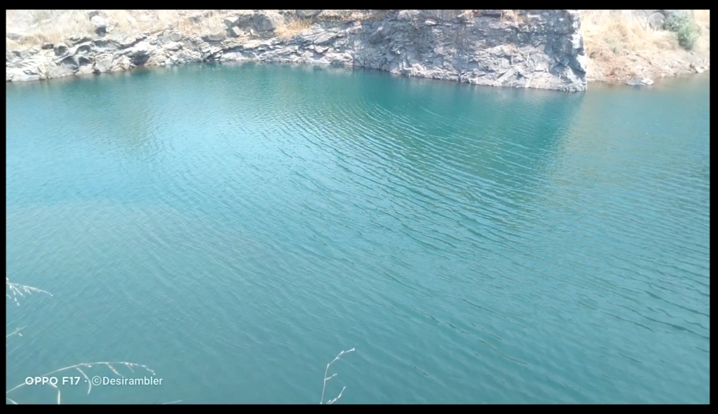
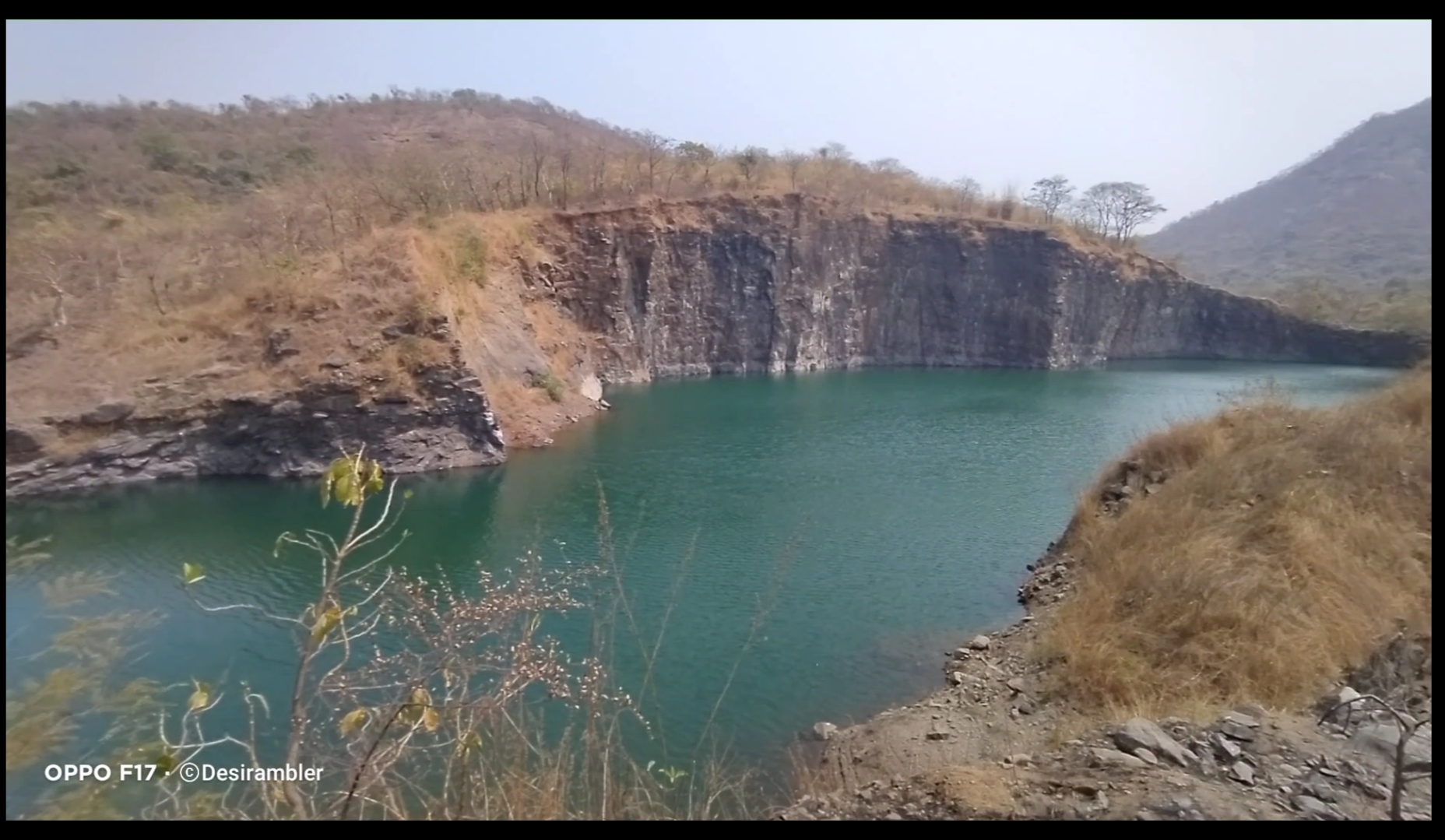
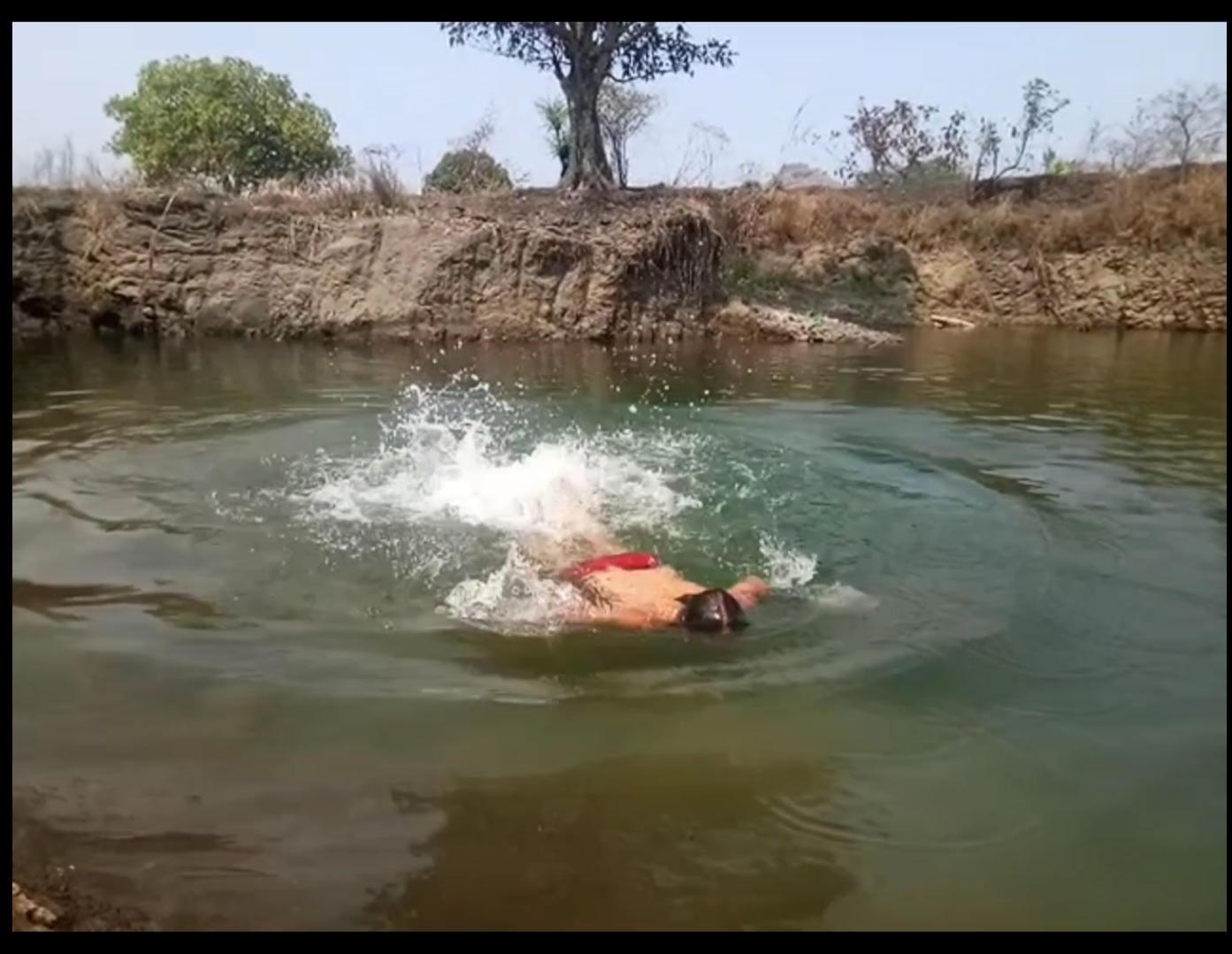
In between of the road we found a place which was amazing to watch and even to swim the best thing I do. It is the place where the rain water had been stored limitlessly.
To watch my full Experience video visiting Asawa fort click the given link below.
Thank you for reading My blog,
To support me Please like, comment, share and do follow my website.