
Introduction:- Lonavala is a hill station surrounded by green valleys in western India near Mumbai. .
Basic Info:-
Country:- India. State:- Maharashtra. District:- Pune. Area • Total 38 km (15 sq mi)
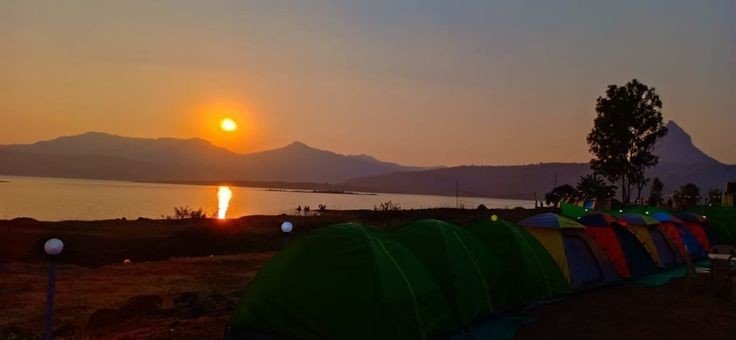
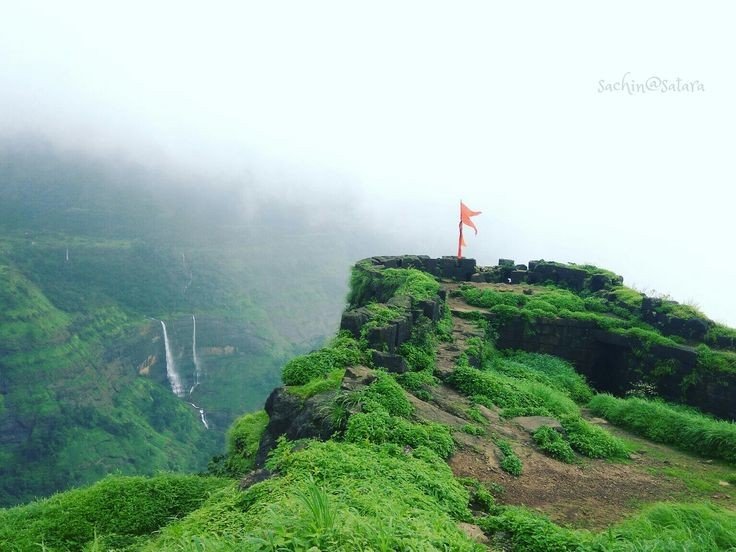
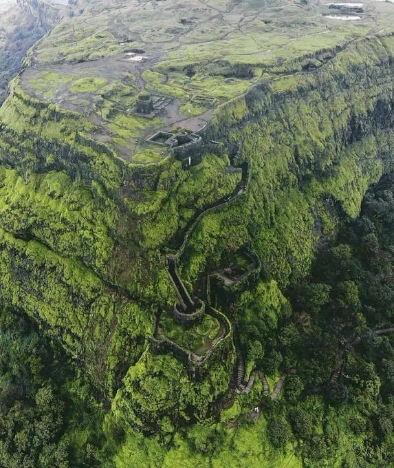
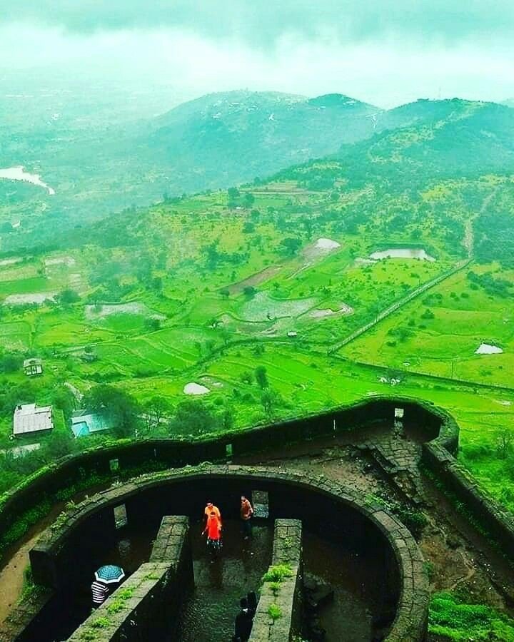
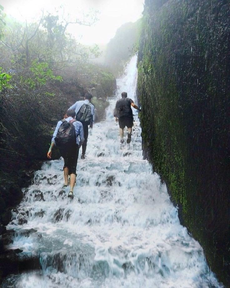
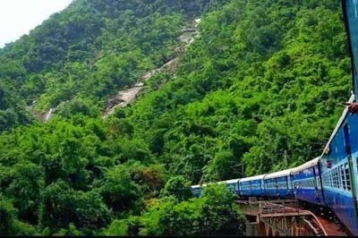
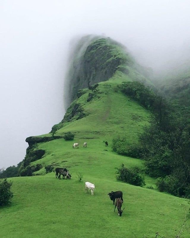
Mentioned below are some of beautiful pictures captured………..
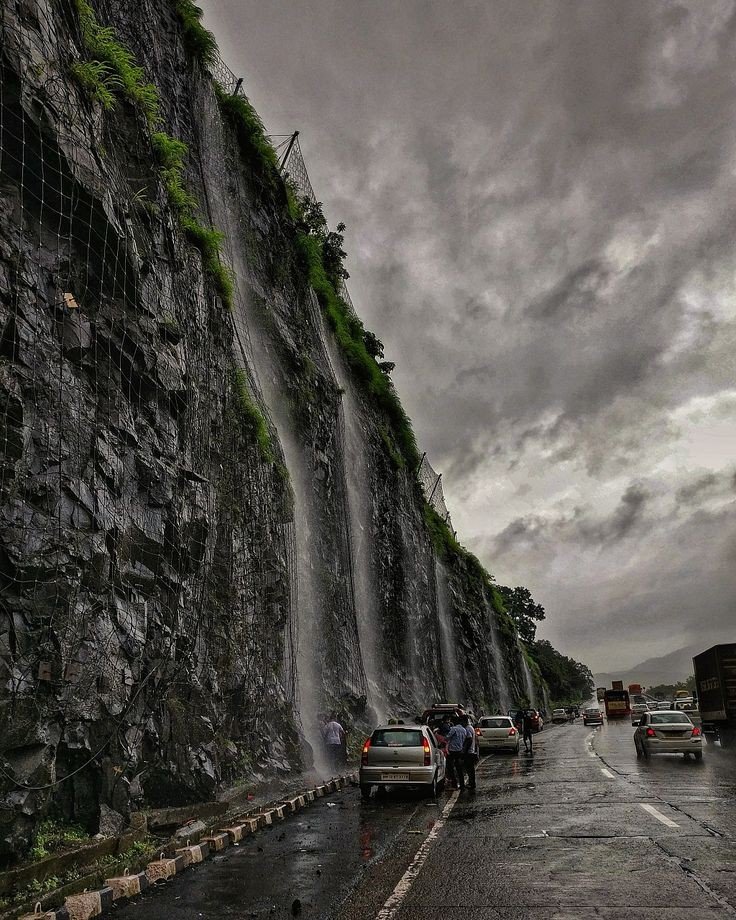
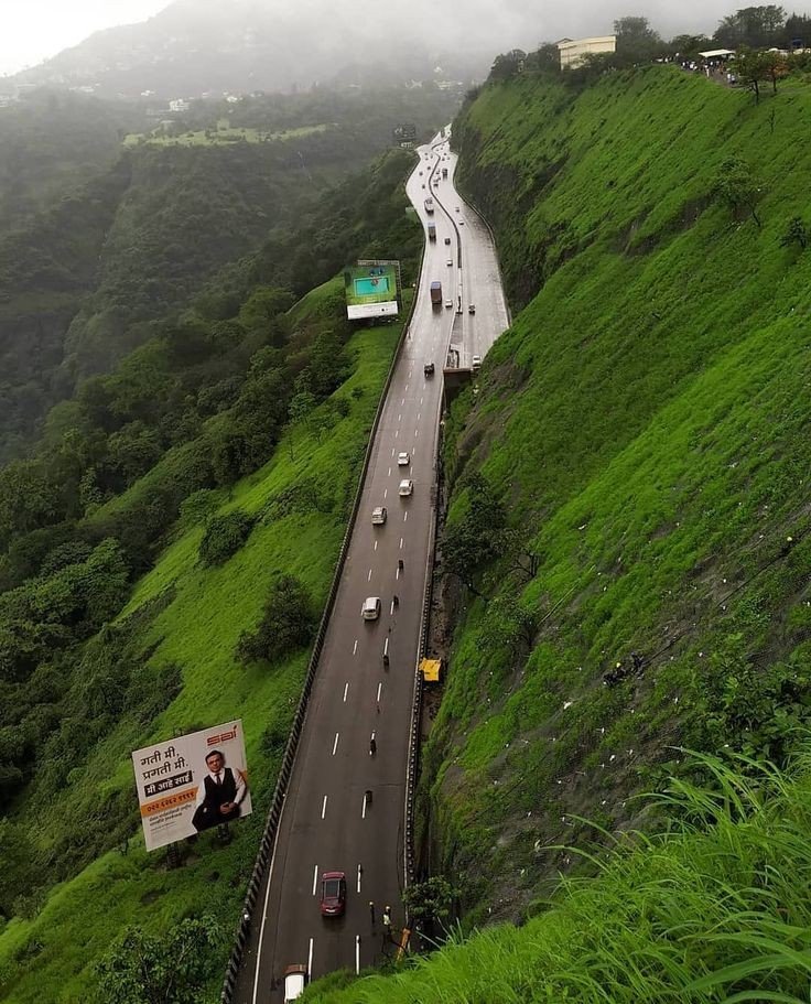
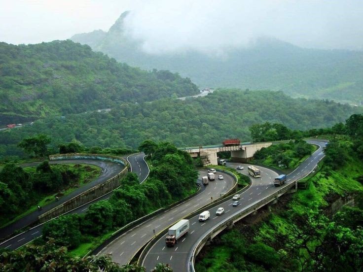
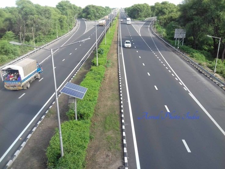
Reaching at lonavla:- best way to travel is by road, admiring nature’s beauty through eyes is an mind-blowing experience.
eg: If the start point is from Mumbai, Andheri it will be around 110km till the hill point, road is clear and simple not very jerky and confusing. Average reaching time 2hrs 30min, which is quite nice.
Below are means of transport
By road
Lonavala is on the Mumbai-Pune Expressway and is well-connected to several towns of Khopoli, Karjat, Talegaon Dabhade, etc.
By train
Lonavla railway station
Lonavala is well-connected by train. Local trains run from Pune at 2-hour intervals. Those originating from Mumbai along the central line have Khopoli as their last station. Buses are available at regular intervals to complete the remaining 15 km of the journey to Lonavla from Khopoli bus station. It takes 2.5 hours by train from Mumbai and 1 to 1.5 hour from Pune. All trains, travelling between Mumbai and Pune, halt at Lonavala. Before the push-pull technology, trains from Mumbai used to halt at Karjat in Raigad District to attach banker locomotives before the train started the journey up the western ghats to reach Lonavala.

By air
Lonavla does not have an airport, though the Indian Air Force station is situated on the way to Aamby Valley City. The city of Aamby Valley has its own private airport. The nearest commercial airports are Pune International Airport at 64 km and Chhatrapati Shivaji International Airport at 104 km. A seaplane service is also available between Juhu and Pawana Dam, which is 14 km away from Lonavala.
Place of Attraction
- Bhushi Dam
- Tiger point
- Pawana Lake
- Rajmachi Point
- Rajmachi Fort
- Sunil wax museum
- Karla Caves
- Lohagad Fort
- Visapur Fort
- Lion Point
Place Information with pictures
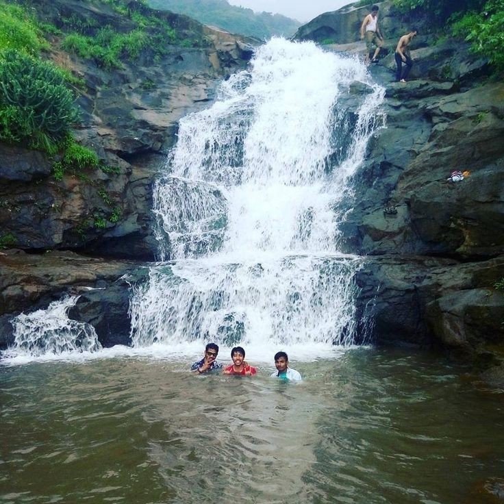
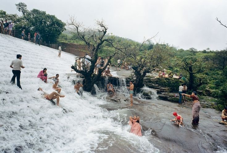
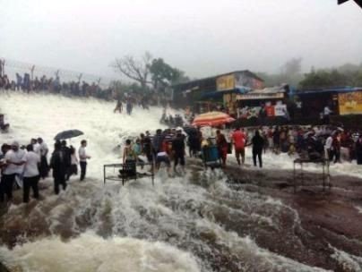
1. Bhushi Dam:- A waterfall near the dam is located between Lonavala and I.N.S. Shivaji. Buses running on the I.N.S. Shivaji Road stop here.
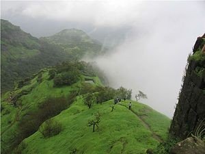
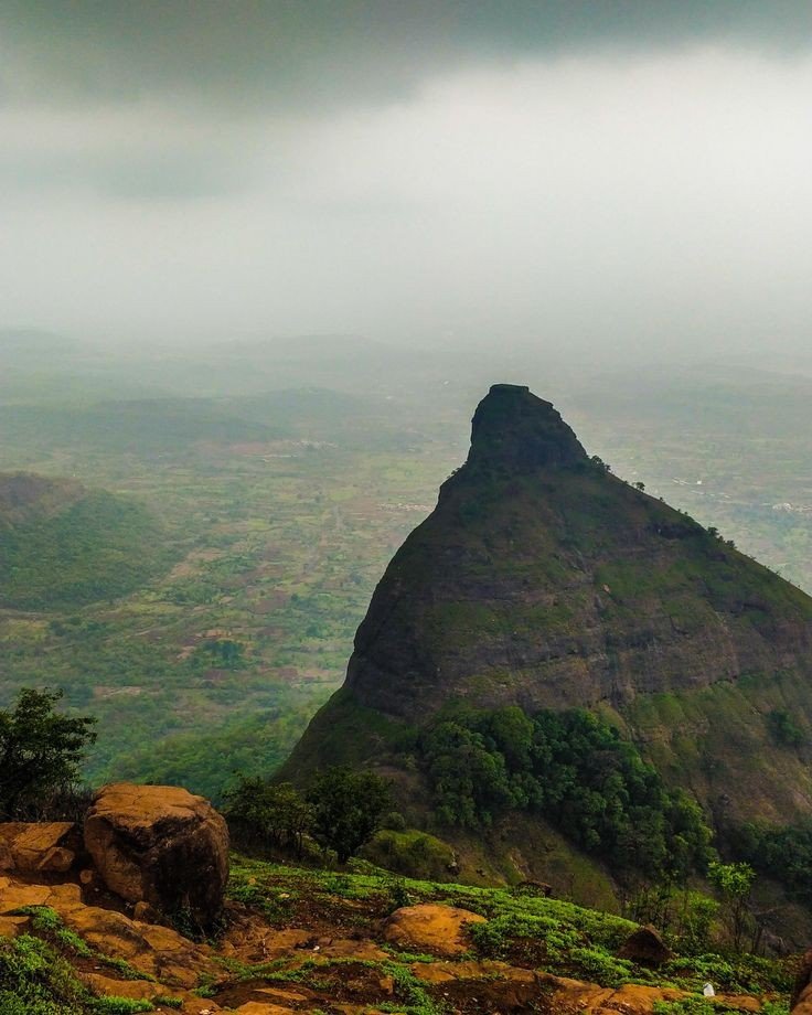
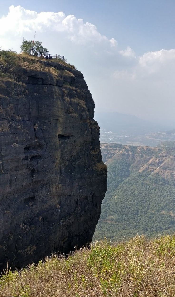
2. Tiger Point:- Tiger’s Leap also known as Tiger’s Point is a cliff-top with a sheer drop of over 650 m, giving an extensive view. Buses are available up to INS Shivaji and the remaining distance of about 1.6 km has to be covered on foot. Legend has it that while being chased by a tiger once, the Maratha Empire king Shivaji jumped into a ditch on the hill and the tiger leaped off it into the valley giving it the name of tiger’s leap.
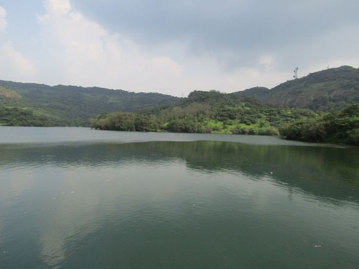
3. Pawna Lake:- Lake is surrounded by natural scenery, about 1.6 km from the town. The lake dries up during the winter and summer months offering an expanse of green grass which is used by walkers and joggers.
4. Rajmachi Point:- It is located about 6.5 km from Lonavala. This point commands a view of Shivaji maharaj’s fort, Rajmachi (Royal terrakouioce) and the surrounding valley. Regular State Transport buses ply between Rajmachi Point and Lonavala from the State Transport Bus Stand. The Vaghjai Dari is also located here.
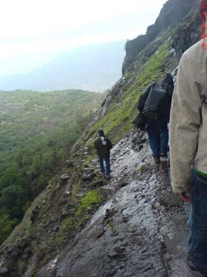
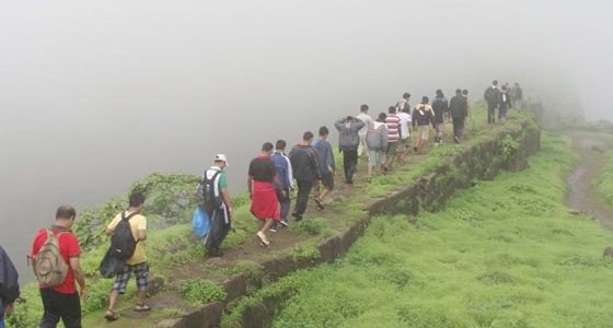
5. Rajmachi fort:- It is a historic fort close to Lonavala and attracts a lot of trekkers during the monsoon season. The fort also comprises two other forts – Shrivardhan Fort and Manaranjan Fort. Besides, the fort is known for the fireflies that lit up the surroundings in night.
6. Lohagad fort:- A robust climb of about 11.2 km from Malavali railway station takes you to the ‘Iron Fort’, once a formidable battle-station of Shivaji. The fort commands a view of the surrounding hills and hamlets.
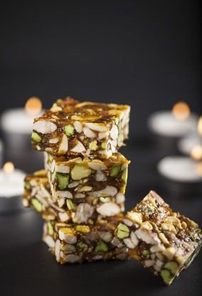
Popular food
Lonavla chikki: It is a chikki, named after Lonavala a town in Pune district of Maharashtra India. Its genesis lay in a sweet called gud dani/ guddani/ gurdani made from jaggery, ground nuts and ghee, sold by The Real Maganlal Agarwal from his sweet meat shop in Lonavala, this was packaged by railway authorities and sold to train travellers between Lonavala and Mumbai, encouraged by this Agarwal renamed gud dani “Maganlal Chikki” however it became and continues to be called Lonavala chikki.
History of the place
Present day Lonavala was a part of the Yadava dynasty. Later, the Mughals realized the strategic importance of the region and kept the region for an extended time. The forts in the region and the “Mavala” warriors played an important role in the history of the Maratha Empire and that of the Peshwas. In 1871, the Lonavala and Khandala hill stations were discovered by Lord Elphinstone, who was the Governor of Bombay Presidency at the time.
Tourism
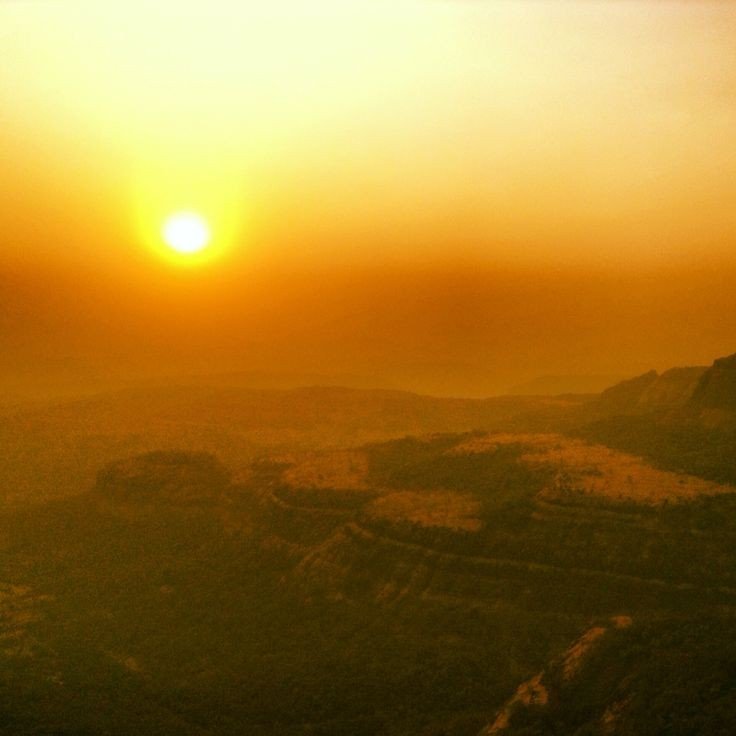
Lonavala and the adjacent Khandala are twin hill stations 622 metres (2,041 ft) meters above sea level, in the Sahyadri ranges that demarcate the Deccan Plateau and the Konkan coast. The hill stations sprawl over an approximate area of 38 square kilometres (15 sq mi). Tourism peaks during the monsoon season. The name Lonavala is derived from the words ‘leni‘ which means caves and ‘avali‘ which means series. i.e. ‘a series of Caves’ which is a reference to the many caves like Karla Caves, Bhaja Caves and Bedsa that are close to Lonavala. A trip to Lonavala and Khandala can be combined with sight-seeing visits of Karla, Bhaja and Bedsa caves and also the two fortresses, Lohagad and Visapur. Another place of interest is the Tungi fort, one of the forts captured by Malik Ahmad near the village of Karjat and was known for its natural strength. The Andharban trek begins from village Pimpri, passes through dense forests, valleys and waterfalls and ends in Bhira.
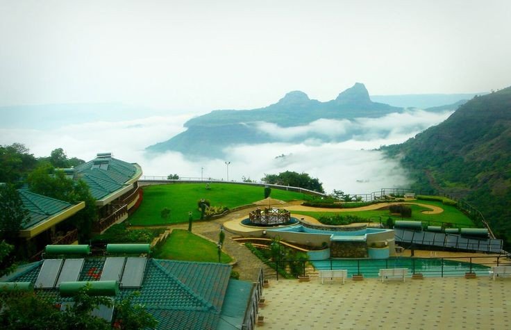
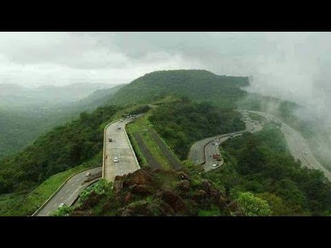
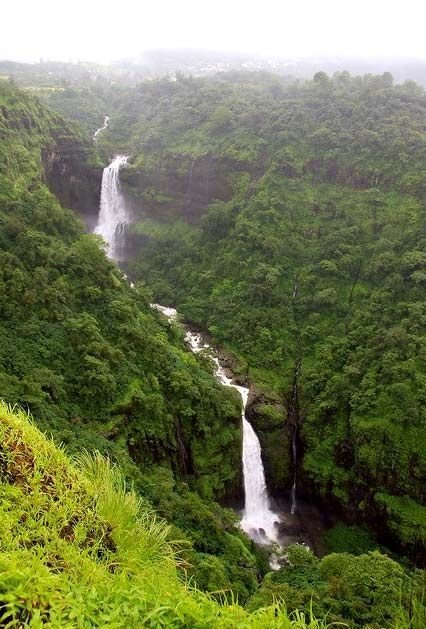
Last but not the least let’s check out some beautiful pictures of lonavla below

If you like my blog pls like, comment, share and subscribe.
