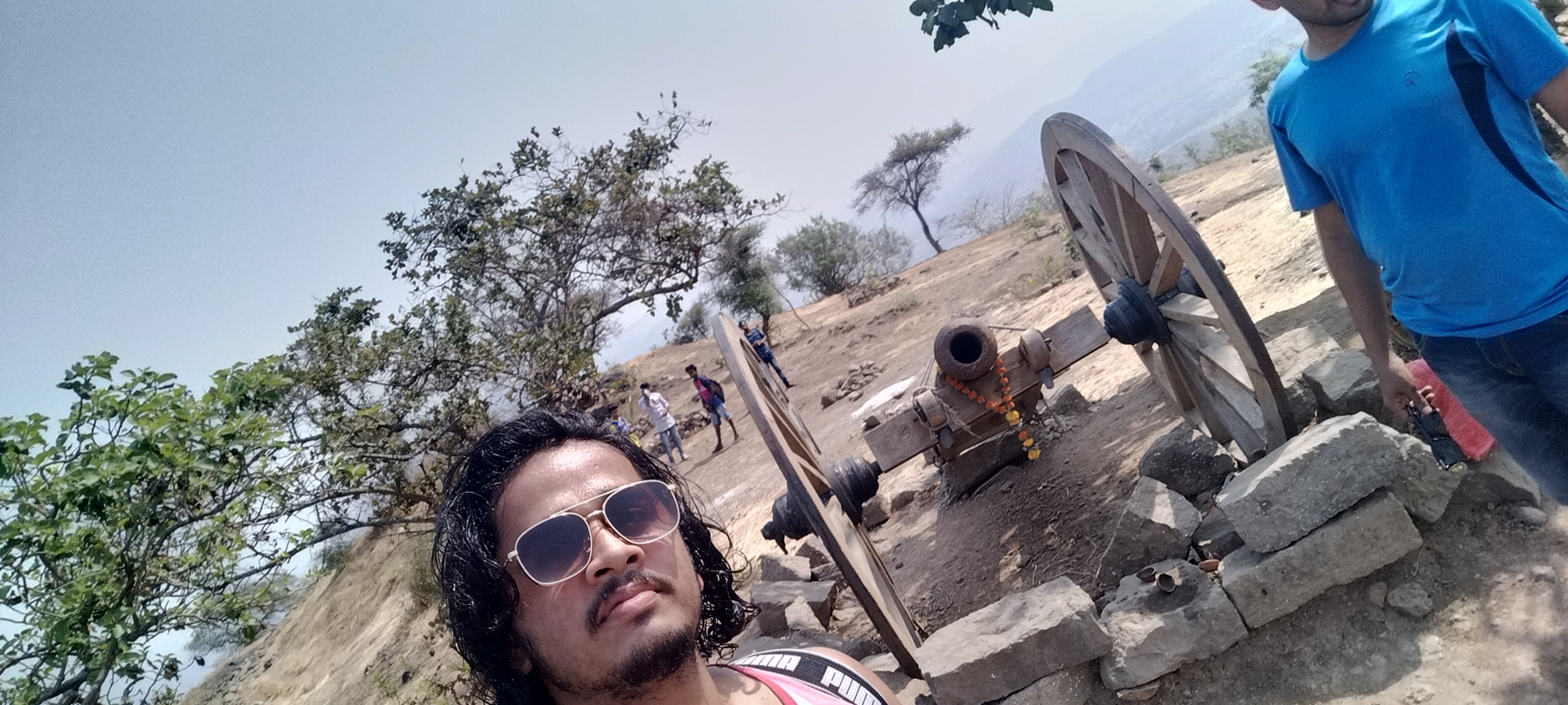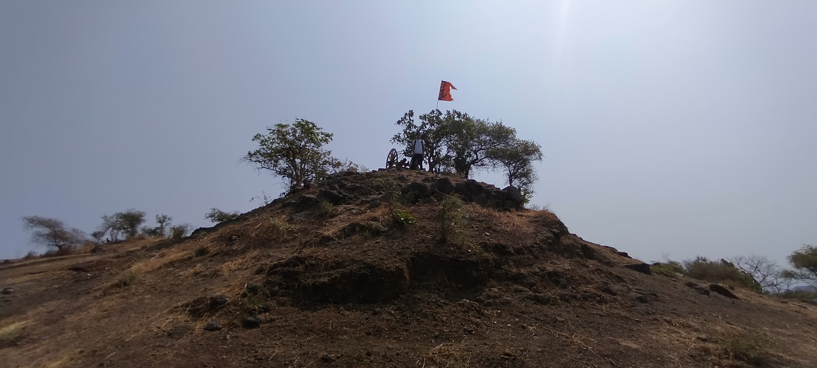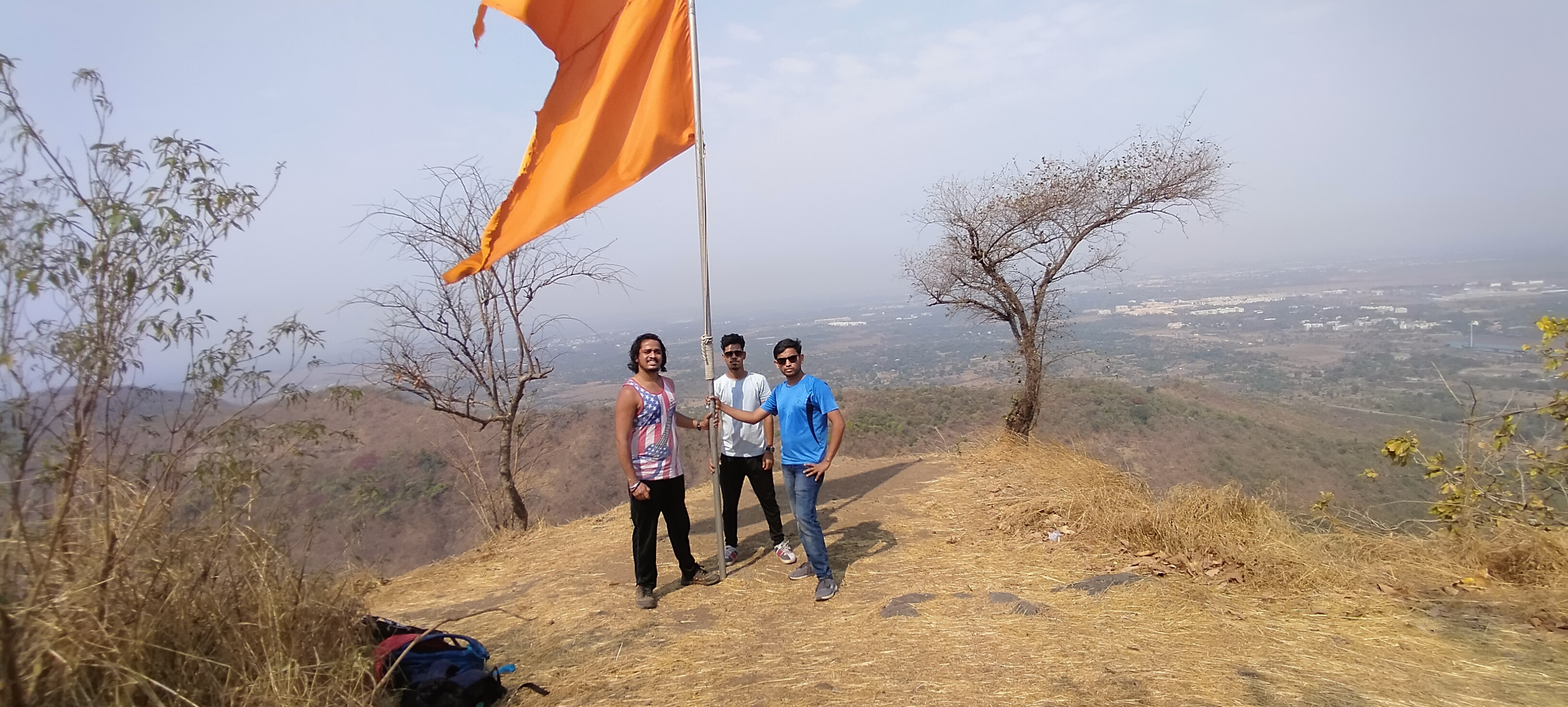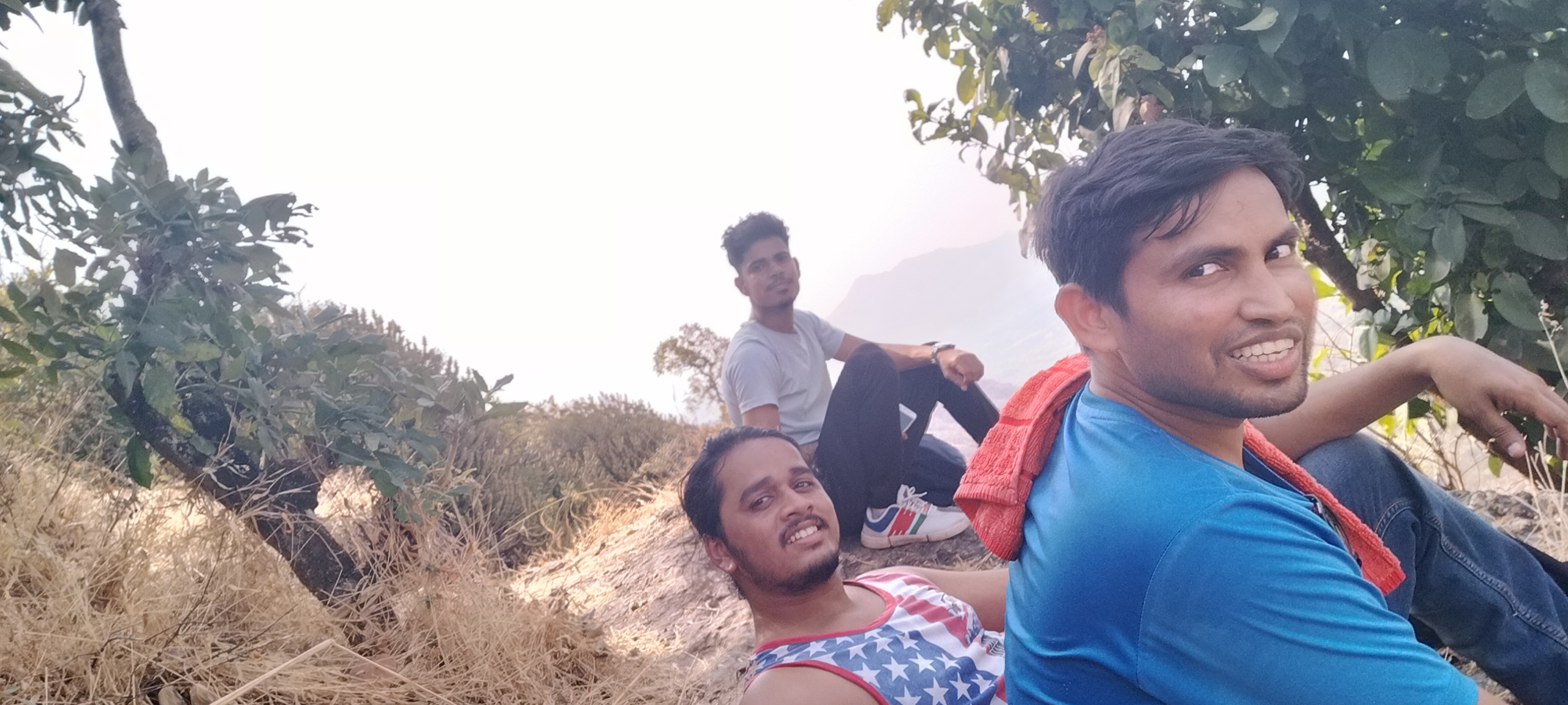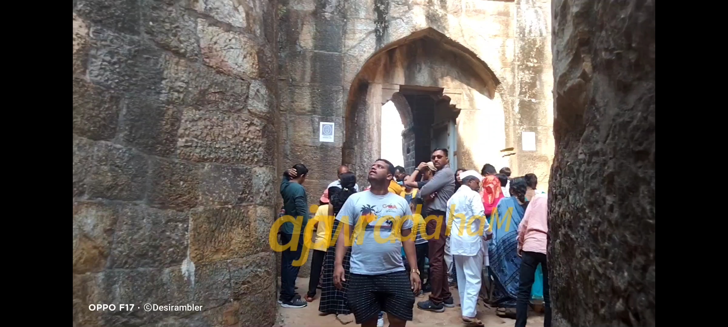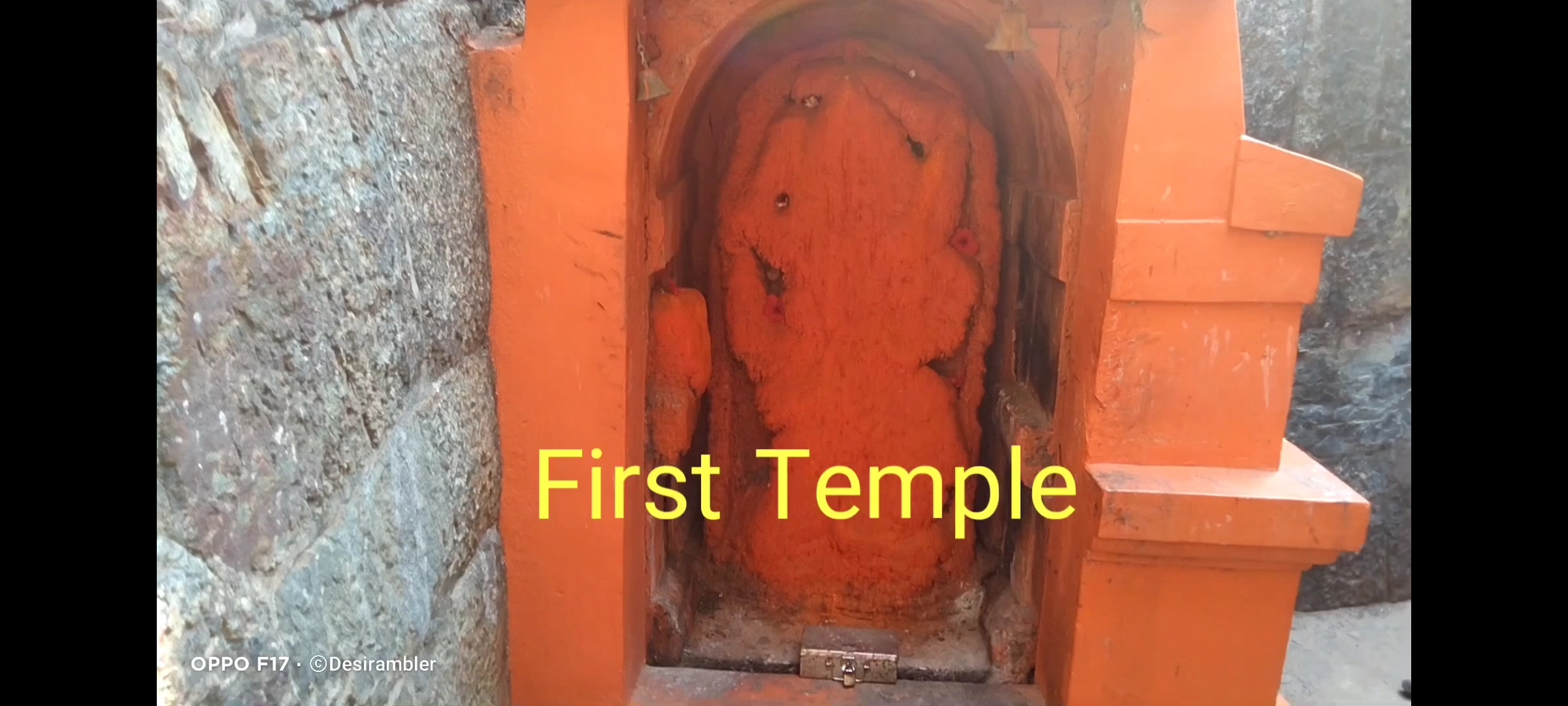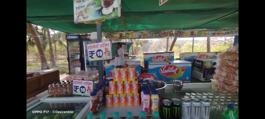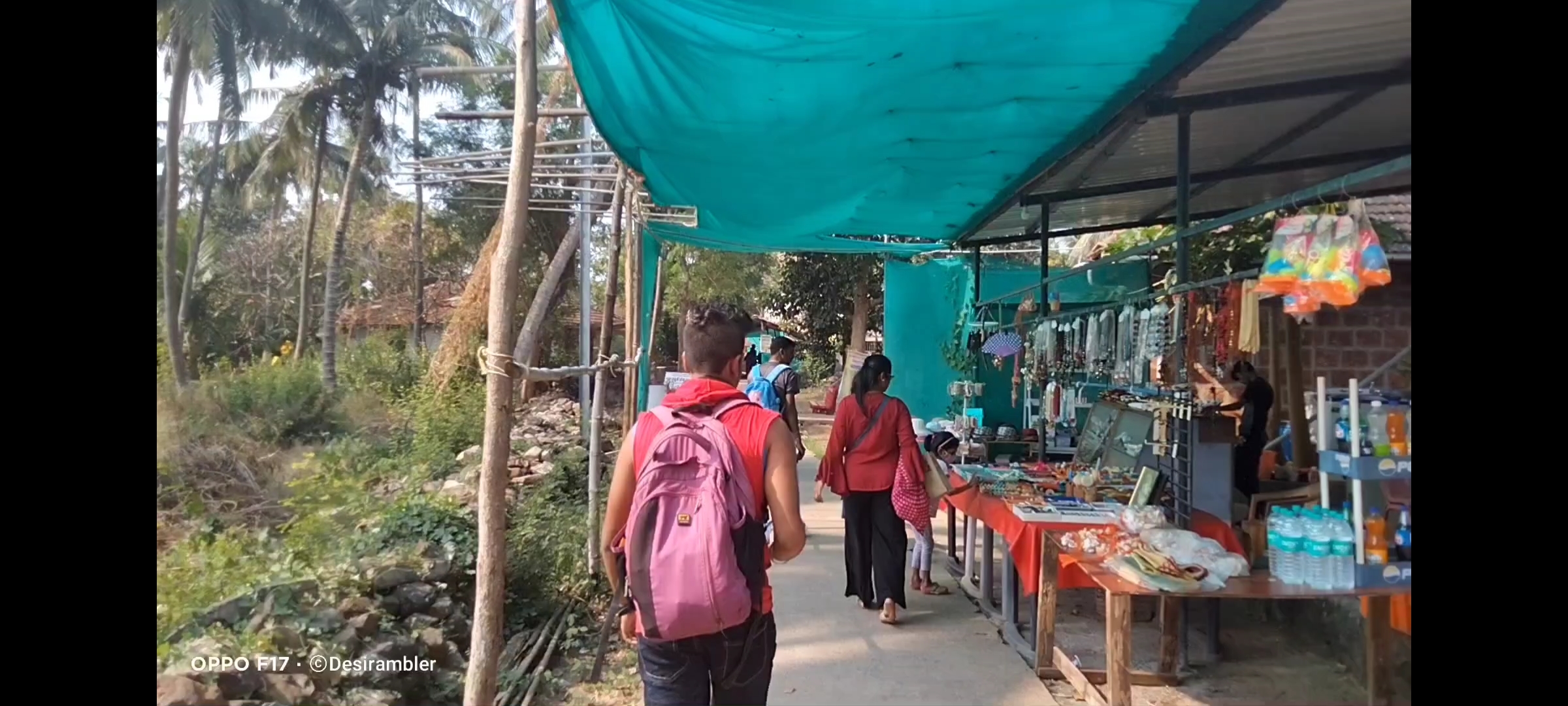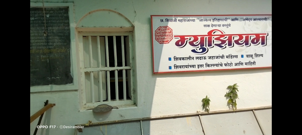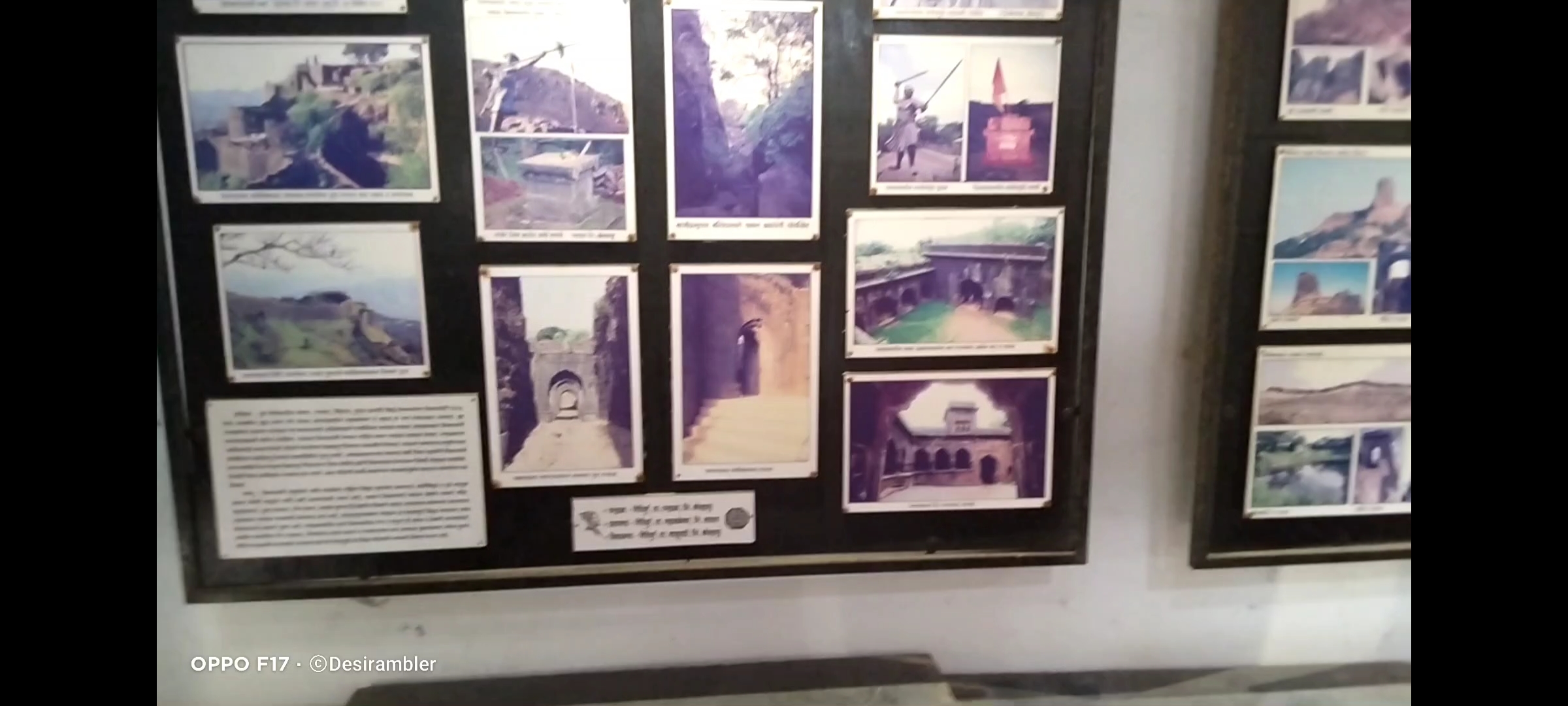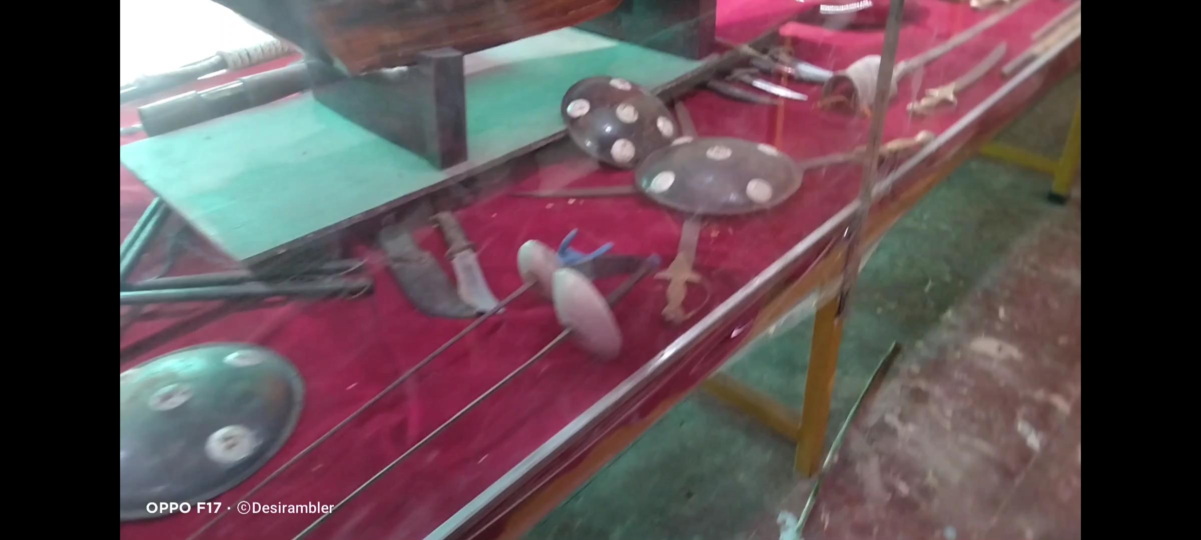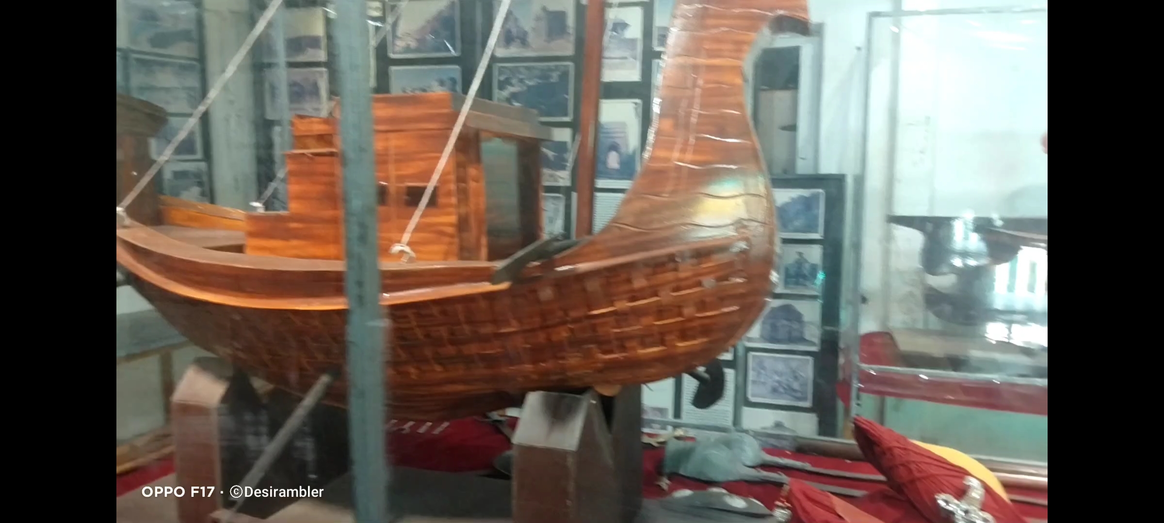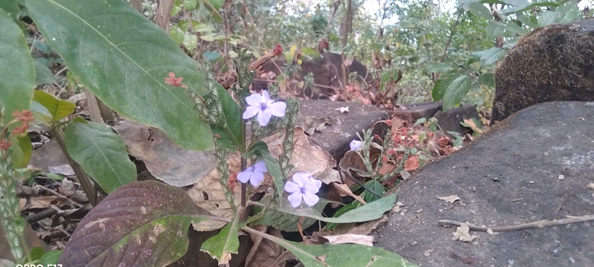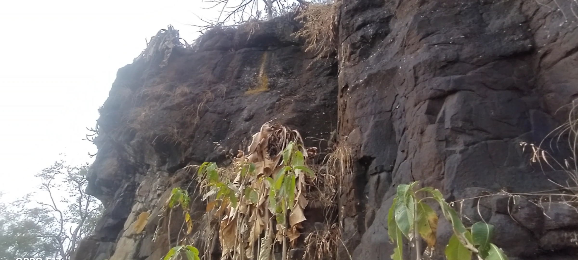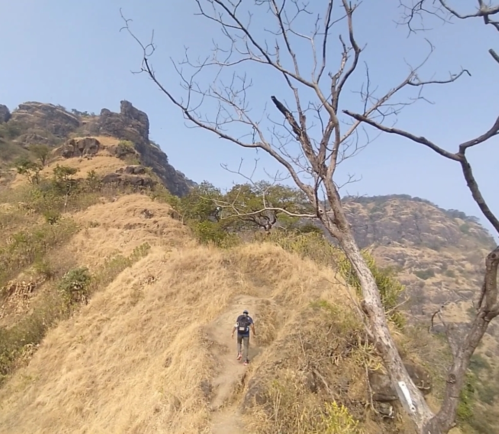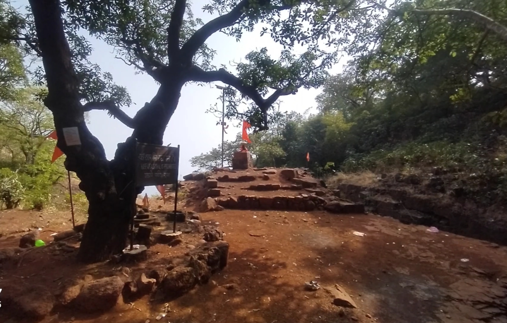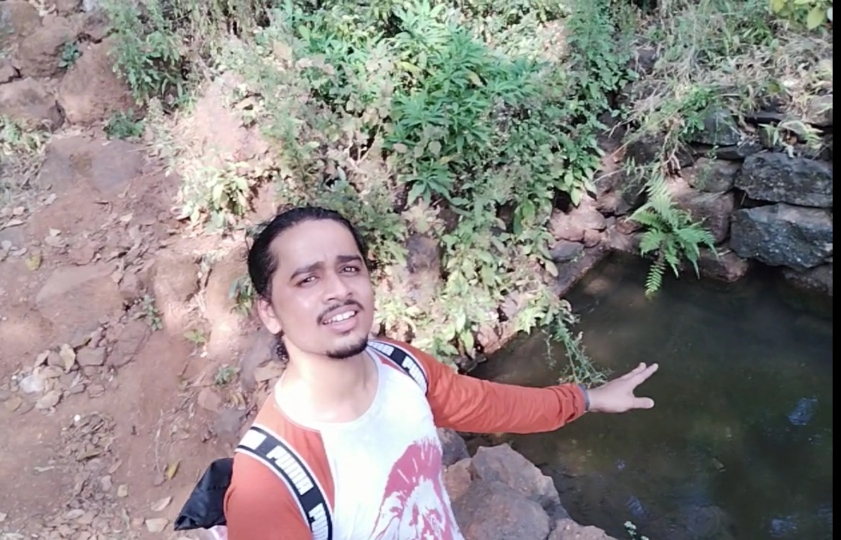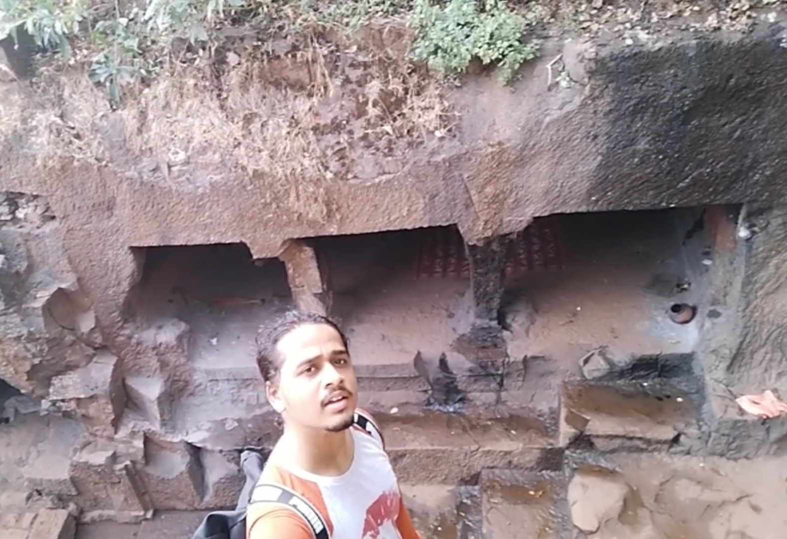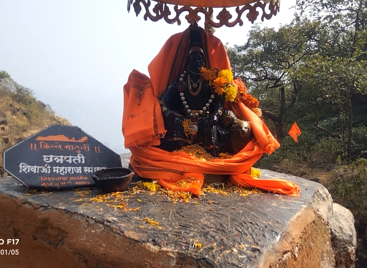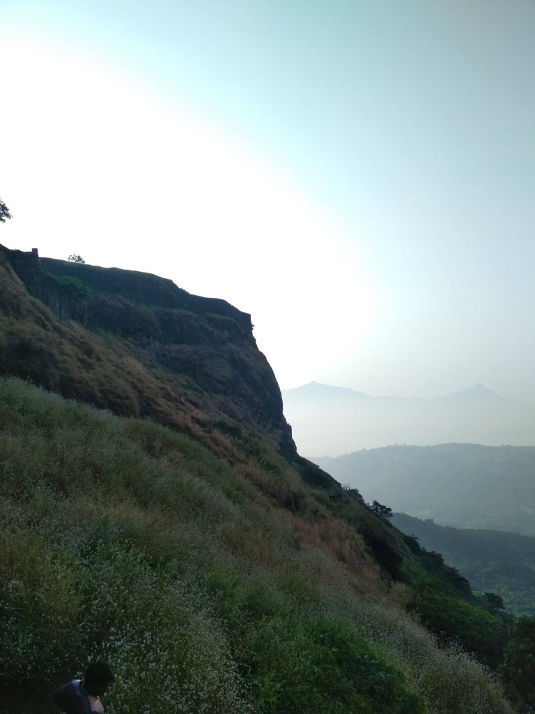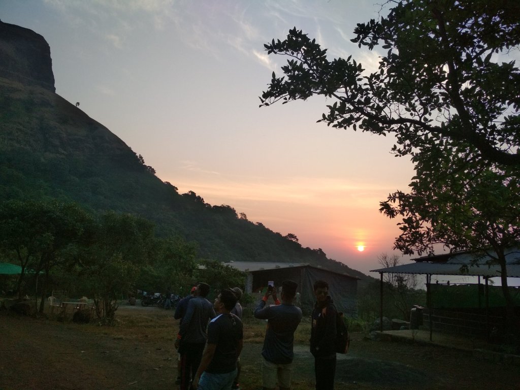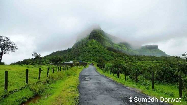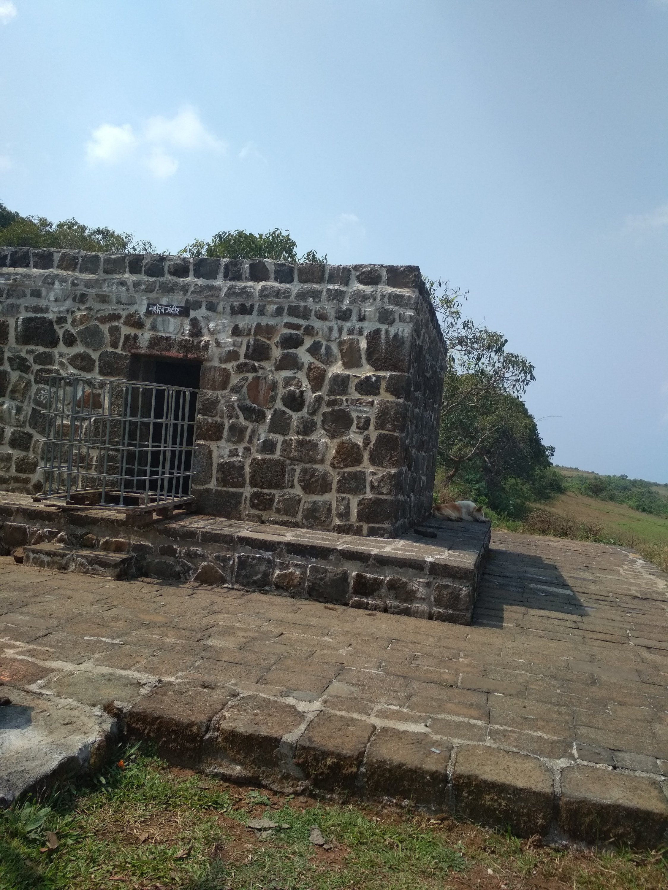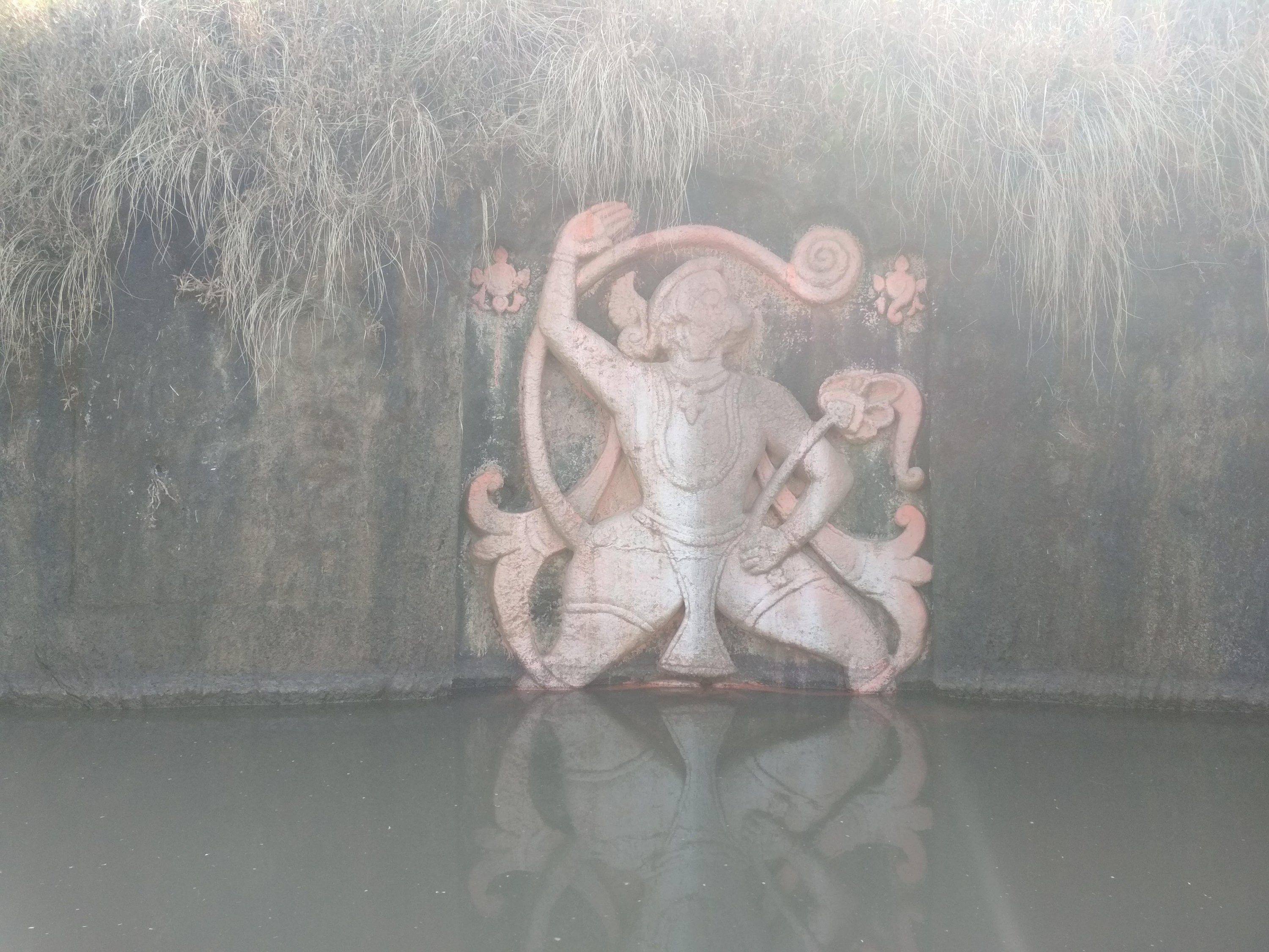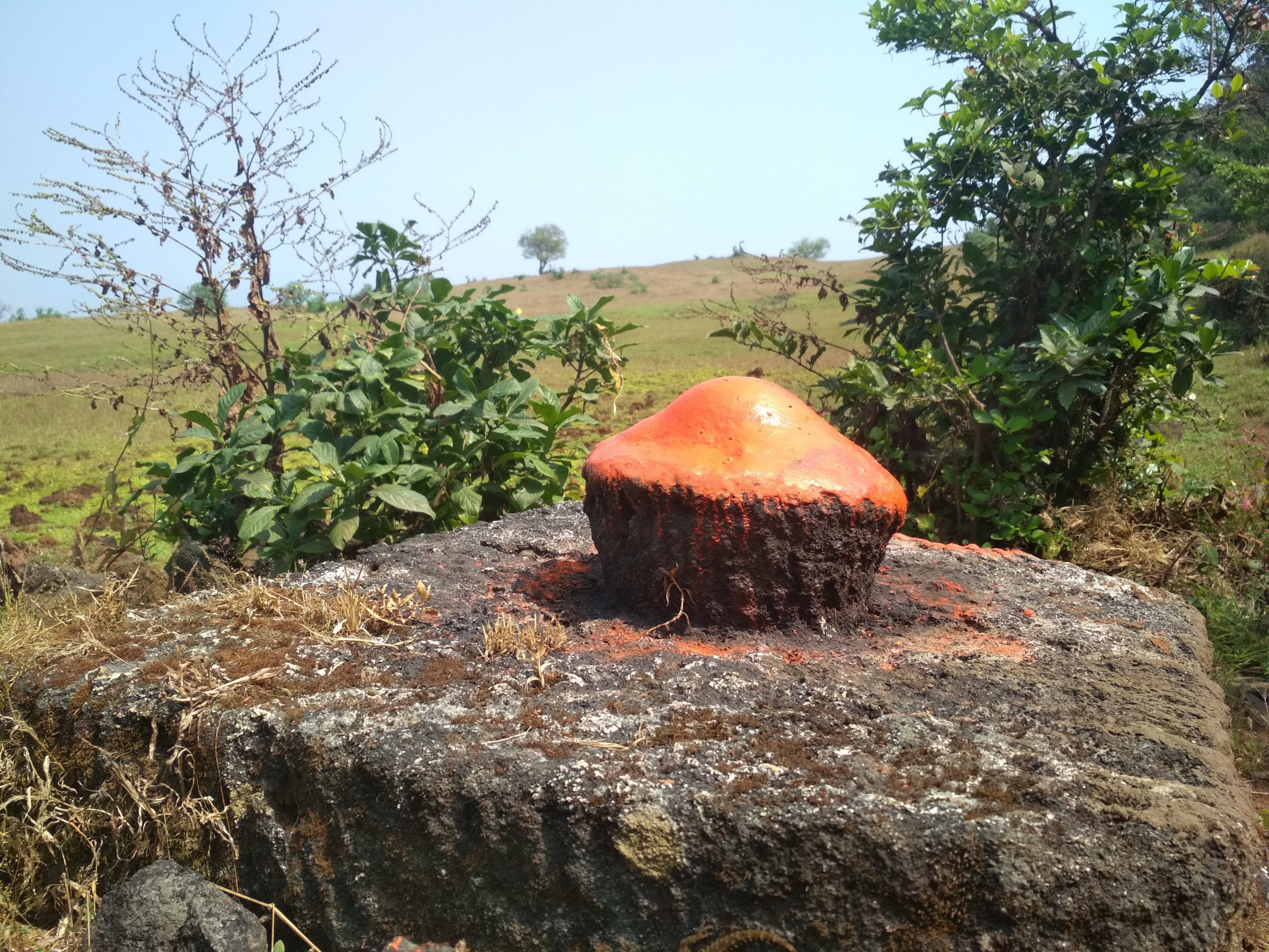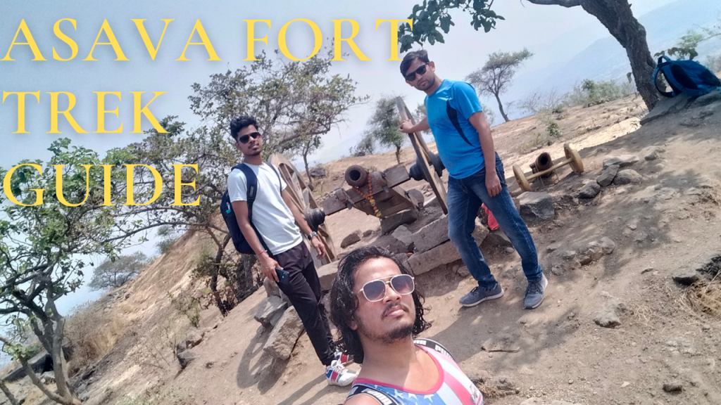
Asava fort/Killa Trek guide

Fort Info

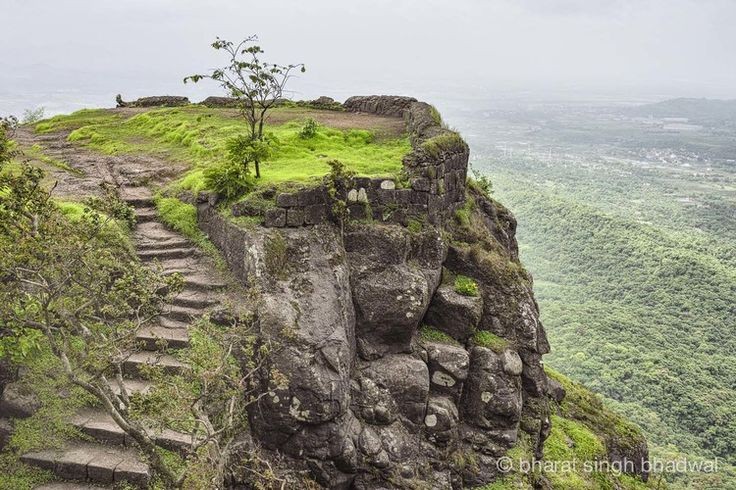
Name:- Asawa/ Asava

Height:- 1080ft

Place:- Boisar, Maharashtra, India

Difficulty:- Moderate

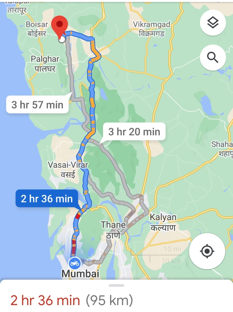
Distance:- 95km from Mumbai

Trek Duration:- 1hr 30min Max/1hr 15min minimum
Personal Experience

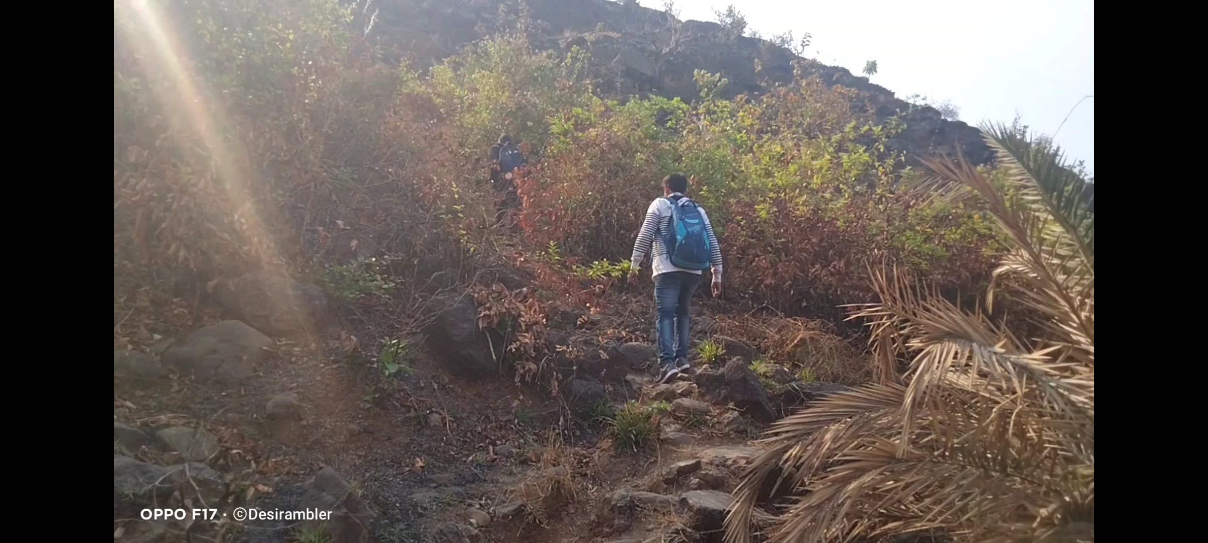
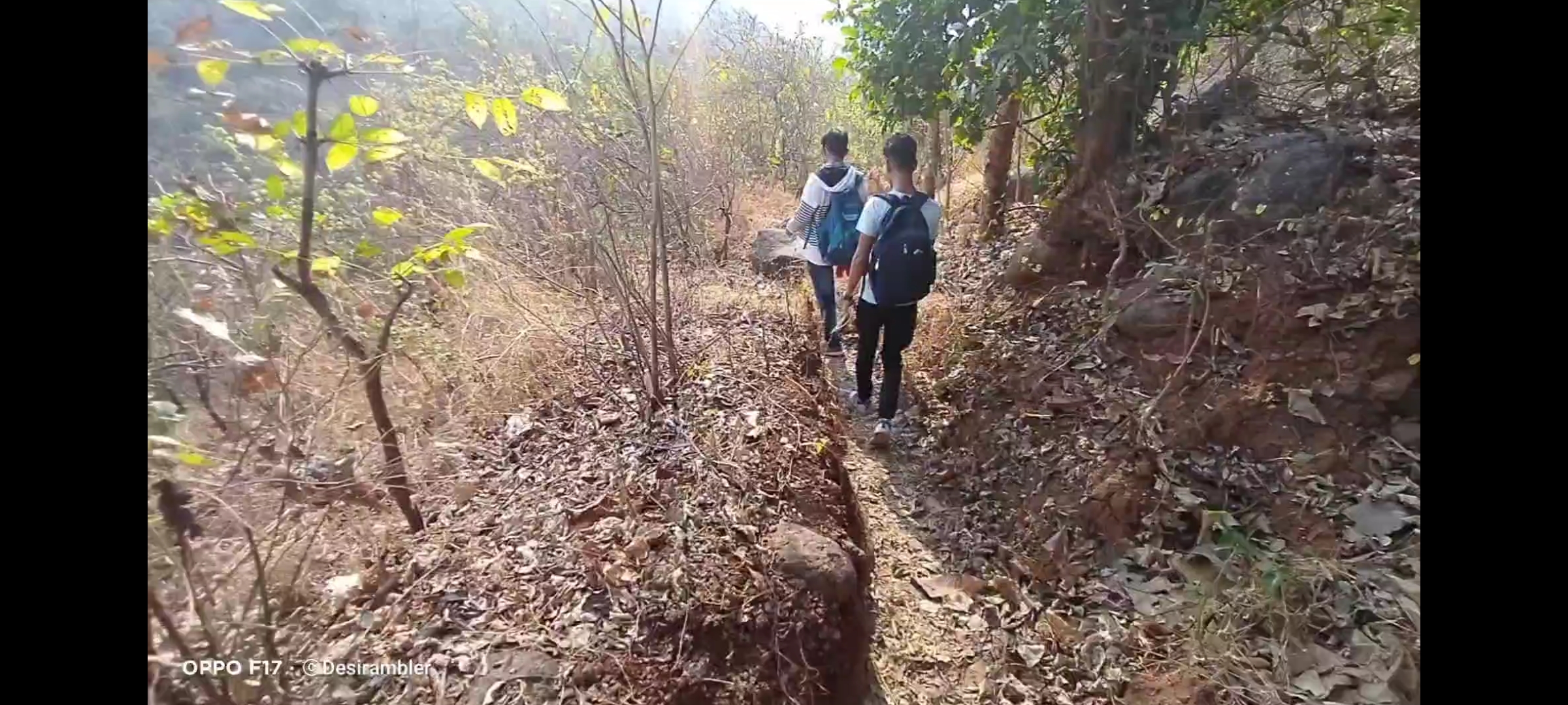
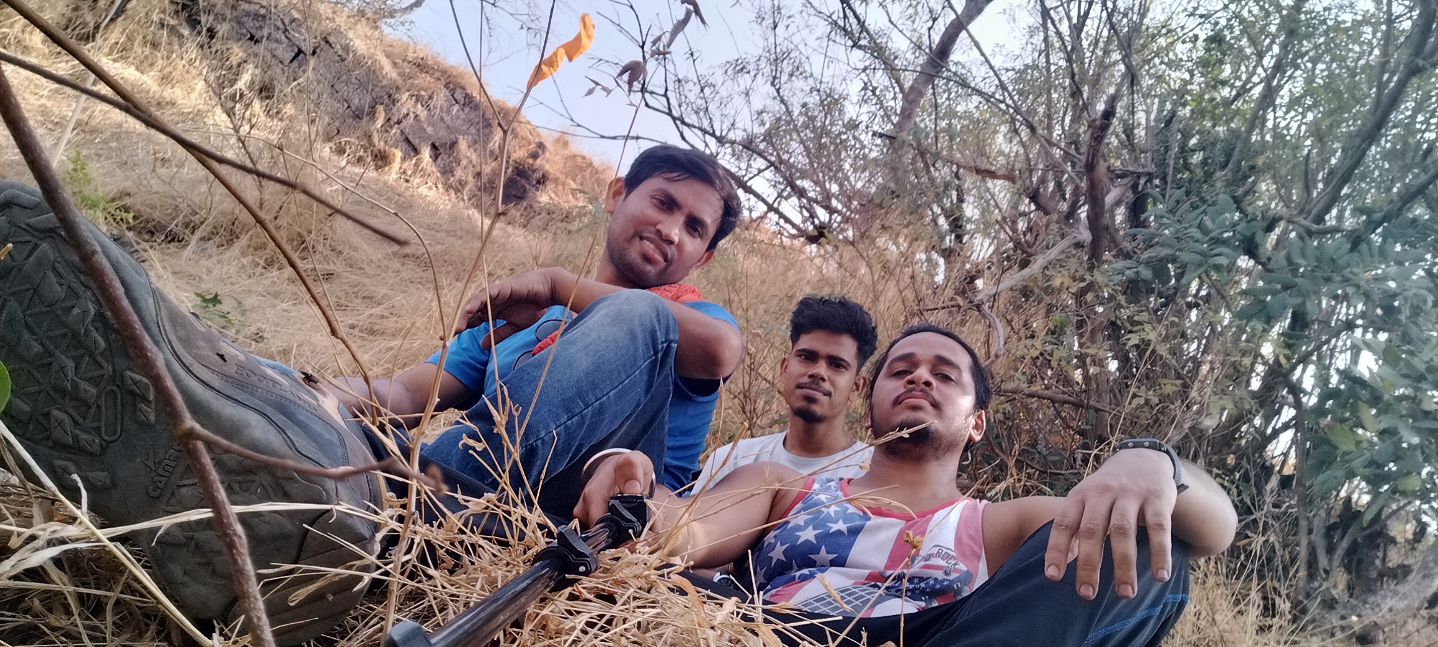
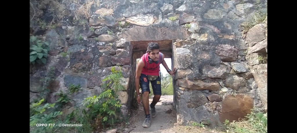
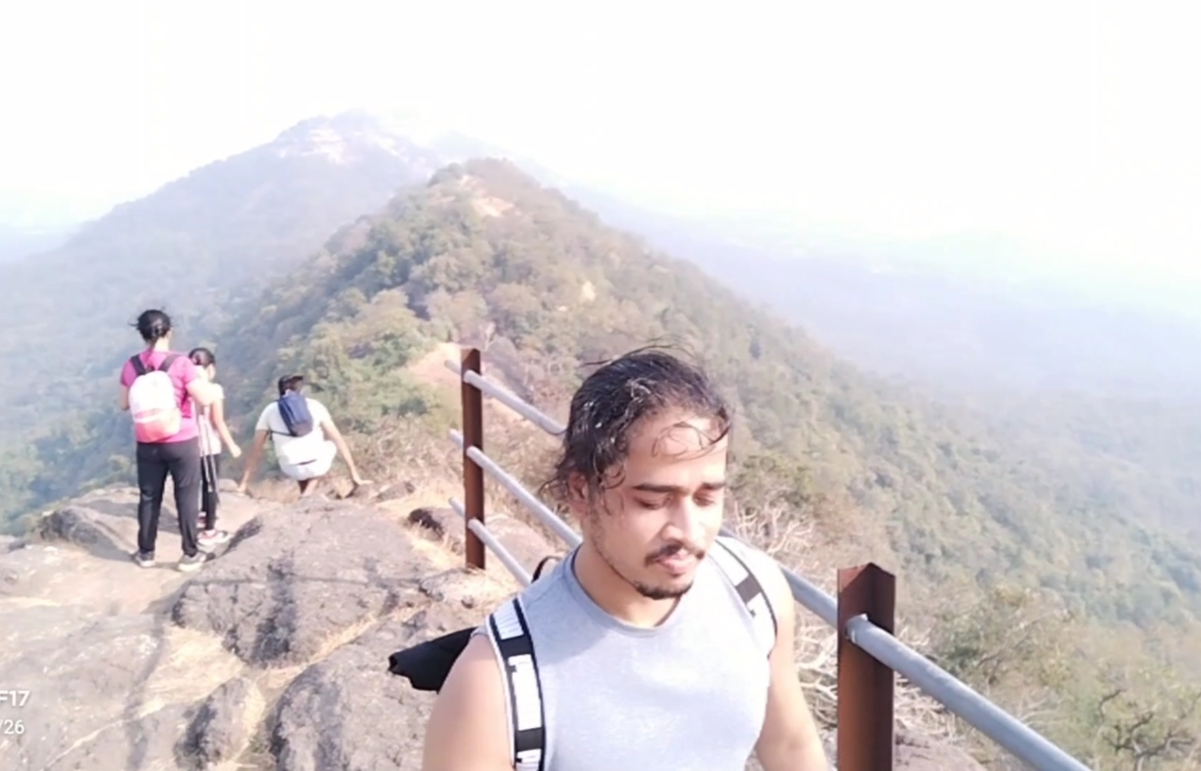
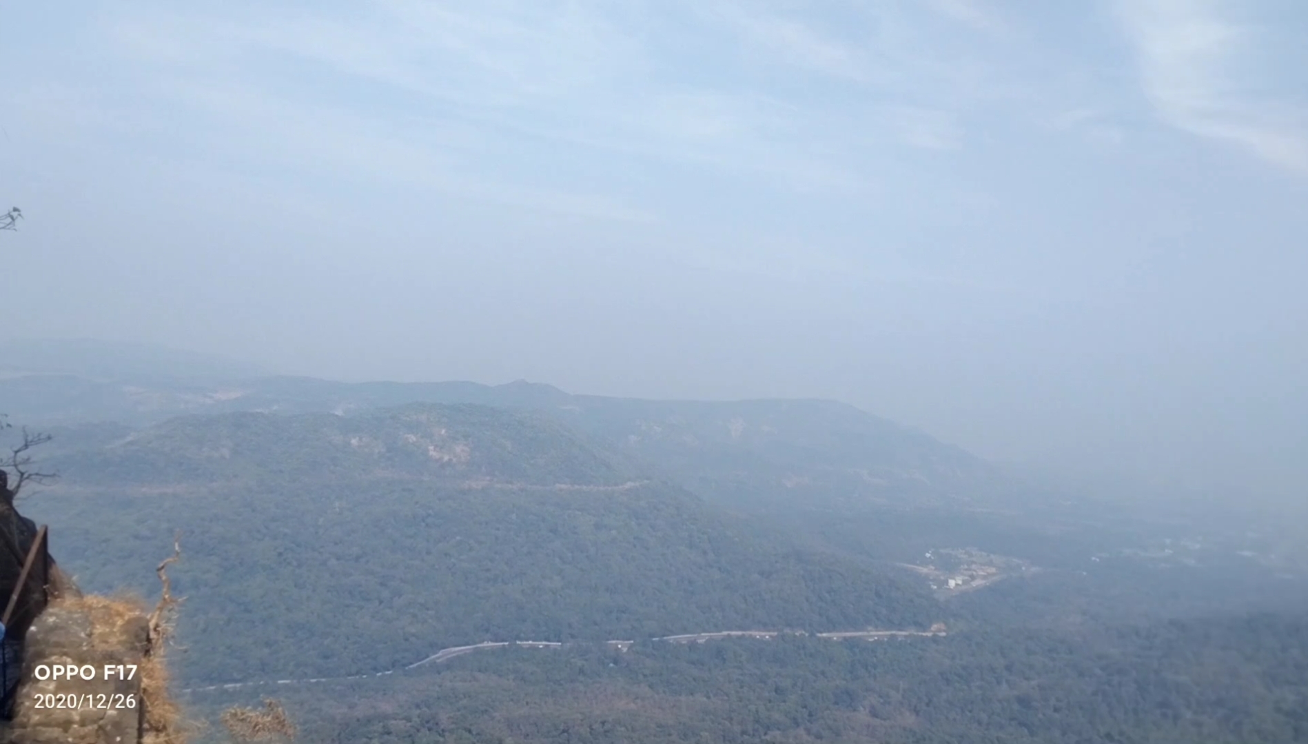
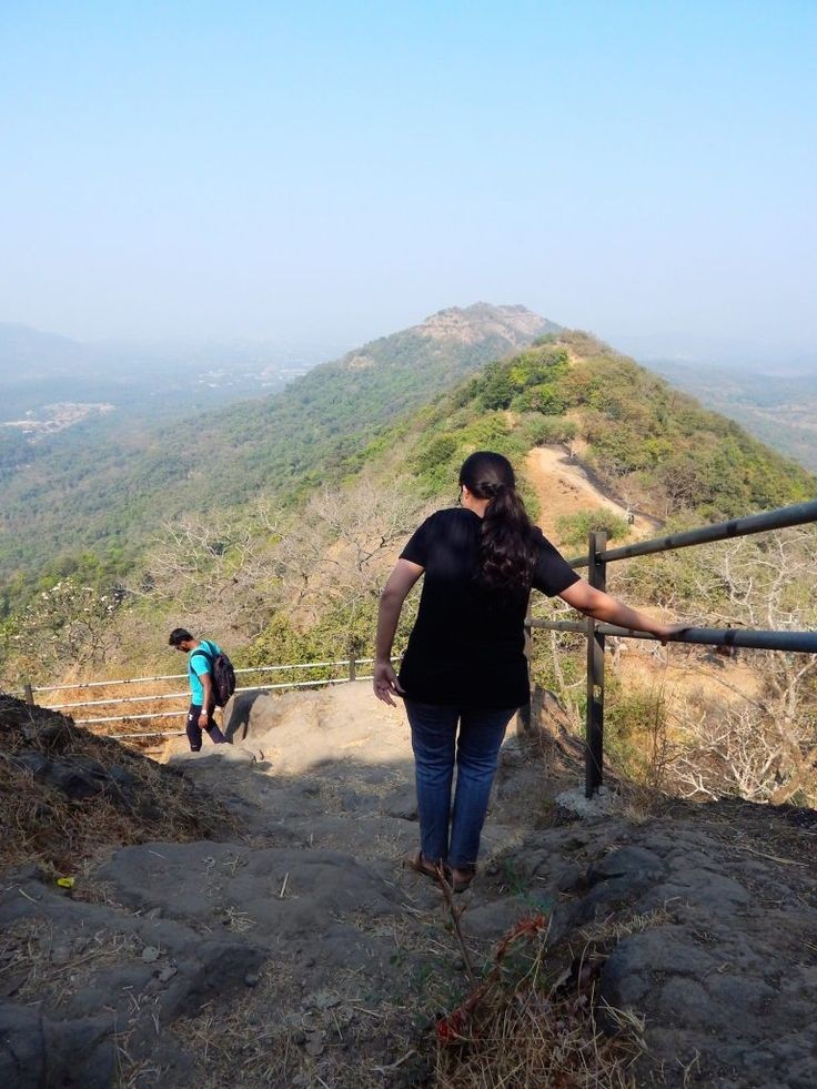
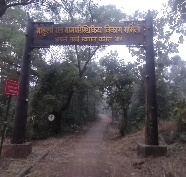
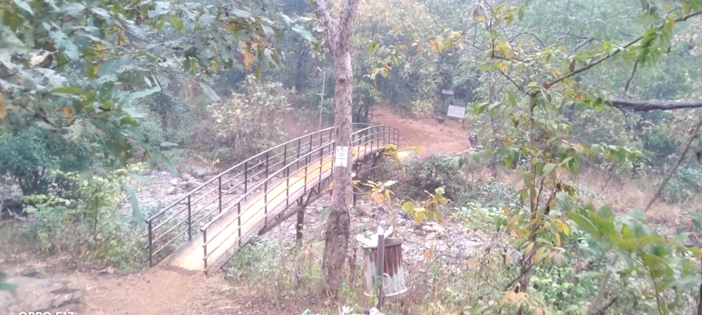
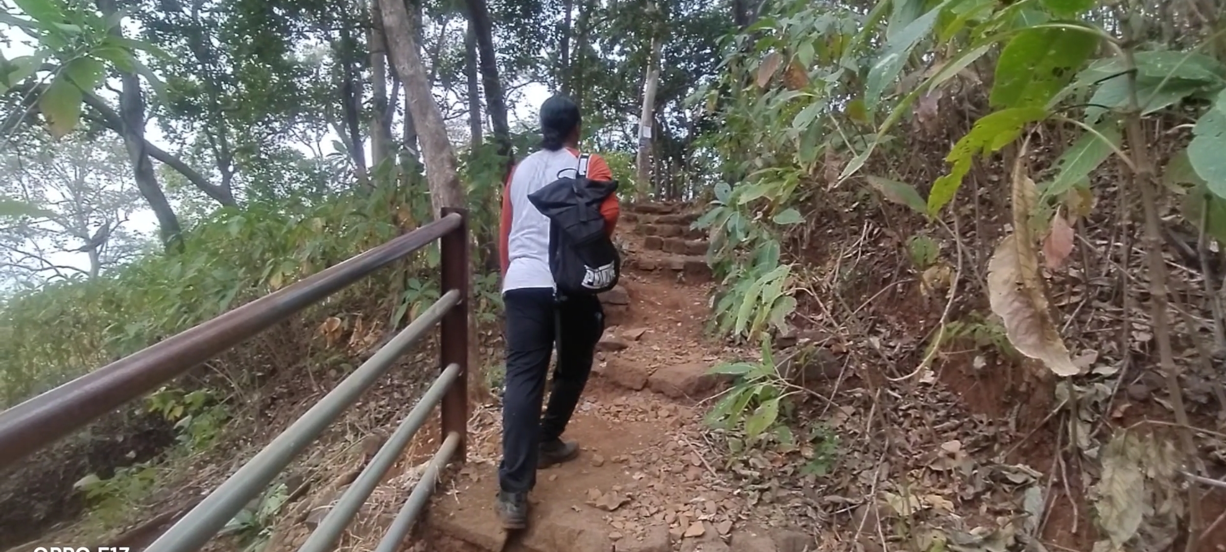
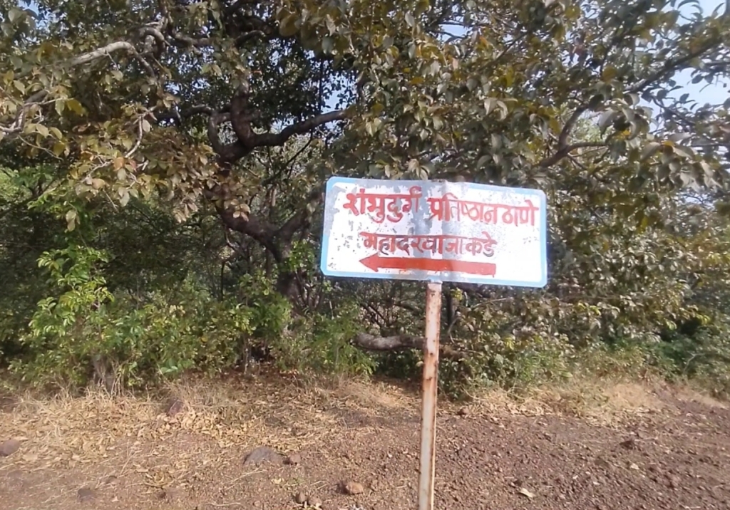
Started my journey to Asava/ Asawa fort which is situated in Boisar, Palghar District at 6:00@m early morning as I always prefer to go Solo but while watching my blogs and vlogs on my You Tube channel “Desirambler” they also came with me so the joy of Trekking gets more, it was and it is the time of Corona pandemic so there were few restrictions like lack of Road Transport and it was complete shutdown of Railway so Personal Vehicle was the best choice, 2 bikes for 3 person including me, our road trip started from the place where we met in Mumbai, as per the Google map it showed 2hr 36min, but with the descent speed and empty road we reached in 2hrs, the real confusion was to find the road to Fort through Village Warangade, it took 15 mins to find the actual way. we started our trail by 9:00 am after having breakfast.

You will find no parking facility near the fort, you can park bike or car in the Village on your own risks, we parked our bikes at the starting point of the trek which was 10 mins away from the Warangade Village, if you still got confused in finding the way through the village first reach near Viraj Industry which is the biggest industry at that place.

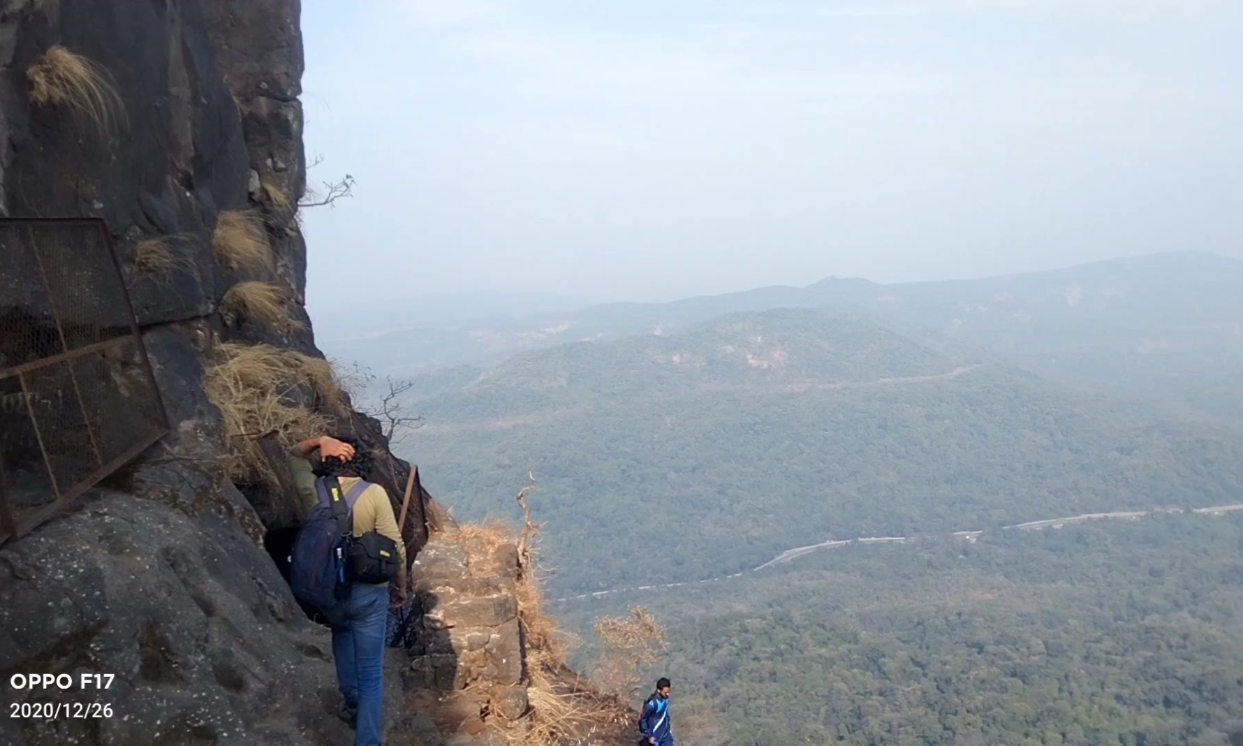
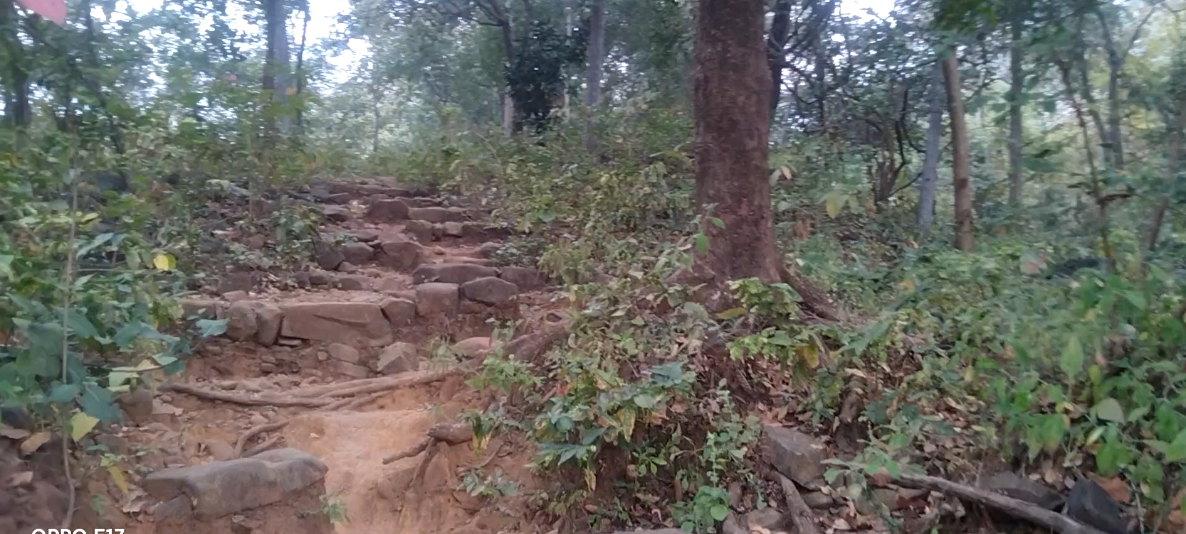
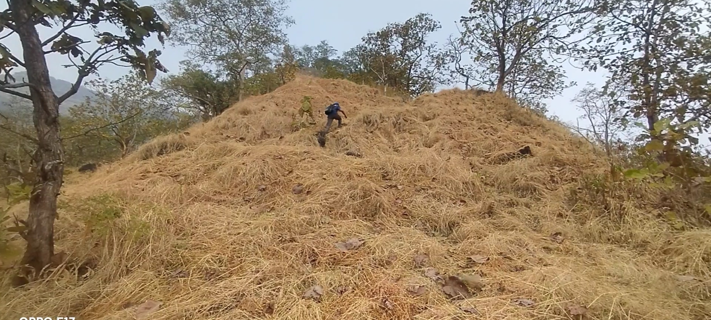
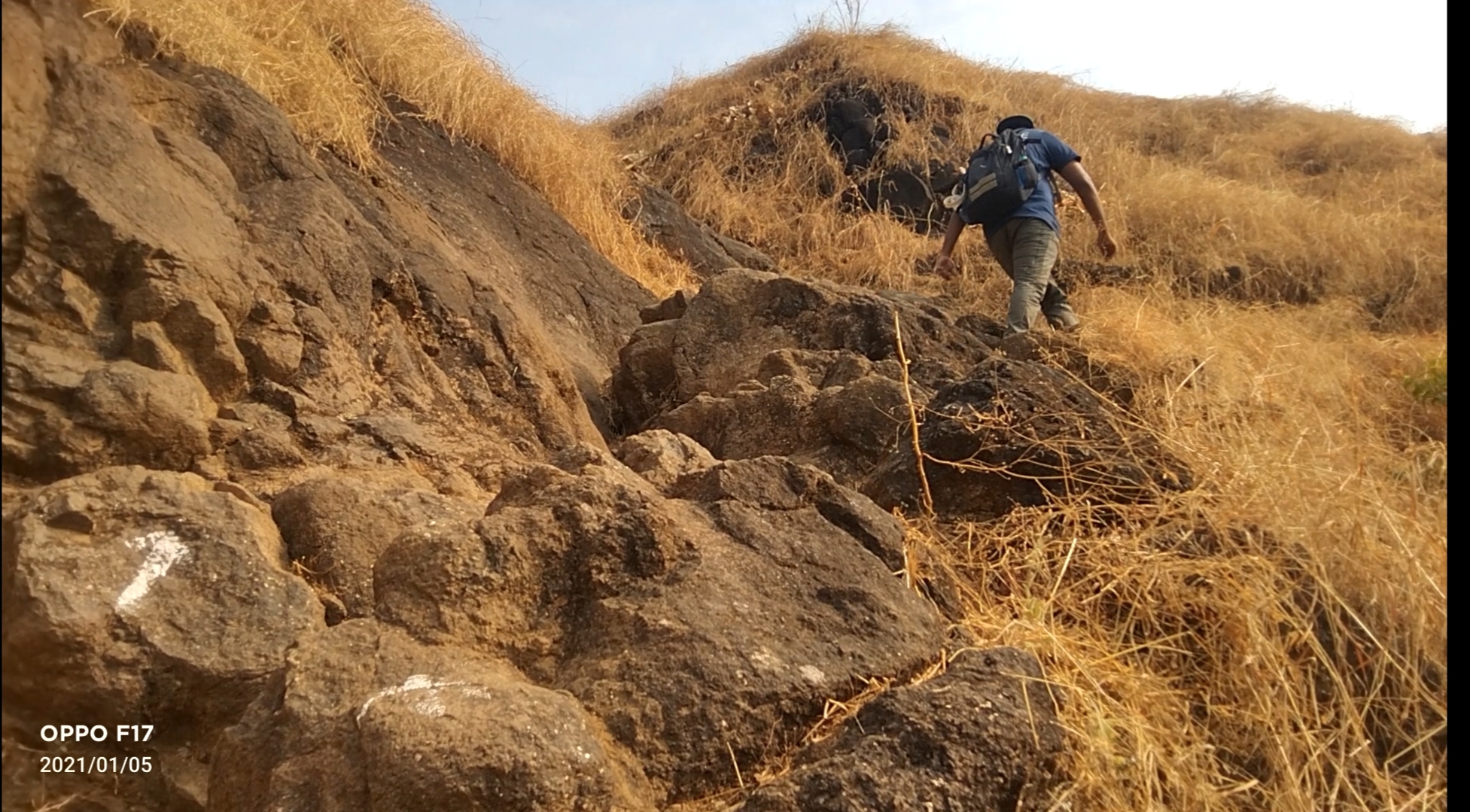
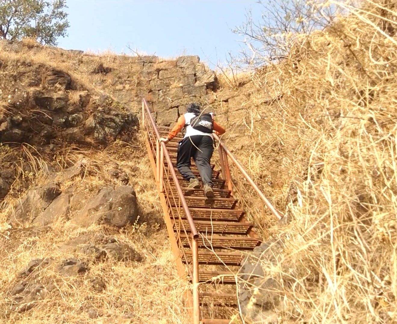
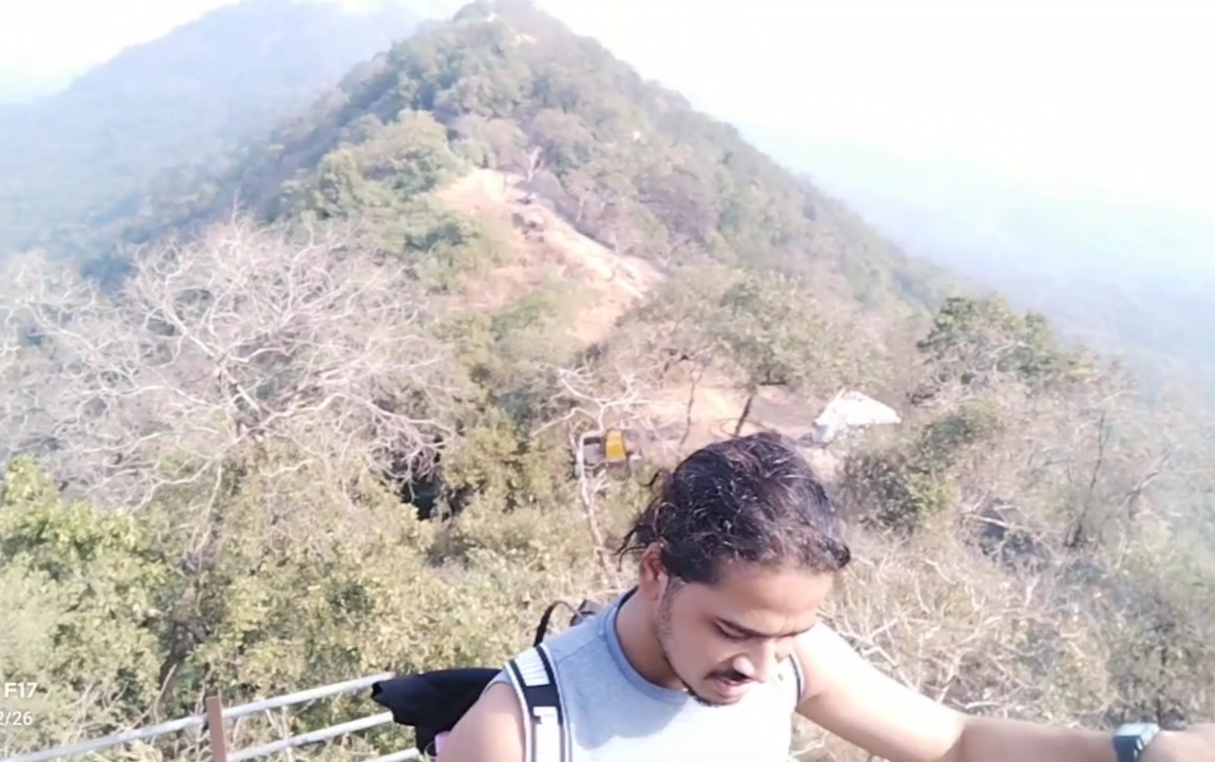
Don’t ever judge the difficulty of the Trek by its height, because I did so and got trapped in climbing the 2nd and final mountain by underestimating the way. as compare to my previous trek experience the climb was with rocks and the rocks gives legs support to climb, but at this fort the climb was full of slippery rocky way which gave our legs lots of tension to climb.
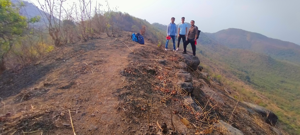
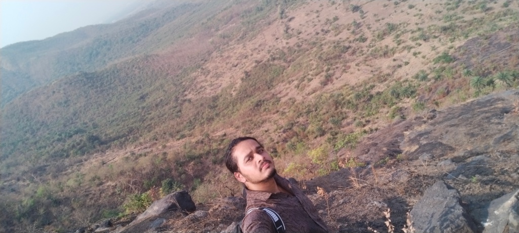
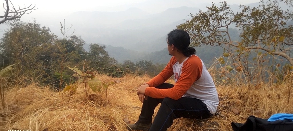
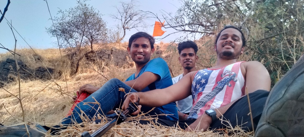
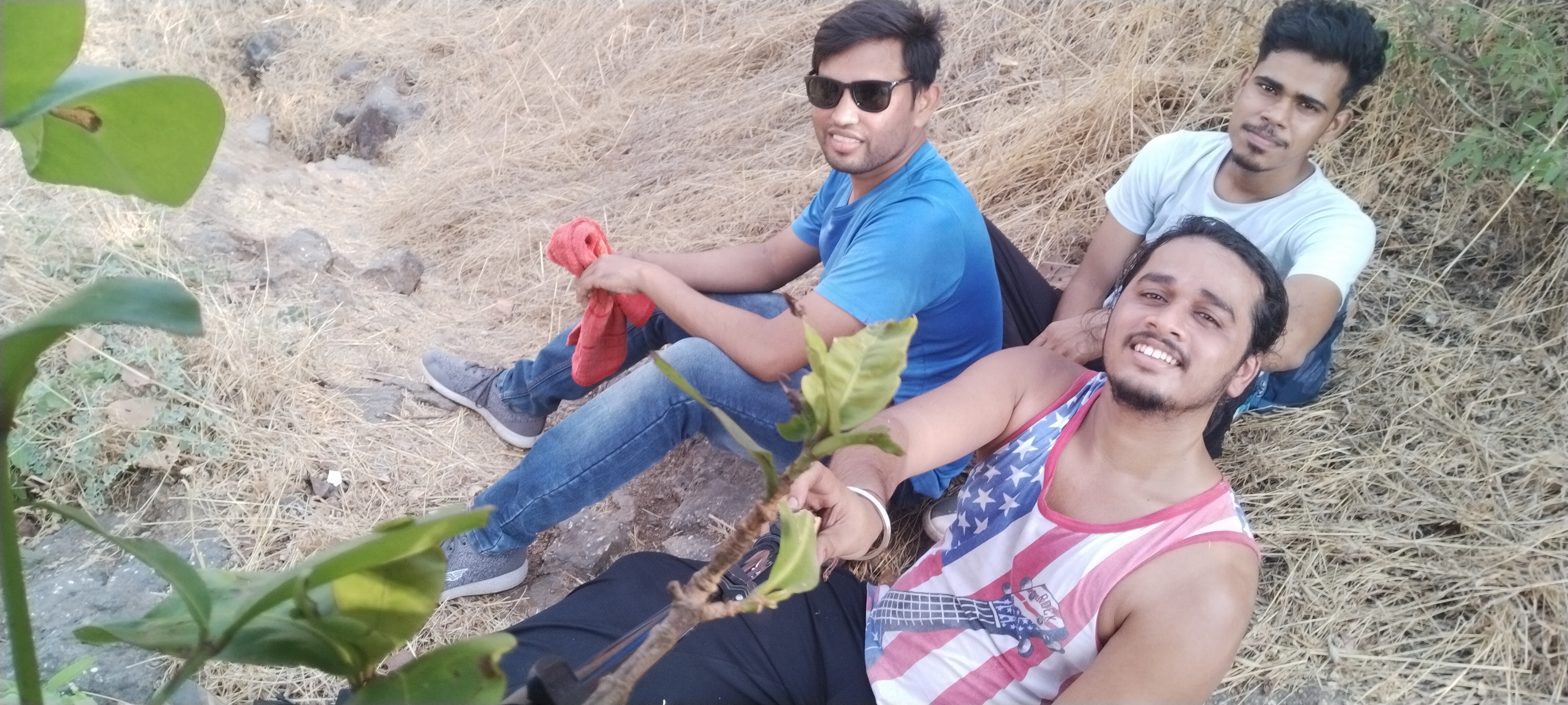
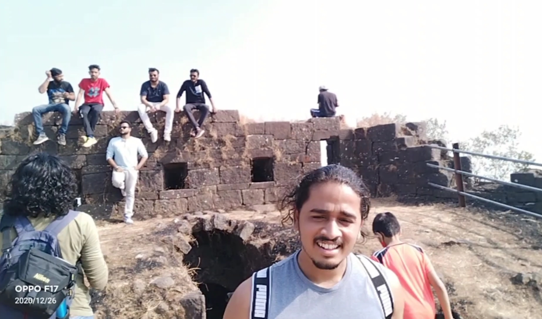
Me and my Frnds

Plz don’t forget to bring enough water bottles, I recommend 3liters per person and dehydration pills if possible, carry non oily snacks as I suggest in my every Trek, on the other hand no Stores for water and snacks in between the way, the trail is full of Woodland forest with no air flowing in summer,
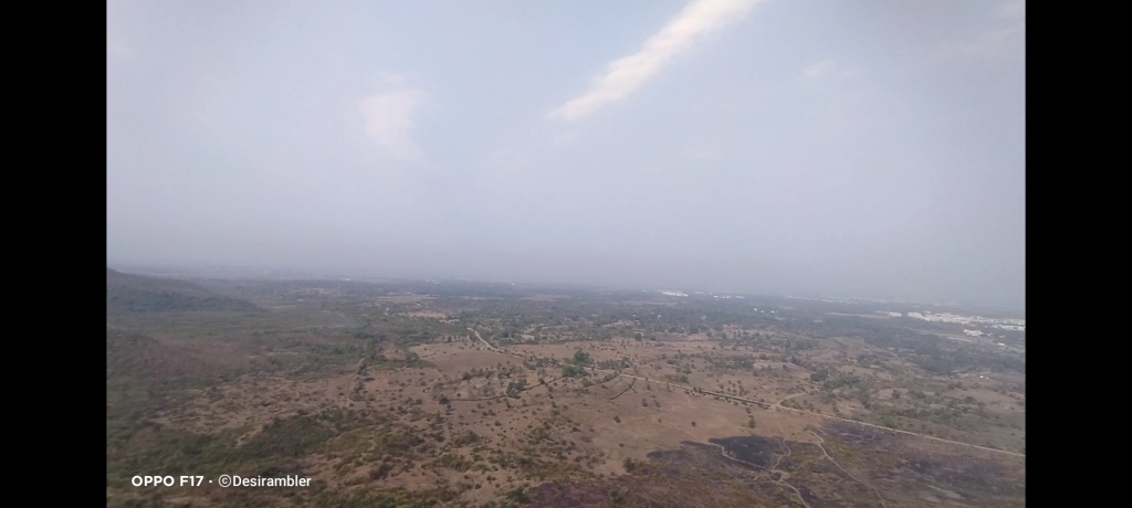
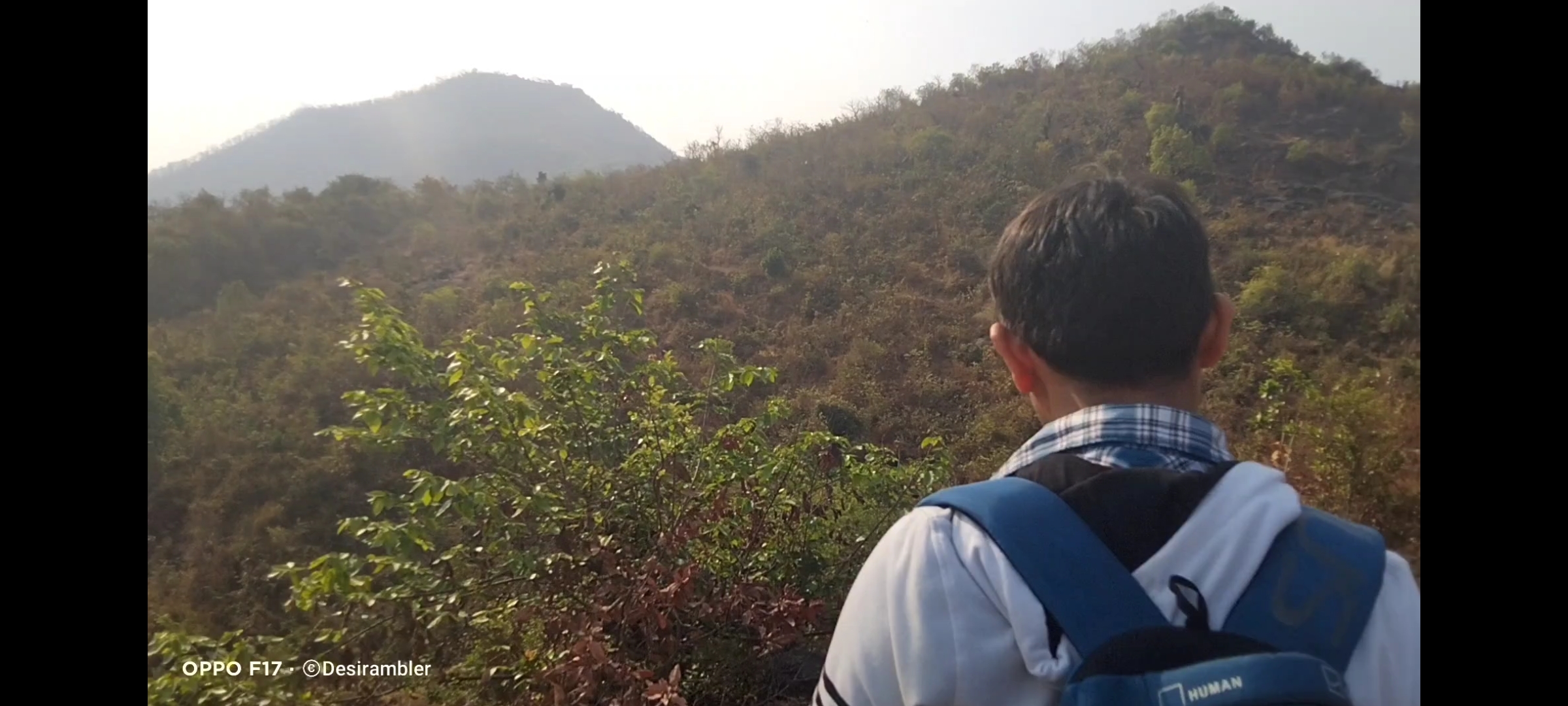
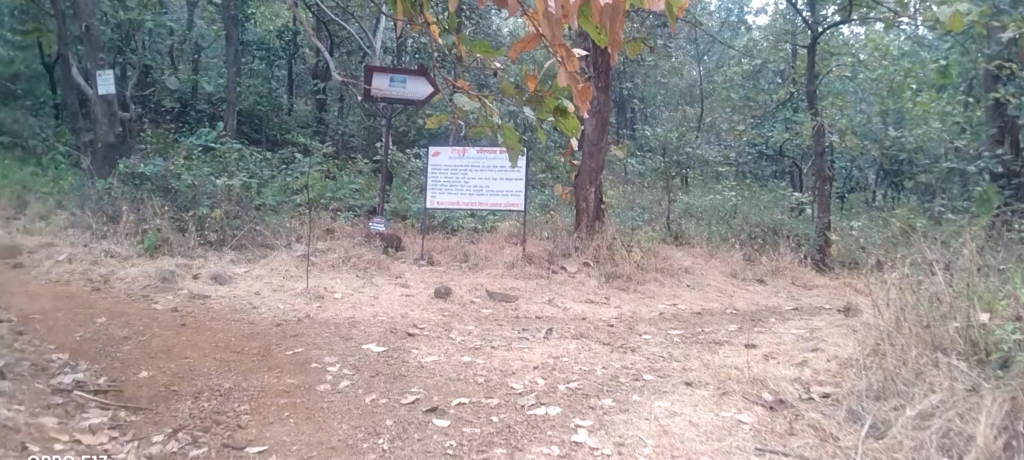
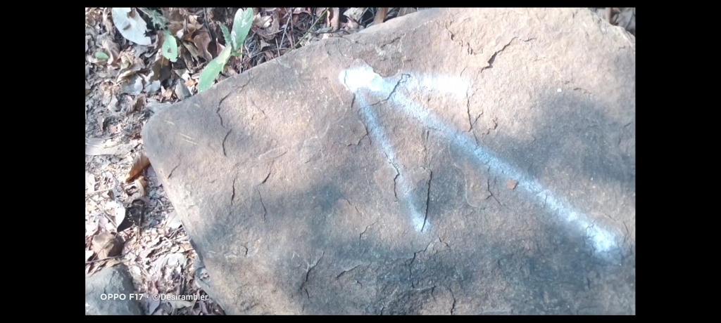
No chances of getting lost in the jungle because the villagers have marked arrow like picture on some countable rocks in the way to help the trekkers like us to find the route,
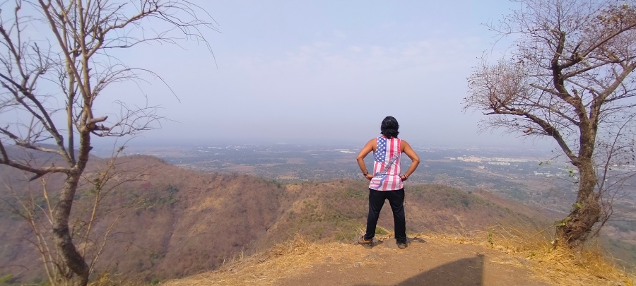
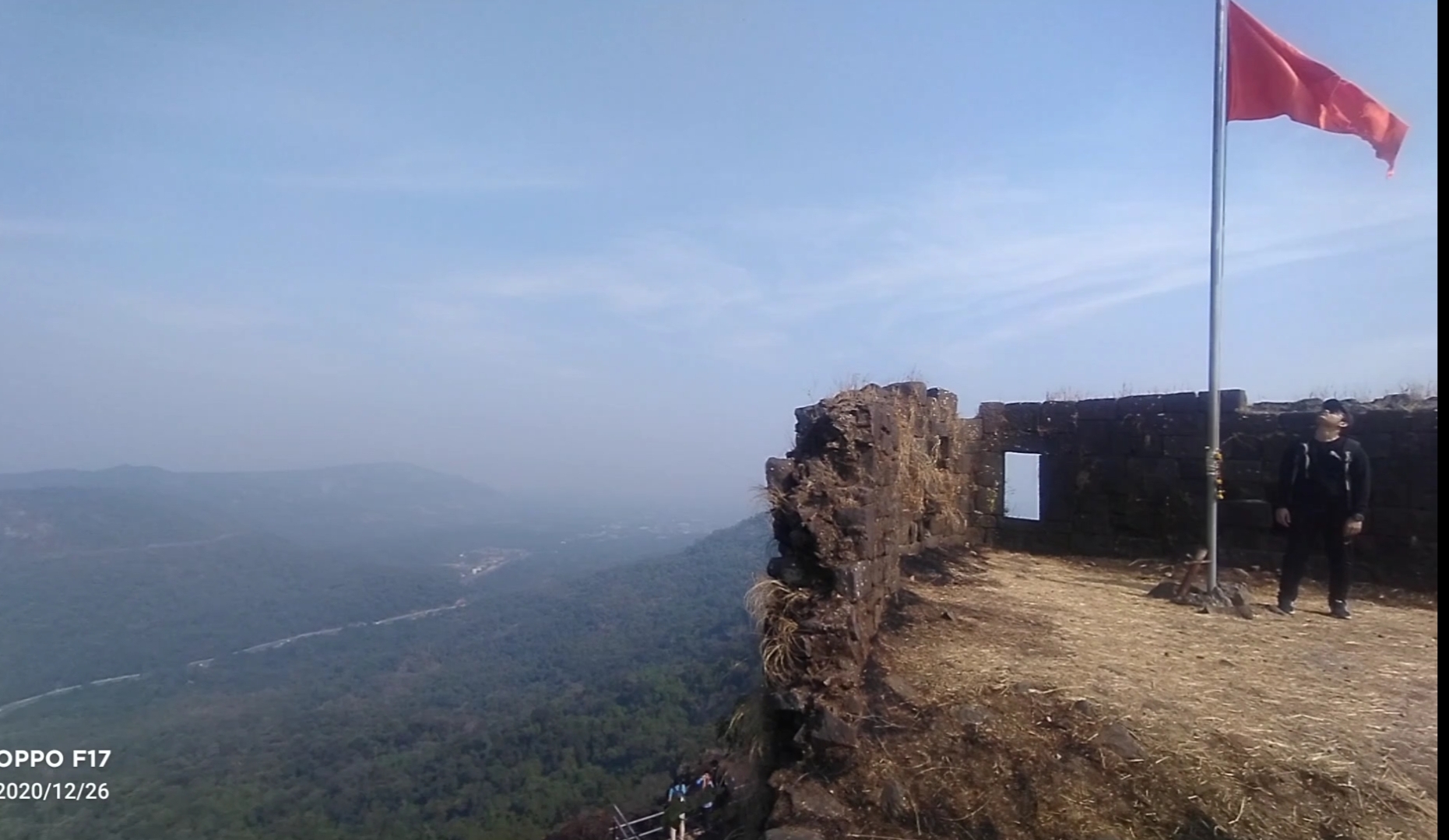
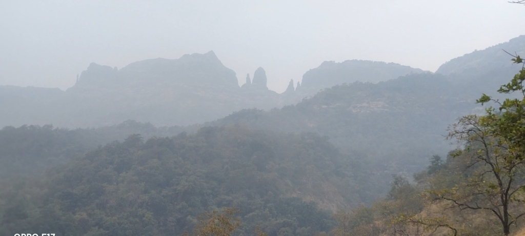
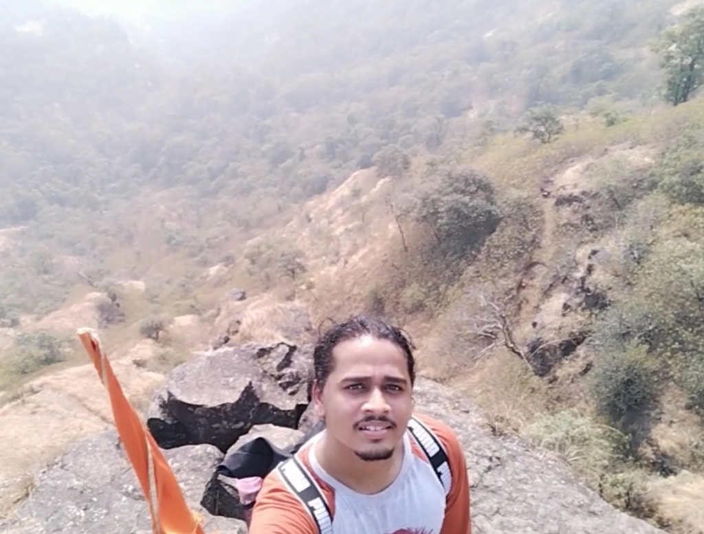
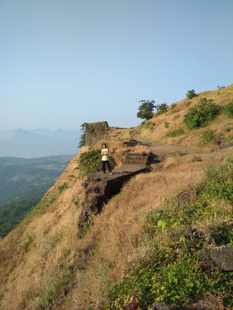
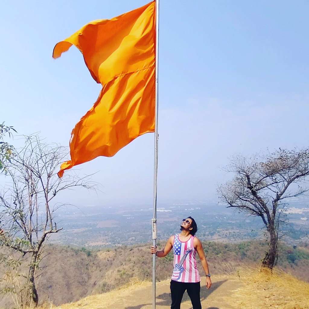
Me and my friends experienced a lot of humidity in the Climate, as i told you before there were no store in between the trail to buy water or snacks so i suggest to drink water sip by sip because the sweat i drained was incredible after 45mins of trekking my shirt was full of sweat so we decided to take our first break, i changed my shirt we had some non oily snacks and drank water our break last for 20 min which was a big one, now there was only on mountain to climb and this was the steepest one with slippery rocky way as i told you before, time comes when the climb becomes so hard that you lose self motivation and think of quiting the trek but you have to believe in yourself and keep trying look at th top the saffron colored flag and imagine yourself at that same place holding flag this thinking will energize your mind and allow the body to move forward, still 45 min still to climb after taking break, this time we found two local people climbing the fort as we were moving forward, as it was the occasion of Mahashivratri so they were going for worshiping Shiva Temple at the fort. They told us some interesting facts about the fort and some special places to Visit like the cave and the water stream which is 365 days of supply fresh chilling water as compare to us they lot more experienced in Climbing mountains because they were 15 to 20 years elder then us, i have always noticed that the final 100 steps remaining are the tougher steps to Climb.

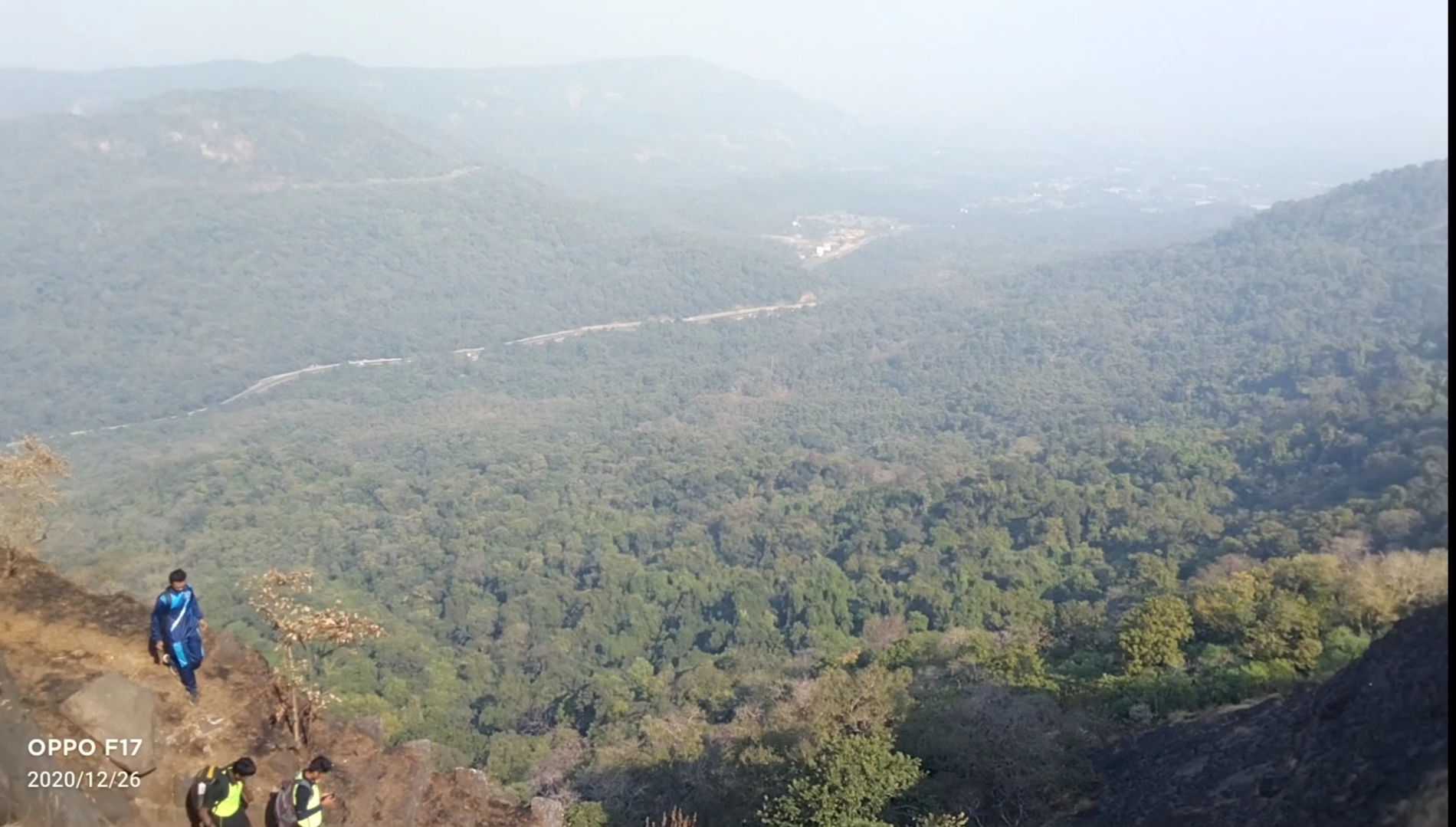
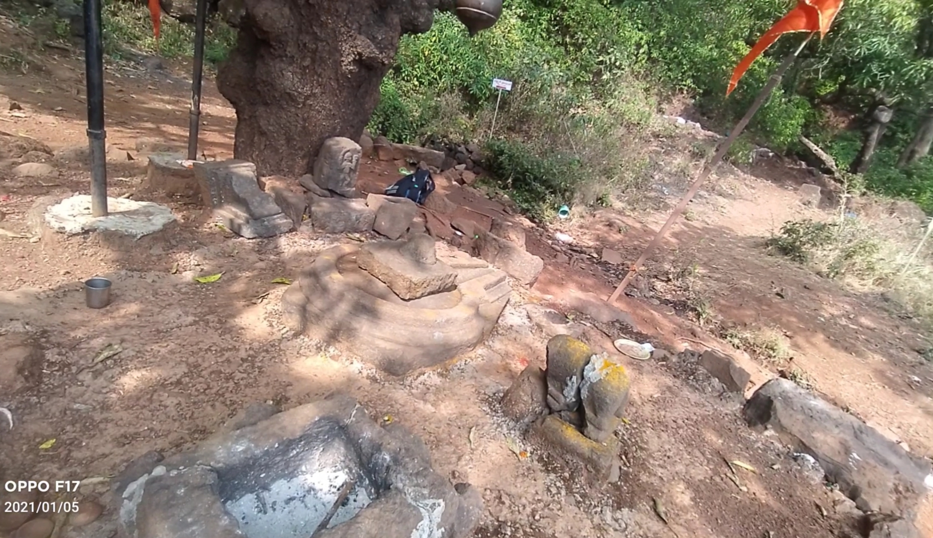
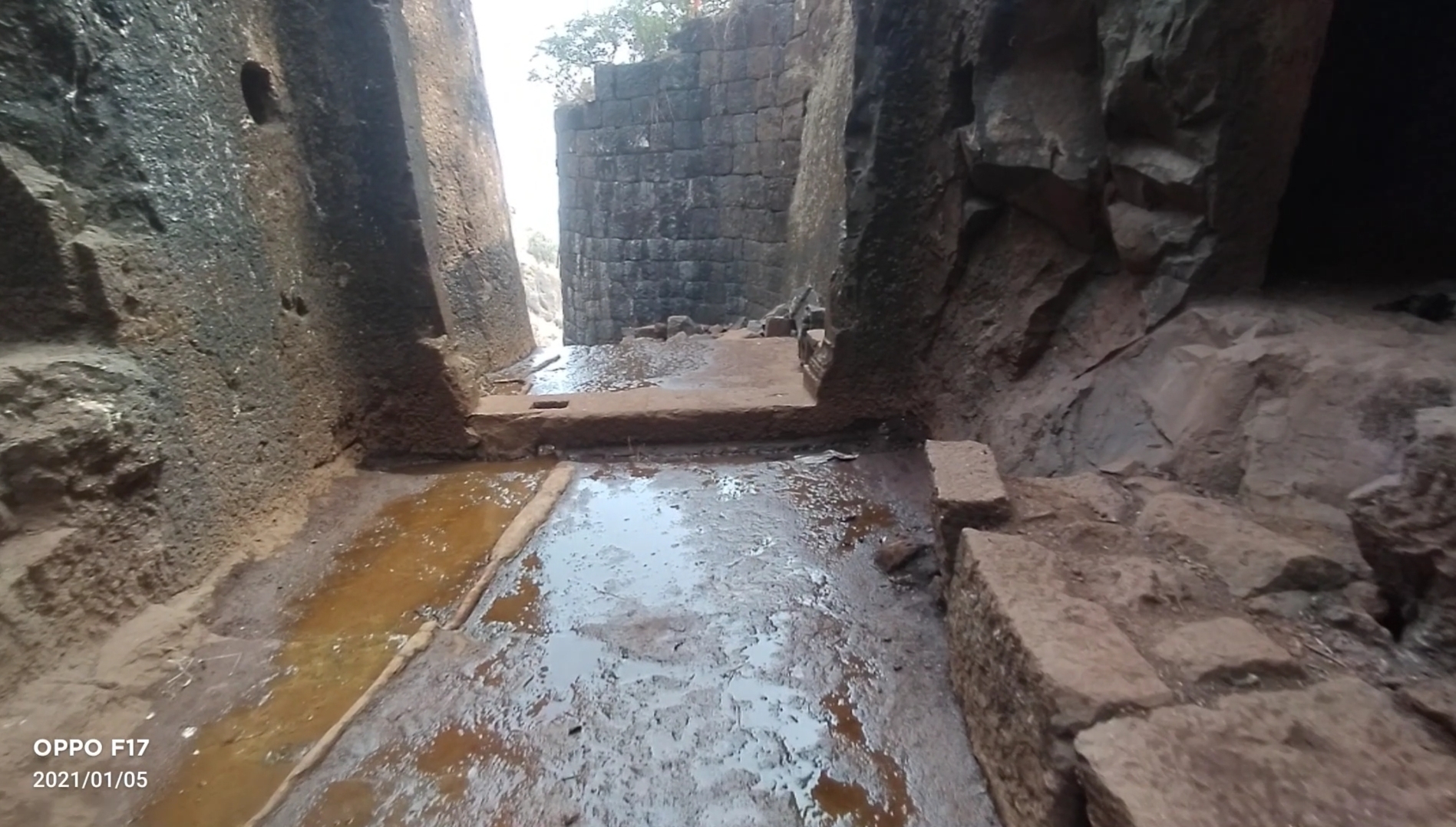
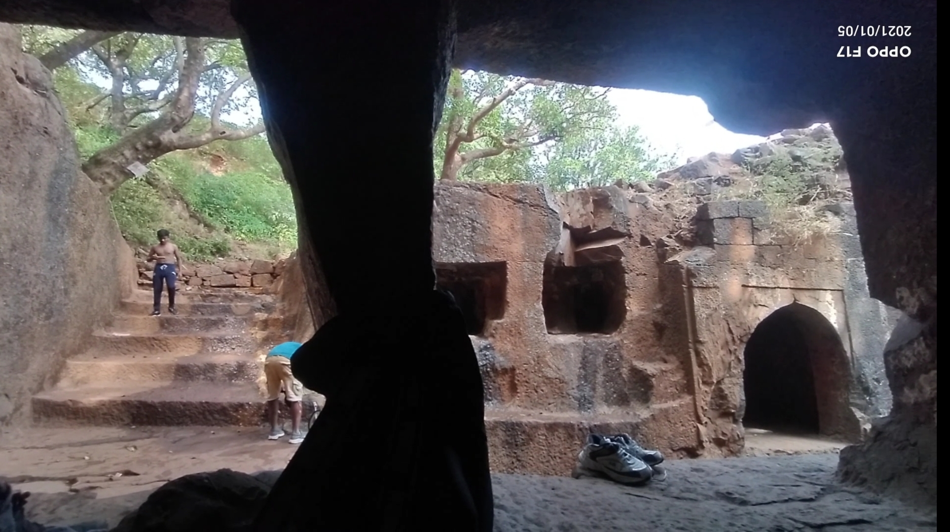
Below are the few pics clicked inside the fort
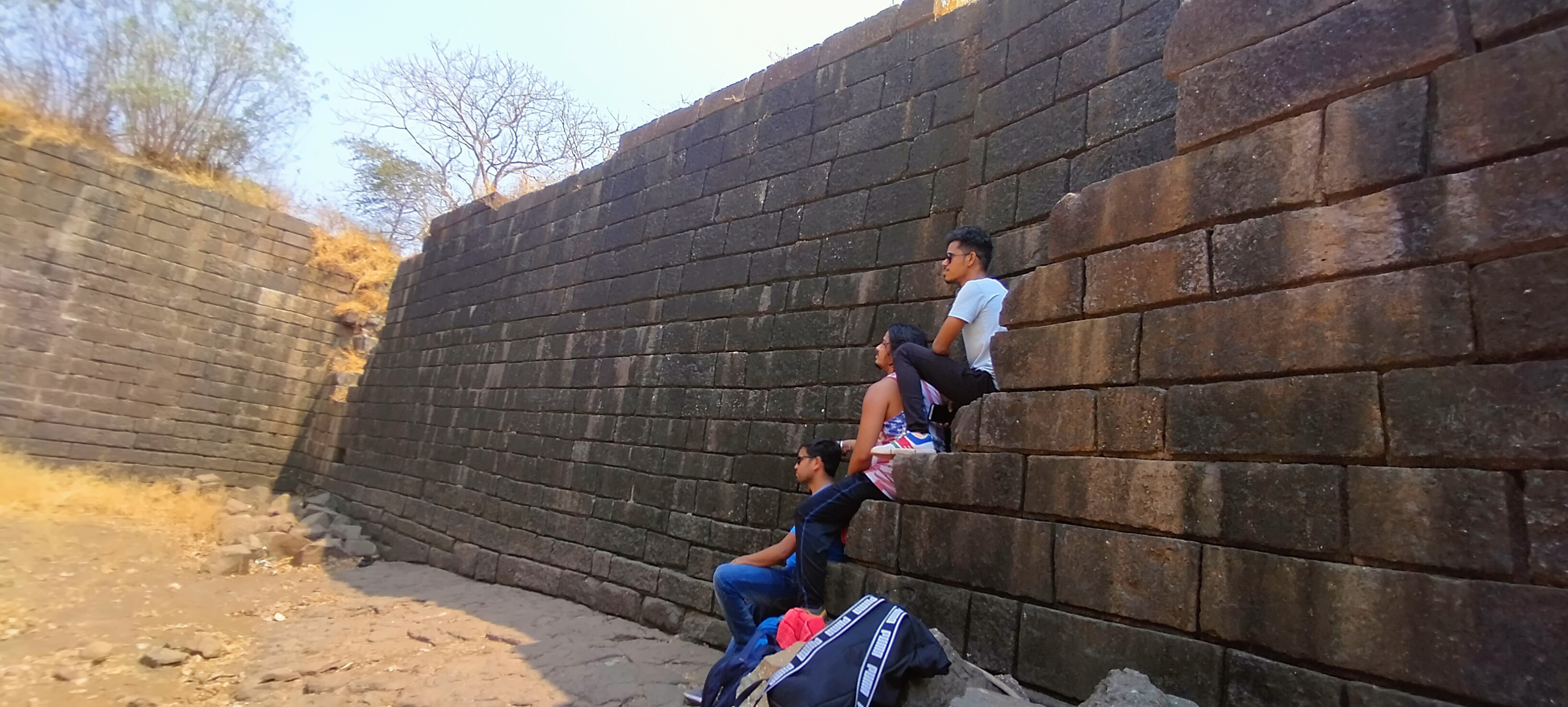
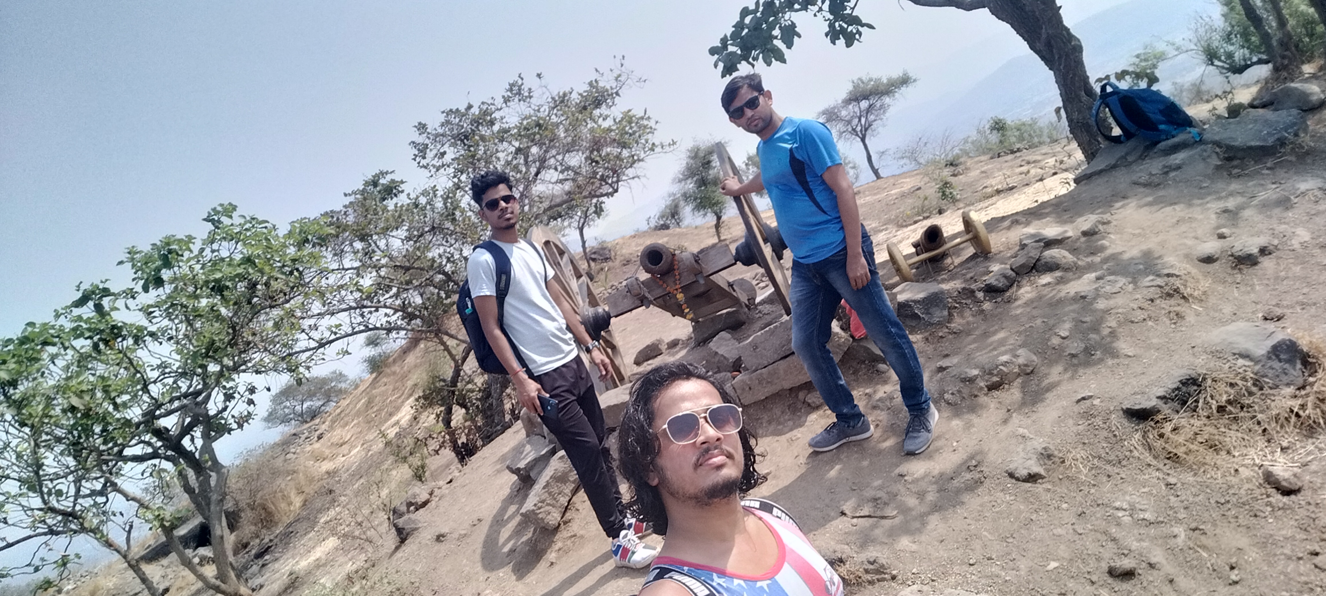
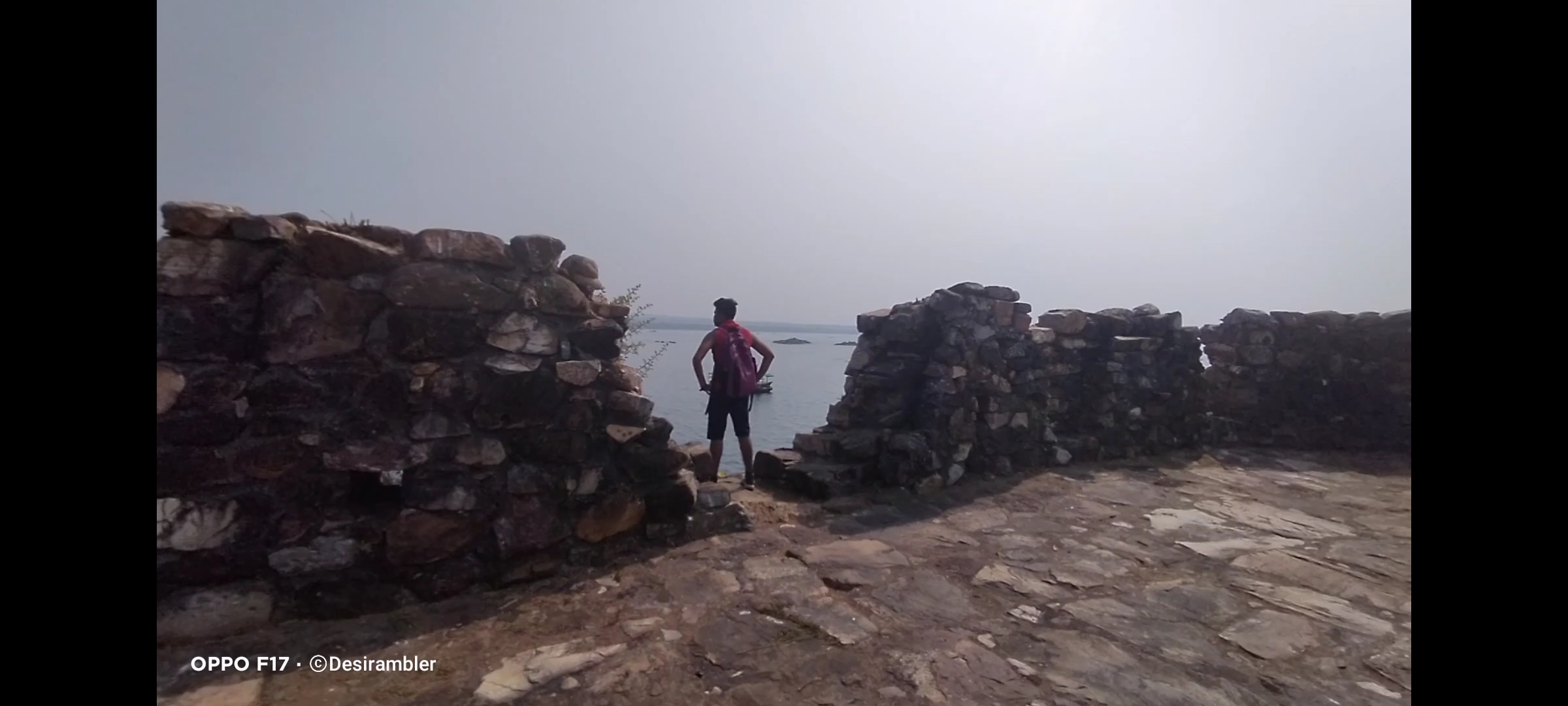
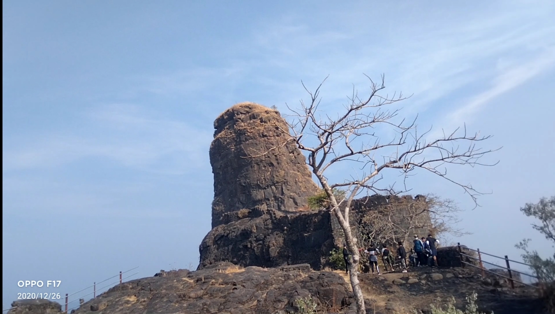
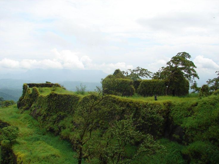
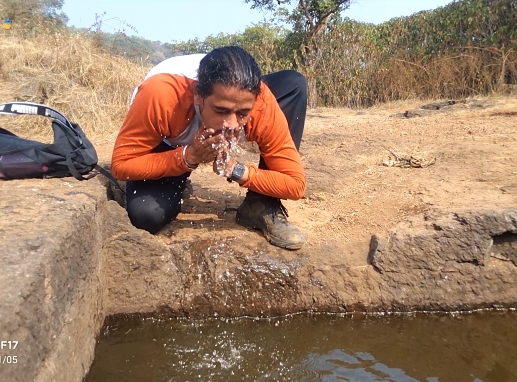
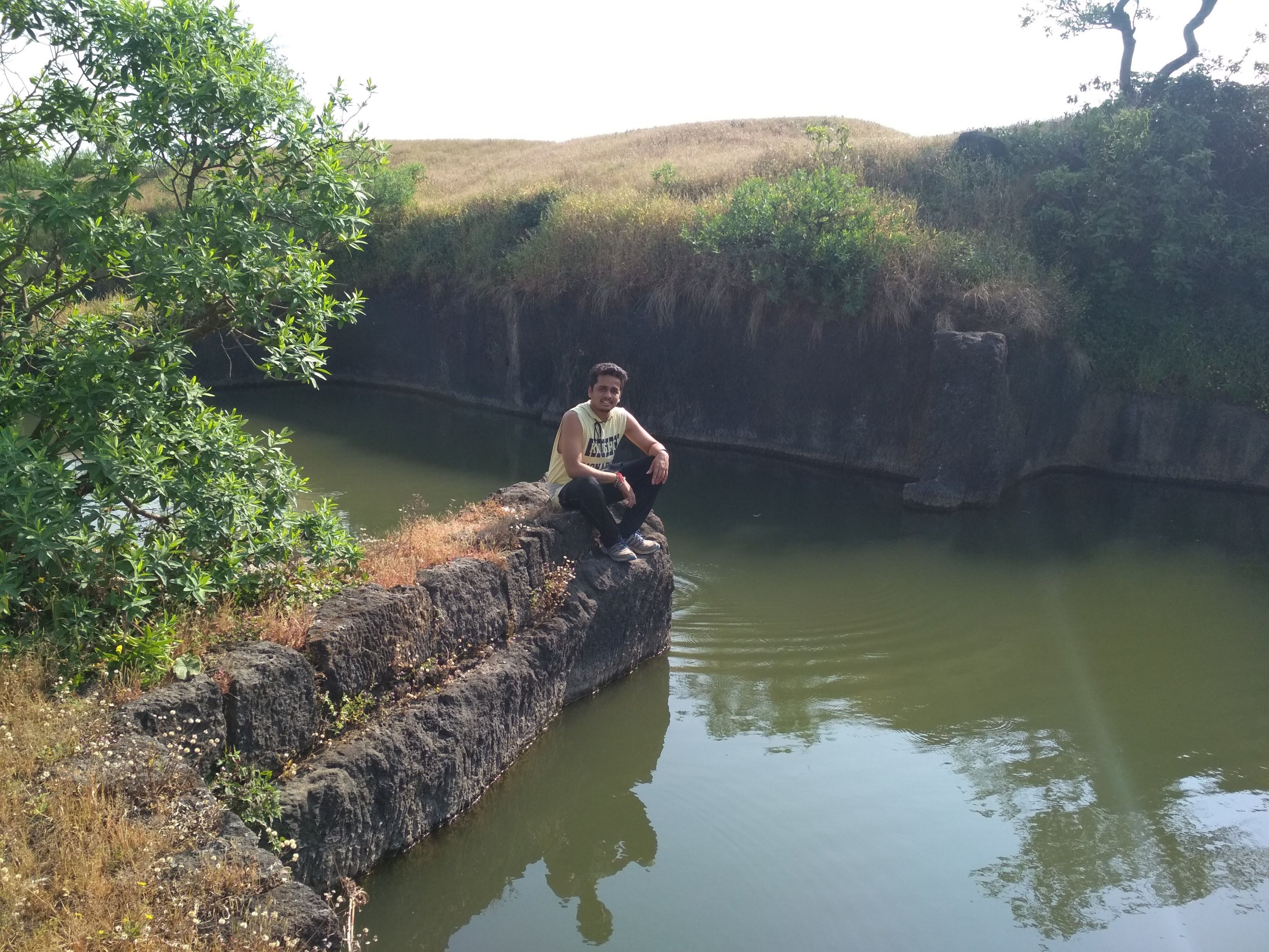
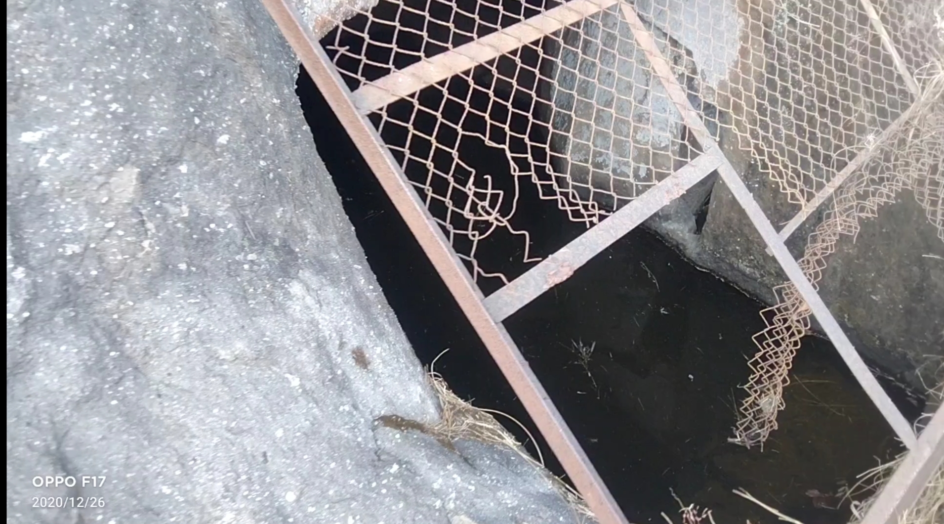
After reaching the top i saw that this fort is not big enough to roam and take rest as there no place to rest Like other big forts Like Mahuli, Sindhudurg fort and Prabhalgad, we decided to take to walk around the fort to see what it has like we found 4 water tank of which 1 was huge as you can see at the below picture and small Temple, small cannon many of the monuments was flushed away due to heavy rains and also no protection facility made by Government to protect it. the cave ans water stream as i mentioned was build in between the Climbing way but at the other side which was impossible to descent and Climb again because there is only one way to exit the fort if you are First time trekker at this fort like me, we spend 1hr at the fort at the raging sun was on our head which made us exhausted and Hungry, started our exiting way as soon as possible because our water supply was going to end soon, it was much difficult to go down because there were no support of rocks or any tree and the way was too steep, if unfortunately some thing happens and we slide down it could hurt us Badly. in 1 Hr we reach the start point and exited the place in hurry because we all were starving like hell.
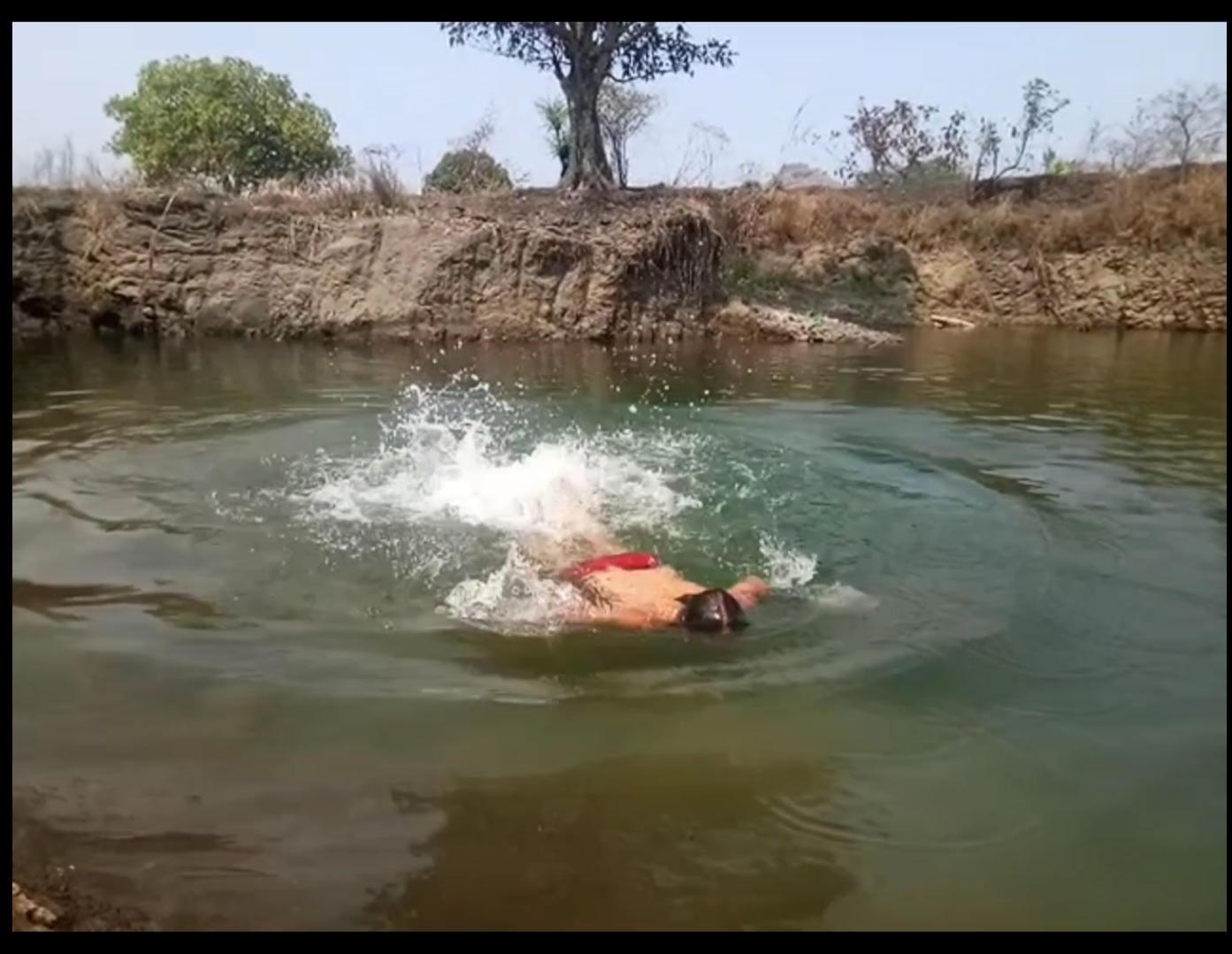
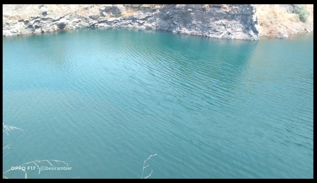
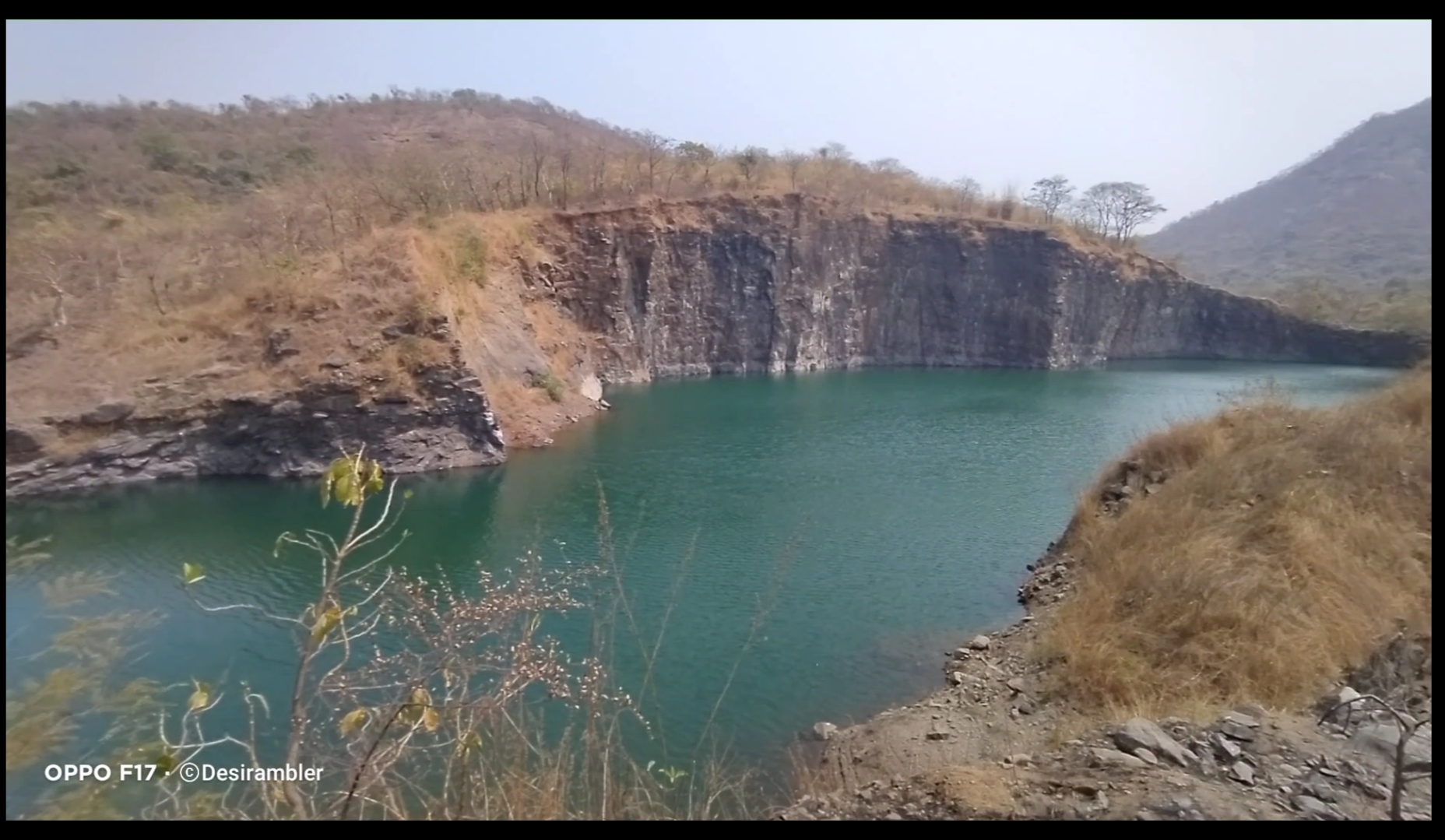
In between of the road we found a place which was amazing to watch and even to swim the best thing I do. It is the place where the rain water had been stored limitlessly.
To watch my full Experience video visiting Asawa fort click the given link below.

Thank you for reading My blog,

To support me Please like, comment, share and do follow my website.

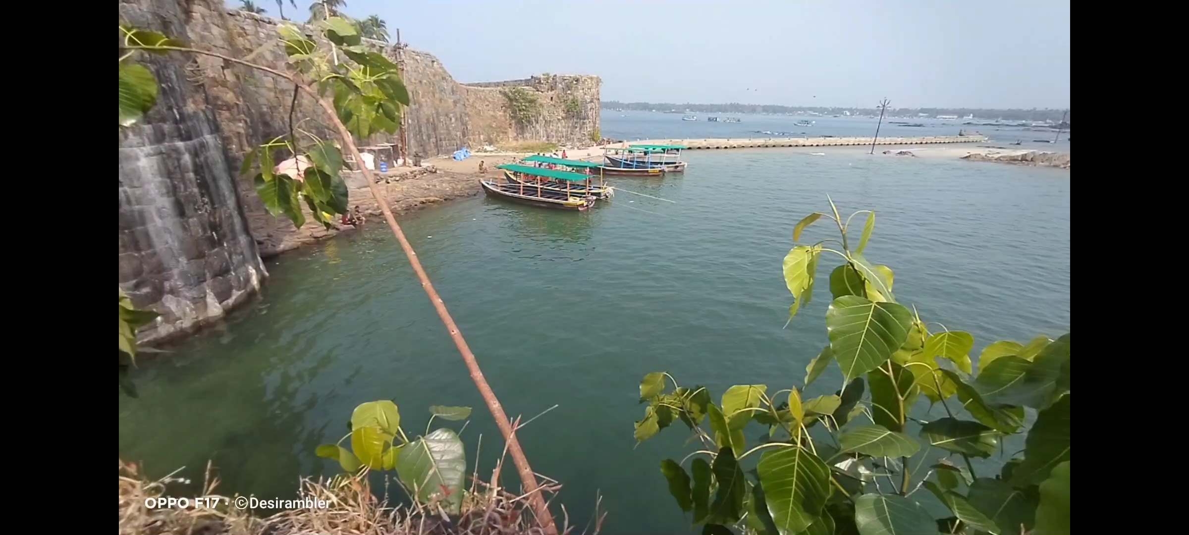
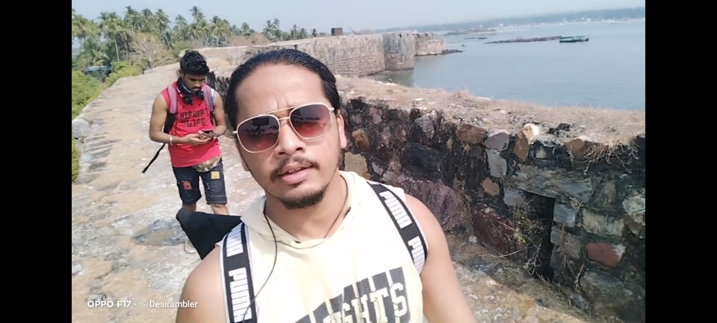
Sindhudurg fort”Malvan Killa”

To watch Full video on Sindhudurg fort click the link below………… https://youtu.be/xvH3G3tvDJM
https://youtu.be/NLrqsC7V0tY

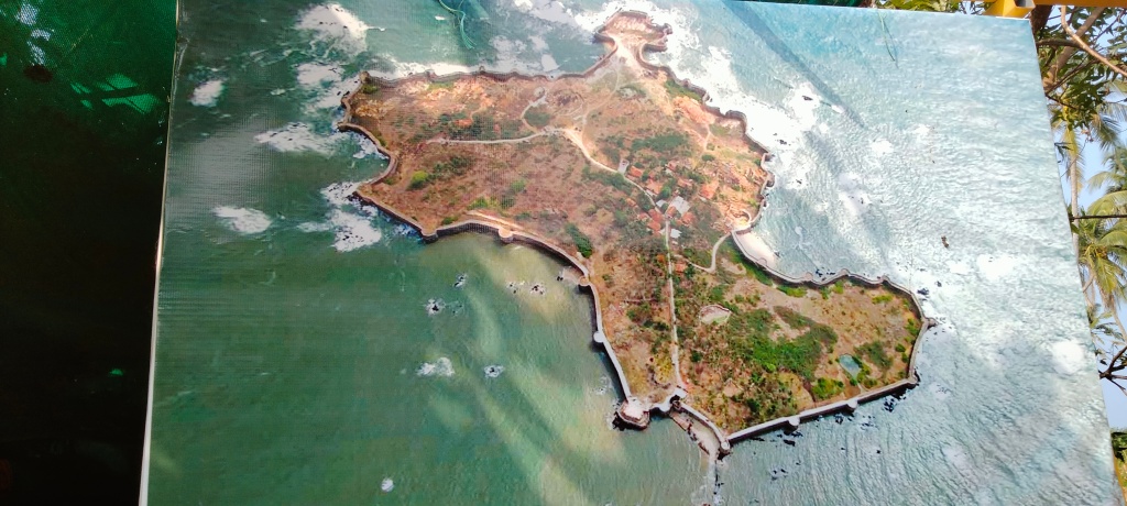
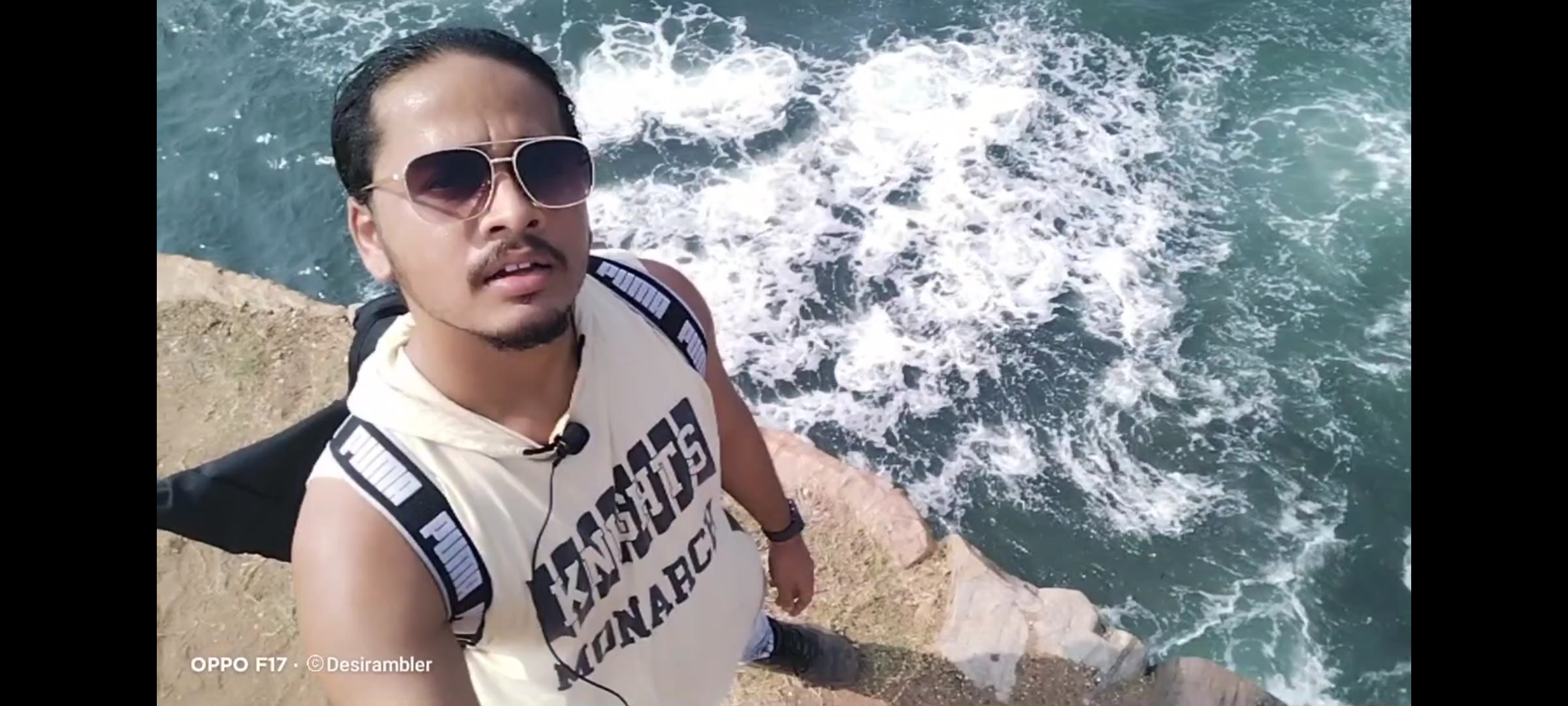
Malvan Fort Bird eye view

Fort Info

Name:- Sindhudurg fort/ Malvan Fort

Place:- Maharashtra, India

Controllers:- Maratha Empire/ Government of India

Area:- 48acres

Overview

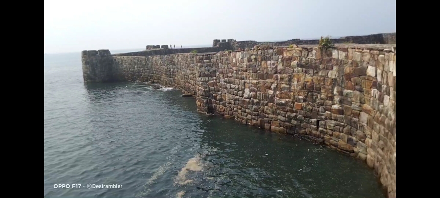
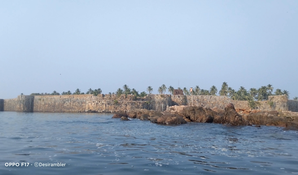
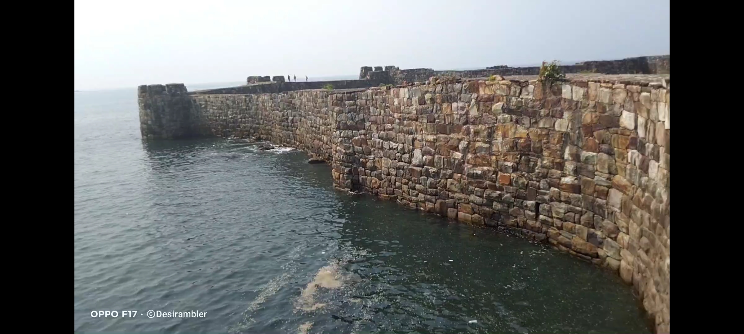
Sindhudurg fort took around 3 years to get complete (1664-1667), it was built with the help of 200 Vaddera people, by using 4000 pounds of lead in casting and foundation stones were firmly laid down. The total area of the fort is around 48acres, along with 2 mile (3km) long rampart, the protection wall surrounded all over the corners of the fort is 30feet (9.1m) high and 12 feet thick. The walls are made in such a way that no one could pinpoint it from outside.

Sindhudurg fort

How to reach

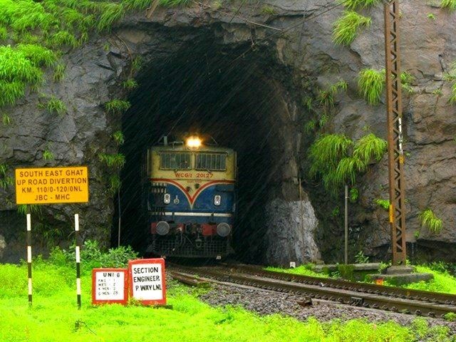
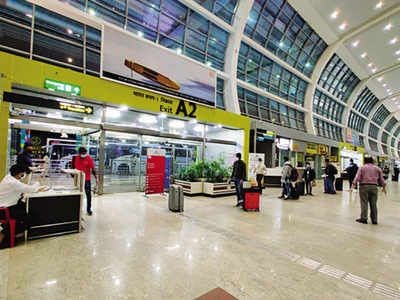
If you are starting your journey from Maharashtra or from any other state the place you have to reach is Malvan it is very famous city in Maharashtra specially known for the Tourism’s, if you are planning to travel by Train the nearest Railway station is to reach is Kankavli by Konkan Railways, after leaving the station you will find many options to reach Malvan, like Auto-rickshaw, St bus and Six seater or even you can prebook the pickupride from the Hotel in which you are going to stay if the service available, and the nearest airport is Goa Airport after that the same options as mentioned during railways.

Konkan Railway
Goa Airport

Personal Experience

I was enjoying my Konkan region trip in my Village named Apaiwadi, Munge for 4 days, Sindhudurg fort was in my plan list, so the day came on which I was going to Sindhudurg fort I started my journey from the Village known as Munge village, I had company of my Younger brother Nirav we had to catch St bus from the Village High School known as Bhagwati High School at 8:30, it took 45 mins to reach near the Malvan market.

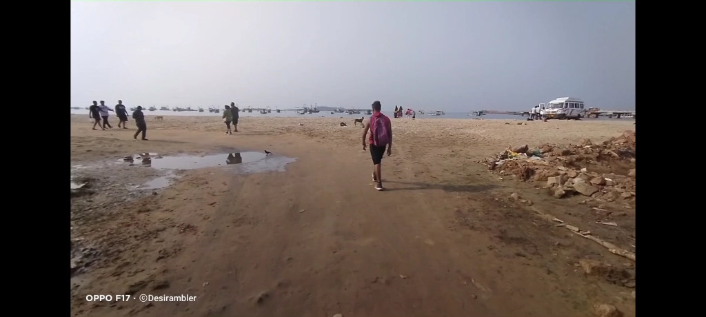
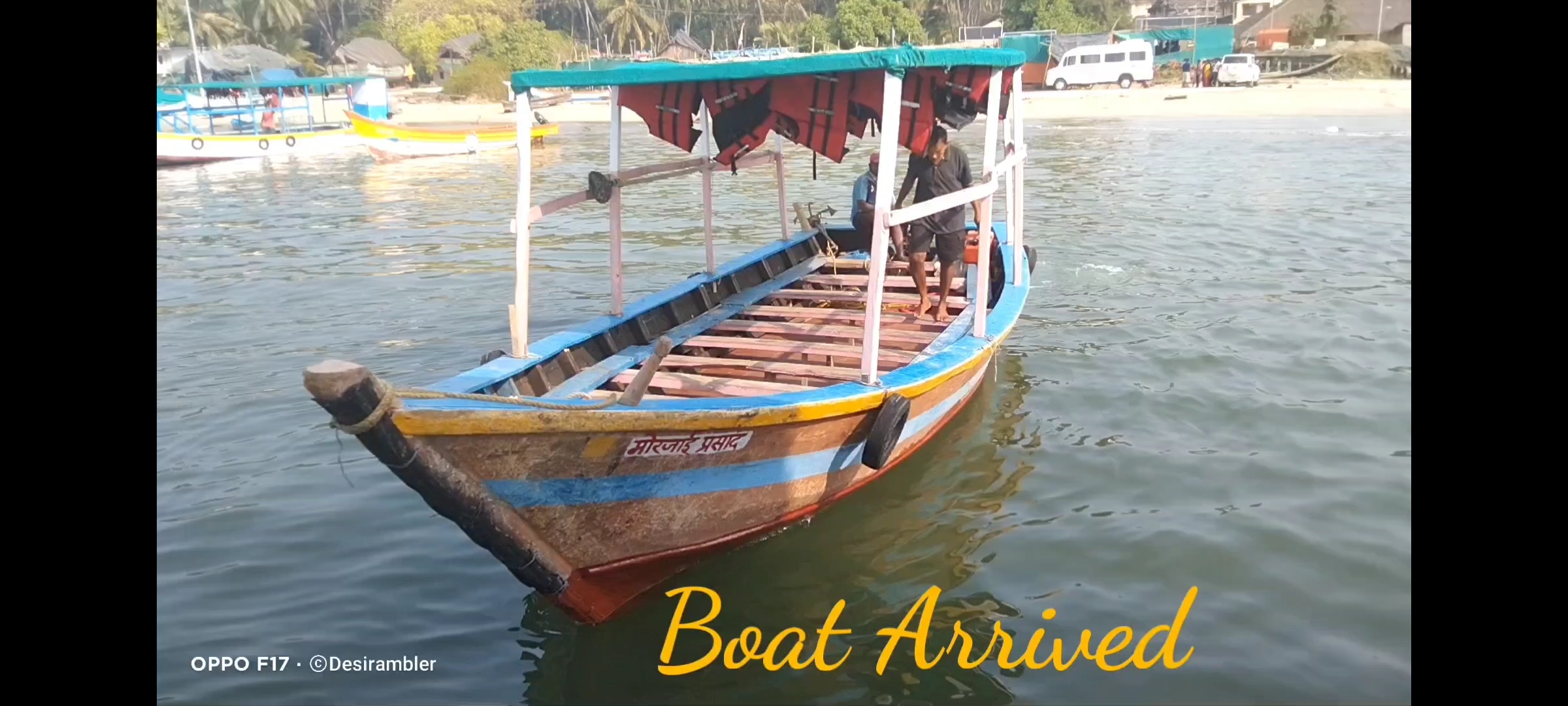
After reaching in market we have to still walk for 10 mins to reach Malvan beach, that’s not the actual place to visit to enter the fort, still one transport to go which is from boat, in few years Tourism of Malvan is well organized by transport, Hotels and water sports it is always a trend mark for fresh seafood but now when is saw after many years it was totally changed, big ferry’s was established to reach the fort with proper timings and safety.

Entering Malvan beach

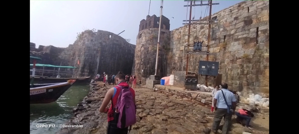
Tickets cost around INR 180 for 2 of us which means INR 90 Per person, it was also a return ticket but in return journey you can catch any boat that is available at the Spot. After deboarding the boat it’s time to enter the Fort the feeling of entering the fort was amazing the entrance way was made in such a way that the enemies will be noticed immediately by the Martha’s watchgaurds without letting enemies know. Before entering the gate there is a temple of Hanuman known for the blessing of power.

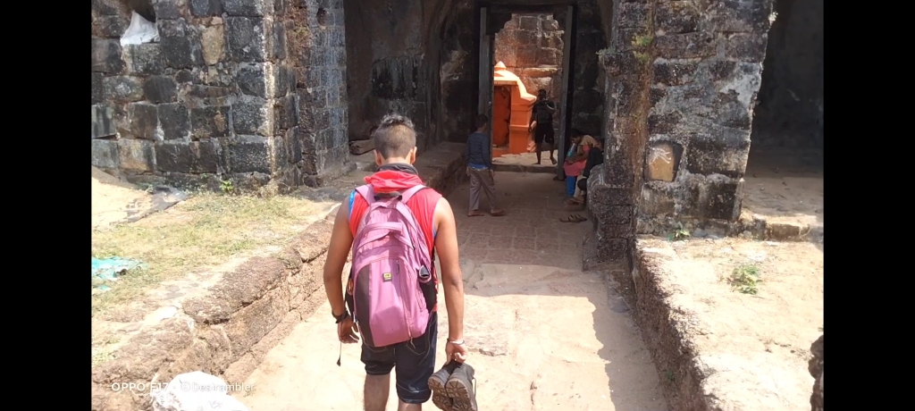
Entrance
Main gate entrance
Hanuman temple

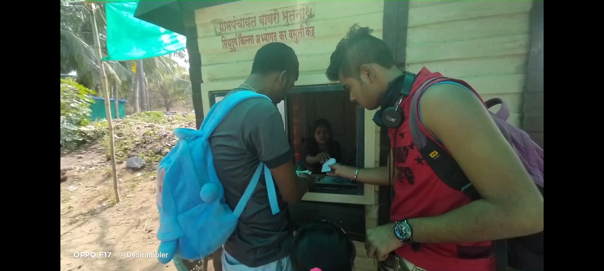
Just after stepping inside the fort there is a Fort Map to get an idea of the route, fort has many indoor stores with proper food to eat like Chinese, seafood etc so there is no problem.of starvation nor of getting thirsty, you might be getting worried about the highly sweat making sun ray’s but there is a solution you will also find hat and clothes stores inside the fort, this fort has total of 12 points to be watched for that there is price, after walking for 10 mins a small ticket counter is placed where you can buy ticket to watch all the fort attractions.

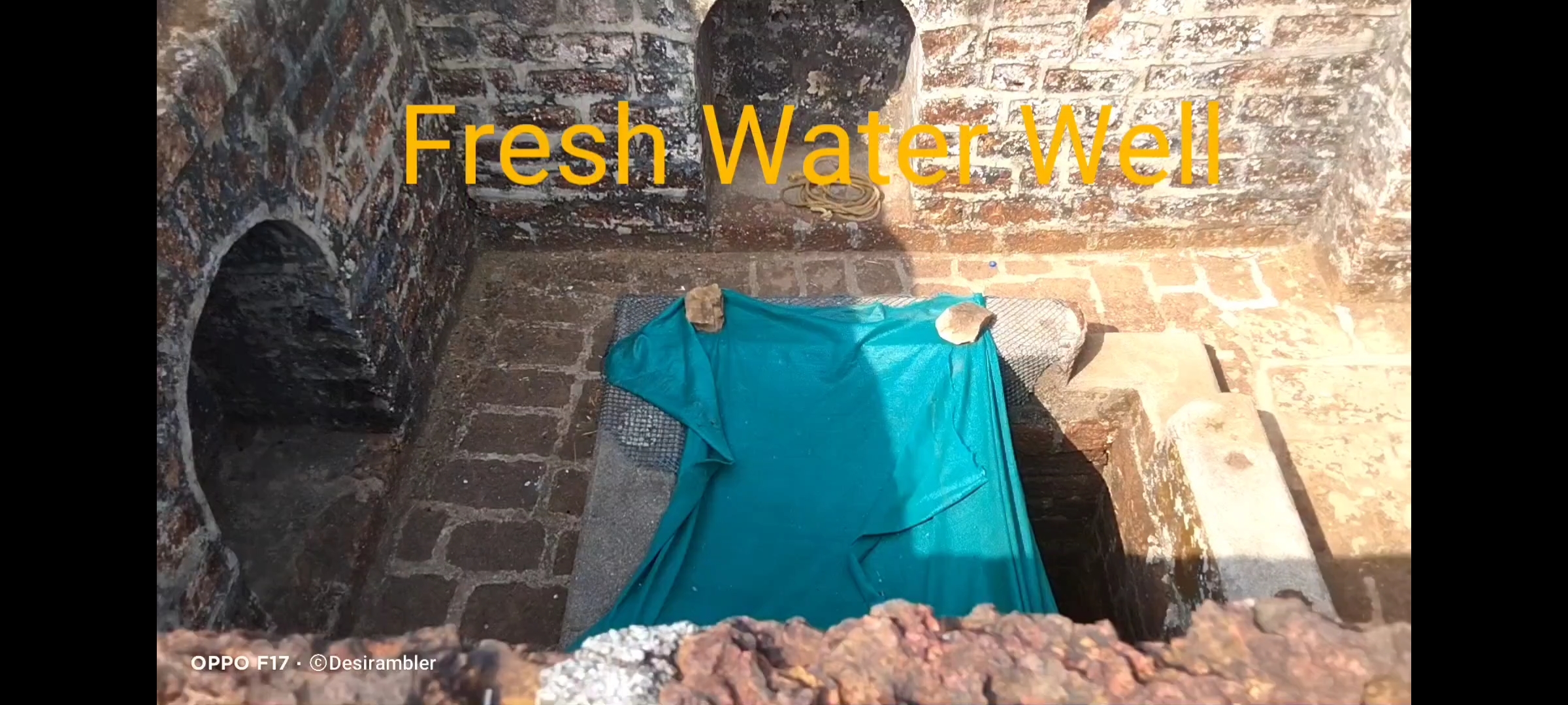
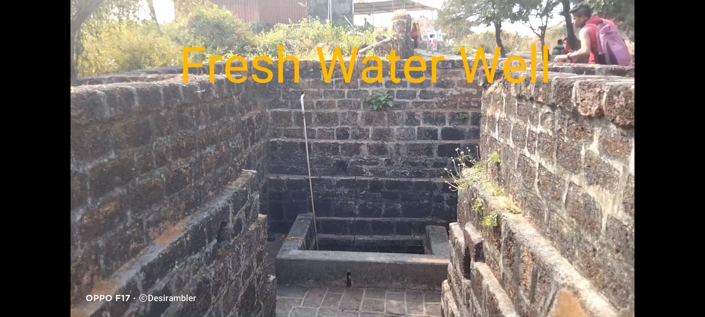
One amazing creation made by the Maratha engineer’s in Finding the fresh water stream in between the island which is surrounded by salty sea water which is preety amazing, in the period of 1667 many people leaved inside the fort depending on the basic necessities like water and farming more than 15 fresh water wells was made buy the locals for the survival’s.

Food stalls
Clothings store
Ticket Counter
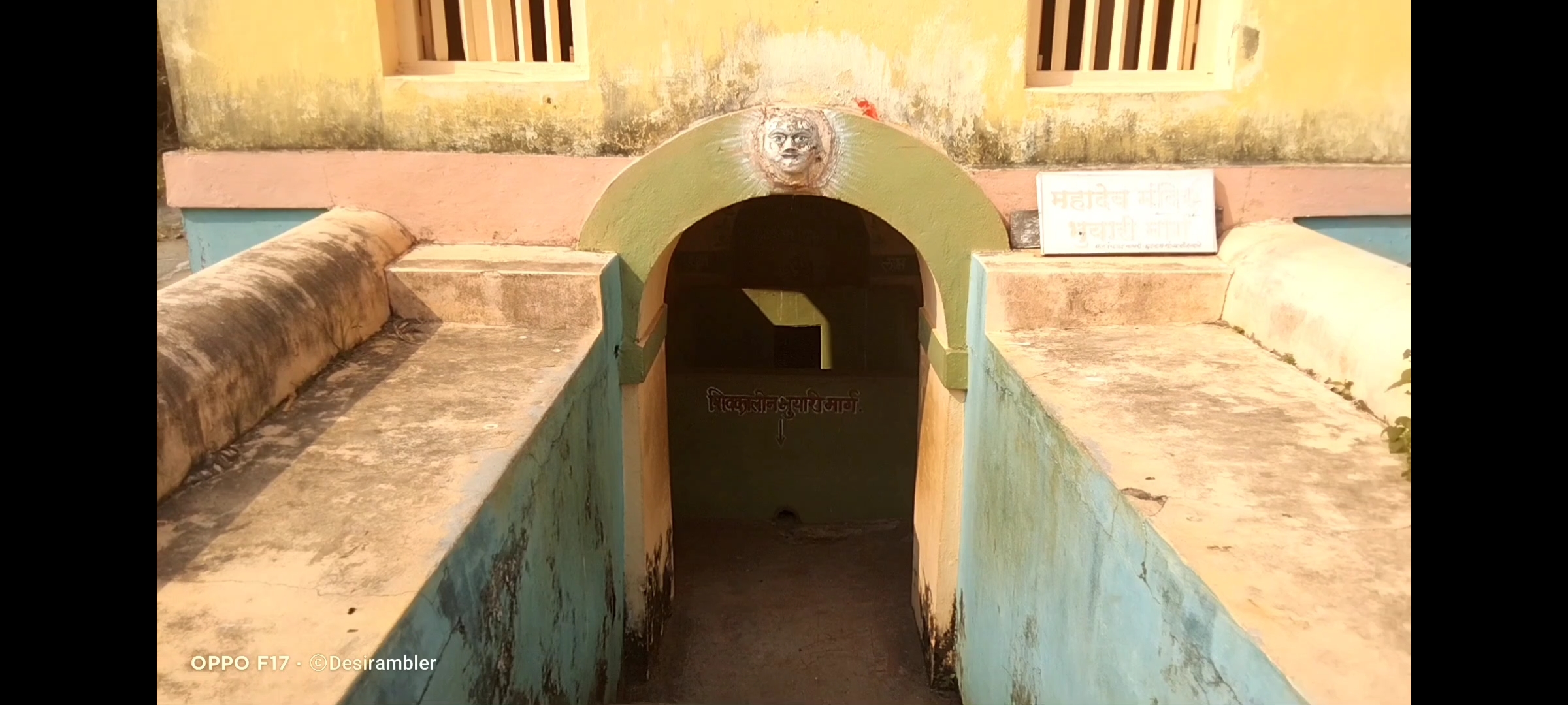
Shiva Temple
Fresh water well 1
Fresh water well 2

It was too hot 🔥 that day, thanks to my brother he advised me to wear sleeveless t-shirt on top which really helped that time, beacause you have to roam the entire fort which doesn’t have any covering on top, the last attraction was a museum which was too good, even getting inside to have to pay charge with was INR 5.

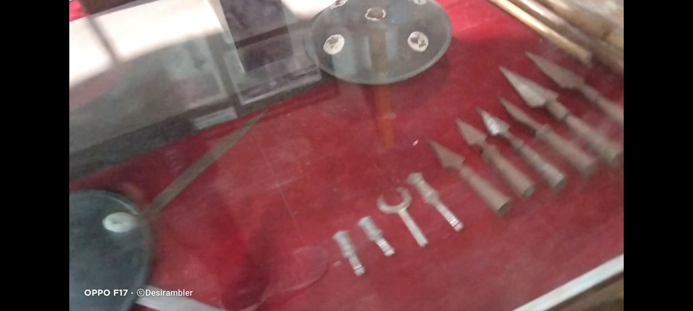
Museum

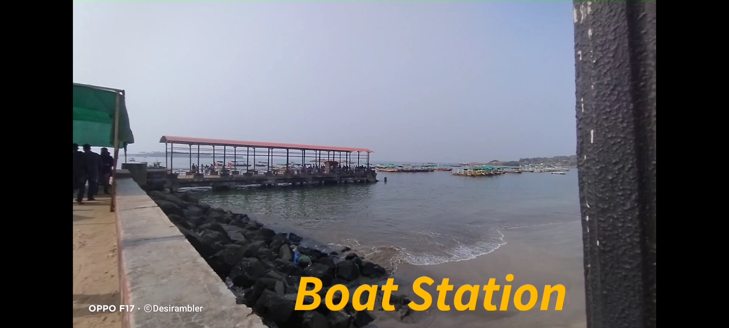
we spendes 2 and half hour completing all the attractions. While leaving the fort we decided to have lunch inside the fort stall but the price was high as compared to the hotels at the market so we skipped the plan of lunch and reached at the boat station,

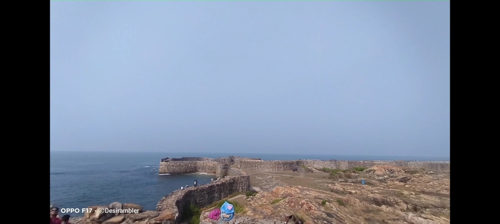
Fort Inside view
Exiting fort
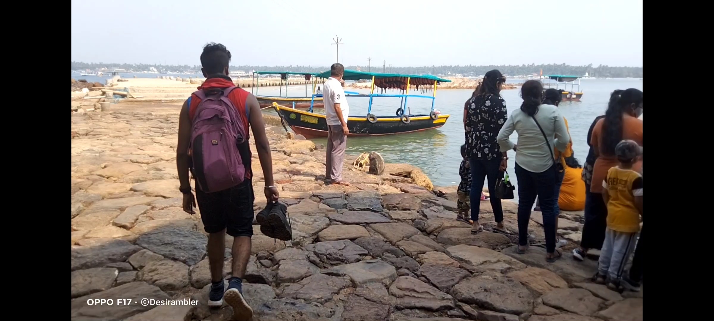
Boat station

Below are some memories

Thank you for reading and visiting my website hope you loved it, for more content like this you can read my previous experience by clicking on the below given list

Also visit my and subscribe to my YouTube Channel “Desi rambler” for All my video with full information.

To watch Full video on Sindhudurg fort click the link below………… https://youtu.be/xvH3G3tvDJM
https://youtu.be/NLrqsC7V0tY

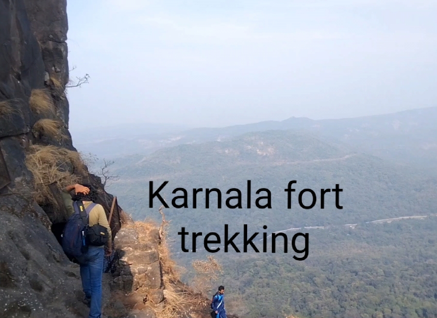
Karnala fort and Bird Scantuary (guide)

Click the link below for the full video of personal experience visiting Karnala Fort

Fort Info


  • Height:- 439m (1,440ft)
  • Place:- Panvel, Maharashtra, India
  • Open:- 6am to 6pm
  • Distance:- 59km from  Andheri, Mumbai
  • Difficulty:- easy

Overview


Karnala fort is for beginners with easy level of trek, not confusing at all no chances of getting lost, best place to visit with family and friends, you will find cleanliness all around with no plastics or any kind of garbage thrown, birds chearping on every corner and non polluted oxygen to breathe a good experience to achieve.

Karnala Fort

How to reach


If you stay in Mumbai or nearby Mumbai it is very easy to travel the fort, I travelled on my own bike distance of  59km from Andheri, Mumbai which took 2hrs of travel time in morning without traffic, public transport is also an option the nearest railway station to reach is Panvel station from there you can rent a Rickshaw for further journey till the fort, rates varies from season to season. No Airport is available the nearest airport is Mumbai International Airport which is 59km away from the fort, Local Cabs is the best option to reach fort.

Sharing some pics, when I visited Karnala fort

Climbing the stairs
Water tank
Inside the Fort
Inside the Fort 2
Steep way
View from the top
Pinnacle point
View from the top 2
Saffron Flag

Thing’s to Carry


Safety comes first don’t fill up Ur backpack so that it becomes difficult to climb specially when it comes to rocky patches always carry minimum amount of products like 2 liters of water, some non oily snacks (2 or 3 packets), Power bank if needed, First Aid like bandages and antiseptic liquid, Face towel etc. Don’t forget to wear Trekking shoes and lite clothes like shorts and sweat shirt which is the best option.

Rules and Regulations


If you are planning to travel beautiful and amazing places like This pls follow some basic rules. You have to submit some amount eg: INR 200 if you are carrying any kind of plastics, deposit will be returned if you show them that you didn’t throw your plastic wrappers by showing them again while you exit the gate.
  • Follow the rules
  • Don’t throw plastics or Garbage
  • Don’t write your names on the Historic or any place
  • Don’t harm Animals or Birds
  • Don’t drink or smoke
  • Assist other people if needed

Things to do


Bird watching is one of the best things to do, Karnala Bird  Scantuary is home for 222 birds species of which 161 are resident species, 46 are migrant species 3 species are breeding migrant 7 species are passage migrants and 5 species are vagrant.

Below are list of some Birds


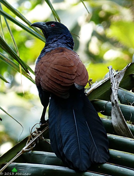
Greater Coucal
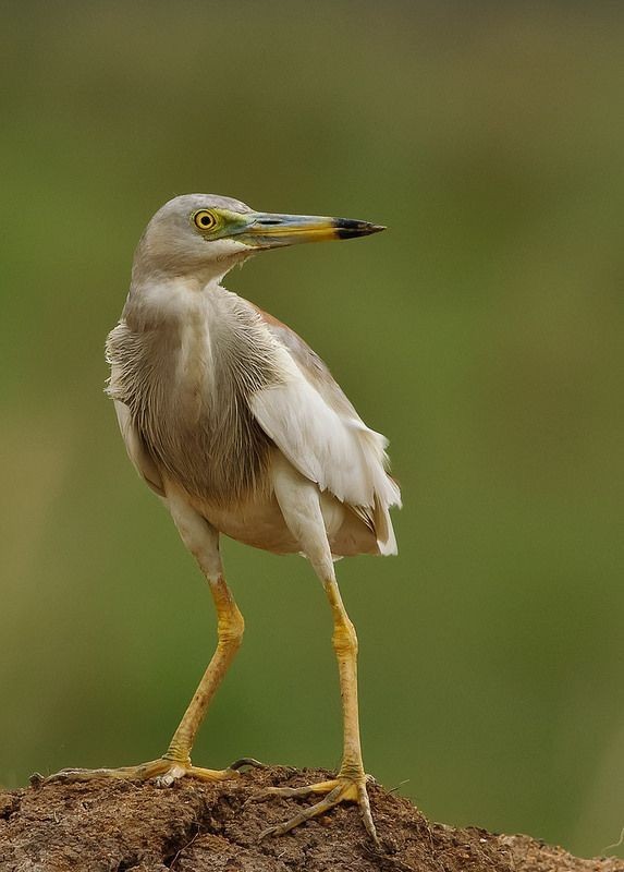
Indian Pond-Heron
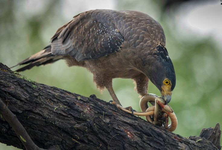
Crested Serpent-Eagle
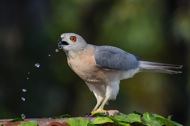
Shikra
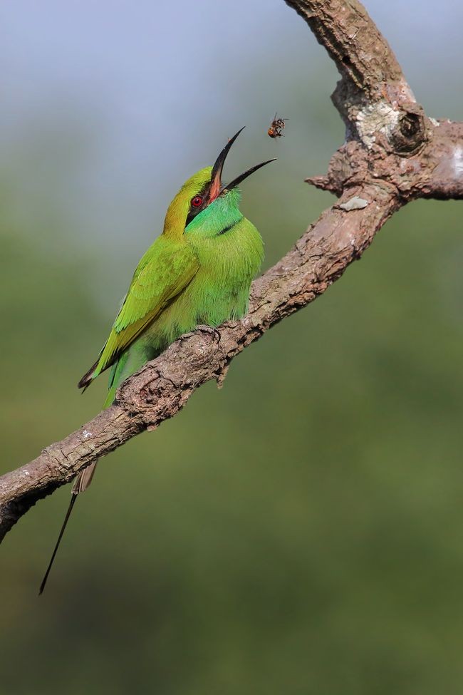
Green Bee-eater

Trekking till the top of fort is also a great idea, It is One day trip, I suggest you to Travel in  weekdays when the crowd is less, 2hrs of Trail not a difficult one easy steps, little tough in-between the rock climb, It is always very hard to trail through the forest because you will find there is no wind blowing by the trees, but as soon as the Forest trail ends you will feel endless amount of Air passing through you which will help you to Trek further, no water facility or stores on the way, so carry your own water bottles and snacks, you will get to know some interesting historical places and monuments inside the fort, Water tanks, secret door known as Chor darwaja, you will feel amaze when you reach at top, you can take breaks in between to drink water and eat but don’t throw any garbage, when you will reach at top there are very few places to roam not a big fort as compared to other fort’s in Maharashtra like Mahuli fort and Lohagad.

Click the link below for the full video of personal experience visiting Karnala Fort.

Thank you for reading, if you like my post please Like share comment and follow.

Also subscribe to my YouTube Channel “Desirambler

Mahuli trek with full guide

Below link is my trek video with full guide

Overview Fort:- Mahuli
Place:- Shahpur, Asangaon, Maharashtra, India
Elevation:- 2815ft above sea level
Trek mode:- moderate


Start I started my journey from Andheri, Mumbai at 6:15@m the estimated time to reach Shahpur was 2hrs without traffic, I invited my friend named Joshua for trek and he accepted my invitation, For a change we thaught for not spending extra money in petrol which could be used in our essential things like water and food we decided to move on Joshua’s bike which was KTM 390, We spend INR 400 on petrol (return trip), total distance to travel was 69km till Mahuli fort entrance.

Mahuli fort gate entrance

Essential things The essential things we took was 3liters of water for each person, some non oily snacks like baked wafers, peanuts etc, Face towel and med-kit which is important for any unfortunate incidences, Small knife and one Lighter, Power bank for our smart phones.

After Reaching We reached infront of Mahuli entrance gate at 8@m, then we decide to park the bike at safe place and regenerate our energy by having some breakfast and refreshing drink like tea, there was a narrow off road going towards one small farmhouse which was owned by two old partners  along with some workers, we parked our bike with their permission and entered their farmhouse for some thing to eat, we ordered Kanda Poha (Maharashtrian dish), and two cups of Tea.


Total cost:- Kandapoha:- INR 25 each
Tea:- INR 10 each
Parking:- INR 10

Which was much reasonable then 2star or 3star hotel.

Kanda Poha

Trek Begins After eating tasty 😋 breakfast we started our journey toward the fort at 8:30, 10min of walking and we found, the Ticket counter from where we had to buy entry ticket was closed for no reason, then we saw gate was open so we entered and carried our journey forward. After walking forward there was a bridge which was on the way from where two ways gets seperated one goes towards the Water fall and other towards the fort.

Bridge
Left (towards fort) & Right (towards waterfall)

Way towards fort begins with the rocky steps and green trees all around us, I found that we stepped the rocky stairs till we reached our first patch which we climbed in around 30min. It is said that “Ur beginning always hides Ur end first 30 mins of our climb which was exhausting beacause inside the jungle we found no air which can help us to climb the steps more faster, it was the time to take our first break.

Place we took our first break
Rocky steps

There were no steps further as there was no dense forests but we found a good news that we felt good amount not air blowing around which helped us to move faster, after climb and climb and climb finally we crossed first mountain but wait 2 more mountain’s to go so climb climb and climb it was time to take our second break, 2 liters of water was finished and 4 liters were still left with us we had some snacks for energy and moved on, but the view we saw was outstanding.

Pinnacle point’s
Second mountain
Big Black Rock

Now there was a time when steep way begins I recommend to wear safety shoes and don’t risk Ur life in doing silly things for just to click pictures, more 45 mins to go we recognised that after getting near the way is getting more steeper and riskier, one ladder was placed to climb but you will find that the ladder can only be used by one person at a time beacause the condition of the ladder was not that strong that it can hold more than single person weight. So planned to climb the ladder one by one with taking any risk of life.

Steap way
Rock climbing
Single ladder

More 15min to walk and then the Saffron coloured flag at Summit point, the 15 Min way was simple as imagined and the feeling of succes was magical.

At the Top

We reached at top in 2 hrs 10:30am with an average speed, then we decided to move toward the fort which was at the middle of mountain with out roaming inside the fort there was no use of climbing such big mountain way towards inside the fort was easy and straight we found one water tank in-between the way. But the water stored in it was stunted and full of bacterias and Insects beacause it was stored by rain water with no entry and exit for it, the only way to use this water was to wash the face and hands to Did it.

Water tank

After getting fresh we found a board which shows the way towards the fort after a small descendent, the fort thing I saw was the Statue of India’s greatest king of all time “CHHATRAPATI SHIVAJI MAHARAJ” with honour, there was another stream of water which was so clear and refreshing it was safe to drink because the flow of water was continues and the water didint smell at all there was a small cave like place which was perfectly designed for resting and having some thing to eat so we did not waster any time and took some rest by laying down inside the places which was cooler then outer temperature.

Board showing way towards fort
Inside view
Fresh stream of drinking water
Resting place
Idol of King
Shiva Ling Temple
Mahadarwaja (Big door)
From inside resting place

After taking a short nap there was time to leave this beautiful place with beautiful memories,

Want to watch video regarding this place click the below link which is based on my self experience from the Mahuli trek

Thank you for reading my content if u love my blog pls do Like, share, comment and follow

Lohagad “Iron Fort”


Overview

Lohagad “Iron fort” is one of the many hill fort of Maharashtra State. Situated  close to hill station Lonavla and 52km (32mi) northwest of Pune, Lohagad rises to an elevation of 1,033m (3,389ft) above sea level. The fort is connected to the neighbouring Visapur fort by a small range. The fort was under the Maratha Empire for the Majority of the time, with a short period of 5 years under the Mughal empire. Elevation:- 1,033m. Location:- Pune District, Maharashtra, India. Function:- Fortifications. Parent:- Western Ghats
Trekking route

History
Lohagad has a long history with several dynasties occupying it at different periods of time Satavahanas, Chalukyas, Rashtrakutas, Yadavas, Bahamanis, Nizam’s, Mughals and Marathas. Chhatrapati Shivaji Maharaj captured it in 1648AD but he was forced to surrender it to the Mughals in 1655 AD by the Treaty of Purandar. Chhatrapati Shivaji Maharaj recaptured the fort in 1670 AD and used it for keeping his treasury. This fort was used to keep the loot from Surat. Later in Peshwa time Nana Phadnavis used this fort living for sometime and built several structures in the fort such as a big tank and a step-well. The lohagad fort also has caves on it’s south side facing Lohagadwadi.

Geography and Climate
Lohagad is part of the Western Ghats. It rises to an elevation of 1,033m (3,389ft) above sea level, and is located to the south-west of the Visapur fort. The range divides the basins of the Indrayani River and Pavana Lake. Lohagad overlooks the Pavana reservoirs, located to the south of the mountain. The hills extends to the North West to a fortified spur, called Vinchukada (scorpion’s tail) because to its resembling shape. The four large gates of Lohagad are still in good condition and reasonably intact. During the monsoon, the top of the fort is covered with mist and clouds and becomes particularly wet with growing moss. The roads and trails leading to the hill are quite slippery at this time of the year and precautions are necessary to be taken while venturing the routes.

Sunrise

Accessibility
Lohagad fort can be accessed by various modes of travel. The nearest airport is the Pune International Airport. The proposed Navi Mumbai International Airport will serve as the nearest airport in the coming future. The nearest train station is Malavli, which can be accessed by suburban trains between Lonavala and Pune. The nearest major train station is Lonavla, on the Mumbai-Pune railway line. Lohagad is connected by the Mumbai-Pune Highway and can also be accessed from Paid via Kolvan and Dudhiware Khind for all vehicles. People can hike all the way to the fort. Bhaja caves is on the way to Lohagad if a small diversion is taken. This walk is particular favourite for trekkers, especially in the monsoon season. It is a simple, very scenic and pleasant trek and the distance from Malavli and Lohagad can be covered in around 2 hrs. A tar road exists all the way to the Top from Malavli station and one can hire a tempo or cap to the top. The best season to visit is monsoons it is absolutely safe and many vendors selling onion fritters and lemonade are present by the roadside. One can also cut across the hills as well.The fort has around 350 steps from the base, and it is not advisable to take a personal car as the road is single lane, sleep & very Bad. Variety of Insects can also be spotted in these hills.


Nearby attractions

  • Bhaja caves – 2km (1.2mi) from Malavli, once home to Buddhist monks.
  • Karla Caves
  • Lonavla 20km (12mi), famous and scenic hill station.
  • Aamby Valley City – 22km (14mi) from Lonavala.
  • Visapur

Bhaja caves
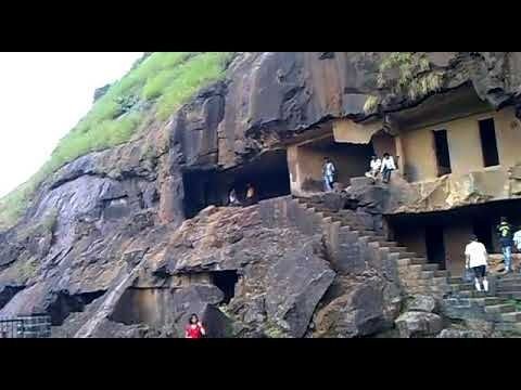
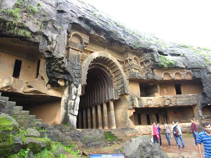
It is a group of 22 rock cut caves dating back to the 2nd century BC located in the city of Pune, India. The caves are 400 feet above the village of Bhaja, on an important ancient trade route running from the Arebian sea eastward into the Deccan plateau (the division between North India and South India). The inscription and the cave temple is protected as a Monument of National importance, by the Archaeological Survey of India per Notification no 2407-A.

Bhaja Caves

Karla Caves
It is complex of ancient Buddhist Indian rock-cut caves at Karli near Lonavla, Maharashtra. It is just 10.9 kilometers away from Lonavala. Other caves in the area are Bhaja Caves, Patan Buddhist cave, Bedse caves and Nashik caves. The shrines were developed over the period from the 2nd century BCE to the 5th century CE. The oldest of the cave shrines is believed to date back to 160 BCE. having arisen near a major ancient trade route, running eastward from the Arabian into the Deccan.

Karla Caves

Lonavala
Refer to Lonavla blog in my explore menu.

Aamby Valley City
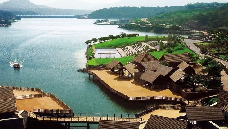
It is a township developed by the Sahara India Pariwar in Pune District in the Indian state of Maharashtra. It is about 23km (14mi) from Lonavala, 87km (54mi) from the city of Pune and 120km (75mi) from the city Mumbai. The township is connected by road of Mahabaleshwer. City is spread over 10,600 acres (4300ha) of hilly terrain. 3 large Man made lakes have been created by constructing dams. The largest lake is 1.5km in length, it also boasts of a PGA 18 hole golf course. This city was so designed and master planned by Gruen-Bobby Mukherji and Associates in the year 2003.

Aamby Valley City

Visapur Fort
It is at a Higher altitudes than Lohagad fort, water tanks, old houses, arch, waterfalls, temples are on the Sahyadri Fort. There are two buildings which are Roofless now, are government offices from the past. A stone built home at Visapur fort called Peshwas Wada popularly. Lord Hanuman carving seen the fort, there are many temples dedicated to him at the fort. Visapur is an ideal trekking destination near Mumbai, Pune, Lonavla.

Visapur fort

Below are the Clicked images at the top of the Fort with details

Shiva Temple built from black rock one of the toughest rocks in the world.

A statue of Lord Hanuman sculpted in between in the water tank

Sculpted rock as Shiv Ling built in between the walking path.

Broken bridge, people used to travel from one end to another from above the stored water.

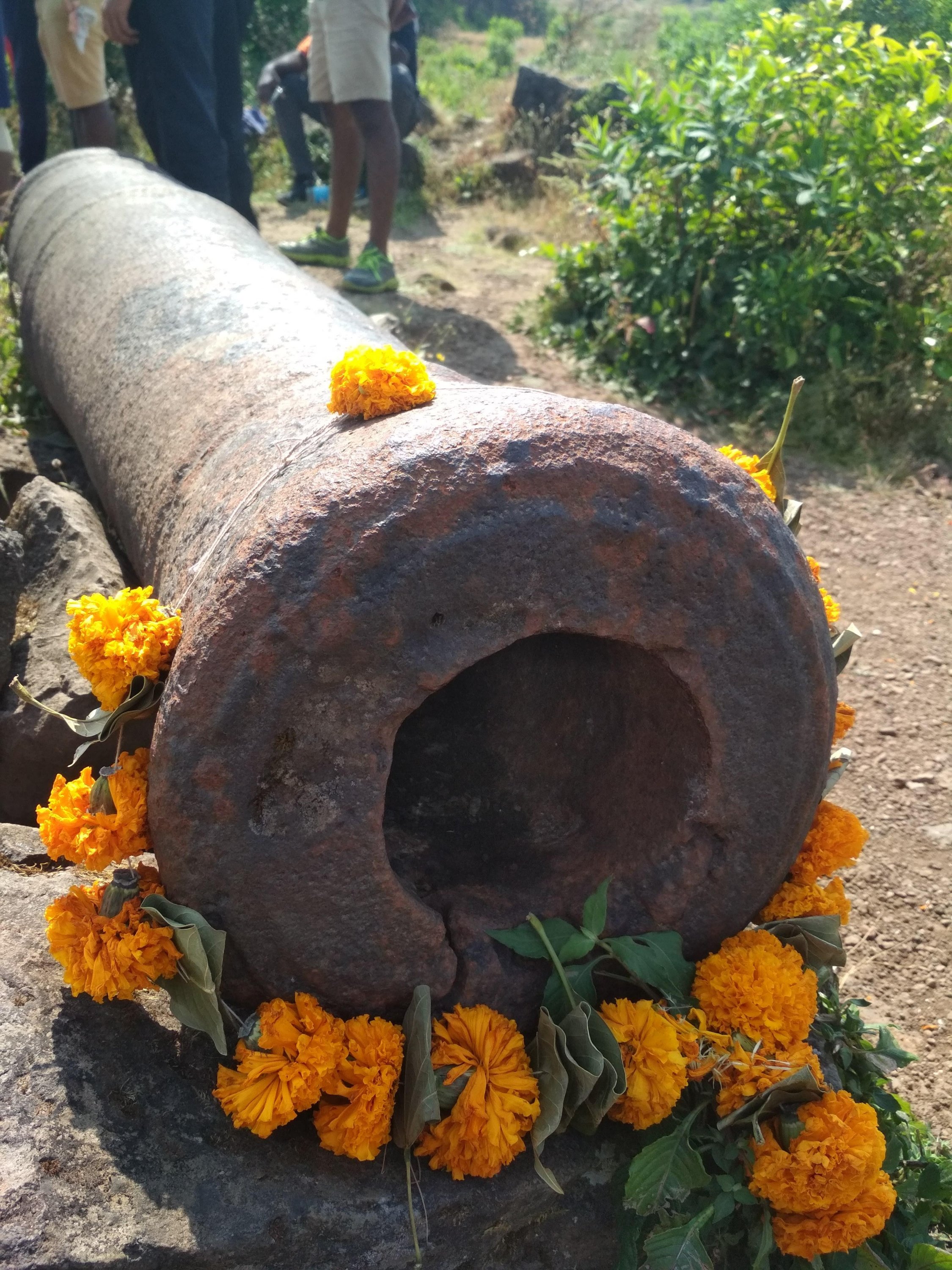
Cannon which been used by Great Marathas during wars, Weighing Almost more than a one ton approx.

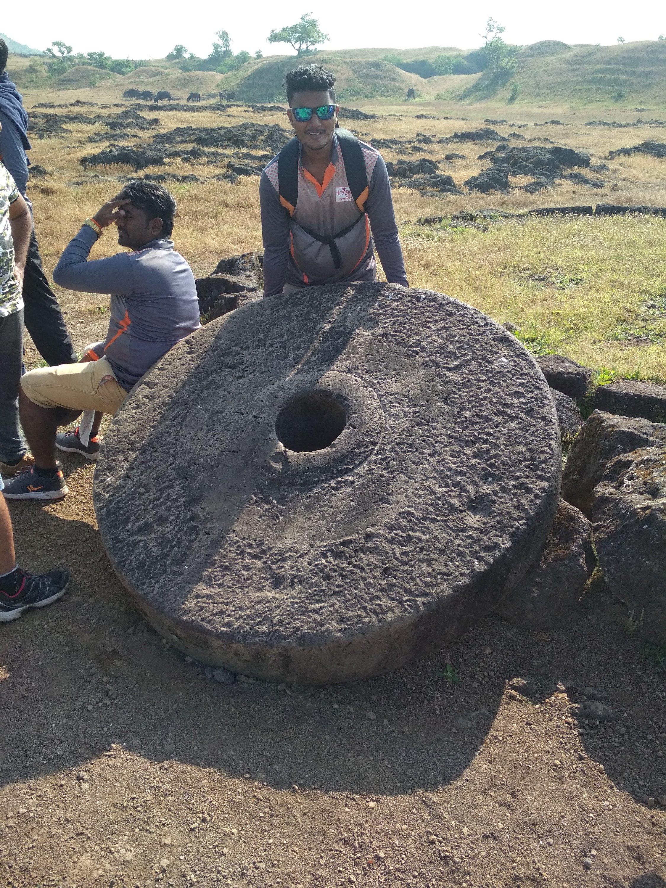
Roller not in a normal size as compared to household one

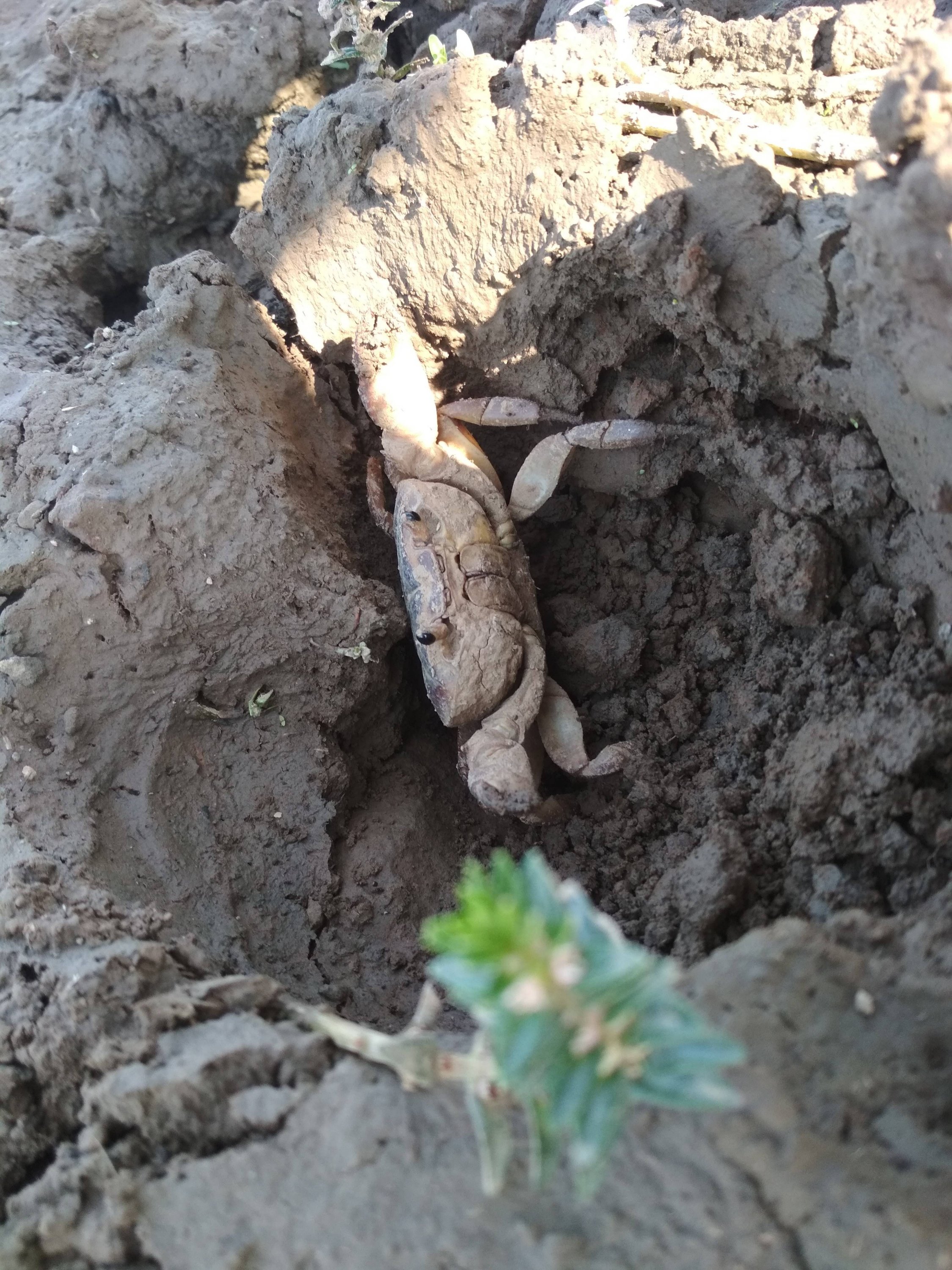
Mud crab specially found inside the Fort territory still exists.

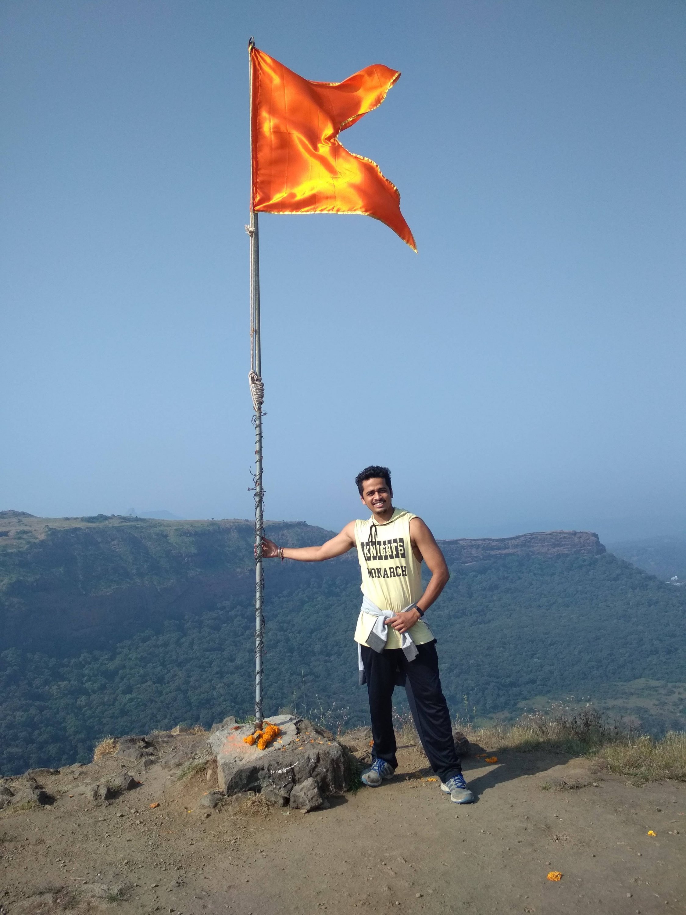
Highest point at the Fort, holding the saffron colour flag, which is dedicated to GREAT MARATHA WARRIORS.

Thanks for watching and reading if you like my blog please Like share comment and follow for more Content like this.