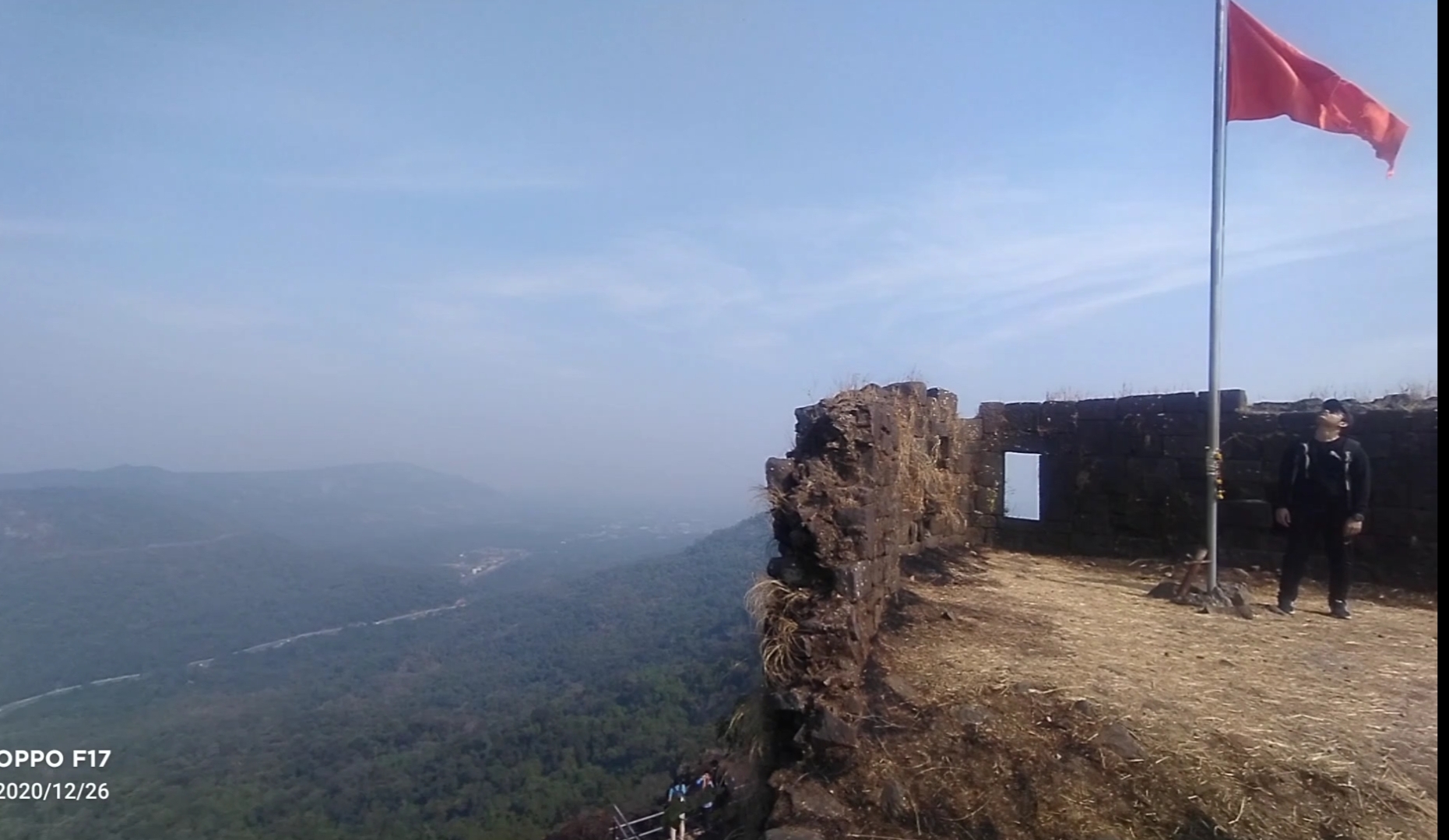
Asava fort/Killa Trek guide

Fort Info

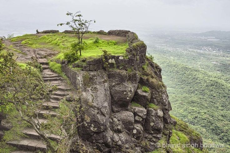
Name:- Asawa/ Asava

Height:- 1080ft

Place:- Boisar, Maharashtra, India

Difficulty:- Moderate

Distance:- 95km from Mumbai

Trek Duration:- 1hr 30min Max/1hr 15min minimum
Personal Experience

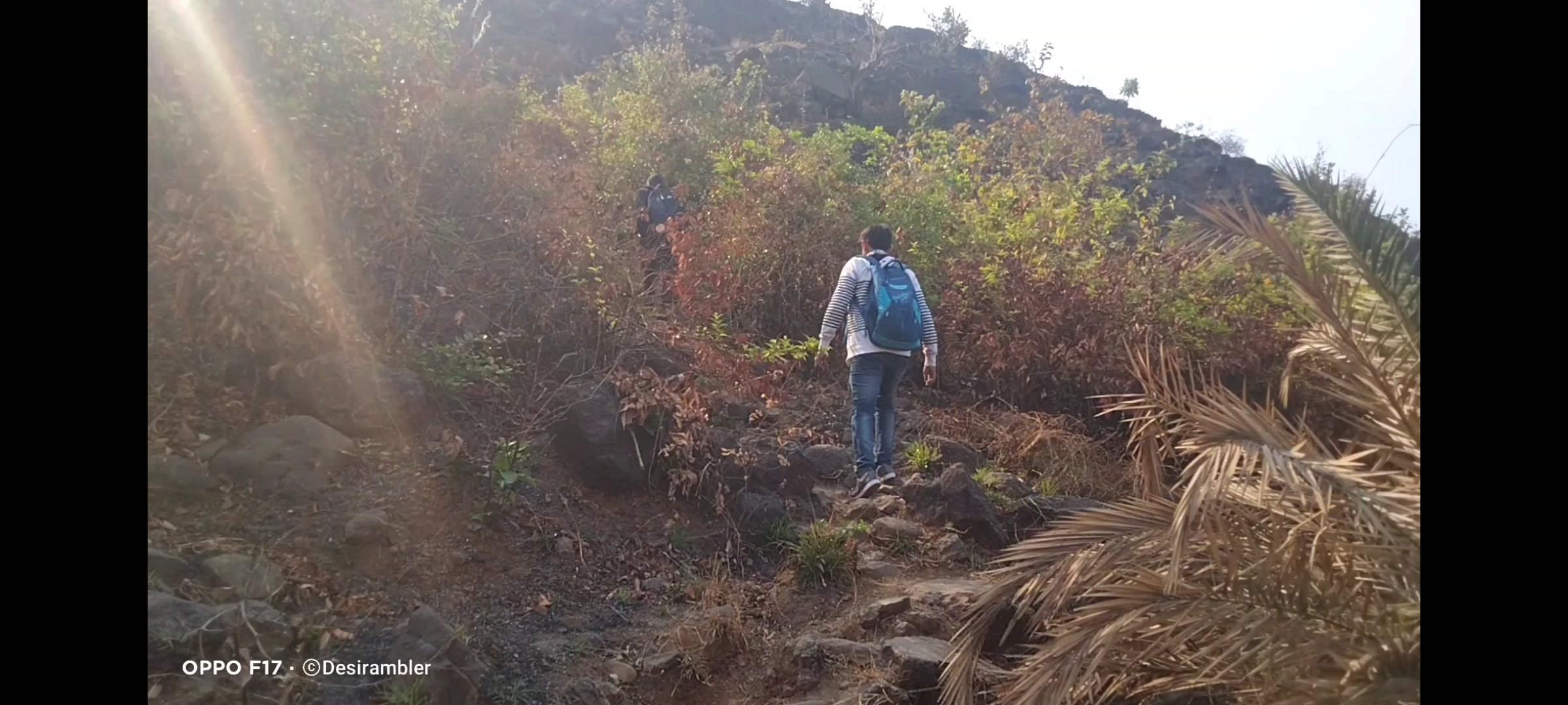
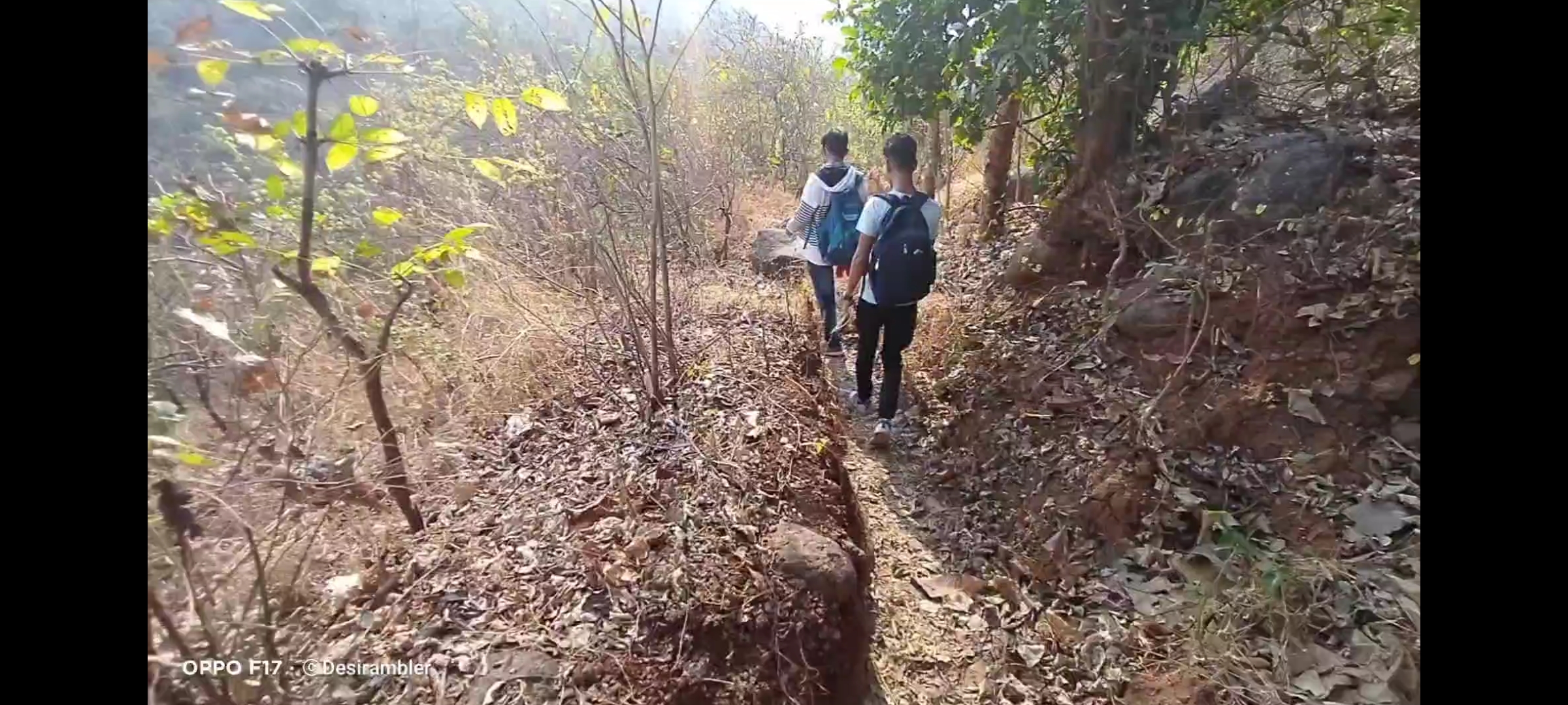
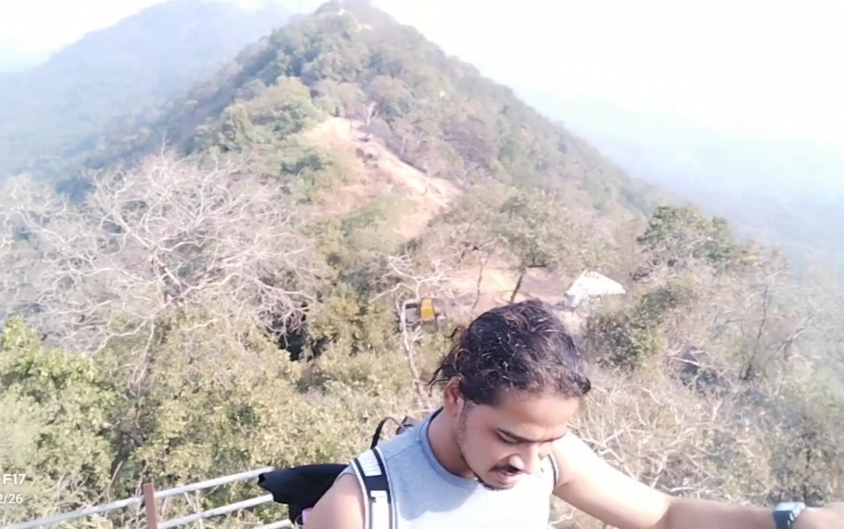
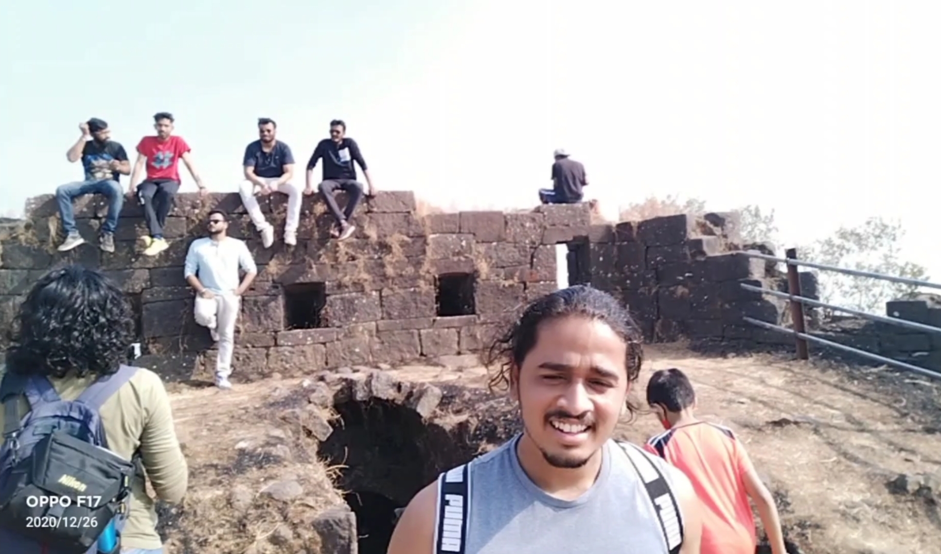
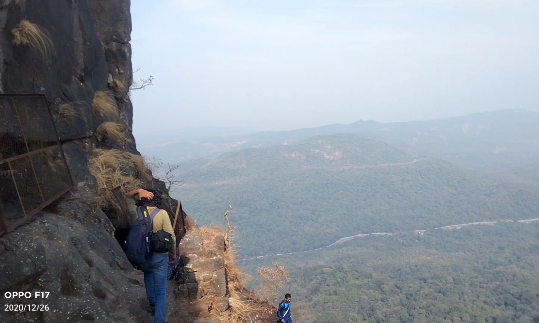
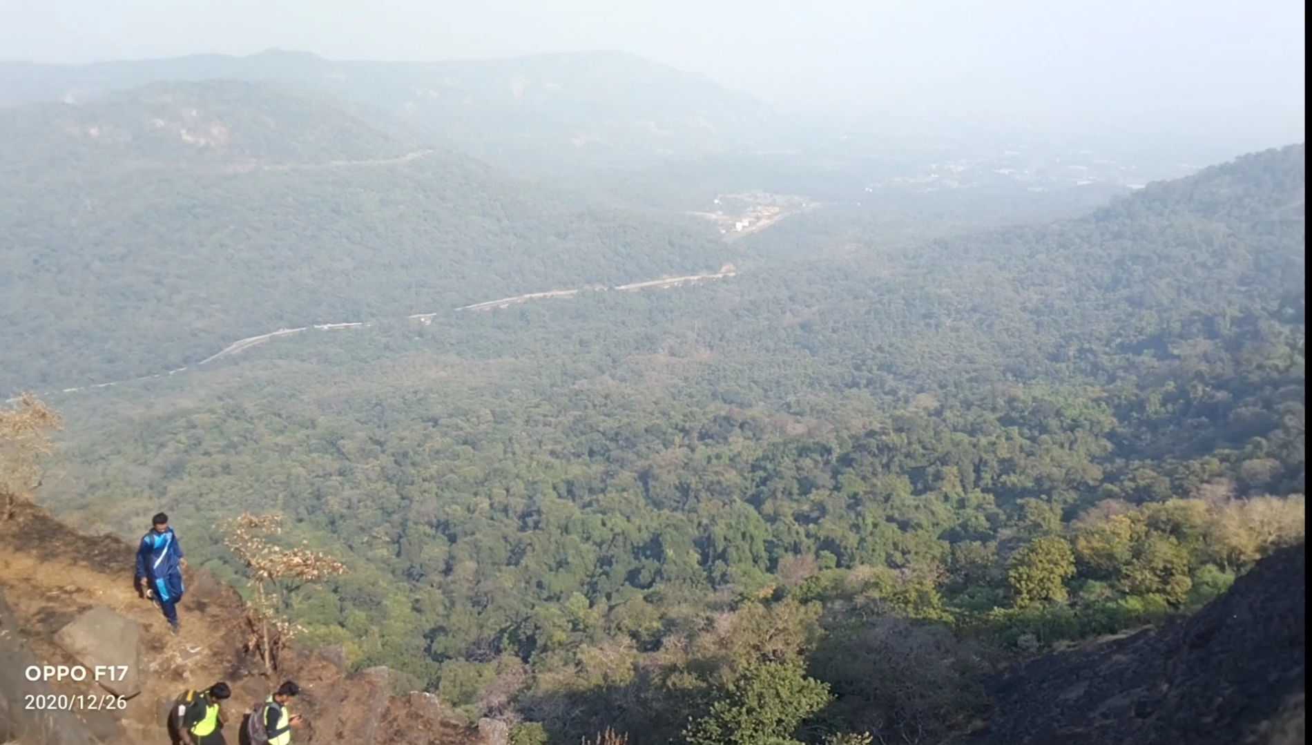
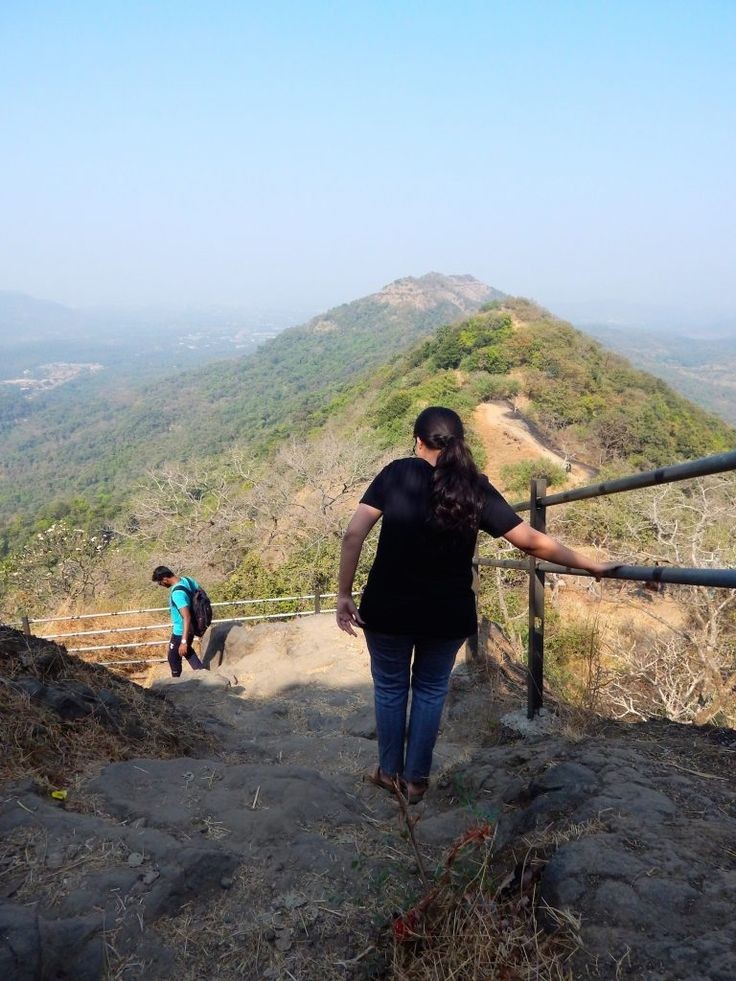
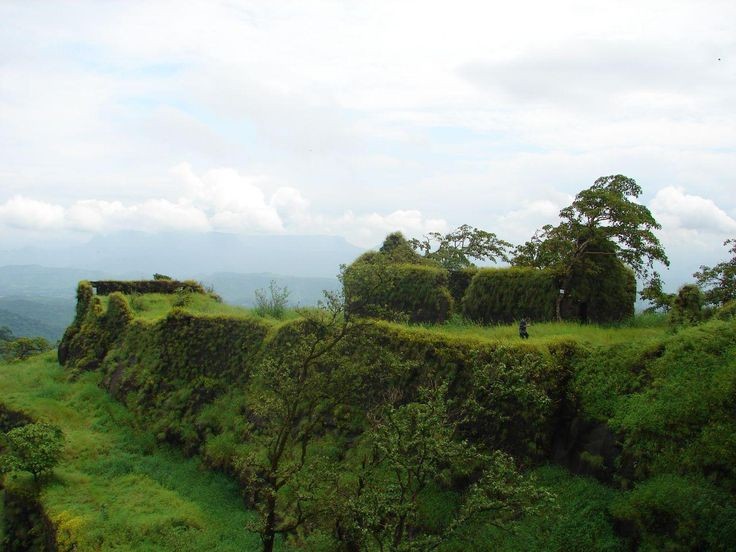
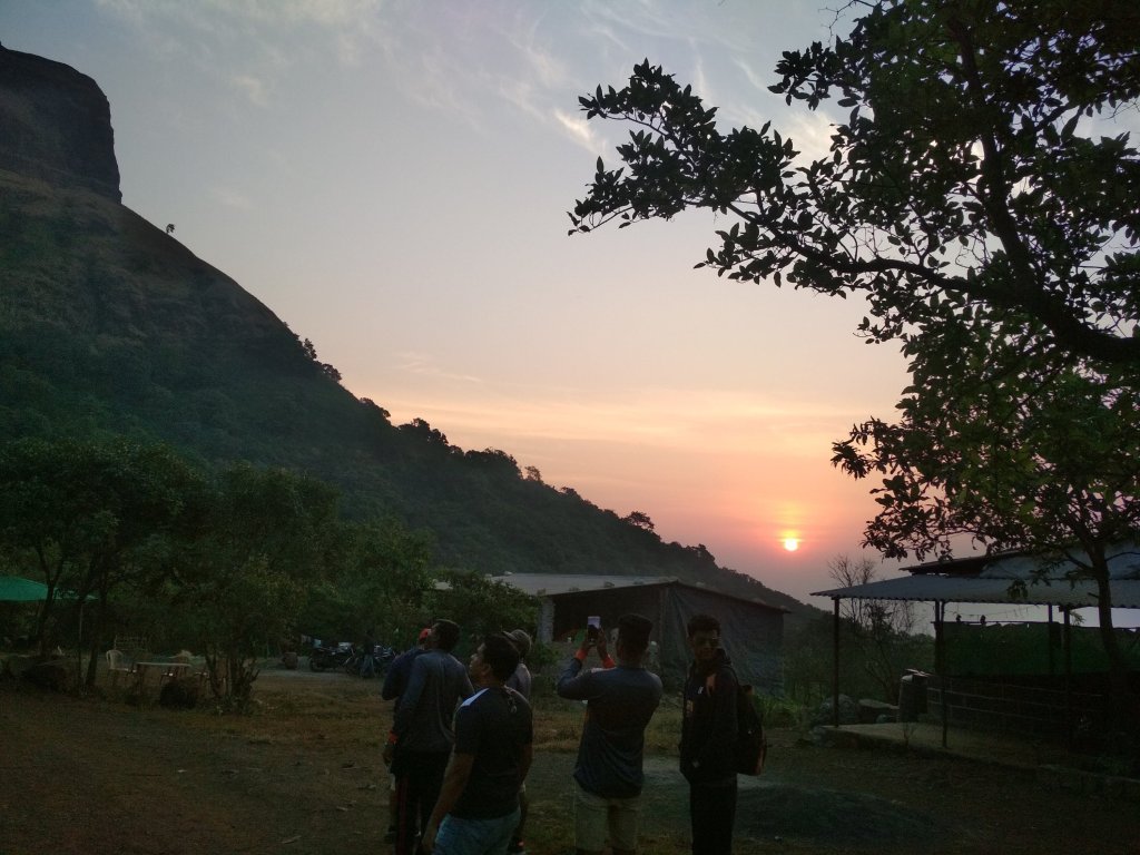
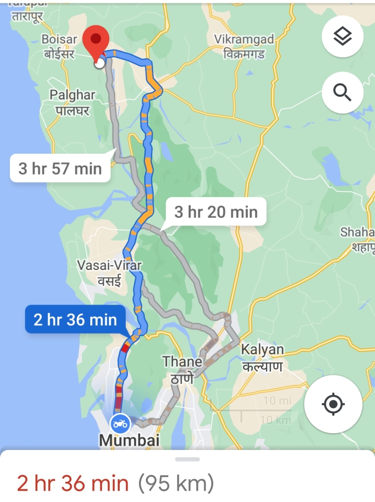
Started my journey to Asava/ Asawa fort which is situated in Boisar, Palghar District at 6:00@m early morning as I always prefer to go Solo but while watching my blogs and vlogs on my You Tube channel “Desirambler” they also came with me so the joy of Trekking gets more, it was and it is the time of Corona pandemic so there were few restrictions like lack of Road Transport and it was complete shutdown of Railway so Personal Vehicle was the best choice, 2 bikes for 3 person including me, our road trip started from the place where we met in Mumbai, as per the Google map it showed 2hr 36min, but with the descent speed and empty road we reached in 2hrs, the real confusion was to find the road to Fort through Village Warangade, it took 15 mins to find the actual way. we started our trail by 9:00 am after having breakfast.

You will find no parking facility near the fort, you can park bike or car in the Village on your own risks, we parked our bikes at the starting point of the trek which was 10 mins away from the Warangade Village, if you still got confused in finding the way through the village first reach near Viraj Industry which is the biggest industry at that place.

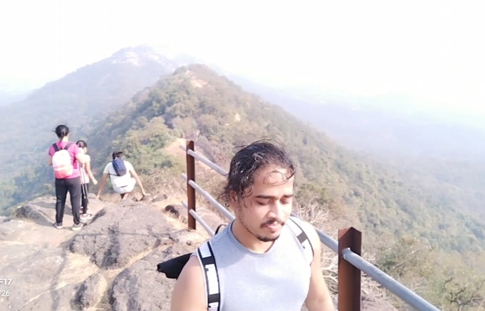
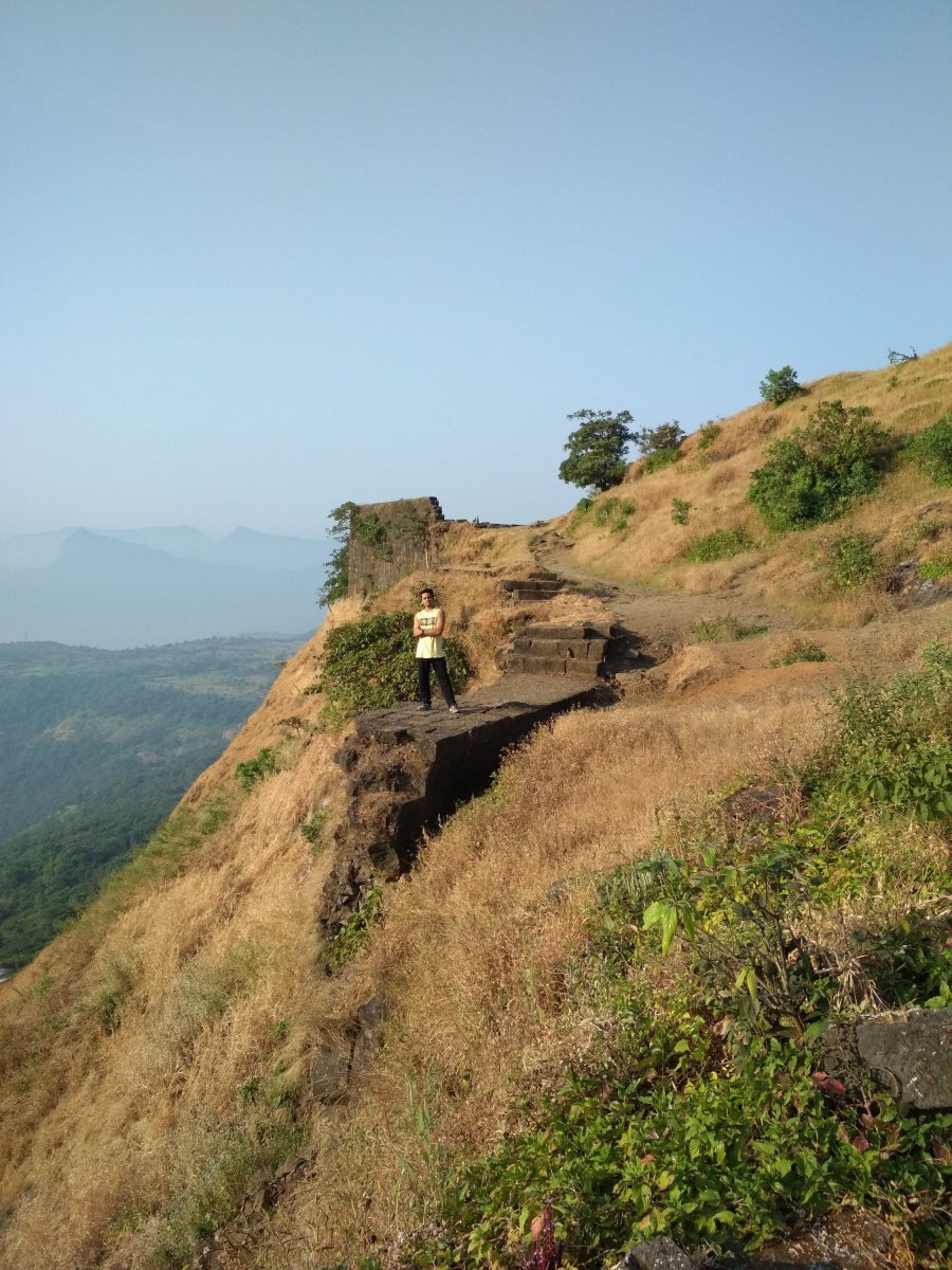
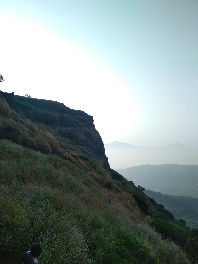
Don’t ever judge the difficulty of the Trek by its height, because I did so and got trapped in climbing the 2nd and final mountain by underestimating the way. as compare to my previous trek experience the climb was with rocks and the rocks gives legs support to climb, but at this fort the climb was full of slippery rocky way which gave our legs lots of tension to climb.
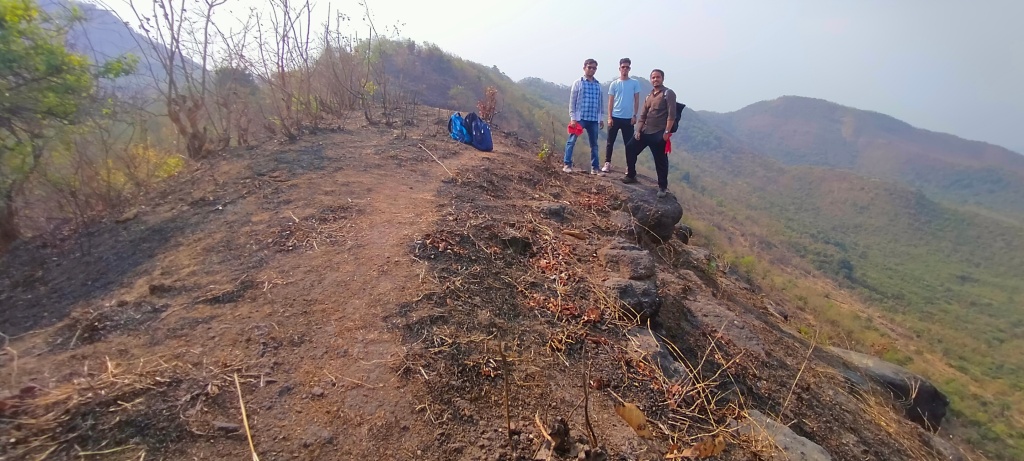
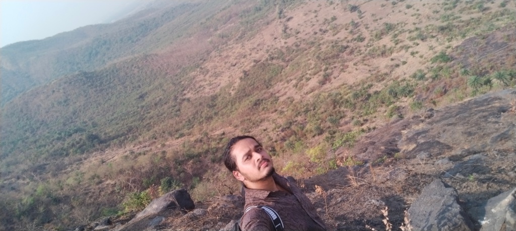
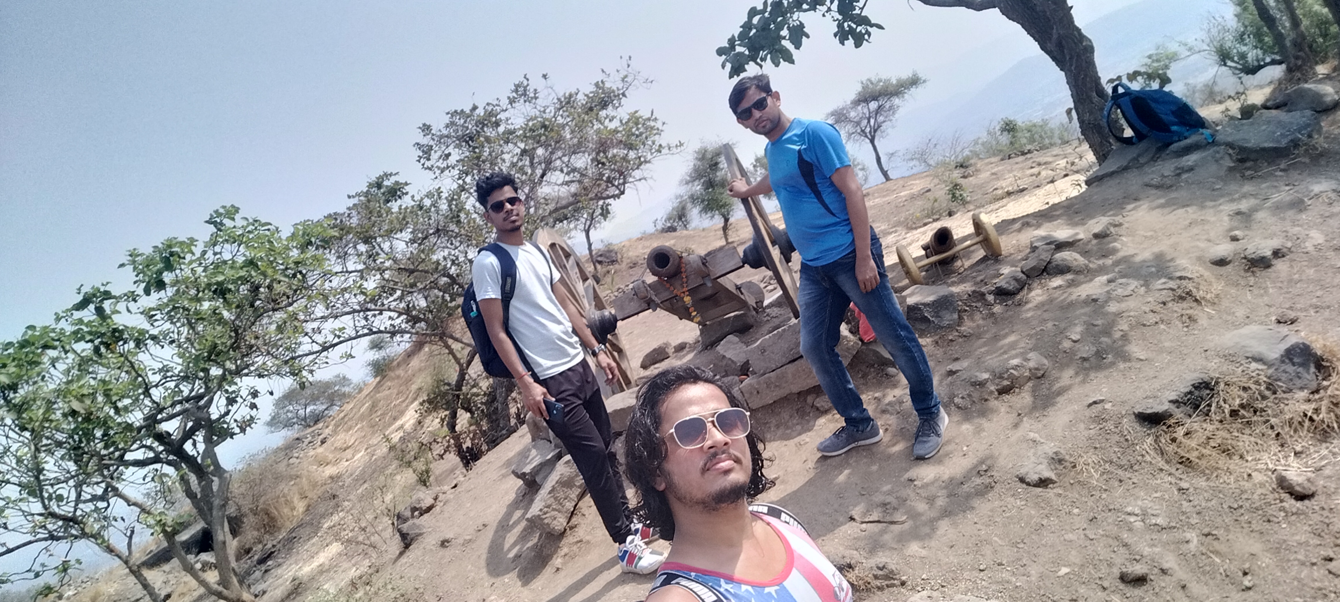
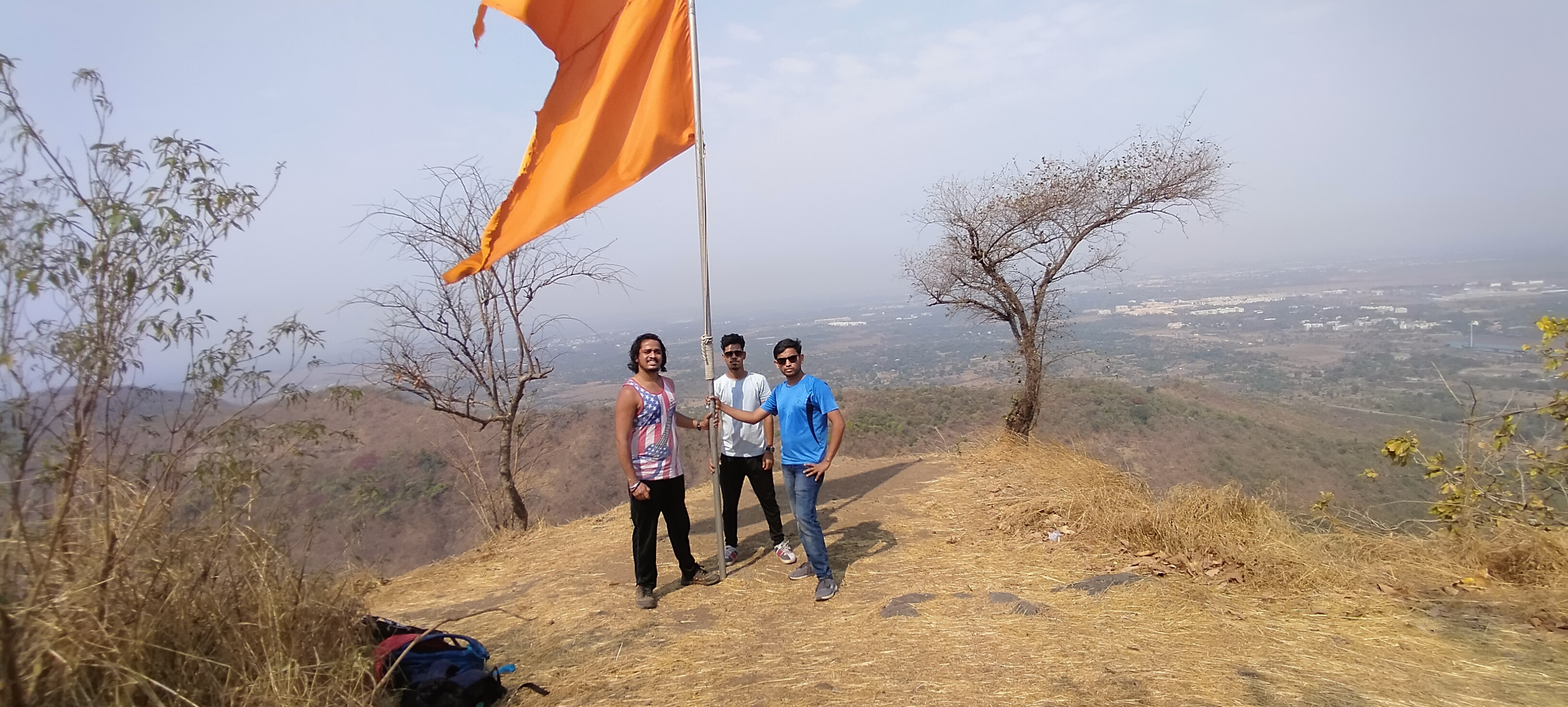
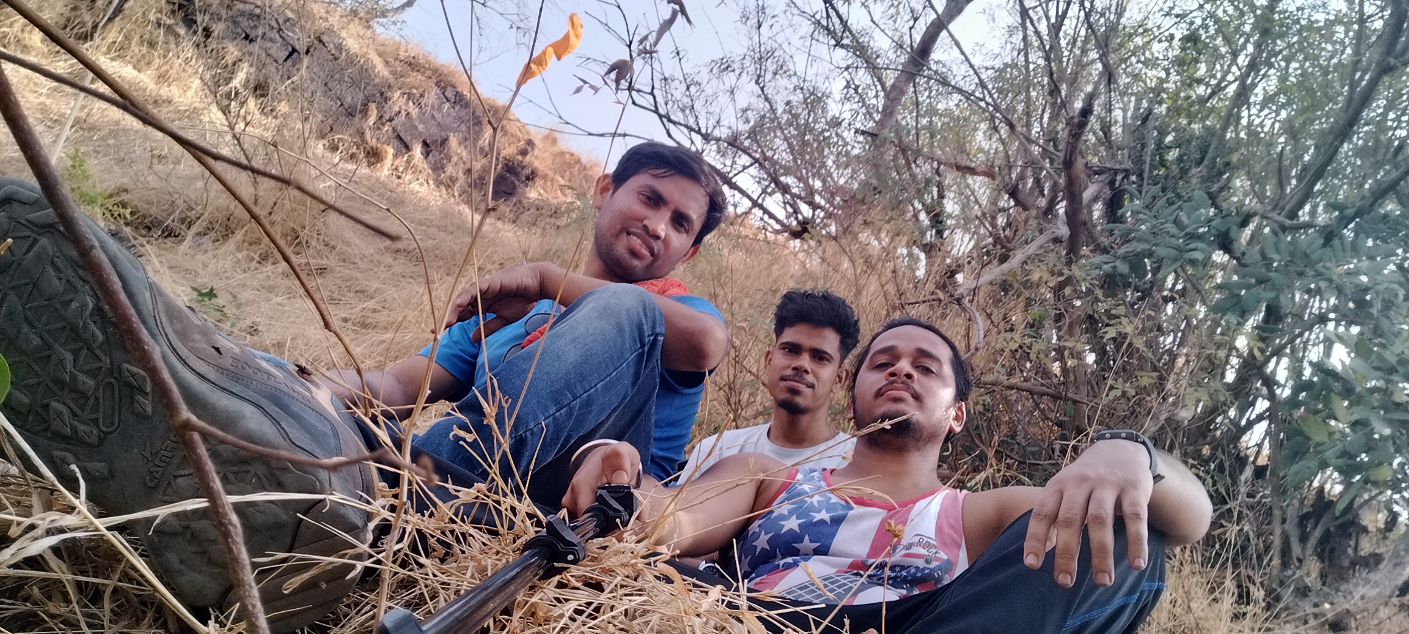
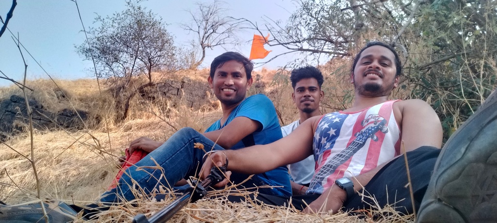
Me and my Frnds

Plz don’t forget to bring enough water bottles, I recommend 3liters per person and dehydration pills if possible, carry non oily snacks as I suggest in my every Trek, on the other hand no Stores for water and snacks in between the way, the trail is full of Woodland forest with no air flowing in summer,
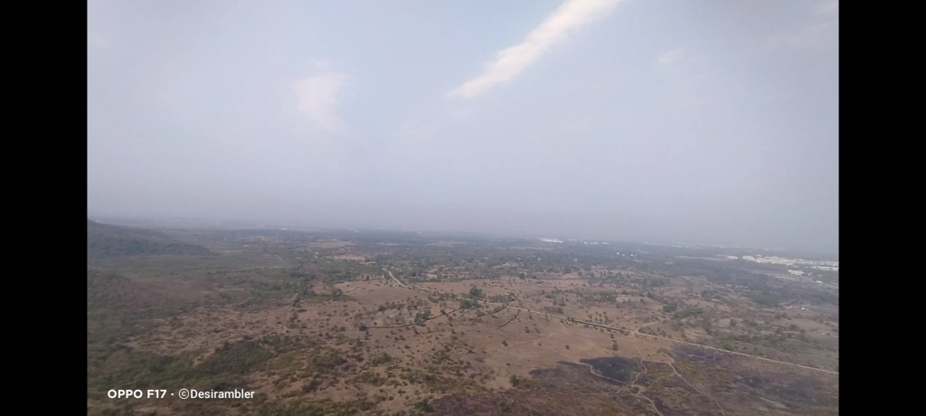
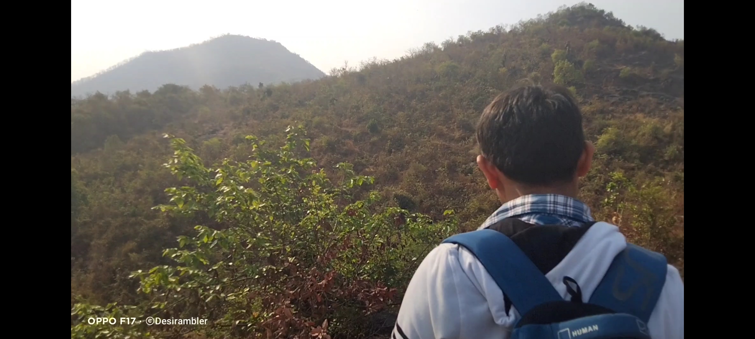
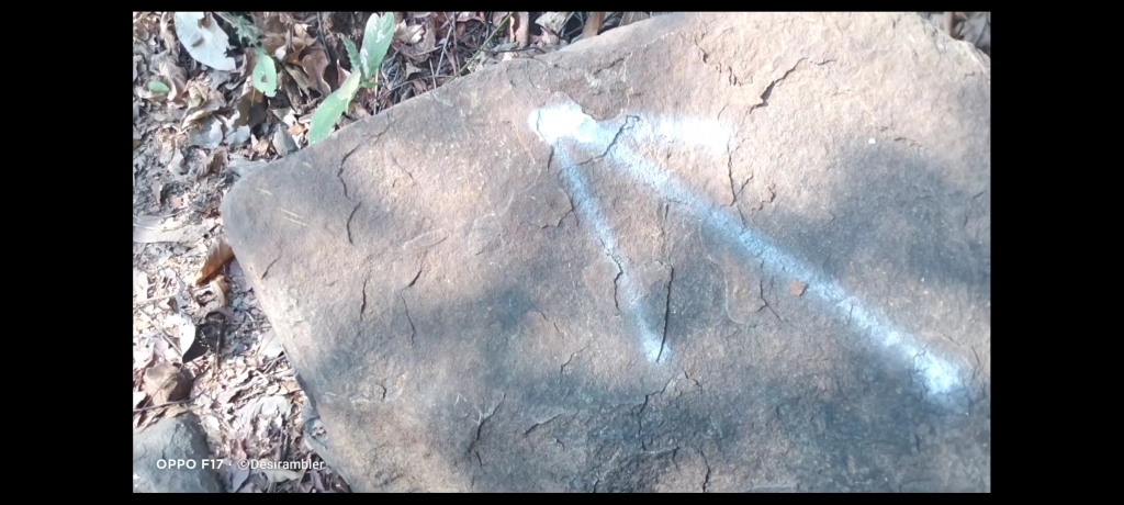
No chances of getting lost in the jungle because the villagers have marked arrow like picture on some countable rocks in the way to help the trekkers like us to find the route,
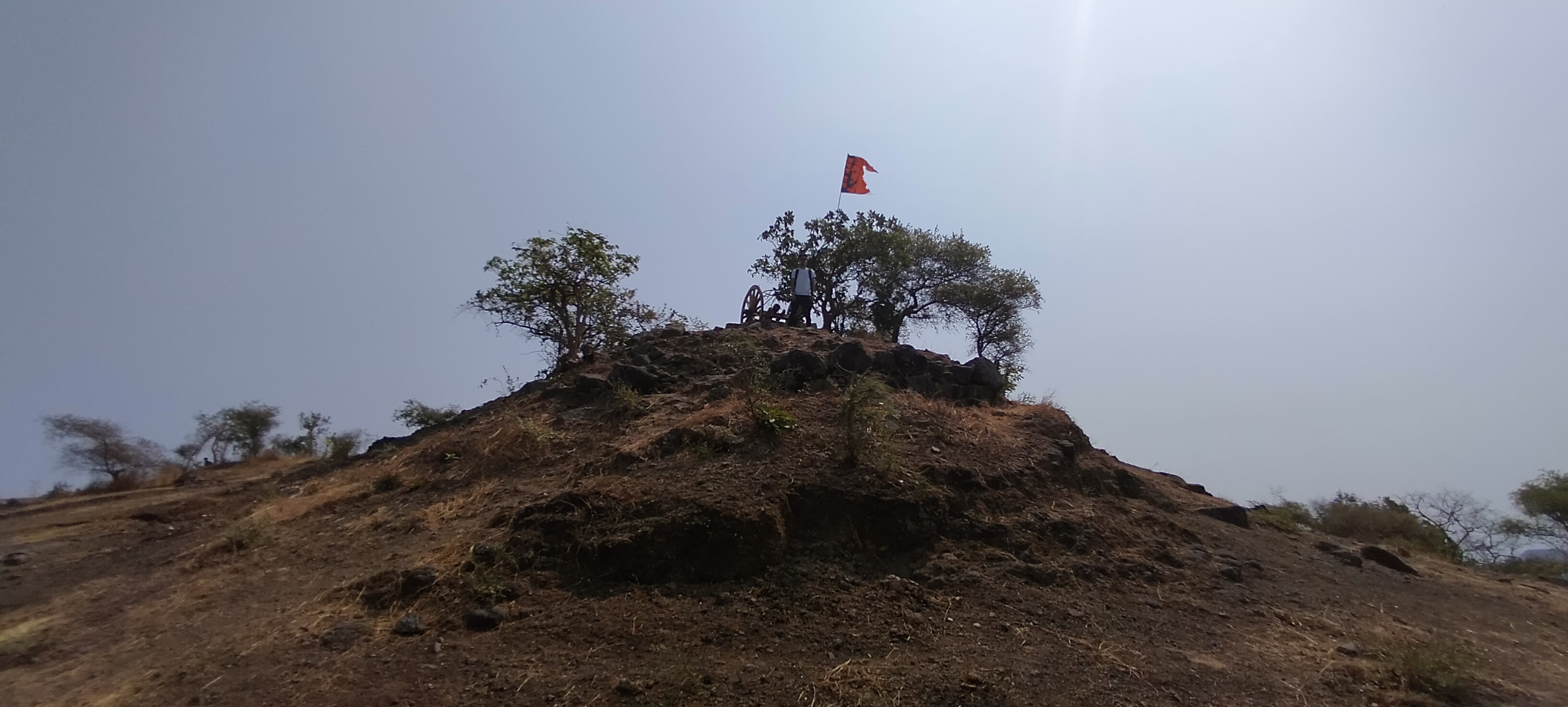
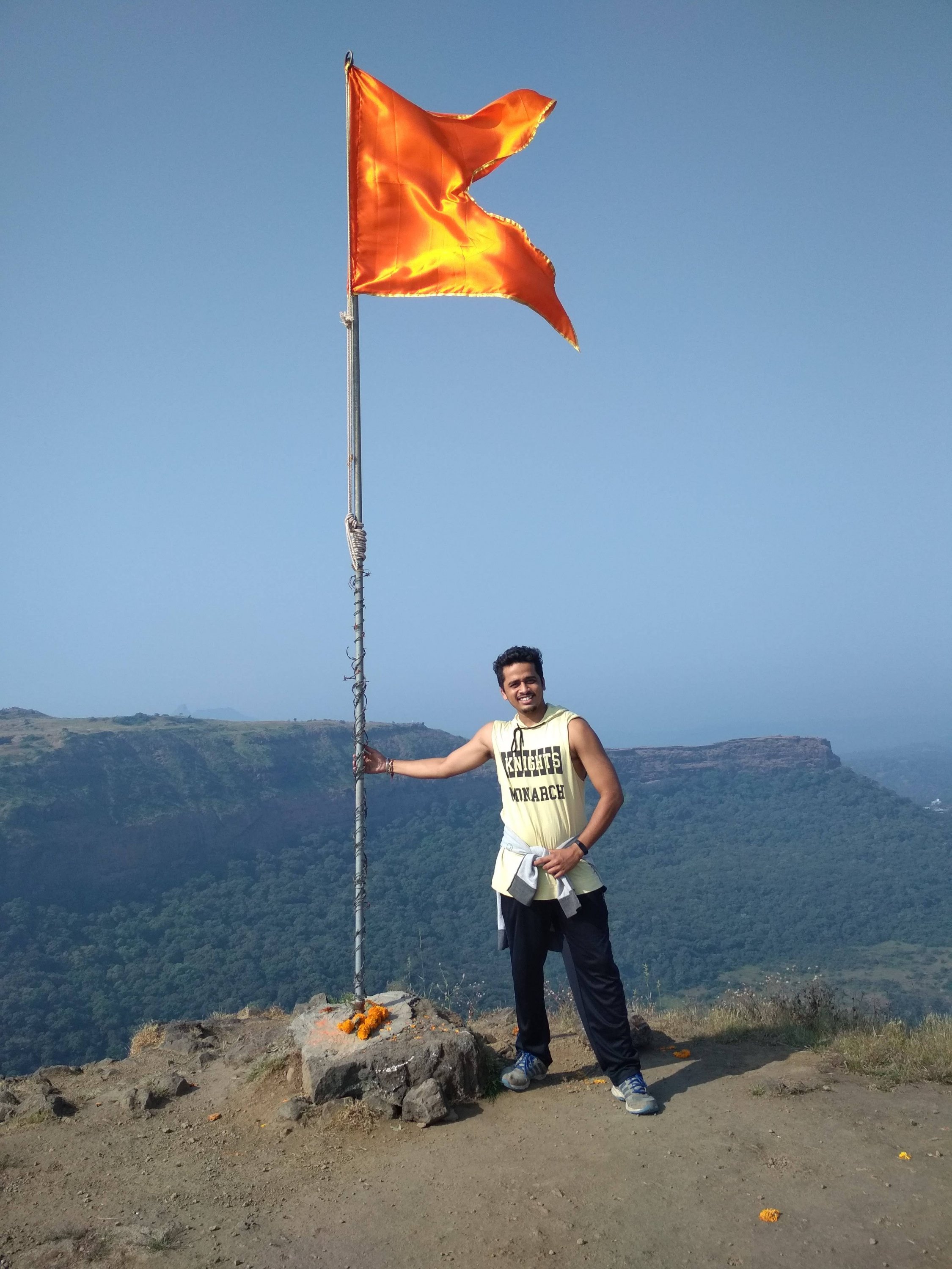
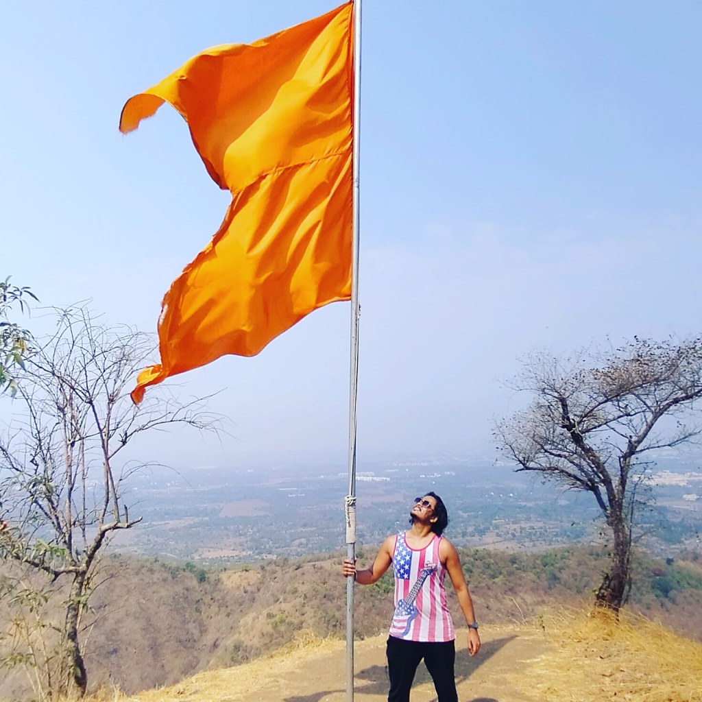
Me and my friends experienced a lot of humidity in the Climate, as i told you before there were no store in between the trail to buy water or snacks so i suggest to drink water sip by sip because the sweat i drained was incredible after 45mins of trekking my shirt was full of sweat so we decided to take our first break, i changed my shirt we had some non oily snacks and drank water our break last for 20 min which was a big one, now there was only on mountain to climb and this was the steepest one with slippery rocky way as i told you before, time comes when the climb becomes so hard that you lose self motivation and think of quiting the trek but you have to believe in yourself and keep trying look at th top the saffron colored flag and imagine yourself at that same place holding flag this thinking will energize your mind and allow the body to move forward, still 45 min still to climb after taking break, this time we found two local people climbing the fort as we were moving forward, as it was the occasion of Mahashivratri so they were going for worshiping Shiva Temple at the fort. They told us some interesting facts about the fort and some special places to Visit like the cave and the water stream which is 365 days of supply fresh chilling water as compare to us they lot more experienced in Climbing mountains because they were 15 to 20 years elder then us, i have always noticed that the final 100 steps remaining are the tougher steps to Climb.

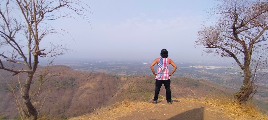
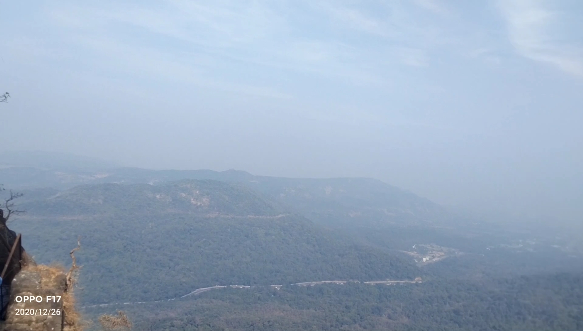
Below are the few pics clicked inside the fort
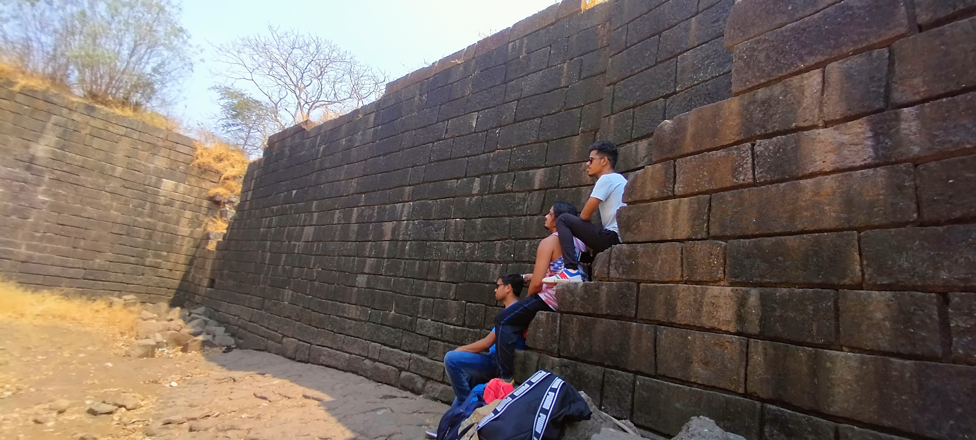
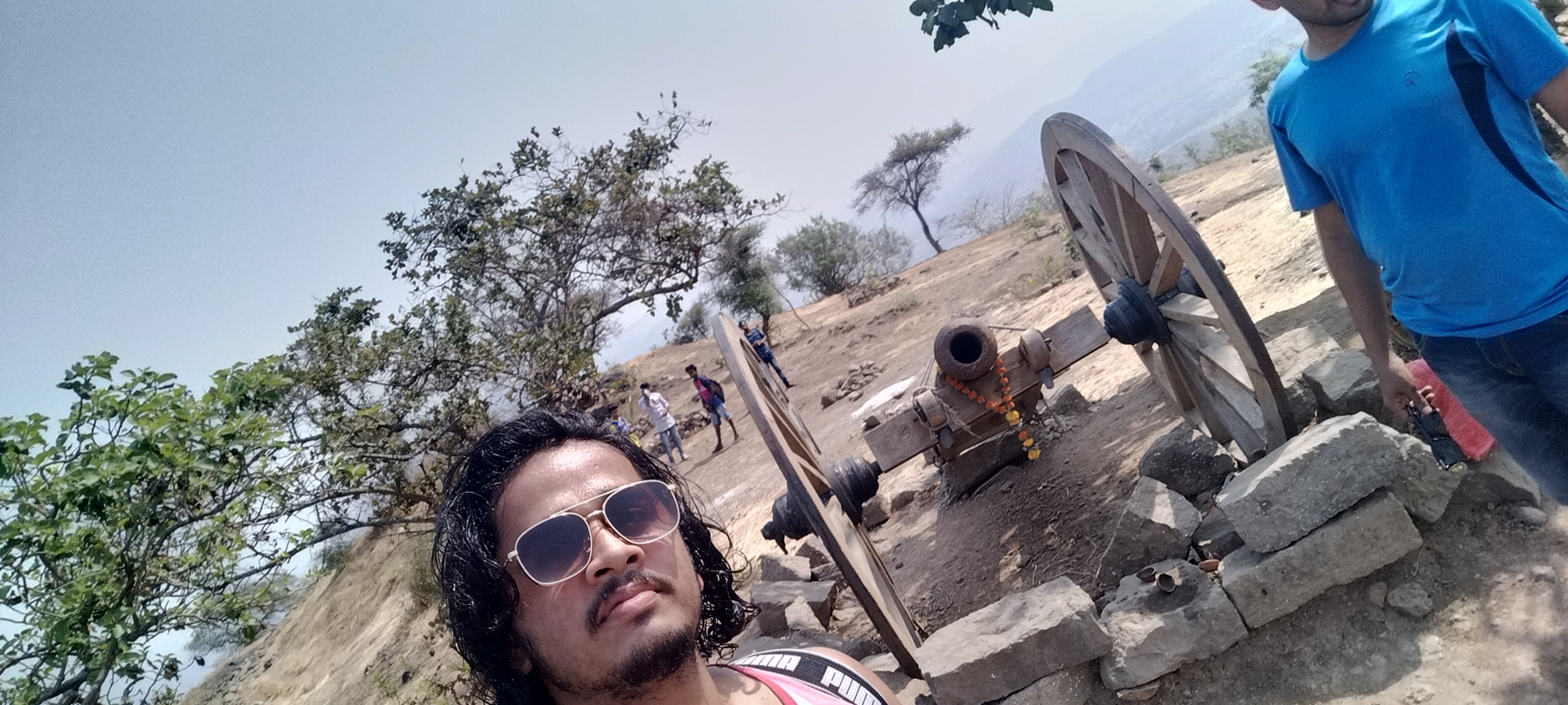
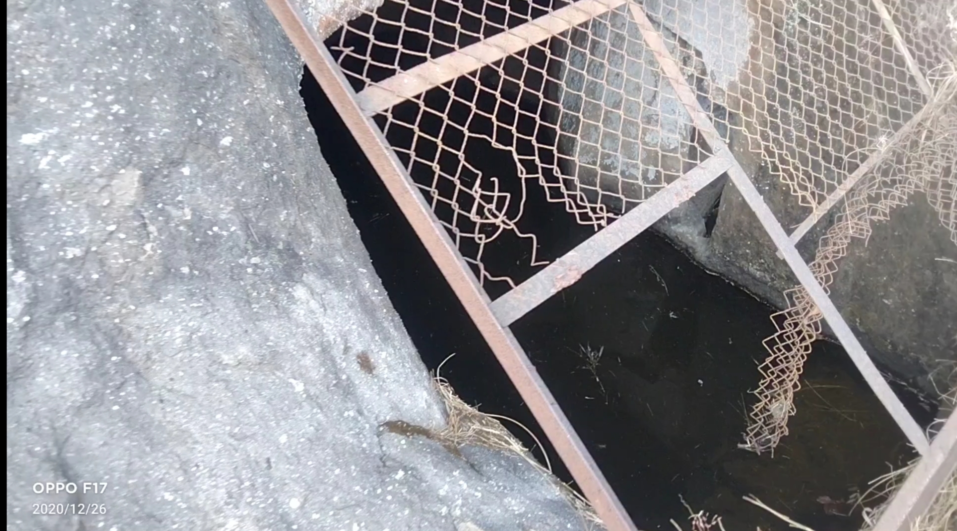
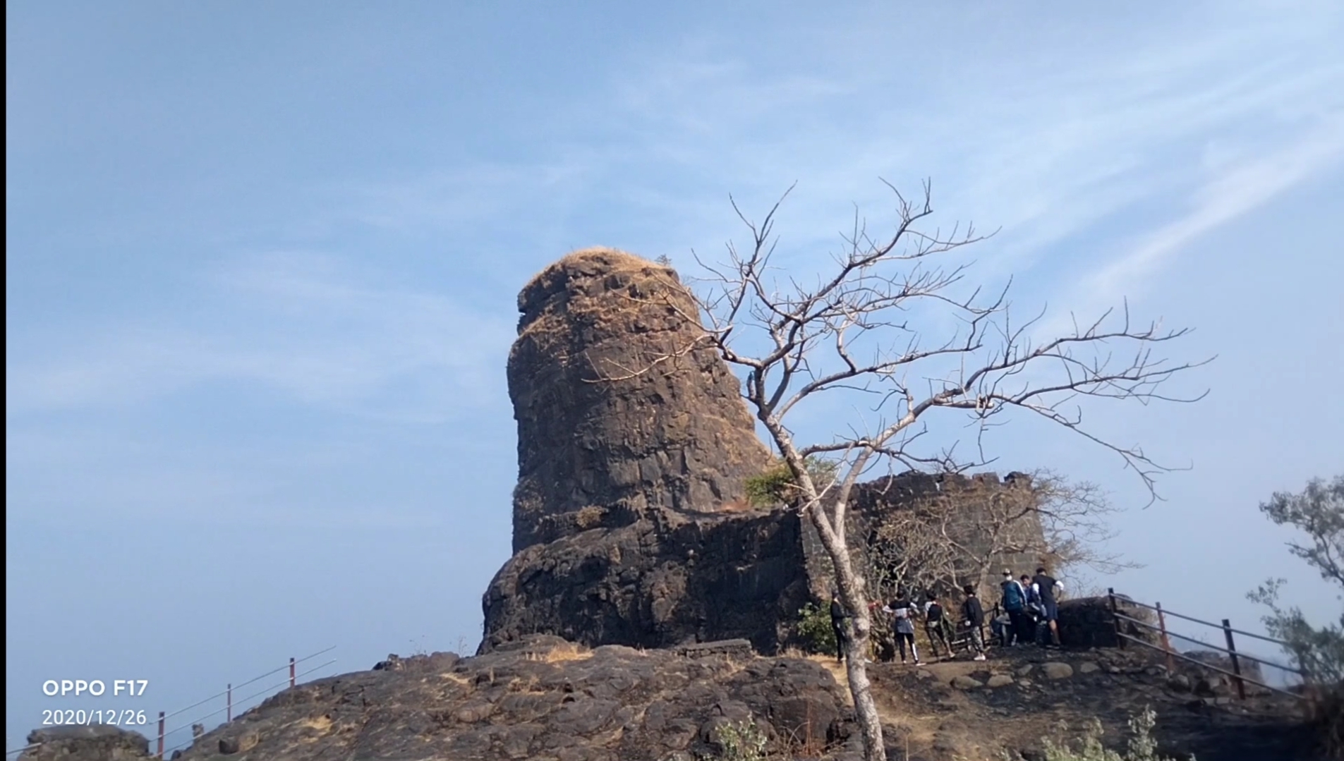
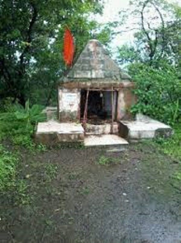
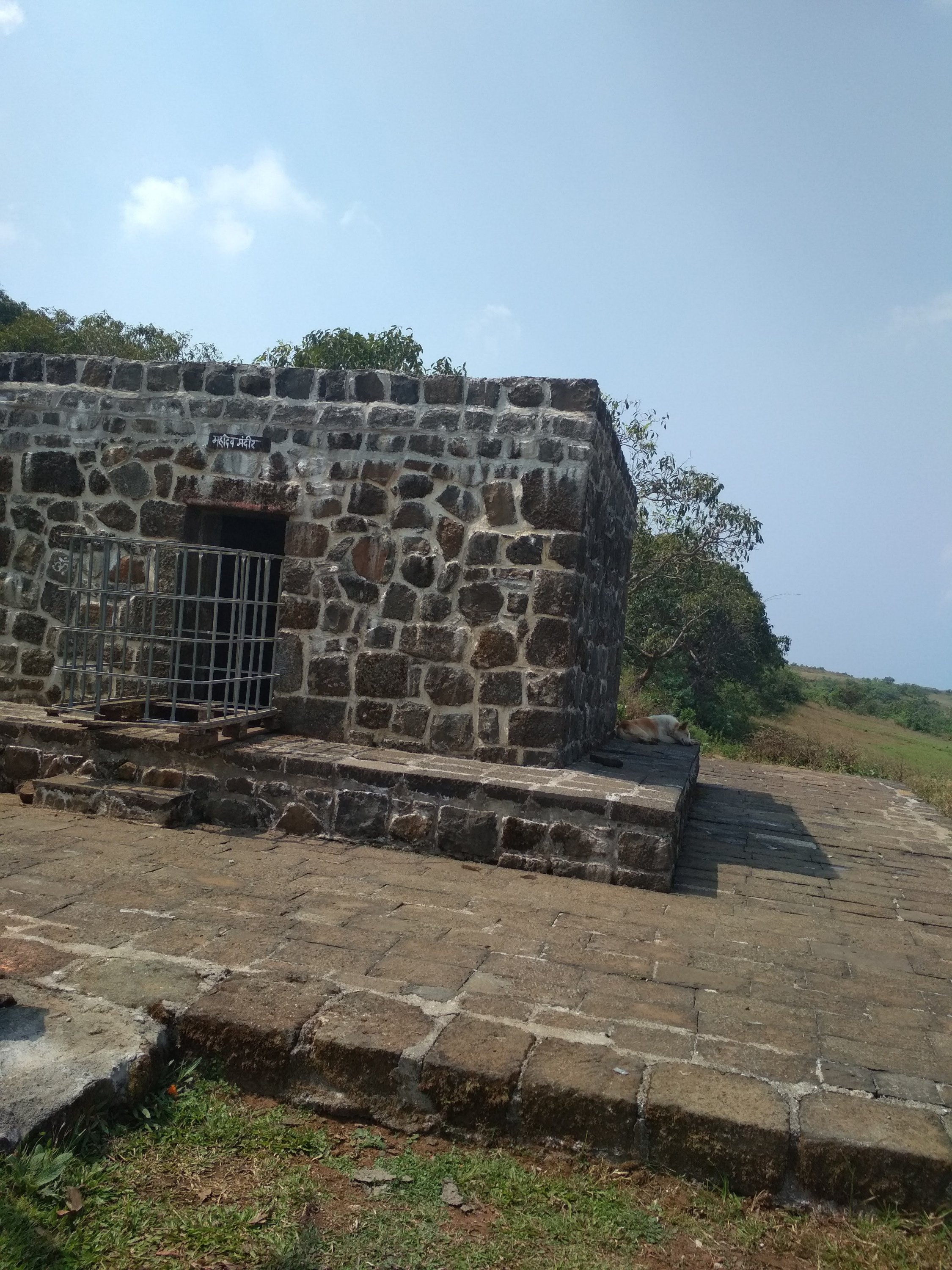
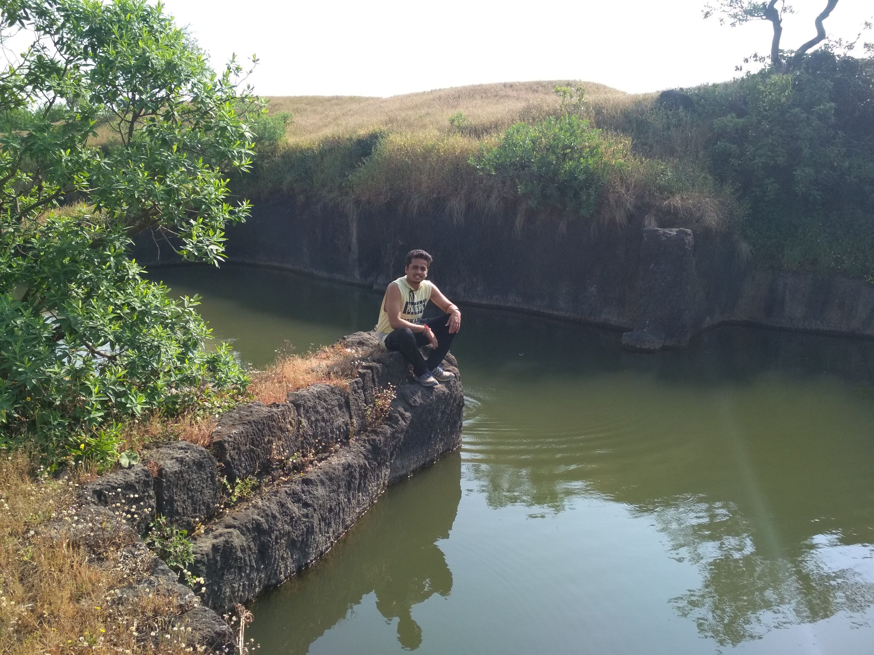
After reaching the top i saw that this fort is not big enough to roam and take rest as there no place to rest Like other big forts Like Mahuli, Sindhudurg fort and Prabhalgad, we decided to take to walk around the fort to see what it has like we found 4 water tank of which 1 was huge as you can see at the below picture and small Temple, small cannon many of the monuments was flushed away due to heavy rains and also no protection facility made by Government to protect it. the cave ans water stream as i mentioned was build in between the Climbing way but at the other side which was impossible to descent and Climb again because there is only one way to exit the fort if you are First time trekker at this fort like me, we spend 1hr at the fort at the raging sun was on our head which made us exhausted and Hungry, started our exiting way as soon as possible because our water supply was going to end soon, it was much difficult to go down because there were no support of rocks or any tree and the way was too steep, if unfortunately some thing happens and we slide down it could hurt us Badly. in 1 Hr we reach the start point and exited the place in hurry because we all were starving like hell.
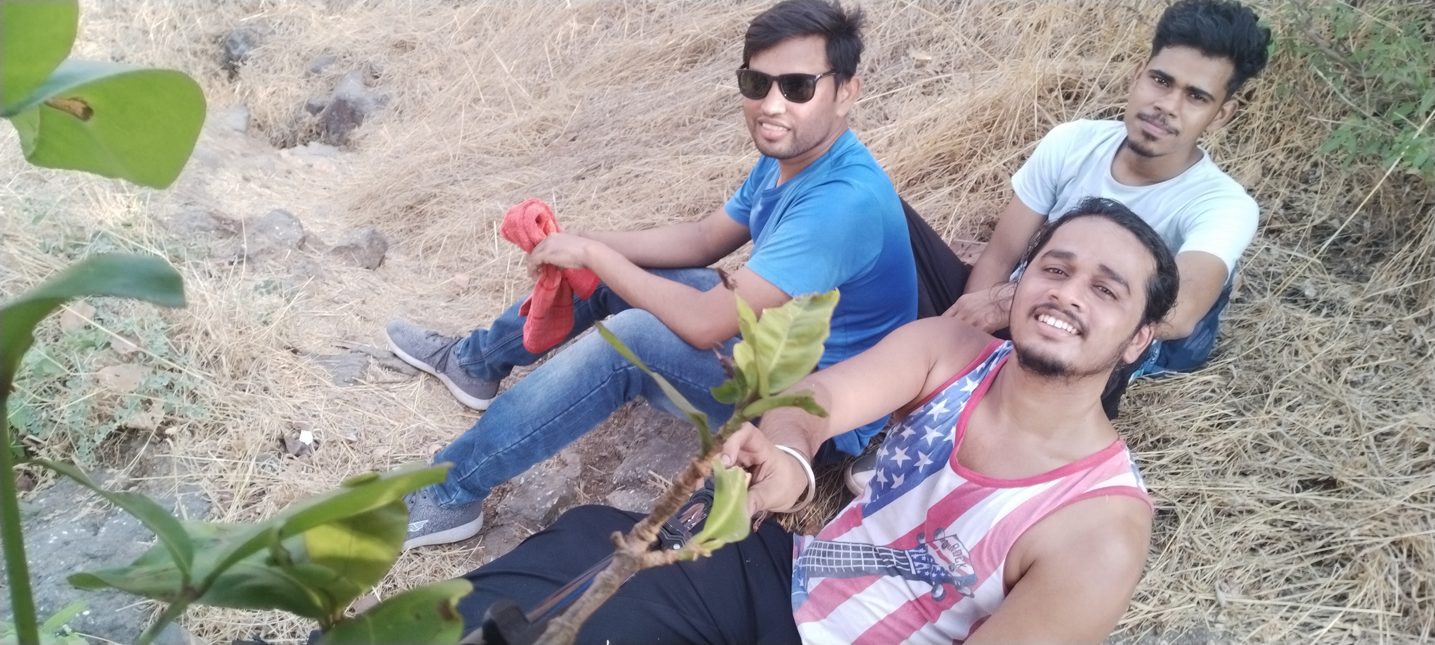
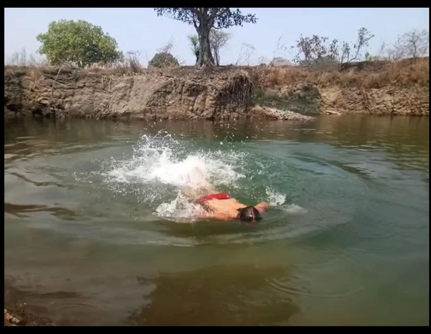
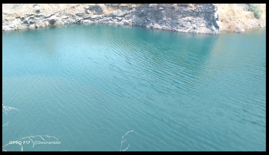
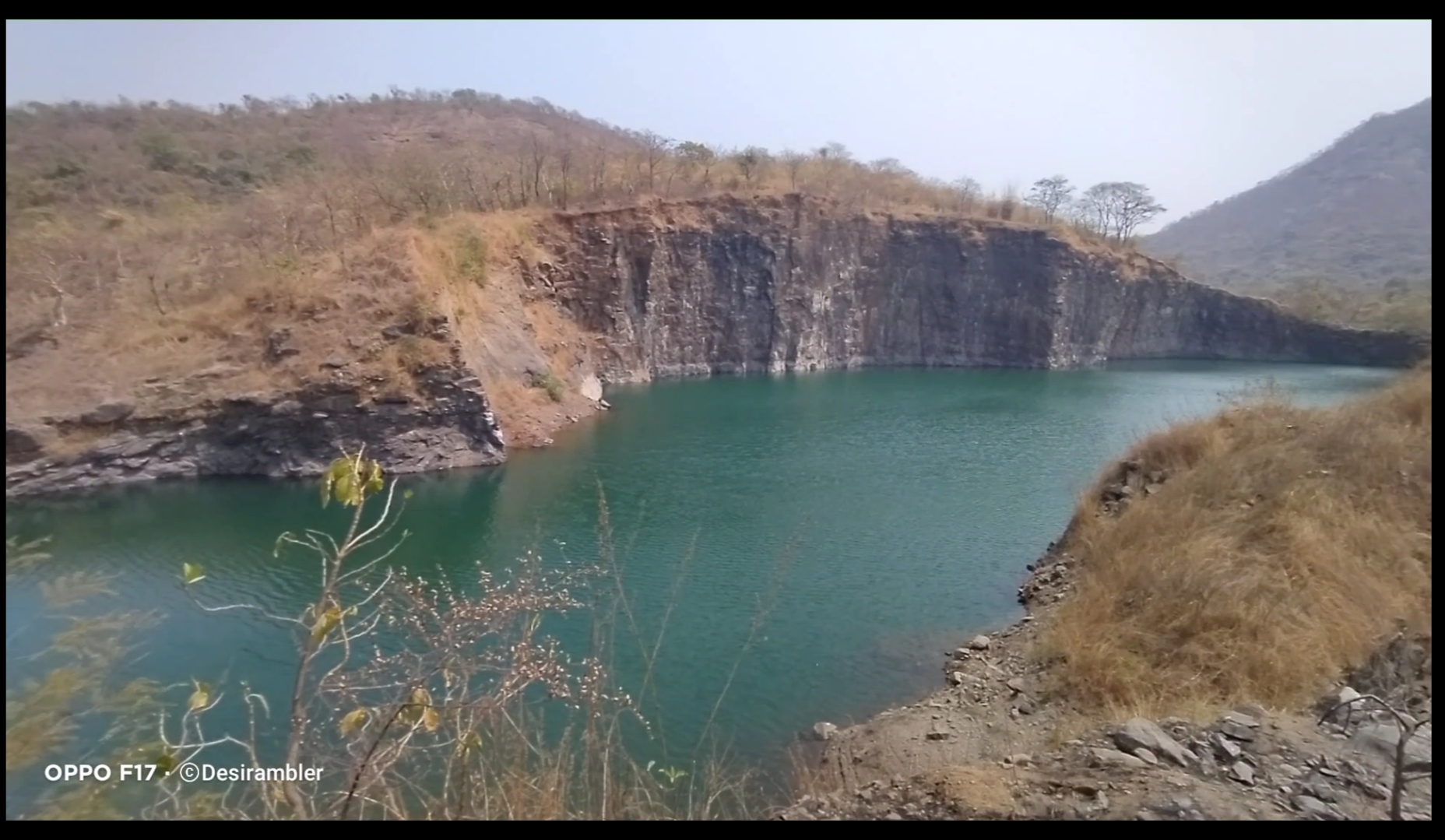
In between of the road we found a place which was amazing to watch and even to swim the best thing I do. It is the place where the rain water had been stored limitlessly.
To watch my full Experience video visiting Asawa fort click the given link below.

Thank you for reading My blog,

To support me Please like, comment, share and do follow my website.

Karnala fort and Bird Scantuary (guide)

Click the link below for the full video of personal experience visiting Karnala Fort

Fort Info


  • Height:- 439m (1,440ft)
  • Place:- Panvel, Maharashtra, India
  • Open:- 6am to 6pm
  • Distance:- 59km from  Andheri, Mumbai
  • Difficulty:- easy

Overview


Karnala fort is for beginners with easy level of trek, not confusing at all no chances of getting lost, best place to visit with family and friends, you will find cleanliness all around with no plastics or any kind of garbage thrown, birds chearping on every corner and non polluted oxygen to breathe a good experience to achieve.

Karnala Fort

How to reach


If you stay in Mumbai or nearby Mumbai it is very easy to travel the fort, I travelled on my own bike distance of  59km from Andheri, Mumbai which took 2hrs of travel time in morning without traffic, public transport is also an option the nearest railway station to reach is Panvel station from there you can rent a Rickshaw for further journey till the fort, rates varies from season to season. No Airport is available the nearest airport is Mumbai International Airport which is 59km away from the fort, Local Cabs is the best option to reach fort.

Sharing some pics, when I visited Karnala fort

Climbing the stairs
Water tank
Inside the Fort
Inside the Fort 2
Steep way
View from the top
Pinnacle point
View from the top 2
Saffron Flag

Thing’s to Carry


Safety comes first don’t fill up Ur backpack so that it becomes difficult to climb specially when it comes to rocky patches always carry minimum amount of products like 2 liters of water, some non oily snacks (2 or 3 packets), Power bank if needed, First Aid like bandages and antiseptic liquid, Face towel etc. Don’t forget to wear Trekking shoes and lite clothes like shorts and sweat shirt which is the best option.

Rules and Regulations


If you are planning to travel beautiful and amazing places like This pls follow some basic rules. You have to submit some amount eg: INR 200 if you are carrying any kind of plastics, deposit will be returned if you show them that you didn’t throw your plastic wrappers by showing them again while you exit the gate.
  • Follow the rules
  • Don’t throw plastics or Garbage
  • Don’t write your names on the Historic or any place
  • Don’t harm Animals or Birds
  • Don’t drink or smoke
  • Assist other people if needed

Things to do


Bird watching is one of the best things to do, Karnala Bird  Scantuary is home for 222 birds species of which 161 are resident species, 46 are migrant species 3 species are breeding migrant 7 species are passage migrants and 5 species are vagrant.

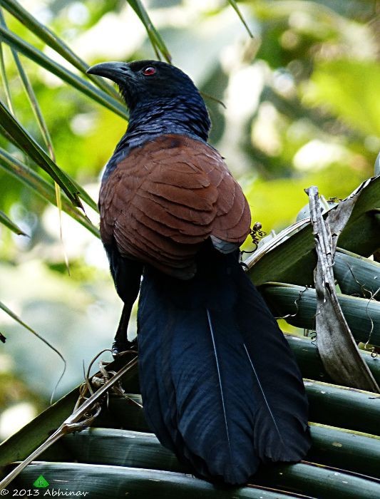
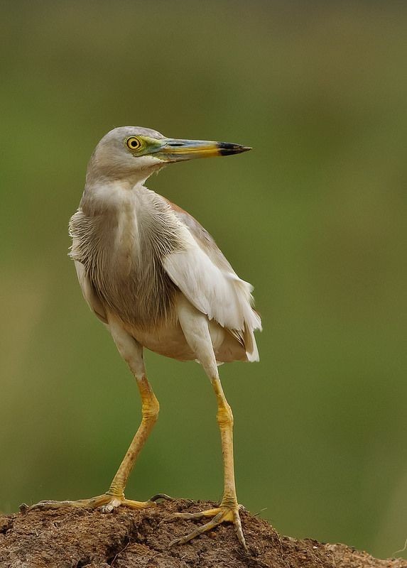
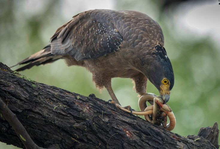
Below are list of some Birds


Greater Coucal
Indian Pond-Heron
Crested Serpent-Eagle
Shikra
Green Bee-eater

Trekking till the top of fort is also a great idea, It is One day trip, I suggest you to Travel in  weekdays when the crowd is less, 2hrs of Trail not a difficult one easy steps, little tough in-between the rock climb, It is always very hard to trail through the forest because you will find there is no wind blowing by the trees, but as soon as the Forest trail ends you will feel endless amount of Air passing through you which will help you to Trek further, no water facility or stores on the way, so carry your own water bottles and snacks, you will get to know some interesting historical places and monuments inside the fort, Water tanks, secret door known as Chor darwaja, you will feel amaze when you reach at top, you can take breaks in between to drink water and eat but don’t throw any garbage, when you will reach at top there are very few places to roam not a big fort as compared to other fort’s in Maharashtra like Mahuli fort and Lohagad.

Click the link below for the full video of personal experience visiting Karnala Fort.

Thank you for reading, if you like my post please Like share comment and follow.

Also subscribe to my YouTube Channel “Desirambler

Lohagad “Iron Fort”


Overview

Lohagad “Iron fort” is one of the many hill fort of Maharashtra State. Situated  close to hill station Lonavla and 52km (32mi) northwest of Pune, Lohagad rises to an elevation of 1,033m (3,389ft) above sea level. The fort is connected to the neighbouring Visapur fort by a small range. The fort was under the Maratha Empire for the Majority of the time, with a short period of 5 years under the Mughal empire. Elevation:- 1,033m. Location:- Pune District, Maharashtra, India. Function:- Fortifications. Parent:- Western Ghats
Trekking route

History
Lohagad has a long history with several dynasties occupying it at different periods of time Satavahanas, Chalukyas, Rashtrakutas, Yadavas, Bahamanis, Nizam’s, Mughals and Marathas. Chhatrapati Shivaji Maharaj captured it in 1648AD but he was forced to surrender it to the Mughals in 1655 AD by the Treaty of Purandar. Chhatrapati Shivaji Maharaj recaptured the fort in 1670 AD and used it for keeping his treasury. This fort was used to keep the loot from Surat. Later in Peshwa time Nana Phadnavis used this fort living for sometime and built several structures in the fort such as a big tank and a step-well. The lohagad fort also has caves on it’s south side facing Lohagadwadi.

Geography and Climate
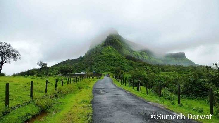
Lohagad is part of the Western Ghats. It rises to an elevation of 1,033m (3,389ft) above sea level, and is located to the south-west of the Visapur fort. The range divides the basins of the Indrayani River and Pavana Lake. Lohagad overlooks the Pavana reservoirs, located to the south of the mountain. The hills extends to the North West to a fortified spur, called Vinchukada (scorpion’s tail) because to its resembling shape. The four large gates of Lohagad are still in good condition and reasonably intact. During the monsoon, the top of the fort is covered with mist and clouds and becomes particularly wet with growing moss. The roads and trails leading to the hill are quite slippery at this time of the year and precautions are necessary to be taken while venturing the routes.

Sunrise

Accessibility
Lohagad fort can be accessed by various modes of travel. The nearest airport is the Pune International Airport. The proposed Navi Mumbai International Airport will serve as the nearest airport in the coming future. The nearest train station is Malavli, which can be accessed by suburban trains between Lonavala and Pune. The nearest major train station is Lonavla, on the Mumbai-Pune railway line. Lohagad is connected by the Mumbai-Pune Highway and can also be accessed from Paid via Kolvan and Dudhiware Khind for all vehicles. People can hike all the way to the fort. Bhaja caves is on the way to Lohagad if a small diversion is taken. This walk is particular favourite for trekkers, especially in the monsoon season. It is a simple, very scenic and pleasant trek and the distance from Malavli and Lohagad can be covered in around 2 hrs. A tar road exists all the way to the Top from Malavli station and one can hire a tempo or cap to the top. The best season to visit is monsoons it is absolutely safe and many vendors selling onion fritters and lemonade are present by the roadside. One can also cut across the hills as well.The fort has around 350 steps from the base, and it is not advisable to take a personal car as the road is single lane, sleep & very Bad. Variety of Insects can also be spotted in these hills.


Nearby attractions

  • Bhaja caves – 2km (1.2mi) from Malavli, once home to Buddhist monks.
  • Karla Caves
  • Lonavla 20km (12mi), famous and scenic hill station.
  • Aamby Valley City – 22km (14mi) from Lonavala.
  • Visapur

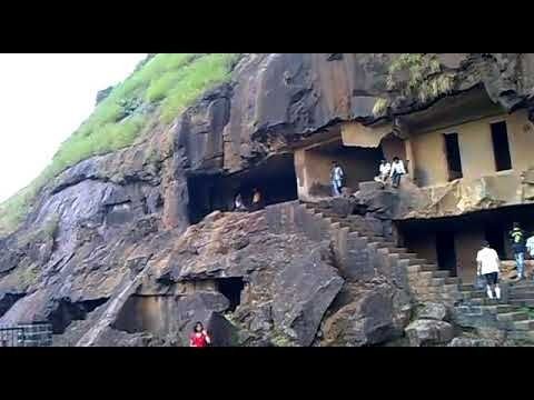
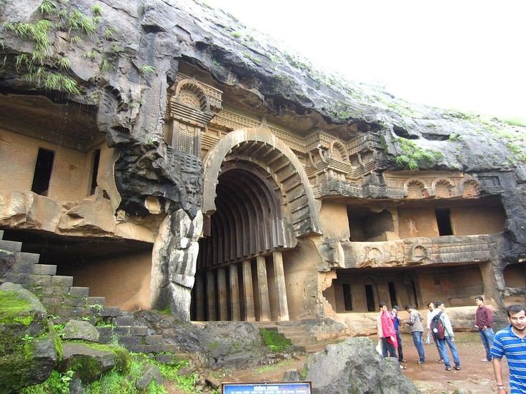
Bhaja caves
It is a group of 22 rock cut caves dating back to the 2nd century BC located in the city of Pune, India. The caves are 400 feet above the village of Bhaja, on an important ancient trade route running from the Arebian sea eastward into the Deccan plateau (the division between North India and South India). The inscription and the cave temple is protected as a Monument of National importance, by the Archaeological Survey of India per Notification no 2407-A.

Bhaja Caves

Karla Caves
It is complex of ancient Buddhist Indian rock-cut caves at Karli near Lonavla, Maharashtra. It is just 10.9 kilometers away from Lonavala. Other caves in the area are Bhaja Caves, Patan Buddhist cave, Bedse caves and Nashik caves. The shrines were developed over the period from the 2nd century BCE to the 5th century CE. The oldest of the cave shrines is believed to date back to 160 BCE. having arisen near a major ancient trade route, running eastward from the Arabian into the Deccan.

Karla Caves

Lonavala
Refer to Lonavla blog in my explore menu.

Aamby Valley City
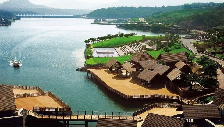
It is a township developed by the Sahara India Pariwar in Pune District in the Indian state of Maharashtra. It is about 23km (14mi) from Lonavala, 87km (54mi) from the city of Pune and 120km (75mi) from the city Mumbai. The township is connected by road of Mahabaleshwer. City is spread over 10,600 acres (4300ha) of hilly terrain. 3 large Man made lakes have been created by constructing dams. The largest lake is 1.5km in length, it also boasts of a PGA 18 hole golf course. This city was so designed and master planned by Gruen-Bobby Mukherji and Associates in the year 2003.

Aamby Valley City

Visapur Fort
It is at a Higher altitudes than Lohagad fort, water tanks, old houses, arch, waterfalls, temples are on the Sahyadri Fort. There are two buildings which are Roofless now, are government offices from the past. A stone built home at Visapur fort called Peshwas Wada popularly. Lord Hanuman carving seen the fort, there are many temples dedicated to him at the fort. Visapur is an ideal trekking destination near Mumbai, Pune, Lonavla.

Visapur fort

Below are the Clicked images at the top of the Fort with details

Shiva Temple built from black rock one of the toughest rocks in the world.

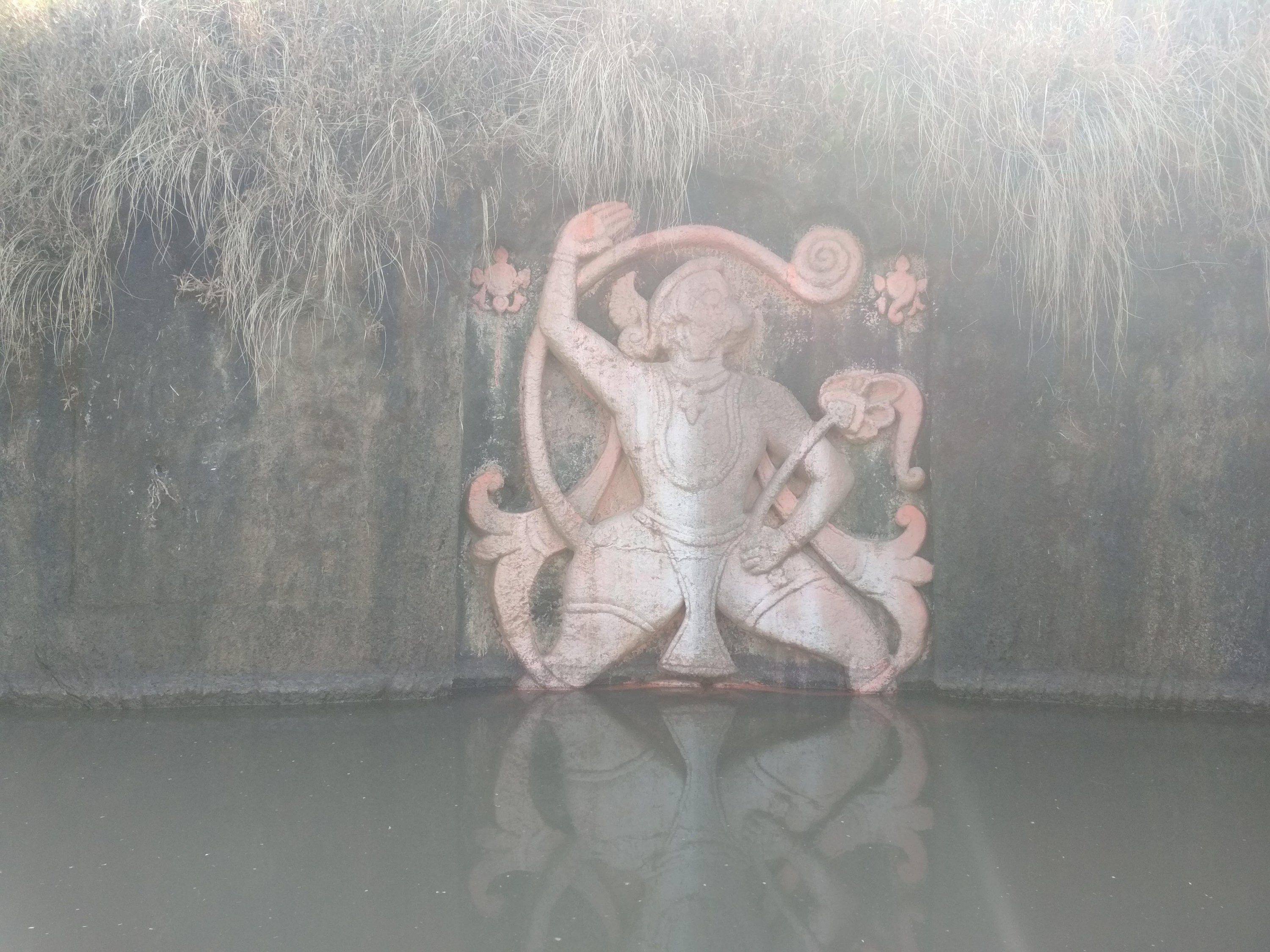
A statue of Lord Hanuman sculpted in between in the water tank

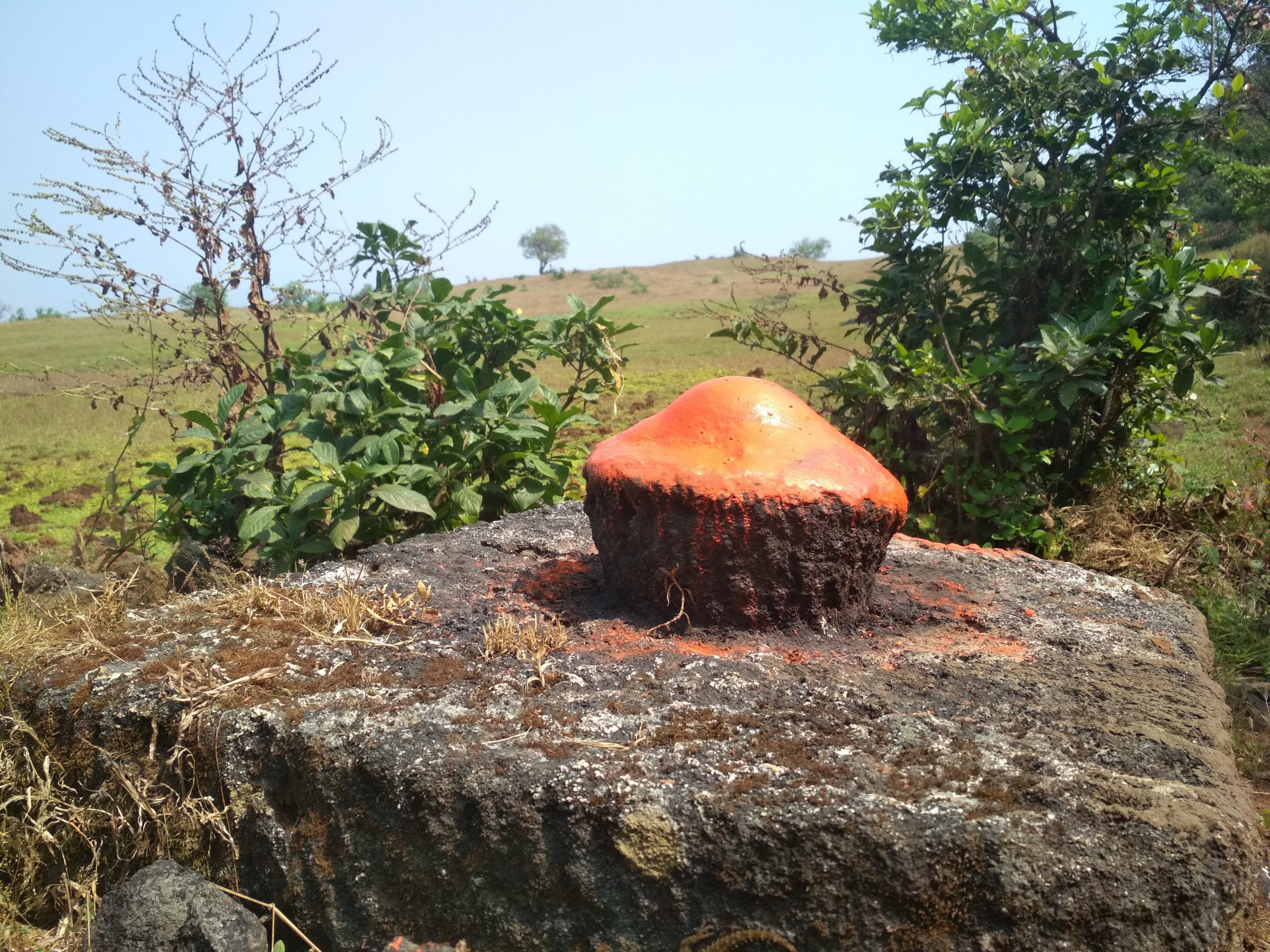
Sculpted rock as Shiv Ling built in between the walking path.

Broken bridge, people used to travel from one end to another from above the stored water.

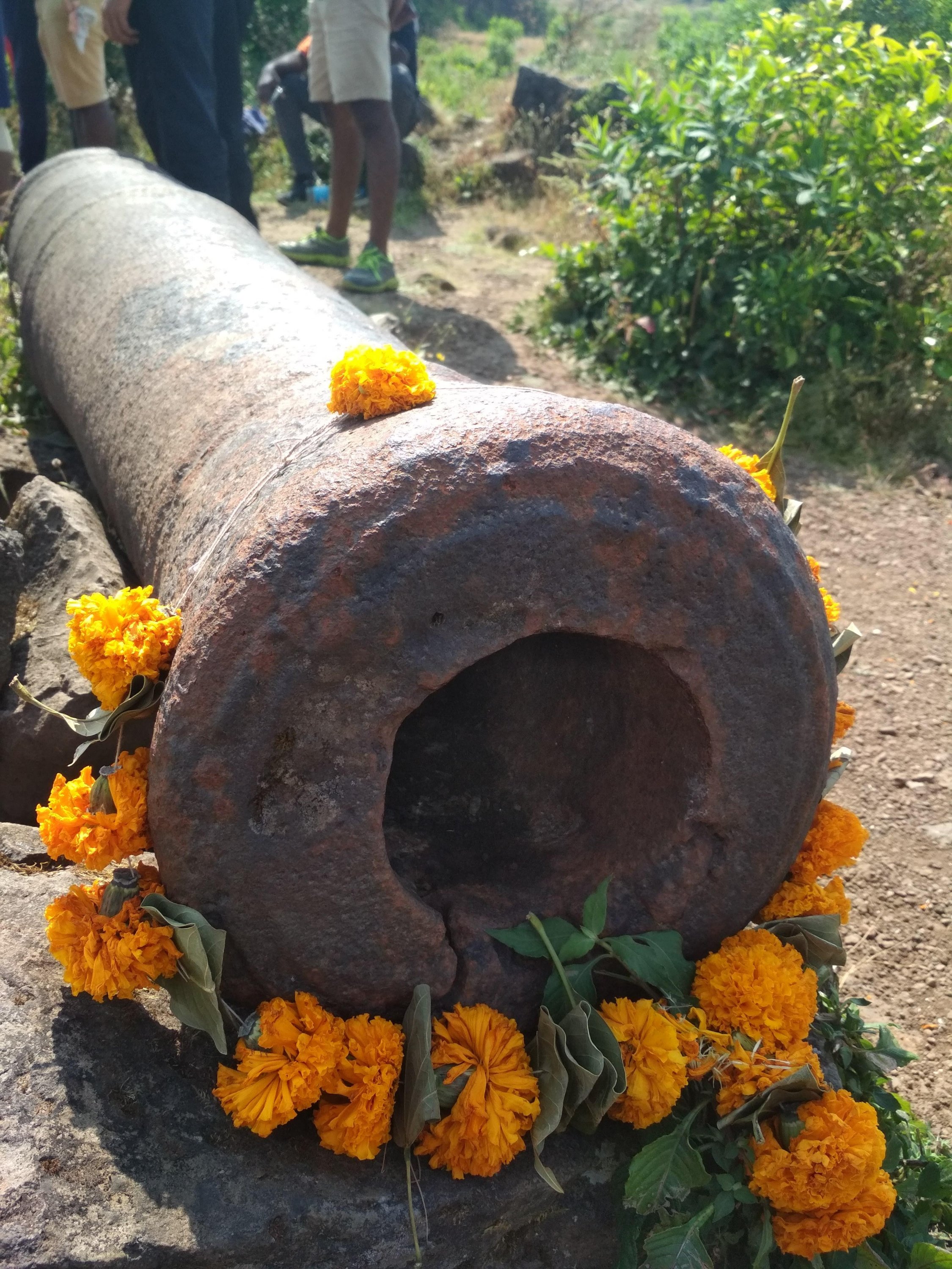
Cannon which been used by Great Marathas during wars, Weighing Almost more than a one ton approx.

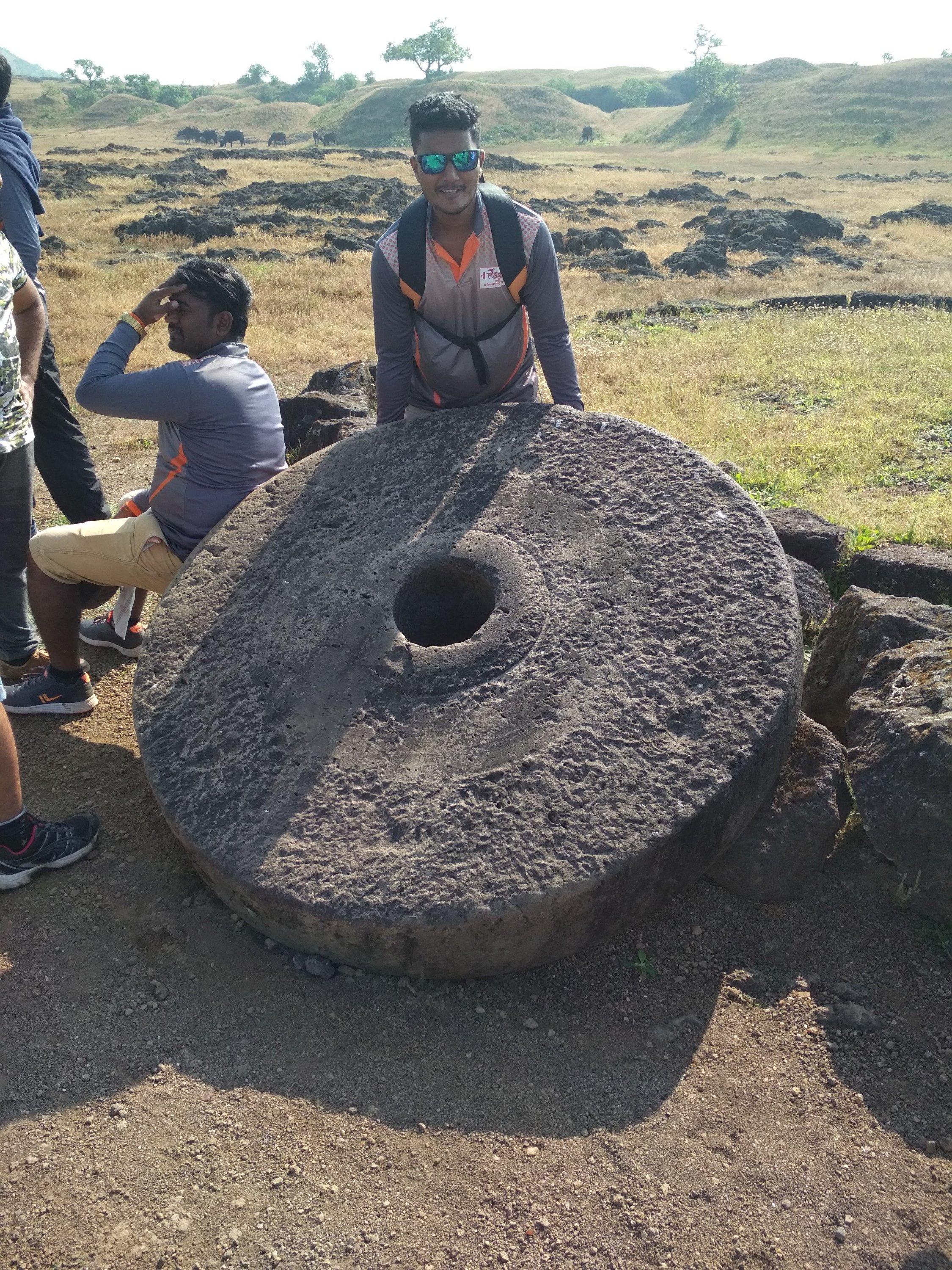
Roller not in a normal size as compared to household one

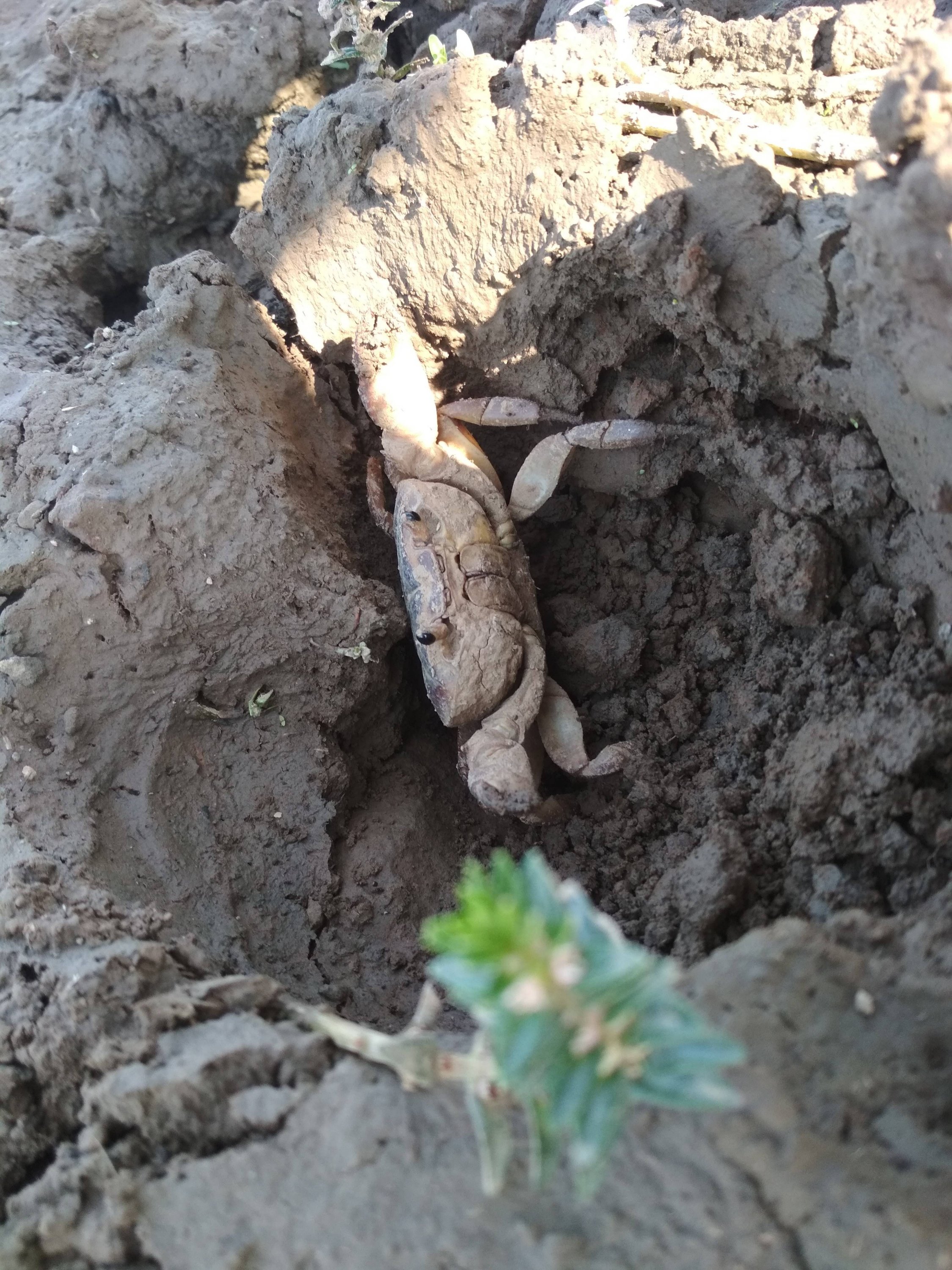
Mud crab specially found inside the Fort territory still exists.

Highest point at the Fort, holding the saffron colour flag, which is dedicated to GREAT MARATHA WARRIORS.

Thanks for watching and reading if you like my blog please Like share comment and follow for more Content like this.

Kalsubai “Everest of Maharashtra”

Introduction

Kalsubai is a mountain in the Western Ghats, located in the Indian State of Maharashtra. It’s summit, situated at an elevation of 1,646 meters (5400 ft), is the highest point in Maharashtra. The mountain range lies within the Kalsubai Harishchandragad Wildlife Sanctuary. It is visited throughout the year by avid trekkers, Kalsubai temple devotee’s and Wildlife enthusiasts alike.

  • Elevation : 1,646m
  • Mountain range : Western Ghats
  • Age of rock : Cenozoic
  • Easiest route : Hiking
  • Type of salt : Basalt, Laterite
Kalsubai mountain

Geography and topography

Kalsubai peak in western ghats to the north of the Bhandardara backwaters (as seen from 20000 ft), the peak along with the adjoining hills spans along a downroad-slanting east to the west axis eventually merging with formidable escarpment of the Western Ghats at almost right angles. Along its length, they form a natural boundary demarcating the Igatpuri Taluka, Nashik district at its north from the Akola Taluka, Ahmednagar district as it’s south. The mountain itself lies on the Deccan Plateau, with its base at an elevation of 587 meters (1926 ft) above mean sea level. The mountain along with adjoining hills forms an enormous catchment area for the Arthur Lake which it overlooks.

How to Reach

The mountain can be viewed in its entirety from Bari village located on its Eastern side, about 6km/ 3.7 mi from Bhandardara. It can be reached by road, via Igatpuri on the Mumbai-Nasik route. Trains leaving from Mumbai provide an alternate mode of transport to kasara railway station, with connecting State Transport buses, plying on the Akole-kasara route, leading up to the base village. Private vehicles from Kasara provide yet another alternative to public transport.

Igatpuri view

Trekking

Kalsubai is 6.6 km (4.1mile) long trek with elevation gain of around 2,700 feet (820). This is a one day trek having a moderately hard difficulty level, with lush green landscapes and multiple waterfalls, the peak attracts many trekkers and devotee’s determined to scale the mountain. To reach the summit there are well-designated trekking routes. The most popular route through the eastern mountain face taking off from the base village Bari. The Wali river, a tributary of pravara, takes origin on its Eastern slope and flows like a stream through the outer fringes of Bari, a short distance away from the stream a Hanuman temple has been built. This provides an important Landmark to commence the trek as well as a resting post for those nearing the final lap of their trek.

Group of trekkers and their ⛺ tent’s

The route via Indore is relatively unexplored as not many people are aware of it. Unlike the regular route via Bari, which has fixed ladders, cemented steps and several people flocking during the monsoon, the route via Indore is raw with stone steps and a huge iron chain for support at the dangerous patches.

Kalsubai Temple

A traditional prayer service is held every Tuesday and Thursday by a priest, during the festival of Navratri a fair comes to be organized each year with many stalls being set up near the summit to provide Pooja materials to the devotee’s. On these special occasions, a local villagers participate in this fair which helps to supplement their livelihood and as well as provides them an opportunity to revere the mountain.

Kalsubai Temple
View from Kalsubai Temple
Inside of Temple

Ecology

Kalsubai comes to be protected under the precincts of a sanctuary. It nurtures nature in the vast stretches of forests nestled along their slopes and valleys. Open high altitude forests dominate the scene. In the post monsoon period, the region witnesses a dramatic makeover with flowers of different colours and varieties blossoming along the landscape. This attracts a hoard of butterflies, bees, dragon flies, and other insects to feed upon the precious nectar. During winter morning reptiles like snakes, lizard could be spotted sun bathing near the ladders.

Dragon fly

Places of Interest

  • Bhandardara dam
  • Pravara river
  • Arthur Lake
  • Ramsej fort
  • Harihargad
  • Brahmagiri
  • Anjaneri
  • Ghargad
  • Bhula
  • Tringalwadi
  • Kavnai

Bhandardara dam located 6km away, impounds the Pravara river to form the Arthur Lake.

Arthur Lake the clear and placid lake is bounded by thick canopied forests of the Sahyadri hills. The lake gets its water from the Pravara River. It also attracts one’s attention from the summit.

Umbrella falls are formed as water from the Arthur Lake is released periodically to drain downstream.

To the north of the mountain range forts such as Ramsej, Harihargad, Brahmagiri, Anjaneri, Ghargad, Bahula, Tringalwadi, Kavnai can be seen. To the east one can spot Aundha, Vishramgad, Bitangad to the west Along, Madangad, kulang, Ratangad, and to the south Pabhargad, Ghanchakkar, Harishchandragad can be seen.

This is not end yet enjoy the mind-blowing pictures of Kalsubai.