
You will also like my previous post on list given below
- HEAVEN of Maharashtra (KONKAN)Short Information about Konkan reagion
- A Small Village called Mungea-small-village-called-munge
- Mumbai MERI JaanDiscover the City of dreams
- Lonavla the Hill StationReliable Information about Lonavla for tourism
- Alibaug built for TourismAlibaug Tourism
Overview
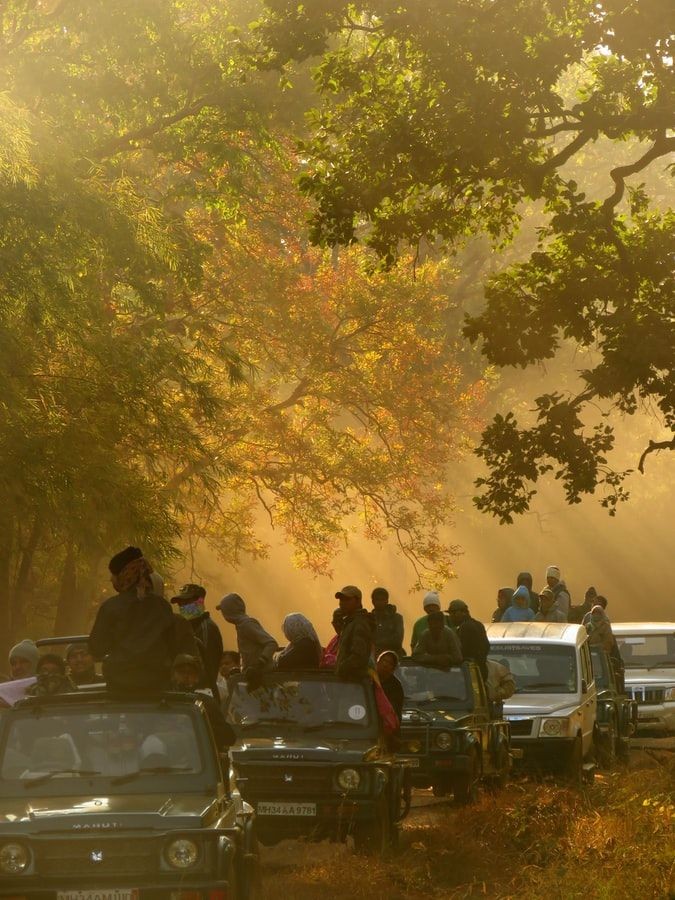
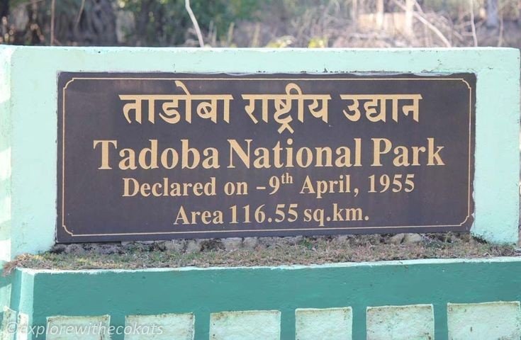
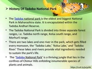
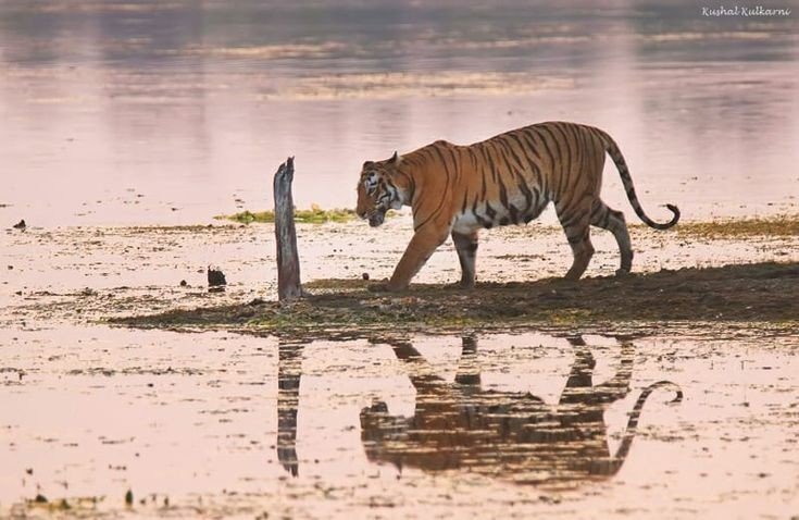
Tadoba Andhari Tiger Reserve in Chandrapur district of Maharashtra is The oldest and Largest Wild life National Park in State. It is one amongst India’s 43 Tiger Reserve. It is Maharashtra’s oldest and largest national park. Created in 1955, the reserve includes the Tadoba National Park and the Andhari Wildlife Sanctuary. The reserve consists of 577.96 sqkm (223.15 Sqmi) of reserved forest and 32.51 sqkm (12.55 Sqmi) of protected forest.
The name Tadoba is from the name of the God Tadoba who was also called Taru, he was praised by the tribal people who lived in the dense forests of the Todoba. Legend hold that Taru was a village chief who was killed in a mythological encounter with a Tiger. A shrine dedicated to the God Taru now exists beneath a huge tree, on the banks of the Tadoba lake.
History
Legend hold that Taru was a village chief killed in mythology encounter with a Tiger. Taru was diefied and a shrine dedicated to Taru now exists beneath large tree on the banks of Tadoba Lake. The temple is frequented by adivasis, especially during a fair held annually in the Hindu month of Pausha (Dec-Jan). The Gond King’s once ruled these forests in the vicinity of the Chimur hills. Hunting was banned in 1935. Two decades later, in 1955, 116.54 sqkm (45.00sqmi) of this forest area was declared a national park. Andhari Wildlife Sanctuary was created in the adjacent forests in 1986. In 1995, the park and the sanctuary were merged to establish the present Tiger reserve.
Geography
Tadoba Andhari Reserve is the largest national park in Maharashtra. The total area of the reserve is 625.4 sqkm (241.5sqmi). This include Tadoba National Park, with an area of 116.55sqkm (45sqmi) and Andhari Wildlife Sanctuary with an area 508.85 sqkm (196.47Sqmi). The reserve also includes 32.51 sqkm (12.55sqmi) of protected forest and 14.93sqkm (5.76sqmi) of uncategorised land.
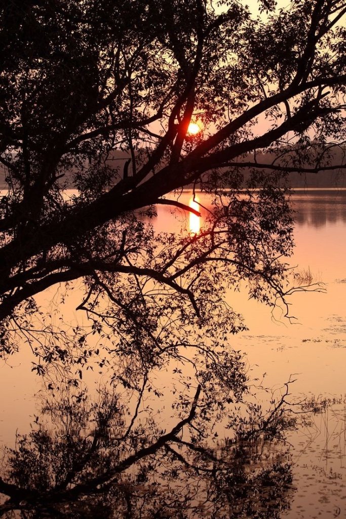
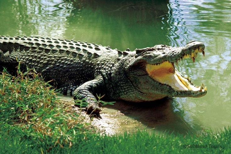
To the south-west is the 120 hectares (300acres) Tadoba lake which acts as buffer between the parks forest and the extensive farmland which extends up to Irai water reservoir. This lake is a perennial water source which offers a good habitat for Muggar Crocodiles to thrive. Other wetland areas within the reserve include Kolsa Lake and the Andhari river.
Tadoba reserve covers the Chimur Hills, and the Andhari sanctuary covers the Moharli and Kolsa ranges. It is bounded on the Northern and Western sides by densely forested hills. Thick forests are relieved by smooth meadows and deep valleys as the terrain slopes from north to south. Cliffs, talus and caves provide refuge for several animal. The two forested rectangles are formed of the Tadoba and Andhari ranges. The south part of the park is less hilly than the remainder.
Flora
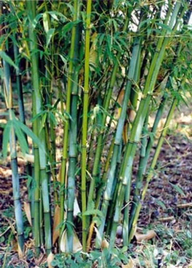
Tadoba Andhari Tiger Reserve in Tadoba is a predominantly southern tropical dry forest with dense woodlands comprising about 87% of the protected area. The most popular species of the trees are Teak and Bamboo in this forest. Others trees include.
- Ain(Crocodile bark)
- Bija
- Dhauda
- Hald
- Salai
- Semal
- Tendu
- Behede
- Hirda
- Karaya Gum
- Mahua Madhuca
- Lannea coromandelica
- Bamboo thickets
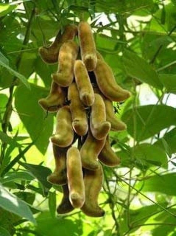
- Climber Kach Kujali (Velvet bean)
- Bheria
- Bija
- Beheda
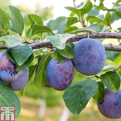
Axlewood is a fire resistant species growing here. Palas or flame of the forest adds vibrant colour of the forest, Black plum trees grow in the riparian habitat around the lake. At the waterhole at Panchadara, huge Arjun tree’s are seen, Green grass is found throughout the reserve.
Fauna
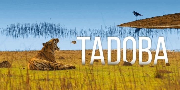
Tadoba National Park is a popular Tiger reserve known as “The Land of Tigers” as large number of Tigers are found here, Aside from the keystone species , the Bengal Tiger, Tadoba Tiger reserve is home to other mammals, including
Land Mammals
- Indian leopards
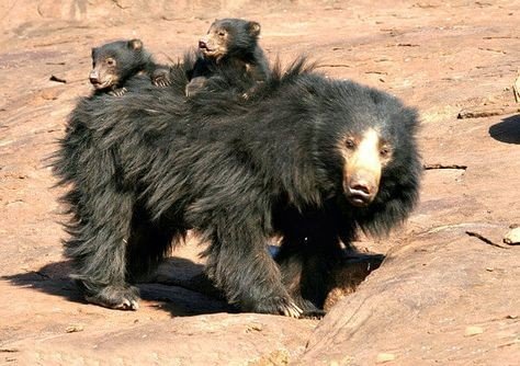
- Sloth bears
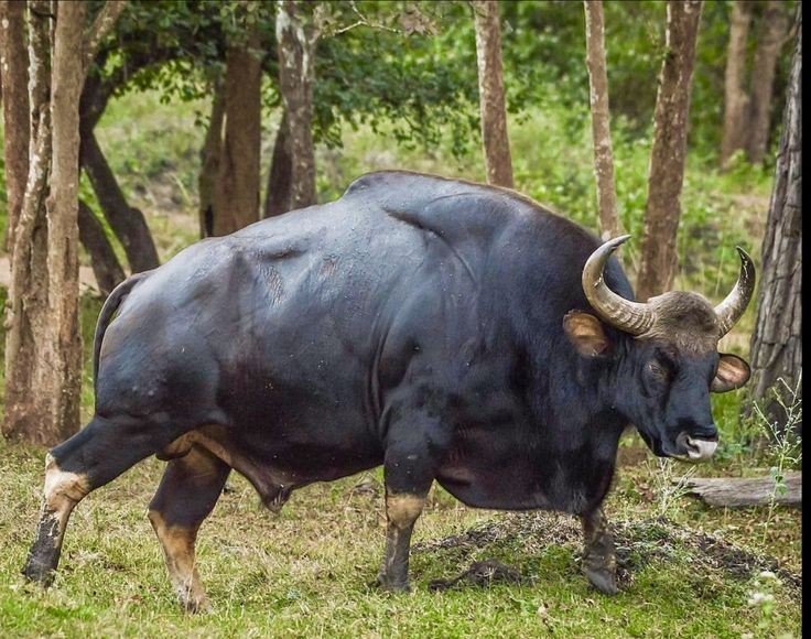
- Gaur
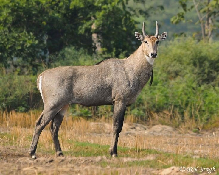
- Nilgai
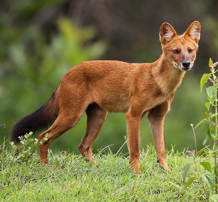
- Dhole
- Striped hyena
- Small Indian Civit
- Jungle Cats
- Sambar
- Sport deer
- Chital
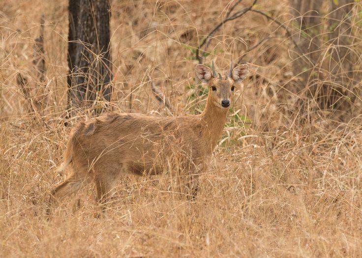
- Chausingha
- Honey Badger
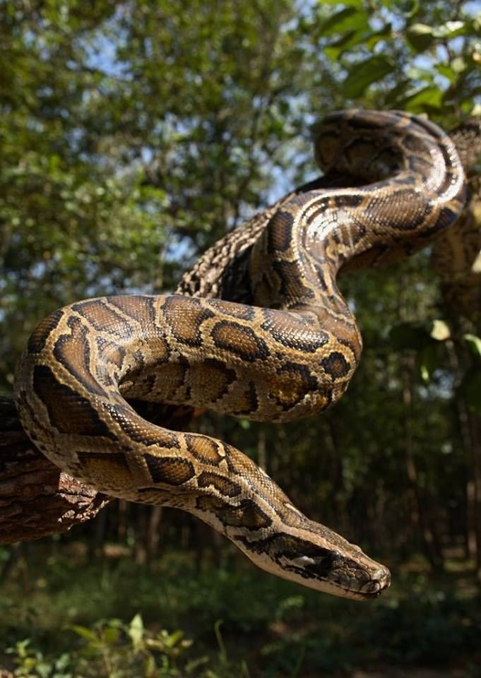
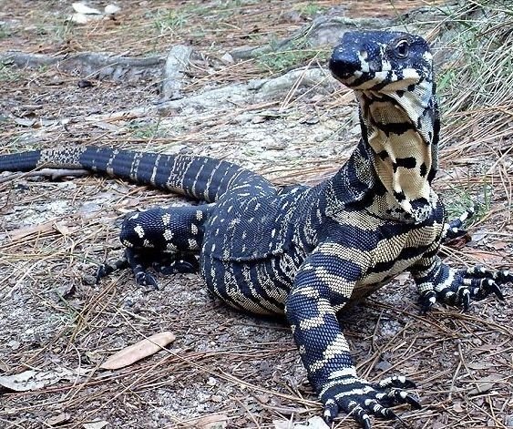
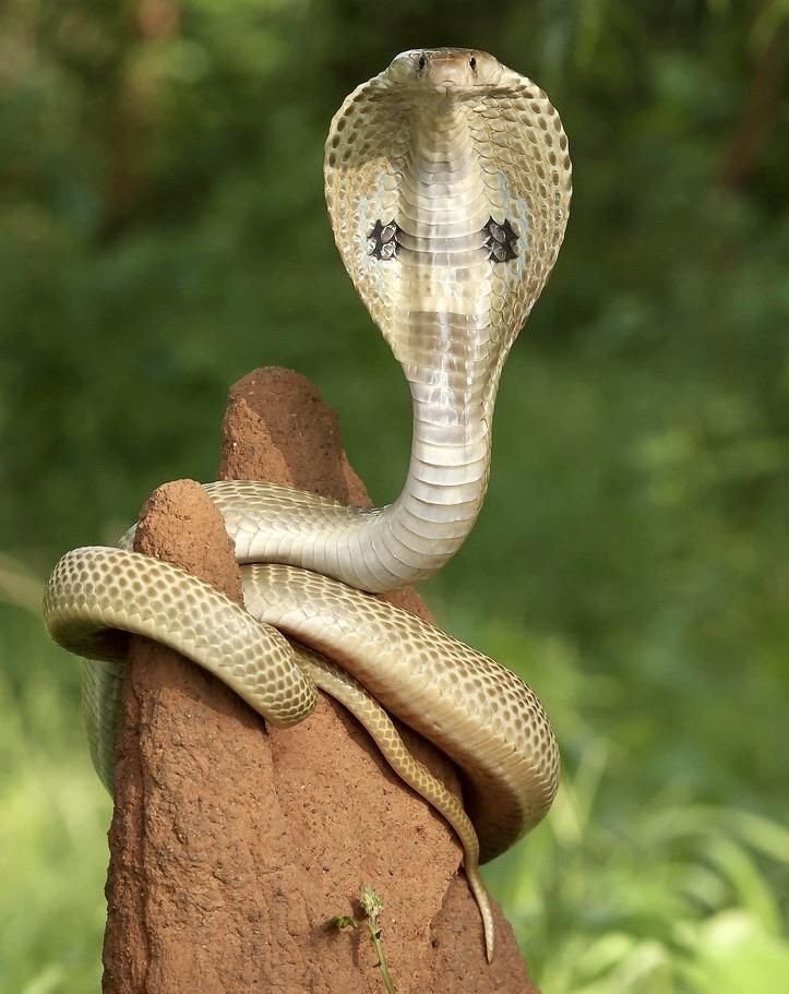
Reptiles include
- Marsh Crocodile
- Indian Python
- Indian monitor
- Terrapins
- Indian star tortoise
- Indian Cobra
- Russell’s viper
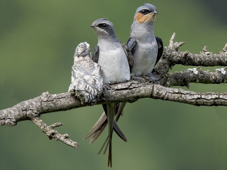
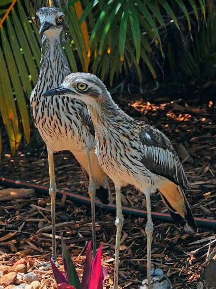
Birds
The lake is an omithologists paradise with a wide diversity of water birds, and raptors, 195 species of birds are been recorded including three endangered species.
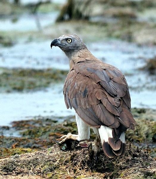
- Grey headed fish eagle
- Crested serpent eagle
- Changeable Hawk eagle
- Orange headed Trush
- Indian Pita
- Stone Creek
- Crested honey Buzzard
- Bronze winged Jacana
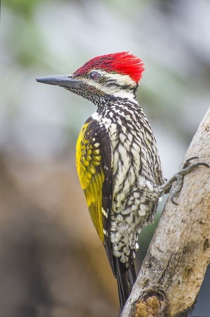
- Lesser Goldenbacked Woodpecker
- Warblers
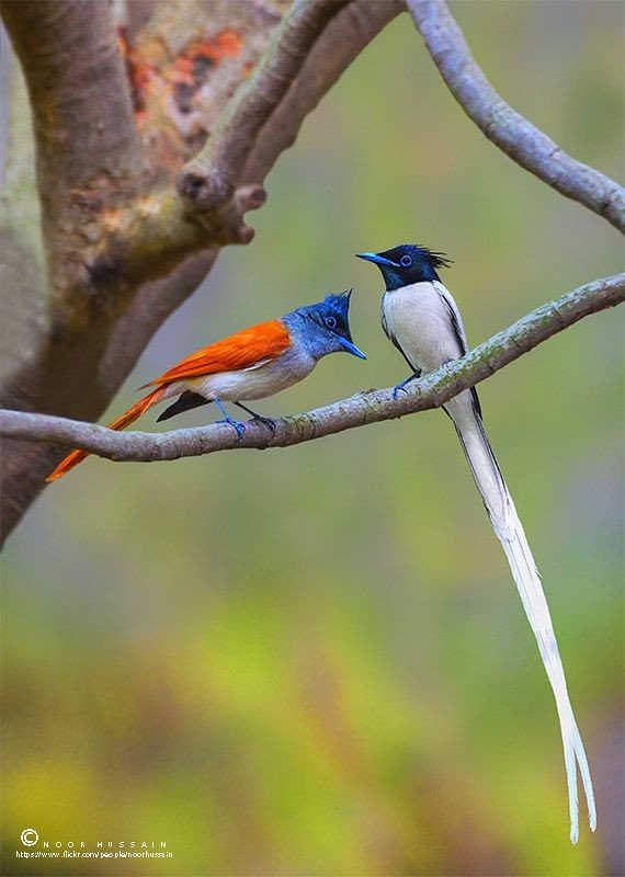
- Black naped blue flycatcher
- Peacock
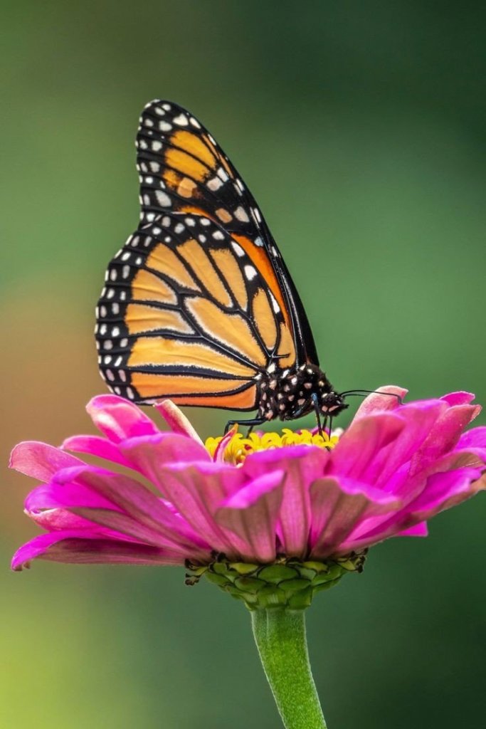
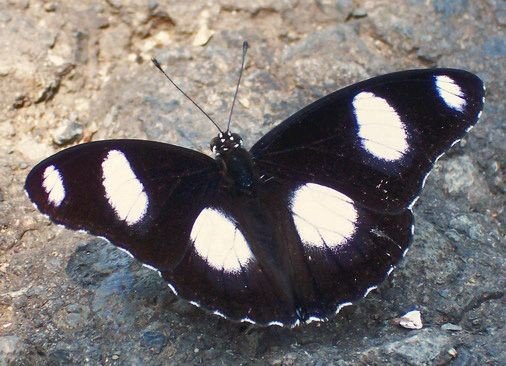
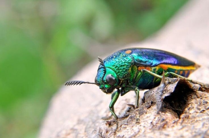
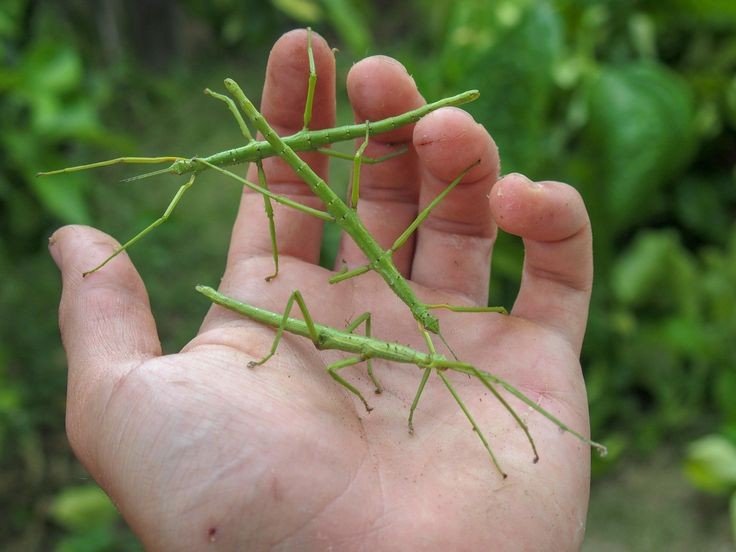
Insects
- Butterflies (Pansies, Monarch, Mormons, Swordtails)
- Danaid Egg fly
- Great Egg fly
- Dragon flies
- Stick insects
- Jewel bettles
- Praying Mantis
- Spiders (Signature spider, Giant wood spider, Red wood spider, Wolf Spiders, Crab Spider, Lynx Spider)

There are many amazing creatures like spiders creat their own world in it spiders like.
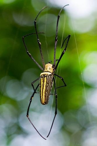
Giant wood spider (Nephila pilipes) is a species of golden orb-web spider. It resides all over countries in east and South East Asia Like India as well as Oceania. It is commonly found in primary and secondary forests and gardens.
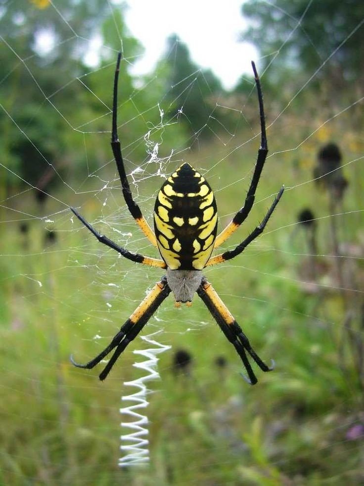
Argiope anasuja is a species of harmless orb-weaver spider found from the Seychelles to India, Pakistan and Srilanka and in Maldives
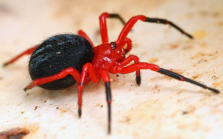
The redwood spider belongs to the genus Callobius of the Amaurobiidae family of spider, one of nearly 30 species in this family. It also goes by the names hacklemesh weaver, tangled nest spider or night spider.
Climate
Winter stretch from November to February, during the season, daytime temperatures are in the 25-30°C range and the park is lush green. While summers are extremely hot in Tadoba, with the temperature rising to 47°C, it is the ideal time to sight mammals near Lakes as vegetation is minimal. The monsoon season begins in June the area receives heavy rainfall during this season (approx 1274mm) and humidity hovers around 66%.
Threats to Forests
There are 41,644 people living in and around the reserve in fifty nine villages of which five are inside the core zone. These villages in the core zone still farm inside the core area. The process of rehabilitation is going on. Recently the Navegaon village was rehabilated, and grassland is expected on the place where the village existed. There are 41,820 cattle within the core and buffer zone. While cattle grazing is not allowed in the core zone, regulated grazing in the buffer zone is allowed to cattle of the village inhabitants. However cattle in peripheral villages sometimes find their way into the reserve and cause additional damage to the habitat.
Thanks for watching and reading if you like my blog please Like share comment and follow for my latest updates.
- Asava fort/Killa Trek guideFort Info Name:- Asawa/ Asava Height:- 1080ft Place:- Boisar, Maharashtra, India Difficulty:- Moderate Distance:- 95km from Mumbai Trek Duration:- 1hr 30min Max/1hr 15min minimum Personal Experience Started my journey to Asava/ Asawa fort which is situated in Boisar, Palghar District at 6:00@m early morning as I always prefer to go Solo but while watching my …
- Sindhudurg fort”Malvan Killa”Fort in between the sea
- Karnala fort and Bird Scantuary (guide)Click the link below for the full video of personal experience visiting Karnala Fort Fort Info Height:- 439m (1,440ft) Place:- Panvel, Maharashtra, India Open:- 6am to 6pm Distance:- 59km from Andheri, Mumbai Difficulty:- easy Overview Karnala fort is for beginners with easy level of trek, not confusing at all no chances of getting lost, best …
- Mahuli trek with full guideBelow link is my trek video with full guide Overview Fort:- MahuliPlace:- Shahpur, Asangaon, Maharashtra, IndiaElevation:- 2815ft above sea levelTrek mode:- moderate Start I started my journey from Andheri, Mumbai at 6:15@m the estimated time to reach Shahpur was 2hrs without traffic, I invited my friend named Joshua for trek and he accepted my invitation, …
- Tadoba Andhari Tiger ReserveKnow the Largest National Park in Maharashtra
Real King of Jungle The Tiger


