Overview
Lohagad “Iron fort” is one of the many hill fort of Maharashtra State. Situated close to hill station Lonavla and 52km (32mi) northwest of Pune, Lohagad rises to an elevation of 1,033m (3,389ft) above sea level. The fort is connected to the neighbouring Visapur fort by a small range. The fort was under the Maratha Empire for the Majority of the time, with a short period of 5 years under the Mughal empire. Elevation:- 1,033m. Location:- Pune District, Maharashtra, India. Function:- Fortifications. Parent:- Western Ghats
History
Lohagad has a long history with several dynasties occupying it at different periods of time Satavahanas, Chalukyas, Rashtrakutas, Yadavas, Bahamanis, Nizam’s, Mughals and Marathas. Chhatrapati Shivaji Maharaj captured it in 1648AD but he was forced to surrender it to the Mughals in 1655 AD by the Treaty of Purandar. Chhatrapati Shivaji Maharaj recaptured the fort in 1670 AD and used it for keeping his treasury. This fort was used to keep the loot from Surat. Later in Peshwa time Nana Phadnavis used this fort living for sometime and built several structures in the fort such as a big tank and a step-well. The lohagad fort also has caves on it’s south side facing Lohagadwadi.
Geography and Climate
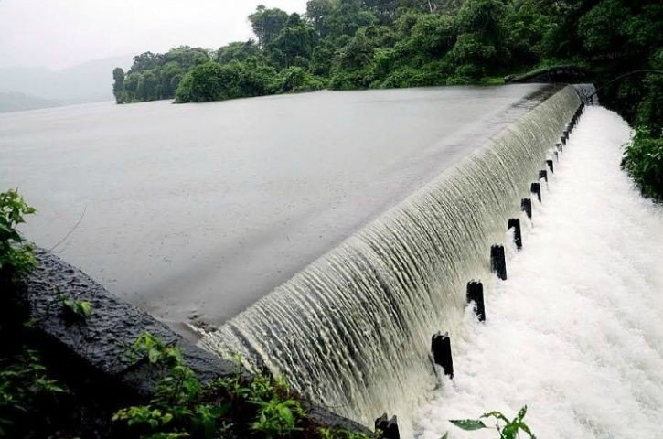
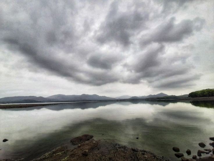
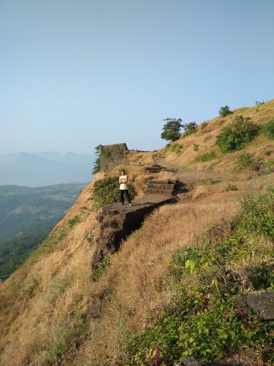
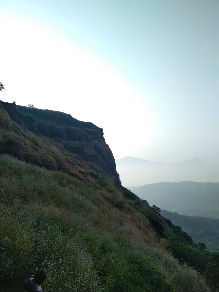
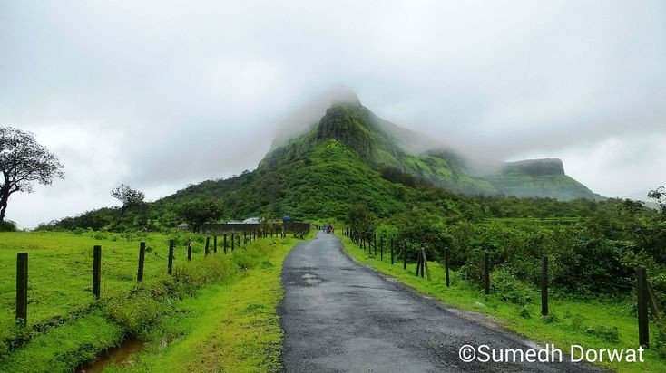
Lohagad is part of the Western Ghats. It rises to an elevation of 1,033m (3,389ft) above sea level, and is located to the south-west of the Visapur fort. The range divides the basins of the Indrayani River and Pavana Lake. Lohagad overlooks the Pavana reservoirs, located to the south of the mountain. The hills extends to the North West to a fortified spur, called Vinchukada (scorpion’s tail) because to its resembling shape. The four large gates of Lohagad are still in good condition and reasonably intact. During the monsoon, the top of the fort is covered with mist and clouds and becomes particularly wet with growing moss. The roads and trails leading to the hill are quite slippery at this time of the year and precautions are necessary to be taken while venturing the routes.
Accessibility
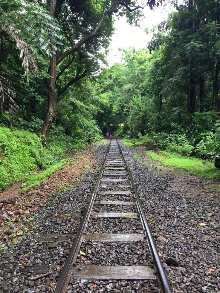
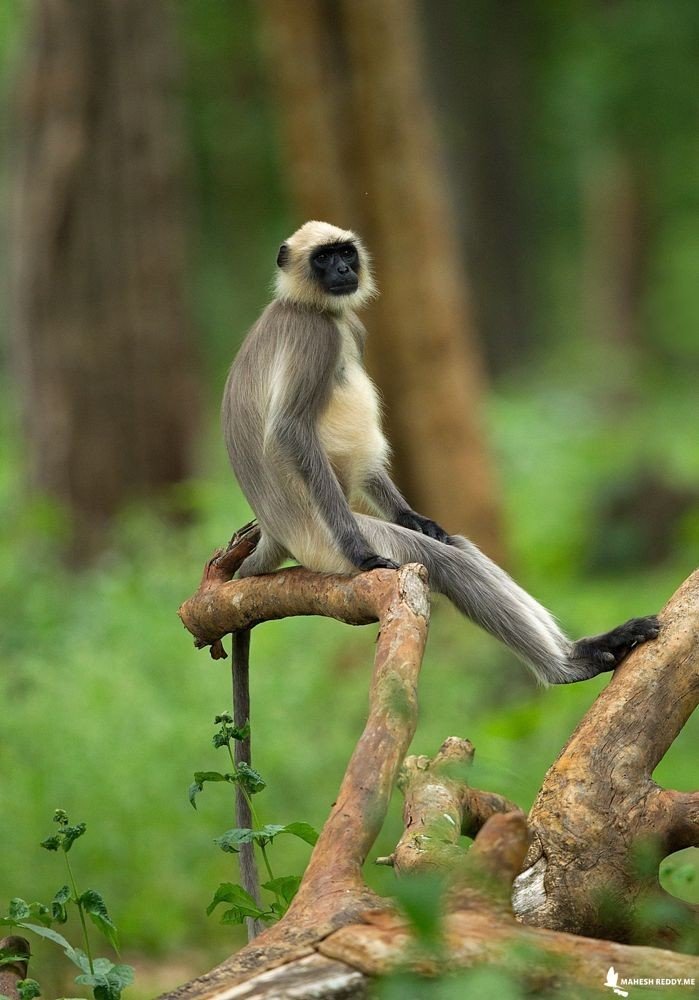
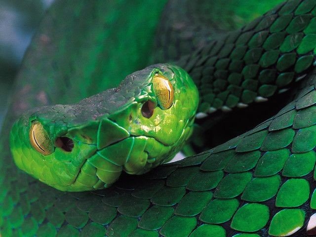
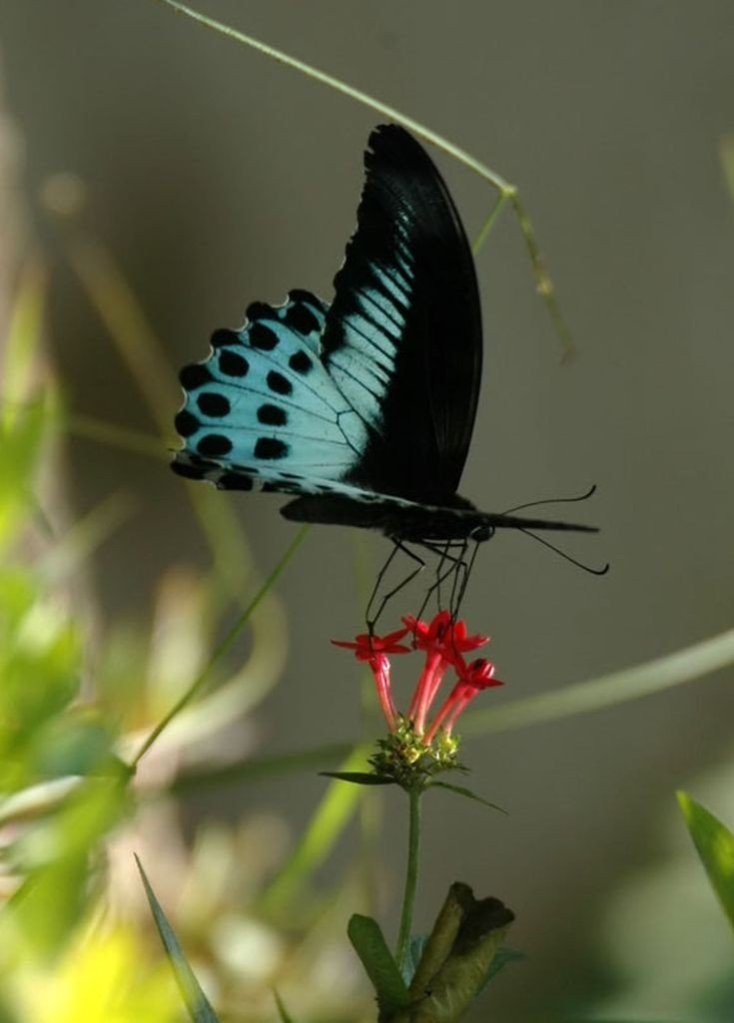
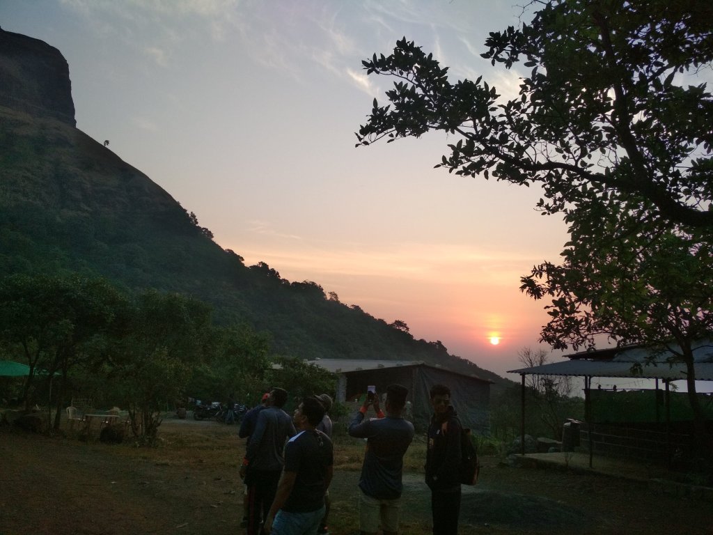
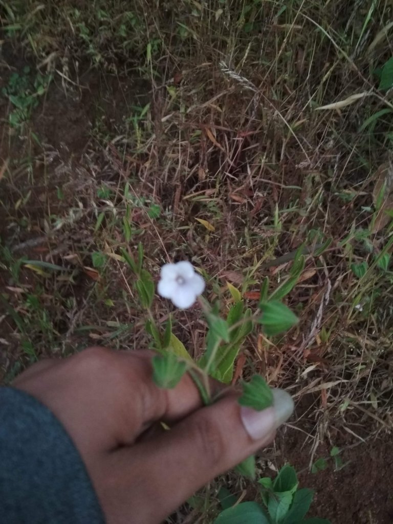
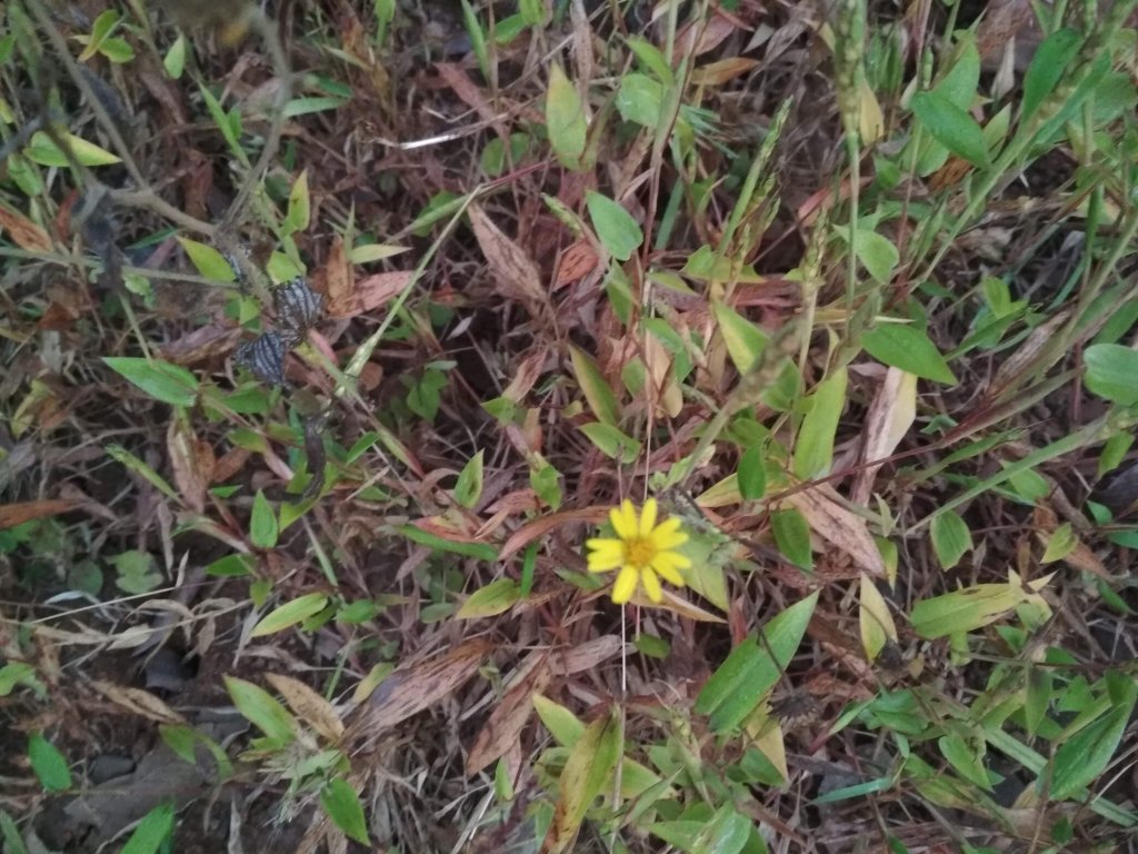
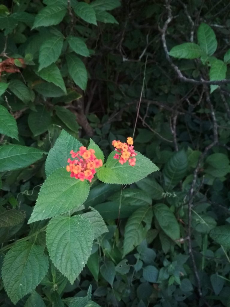
Lohagad fort can be accessed by various modes of travel. The nearest airport is the Pune International Airport. The proposed Navi Mumbai International Airport will serve as the nearest airport in the coming future. The nearest train station is Malavli, which can be accessed by suburban trains between Lonavala and Pune. The nearest major train station is Lonavla, on the Mumbai-Pune railway line. Lohagad is connected by the Mumbai-Pune Highway and can also be accessed from Paid via Kolvan and Dudhiware Khind for all vehicles. People can hike all the way to the fort. Bhaja caves is on the way to Lohagad if a small diversion is taken. This walk is particular favourite for trekkers, especially in the monsoon season. It is a simple, very scenic and pleasant trek and the distance from Malavli and Lohagad can be covered in around 2 hrs. A tar road exists all the way to the Top from Malavli station and one can hire a tempo or cap to the top. The best season to visit is monsoons it is absolutely safe and many vendors selling onion fritters and lemonade are present by the roadside. One can also cut across the hills as well.The fort has around 350 steps from the base, and it is not advisable to take a personal car as the road is single lane, sleep & very Bad. Variety of Insects can also be spotted in these hills.
Nearby attractions
- Bhaja caves – 2km (1.2mi) from Malavli, once home to Buddhist monks.
- Karla Caves
- Lonavla 20km (12mi), famous and scenic hill station.
- Aamby Valley City – 22km (14mi) from Lonavala.
- Visapur
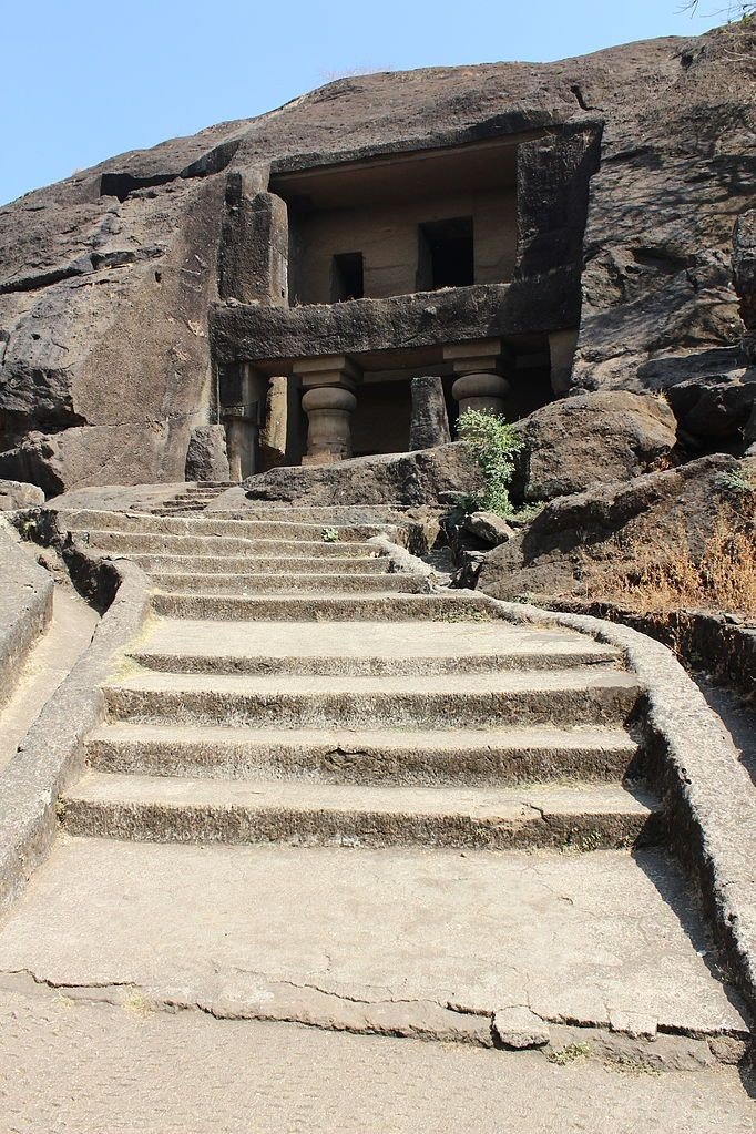
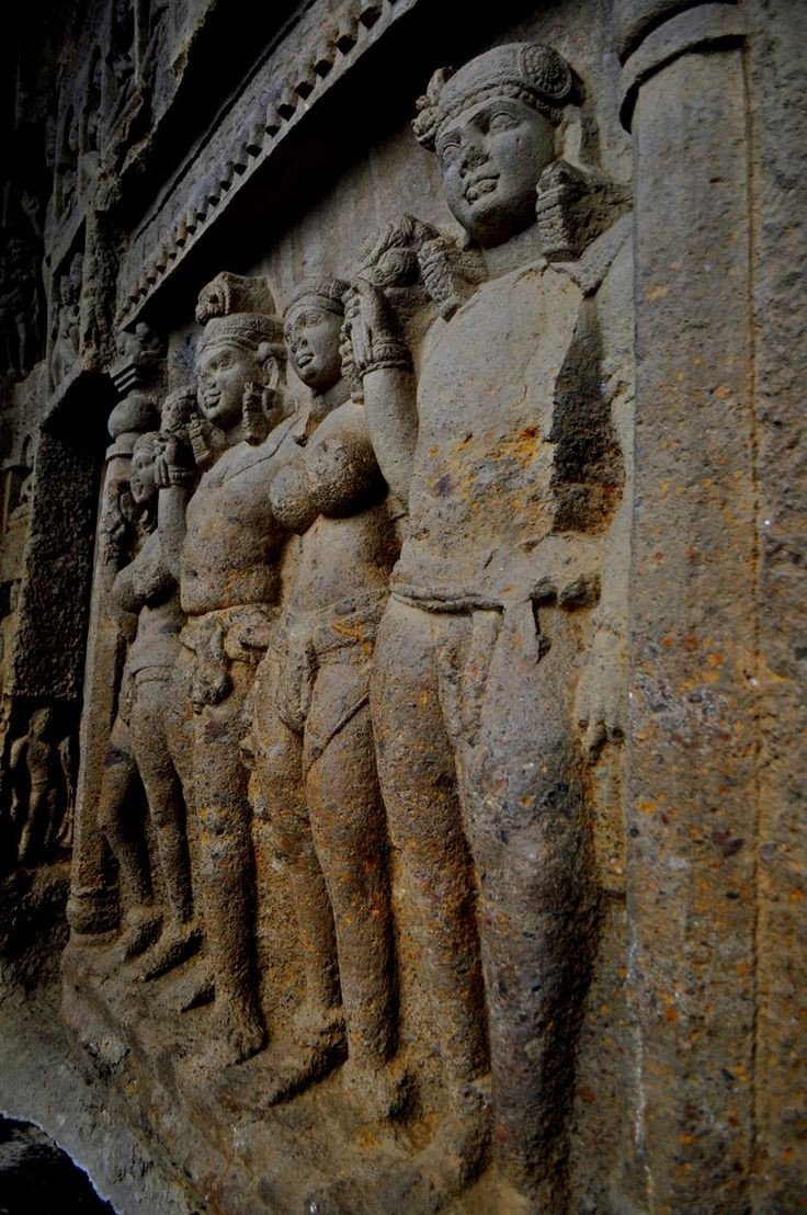
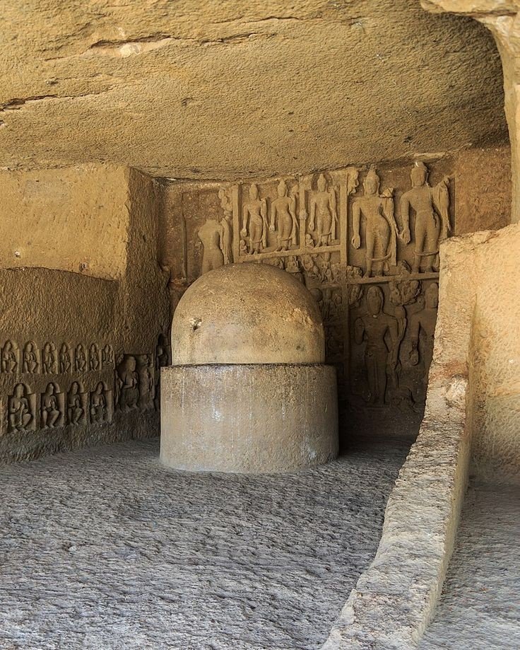
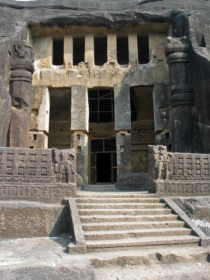
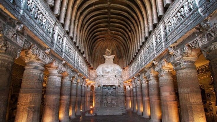
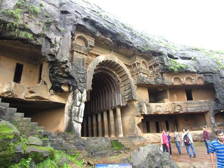
Bhaja caves
It is a group of 22 rock cut caves dating back to the 2nd century BC located in the city of Pune, India. The caves are 400 feet above the village of Bhaja, on an important ancient trade route running from the Arebian sea eastward into the Deccan plateau (the division between North India and South India). The inscription and the cave temple is protected as a Monument of National importance, by the Archaeological Survey of India per Notification no 2407-A.
Karla Caves
It is complex of ancient Buddhist Indian rock-cut caves at Karli near Lonavla, Maharashtra. It is just 10.9 kilometers away from Lonavala. Other caves in the area are Bhaja Caves, Patan Buddhist cave, Bedse caves and Nashik caves. The shrines were developed over the period from the 2nd century BCE to the 5th century CE. The oldest of the cave shrines is believed to date back to 160 BCE. having arisen near a major ancient trade route, running eastward from the Arabian into the Deccan.
Lonavala
Refer to Lonavla blog in my explore menu.
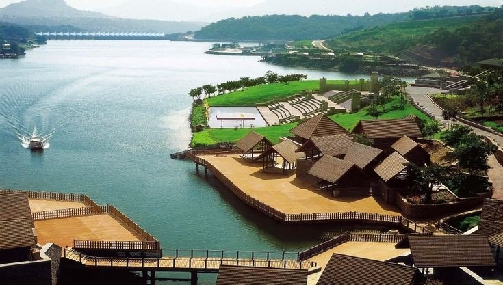
Aamby Valley City
It is a township developed by the Sahara India Pariwar in Pune District in the Indian state of Maharashtra. It is about 23km (14mi) from Lonavala, 87km (54mi) from the city of Pune and 120km (75mi) from the city Mumbai. The township is connected by road of Mahabaleshwer. City is spread over 10,600 acres (4300ha) of hilly terrain. 3 large Man made lakes have been created by constructing dams. The largest lake is 1.5km in length, it also boasts of a PGA 18 hole golf course. This city was so designed and master planned by Gruen-Bobby Mukherji and Associates in the year 2003.
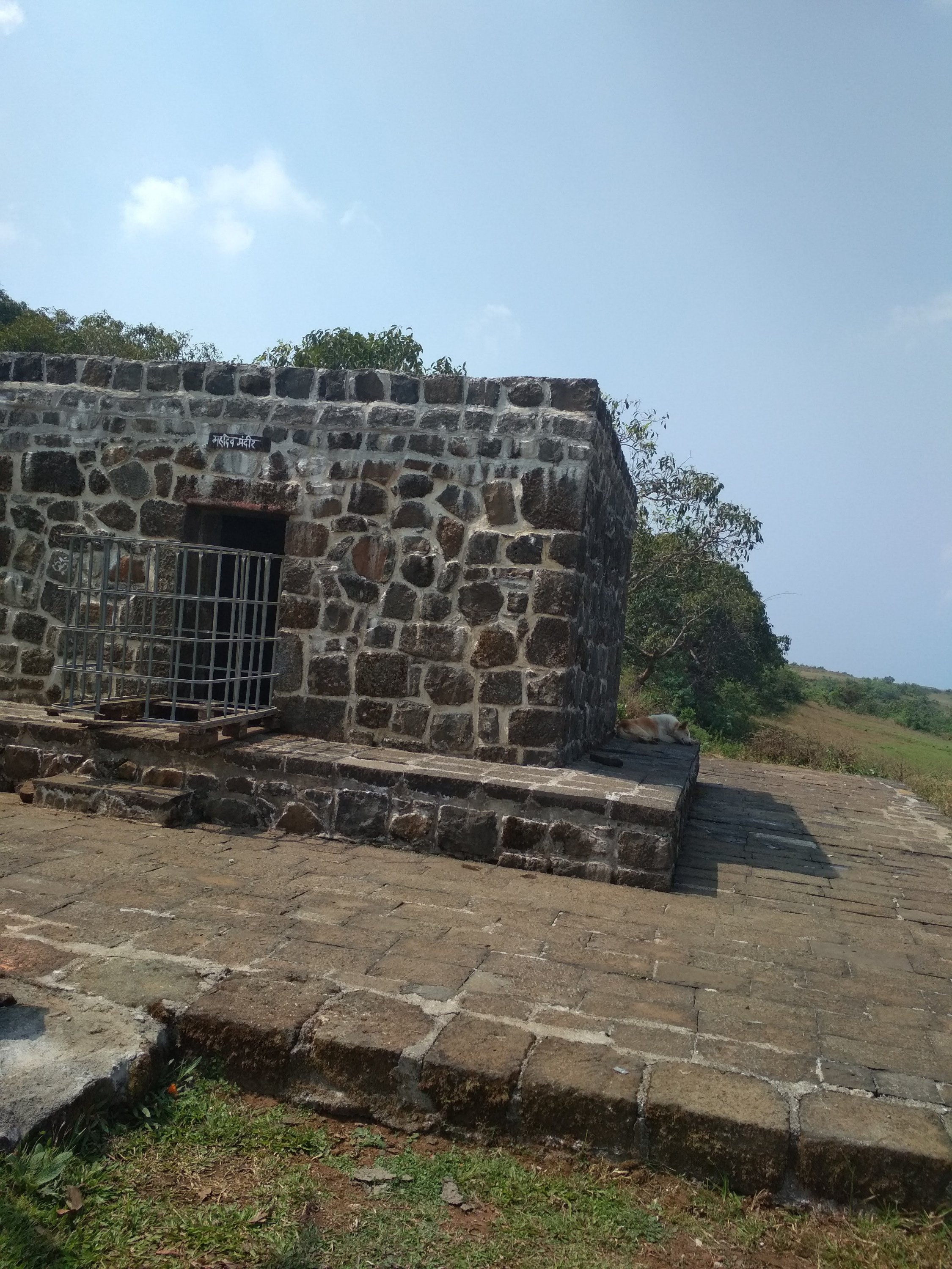
Visapur Fort
It is at a Higher altitudes than Lohagad fort, water tanks, old houses, arch, waterfalls, temples are on the Sahyadri Fort. There are two buildings which are Roofless now, are government offices from the past. A stone built home at Visapur fort called Peshwas Wada popularly. Lord Hanuman carving seen the fort, there are many temples dedicated to him at the fort. Visapur is an ideal trekking destination near Mumbai, Pune, Lonavla.
Below are the Clicked images at the top of the Fort with details
Shiva Temple built from black rock one of the toughest rocks in the world.
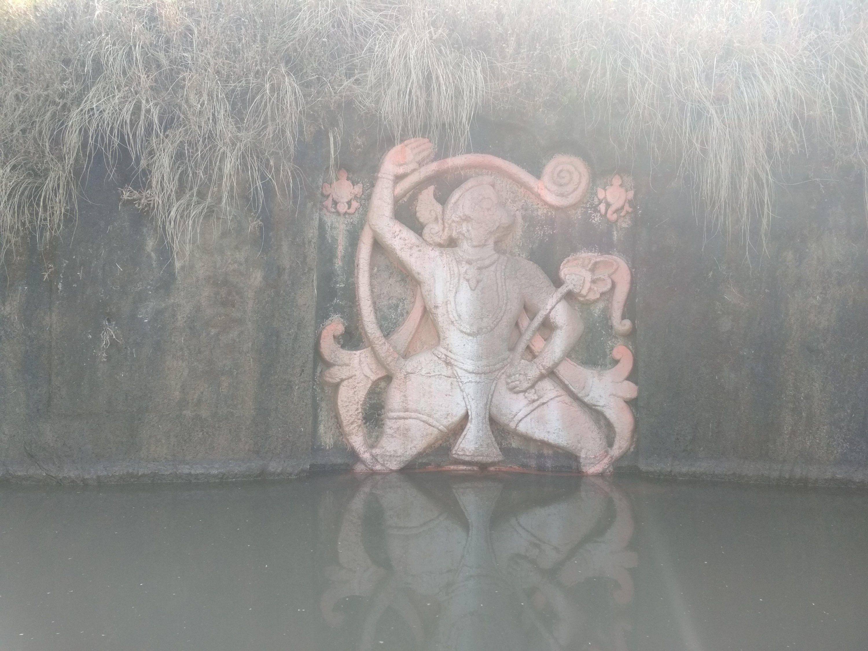
A statue of Lord Hanuman sculpted in between in the water tank
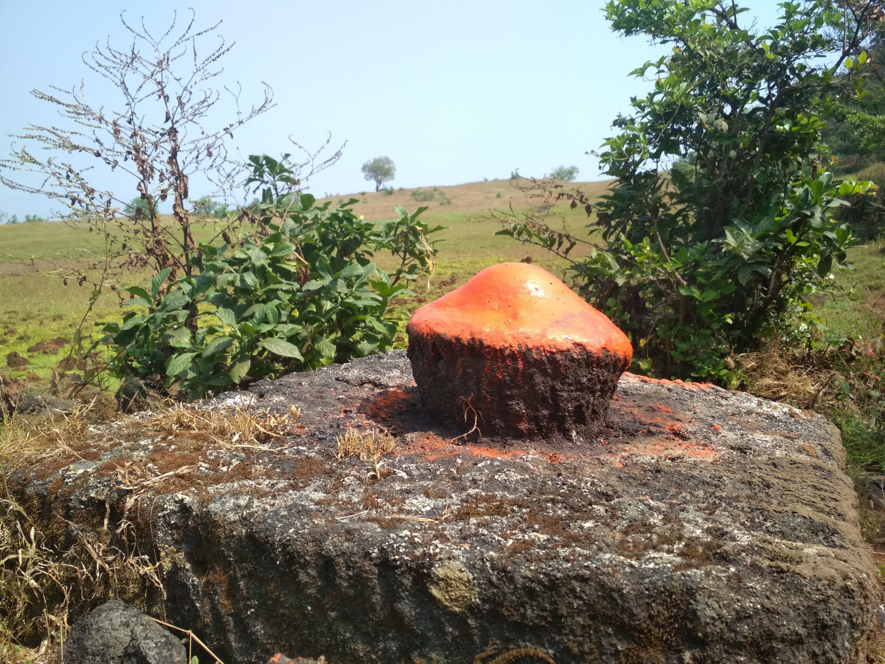
Sculpted rock as Shiv Ling built in between the walking path.
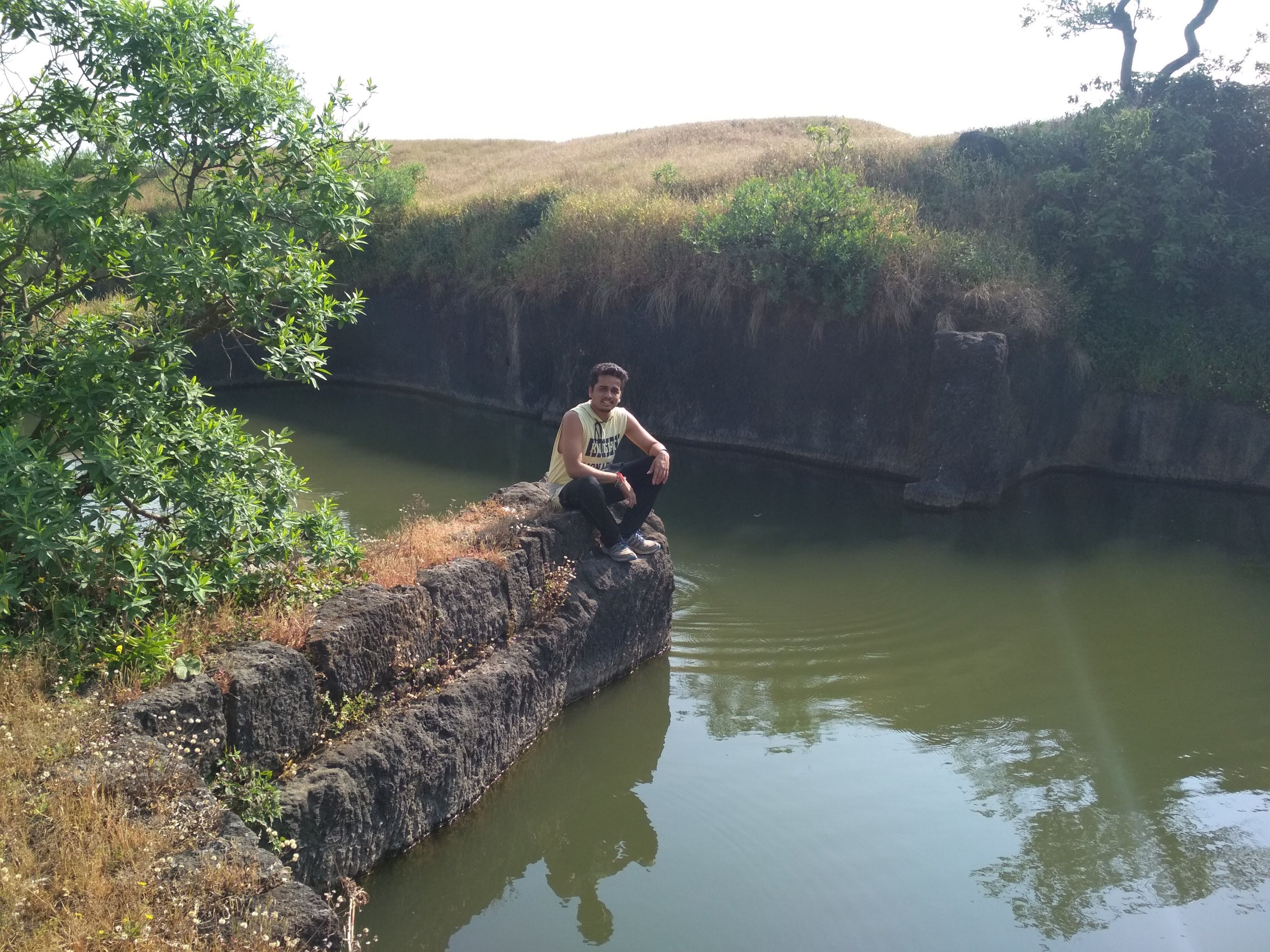
Broken bridge, people used to travel from one end to another from above the stored water.
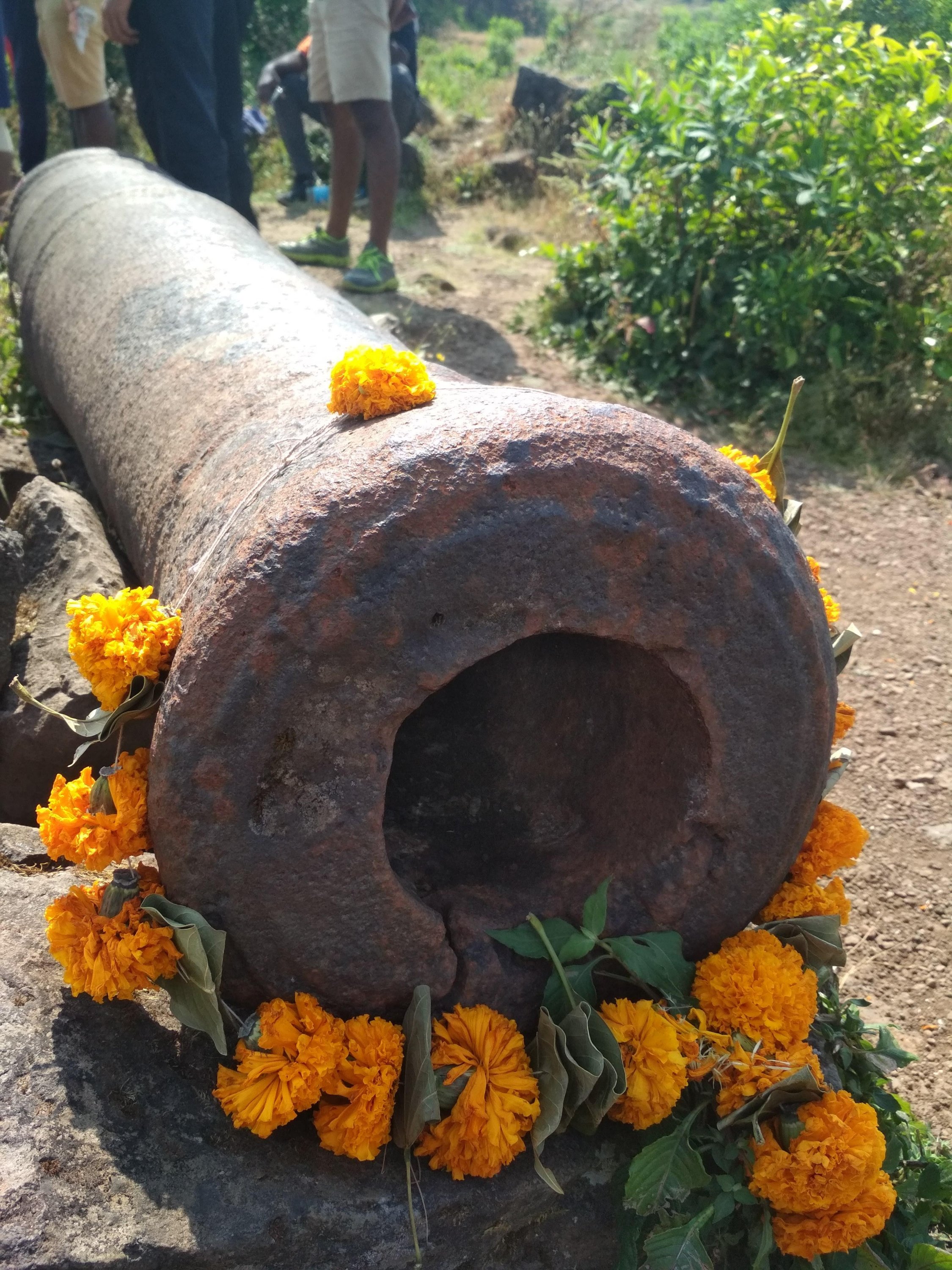
Cannon which been used by Great Marathas during wars, Weighing Almost more than a one ton approx.
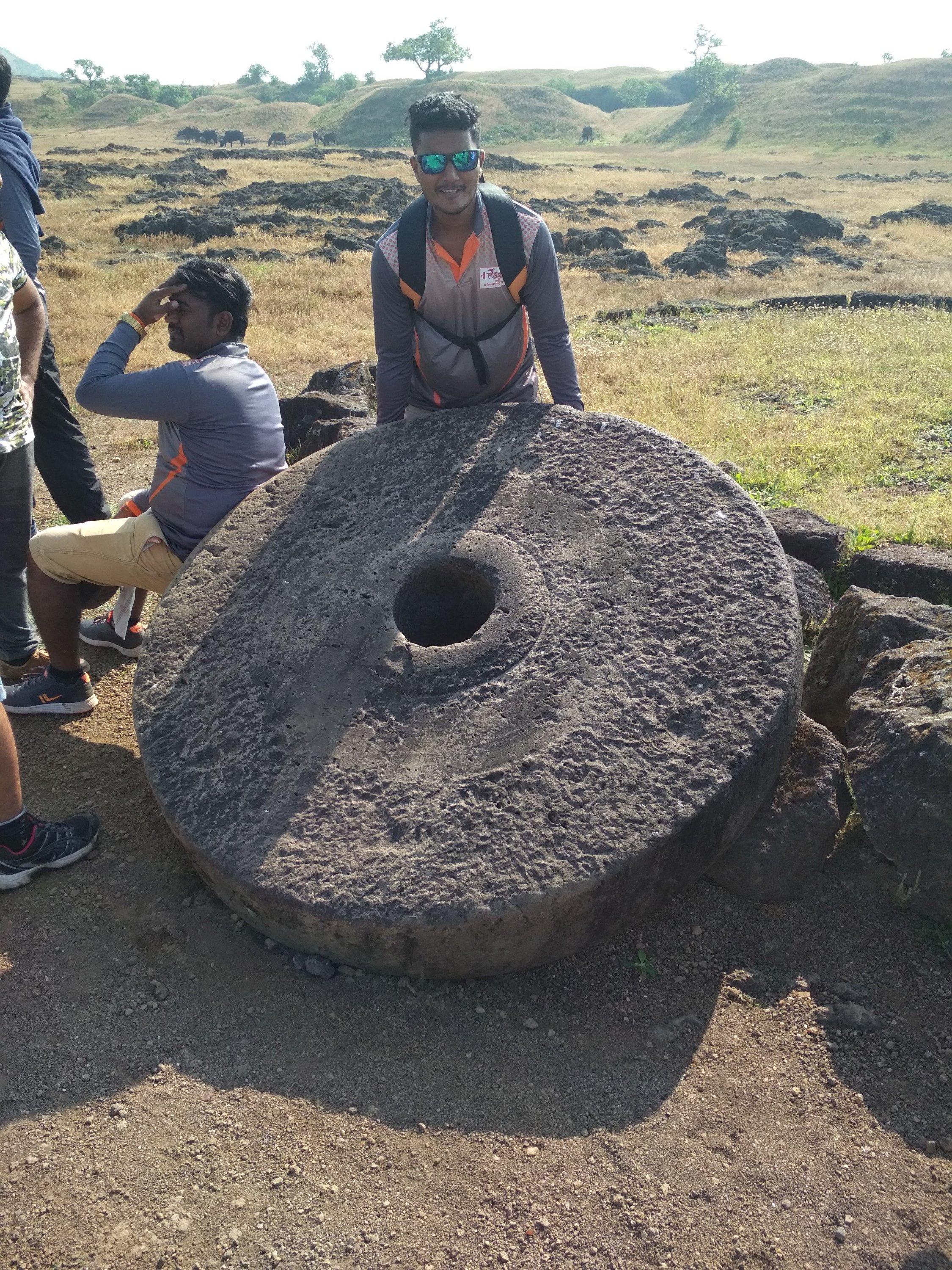
Roller not in a normal size as compared to household one
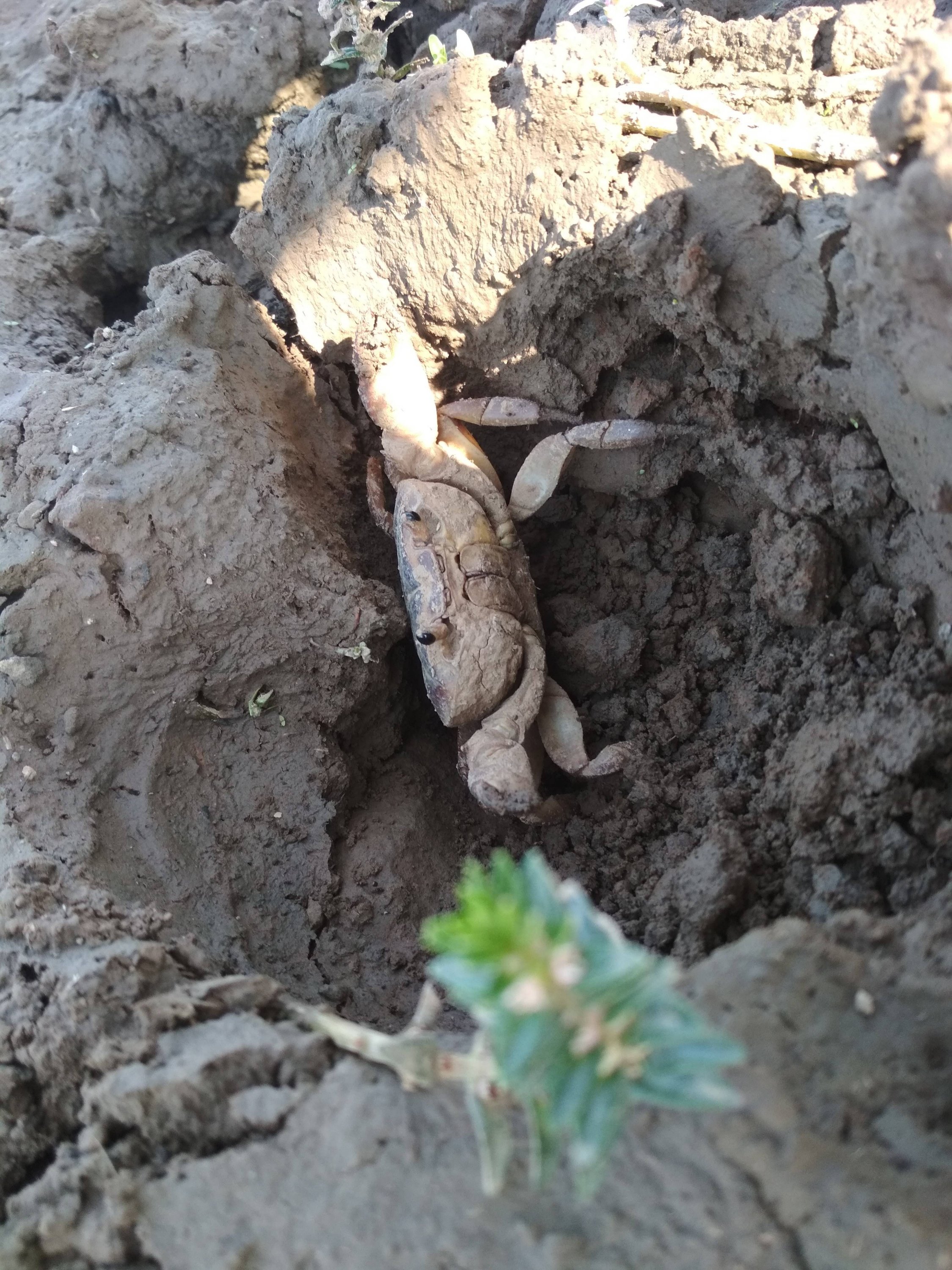
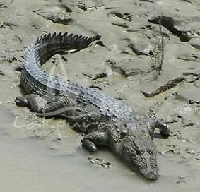
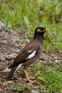
Mud crab specially found inside the Fort territory still exists.
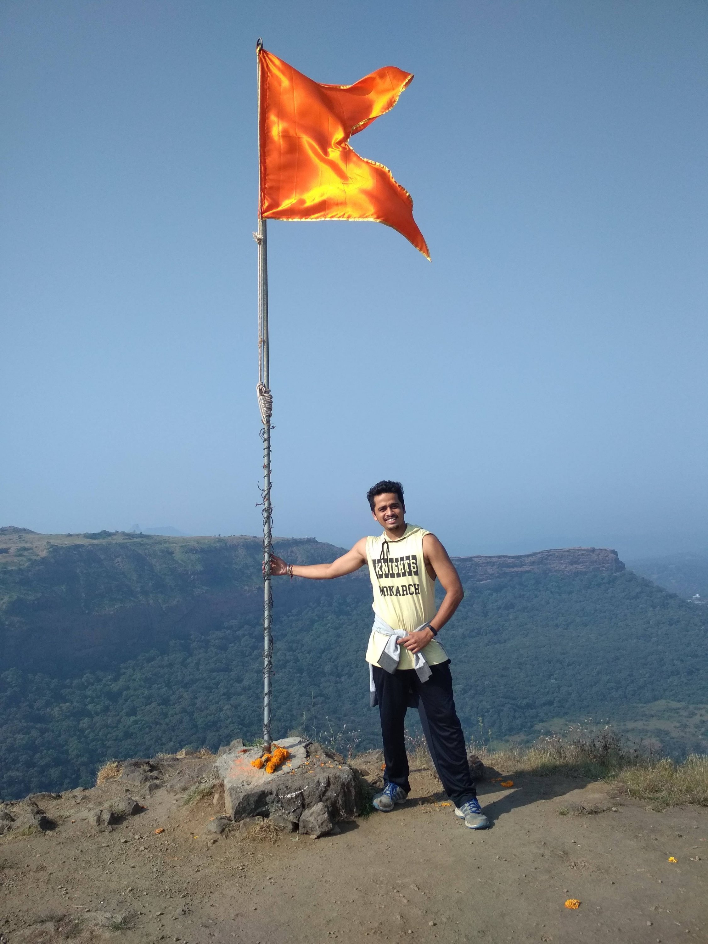
Highest point at the Fort, holding the saffron colour flag, which is dedicated to GREAT MARATHA WARRIORS.
Thanks for watching and reading if you like my blog please Like share comment and follow for more Content like this.