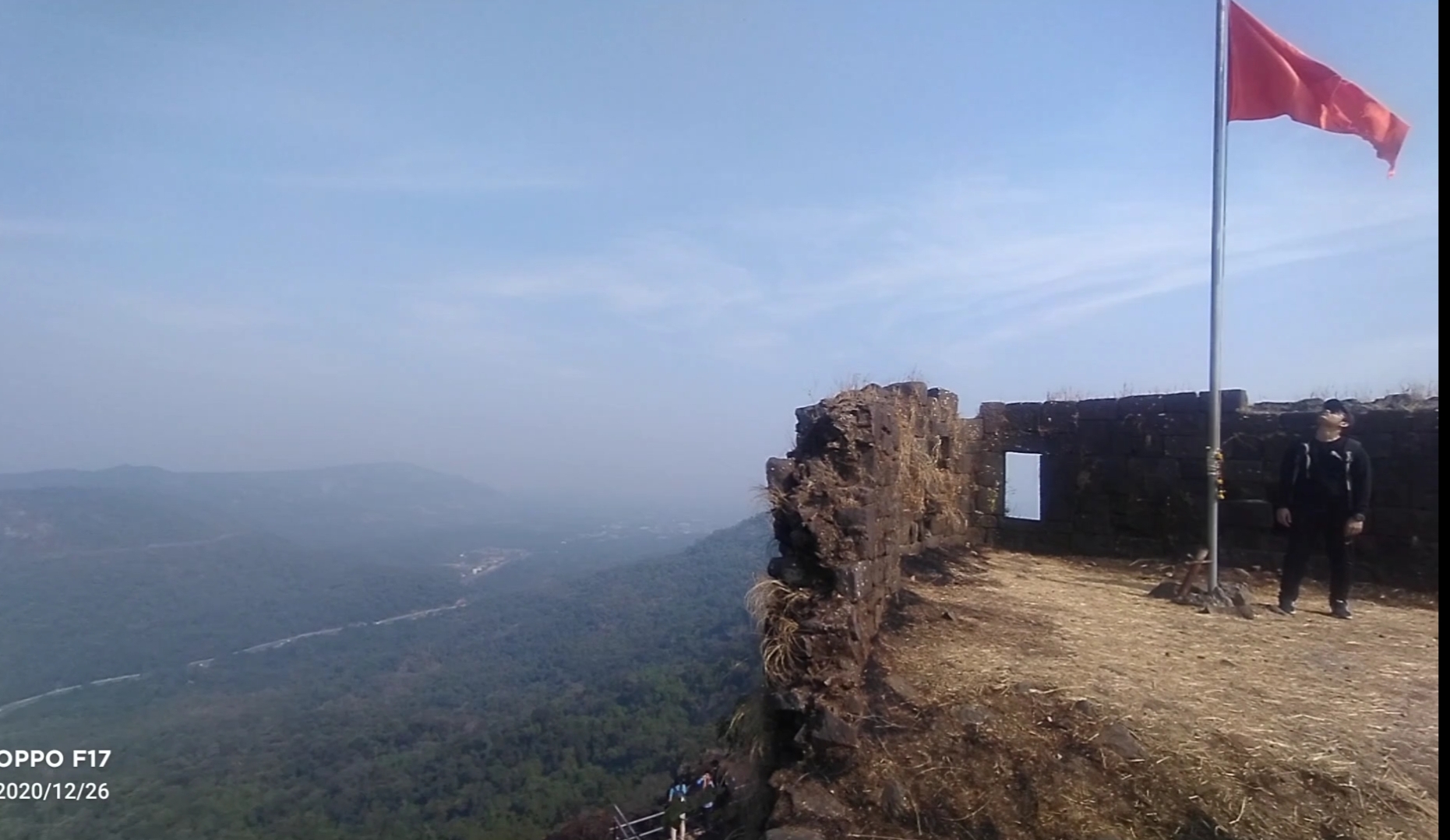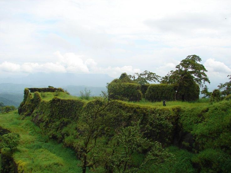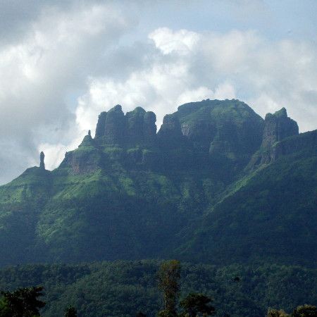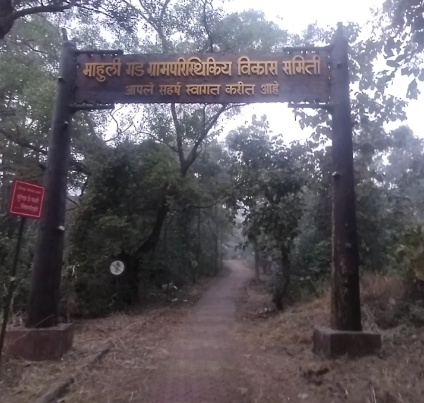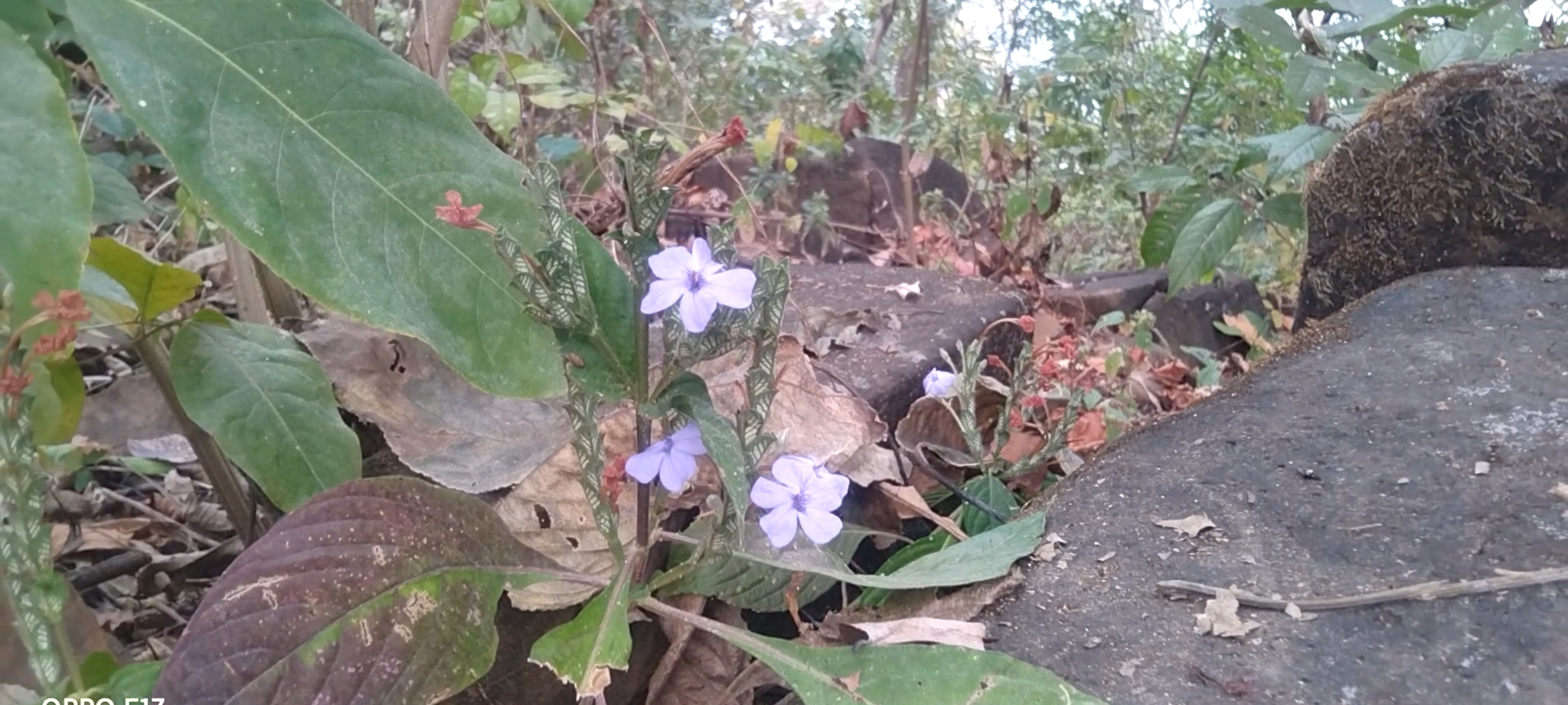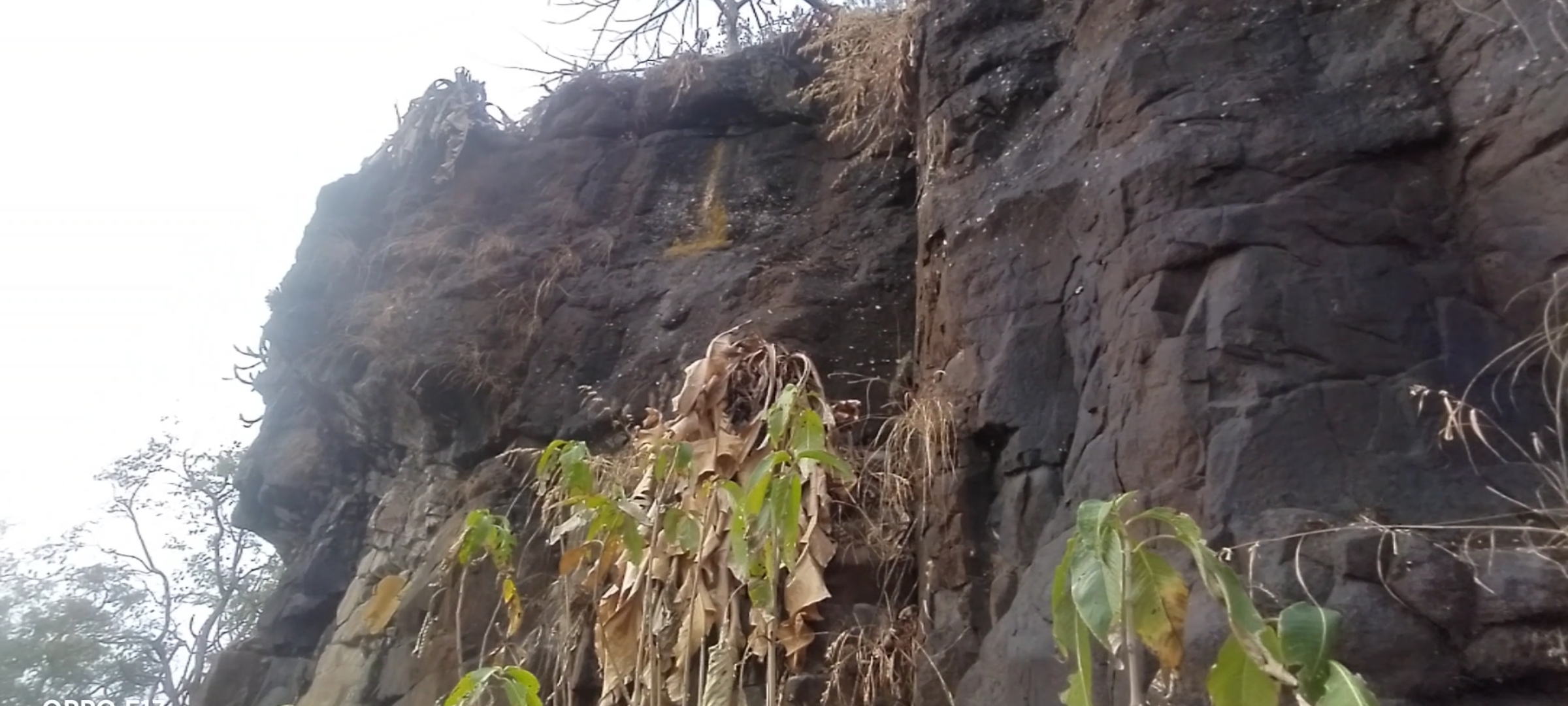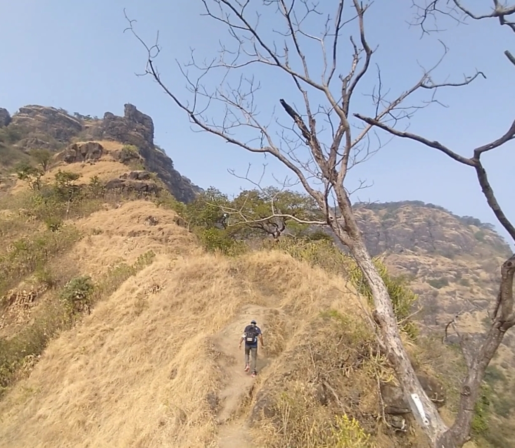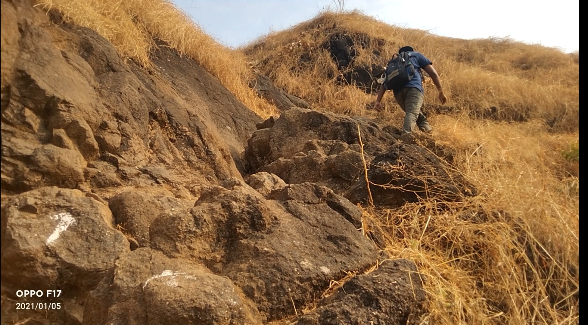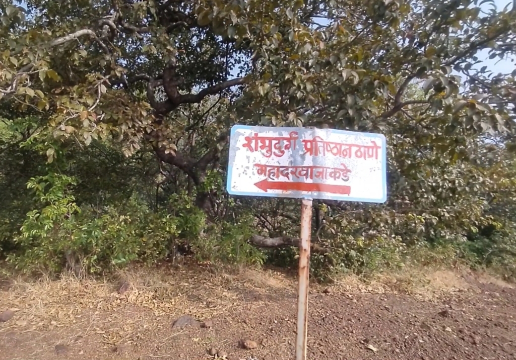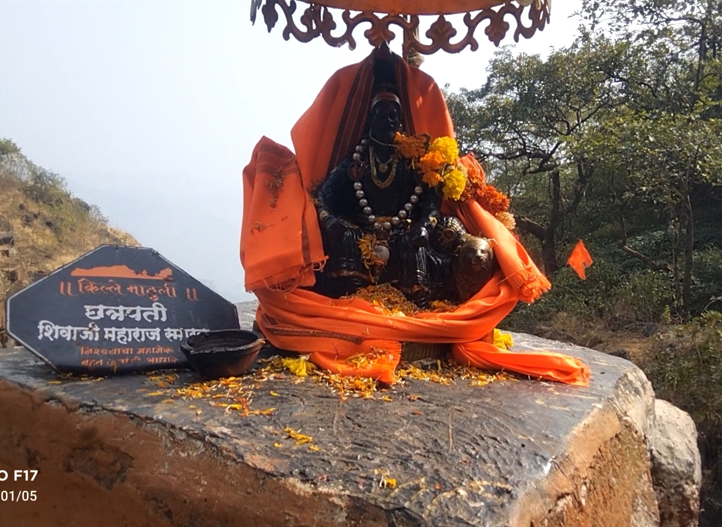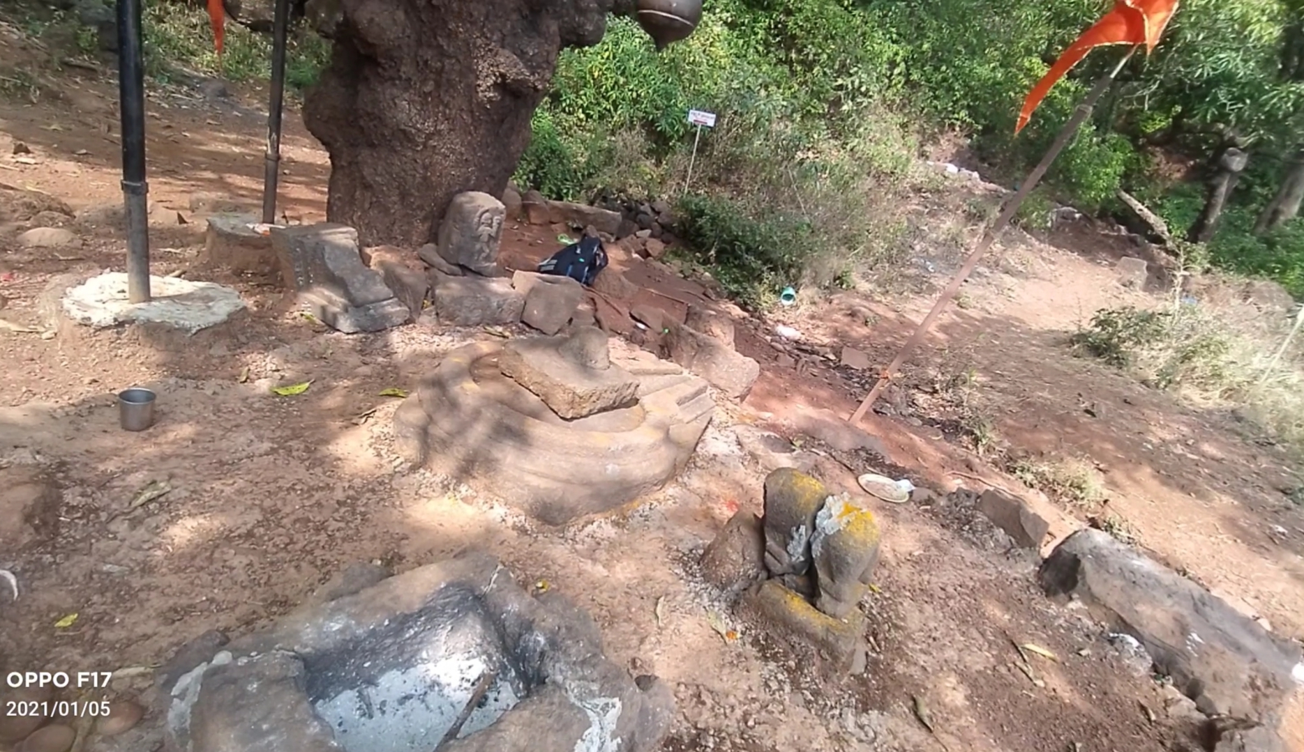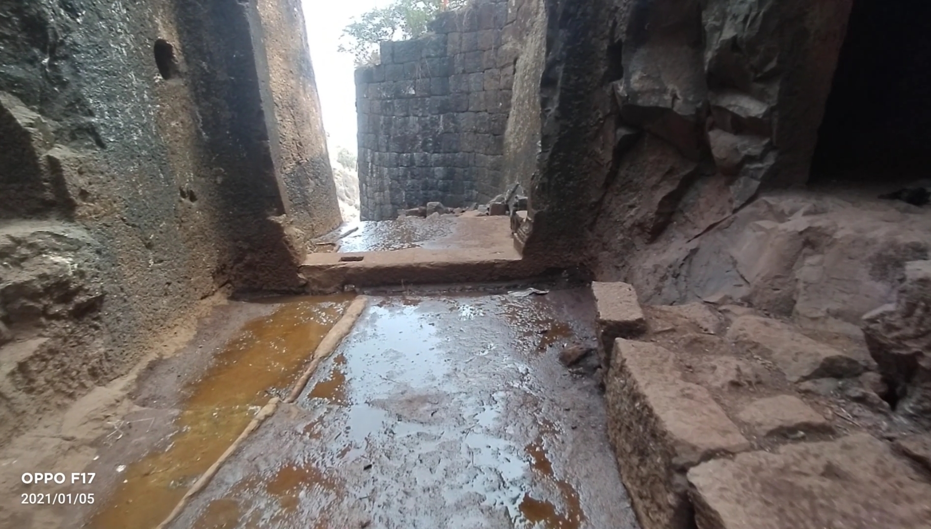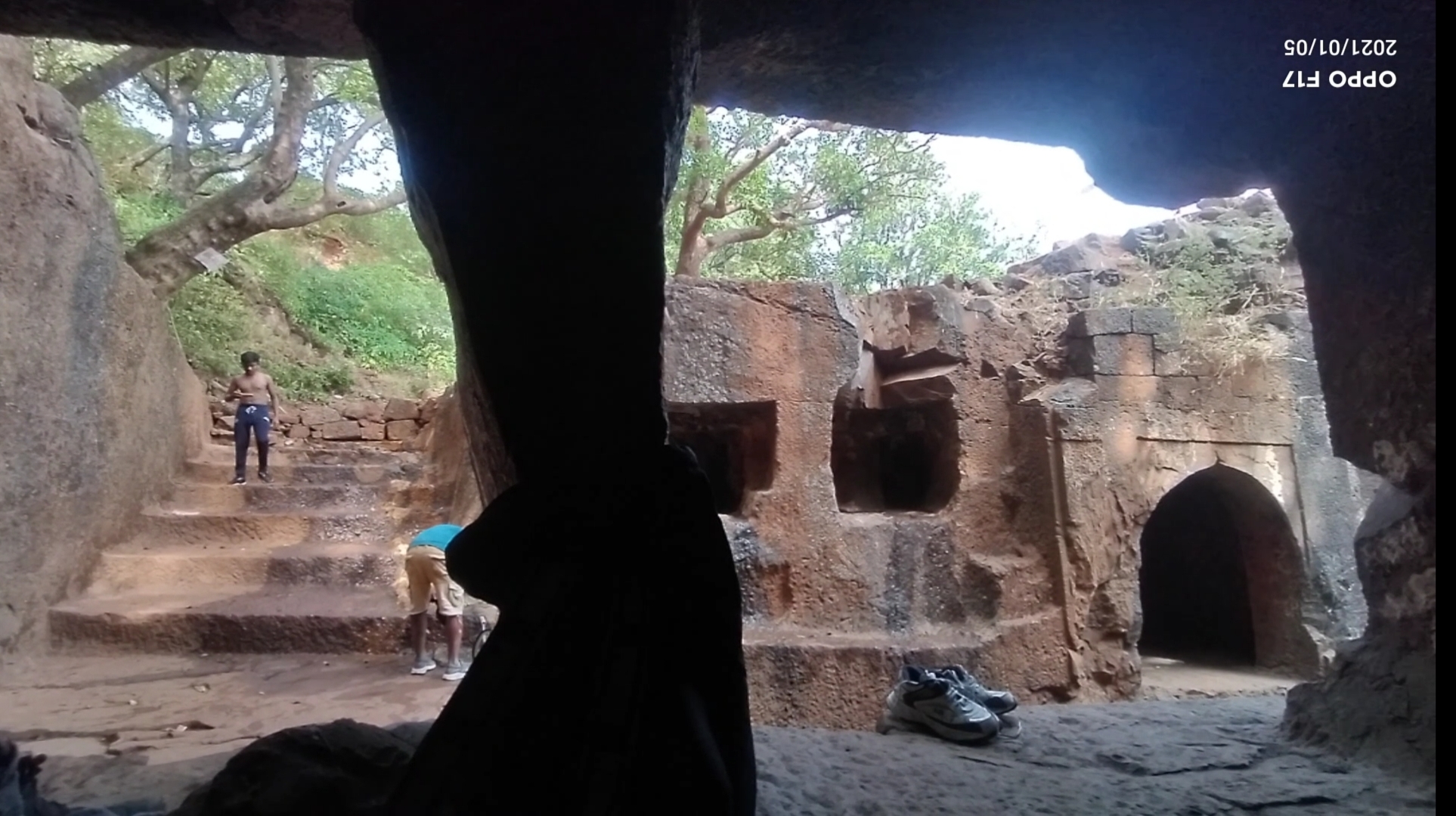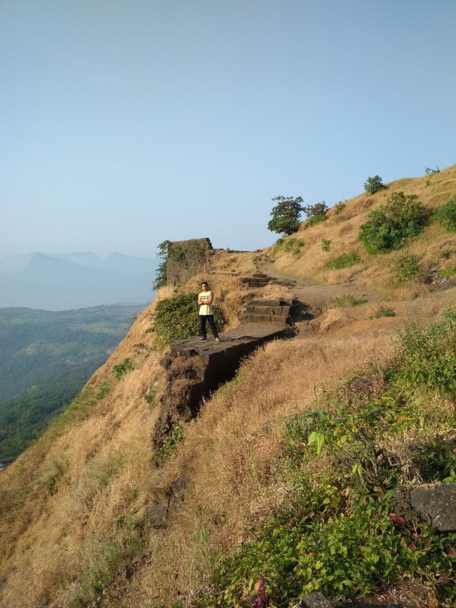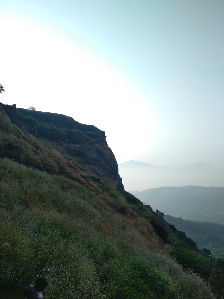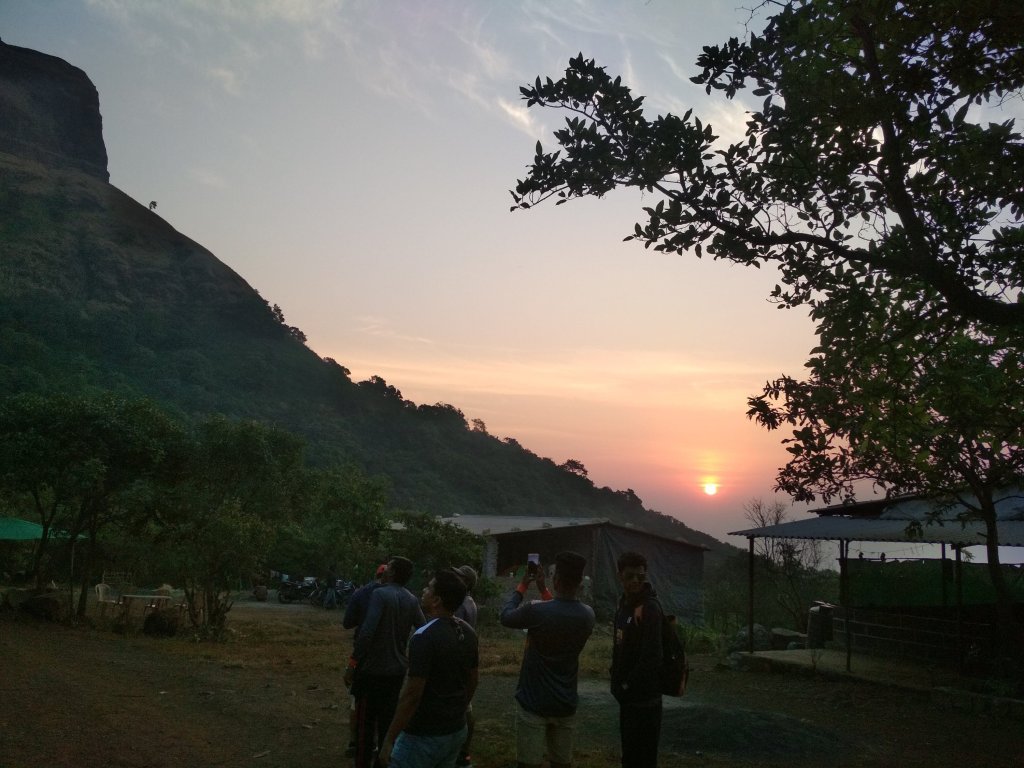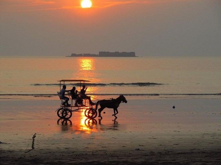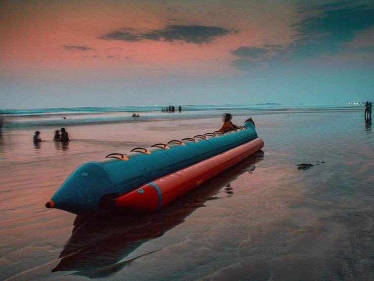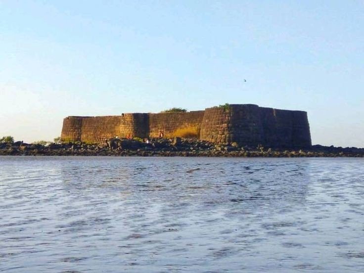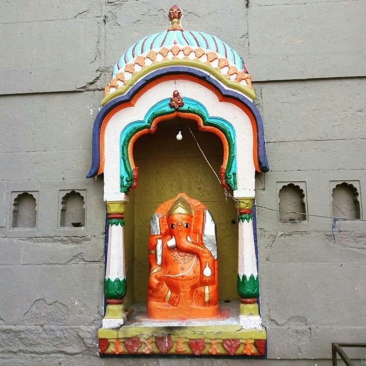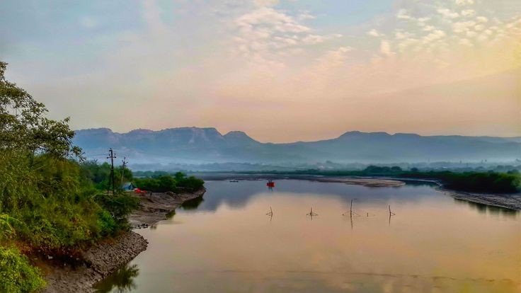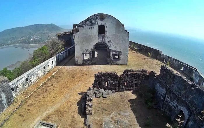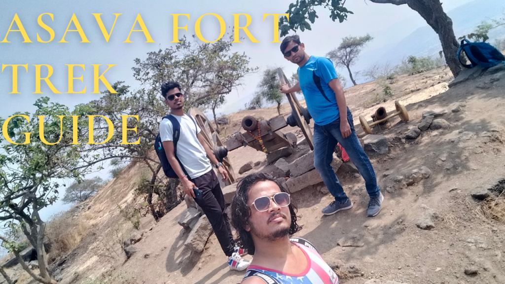
Asava fort/Killa Trek guide

Fort Info

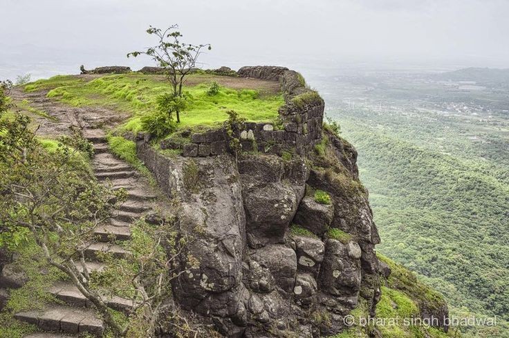
Name:- Asawa/ Asava

Height:- 1080ft

Place:- Boisar, Maharashtra, India

Difficulty:- Moderate

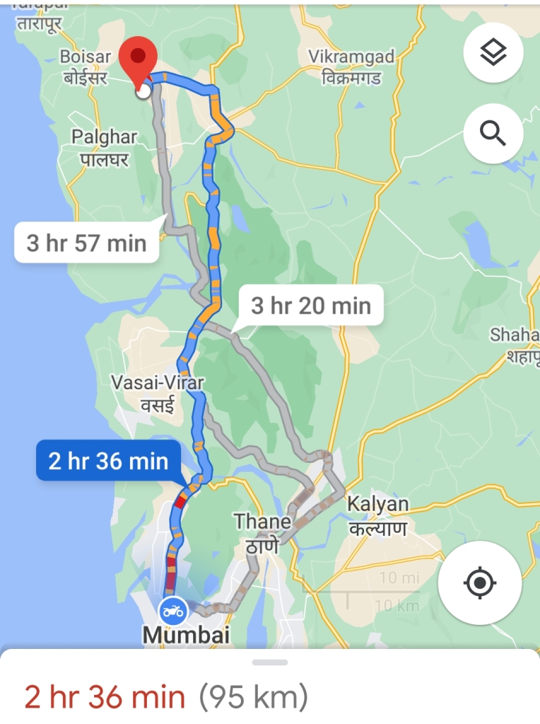
Distance:- 95km from Mumbai

Trek Duration:- 1hr 30min Max/1hr 15min minimum
Personal Experience

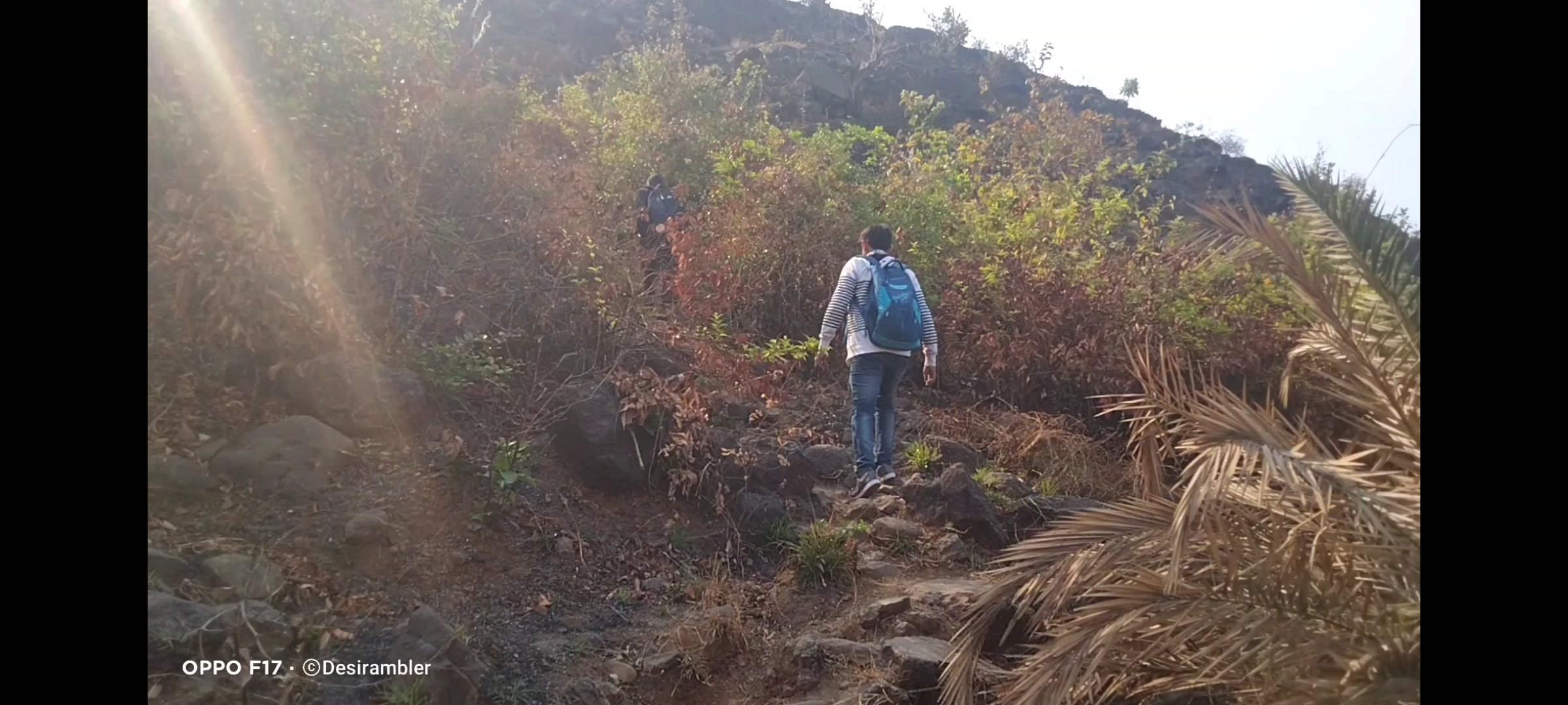
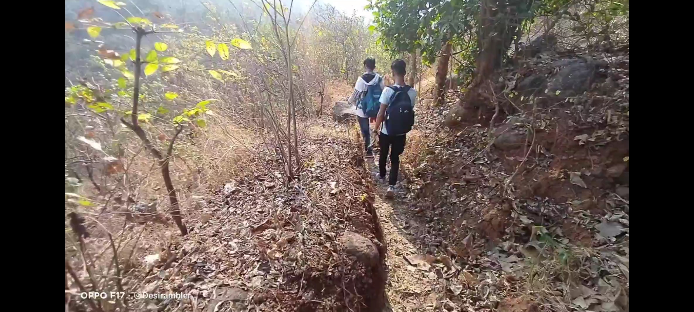
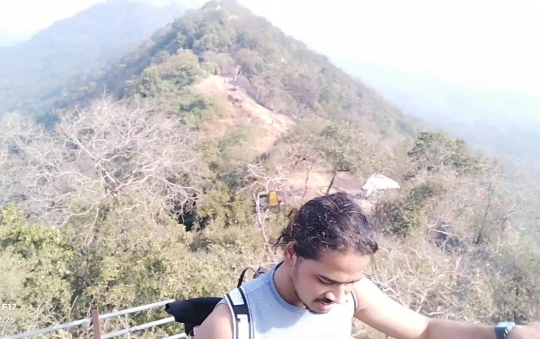
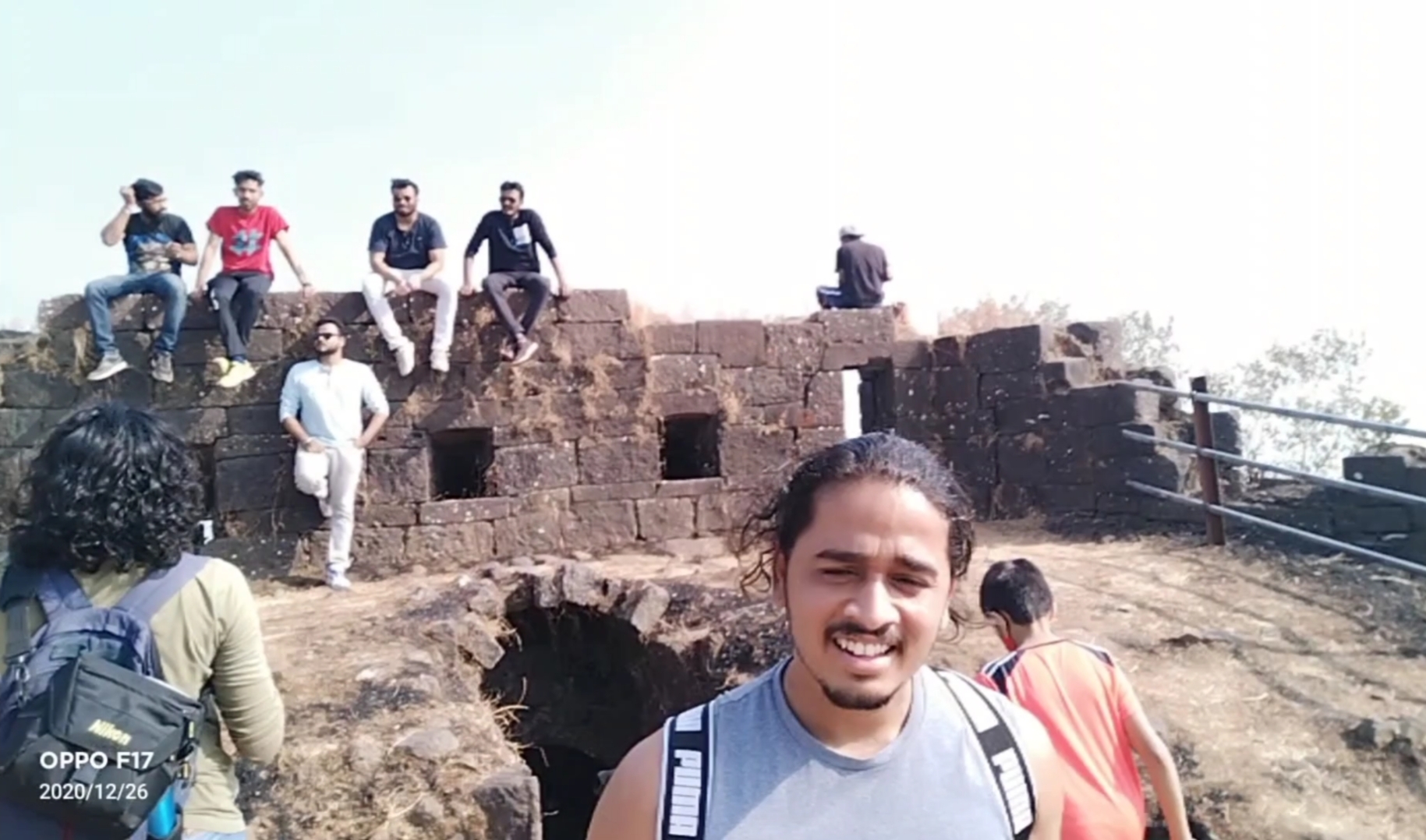
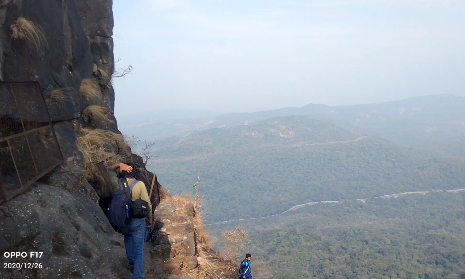
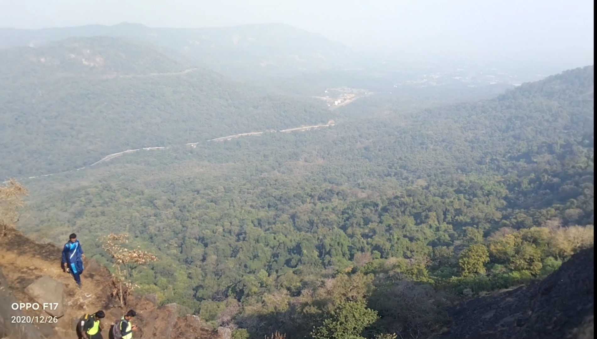
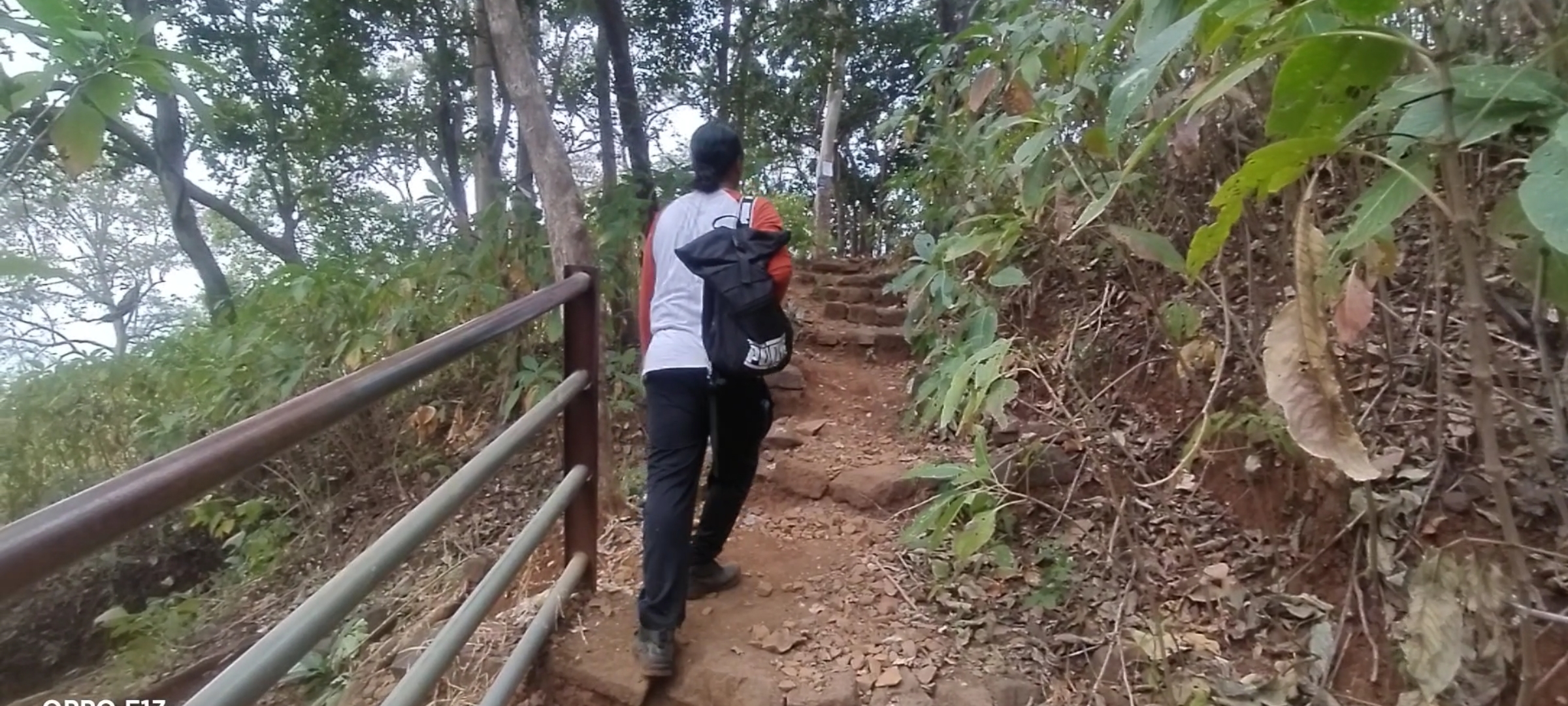
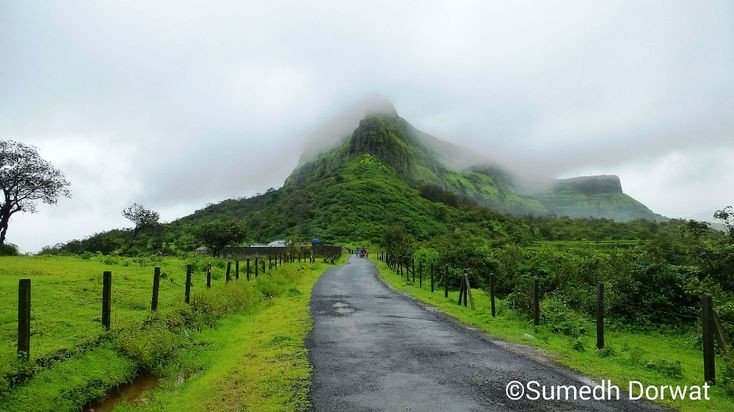
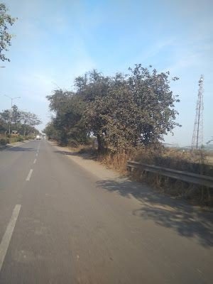
Started my journey to Asava/ Asawa fort which is situated in Boisar, Palghar District at 6:00@m early morning as I always prefer to go Solo but while watching my blogs and vlogs on my You Tube channel “Desirambler” they also came with me so the joy of Trekking gets more, it was and it is the time of Corona pandemic so there were few restrictions like lack of Road Transport and it was complete shutdown of Railway so Personal Vehicle was the best choice, 2 bikes for 3 person including me, our road trip started from the place where we met in Mumbai, as per the Google map it showed 2hr 36min, but with the descent speed and empty road we reached in 2hrs, the real confusion was to find the road to Fort through Village Warangade, it took 15 mins to find the actual way. we started our trail by 9:00 am after having breakfast.

You will find no parking facility near the fort, you can park bike or car in the Village on your own risks, we parked our bikes at the starting point of the trek which was 10 mins away from the Warangade Village, if you still got confused in finding the way through the village first reach near Viraj Industry which is the biggest industry at that place.

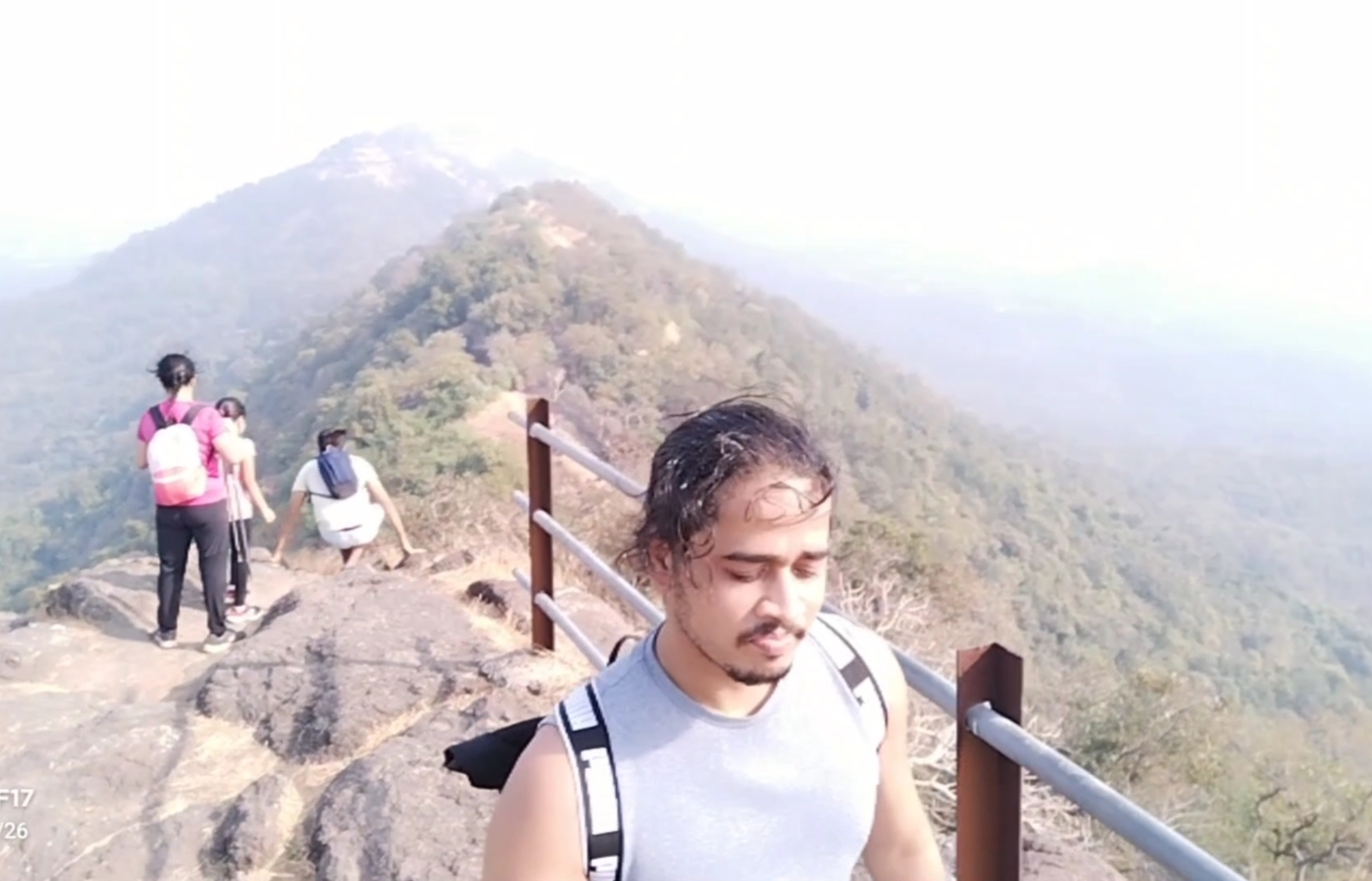
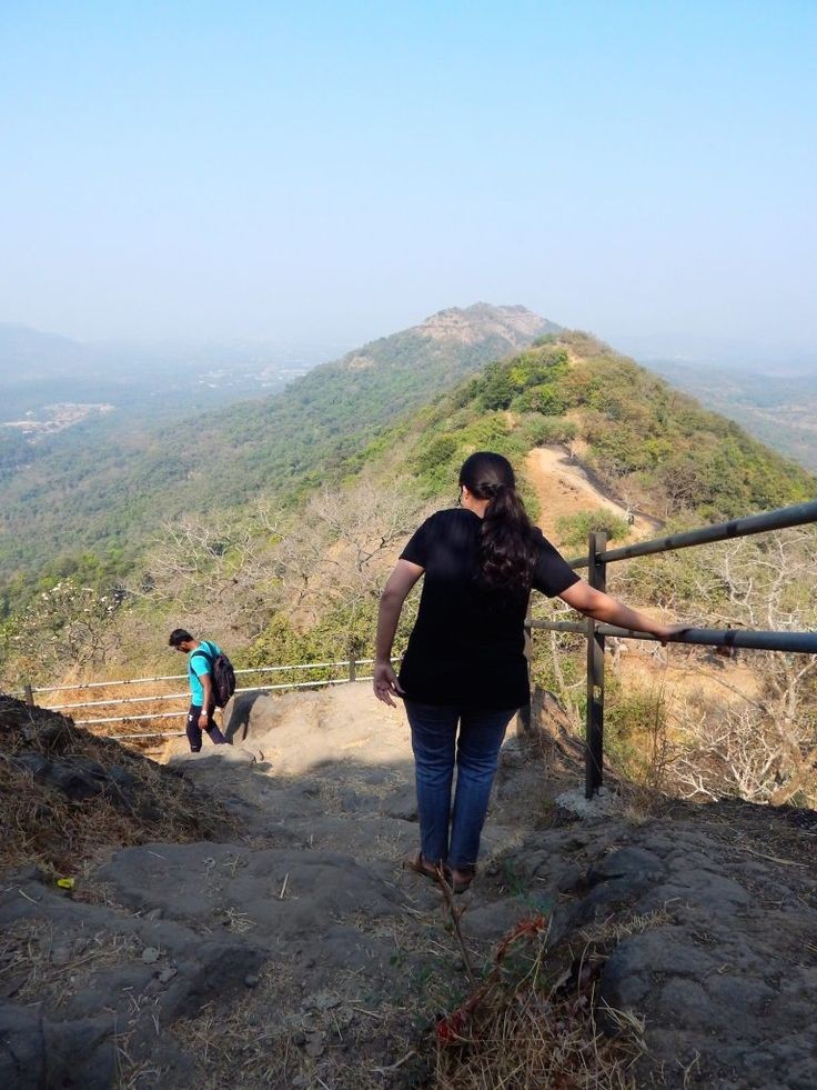
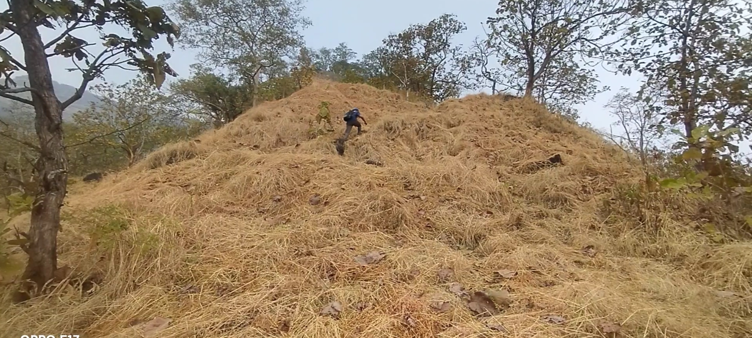
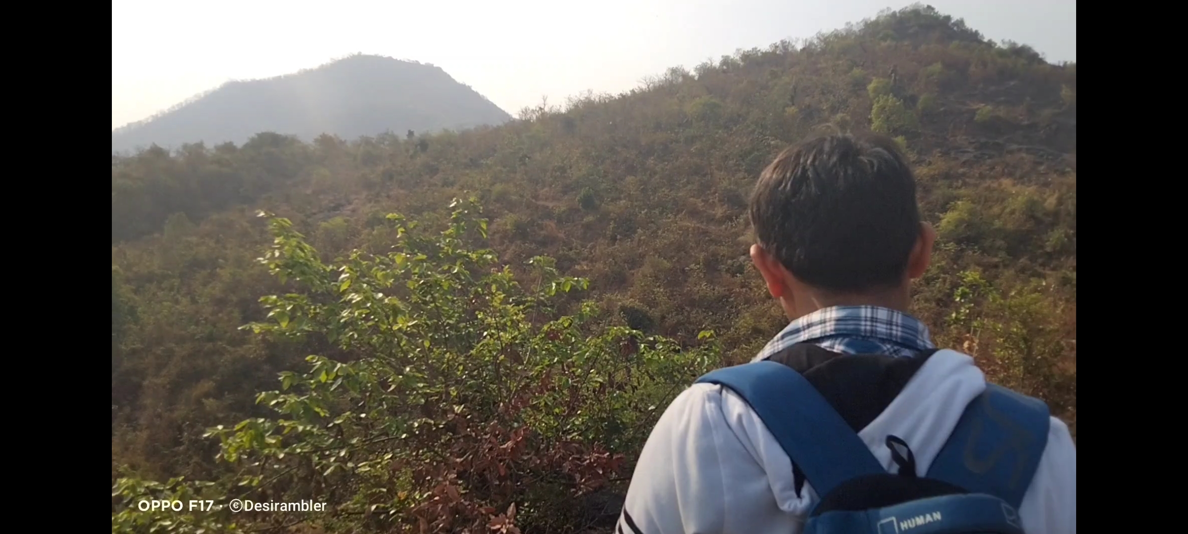
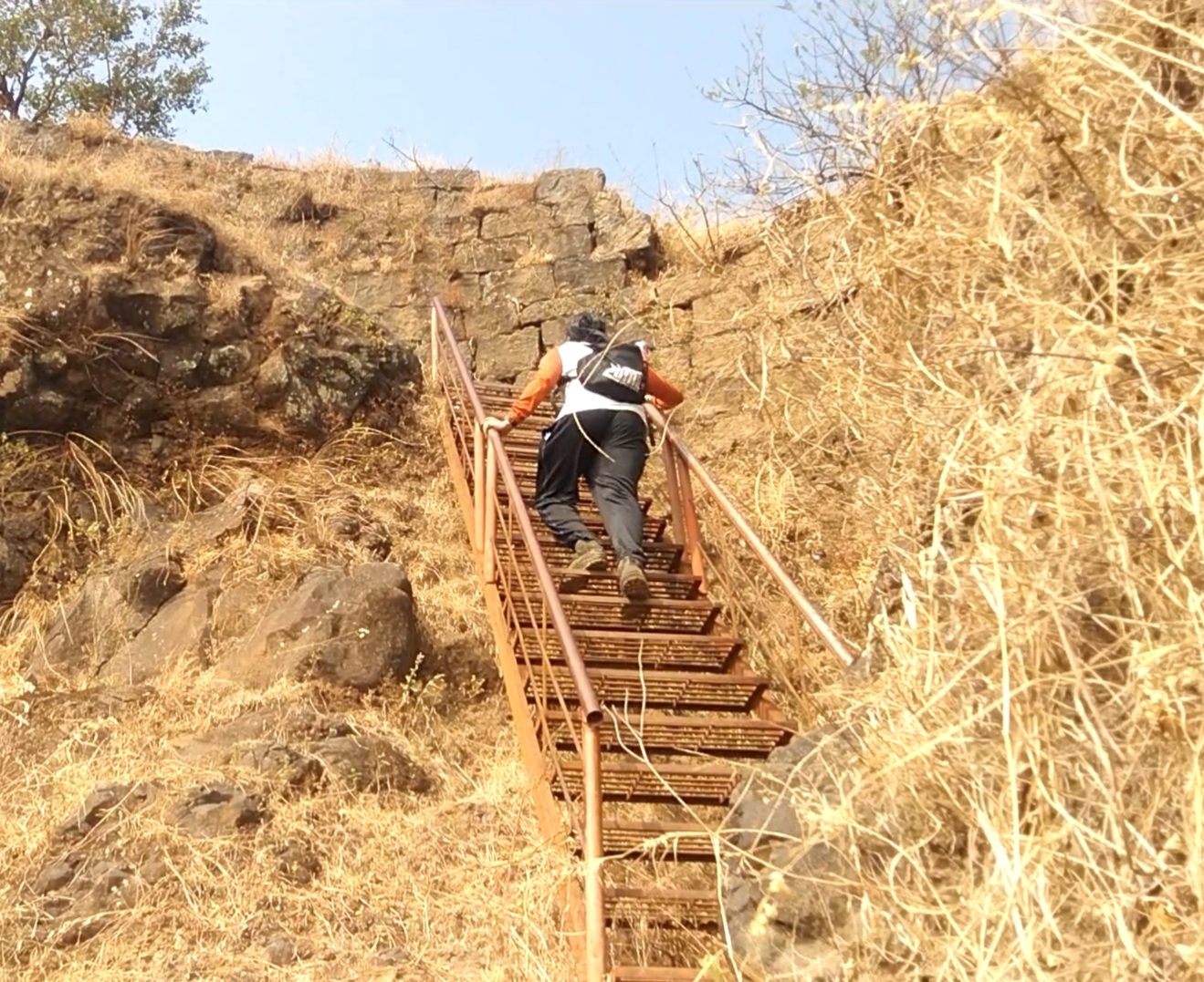
Don’t ever judge the difficulty of the Trek by its height, because I did so and got trapped in climbing the 2nd and final mountain by underestimating the way. as compare to my previous trek experience the climb was with rocks and the rocks gives legs support to climb, but at this fort the climb was full of slippery rocky way which gave our legs lots of tension to climb.
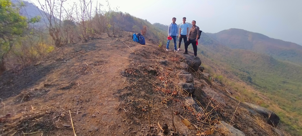
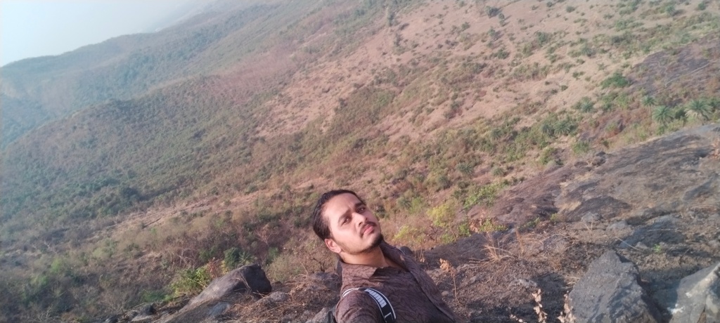
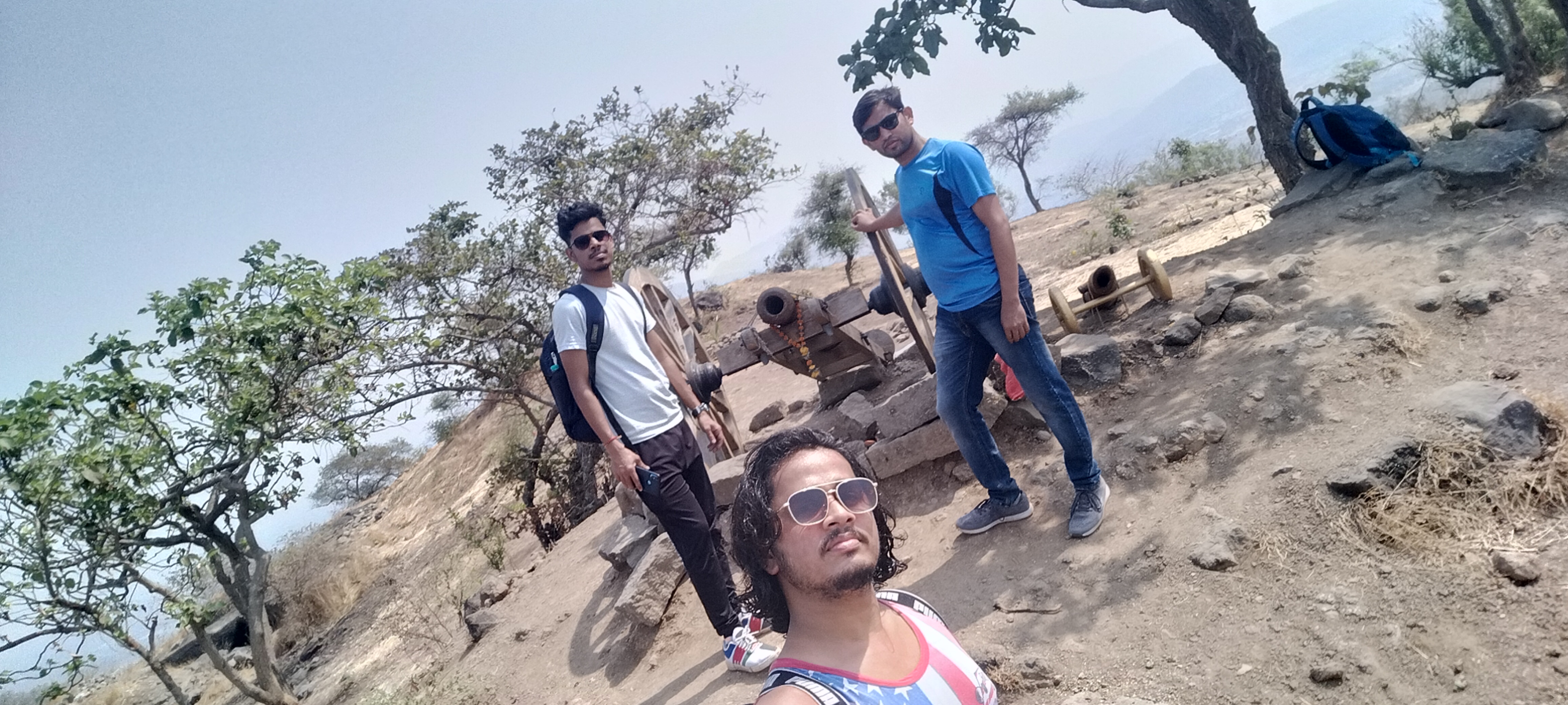
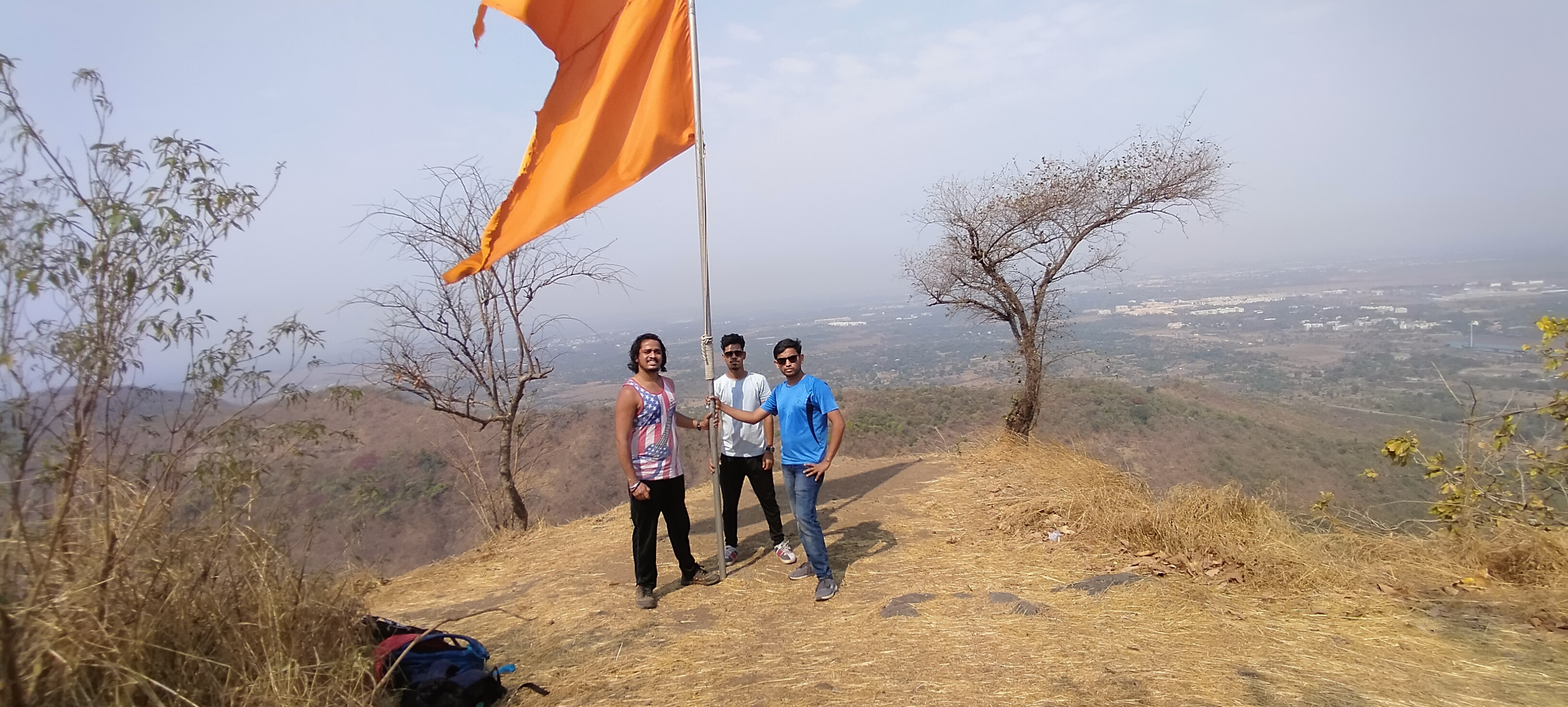
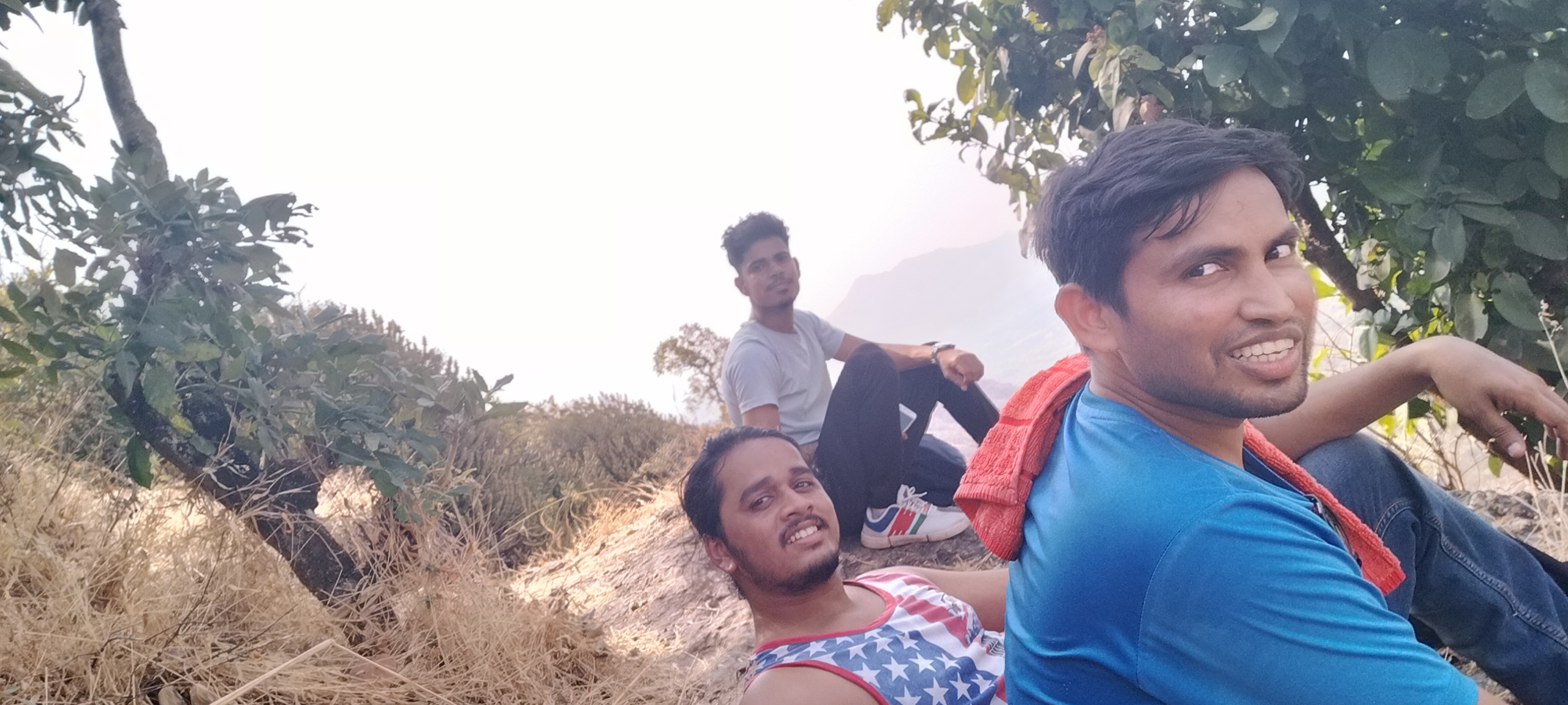
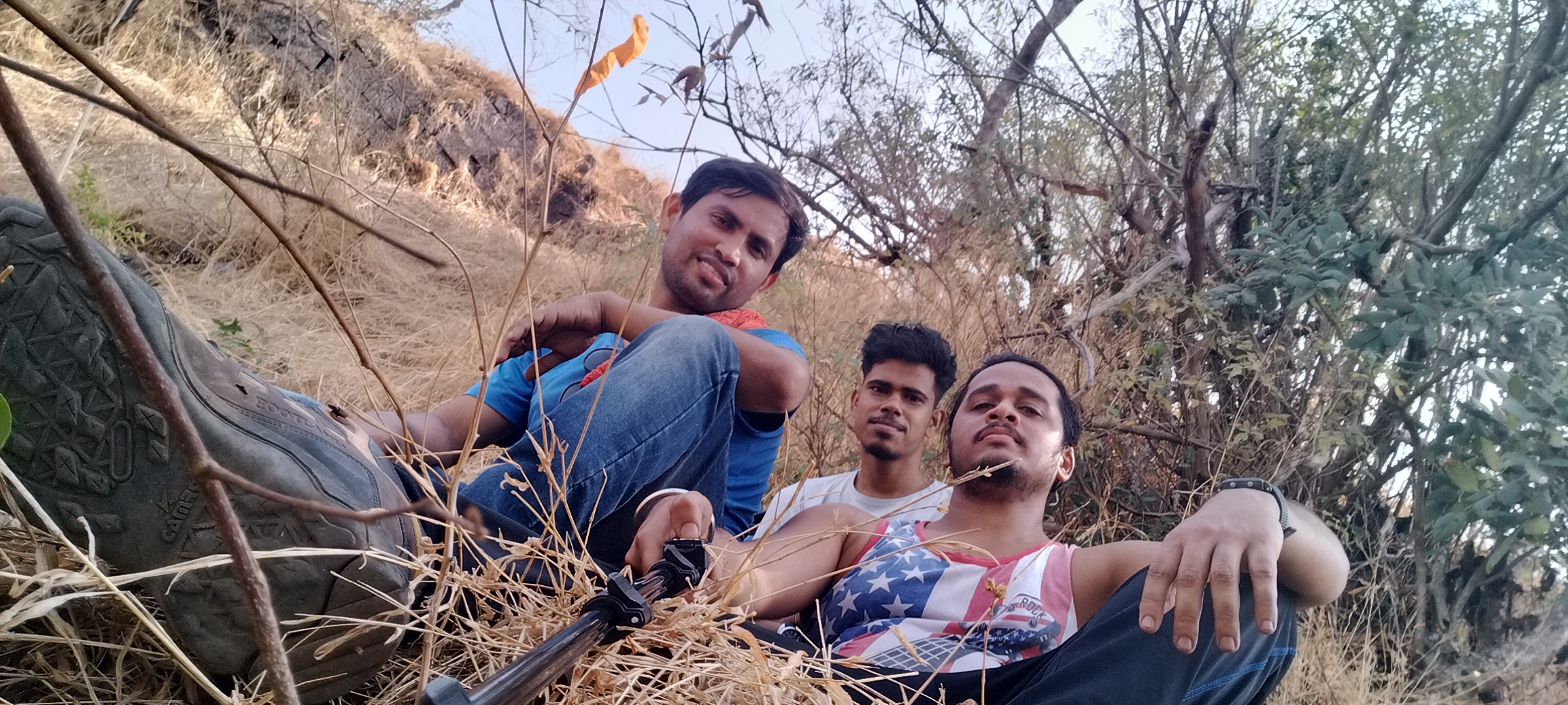
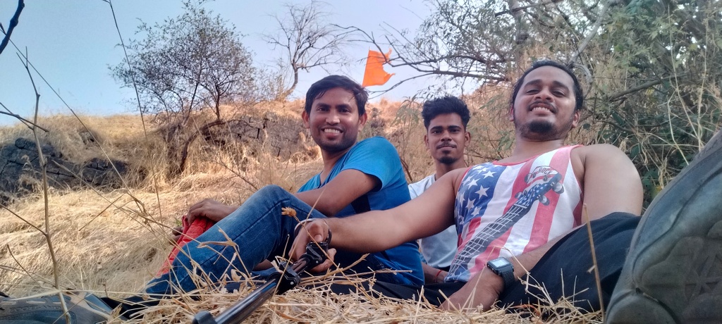
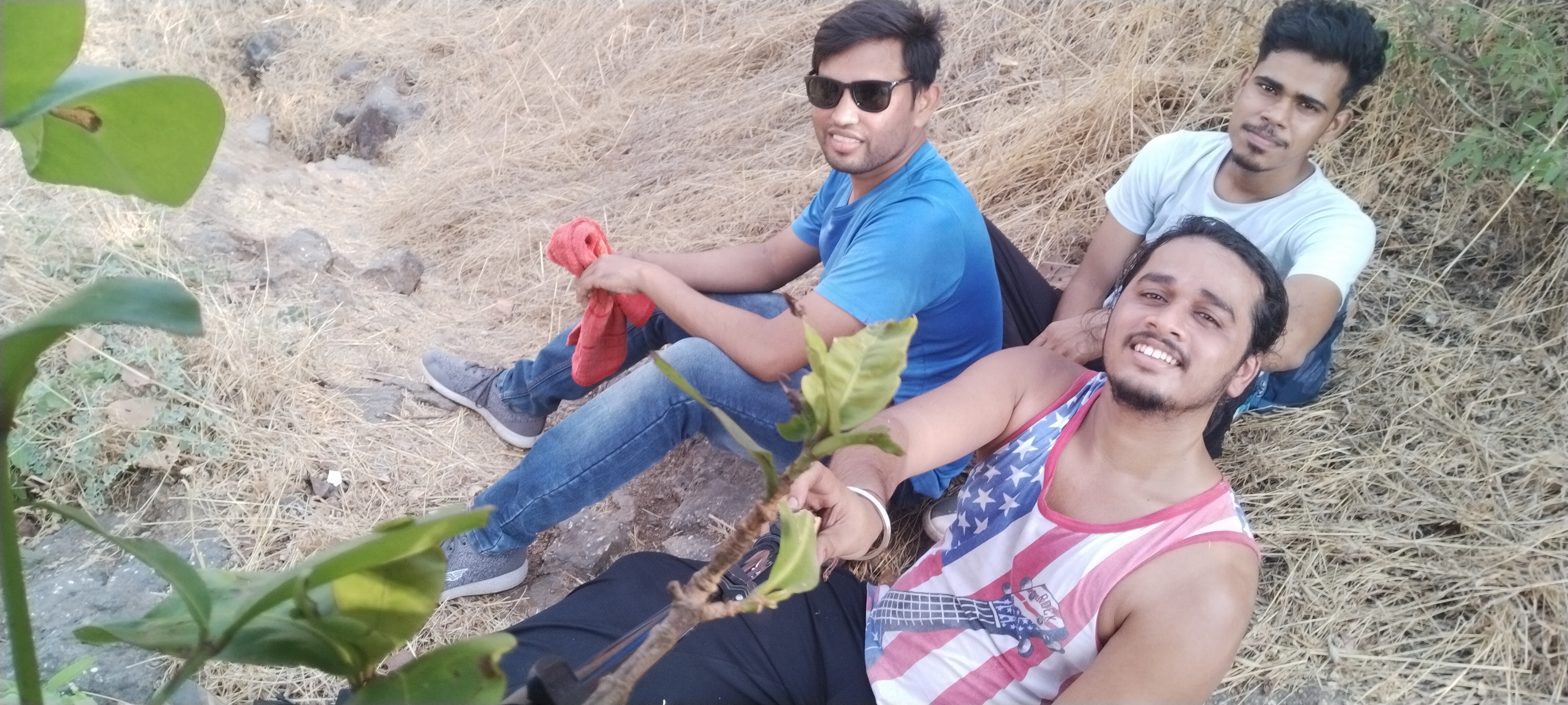
Me and my Frnds

Plz don’t forget to bring enough water bottles, I recommend 3liters per person and dehydration pills if possible, carry non oily snacks as I suggest in my every Trek, on the other hand no Stores for water and snacks in between the way, the trail is full of Woodland forest with no air flowing in summer,
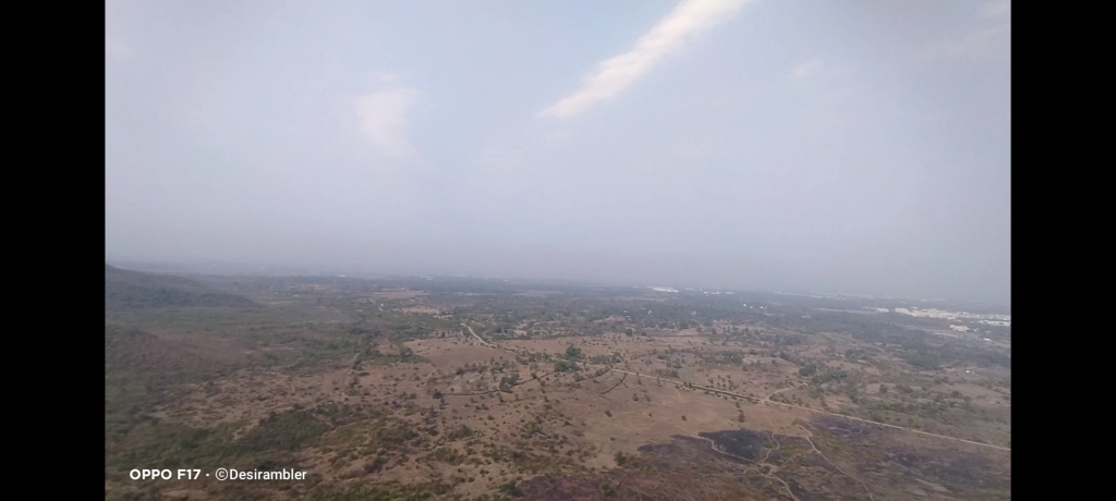
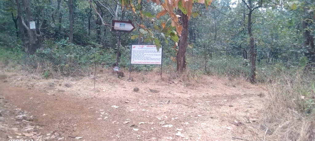
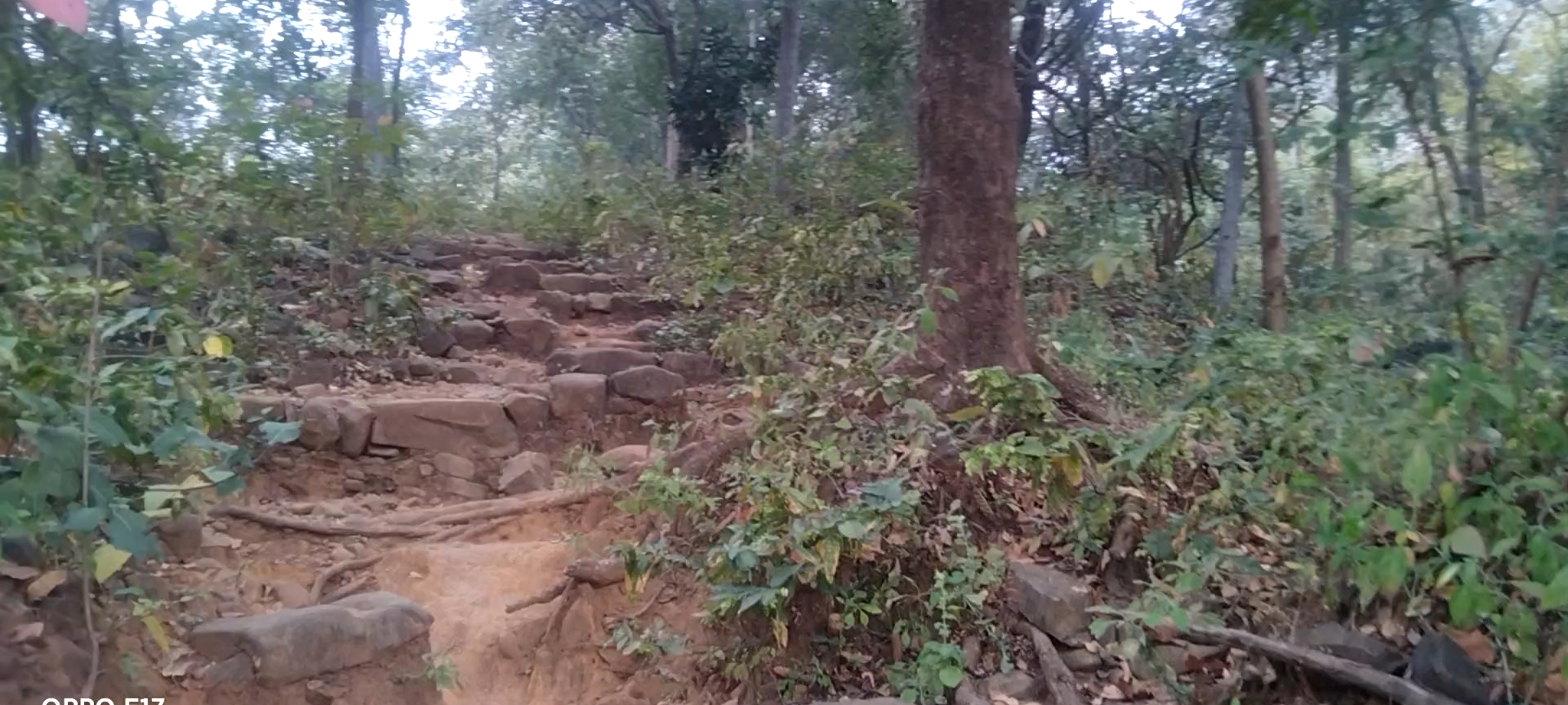
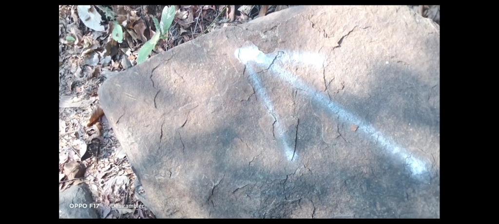
No chances of getting lost in the jungle because the villagers have marked arrow like picture on some countable rocks in the way to help the trekkers like us to find the route,
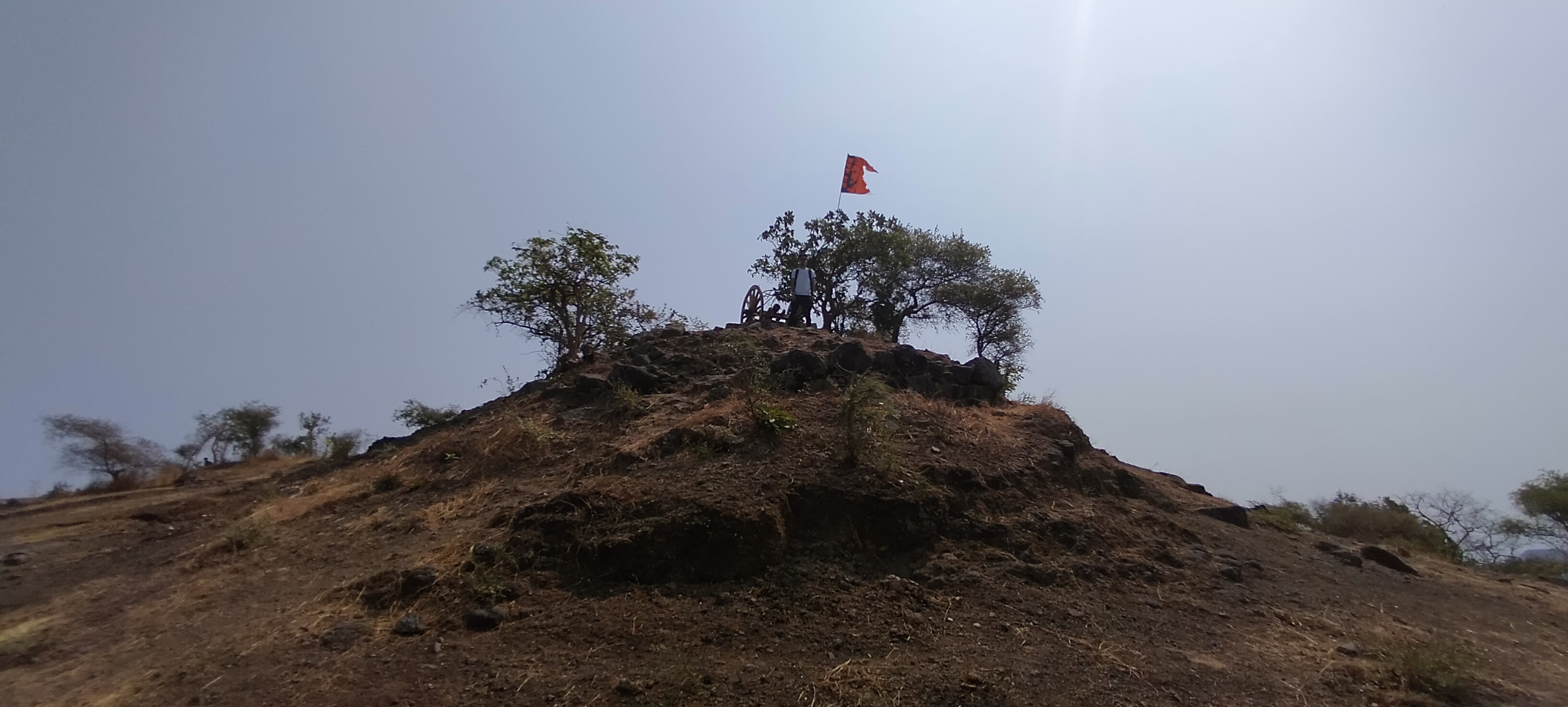
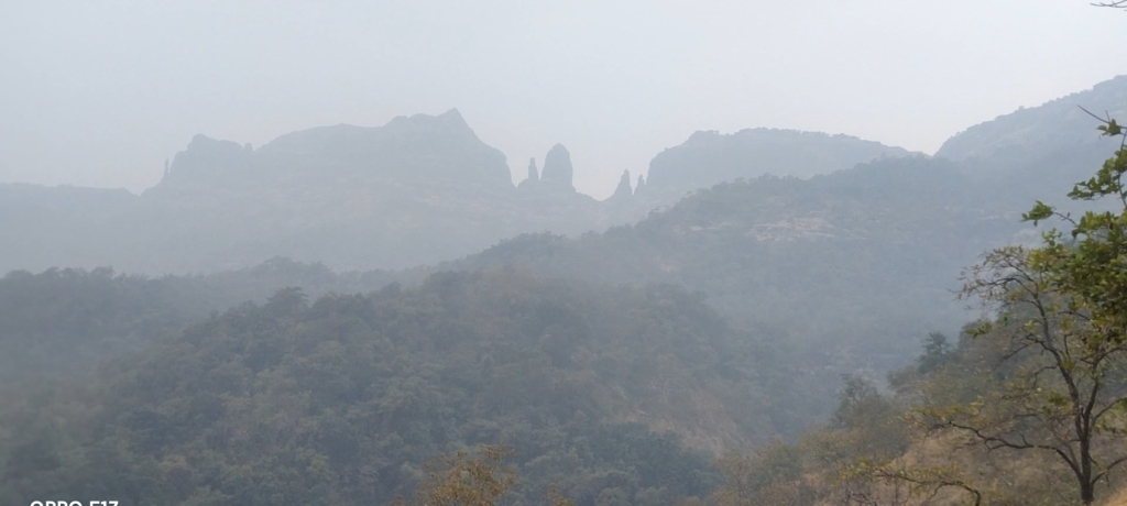
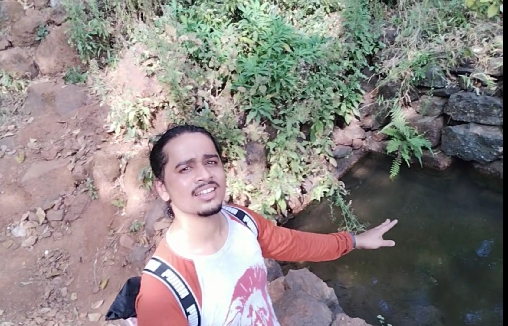
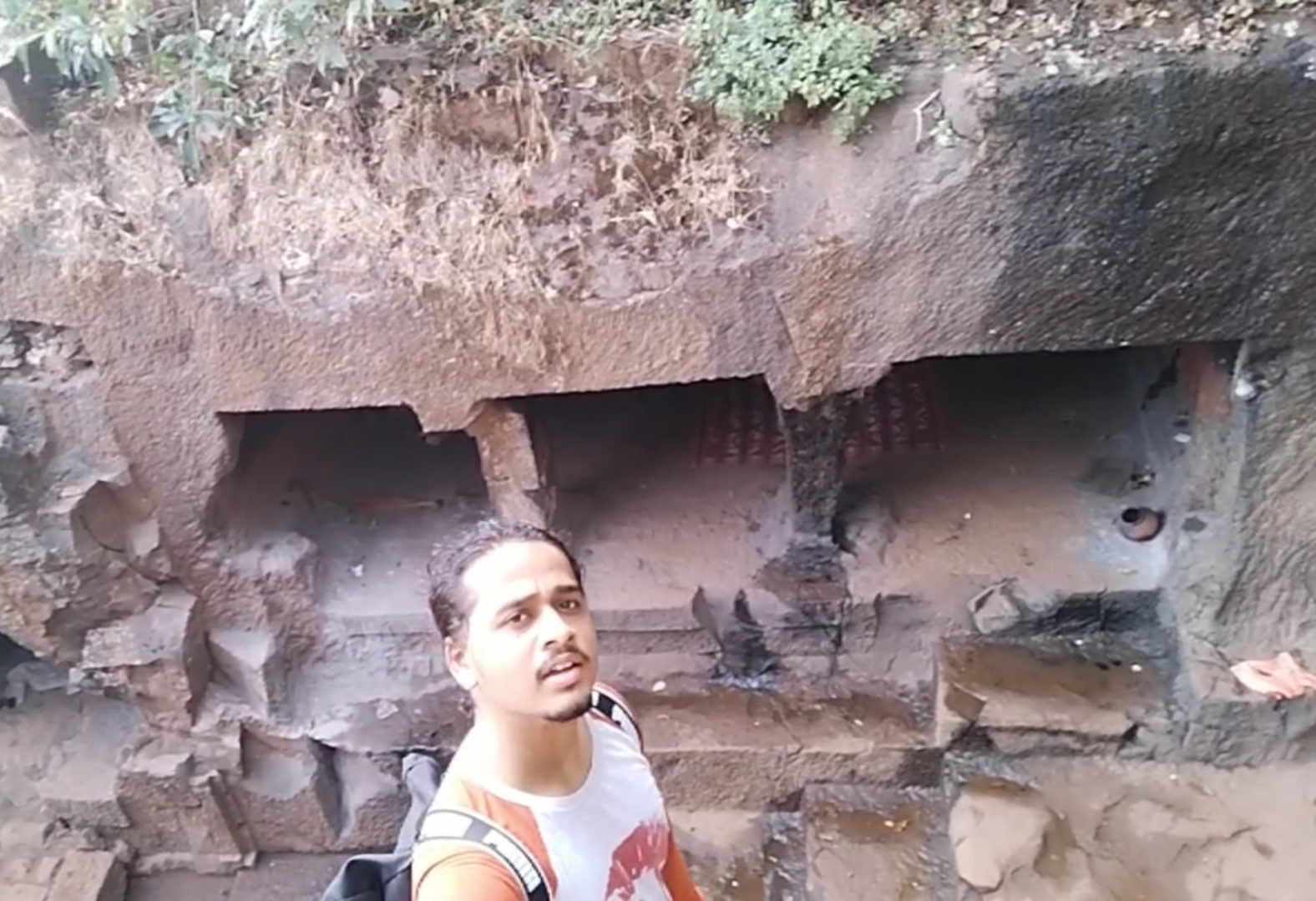
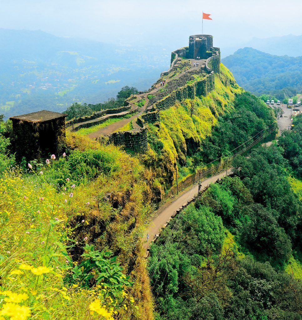
Me and my friends experienced a lot of humidity in the Climate, as i told you before there were no store in between the trail to buy water or snacks so i suggest to drink water sip by sip because the sweat i drained was incredible after 45mins of trekking my shirt was full of sweat so we decided to take our first break, i changed my shirt we had some non oily snacks and drank water our break last for 20 min which was a big one, now there was only on mountain to climb and this was the steepest one with slippery rocky way as i told you before, time comes when the climb becomes so hard that you lose self motivation and think of quiting the trek but you have to believe in yourself and keep trying look at th top the saffron colored flag and imagine yourself at that same place holding flag this thinking will energize your mind and allow the body to move forward, still 45 min still to climb after taking break, this time we found two local people climbing the fort as we were moving forward, as it was the occasion of Mahashivratri so they were going for worshiping Shiva Temple at the fort. They told us some interesting facts about the fort and some special places to Visit like the cave and the water stream which is 365 days of supply fresh chilling water as compare to us they lot more experienced in Climbing mountains because they were 15 to 20 years elder then us, i have always noticed that the final 100 steps remaining are the tougher steps to Climb.

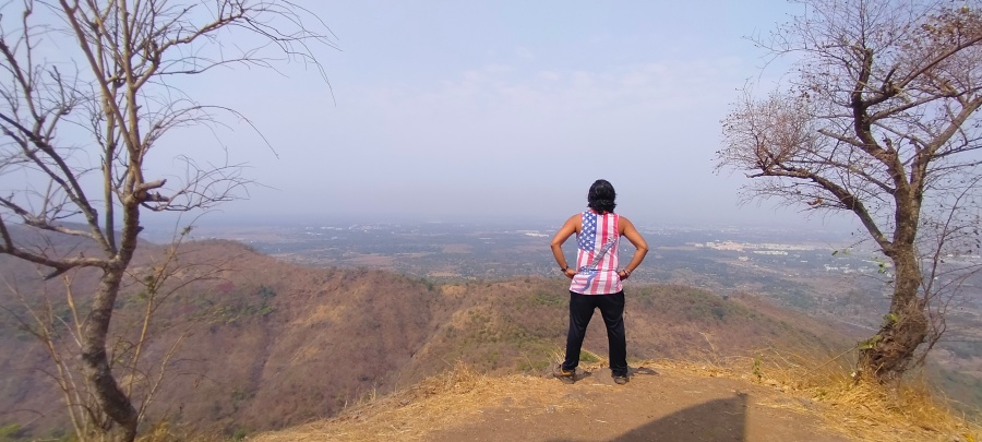
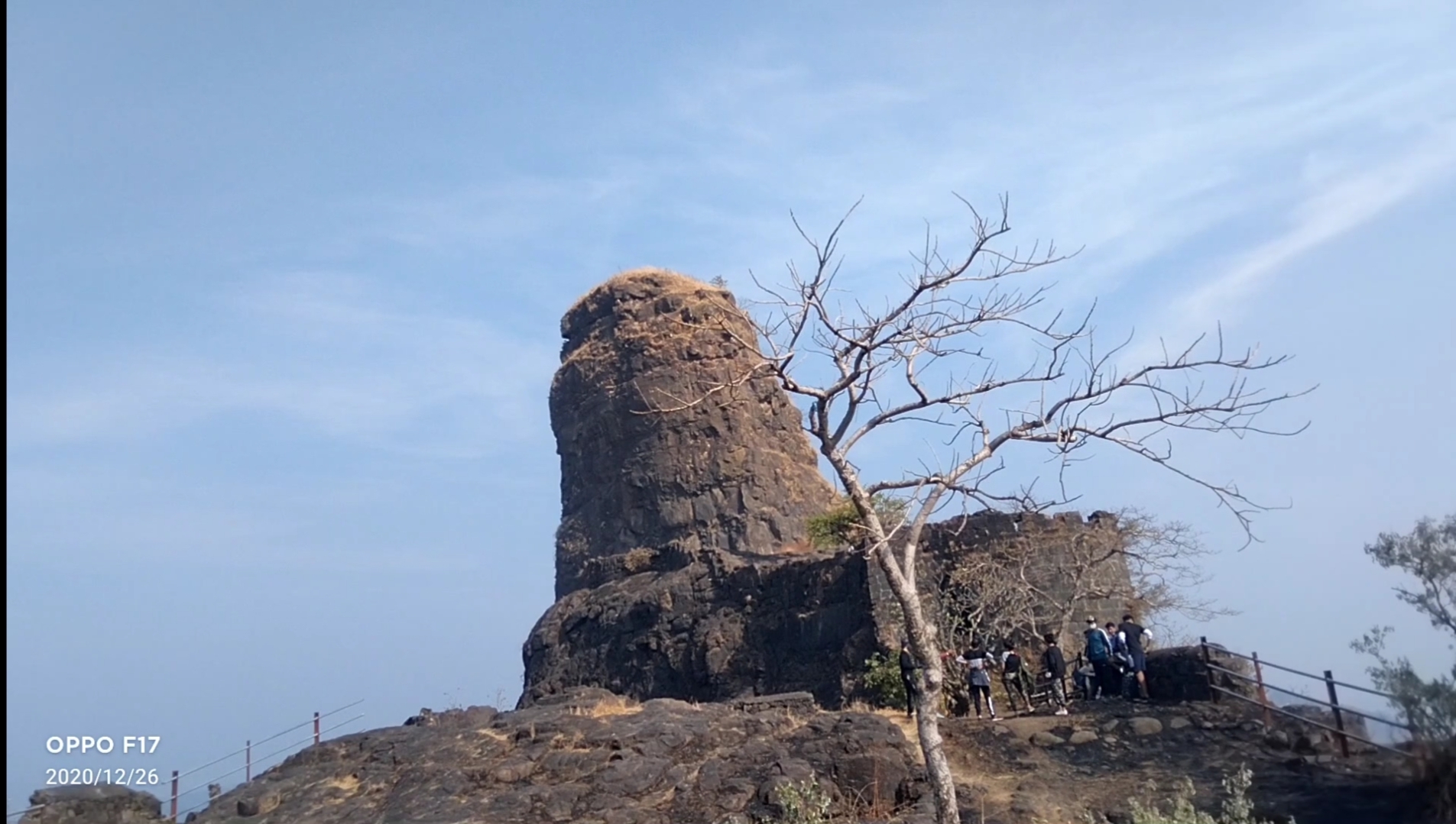
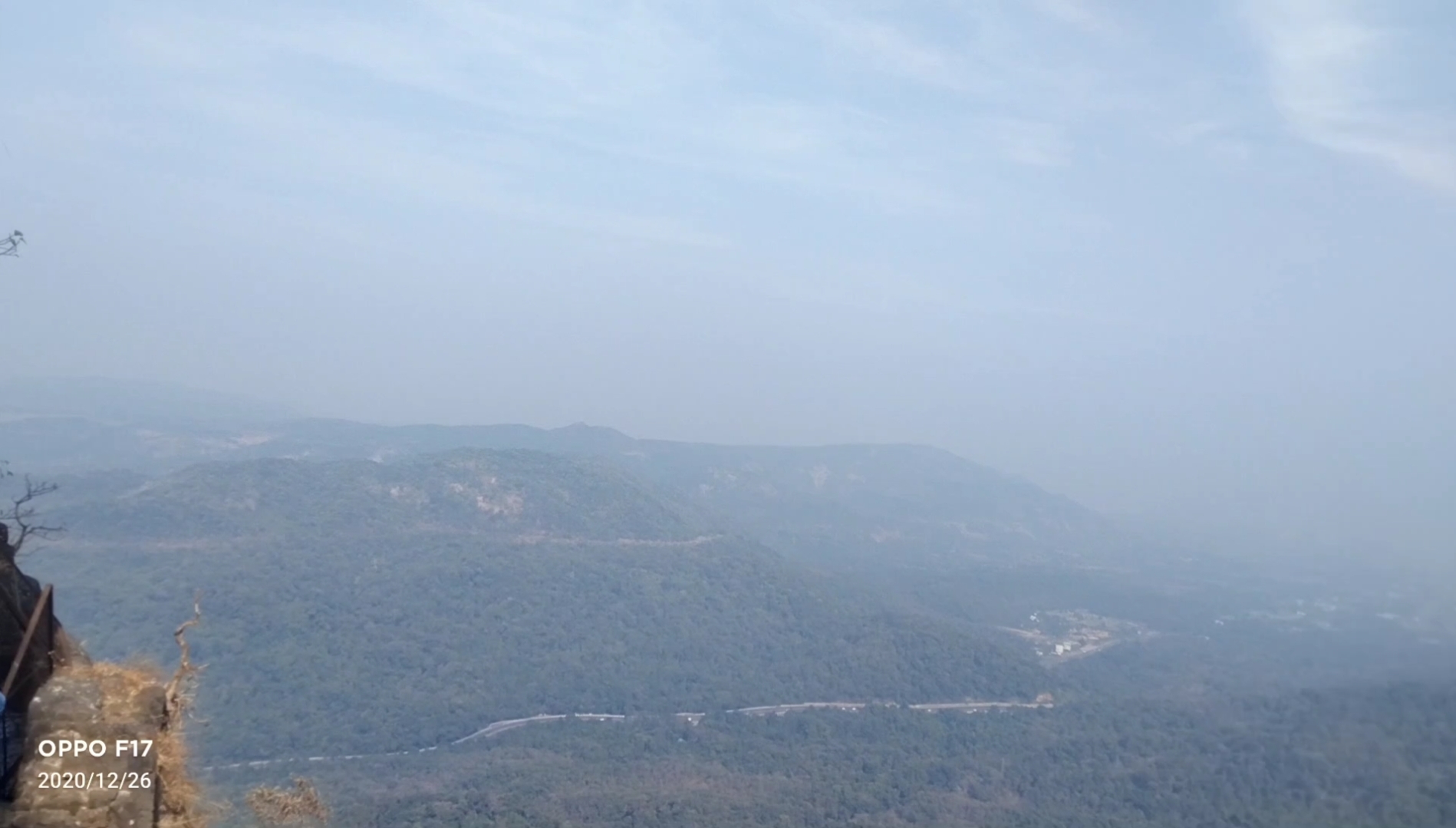
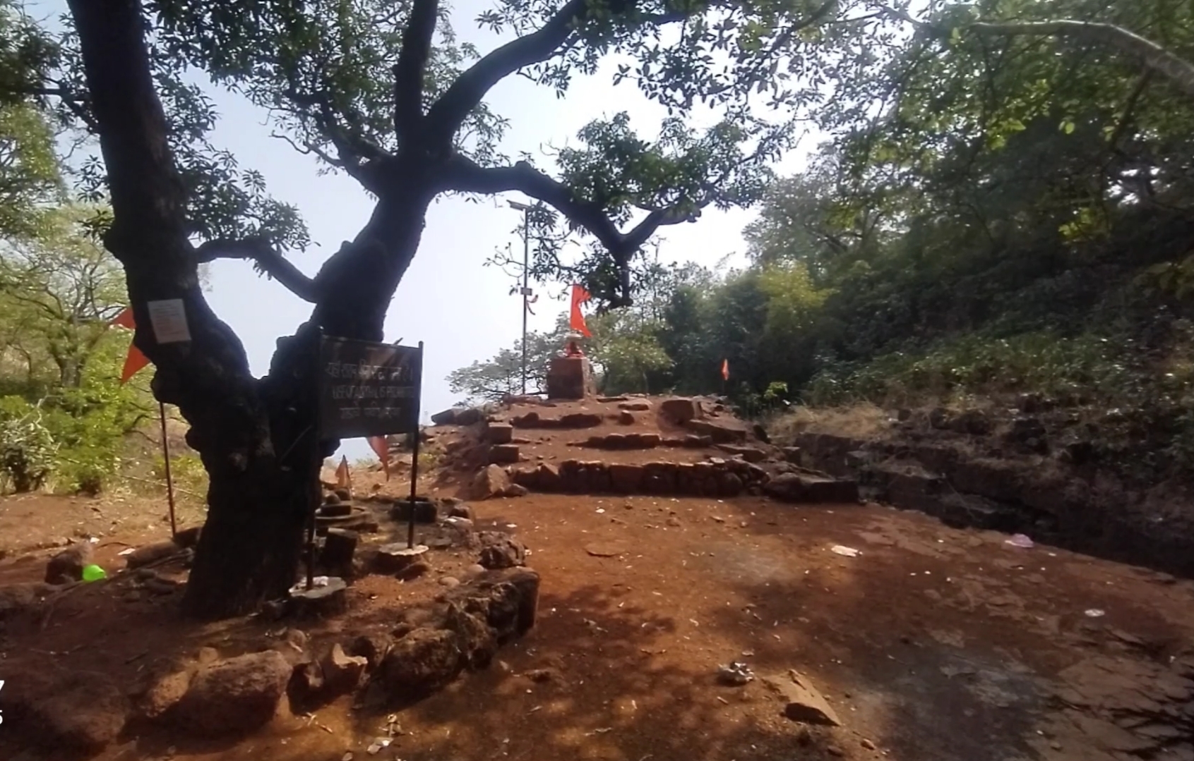
Below are the few pics clicked inside the fort
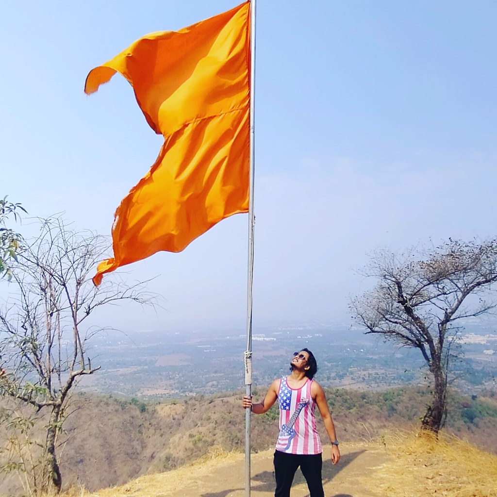
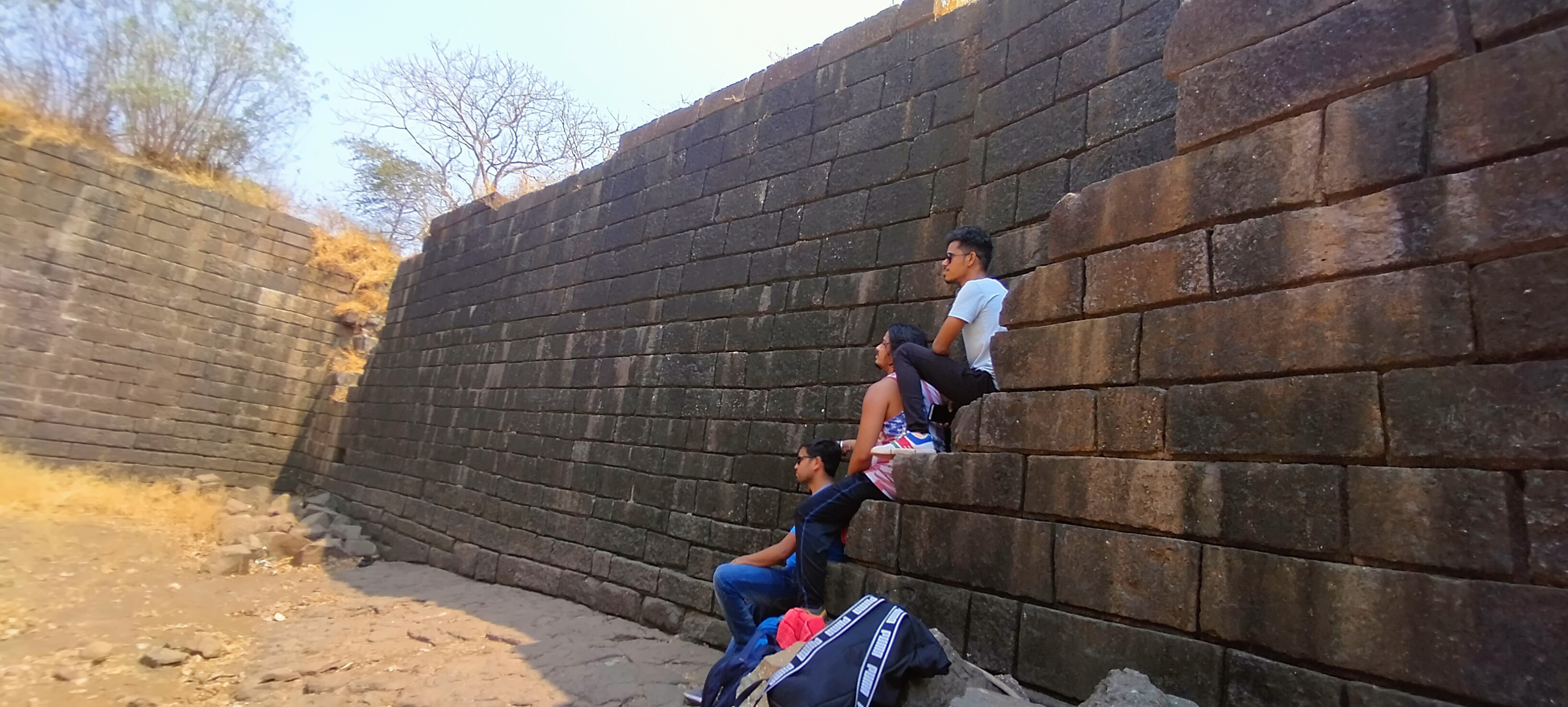
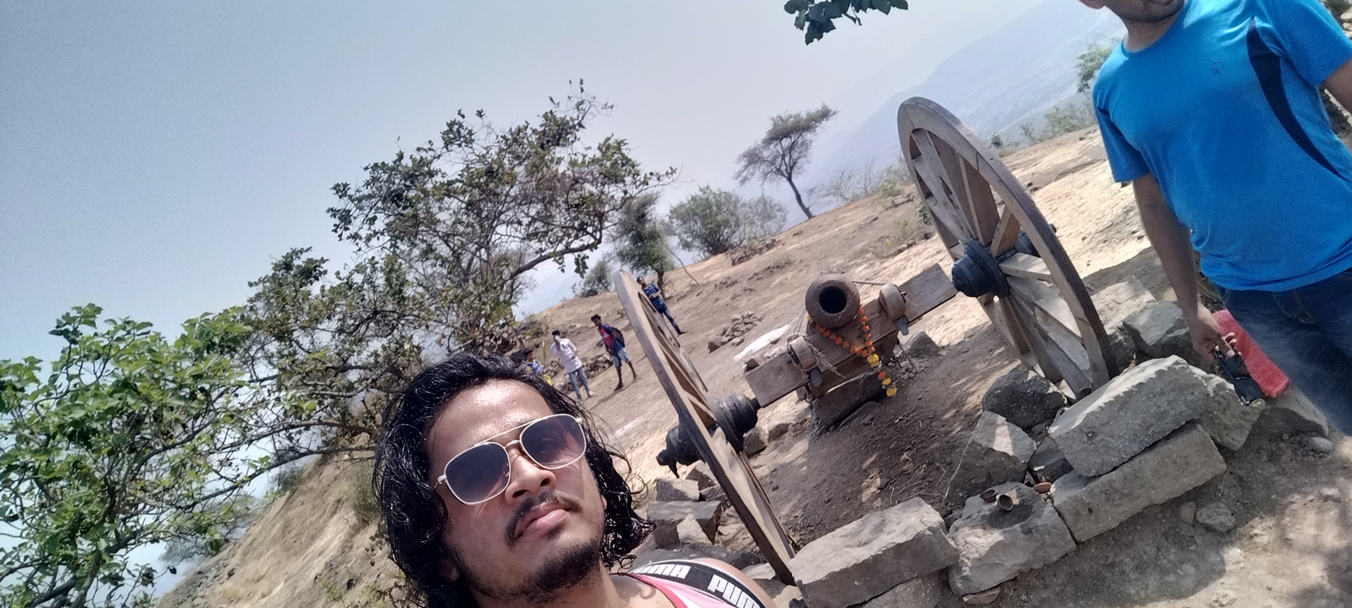
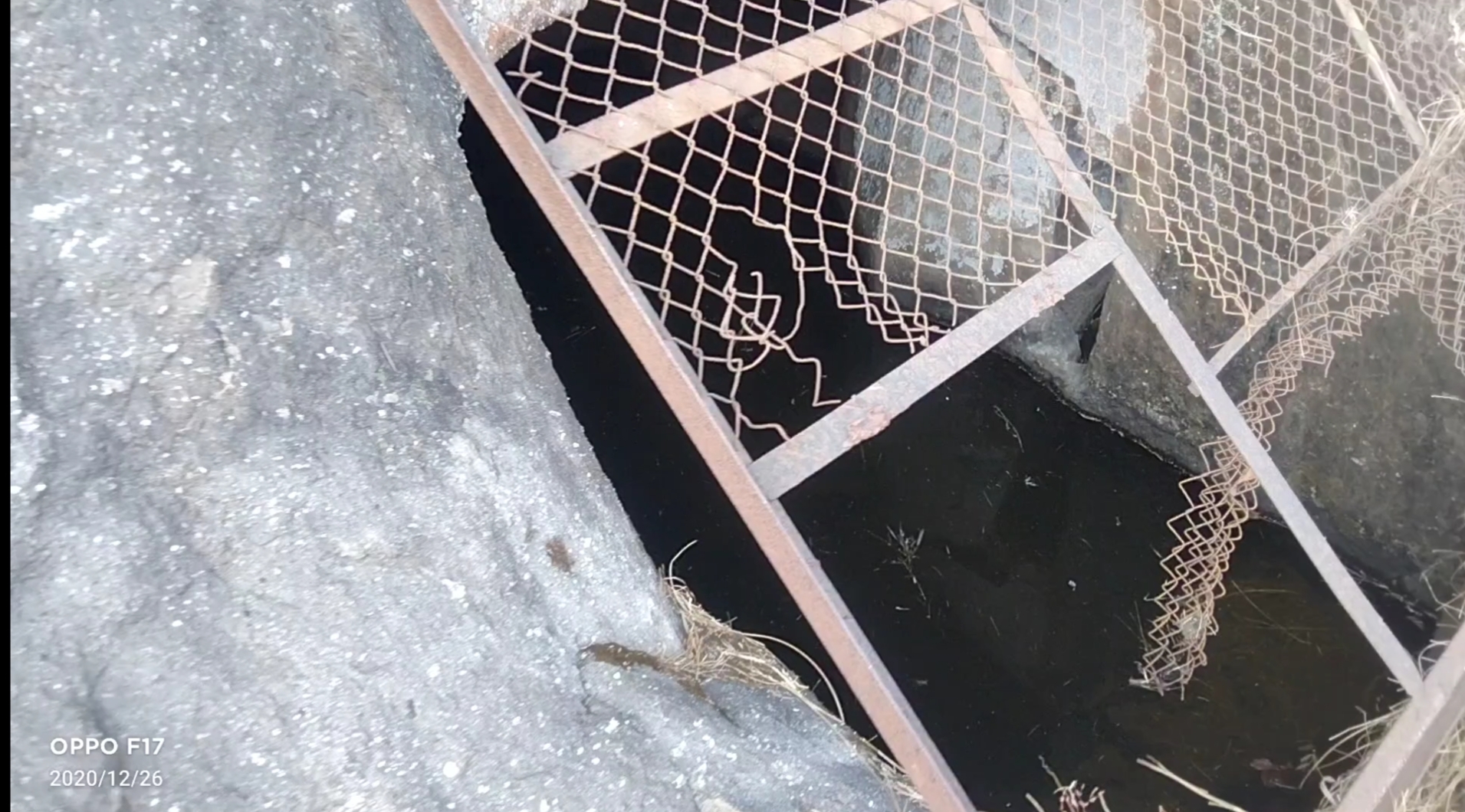
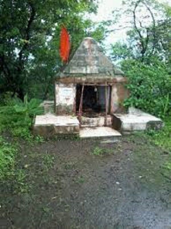
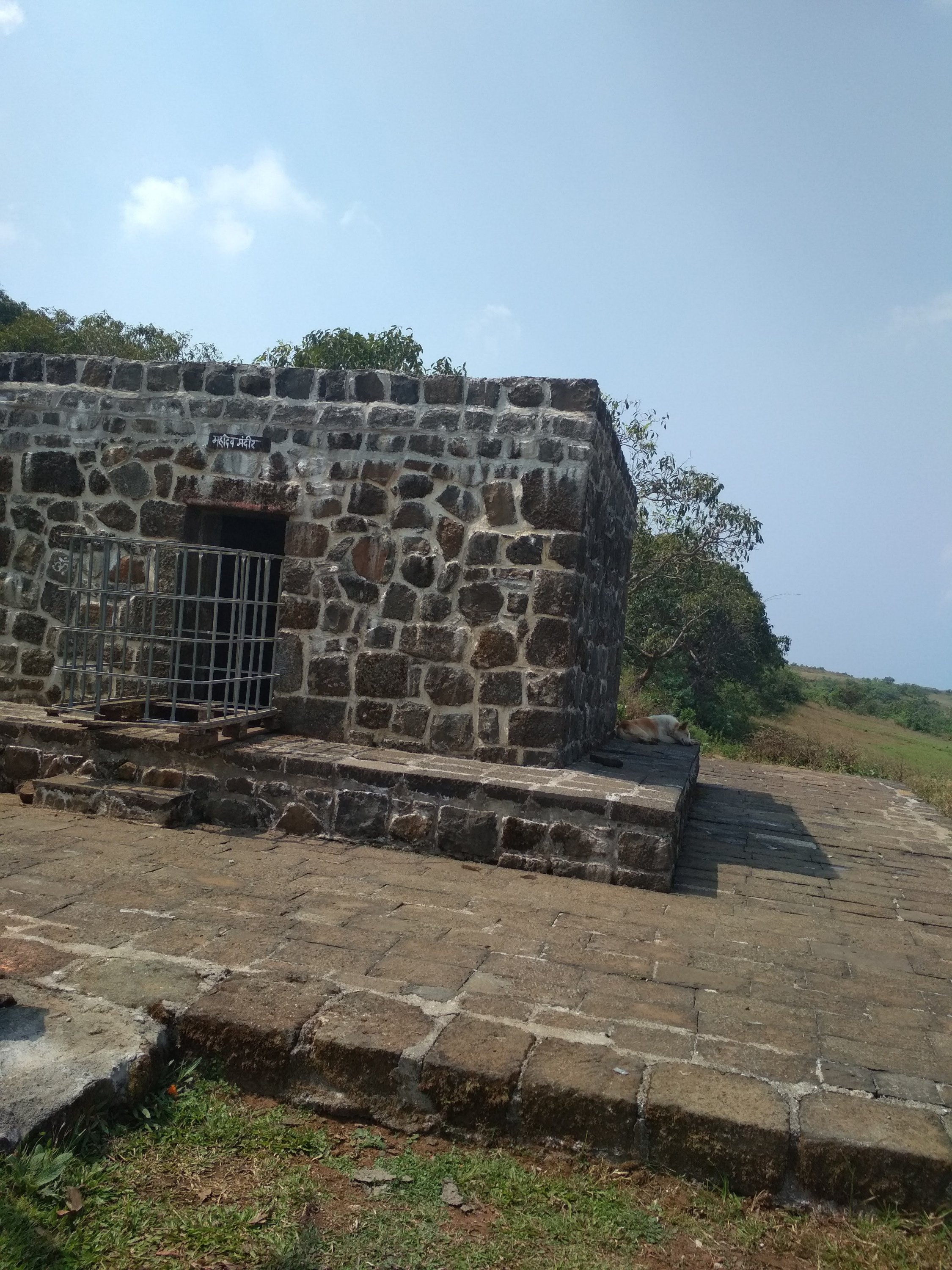
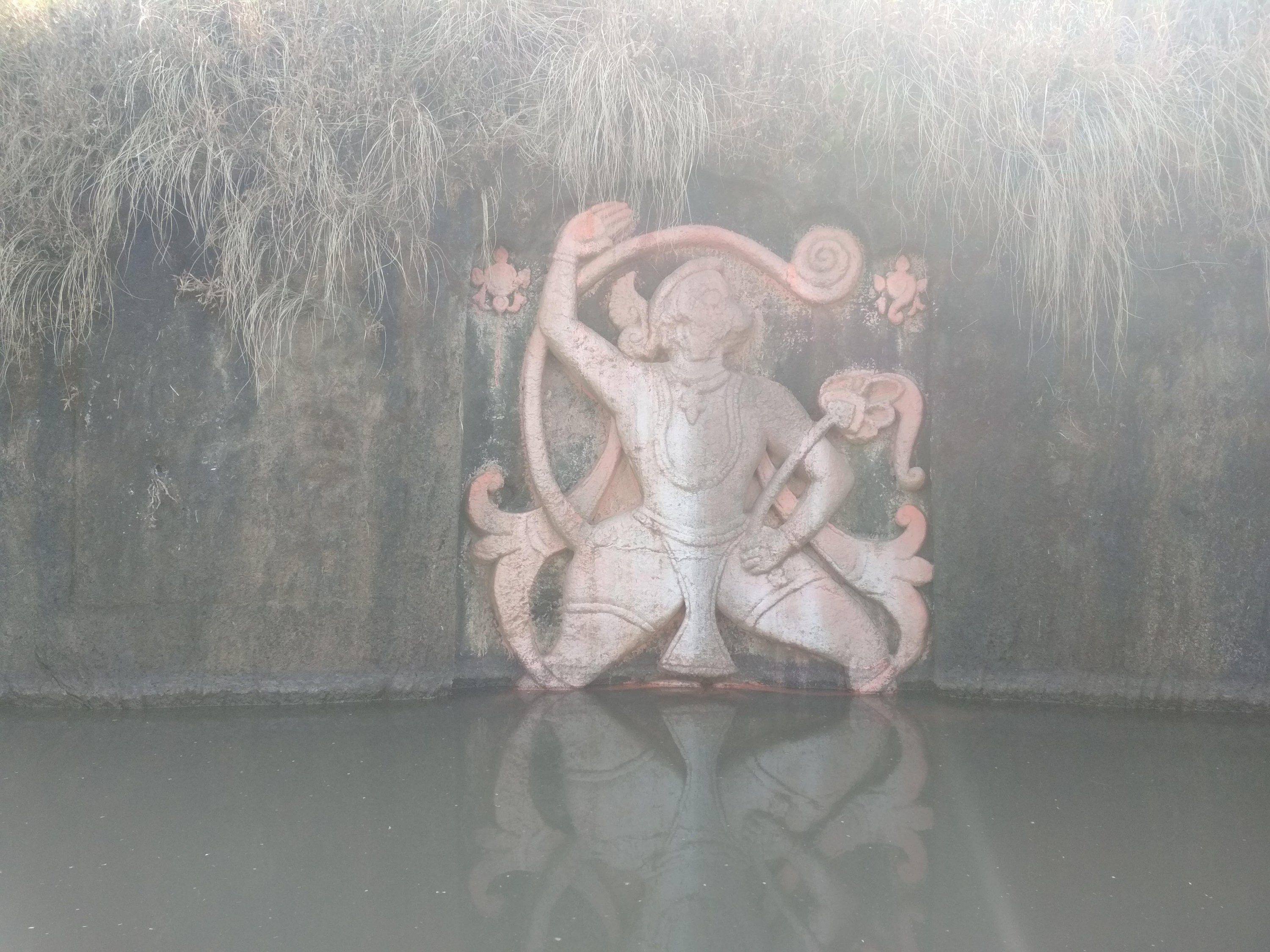
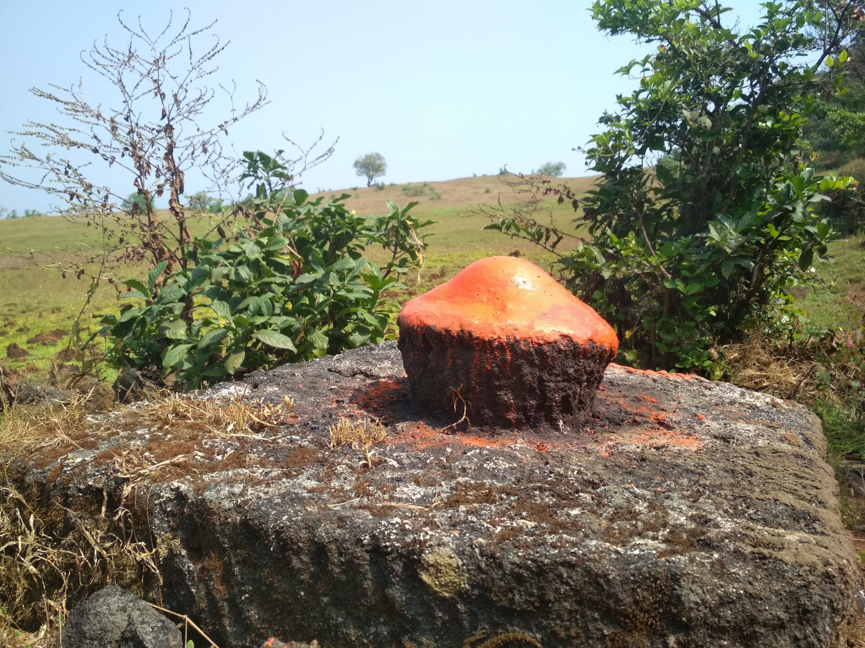
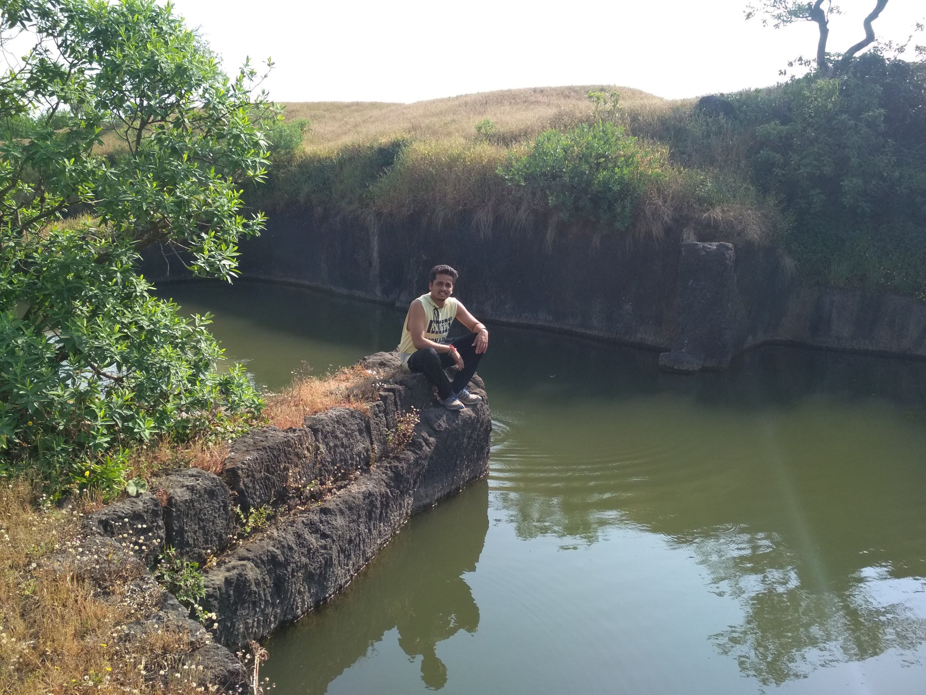
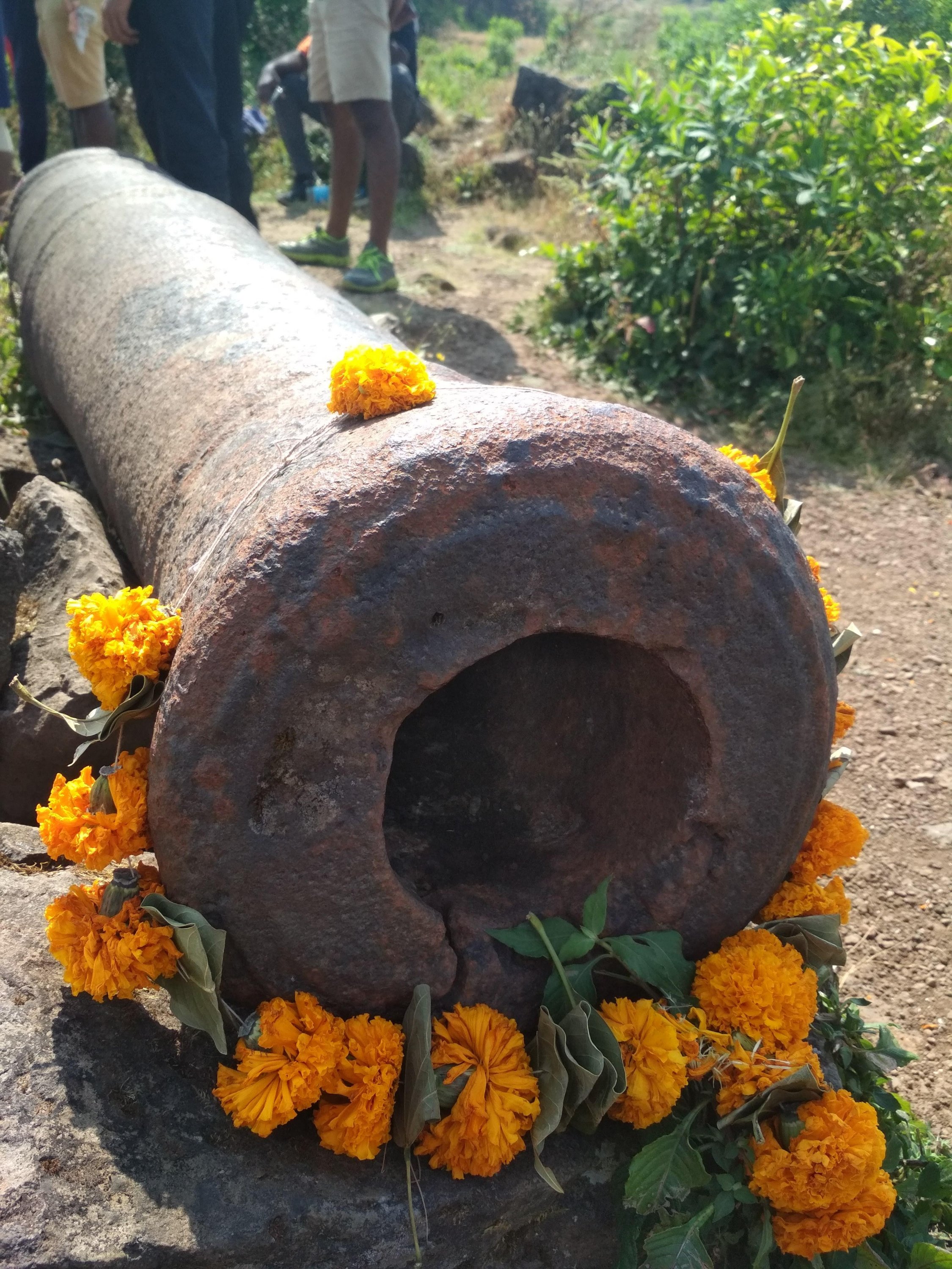
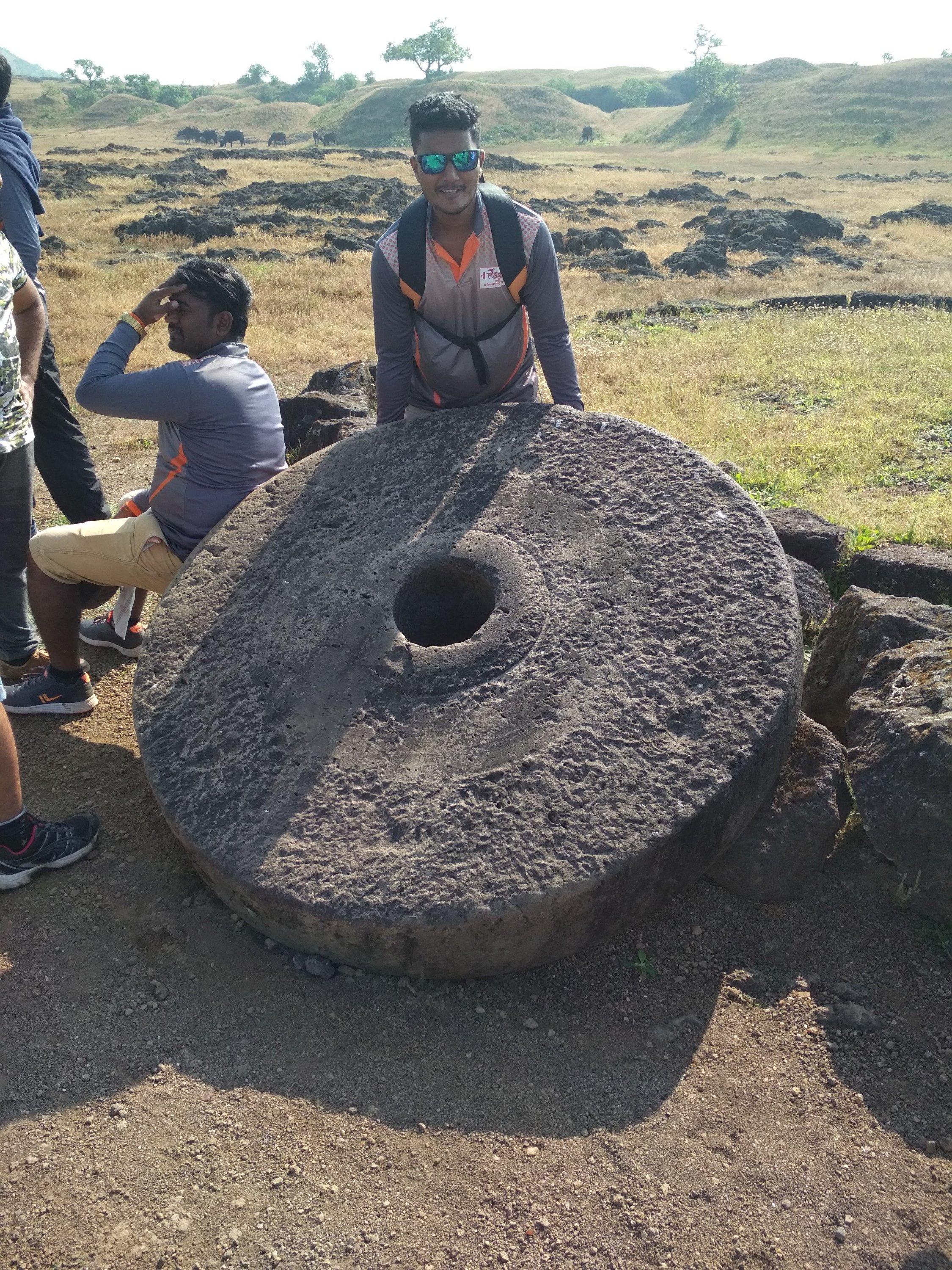
After reaching the top i saw that this fort is not big enough to roam and take rest as there no place to rest Like other big forts Like Mahuli, Sindhudurg fort and Prabhalgad, we decided to take to walk around the fort to see what it has like we found 4 water tank of which 1 was huge as you can see at the below picture and small Temple, small cannon many of the monuments was flushed away due to heavy rains and also no protection facility made by Government to protect it. the cave ans water stream as i mentioned was build in between the Climbing way but at the other side which was impossible to descent and Climb again because there is only one way to exit the fort if you are First time trekker at this fort like me, we spend 1hr at the fort at the raging sun was on our head which made us exhausted and Hungry, started our exiting way as soon as possible because our water supply was going to end soon, it was much difficult to go down because there were no support of rocks or any tree and the way was too steep, if unfortunately some thing happens and we slide down it could hurt us Badly. in 1 Hr we reach the start point and exited the place in hurry because we all were starving like hell.
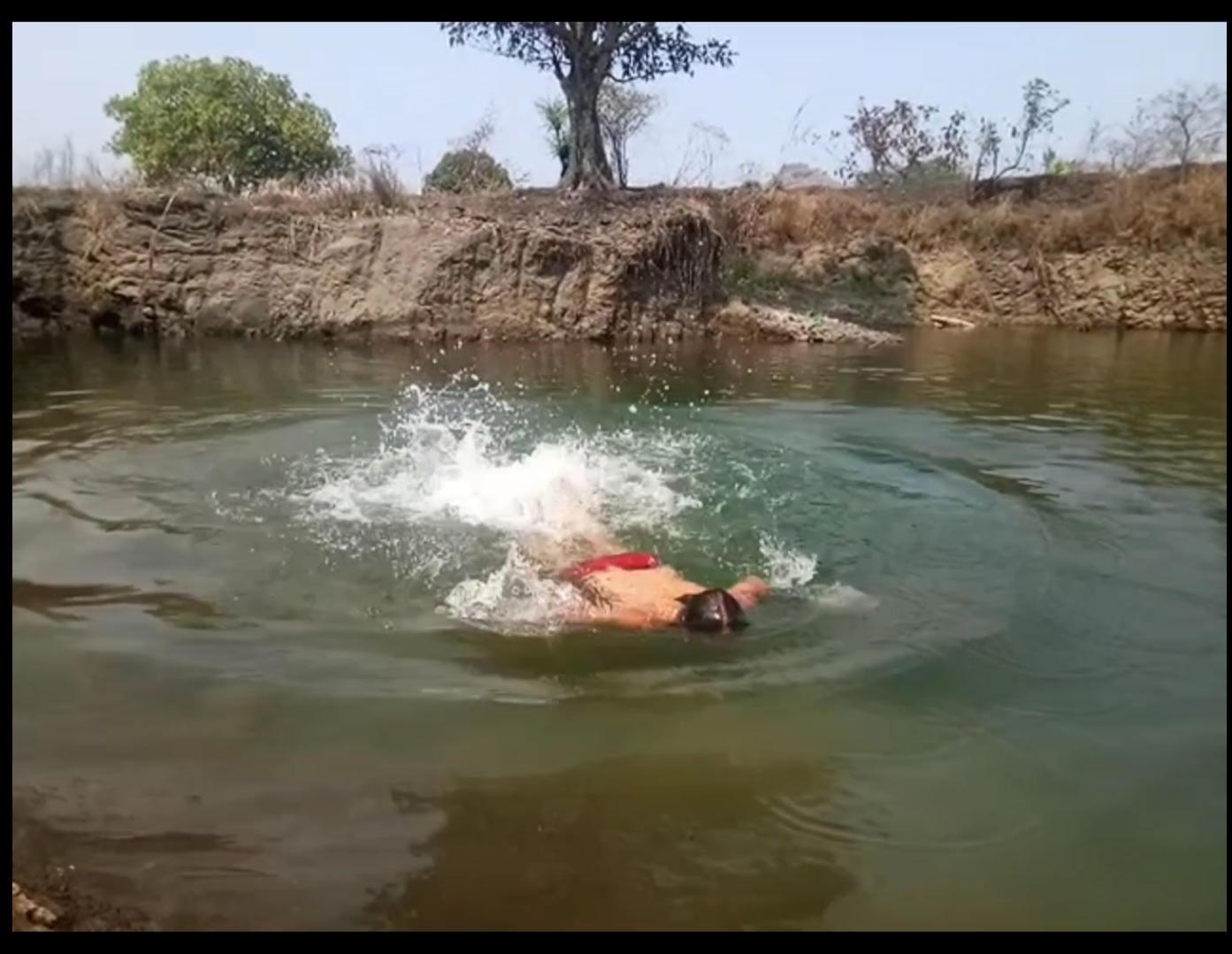
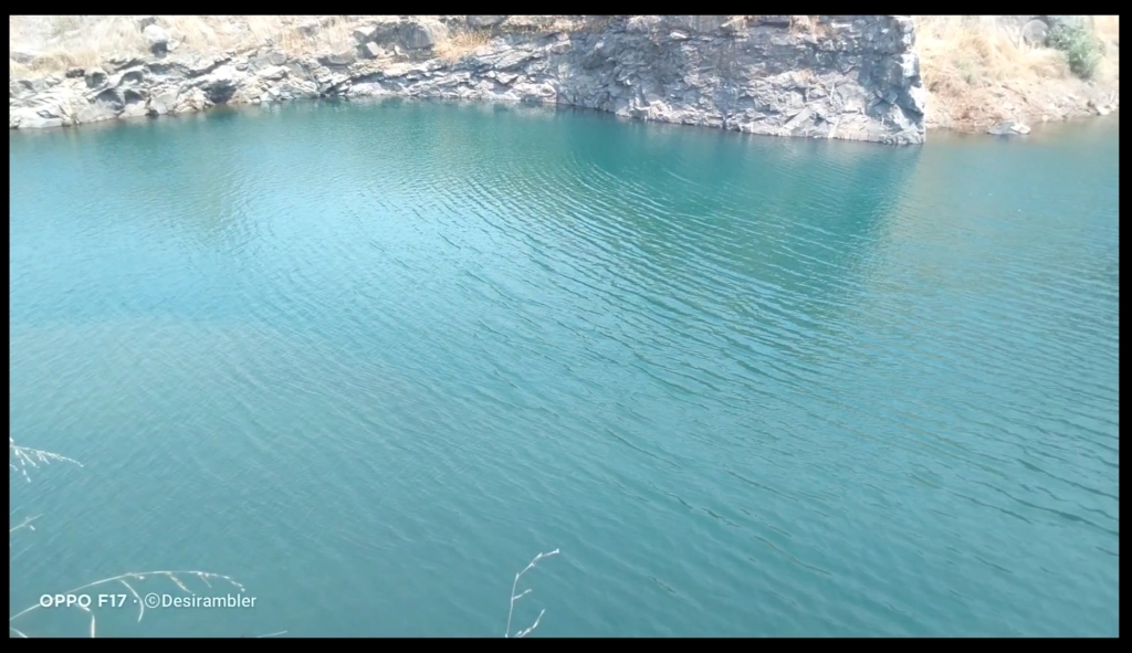
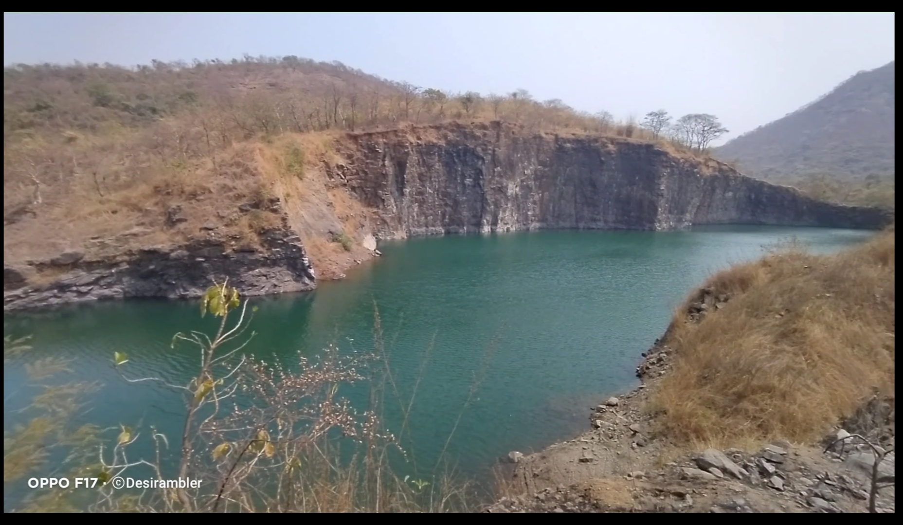
In between of the road we found a place which was amazing to watch and even to swim the best thing I do. It is the place where the rain water had been stored limitlessly.
To watch my full Experience video visiting Asawa fort click the given link below.

Thank you for reading My blog,

To support me Please like, comment, share and do follow my website.

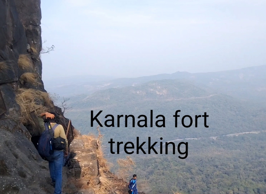
Karnala fort and Bird Scantuary (guide)

Click the link below for the full video of personal experience visiting Karnala Fort

Fort Info


  • Height:- 439m (1,440ft)
  • Place:- Panvel, Maharashtra, India
  • Open:- 6am to 6pm
  • Distance:- 59km from  Andheri, Mumbai
  • Difficulty:- easy

Overview


Karnala fort is for beginners with easy level of trek, not confusing at all no chances of getting lost, best place to visit with family and friends, you will find cleanliness all around with no plastics or any kind of garbage thrown, birds chearping on every corner and non polluted oxygen to breathe a good experience to achieve.

Karnala Fort

How to reach


If you stay in Mumbai or nearby Mumbai it is very easy to travel the fort, I travelled on my own bike distance of  59km from Andheri, Mumbai which took 2hrs of travel time in morning without traffic, public transport is also an option the nearest railway station to reach is Panvel station from there you can rent a Rickshaw for further journey till the fort, rates varies from season to season. No Airport is available the nearest airport is Mumbai International Airport which is 59km away from the fort, Local Cabs is the best option to reach fort.

Sharing some pics, when I visited Karnala fort

Climbing the stairs
Water tank
Inside the Fort
Inside the Fort 2
Steep way
View from the top
Pinnacle point
View from the top 2
Saffron Flag

Thing’s to Carry


Safety comes first don’t fill up Ur backpack so that it becomes difficult to climb specially when it comes to rocky patches always carry minimum amount of products like 2 liters of water, some non oily snacks (2 or 3 packets), Power bank if needed, First Aid like bandages and antiseptic liquid, Face towel etc. Don’t forget to wear Trekking shoes and lite clothes like shorts and sweat shirt which is the best option.

Rules and Regulations


If you are planning to travel beautiful and amazing places like This pls follow some basic rules. You have to submit some amount eg: INR 200 if you are carrying any kind of plastics, deposit will be returned if you show them that you didn’t throw your plastic wrappers by showing them again while you exit the gate.
  • Follow the rules
  • Don’t throw plastics or Garbage
  • Don’t write your names on the Historic or any place
  • Don’t harm Animals or Birds
  • Don’t drink or smoke
  • Assist other people if needed

Things to do


Bird watching is one of the best things to do, Karnala Bird  Scantuary is home for 222 birds species of which 161 are resident species, 46 are migrant species 3 species are breeding migrant 7 species are passage migrants and 5 species are vagrant.

Below are list of some Birds


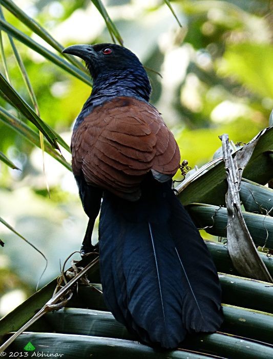
Greater Coucal
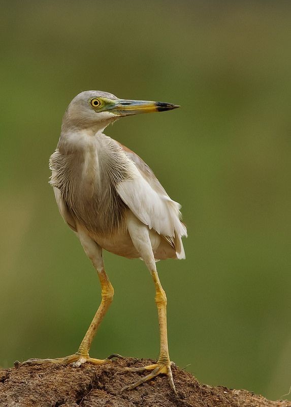
Indian Pond-Heron
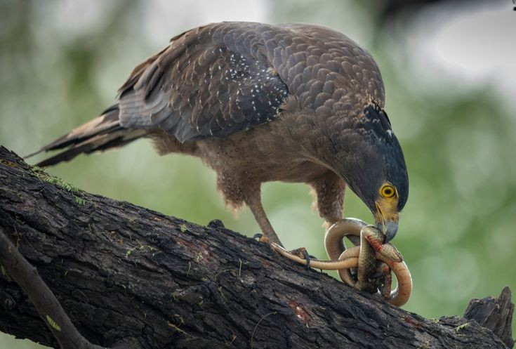
Crested Serpent-Eagle
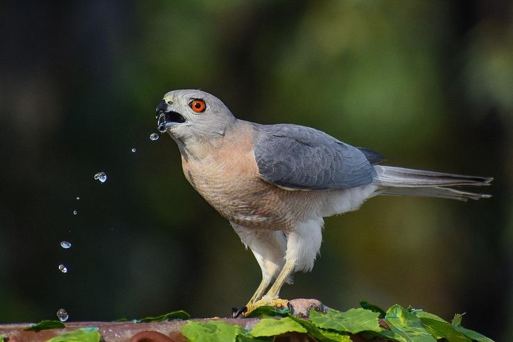
Shikra
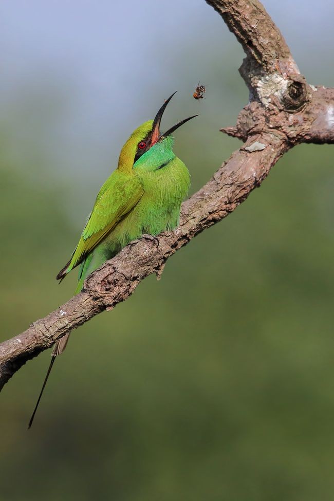
Green Bee-eater

Trekking till the top of fort is also a great idea, It is One day trip, I suggest you to Travel in  weekdays when the crowd is less, 2hrs of Trail not a difficult one easy steps, little tough in-between the rock climb, It is always very hard to trail through the forest because you will find there is no wind blowing by the trees, but as soon as the Forest trail ends you will feel endless amount of Air passing through you which will help you to Trek further, no water facility or stores on the way, so carry your own water bottles and snacks, you will get to know some interesting historical places and monuments inside the fort, Water tanks, secret door known as Chor darwaja, you will feel amaze when you reach at top, you can take breaks in between to drink water and eat but don’t throw any garbage, when you will reach at top there are very few places to roam not a big fort as compared to other fort’s in Maharashtra like Mahuli fort and Lohagad.

Click the link below for the full video of personal experience visiting Karnala Fort.

Thank you for reading, if you like my post please Like share comment and follow.

Also subscribe to my YouTube Channel “Desirambler

Mahuli trek with full guide

Below link is my trek video with full guide

Overview Fort:- Mahuli
Place:- Shahpur, Asangaon, Maharashtra, India
Elevation:- 2815ft above sea level
Trek mode:- moderate


Start I started my journey from Andheri, Mumbai at 6:15@m the estimated time to reach Shahpur was 2hrs without traffic, I invited my friend named Joshua for trek and he accepted my invitation, For a change we thaught for not spending extra money in petrol which could be used in our essential things like water and food we decided to move on Joshua’s bike which was KTM 390, We spend INR 400 on petrol (return trip), total distance to travel was 69km till Mahuli fort entrance.

Mahuli fort gate entrance

Essential things The essential things we took was 3liters of water for each person, some non oily snacks like baked wafers, peanuts etc, Face towel and med-kit which is important for any unfortunate incidences, Small knife and one Lighter, Power bank for our smart phones.

After Reaching We reached infront of Mahuli entrance gate at 8@m, then we decide to park the bike at safe place and regenerate our energy by having some breakfast and refreshing drink like tea, there was a narrow off road going towards one small farmhouse which was owned by two old partners  along with some workers, we parked our bike with their permission and entered their farmhouse for some thing to eat, we ordered Kanda Poha (Maharashtrian dish), and two cups of Tea.


Total cost:- Kandapoha:- INR 25 each
Tea:- INR 10 each
Parking:- INR 10

Which was much reasonable then 2star or 3star hotel.

Kanda Poha

Trek Begins After eating tasty 😋 breakfast we started our journey toward the fort at 8:30, 10min of walking and we found, the Ticket counter from where we had to buy entry ticket was closed for no reason, then we saw gate was open so we entered and carried our journey forward. After walking forward there was a bridge which was on the way from where two ways gets seperated one goes towards the Water fall and other towards the fort.

Bridge
Left (towards fort) & Right (towards waterfall)

Way towards fort begins with the rocky steps and green trees all around us, I found that we stepped the rocky stairs till we reached our first patch which we climbed in around 30min. It is said that “Ur beginning always hides Ur end first 30 mins of our climb which was exhausting beacause inside the jungle we found no air which can help us to climb the steps more faster, it was the time to take our first break.

Place we took our first break
Rocky steps

There were no steps further as there was no dense forests but we found a good news that we felt good amount not air blowing around which helped us to move faster, after climb and climb and climb finally we crossed first mountain but wait 2 more mountain’s to go so climb climb and climb it was time to take our second break, 2 liters of water was finished and 4 liters were still left with us we had some snacks for energy and moved on, but the view we saw was outstanding.

Pinnacle point’s
Second mountain
Big Black Rock

Now there was a time when steep way begins I recommend to wear safety shoes and don’t risk Ur life in doing silly things for just to click pictures, more 45 mins to go we recognised that after getting near the way is getting more steeper and riskier, one ladder was placed to climb but you will find that the ladder can only be used by one person at a time beacause the condition of the ladder was not that strong that it can hold more than single person weight. So planned to climb the ladder one by one with taking any risk of life.

Steap way
Rock climbing
Single ladder

More 15min to walk and then the Saffron coloured flag at Summit point, the 15 Min way was simple as imagined and the feeling of succes was magical.

At the Top

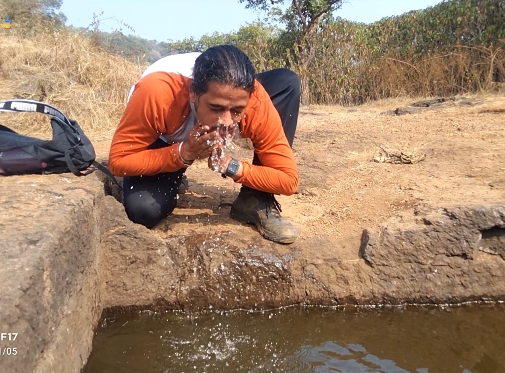
We reached at top in 2 hrs 10:30am with an average speed, then we decided to move toward the fort which was at the middle of mountain with out roaming inside the fort there was no use of climbing such big mountain way towards inside the fort was easy and straight we found one water tank in-between the way. But the water stored in it was stunted and full of bacterias and Insects beacause it was stored by rain water with no entry and exit for it, the only way to use this water was to wash the face and hands to Did it.

Water tank

After getting fresh we found a board which shows the way towards the fort after a small descendent, the fort thing I saw was the Statue of India’s greatest king of all time “CHHATRAPATI SHIVAJI MAHARAJ” with honour, there was another stream of water which was so clear and refreshing it was safe to drink because the flow of water was continues and the water didint smell at all there was a small cave like place which was perfectly designed for resting and having some thing to eat so we did not waster any time and took some rest by laying down inside the places which was cooler then outer temperature.

Board showing way towards fort
Inside view
Fresh stream of drinking water
Resting place
Idol of King
Shiva Ling Temple
Mahadarwaja (Big door)
From inside resting place

After taking a short nap there was time to leave this beautiful place with beautiful memories,

Want to watch video regarding this place click the below link which is based on my self experience from the Mahuli trek

Thank you for reading my content if u love my blog pls do Like, share, comment and follow

Lohagad “Iron Fort”


Overview

Lohagad “Iron fort” is one of the many hill fort of Maharashtra State. Situated  close to hill station Lonavla and 52km (32mi) northwest of Pune, Lohagad rises to an elevation of 1,033m (3,389ft) above sea level. The fort is connected to the neighbouring Visapur fort by a small range. The fort was under the Maratha Empire for the Majority of the time, with a short period of 5 years under the Mughal empire. Elevation:- 1,033m. Location:- Pune District, Maharashtra, India. Function:- Fortifications. Parent:- Western Ghats
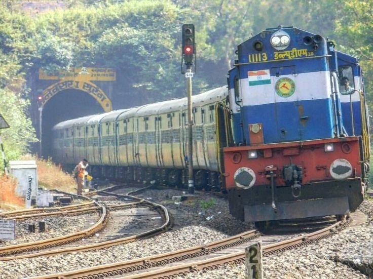
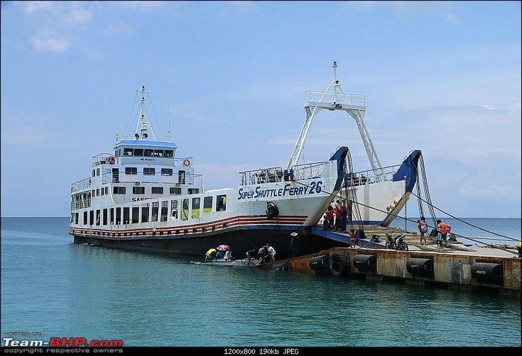
Trekking route

History
Lohagad has a long history with several dynasties occupying it at different periods of time Satavahanas, Chalukyas, Rashtrakutas, Yadavas, Bahamanis, Nizam’s, Mughals and Marathas. Chhatrapati Shivaji Maharaj captured it in 1648AD but he was forced to surrender it to the Mughals in 1655 AD by the Treaty of Purandar. Chhatrapati Shivaji Maharaj recaptured the fort in 1670 AD and used it for keeping his treasury. This fort was used to keep the loot from Surat. Later in Peshwa time Nana Phadnavis used this fort living for sometime and built several structures in the fort such as a big tank and a step-well. The lohagad fort also has caves on it’s south side facing Lohagadwadi.

Geography and Climate
Lohagad is part of the Western Ghats. It rises to an elevation of 1,033m (3,389ft) above sea level, and is located to the south-west of the Visapur fort. The range divides the basins of the Indrayani River and Pavana Lake. Lohagad overlooks the Pavana reservoirs, located to the south of the mountain. The hills extends to the North West to a fortified spur, called Vinchukada (scorpion’s tail) because to its resembling shape. The four large gates of Lohagad are still in good condition and reasonably intact. During the monsoon, the top of the fort is covered with mist and clouds and becomes particularly wet with growing moss. The roads and trails leading to the hill are quite slippery at this time of the year and precautions are necessary to be taken while venturing the routes.

Sunrise

Accessibility
Lohagad fort can be accessed by various modes of travel. The nearest airport is the Pune International Airport. The proposed Navi Mumbai International Airport will serve as the nearest airport in the coming future. The nearest train station is Malavli, which can be accessed by suburban trains between Lonavala and Pune. The nearest major train station is Lonavla, on the Mumbai-Pune railway line. Lohagad is connected by the Mumbai-Pune Highway and can also be accessed from Paid via Kolvan and Dudhiware Khind for all vehicles. People can hike all the way to the fort. Bhaja caves is on the way to Lohagad if a small diversion is taken. This walk is particular favourite for trekkers, especially in the monsoon season. It is a simple, very scenic and pleasant trek and the distance from Malavli and Lohagad can be covered in around 2 hrs. A tar road exists all the way to the Top from Malavli station and one can hire a tempo or cap to the top. The best season to visit is monsoons it is absolutely safe and many vendors selling onion fritters and lemonade are present by the roadside. One can also cut across the hills as well.The fort has around 350 steps from the base, and it is not advisable to take a personal car as the road is single lane, sleep & very Bad. Variety of Insects can also be spotted in these hills.


Nearby attractions

  • Bhaja caves – 2km (1.2mi) from Malavli, once home to Buddhist monks.
  • Karla Caves
  • Lonavla 20km (12mi), famous and scenic hill station.
  • Aamby Valley City – 22km (14mi) from Lonavala.
  • Visapur

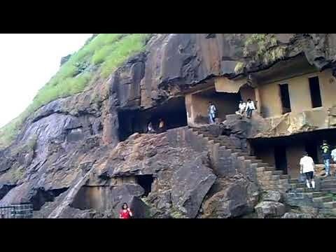
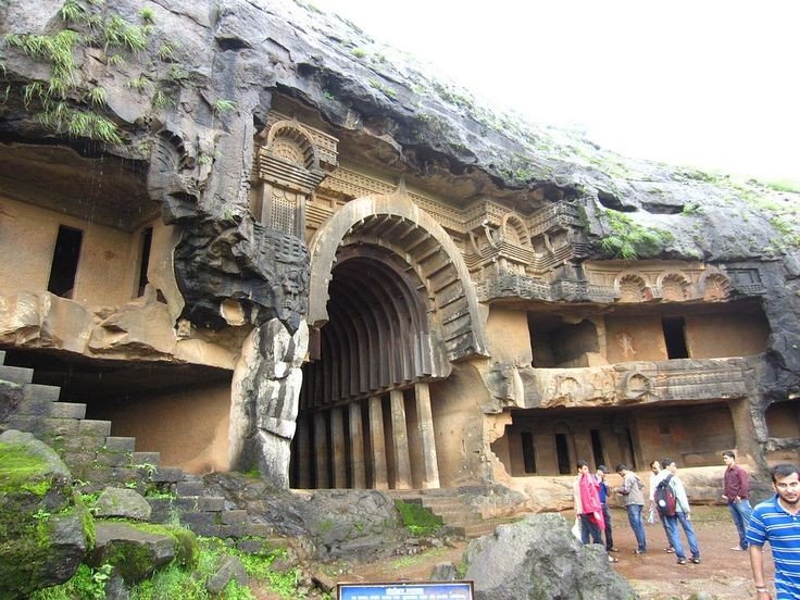
Bhaja caves
It is a group of 22 rock cut caves dating back to the 2nd century BC located in the city of Pune, India. The caves are 400 feet above the village of Bhaja, on an important ancient trade route running from the Arebian sea eastward into the Deccan plateau (the division between North India and South India). The inscription and the cave temple is protected as a Monument of National importance, by the Archaeological Survey of India per Notification no 2407-A.

Bhaja Caves

Karla Caves
It is complex of ancient Buddhist Indian rock-cut caves at Karli near Lonavla, Maharashtra. It is just 10.9 kilometers away from Lonavala. Other caves in the area are Bhaja Caves, Patan Buddhist cave, Bedse caves and Nashik caves. The shrines were developed over the period from the 2nd century BCE to the 5th century CE. The oldest of the cave shrines is believed to date back to 160 BCE. having arisen near a major ancient trade route, running eastward from the Arabian into the Deccan.

Karla Caves

Lonavala
Refer to Lonavla blog in my explore menu.

Aamby Valley City
It is a township developed by the Sahara India Pariwar in Pune District in the Indian state of Maharashtra. It is about 23km (14mi) from Lonavala, 87km (54mi) from the city of Pune and 120km (75mi) from the city Mumbai. The township is connected by road of Mahabaleshwer. City is spread over 10,600 acres (4300ha) of hilly terrain. 3 large Man made lakes have been created by constructing dams. The largest lake is 1.5km in length, it also boasts of a PGA 18 hole golf course. This city was so designed and master planned by Gruen-Bobby Mukherji and Associates in the year 2003.

Aamby Valley City

Visapur Fort
It is at a Higher altitudes than Lohagad fort, water tanks, old houses, arch, waterfalls, temples are on the Sahyadri Fort. There are two buildings which are Roofless now, are government offices from the past. A stone built home at Visapur fort called Peshwas Wada popularly. Lord Hanuman carving seen the fort, there are many temples dedicated to him at the fort. Visapur is an ideal trekking destination near Mumbai, Pune, Lonavla.

Visapur fort

Below are the Clicked images at the top of the Fort with details

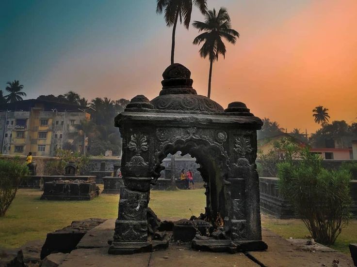
Shiva Temple built from black rock one of the toughest rocks in the world.

A statue of Lord Hanuman sculpted in between in the water tank

Sculpted rock as Shiv Ling built in between the walking path.

Broken bridge, people used to travel from one end to another from above the stored water.

Cannon which been used by Great Marathas during wars, Weighing Almost more than a one ton approx.

Roller not in a normal size as compared to household one

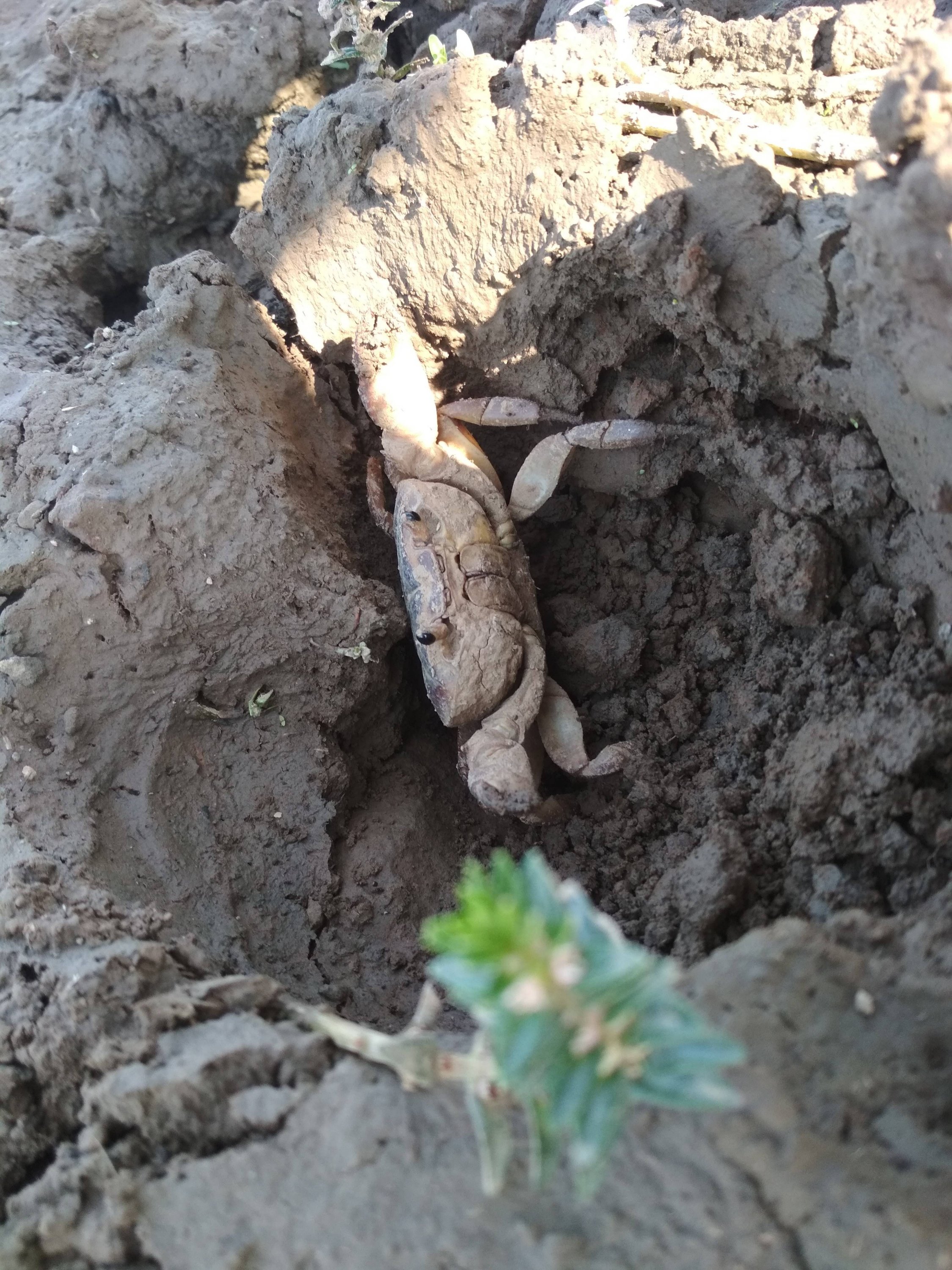
Mud crab specially found inside the Fort territory still exists.

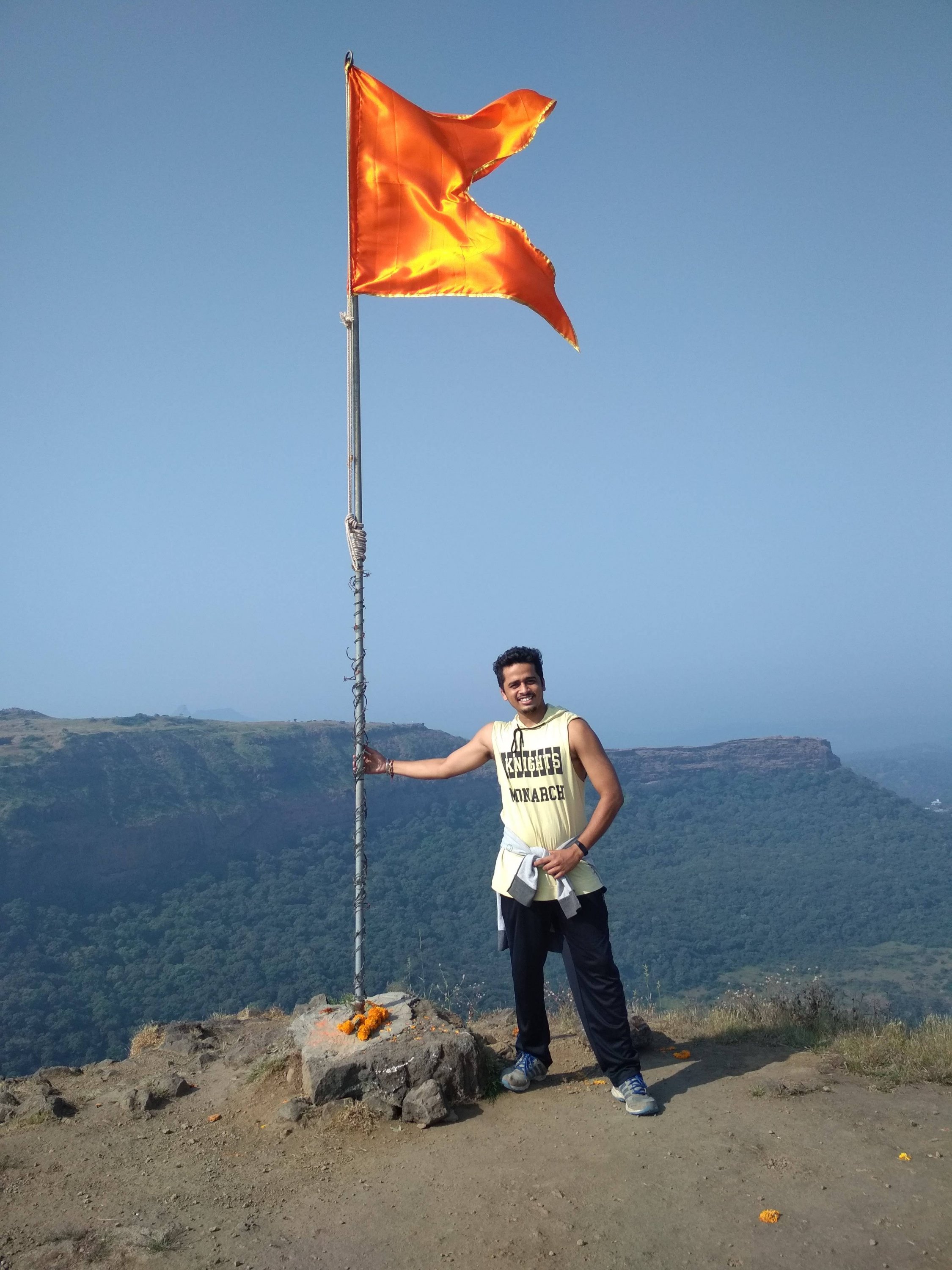
Highest point at the Fort, holding the saffron colour flag, which is dedicated to GREAT MARATHA WARRIORS.

Thanks for watching and reading if you like my blog please Like share comment and follow for more Content like this.

MAHABALESHWER

Overview


MAHABALESHWER is a small town and a municipal council in Data district in the Indian state of Maharashtra. It is a place of pilgrimage for Hindus because the Krishna river has its origin here. The British colonial rulers developed the town as a hill station and served as the summer Capital of Bombay Presidency during the British Raj.

  • Elevation:- 1,353m (4439ft)
  • Area:- 137.2km sq
  • Sex ratio:- 90 females/ 100males
  • District:- Satara
  • Population:- 12,737 (2011)

Geography


Mahabaleshwer is located at 17.9237°N 73.6586°E. It has an elevation of 1,353 meters (4439ft). Located about 120km (75mi) southwest of Pune and 285km (177mi) from Mumbai, Mahabaleshwer is a vast plateau measuring 150km (58sqmi) bound by valleys on all sides. It reaches a height of 1,439m (4,721ft) at its heighest peak above sea level, known as Wilson/Sunrise point. Mahabaleshwer comprises three villages : Malcolm peth, Old “Kshetra” Mahabaleshwer and part of the Sindhola village. Mahabaleshwer is the source of Krishna River that flows across Maharashtra, Karnataka, Telangana, and Andhra Pradesh. The legendary source of the river is a spout from the mouth of a statue of a cow in the ancient Temple of Mahadev in Old Mahabaleshwer.

History


On the outskirts of Mahabaleshwer, towards Panchgani. The first historical mention of Mahabaleshwer dates back to year 1215 when the King Singhan of Deogiri visited Old Mahabaleshwer. He built a small temple and water tank at the source of Krishna river. Around 1350 a Brahmin dynasty ruled this area. In the middle of the 16th century the Maratha Family of Chandarao More defeated the Brahmin dynasty and became rulers of Javli and Mahabaleshwer, during which Old Mahabaleshwer temple was rebuilt.

In 1656, the founder of Maratha empire Chhatrapati Shivaji Maharaj under controversial circumstances, killed Chandrarao More, a fellow Maratha feudatory of Bijapur, and seized the valley of Javali, near Mahabaleshwer, from him. Around that time Chhatrapati Shivaji Maharaj also built a fort near Mahabaleshwer called PratapGad. The fort remains in the hands of Shivaji’s Descendants to this day.

Transport

By Road:- Mahabaleshwer is 32km from Wai. It is 260km from Mumbai, the state capital. The nearest major city in Satara is 45km and it is 120km from Pune. Mahabaleshwer is connected by the National Highway 4. Bus services by State-run MSRTC and Private organizations connect it to Pune, Mumbai, Sangli and Satara.

Rail

Nearest railroad is Satara 60km, nearby major railway junctions include Pune (120km), and Niraj (170km). State run bus services are available in these locations to Mahabaleshwer. Railway station Diwan Kharvati on Konkan Railway near Khed gives route of 60km via Poladpur to Mahabaleshwer.

Airway

The nearest Airport is Pune international Airport, serving the city of Pune, 120km from Mahabaleshwer.

Sunset at Mahabaleshwer
Lake near Mahabaleshwer

Places to visit

  1. Mahabaleshwer Temple:- Panchaganga temple in Old Mahabaleshwer 1850s. In old Mahabaleshwer 7km from Mahabaleshwer there are many tourists point and 5 temples to see, with examples of old Indian Architecture. There are also natural view points, some of them named by the 19th century British colonial rulers.
  2. Krishnabai temple:- Behind Panchaganga temple, there is a small trail that leads to Krishna Bai temple where the Krishna river is worshipped. It is built on the hilltop overlooking the Krishna valley and was built in 1888 by a ruler of Ratnagiri on the Konkan coast. The temple has a Shiva Lingam and a beautiful statue of Krishna. A small stream of the river flowing from the cow-face (Gomukh) falls on a Kinda or water tank. Stone carved columns and ceilings are the special characteristics of this Temple. This old temple has gathered moss and is in ruins. It is not visited much by tourists and is isolated. But it provides a most exquisite view of the river Krishna.
  3. Monkey Point:- Named because of the natural sculpture of the stones which looks like three Monkeys sitting beside each other and portraying 3 monkeys of Gandhiji. Nestled deep in the Valley one can figure out from the outline of a big stone a natural cut out it give an effect of 3 Monkey sitting next to each other portraying the Three Wise Monkeys. They point is on route to Arthur’s Seat.
  4. Arthur Lake:- This geographical point is named after Officer Sir Arthur Market (1806-1888) who frequented the spot to gaze at the Savitri River, where he lost his wife and children in a tragic ferry mishap.
  5. Vienna Lake:- Mahabaleshwer is Holiday place, Honeymoon spot and a pilgrimage site for people. Boats on the Venna lake in Mahabaleshwer. The Venna lake is one of the tourist attractions of Mahabaleshwer. The lake is surrounded by trees. There are Hotels from budget hotels to 3 star. Some Hotels are also near Lakes view or in the market.
  6. Kate Point:- It is located to the east of Mahabaleshwer and is famous for its view of two reservoirs, balakwadi and Dhom. The point is around 1280m high.
  7. Needle Holepoint/ Elephant point:- Needle hole point is located near Kate’s point. One can see a natural rock formation with a hole in between, thus given the name Needle hole. The point is also famous for the view of Deccan traps, which look like an elephant’s trunk.
  8. Wilson point:- Named after Sir Leslie Wilson, the Governor of Bombay from 1923 to 1926. Wilson Point is the highest point in Mahabaleshwer at 1439m. Known as Sindola Hill during the colonial rule, Wilson point is the only location in Mahabaleshwer where both sunrise and sunset can be seen. It offers a spectacular glance of Mahabaleshwer in all directions. It is located behind the Mahabaleshwer-Medha road at 1.5km from Mahabaleshwer city.
  9. PratapGad:- it is a fort near Mahabaleshwer built by Chhatrapati Shivaji Maharaj. It is the site of the encounter between Shivaji and Bijapur general. Afzal khan where the latter was defeated and killed by Chhatrapati Shivaji Maharaj.
  10. Lingmala waterfall:- This waterfalls is located near Mahabaleshwer. The water here falls from the height of approximately 600 feet. The water of Lingamala waterfalls cascades into the Venna Lake. The waterfalls are divided by outward projecting rocks into multiples tiers.
KRISHNABAI temple
PratapGad fort
Lingmala waterfall
Elephant point
Monkey point
Strawberry

Also famous for the berry Climate of the area is suitable for cultivation of strawberries, this place contributes to about 85% of the total production in the country. It also received the geographical indicator tag in 2010 Strawberry is personally my favourite fruit.

If you like my blog please like comment share and Follow

Kalsubai “Everest of Maharashtra”

Introduction

Kalsubai is a mountain in the Western Ghats, located in the Indian State of Maharashtra. It’s summit, situated at an elevation of 1,646 meters (5400 ft), is the highest point in Maharashtra. The mountain range lies within the Kalsubai Harishchandragad Wildlife Sanctuary. It is visited throughout the year by avid trekkers, Kalsubai temple devotee’s and Wildlife enthusiasts alike.

  • Elevation : 1,646m
  • Mountain range : Western Ghats
  • Age of rock : Cenozoic
  • Easiest route : Hiking
  • Type of salt : Basalt, Laterite
Kalsubai mountain

Geography and topography

Kalsubai peak in western ghats to the north of the Bhandardara backwaters (as seen from 20000 ft), the peak along with the adjoining hills spans along a downroad-slanting east to the west axis eventually merging with formidable escarpment of the Western Ghats at almost right angles. Along its length, they form a natural boundary demarcating the Igatpuri Taluka, Nashik district at its north from the Akola Taluka, Ahmednagar district as it’s south. The mountain itself lies on the Deccan Plateau, with its base at an elevation of 587 meters (1926 ft) above mean sea level. The mountain along with adjoining hills forms an enormous catchment area for the Arthur Lake which it overlooks.

How to Reach

The mountain can be viewed in its entirety from Bari village located on its Eastern side, about 6km/ 3.7 mi from Bhandardara. It can be reached by road, via Igatpuri on the Mumbai-Nasik route. Trains leaving from Mumbai provide an alternate mode of transport to kasara railway station, with connecting State Transport buses, plying on the Akole-kasara route, leading up to the base village. Private vehicles from Kasara provide yet another alternative to public transport.

Igatpuri view

Trekking

Kalsubai is 6.6 km (4.1mile) long trek with elevation gain of around 2,700 feet (820). This is a one day trek having a moderately hard difficulty level, with lush green landscapes and multiple waterfalls, the peak attracts many trekkers and devotee’s determined to scale the mountain. To reach the summit there are well-designated trekking routes. The most popular route through the eastern mountain face taking off from the base village Bari. The Wali river, a tributary of pravara, takes origin on its Eastern slope and flows like a stream through the outer fringes of Bari, a short distance away from the stream a Hanuman temple has been built. This provides an important Landmark to commence the trek as well as a resting post for those nearing the final lap of their trek.

Group of trekkers and their ⛺ tent’s

The route via Indore is relatively unexplored as not many people are aware of it. Unlike the regular route via Bari, which has fixed ladders, cemented steps and several people flocking during the monsoon, the route via Indore is raw with stone steps and a huge iron chain for support at the dangerous patches.

Kalsubai Temple

A traditional prayer service is held every Tuesday and Thursday by a priest, during the festival of Navratri a fair comes to be organized each year with many stalls being set up near the summit to provide Pooja materials to the devotee’s. On these special occasions, a local villagers participate in this fair which helps to supplement their livelihood and as well as provides them an opportunity to revere the mountain.

Kalsubai Temple
View from Kalsubai Temple
Inside of Temple

Ecology

Kalsubai comes to be protected under the precincts of a sanctuary. It nurtures nature in the vast stretches of forests nestled along their slopes and valleys. Open high altitude forests dominate the scene. In the post monsoon period, the region witnesses a dramatic makeover with flowers of different colours and varieties blossoming along the landscape. This attracts a hoard of butterflies, bees, dragon flies, and other insects to feed upon the precious nectar. During winter morning reptiles like snakes, lizard could be spotted sun bathing near the ladders.

Dragon fly

Places of Interest

  • Bhandardara dam
  • Pravara river
  • Arthur Lake
  • Ramsej fort
  • Harihargad
  • Brahmagiri
  • Anjaneri
  • Ghargad
  • Bhula
  • Tringalwadi
  • Kavnai

Bhandardara dam located 6km away, impounds the Pravara river to form the Arthur Lake.

Arthur Lake the clear and placid lake is bounded by thick canopied forests of the Sahyadri hills. The lake gets its water from the Pravara River. It also attracts one’s attention from the summit.

Umbrella falls are formed as water from the Arthur Lake is released periodically to drain downstream.

To the north of the mountain range forts such as Ramsej, Harihargad, Brahmagiri, Anjaneri, Ghargad, Bahula, Tringalwadi, Kavnai can be seen. To the east one can spot Aundha, Vishramgad, Bitangad to the west Along, Madangad, kulang, Ratangad, and to the south Pabhargad, Ghanchakkar, Harishchandragad can be seen.

This is not end yet enjoy the mind-blowing pictures of Kalsubai.

Alibaug built for Tourism

View of Lake and Sea

Introduction:- Alibag, also known as Alibaug, is a coastal town, just south of Mumbai, in western India. It’s known for its beaches like Alibag Beach and Varsoli Beach. Just offshore, 17th-century Kolaba Fort has carvings of tigers and elephants, and temples dedicated to Hindu gods, famous for its mouth watering Konkani delicacies.

Info:- Country-India
State-Maharashtra
District-Raigad
Elevation-0 m (0 ft)
Population (2011)-Total-20,743
Languages• Official Marathi

History:- Alibag and its surrounding villages are the historic hinterlands of Bene Israeli Jews. There is a synagogue in the “Israel Ali” (Marathi इस्राएल आळी meaning Israel lane) area of the town. A Bene Israelite named Ali used to live there at that time. He was a rich man and owned many plantations of mangoes and coconuts in his gardens. Hence the locals used to call the place “Alichi Bagh”(Marathi for “Ali’s Garden”), or simply “Alibag”.

Transport:- You can travel through 3 ways which are given below.

1. Road way:- This is the way to people who loves Road trip as it is long way from Mumbai, almost 100km via NH 66 3 hrs depending on your Vehicle speed and how many halt you take, most difficult way as compare to other way because the road goes through dense forest, big hilly mountain, Trible places and complete darkness you need an experienced driver or rider, the best time to travel is to leave at morning 5@m with fresh mood, morning light and less traffic.

Somewhere in Alibaug

2. Train:- Visited only once by train with good experience in less than 3 hrs, Alibaug don’t have any dedicated Railway station, nearest Railway station is Panvel 36km from Alibaug and Pen 28Km you can decide where you have to halt for further journey, after departing from train you will get Bus till Alibaug.

Konkan Railway

3. By Boat:- One of the easiest way to travel with, required to change boat at Mandwa in 30 min from Churchgate and after that 45 min of travel from Mandwa to Alibaug, also enjoying ocean views and boat experience, daily service offering for Alibaug.

Travel boat

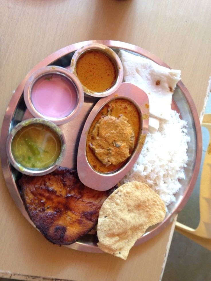
Cuisines (Food):- You will enjoy Variety of cuisines like Konkani, Indo chinese etc. Tourist visit this place especially for Fish foods like fish fry, fish curry.

Bombay Duck

No need to search for place to eat, each corner of streets is full of restaurant.

Full meal platter

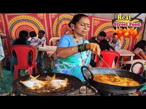
Full meal platter will cost you around INR350 To INR500 depending restaurant to restaurant. Many good stalls are also run by local people near the beaches which are more attractive by looking at their dishes and cost as well.

Local stall near Beach

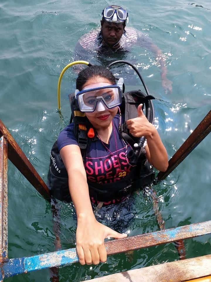
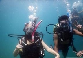
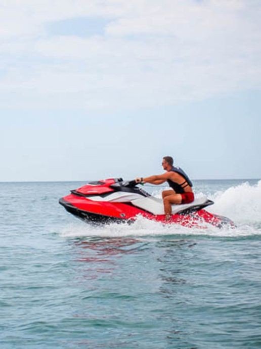
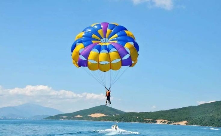
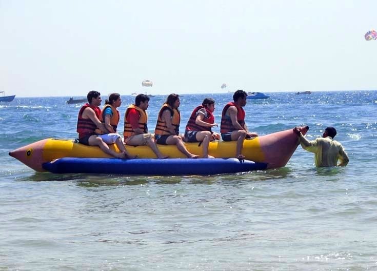
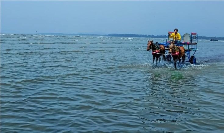
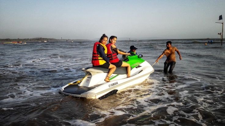
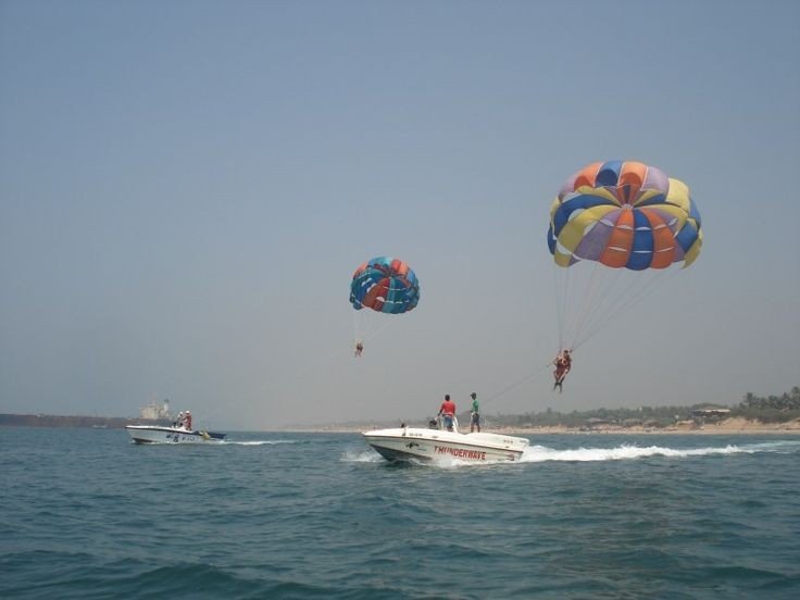
Tourism:- Alibaug is specially known for its Tourism like beaches, Water rides, Jetskies, water Paragliding, Scuba diving, beach horse riding, Forts etc.

Below are few pictures of Alibaug tourism

If you are planning to travel here specially for Tourism and enjoying each and every ride you will need lumpsump Amt of money depending on with how many people do you travel and which Hotel you stay, no need to worry for booking hotels by call now a days many Apps are designed for easy booking in affordable price.

List of beach in Alibaug

  • Alibaug beach
  • Nagaon beach
  • Kashid beach
  • Murud beach
  • Rewas beach
  • Kasim beach
  • Varsoli beach
  • Korlai beach
  • Mandwa beach
  • Akshi beach

Below are Top 5 beaches ( Information and pics)

Alibaug beach:- The Beach on the name of Alibaug coast, this beach is one of the most popular beaches with the sight of Coloba fort providing the perfect view the bastion was also the sight of the Headquarters of The Maratha Army, while here you can visit the Ganpati temple, which is almost 400 years old.

Colaba Fort
God Ganesh

Kashid beach:- A beach town located along the stores of the Arebian sea, it is located in the Northern Konkan region of Maharashtra, 30km long from Alibaug beautiful symphony of colours, the blue waters the lush green fields, white sands and merry silver rivulets are all the blessings you can enjoy when you visit the beach.

Sunset ☀️ view

Nagaon beach:- One of the best beach which I like the most with my personal experience because this beach is the cleanest beach ever I saw and uncluttered sands and surf’s, this beach is also famous for various water sports a walk through the coconut and betel nut plantations will surely refresh you to no end and provide that perfect respite from hustle and bustle of everyday life.

Water Paragliding
Betel nut pack
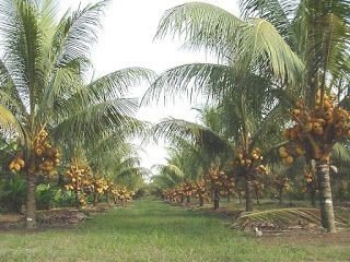
Coconut Plantation

Mandwa beach:- This beach is famous for its weekends gateway destinations around Mumbai due to its ferry service between Gateway of India and Mandwa, There are also many various tiny farms and sprawling plantations of Banana, Mangoes and Coconut. It is also got more popularity when the place has been mentioned in Bollywood film Agnipath.

Coconut 🥥 Plantations
Banana 🍌 plantations
Mandwa beach (old pic)

Murud beach:- A beautiful vantage point to the unconquered fort to Murud-Zanjira, the beach is a serene and peaceful retreat located along the coast of Rajapuri, A number of hotels, resorts and homestay dot the area around Murud that is peaceful to the extent of seeming unpopulated.

Murud beach

Below are the epic pics of Alibaug

Hope you like my blog, Thanks for watching for more blogs on explore kindly visit my blog menu.

Like, comment, share and follow for further notification.

Mumbai MERI Jaan

Bombay now changed to Mumbai, is specially known as a financial capital of India also ranked 12th for richest cities in world, it contains the wealth of $960 billion according to a report by new World Health organisation,

South Mumbai

Named from:- Mumbadevi

Official Language:- Marathi

State:- Maharashtra. Country:- India

Area:- 603.4km.                                        

Population:- 1.84 crores

District:- Mumbai city/ Mumbai Suburban


Following are the Images of old Bombay

Gate way off India
Old Dadar railway station
Right corner CST railway station and right corner Mumbai High court
Chor bazaar

Places of attraction with images

1. Gate way of India:- The Gateway of India is an arch-monument built in the early twentieth century in the city of Mumbai, in the Indian state of Maharashtra. It was erected to commemorate the landing in December 1911 at Apollo Bunder, Mumbai of King-Emperor George V and Queen-Empress Mary, the first British monarch to visit India.

2. Elephanta caves:- Elephanta Caves are a UNESCO World Heritage Site and a collection of cave temples predominantly dedicated to the Hindu god Shiva. They are on Elephanta Island, or Gharapuri, in Mumbai Harbour, 10 kilometres east of Mumbai in the Indian state of Mahārāshtra

3. Chhatrapati Shivaji Maharaj Terminus:- Chhatrapati Shivaji Terminus, also known by its former name Victoria Terminus, is a historic terminal train station and UNESCO World Heritage Site in Mumbai, Maharashtra, India. The terminus was designed by British born architectural engineer Frederick William Stevens, in an exuberant Italian Gothic style

4. Juhu beach:- Juhu is popular for lively Juhu Chowpatty Beach, a long stretch where casual cricket matches are played, and beach vendors offer snacks like bhel puri and ice cream. Nearby, chic bars serve everything from local beer to cocktails, while the white marble ISKCON temple serves up vegetarian fare and baked goods. Contemporary and experimental plays take the stage at Prithvi Theatre

5. Sanjay Gandhi National Park:- Sanjay Gandhi National Park is a 87 km² protected area in Mumbai, Maharashtra State in India. It was established in 1996 with headquarters at Borivali. It is notable as one of the major national parks existing within a metropolis limit and is one of the most visited parks in the world

6. Redcarpet wax museum:- The array of wax statues displayed at The Red Carpet wax Museum is a one of its kind and stature here in India or be it Mumbai

Father of nation Mahatma Gandhi ji

7. Haji Ali Dargah:- The Haji Ali Dargah is a mosque and dargah or the monument of Pir Haji Ali Shah Bukhari located on an islet off the coast of Worli in the southern part of Mumbai. Pir Haji Ali Shah Bukhari was a Sufi saint and a wealthy merchant from Uzbekistan

Bridge towards Dargah in middle of the Arebian sea

8. Siddhi Vinayak Temple:- The Shree Siddhivinayak Ganapati Mandir is a Hindu temple dedicated to Lord Shri Ganesh. It is located in Prabhadevi, Mumbai, Maharashtra, India. It was originally built by Laxman Vithu and Deubai Patil on 19 November 1801. It is one of the richest temples in India

God Ganesha in one of his many avatar

Community:- There are various community who leaves happily in Mumbai, people around the country decides to come here and make their dream come true,

Communities like

1. Marathi

2. Gujarati

3. Punjabi

4. Parsi

5. Christians

6. Islamic etc.

and many more to be counted, inshort whole India has came to get settled in Mumbai because there are lots of opportunities.

Expence

One of the expensive City in India, also known for its expensiveness in matter of food, land, travel, goods, services and entertainment.                      

Buying an Apartment is a big challenge in here, there are very rare citizens like celebrities, business tycoons who leave in bungalows.

Public transport is one of the best mean of transport in Mumbai, which helps the citizens to save money.

Major Public transports like

1. BEST Bus:-  In 1947, the BEST became an undertaking of the Municipal Corporation and rebranded itself to Bombay Electric Supply & Transport (BEST). In 1995 the organisation was renamed to “Brihanmumbai Electric Supply & Transport (BEST)” alongside Mumbai .

Single deckar bus
Double dekar bus

2. Mumbai Local train:- The Mumbai Suburban Railway consists of exclusive inner suburban railway lines augmented by commuter rail on main lines serving outlying suburbs to serve the Mumbai Metropolitan Region. Spread over 390 kilometres, the suburban railway operates 2,342 train services and carries more than 7.5 million commuters daily.

Local trains on their tracks
Inside view of train
Local train halt at station

Cities delicacies

Also known for its variety of foods of different religions, here you can find each and every types of cuisines like Indian, chinese, Italian, arebian etc.

1) One of the famous and most eated fast food is Vada Pav, also known as Indian burger.

Vada pav 😋😋😋😋😋

2) Masala dosa arrived from south Indian states as also famous street food

Two dosa with separate masala and two dip called as chatni and sambhar

3) Pav Bhaji one of the most popular dish, it’s an platter dish with butter and cheese 🧀 are loaded in it, Check it out

Pav Bhaji

Big shots (celebrities and their houses)

1. Balasaheb Thackeray:- Bal Keshav Thackeray was an Indian politician who founded the Shiv Sena, a right-wing pro-Marathi and Hindu nationalist party active mainly in the state of Maharashtra.

Residence at Dadar

2. Mukesh Ambani:- Mukesh Dhirubhai Ambani is an Indian billionaire business magnate, and the chairman, managing director, and largest shareholder of Reliance Industries Ltd., a Fortune Global 500 company and India’s most valuable company by market value

Antilia

3. Shah Rukh Khan:- Shah Rukh Khan, also known by the initialism SRK, is an Indian actor, film producer, and television personality. Referred to in the media as the “Baadshah of Bollywood”, “King of Bollywood” and “King Khan”, he has appeared in more than 80 Hindi films, and earned numerous accolades, including 14 Filmfare Awards

Mannat

4. Amitabh Bachchan:- Amitabh Bachchan is an Indian film actor, film producer, television host, occasional playback singer and former politician. He first gained popularity in the early 1970s for films such as Zanjeer, Deewaar and Sholay, and was dubbed India’s “angry young man” for his on-screen roles in Hindi films.

Juhu House

Popular Infrastructures

1. Bandra Worli Sea link:- The Bandra–Worli Sea Link (officially known as Rajiv Gandhi Sea Link) is a bridge that links Bandra in the Western Suburbs of Mumbai with Worli in South Mumbai. It is a cable-stayed bridge with pre-stressed concrete-steel viaducts on either side. It is a part of the proposed Western Freeway that will link the Western Suburbs to Nariman Point in Mumbai’s main business district.

2. Mumbai Metro:- The Mumbai Metro is a rapid transit system serving the city of Mumbai, Maharashtra, and the wider metropolitan region. The system is designed to reduce traffic congestion in the city, and supplement the overcrowded Mumbai Suburban Railway network.

Metro Trains on Track

3. Chhatrapati Shivaji Maharaj International Airport:- Chhatrapati Shivaji Maharaj International Airport, Mumbai (IATABOMICAOVABB), formerly known as Sahar International Airport, is the primary international airport serving the Mumbai Metropolitan Area, India. It is the second busiest airport in the country in terms of total and international passenger traffic after Delhi, and was the 14th busiest airport in Asia and 28th busiest airport in the world by passenger traffic in calendar year 2017.

Terminal 2

Bollywood Industry:- Hindi cinema, often known as Bollywood and formerly as Bombay cinema, is the Indian Hindi-language film industry based in Mumbai. The term is a portmanteau of “Bombay” and “Hollywood”.

Here are the list of Top Actors and Actress of Bollywood from past to present

1. Raj Kapoor

Raj Kapoor

Raj Kapoor was an Indian film actor, producer and director of Indian cinema. He is regarded as one of the greatest and most influential actors and filmmakers in the history of Hindi cinema. He received multiple accolades, including three National Film Awards and 11 Filmfare Awards in India

2. Nargis Dutt

Nargis Dutt

Such a beauty one of my favourite actress from 60s, Nargis Dutt was an Indian film actress, who starred in classic films of Bollywood. Regarded as one of the greatest actresses in the history of Hindi cinema, she made her screen debut in a minor role at the age of 5 with Talash-E-Haq, but her acting career actually began with the film Tamanna.

3. Dev anand

Dev anand

Dharamdev Pishorimal Anand, better known as Dev Anand, was an Indian film actor, writer, director and producer known for his work in Hindi cinema, through a career that spanned over six decades. He is considered as one of the greatest and most successful actors in the Indian film industry.

4. Sharmila Tagore

Sharmila Tagore

Sharmila Tagore, also known by her married name Ayesha Begum, is a former Indian film actress, known for her works in Hindi cinema as well as in Bengali films.

5. Nana Patekar

Nana Patekar

Vishwanath Patekar, better known as Nana Patekar, is an Indian film actor and writer, philanthropist and filmmaker, mainly working in Hindi and Marathi cinema. He is best known for his role in the film Agni Sakshi written by Ranbir Pushp for which he won the National Film Award for Best Supporting Actor.

6. Smita Patil

Smita Patil

Smita Patil was an Indian actress of film, television and theatre. Regarded among the finest stage and film actresses of her times and one of the greatest film actresses of all time, Patil appeared in over 80 Hindi, Marathi, Gujarati, Malayalam and Kannada films in a career that spanned just over a decade.

World Rankings

1. Population:- According to the United Nations, as of 2018, Mumbai is the most populous city in the country and the seventh-most populous city in the world with a population of roughly 20 million.

2. Gross Domestic product:- Mumbai ranked 17th, among the world’s top 30 cities. Mumbai features in the top 20 cities of the world on the basis of gross domestic product (GDP), said a survey by real estate consultancy Jones Lang LaSalle (JLL). Mumbai ranked 17th

3. Police Ranking:- Mumbai Police ranks 3rd in India after Delhi police at 1st and Kerala Police at 2nd best in terms of staffing, infrastructure and use of budget, Mumbai police has solved most cases ever filed in the country, which makes them no 1 in most efficient police.

Meri Jaan

A Small Village called Munge

Railway station

Intro: A small village named Munge lies in District: Devgad, State: Maharashtra, Country: India, there are two means of transport Indian Railway and public or Private road transport, If you travel by road from eg: Andheri, Mumbai it will take almost 15hrs to reach 700Km, But the best way to reach is by train.

Popularity: Famous for Alphonso Mango, beautiful crystal clear sea beds, Magnifying nature, Cashew nuts farms, Ghats, beautiful Temples, sea foods etc.

Below list is the short preview of the place which i had specially visited Check it Out.

  1. Massive big coconut trees

2) Red and Purple Berries

3) Fishing boat

4) Fishes of Ocean

5) Traditional food with spicyness Mouth Watering isn’t it ?

Expence: It is not as costly as other places like Mumbai, Delhi, Goa, Kerala, Chennai, this place is unknown for the people who dont leave in Konkan region. If u plan to travel by train from Mumbai price of tickets depends on what kind of seat do you prefer and from which train, normal reservation seat may cost you INR 350 charges and availability changes from seasons to seasons, AC seat could charge you almost double or triple the Amt of Non AC. train is more relevant then road transport.

After reaching to the destination, first thing refresh the mood by having delicious Malvani Cuisine Like various Fish Fry, Fish curry, Steamed rice, Bhakhri type of bread, and refreshing drink named Sol Kadi a special coconut milk drink, the whole platter would cost around INR 350 to INR 500 depends on which restaurant you wish to visit but i recommend to go at normal average Hotel.

Solkadi image

another expense is for the stay, there are many apps that could help you booking rooms on various location, rates are not higher than average, If you are having your own car than the road expense will be less while travelling to beaches or tourist places, having many options like Small 3 seater Rickshaw, 6 seater, public bus.

People staying in that place are very friendly, and warm hearted, the only problem is most of the people don’t know to speak Hindi or English, other wise its very happening place, Its one of the place you should visit before you Die.

Best Time to visit

Thanks for watching and reading if you like my post do Like, share and Subscribe.

HEAVEN of Maharashtra (KONKAN)

Overview
Konkan, also known as the Konkan coast, is a rugged section of the western coastline of India. Konkan proceeds from the north at Damaon in the Gulf of Cambay, extends southwards all along the western seaside land areas of Maharashtra and Goa, and Meets the Kanara coasts at Karwar district of Karnataka.

Geographically the stretch of land from the Daman Ganga River in the north to the Gangavalli River in the south is considered to form the Konkan, the ancient Sapta Konkan was a larger geographical area that extended from Gujarat to Kerala, the whole region of coastal Maharashtra and coastal Karnataka is included within the Konkan.

The largest city of the Konkan coast is Mumbai, the state capital of Maharashtra below names are from north to south.

  1. Palghar district
  2. Thane district
  3. Mumbai Suburban district
  4. Mumbai city district
  5. Raigad district
  6. Ratnagiri district
  7. Sindhudurg district
  8. Goa
  9. Uttara Kannada.

Below list is of Communities who lives in Konkan

  1. Malvani (which is my community)
  2. Agri
  3. Bhandari
  4. Buddhist
  5. East Indians
  6. Kunbi
  7. Kumbhar
  8. Konkani Muslims
  9. Siddis
  10. Bene Israel

Language
Konkani is an Indo-Aryan language spoken by the Konkani people along the western coast of India. It is one of the 22 scheduled languages mentioned in the 8th schedule of India Constitution and the official language of the Indian state of Goa. The first Konkani inscription is dated 1187 AD. It is a minority language in Karnataka, Maharashtra, Kerala, Gujarat and Dadra and Nagar Haveli and Daman and Diu.

River

Top places to visit with full Information and pictures.

1) Ganpati Pule

This beautiful town is nestled among the mangroves and coconut plantations along the virgin shore, washed with the clear blue waters of the Arebian sea.

Boasting of an agrarian scenery with fields of green paddy, this idyllic weekend getaway is the best place to rewind your senses. Boasting of a 400 year old Ganpati deity, this place offers a homely stay for both tourists and pilgrims alike.

Attractions: There is a resort run by the Maharashtra Tourism Development Corporation, that offers a nice homely stay. There are other places such as the Greenleaf Resort, Hotel Heramb, Areopagus Spa, Abhishek Beach Resort and Spa, and The Blue Ocean Resort and Spa where you get modern luxuries such as classic Konkani cuisine, relaxing swimming pools and spas. All resorts are children friendly and also arrange for local sightseeing tours.

Best time to visit: Winter and Monsoons.

GANPATIPULE TEMPLE

2)Alibaug:

Enjoy the coastal town of Alibaug as it is the most coveted of Konkan tourist places. Take a ferry from the Gateway of India in Mumbai if you want a slightly adventurous trip and bypass the regular road or rail trip.

This historical town has a lot to offer from ancient forts or pristine beaches, Alibaug has to offer and is always on the top of the list for places to visit in Konkan coast.

Attractions: Check out the Alibaug Fort and the Magen Avot Synagogue if you are interested in history. The Siddeshwar Mandir and the Kanakeshwar Mandir are the top picks for pilgrims.

Finally, there are a plethora of virgin beaches like the Alibaug beach, Varsoli Beach, Akshi Beach, Nagaon beach, Kashid beach, Korlai beach-all offering the perfect premise for long walks into the sunset. The local cuisine is celebrated as one can sample the fresh and delicious seafood that the place has to offer and don’t miss the water sports on the beach.

Best time to visit: Winter and Monsoons.

Alibaug Beach

3)Ratnagiri:

World famous for the delicious Alphonso mangoes that are cultivated here, this place has a good mix of both the hilly Western Ghats and the cascading waves of the Arabian Sea. Ratnagiri offers a huge variety of water sports along as well as a relaxing holiday in the abode of nature. place is also blessed by nature.

Attractions: Check out the Guhagar beach and the Ratnagiri lighthouse if you are strolling around the beaches. After all the Marine Biological Research Station is right here in this town along with the birthplace of Bal Gangadhar Tilak-making Ratnagiri one of the best places to visit in Konkan coast.

The recluse of the Burmese king is also here at the Thibaw Palace, which is standing here for some centuries now.

King of mangoes Alpanso

4)Sindhudurg:

Most famous for Chhatrapati Shivaji Maharaj’s fort with the same name, which was built to ward off European and Siddi conquerors, this place is one of the most amazing places to visit in Konkan coast.

There are almost 50 smaller towns under Sindhudurg as the area stretches along the fertile coastline in its west.

Attractions: Check out the Sindhudurg Fort where many families of the original residents still reside. Go to the nearby beaches around Malvan and Tarkeli for water sports and snorkelling. The cuisine is predominantly Malvani and it is a seafood lover’s delight. Like the rest of the Konkan tourist places, you can get the fresh farm produce of Alphonso mangoes and coconuts.

Sindhudurg Fort

5)Dapoli:

This hilly town is situated on the Sahyadri hills and often called “mini Mahabaleshwar” as the climate is cool throughout the year. This town has a history of British settlements before independence and thus a nice melting pot of cultures is found even now.

Close to many beautiful beaches around, this is an ideal choice to go for places to visit in Konkan coast.

Attractions: 
The Anjarle beach is close to Dapoli by a few kilometres and it has both the sea and forests in the same location. At Asud one can explore ancient temples like the Keshavraj and Vyagreshwar temples.

Trying boating at the backwaters, go for Dolphin sightings, explore caves and go trekking in the forest. This place with delight you with its hidden wonders, just waiting to be discovered.

Best time to visit:
 Winter and Monsoons.

Dapoli beach

6)Mumbai:

Known as the city of dreams, Many Big shot leaves in Mumbai it is also known as Financial capital of India, Mumbai is build with Seven islands further got connected with roads and bridges.

Indias richest person Mr Mukesh Ambani stays with his whole family in this places,

The economic capital of the country and one of the most happening cities in the world this place has the best nightlife scene and an abundance of places to shop. A city with a rare combination of hills, sea and forest while housing metropolitan skyscrapers, if you are set to sample places to visit in Konkan coast, this should be right on top of your list.

Attractions: Check out the Colaba area, for the Gateway of India and a great place to hang out and shop. The Goregaon Film City offers a proper bus tour of the whole area, which is still frequented by leopards at night.

Right in the middle of the city is the gigantic Sanjay Gandhi National Park to experience the rich flora and fauna, and in case you want a trip down the history lane, take a ferry to the ancient Elephanta Caves.

The Juhu Chowpatty, Marine Drive, Bandra Bandstand and Versova Beach are best for sea lovers and enjoy the vast plethora of cuisines and cocktails this beautiful city has to offer.

Best time to visit:
 Winter and Monsoons.

Bandra, Mumbai

7)Mahad:

This is one of the most ancient places to visit in Konkan coast as it houses ancient Buddhist Gumpas and Maratha forts alike, as this historical town was once the capital of the Maratha Empire under Shivaji. Frequent floods made this calamity prone area resemble a triangular peninsula with water on three sides.

Attractions: Close to the Savitri river, this place is adjacent to the hills housing the ancient Gandhar Pale Buddhist Caves. Raigad, Pratapgad, Lingana, Birwadi, and Warandha Forts are all around and will remind anyone of the past glory of Shivaji’s empire.

The Dapoli Mandangad beach is closest to Mahad and offers great seafood and tender coconut water.

Best time to visit: 
Winter.

Pratapgad Fort

8)Kelshi:

Kelshi is a small village in Dapoli taluka, most famous for the beach it has. The Utambar Hill reaches the Arabian Sea at this place, thus making Kelshi the perfect tourist destination, as the entire landscape is virgin and yet not crowded by travel bugs.

Attractions:
 The beach at Kelshi is one of the most beautiful places to visit in Konkan Coast as one is surrounded by the rich flora and fauna, making it appear as a little paradise, tucked in the crannies of the vast seashore.

There are multiple varieties of the Kingfisher bird that frequents this area, and the saline backwaters provide the perfect habitat for mangroves and coconut plantations. Especially in the winter, the whole place is a birdwatcher’s abode as many migratory birds have been spotted here.

Best time to visit:
 Winter.

Kelshi Forest

9)Shrivardhan:

This coastal town boasts of one of the greatest beach experiences in the Konkan belt. Situated on a peninsula, this place is not only famous for its pristine coastline but also has great historical importance, since the time of the Peshwas.

Due to its strategic location, Srivadhan was an important port in medieval times and now a traveller’s paradise.

Attractions:
 The most coveted places to visit here comprises of the Kondivali beach and the Diveagar beach where you can enjoy sunsets, have long walks and experienced the wonderful Konkani cuisine.

The Shri Laxmi Narayan Temple is still standing here which was the place of worship for the great Peshwa rulers. The Kusumdevi Temple and the temples of Somjai, Bhairavnath and Jivaneshwara are popular tourist places. There are a large number of resorts providing all modern luxuries at a meagre pocket pinch.

Best time to visit:
 Winter and Monsoons.

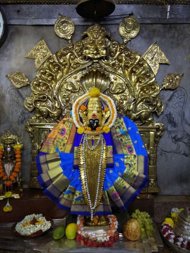
Indian Goddess

10) Malvan:

This quaint little town is nestled in the midst of crystal clear creeks and marvellous beaches. As the name goes the internationally delectable Malvani cuisine was born here along with huge cultivation of Alphonso mangoes.

There are forts, beaches and resorts all around the area and have a lovely summer holiday with friends and family as there is so much to explore.

Attractions:The Arse Mahal beach, Chivla beach, Tondavli beach are few of the places that promise you the best sunsets with the ocean backdrop. The Rock Garden is arguably the most famous of the Konkan tourist places,  that is situated in the town of Malvan.

The Malvan Wildlife Sanctuary houses a huge ensemble of marine flora and fauna, and you can discover the pleasures of the sea as you dabble in water sports, scuba diving and snorkelling.

Best time to visit: Winter.

Malvan Beach

Konkan Railway

The Konkan Railway is a railway operated by the Konkan Railway Corporation, with its headquarters at CBD Belapur in Navi Mumbai, Maharashtra, India. The first passenger train ran on Konkan railway tracks on 20 March 1993, between Udupi and Mangalore.

The 738.941-kilometre (459.157 mi) railway has a total track length of 918.515 kilometres (570.739 mi). Its length through Maharashtra is 381.181 kilometres (236.855 mi), through Karnataka 251.76 kilometres (156.44 mi), and 106 kilometres (66 mi) through Goa.

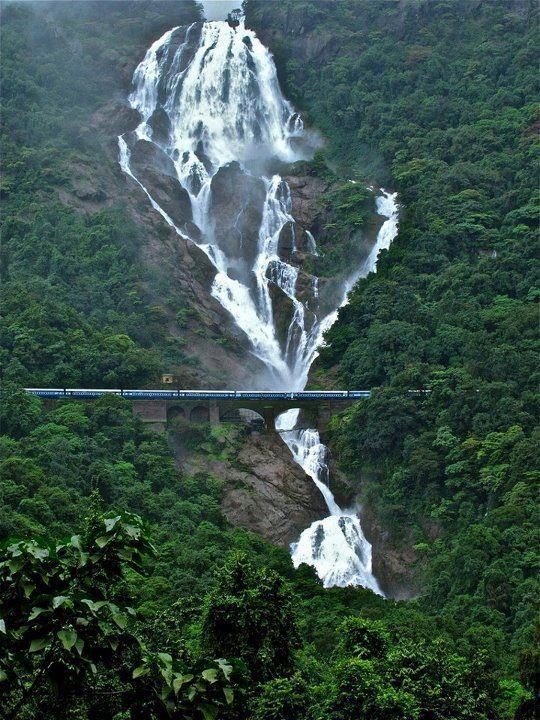
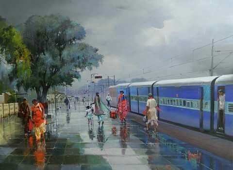
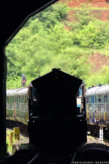
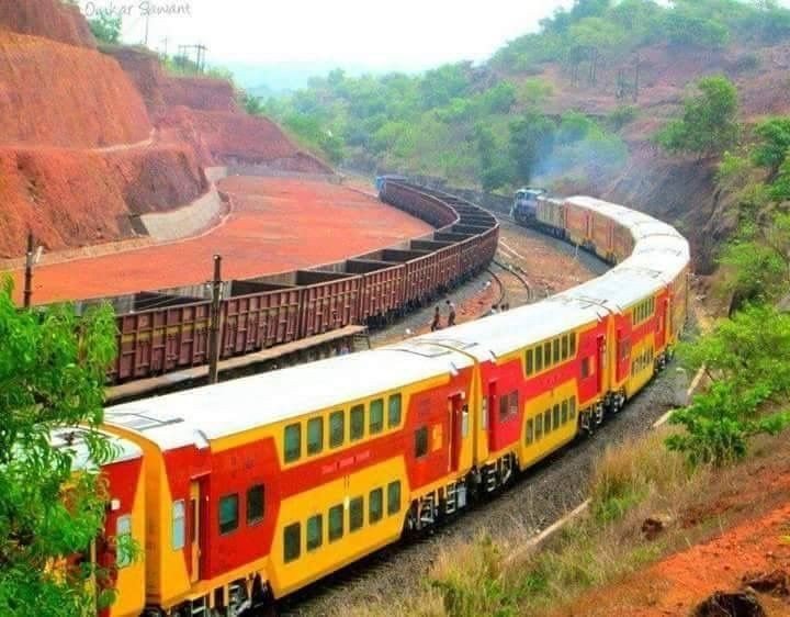
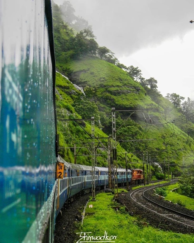
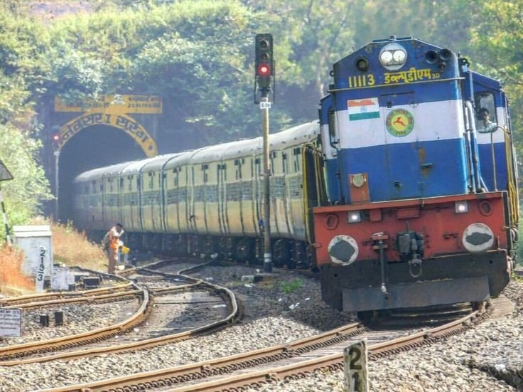
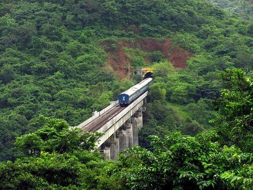
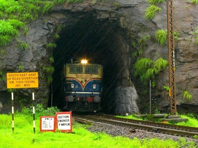
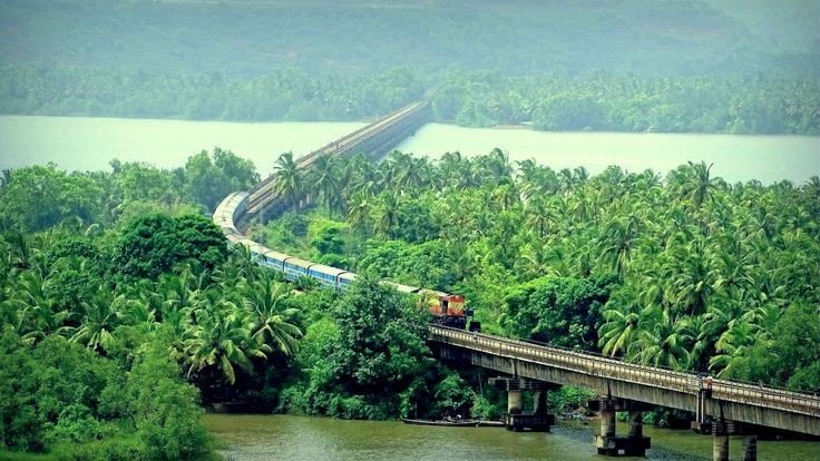
Few Pictures of Konkan Railway

Thanks for Watching and Reading, If u like my post do Like comment and subscribe