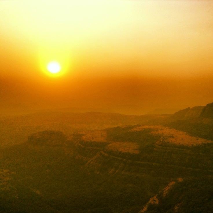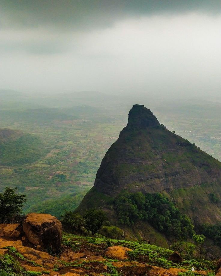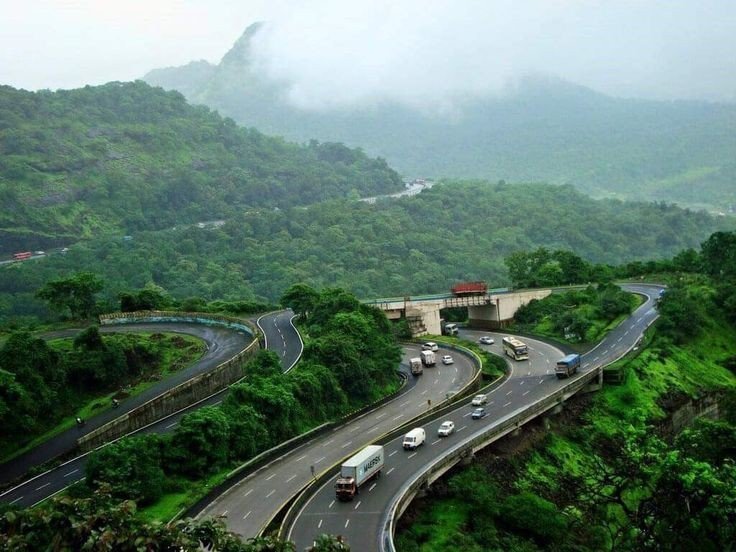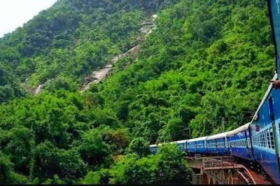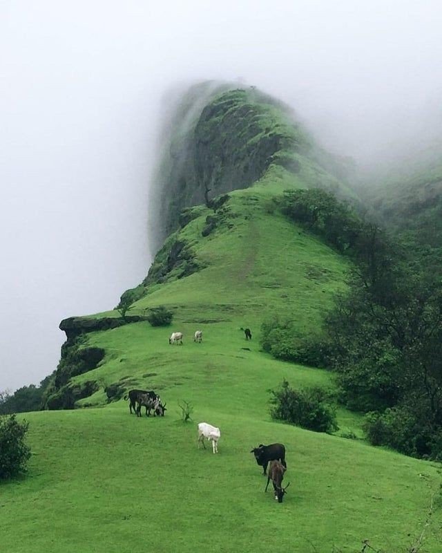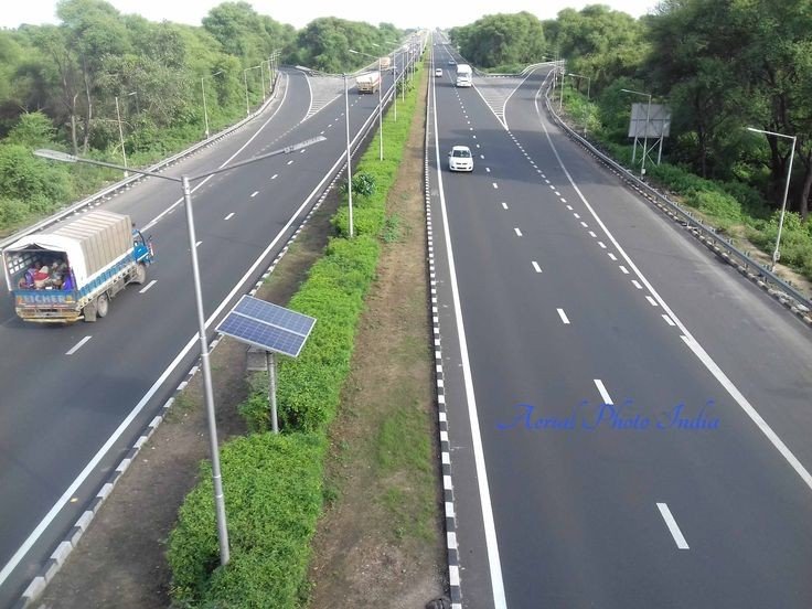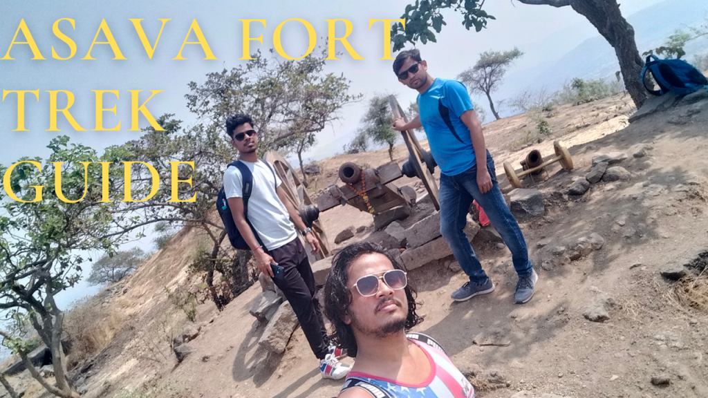
Asava fort/Killa Trek guide

Fort Info

Name:- Asawa/ Asava

Height:- 1080ft

Place:- Boisar, Maharashtra, India

Difficulty:- Moderate

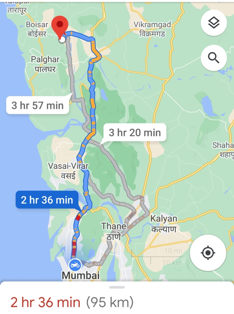
Distance:- 95km from Mumbai

Trek Duration:- 1hr 30min Max/1hr 15min minimum
Personal Experience

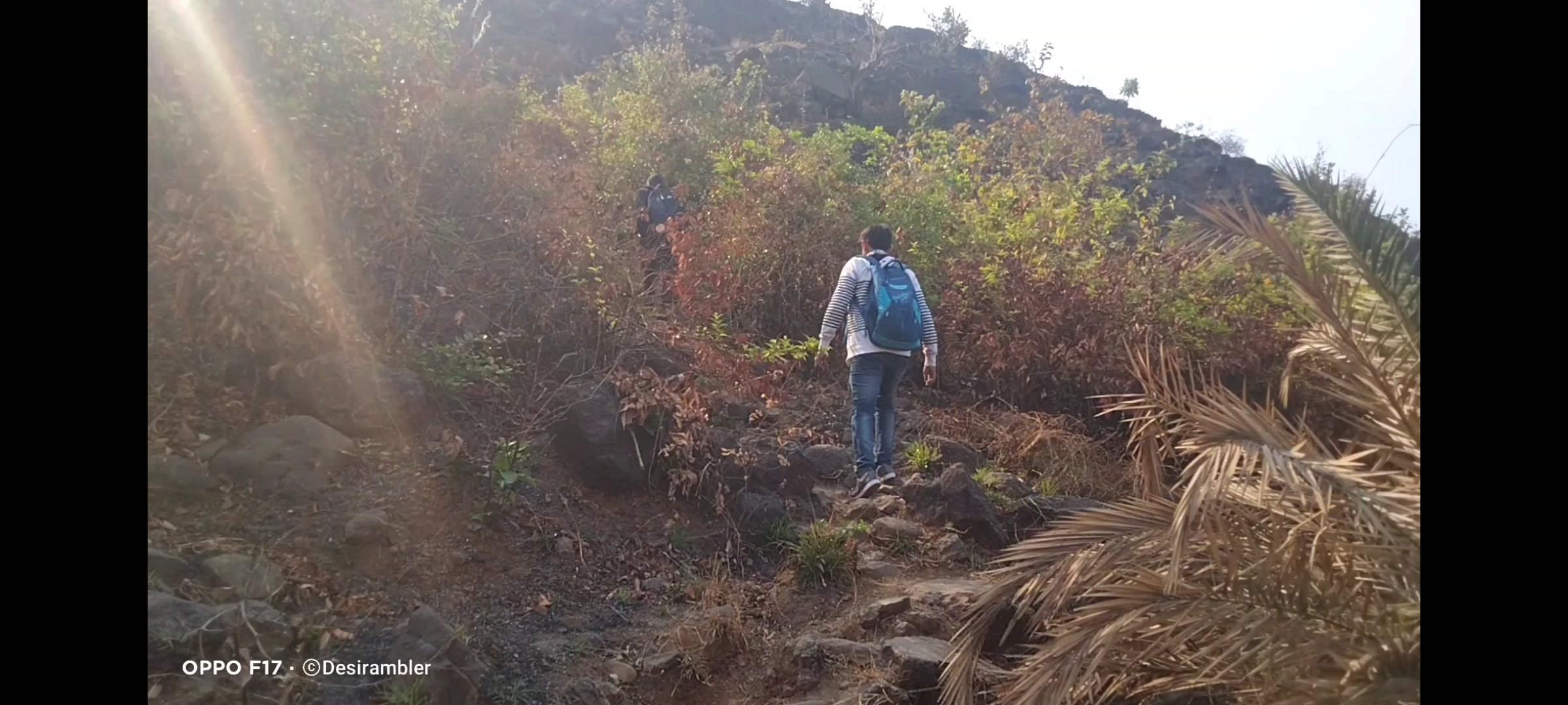
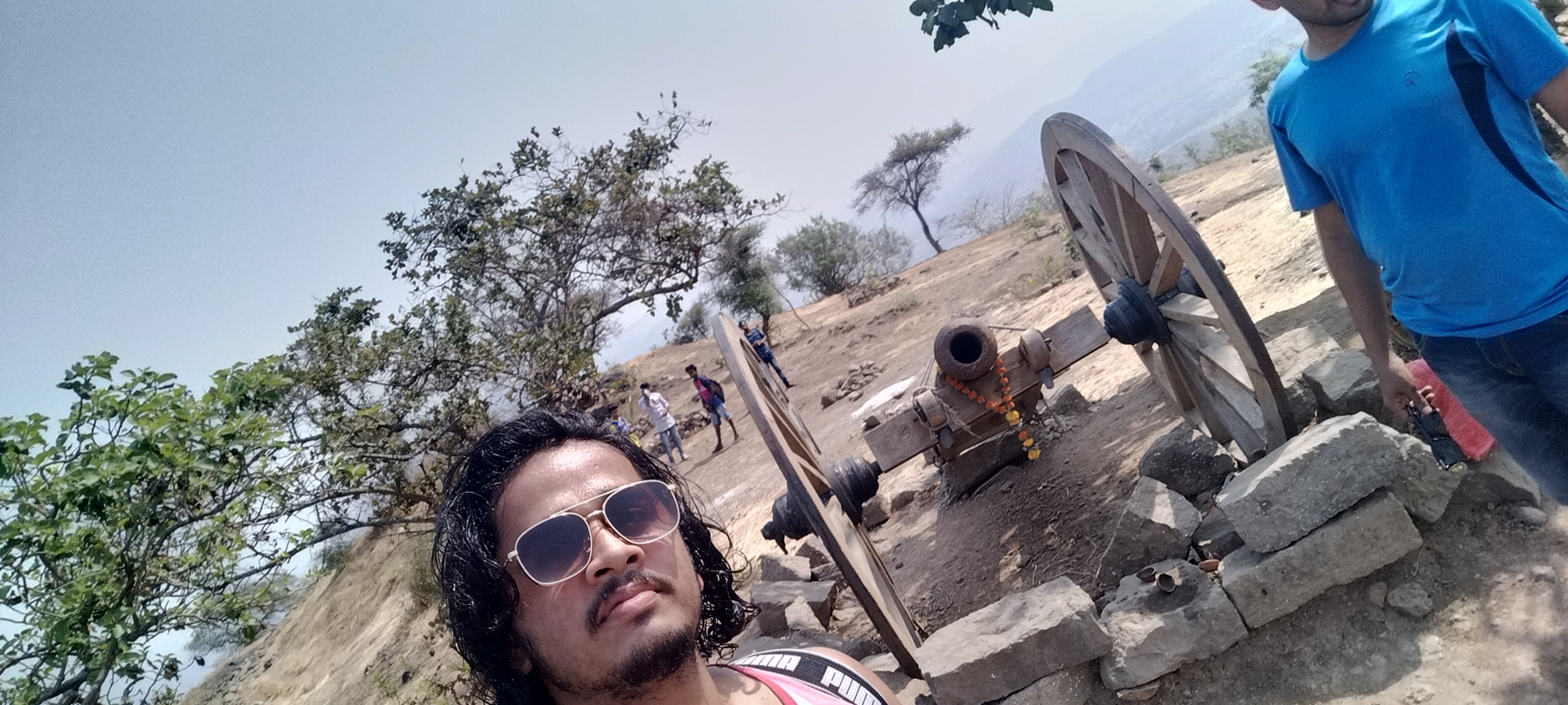
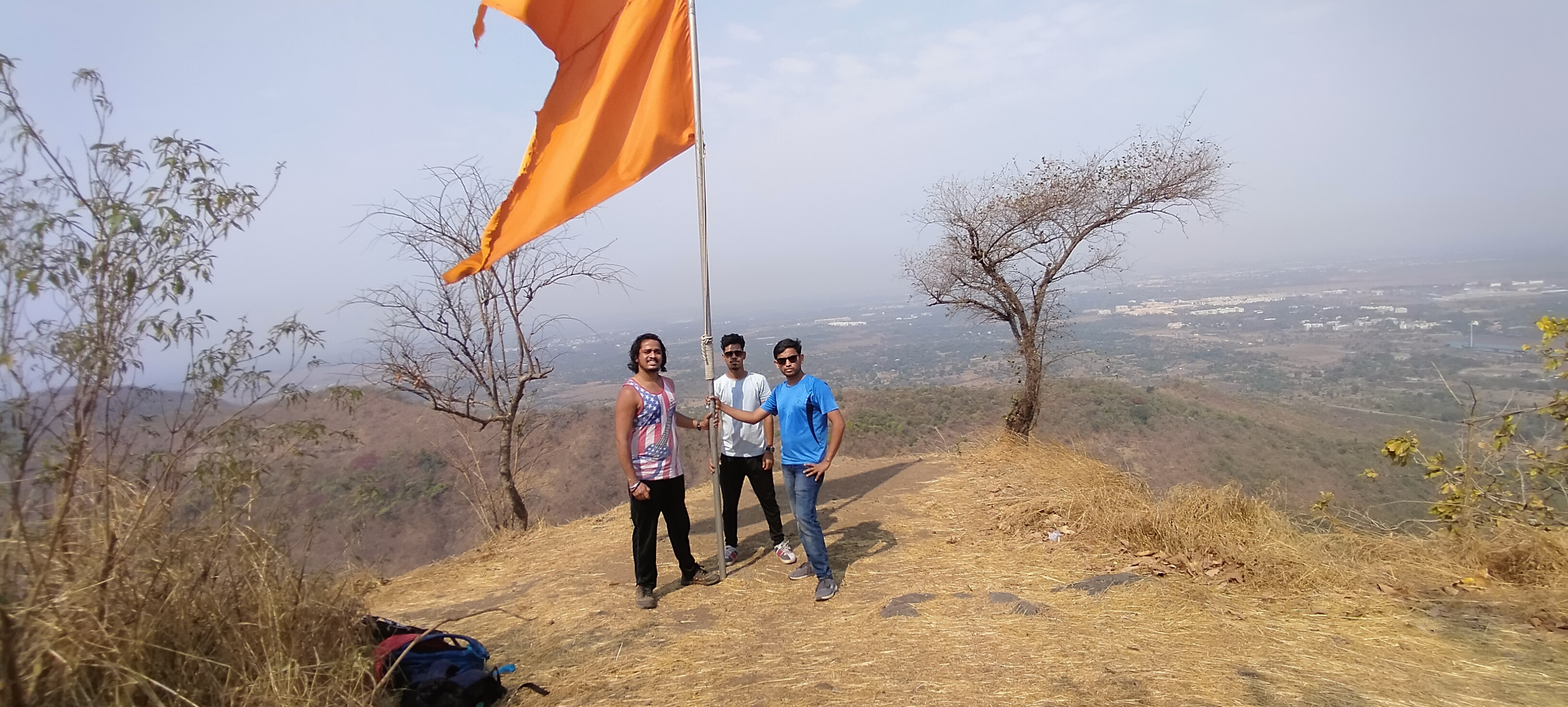
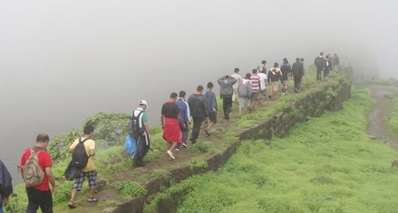
Started my journey to Asava/ Asawa fort which is situated in Boisar, Palghar District at 6:00@m early morning as I always prefer to go Solo but while watching my blogs and vlogs on my You Tube channel “Desirambler” they also came with me so the joy of Trekking gets more, it was and it is the time of Corona pandemic so there were few restrictions like lack of Road Transport and it was complete shutdown of Railway so Personal Vehicle was the best choice, 2 bikes for 3 person including me, our road trip started from the place where we met in Mumbai, as per the Google map it showed 2hr 36min, but with the descent speed and empty road we reached in 2hrs, the real confusion was to find the road to Fort through Village Warangade, it took 15 mins to find the actual way. we started our trail by 9:00 am after having breakfast.

You will find no parking facility near the fort, you can park bike or car in the Village on your own risks, we parked our bikes at the starting point of the trek which was 10 mins away from the Warangade Village, if you still got confused in finding the way through the village first reach near Viraj Industry which is the biggest industry at that place.

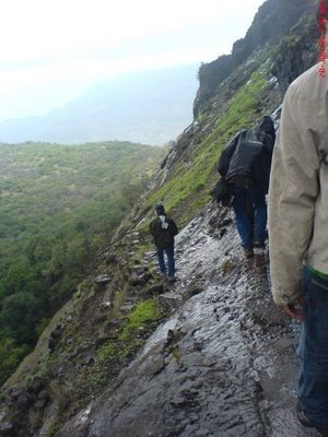
Don’t ever judge the difficulty of the Trek by its height, because I did so and got trapped in climbing the 2nd and final mountain by underestimating the way. as compare to my previous trek experience the climb was with rocks and the rocks gives legs support to climb, but at this fort the climb was full of slippery rocky way which gave our legs lots of tension to climb.
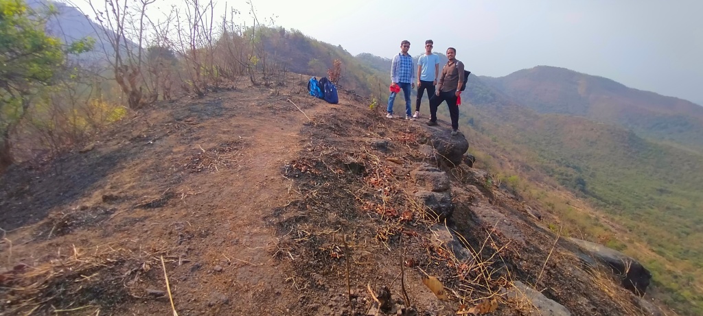
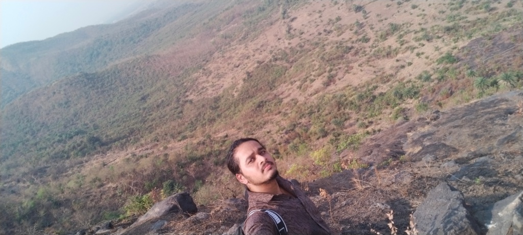
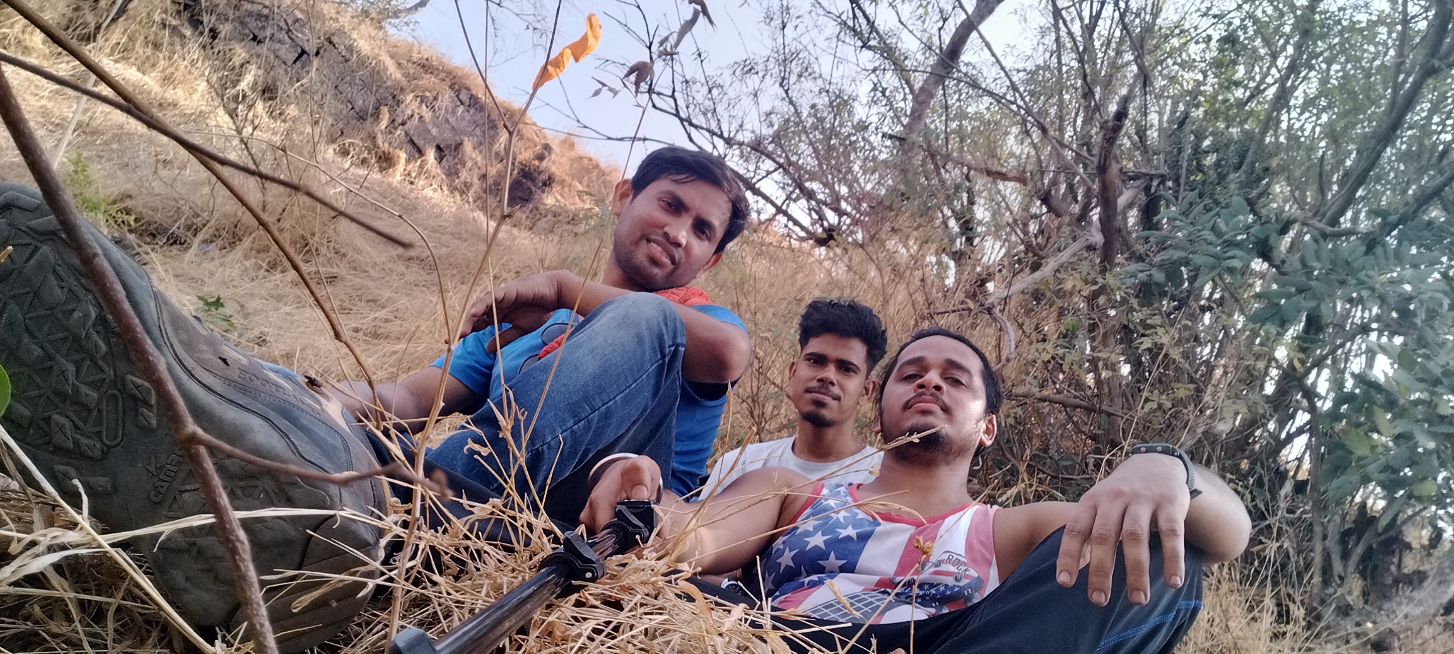
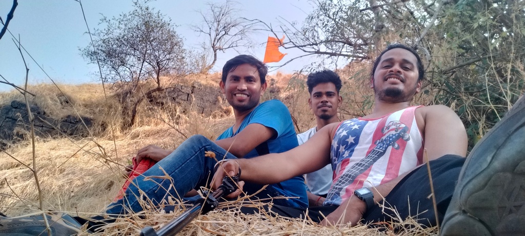
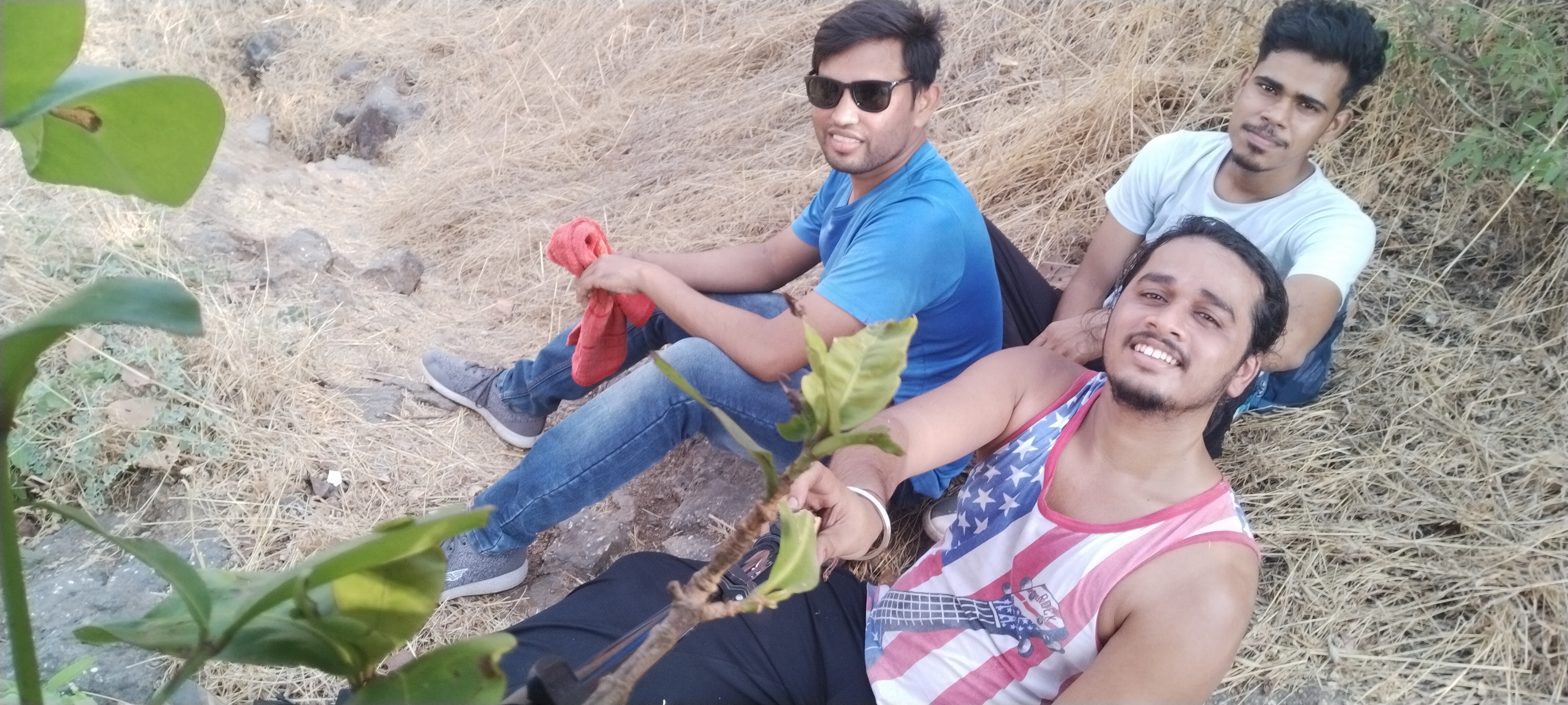
Me and my Frnds

Plz don’t forget to bring enough water bottles, I recommend 3liters per person and dehydration pills if possible, carry non oily snacks as I suggest in my every Trek, on the other hand no Stores for water and snacks in between the way, the trail is full of Woodland forest with no air flowing in summer,
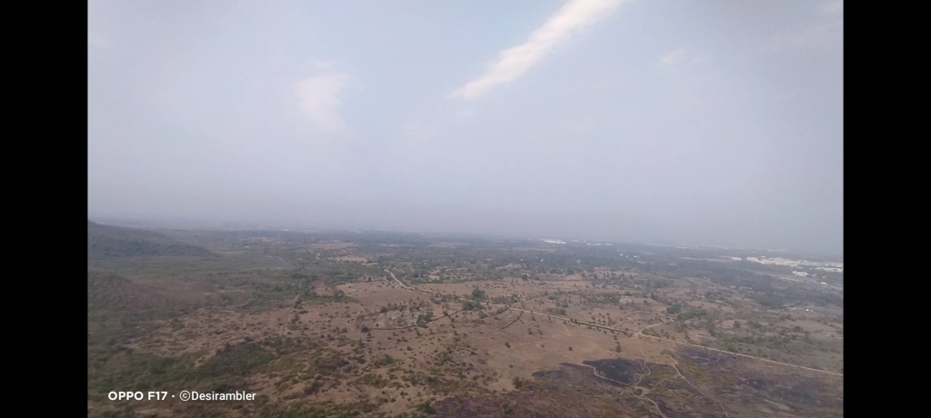
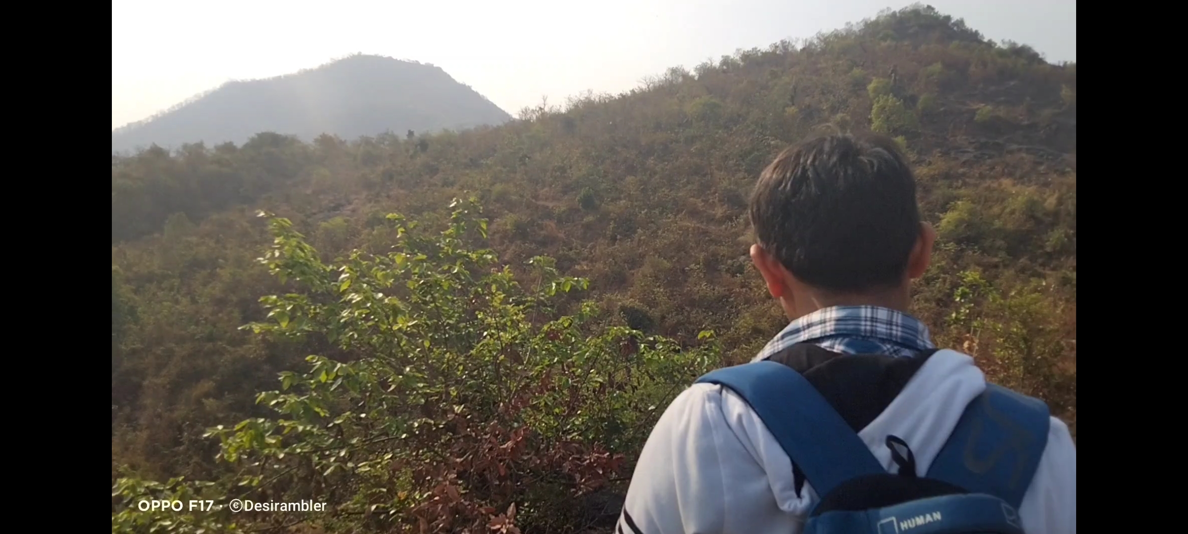
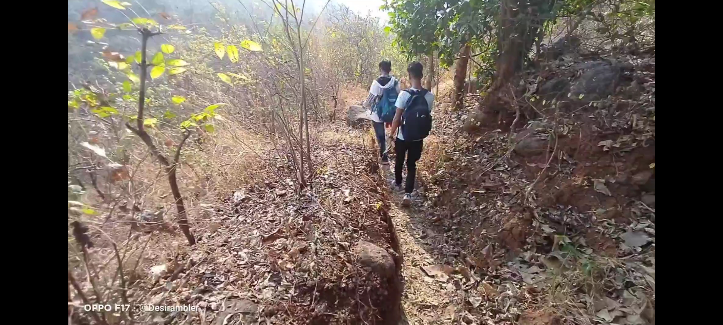
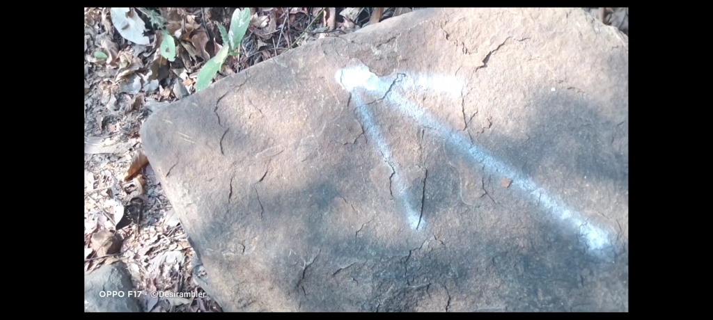
No chances of getting lost in the jungle because the villagers have marked arrow like picture on some countable rocks in the way to help the trekkers like us to find the route,
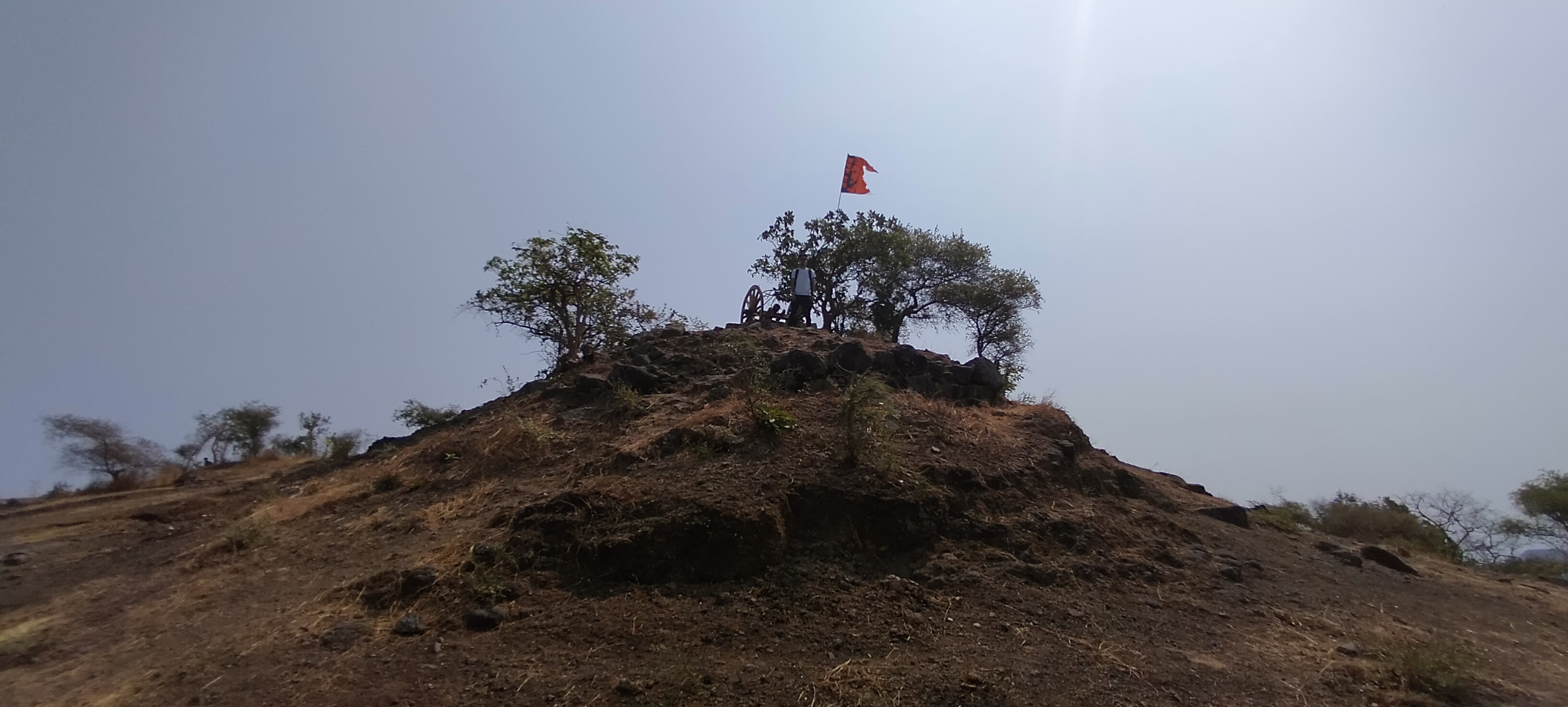
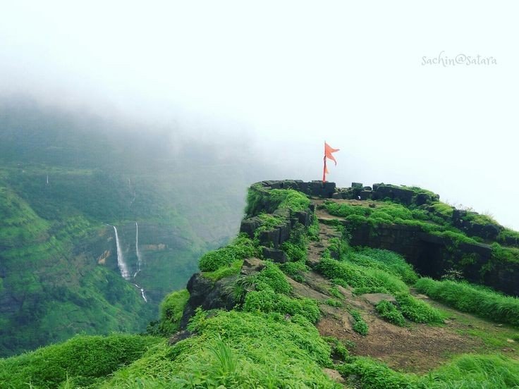
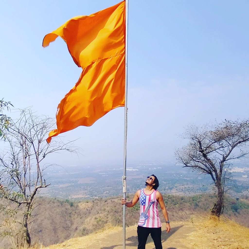
Me and my friends experienced a lot of humidity in the Climate, as i told you before there were no store in between the trail to buy water or snacks so i suggest to drink water sip by sip because the sweat i drained was incredible after 45mins of trekking my shirt was full of sweat so we decided to take our first break, i changed my shirt we had some non oily snacks and drank water our break last for 20 min which was a big one, now there was only on mountain to climb and this was the steepest one with slippery rocky way as i told you before, time comes when the climb becomes so hard that you lose self motivation and think of quiting the trek but you have to believe in yourself and keep trying look at th top the saffron colored flag and imagine yourself at that same place holding flag this thinking will energize your mind and allow the body to move forward, still 45 min still to climb after taking break, this time we found two local people climbing the fort as we were moving forward, as it was the occasion of Mahashivratri so they were going for worshiping Shiva Temple at the fort. They told us some interesting facts about the fort and some special places to Visit like the cave and the water stream which is 365 days of supply fresh chilling water as compare to us they lot more experienced in Climbing mountains because they were 15 to 20 years elder then us, i have always noticed that the final 100 steps remaining are the tougher steps to Climb.

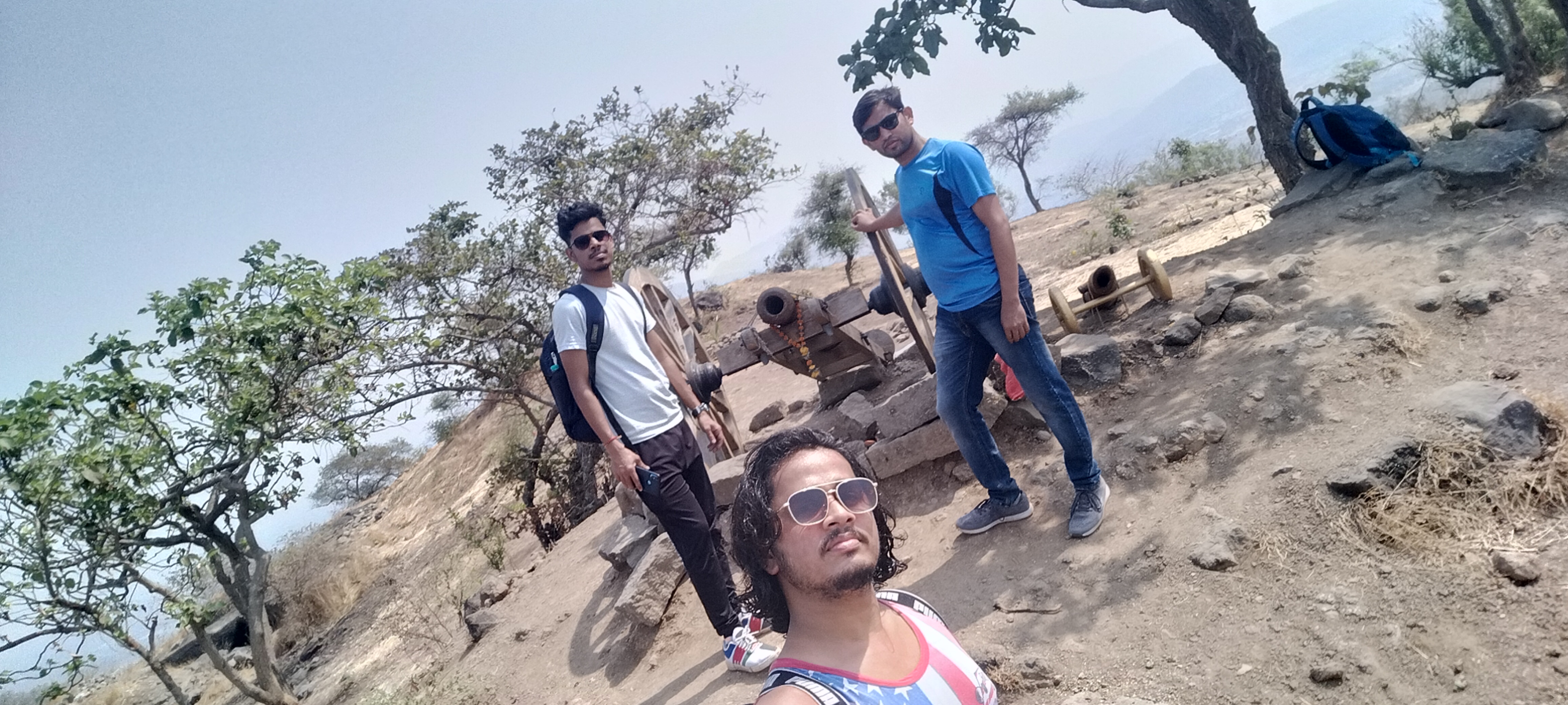
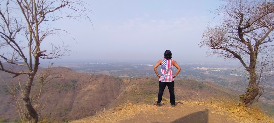
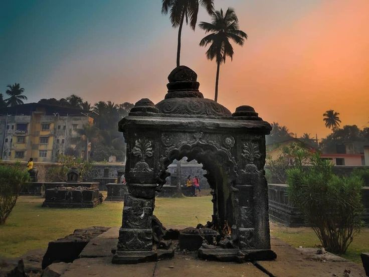
Below are the few pics clicked inside the fort
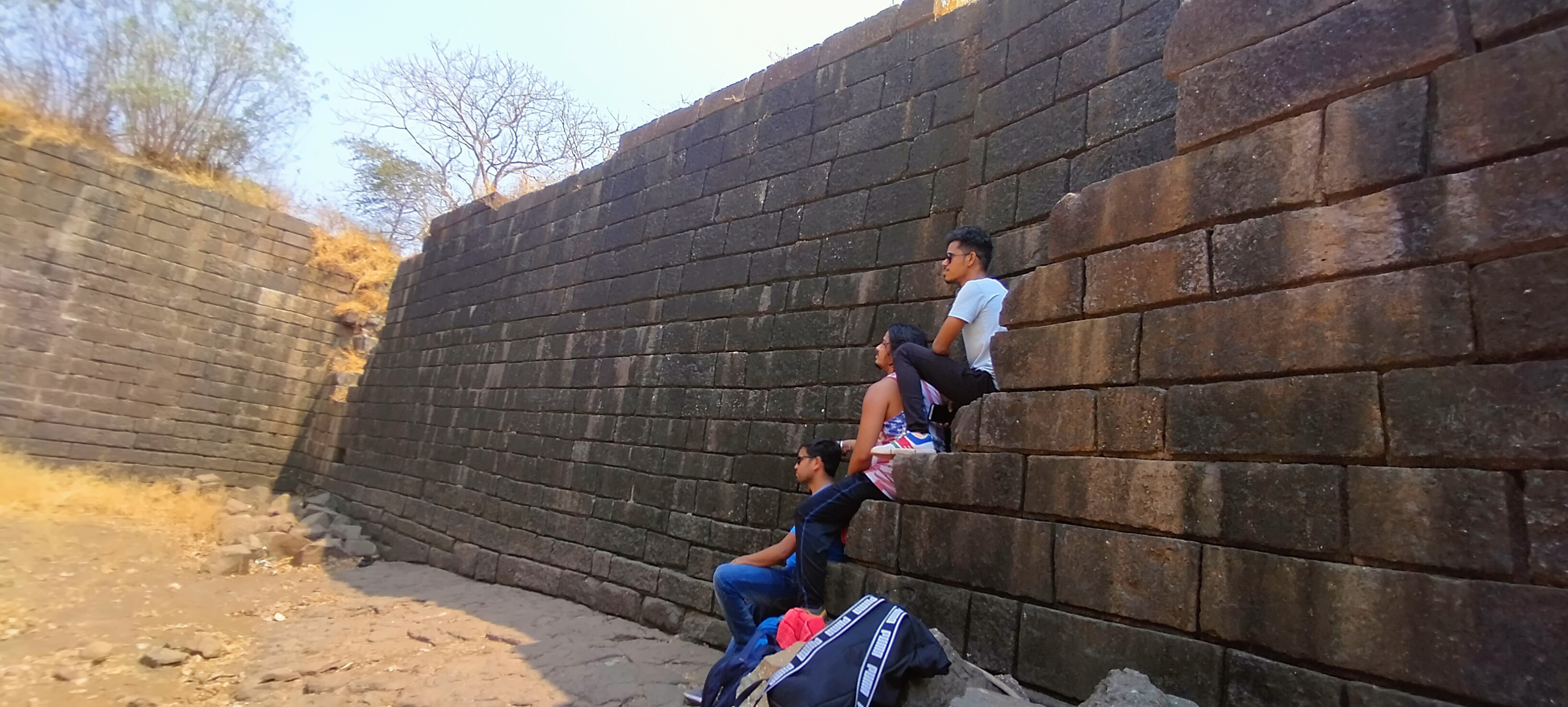
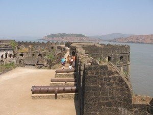
After reaching the top i saw that this fort is not big enough to roam and take rest as there no place to rest Like other big forts Like Mahuli, Sindhudurg fort and Prabhalgad, we decided to take to walk around the fort to see what it has like we found 4 water tank of which 1 was huge as you can see at the below picture and small Temple, small cannon many of the monuments was flushed away due to heavy rains and also no protection facility made by Government to protect it. the cave ans water stream as i mentioned was build in between the Climbing way but at the other side which was impossible to descent and Climb again because there is only one way to exit the fort if you are First time trekker at this fort like me, we spend 1hr at the fort at the raging sun was on our head which made us exhausted and Hungry, started our exiting way as soon as possible because our water supply was going to end soon, it was much difficult to go down because there were no support of rocks or any tree and the way was too steep, if unfortunately some thing happens and we slide down it could hurt us Badly. in 1 Hr we reach the start point and exited the place in hurry because we all were starving like hell.
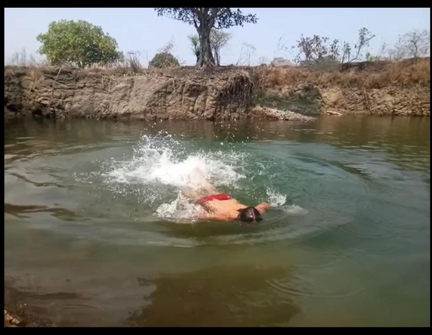
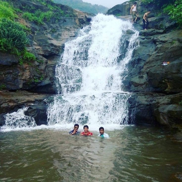
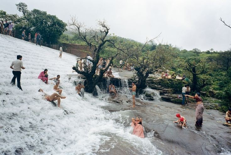
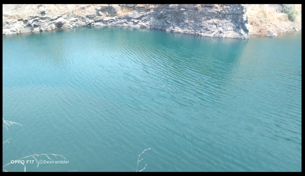
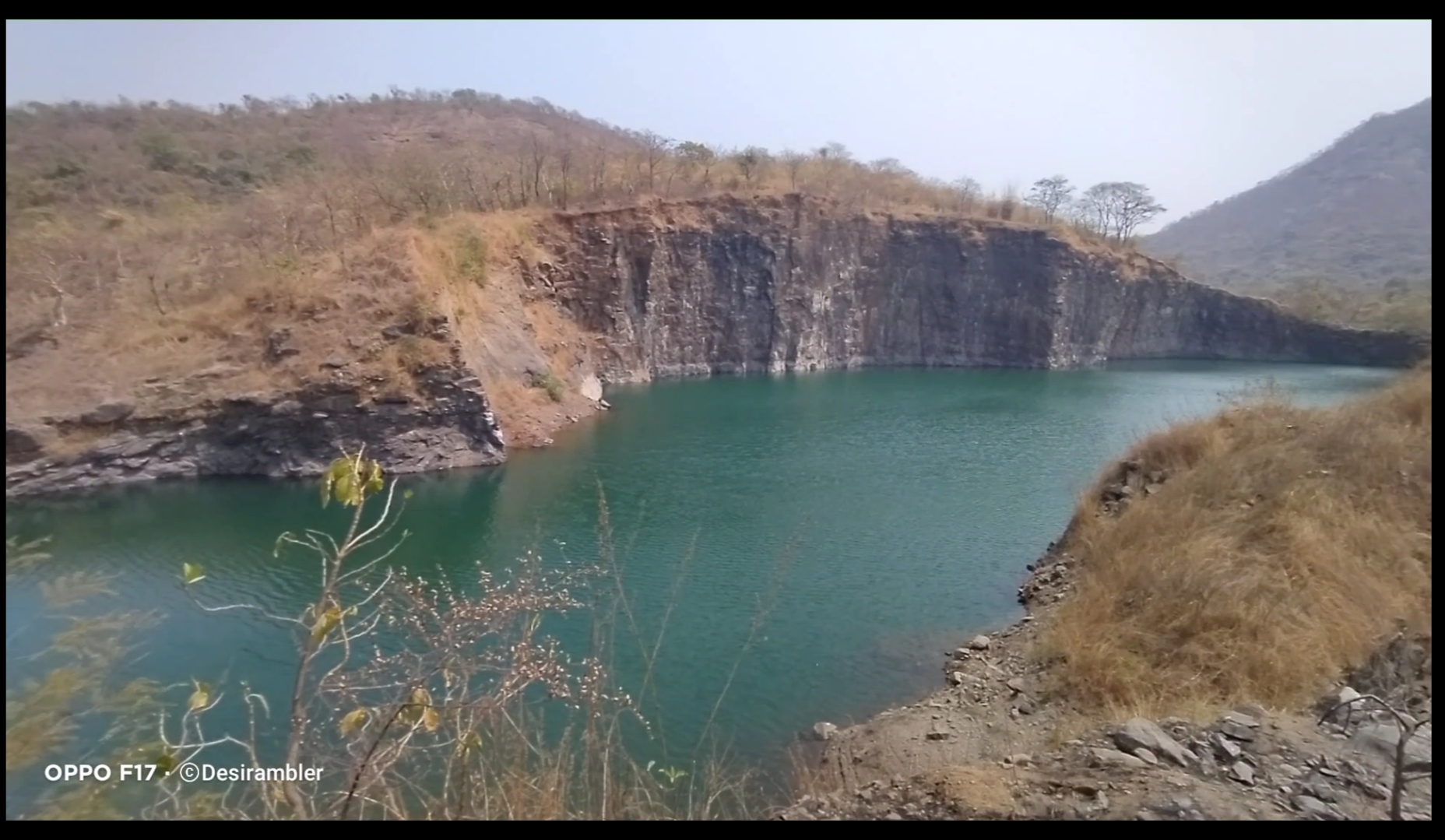
In between of the road we found a place which was amazing to watch and even to swim the best thing I do. It is the place where the rain water had been stored limitlessly.
To watch my full Experience video visiting Asawa fort click the given link below.

Thank you for reading My blog,

To support me Please like, comment, share and do follow my website.

Alibaug built for Tourism

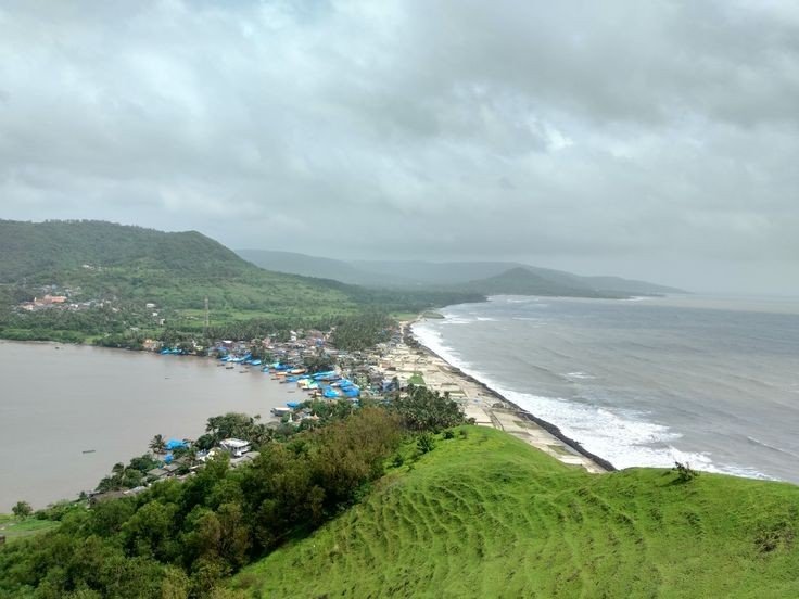
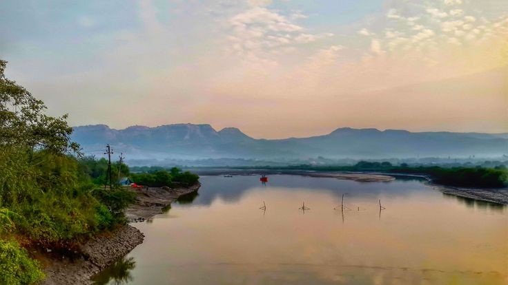
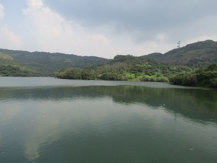
View of Lake and Sea

Introduction:- Alibag, also known as Alibaug, is a coastal town, just south of Mumbai, in western India. It’s known for its beaches like Alibag Beach and Varsoli Beach. Just offshore, 17th-century Kolaba Fort has carvings of tigers and elephants, and temples dedicated to Hindu gods, famous for its mouth watering Konkani delicacies.

Info:- Country-India
State-Maharashtra
District-Raigad
Elevation-0 m (0 ft)
Population (2011)-Total-20,743
Languages• Official Marathi

History:- Alibag and its surrounding villages are the historic hinterlands of Bene Israeli Jews. There is a synagogue in the “Israel Ali” (Marathi इस्राएल आळी meaning Israel lane) area of the town. A Bene Israelite named Ali used to live there at that time. He was a rich man and owned many plantations of mangoes and coconuts in his gardens. Hence the locals used to call the place “Alichi Bagh”(Marathi for “Ali’s Garden”), or simply “Alibag”.
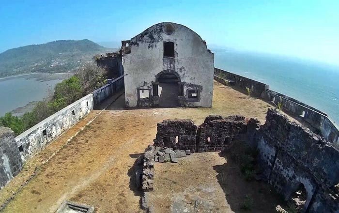
Transport:- You can travel through 3 ways which are given below.

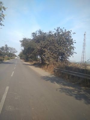
1. Road way:- This is the way to people who loves Road trip as it is long way from Mumbai, almost 100km via NH 66 3 hrs depending on your Vehicle speed and how many halt you take, most difficult way as compare to other way because the road goes through dense forest, big hilly mountain, Trible places and complete darkness you need an experienced driver or rider, the best time to travel is to leave at morning 5@m with fresh mood, morning light and less traffic.

Somewhere in Alibaug

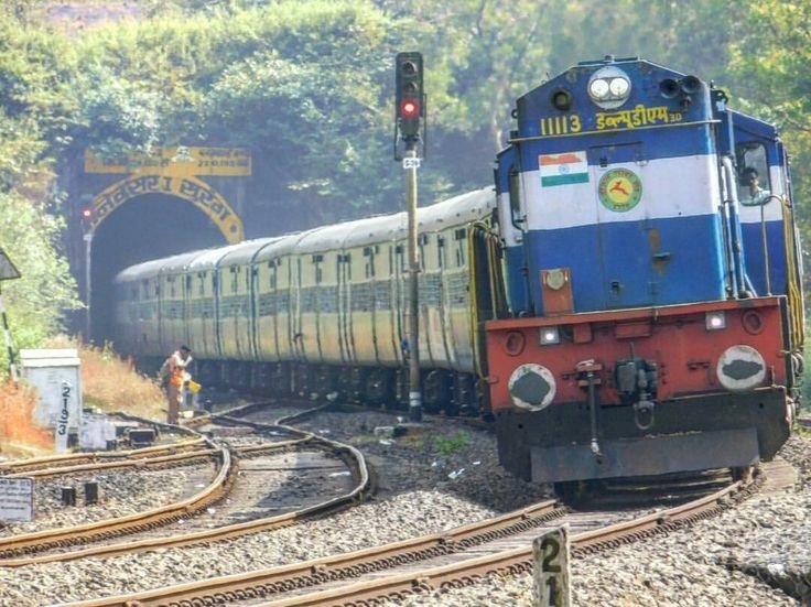
2. Train:- Visited only once by train with good experience in less than 3 hrs, Alibaug don’t have any dedicated Railway station, nearest Railway station is Panvel 36km from Alibaug and Pen 28Km you can decide where you have to halt for further journey, after departing from train you will get Bus till Alibaug.

Konkan Railway

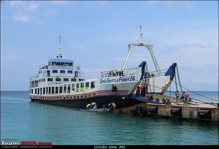
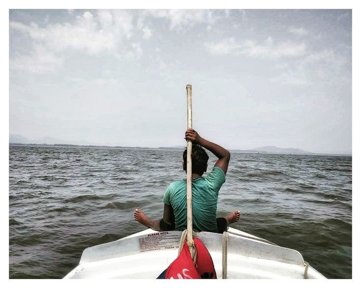
3. By Boat:- One of the easiest way to travel with, required to change boat at Mandwa in 30 min from Churchgate and after that 45 min of travel from Mandwa to Alibaug, also enjoying ocean views and boat experience, daily service offering for Alibaug.

Travel boat

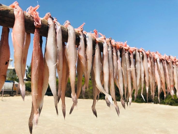
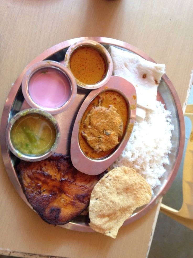
Cuisines (Food):- You will enjoy Variety of cuisines like Konkani, Indo chinese etc. Tourist visit this place especially for Fish foods like fish fry, fish curry.

Bombay Duck

No need to search for place to eat, each corner of streets is full of restaurant.

Full meal platter

Full meal platter will cost you around INR350 To INR500 depending restaurant to restaurant. Many good stalls are also run by local people near the beaches which are more attractive by looking at their dishes and cost as well.

Local stall near Beach

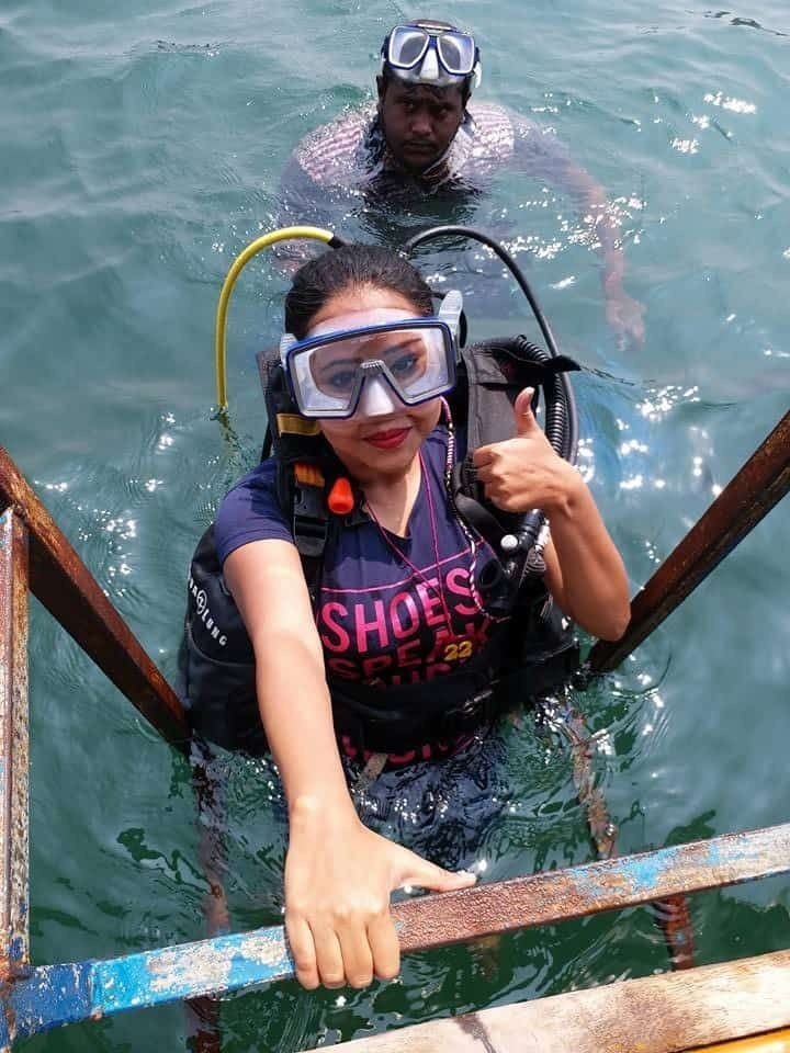
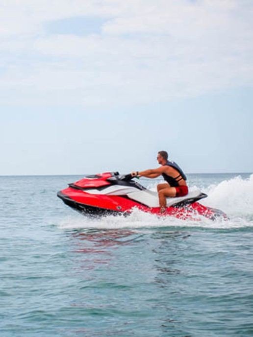
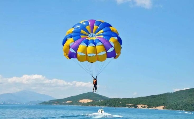
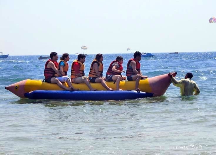
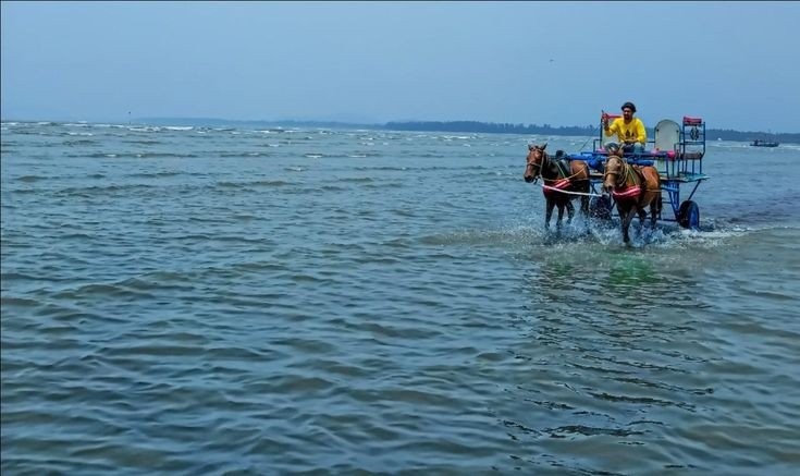
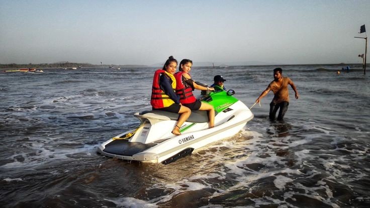
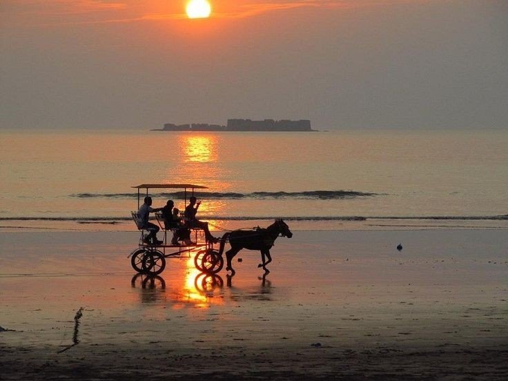
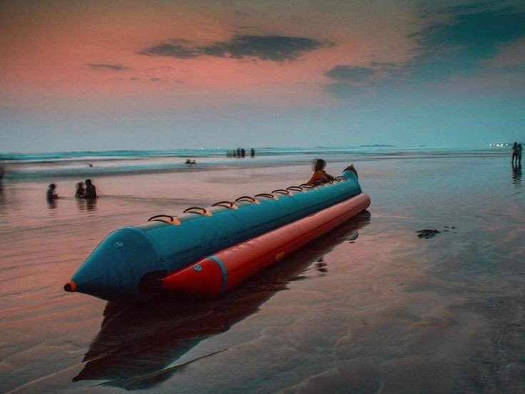
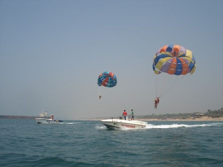
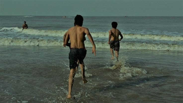
Tourism:- Alibaug is specially known for its Tourism like beaches, Water rides, Jetskies, water Paragliding, Scuba diving, beach horse riding, Forts etc.

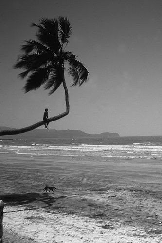
Below are few pictures of Alibaug tourism

If you are planning to travel here specially for Tourism and enjoying each and every ride you will need lumpsump Amt of money depending on with how many people do you travel and which Hotel you stay, no need to worry for booking hotels by call now a days many Apps are designed for easy booking in affordable price.

List of beach in Alibaug

  • Alibaug beach
  • Nagaon beach
  • Kashid beach
  • Murud beach
  • Rewas beach
  • Kasim beach
  • Varsoli beach
  • Korlai beach
  • Mandwa beach
  • Akshi beach

Below are Top 5 beaches ( Information and pics)

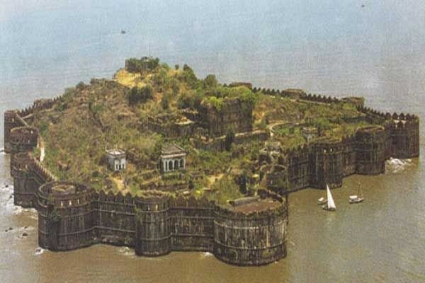
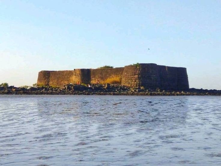
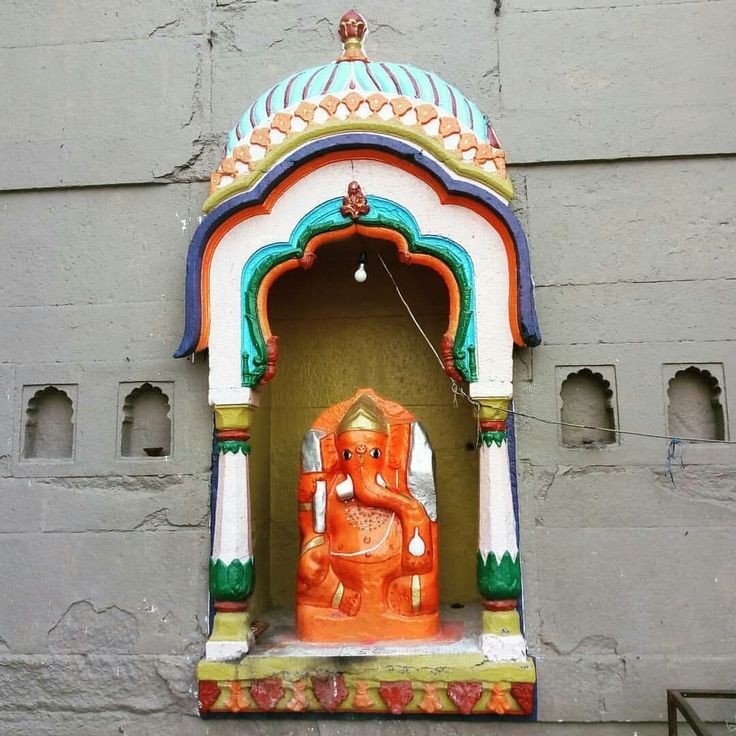
Alibaug beach:- The Beach on the name of Alibaug coast, this beach is one of the most popular beaches with the sight of Coloba fort providing the perfect view the bastion was also the sight of the Headquarters of The Maratha Army, while here you can visit the Ganpati temple, which is almost 400 years old.

Colaba Fort
God Ganesh

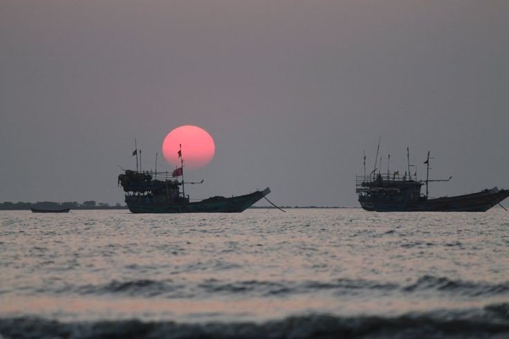
Kashid beach:- A beach town located along the stores of the Arebian sea, it is located in the Northern Konkan region of Maharashtra, 30km long from Alibaug beautiful symphony of colours, the blue waters the lush green fields, white sands and merry silver rivulets are all the blessings you can enjoy when you visit the beach.

Sunset ☀️ view

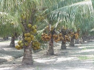
Nagaon beach:- One of the best beach which I like the most with my personal experience because this beach is the cleanest beach ever I saw and uncluttered sands and surf’s, this beach is also famous for various water sports a walk through the coconut and betel nut plantations will surely refresh you to no end and provide that perfect respite from hustle and bustle of everyday life.

Water Paragliding
Betel nut pack
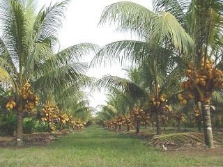
Coconut Plantation

Mandwa beach:- This beach is famous for its weekends gateway destinations around Mumbai due to its ferry service between Gateway of India and Mandwa, There are also many various tiny farms and sprawling plantations of Banana, Mangoes and Coconut. It is also got more popularity when the place has been mentioned in Bollywood film Agnipath.

Coconut 🥥 Plantations
Banana 🍌 plantations
Mandwa beach (old pic)

Murud beach:- A beautiful vantage point to the unconquered fort to Murud-Zanjira, the beach is a serene and peaceful retreat located along the coast of Rajapuri, A number of hotels, resorts and homestay dot the area around Murud that is peaceful to the extent of seeming unpopulated.

Murud beach

Below are the epic pics of Alibaug

Hope you like my blog, Thanks for watching for more blogs on explore kindly visit my blog menu.

Like, comment, share and follow for further notification.

Lonavla the Hill Station

Introduction:- Lonavala is a hill station surrounded by green valleys in western India near Mumbai. .

Basic Info:-

Country:- India. State:- Maharashtra. District:- Pune. Area • Total 38 km (15 sq mi)

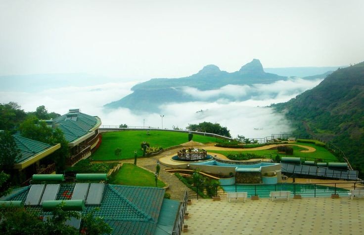
Mentioned below are some of beautiful pictures captured………..

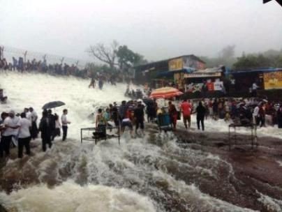
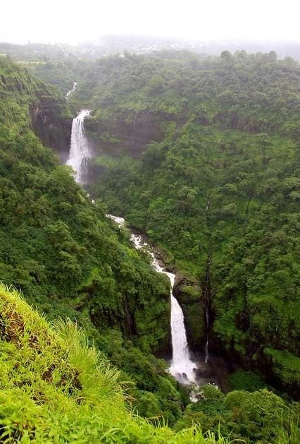
Water fall
Lonavla Hill
Sunset view
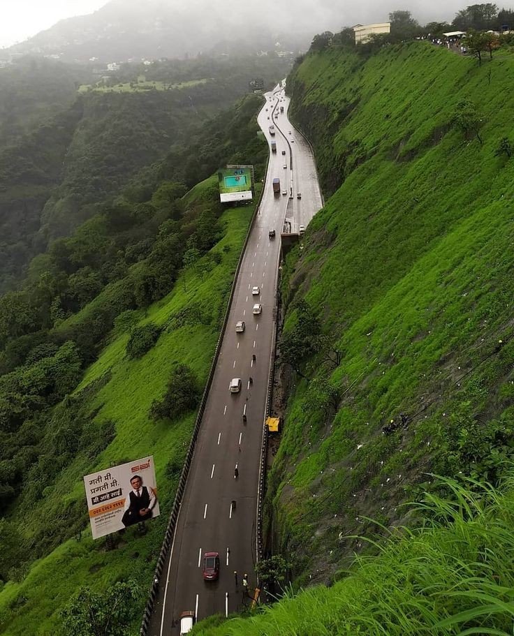
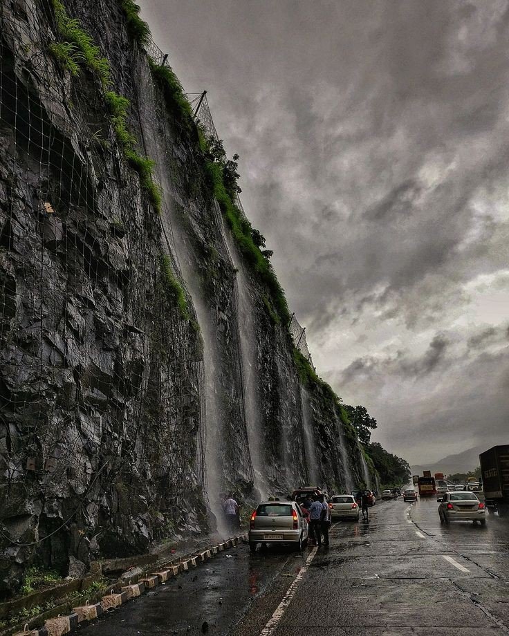
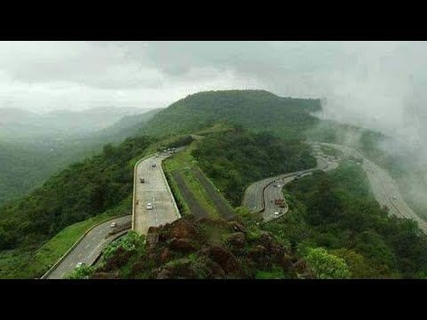
Road in monsoon

Reaching at lonavla:- best way to travel is by road, admiring nature’s beauty through eyes is an mind-blowing experience.

eg: If the start point is from Mumbai, Andheri it will be around 110km till the hill point, road is clear and simple not very jerky and confusing. Average reaching time 2hrs 30min, which is quite nice.

Below are means of transport

By road
Lonavala is on the Mumbai-Pune Expressway and is well-connected to several towns of Khopoli, Karjat, Talegaon Dabhade, etc.

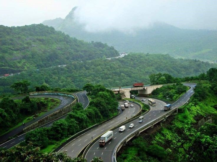
Mumbai Pune express highway

By train
Lonavla railway station
Lonavala is well-connected by train. Local trains run from Pune at 2-hour intervals. Those originating from Mumbai along the central line have Khopoli as their last station. Buses are available at regular intervals to complete the remaining 15 km of the journey to Lonavla from Khopoli bus station. It takes 2.5 hours by train from Mumbai and 1 to 1.5 hour from Pune. All trains, travelling between Mumbai and Pune, halt at Lonavala. Before the push-pull technology, trains from Mumbai used to halt at Karjat in Raigad District to attach banker locomotives before the train started the journey up the western ghats to reach Lonavala.

Train to Lonavla

By air
Lonavla does not have an airport, though the Indian Air Force station is situated on the way to Aamby Valley City. The city of Aamby Valley has its own private airport. The nearest commercial airports are Pune International Airport at 64 km and Chhatrapati Shivaji International Airport at 104 km. A seaplane service is also available between Juhu and Pawana Dam, which is 14 km away from Lonavala.

Place of Attraction

  • Bhushi Dam
  • Tiger point
  • Pawana Lake
  • Rajmachi Point
  • Rajmachi Fort
  • Sunil wax museum
  • Karla Caves
  • Lohagad Fort
  • Visapur Fort
  • Lion Point

Place Information with pictures

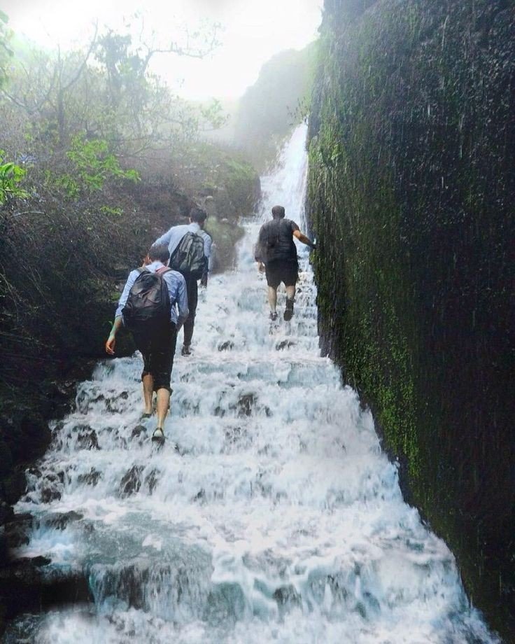
1. Bhushi Dam:- A waterfall near the dam is located between Lonavala and I.N.S. Shivaji. Buses running on the I.N.S. Shivaji Road stop here.

Bhushi Dam

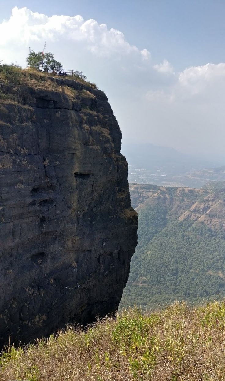
2. Tiger Point:- Tiger’s Leap also known as Tiger’s Point is a cliff-top with a sheer drop of over 650 m, giving an extensive view. Buses are available up to INS Shivaji and the remaining distance of about 1.6 km has to be covered on foot. Legend has it that while being chased by a tiger once, the Maratha Empire king Shivaji jumped into a ditch on the hill and the tiger leaped off it into the valley giving it the name of tiger’s leap.

Tiger point

3. Pawna Lake:- Lake is surrounded by natural scenery, about 1.6 km from the town. The lake dries up during the winter and summer months offering an expanse of green grass which is used by walkers and joggers.

Pawna Lake

4. Rajmachi Point:- It is located about 6.5 km from Lonavala. This point commands a view of Shivaji maharaj’s fort, Rajmachi (Royal terrakouioce) and the surrounding valley. Regular State Transport buses ply between Rajmachi Point and Lonavala from the State Transport Bus Stand. The Vaghjai Dari is also located here.

Rajmachi Point

5. Rajmachi fort:- It is a historic fort close to Lonavala and attracts a lot of trekkers during the monsoon season. The fort also comprises two other forts – Shrivardhan Fort and Manaranjan Fort. Besides, the fort is known for the fireflies that lit up the surroundings in night.

Rajmachi fort

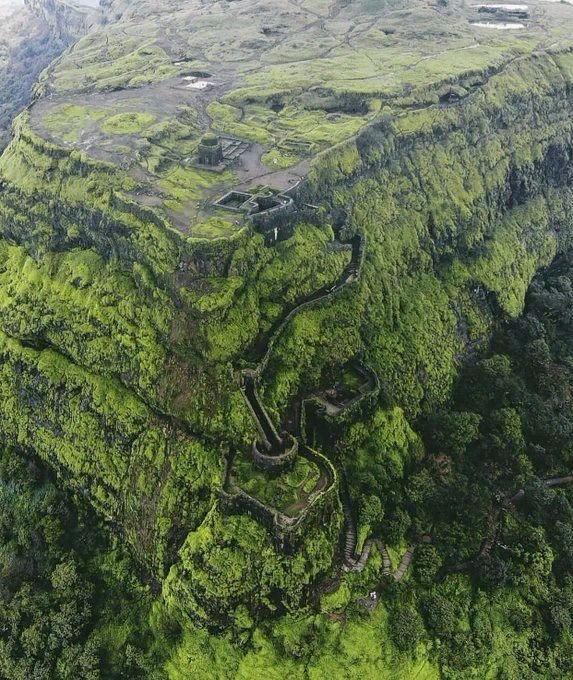
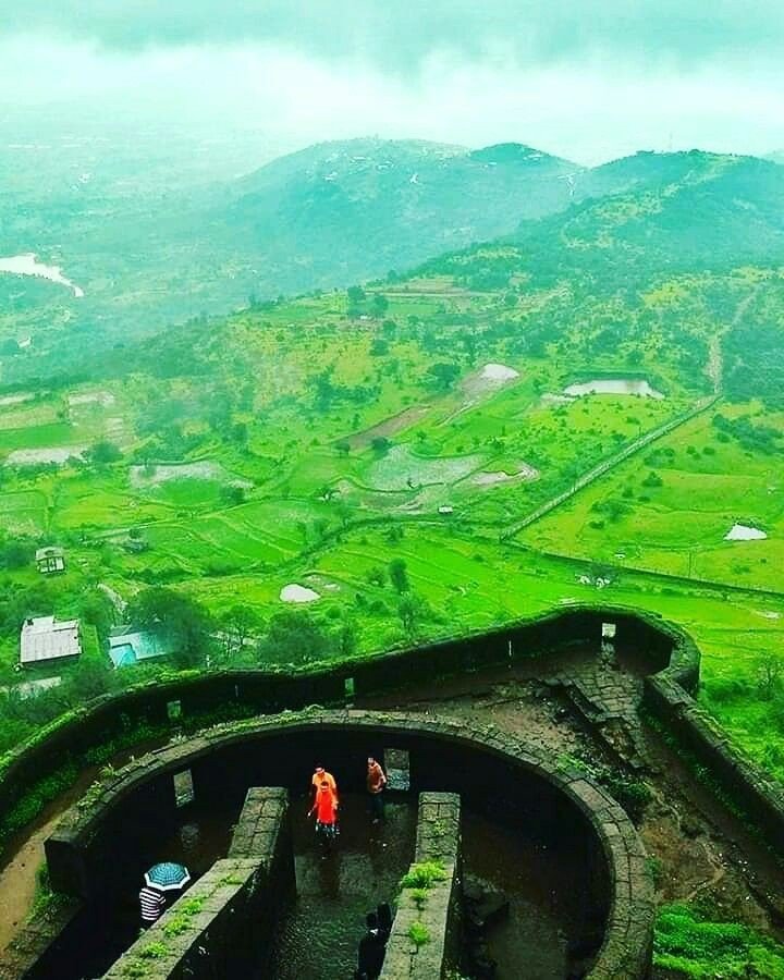
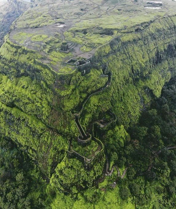
6. Lohagad fort:- A robust climb of about 11.2 km from Malavali railway station takes you to the ‘Iron Fort’, once a formidable battle-station of Shivaji. The fort commands a view of the surrounding hills and hamlets.

Lohagad fort (birdeye view)

Popular food

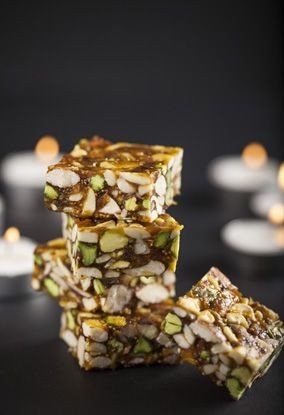
Lonavla chikki: It is a chikki, named after Lonavala a town in Pune district of Maharashtra India. Its genesis lay in a sweet called gud dani/ guddani/ gurdani made from jaggeryground nuts and ghee, sold by The Real Maganlal Agarwal from his sweet meat shop in Lonavala, this was packaged by railway authorities and sold to train travellers between Lonavala and Mumbai, encouraged by this Agarwal renamed gud dani “Maganlal Chikki” however it became and continues to be called Lonavala chikki.

Lonavla chikki

History of the place

Present day Lonavala was a part of the Yadava dynasty. Later, the Mughals realized the strategic importance of the region and kept the region for an extended time. The forts in the region and the “Mavala” warriors played an important role in the history of the Maratha Empire and that of the Peshwas. In 1871, the Lonavala and Khandala hill stations were discovered by Lord Elphinstone, who was the Governor of Bombay Presidency at the time.

Tourism

Lonavala and the adjacent Khandala are twin hill stations 622 metres (2,041 ft) meters above sea level, in the Sahyadri ranges that demarcate the Deccan Plateau and the Konkan coast. The hill stations sprawl over an approximate area of 38 square kilometres (15 sq mi). Tourism peaks during the monsoon season. The name Lonavala is derived from the words ‘leni‘ which means caves and ‘avali‘ which means series. i.e. ‘a series of Caves’ which is a reference to the many caves like Karla CavesBhaja Caves and Bedsa that are close to Lonavala. A trip to Lonavala and Khandala can be combined with sight-seeing visits of Karla, Bhaja and Bedsa caves and also the two fortresses, Lohagad and Visapur. Another place of interest is the Tungi fort, one of the forts captured by Malik Ahmad near the village of Karjat and was known for its natural strength. The Andharban trek begins from village Pimpri, passes through dense forests, valleys and waterfalls and ends in Bhira.

Last but not the least let’s check out some beautiful pictures of lonavla below

If you like my blog pls like, comment, share and subscribe.